Elevation of Bishops Head Rd, Toddville, MD, USA
Location: United States > Maryland > Dorchester County > 10, Straits >
Longitude: -76.0671349
Latitude: 38.23849
Elevation: 0m / 0feet
Barometric Pressure: 0KPa
Related Photos:

Storm and Mist
'Ats a lot of blue, eh?
House in the middle of the Bay - literally
View atop the Narrows Ferry Bridge

Trail view two

Trail view

Hoopers Island

Deal Island, Md.
The way out...

Summer Dayz

#sunset

chesapeake bay beach

summer dayz

Deal Island, Md.

Deal Island, Md.

Deal Island, Md.

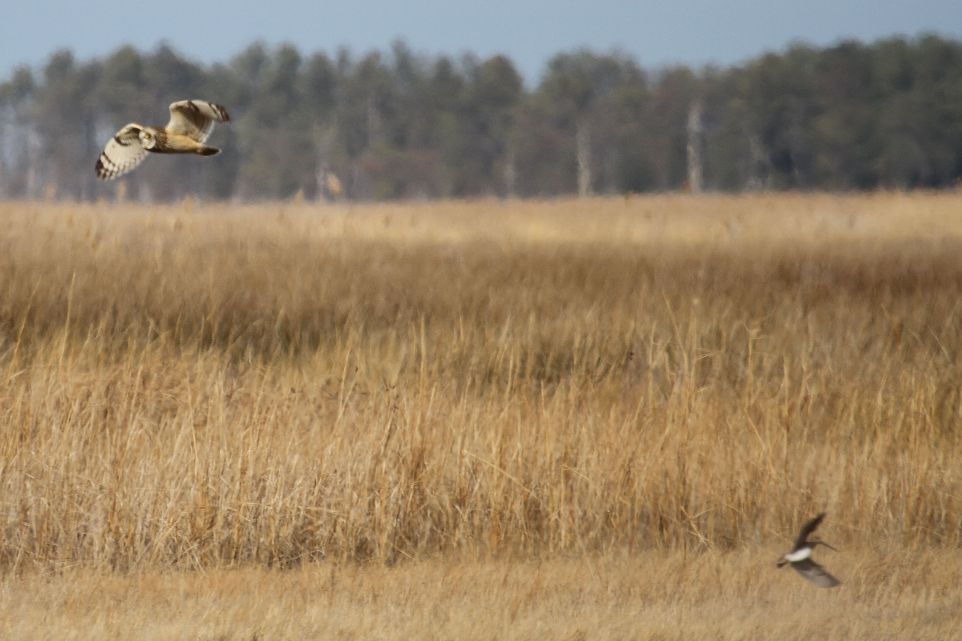
Short-eared Owl - Dorchester County
Short-eared Owl - Dorchester County

Short-eared Owl - Dorchester County

Roaring Point Sept 22 2012 040
Roaring Point Sept 22 2012 037

Short-eared Owl - Dorchester County

Short-eared Owl - Dorchester County

20150528-IMG_2756

Safe Harbor Deal Island 1
Blackwater River

Roaring Point 1
Topographic Map of Bishops Head Rd, Toddville, MD, USA
Find elevation by address:

Places near Bishops Head Rd, Toddville, MD, USA:
Bishops Head Rd, Crocheron, MD, USA
Phillps Gunning Club Rd, Crocheron, MD, USA
Crocheron
10, Straits
2118 Wingate Bishops Head Rd
2710 Toddville Rd
Toddville
2562 Toddville Rd
2248 Elliott Island Rd
2250 Elliott Island Rd
18, Elliott
Elliott Island Rd, Vienna, MD, USA
9, Tangier
1822 Hoopersville Rd
Hoopersville Rd, Fishing Creek, MD, USA
Harrison Point Road
Harrison Point Road
Hoopersville Rd, Fishing Creek, MD, USA
10577 Harrison Point Rd
Temple Road
Recent Searches:
- Elevation map of Greenland, Greenland
- Elevation of Sullivan Hill, New York, New York, 10002, USA
- Elevation of Morehead Road, Withrow Downs, Charlotte, Mecklenburg County, North Carolina, 28262, USA
- Elevation of 2800, Morehead Road, Withrow Downs, Charlotte, Mecklenburg County, North Carolina, 28262, USA
- Elevation of Yangbi Yi Autonomous County, Yunnan, China
- Elevation of Pingpo, Yangbi Yi Autonomous County, Yunnan, China
- Elevation of Mount Malong, Pingpo, Yangbi Yi Autonomous County, Yunnan, China
- Elevation map of Yongping County, Yunnan, China
- Elevation of North 8th Street, Palatka, Putnam County, Florida, 32177, USA
- Elevation of 107, Big Apple Road, East Palatka, Putnam County, Florida, 32131, USA
- Elevation of Jiezi, Chongzhou City, Sichuan, China
- Elevation of Chongzhou City, Sichuan, China
- Elevation of Huaiyuan, Chongzhou City, Sichuan, China
- Elevation of Qingxia, Chengdu, Sichuan, China
- Elevation of Corso Fratelli Cairoli, 35, Macerata MC, Italy
- Elevation of Tallevast Rd, Sarasota, FL, USA
- Elevation of 4th St E, Sonoma, CA, USA
- Elevation of Black Hollow Rd, Pennsdale, PA, USA
- Elevation of Oakland Ave, Williamsport, PA, USA
- Elevation of Pedrógão Grande, Portugal