Elevation of Caleb Jones Rd, Ewell, MD, USA
Location: United States > Maryland > Somerset County > 10, Smith Island > Smith Island > Ewell >
Longitude: -76.036013
Latitude: 37.9961169
Elevation: 0m / 0feet
Barometric Pressure: 101KPa
Elevation Map:
Satellite Map:
Related Photos:
The Changing Face of Crisfield

Post Office, Ewell, Maryland

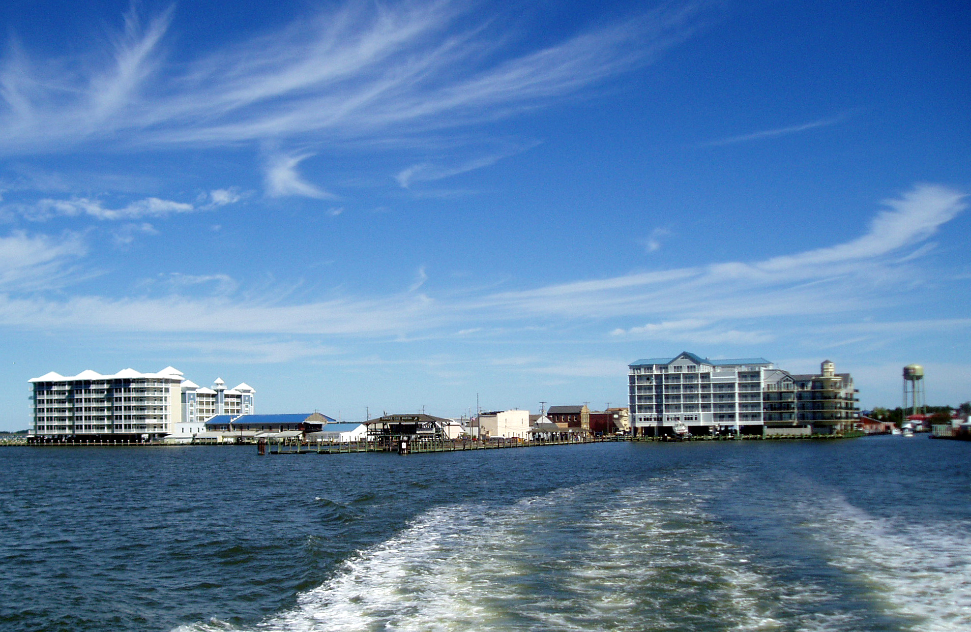
Gull's eye view of Crisfield
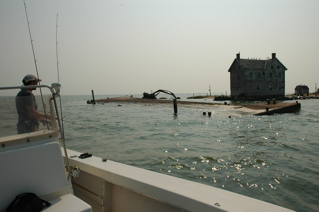
House in the middle of the Bay - literally

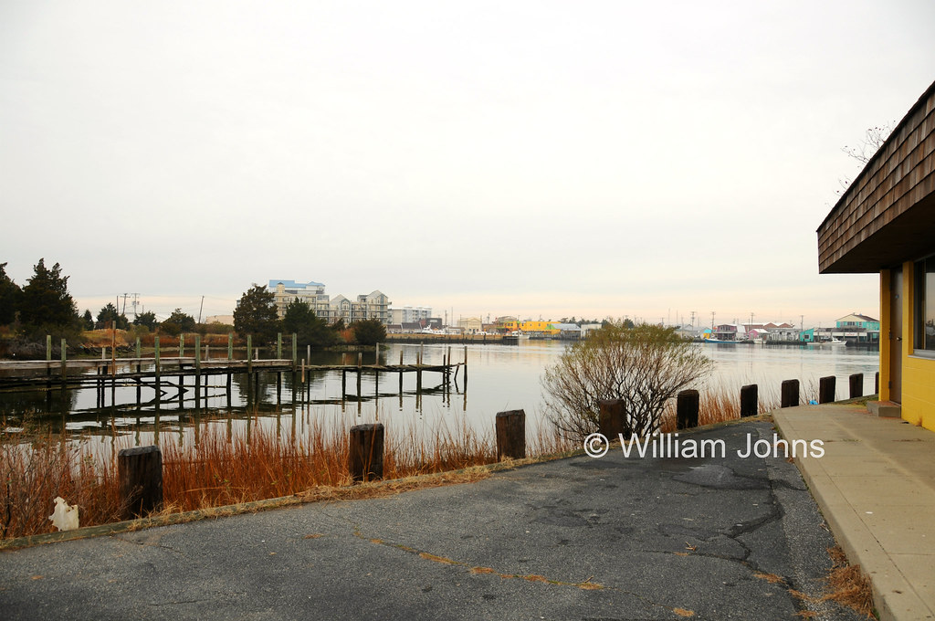
Ewell Harbor
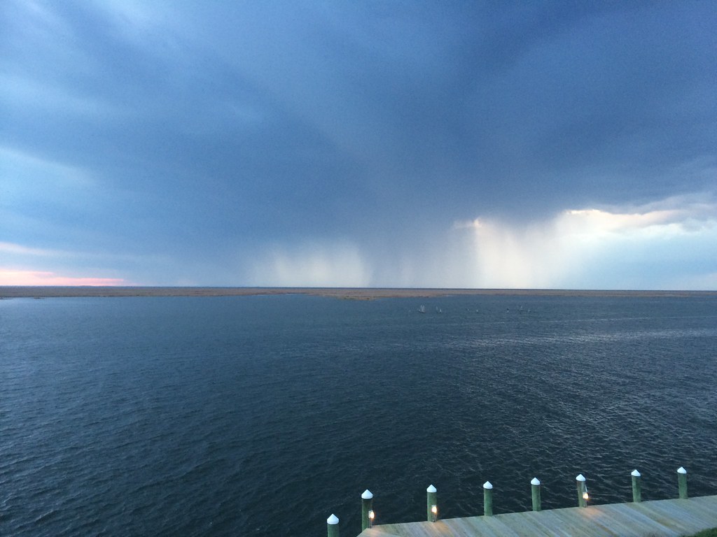
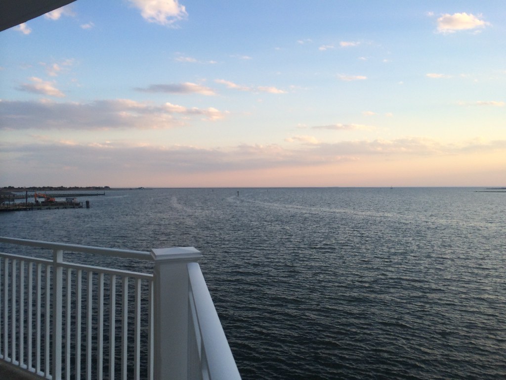
View across Somers Cove

Smith Island, Maryland

Smith Island, Maryland

Smith Island, Maryland

Crisfield Sunset

Smith Island, Md.
2014-04-26 19.39.38

Flight over reeds

Grass 2

Forested Island at Martin National Wildlife Refuge

Smith Island MD
2014-04-26 19.23.13

20170320-IMG_6273

2014-04-26 19.25.26

Crisfeild Sun Salutation

Smith Island, Md.
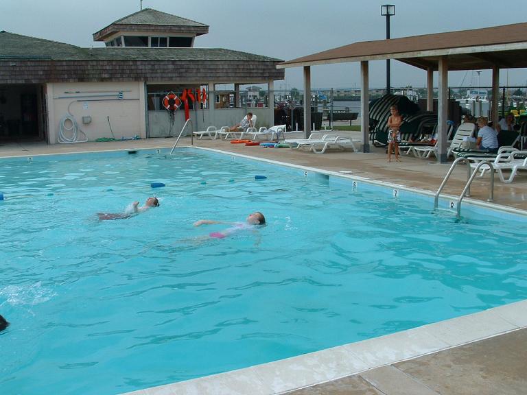
Somers Cove Swim Lessons
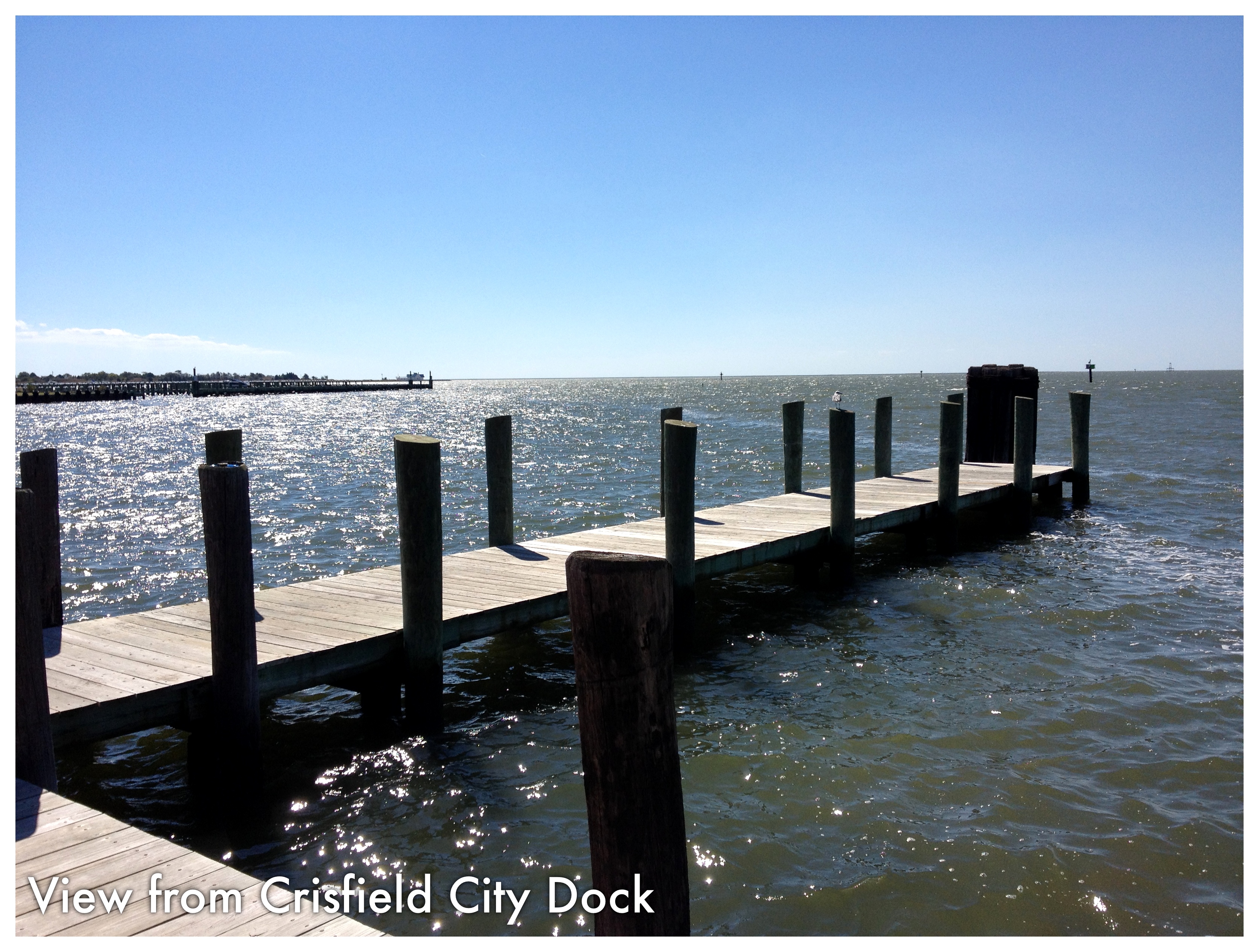
Crisfield City dock-2
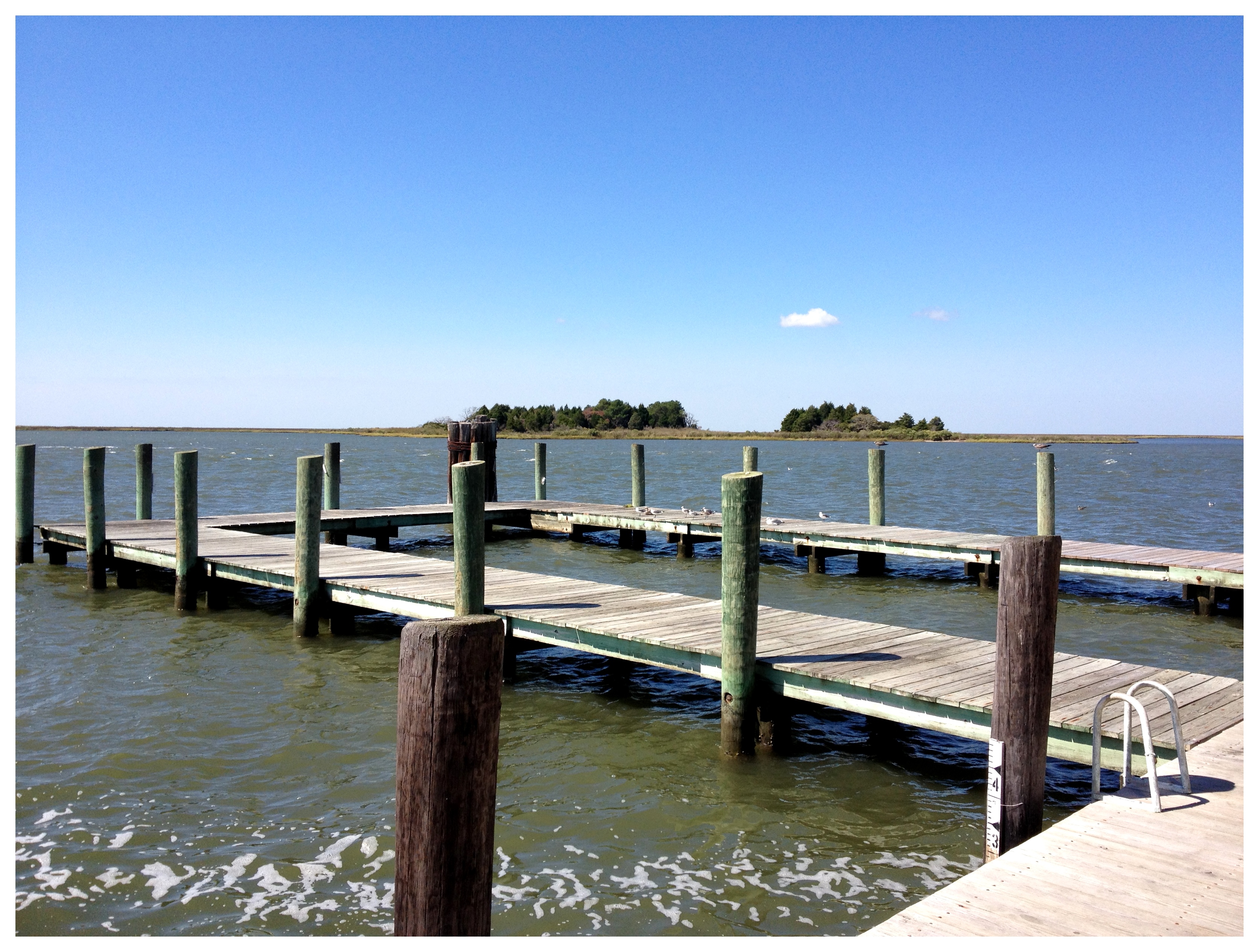
Crisfield City dock-1

Martin National Wildlife Refuge
Topographic Map of Caleb Jones Rd, Ewell, MD, USA
Find elevation by address:

Places near Caleb Jones Rd, Ewell, MD, USA:
Caleb Jones Rd, Ewell, MD, USA
Ewell
Smith Island
Marsh Rd, Ewell, MD, USA
10, Smith Island
Custom House Rd, Deal Island, MD, USA
14, Deal Island
9782 Deal Island Rd
9940 Deal Island Rd
Deal Island
10577 Harrison Point Rd
Harrison Point Road
Harrison Point Road
Chance
9, Tangier
Temple Road
10, Straits
Phillps Gunning Club Rd, Crocheron, MD, USA
Bishops Head Rd, Crocheron, MD, USA
Bishops Head Rd, Toddville, MD, USA
Recent Searches:
- Elevation of Corso Fratelli Cairoli, 35, Macerata MC, Italy
- Elevation of Tallevast Rd, Sarasota, FL, USA
- Elevation of 4th St E, Sonoma, CA, USA
- Elevation of Black Hollow Rd, Pennsdale, PA, USA
- Elevation of Oakland Ave, Williamsport, PA, USA
- Elevation of Pedrógão Grande, Portugal
- Elevation of Klee Dr, Martinsburg, WV, USA
- Elevation of Via Roma, Pieranica CR, Italy
- Elevation of Tavkvetili Mountain, Georgia
- Elevation of Hartfords Bluff Cir, Mt Pleasant, SC, USA