Elevation of Somerset County, MD, USA

Location: United States > Maryland >

Longitude: -75.853395

Latitude: 38.0862333

Elevation: 0m / 0feet

Barometric Pressure: 101KPa

Elevation Map:

elevation map of Somerset County, MD, USA

Satellite Map:

Satellite map of Somerset County, MD, USA

Related Photos:

bird duck anaspenelope
Eurasian Wigeon
maryland somerset shore eastern crisfield
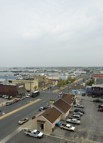
Gull's eye view of Crisfield
Trail view two
Trail view
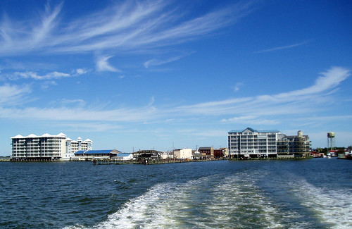
blue usa water geotagged bay maryland somerset easternshore development chesapeake crisfield delmarva
The Changing Face of Crisfield
church topv111 geotagged interestingness catholic maryland somerset explore goodfriday delmarva viacrucis
Good Friday in Westover, Maryland
city town md cove maryland municipal incorporated crisfield somers municipality
View across Somers Cove
unitedstates wetlands geography issues geocity geo:country=unitedstates camera:make=canon exif:make=canon exif:focallength=50mm geostate exif:lens=ef28135mmf3556isusm camera:model=canoneos7d exif:model=canoneos7d exif:aperture=ƒ10 exif:isospeed=200
Deal Island, Md.
plants tree forest unitedstates watershed geography terrestrial loblollypine geocity geo:country=unitedstates camera:make=canon exif:make=canon geostate exif:lens=ef28135mmf3556isusm camera:model=canoneos7d exif:model=canoneos7d exif:focallength=70mm exif:aperture=ƒ50 exif:isospeed=200
Deal Island, Md.
plants unitedstates marsh geography terrestrial marshgrass geocity geo:country=unitedstates camera:make=canon exif:make=canon geostate exif:lens=ef28135mmf3556isusm camera:model=canoneos7d exif:model=canoneos7d exif:aperture=ƒ10 exif:focallength=85mm exif:isospeed=200
Deal Island, Md.
plants unitedstates maryland easternshore wetlands marsh states geography issues terrestrial somersetcounty dealisland marshgrass geocity geo:country=unitedstates camera:make=canon exif:make=canon geostate exif:lens=ef28135mmf3556isusm camera:model=canoneos7d exif:model=canoneos7d exif:aperture=ƒ56 exif:focallength=75mm exif:isospeed=100
Deal Island, Md.
plant green bird nature grass outdoors outdoor wildlife scenic
Flight over reeds
square squareformat iphoneography instagramapp uploaded:by=instagram
Just ride.
unitedstates conservation science environment restoration partnership geocity geo:country=unitedstates exif:make=apple camera:make=apple geostate chesapeakebayprogram exif:aperture=ƒ24 exif:model=iphone5 camera:model=iphone5 exif:lens=iphone5backcamera412mmf24 exif:isospeed=50 exif:focallength=412mm
20150528-IMG_2756
sunset color clouds buildings boats island harbor pier boat dock unitedstates cloudy maryland easternshore chesapeakebay dealisland devilsisland jonmeyer delmarvapeninsula midatlanticstates nikond3x jonmeyerphotography jonmeyerphotographicart
Safe Harbor Deal Island 1
2014-04-26 19.23.24
2014-04-26 19.39.38
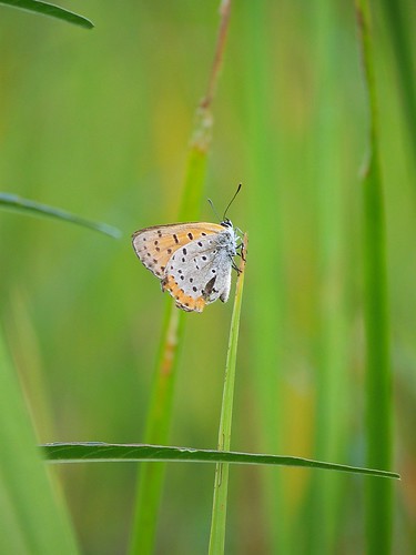
Grass 2
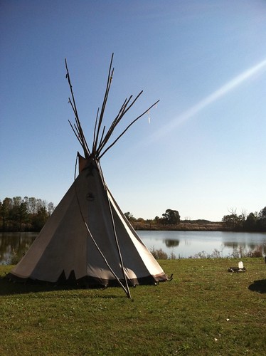
Accohannock Pow Wow 2011 - Marion Station, MD
Landing Spot
2014-04-26 19.25.26
2014-04-26 19.23.13
park island bay nikon state maryland shore eastern chesapeake crisfield janes d90 18105mm
Long Point Shadows
sunset tug crisfeild
Crisfeild Sun Salutation