Elevation of Riverview Road, Riverview Rd, Frenchtown-Rumbly, MD, USA

Location: United States > Maryland > Somerset County > 6, Fairmount > Frenchtown-rumbly >

Longitude: -75.855685

Latitude: 38.1024758

Elevation: 1m / 3feet

Barometric Pressure: 101KPa

Elevation Map:

elevation map of Riverview Road, Riverview Rd, Frenchtown-Rumbly, MD, USA

Satellite Map:

Satellite map of Riverview Road, Riverview Rd, Frenchtown-Rumbly, MD, USA

Related Photos:

crisfield
12th Street, Crisfield, MD
crisfield
Residence on Upper Main Street, Crisfield, MD
crisfield
Main Street, Crisfield, MD
crisfield
Upper Main Street, Crisfield, MD
crisfield
Corner of Somerset Avenue and Asbury Avenue, Crisfield, MD
crisfield
Upper Main Street, Crisfield, MD
crisfield
Upper Main Street, Crisfield, MD
crisfield
12th Street, Crisfield, Md.
crisfield
Asbury Avenue, Crisfield, MD
crisfield
Chesapeake Avenue, Crisfield, MD
crisfield
The Baptist Temple, Crisfield, MD
crisfield
The Baptist Temple, Crisfield, MD
The Pines Motel and Restaurant
crisfield
Wharf and Harbor, Crisfield, MD.
bird duck anaspenelope
Eurasian Wigeon
crisfield
The Marina, Crisfield, MD
crisfield
Immanuel Methodist Episcopal Church, Crisfield, Md.
crisfield
Lilyan Stratton Corbin Memorial Library, Crisfield, MD
church topv111 geotagged interestingness catholic maryland somerset explore goodfriday delmarva viacrucis
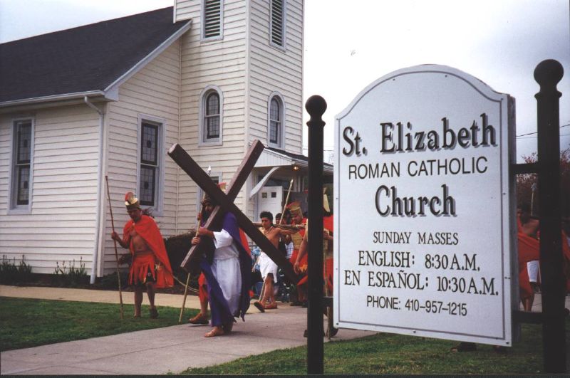
Good Friday in Westover, Maryland
crisfield
New Methodist Episcopal Church on Main Street, Crisfield, MD
crisfield
Methodist Protestant Church, Crisfield, MD
unitedstates environment geocity geo:country=unitedstates camera:make=canon exif:make=canon exif:isospeed=800 geostate exif:lens=ef2470mmf28lusm exif:focallength=70mm exif:aperture=ƒ80 camera:model=canoneos5dmarkiv exif:model=canoneos5dmarkiv
20170320-IMG_6273
maryland somerset shore eastern crisfield
Gull's eye view of Crisfield
blue usa water geotagged bay maryland somerset easternshore development chesapeake crisfield delmarva
The Changing Face of Crisfield
swim lessons
Somers Cove Swim Lessons
sunset vistalandscape maryland unitedstates hdr
Crisfield Sunset
marsh plants unitedstates marshgrass geocity geo:country=unitedstates camera:make=canon exif:make=canon geostate exif:lens=ef28135mmf3556isusm camera:model=canoneos7d exif:model=canoneos7d exif:aperture=ƒ56 exif:focallength=80mm exif:isospeed=100 plantae monocotyledons liliopsida magnoliophyta angiosperms monocots nature wildlife md maryland somersetcounty dealisland
Deal Island, Md.
unitedstates environment geocity geo:country=unitedstates camera:make=canon exif:make=canon exif:isospeed=800 geostate exif:lens=ef2470mmf28lusm exif:focallength=70mm exif:aperture=ƒ80 camera:model=canoneos5dmarkiv exif:model=canoneos5dmarkiv
Bloodsworth Island, Chesapeake Bay
unitedstates environment exif:aperture=ƒ80 geocity camera:make=canon exif:isospeed=800 geostate exif:lens=ef2470mmf28lusm exif:focallength=70mm exif:model=canoneos5dmarkiv geo:country=unitedstates exif:make=canon camera:model=canoneos5dmarkiv
Bloodsworth Island, Chesapeake Bay
accipitriformes animalia aves dealisland easternshore md maryland pandionhaliaetuscarolinensis princegeorgescounty somersetcounty uppermarlboro animals birds nature osprey seahawk wildlife unitedstates exif:model=canoneos7d camera:make=canon exif:lens=ef28135mmf3556isusm geostate camera:model=canoneos7d exif:aperture=ƒ56 exif:isospeed=200 geo:country=unitedstates geocity exif:focallength=135mm exif:make=canon
Deal Island, Md.
wetlands habitats geocity geocountry geostate md maryland somersetcounty dealisland
Phragmites in Somerset County, Md.
unitedstates environment geocity geo:country=unitedstates camera:make=canon exif:make=canon exif:isospeed=800 geostate exif:lens=ef2470mmf28lusm exif:aperture=ƒ80 exif:focallength=51mm camera:model=canoneos5dmarkiv exif:model=canoneos5dmarkiv md maryland somersetcounty smithisland
Martin National Wildlife Refuge
environment unitedstates geocity geo:country=unitedstates camera:make=canon exif:make=canon exif:isospeed=800 geostate exif:lens=ef2470mmf28lusm exif:focallength=70mm exif:aperture=ƒ80 camera:model=canoneos5dmarkiv exif:model=canoneos5dmarkiv
Chesapeake Bay mainstem
unitedstates environment geocity geo:country=unitedstates camera:make=canon exif:make=canon exif:isospeed=800 geostate exif:lens=ef2470mmf28lusm exif:focallength=42mm exif:aperture=ƒ80 camera:model=canoneos5dmarkiv exif:model=canoneos5dmarkiv md maryland somersetcounty smithisland
Martin National Wildlife Refuge
unitedstates environment geocity geo:country=unitedstates camera:make=canon exif:make=canon geostate exif:lens=ef70200mmf28lusm exif:aperture=ƒ56 exif:isospeed=1600 exif:focallength=125mm camera:model=canoneos5dmarkiv exif:model=canoneos5dmarkiv
Deal Island in Somerset County, Md.
Success!
sunset tug crisfeild
Crisfeild Sun Salutation
environment unitedstates geocity geo:country=unitedstates camera:make=canon exif:make=canon exif:isospeed=800 geostate exif:lens=ef2470mmf28lusm exif:focallength=24mm exif:aperture=ƒ80 camera:model=canoneos5dmarkiv exif:model=canoneos5dmarkiv md maryland somersetcounty smithisland
Martin National Wildlife Refuge
wetlands unitedstates geocity geo:country=unitedstates camera:make=canon exif:make=canon exif:focallength=50mm geostate exif:lens=ef28135mmf3556isusm camera:model=canoneos7d exif:model=canoneos7d exif:aperture=ƒ10 exif:isospeed=200 habitats md maryland somersetcounty dealisland
Deal Island, Md.
sunset color clouds buildings boats island harbor pier boat dock unitedstates cloudy maryland easternshore chesapeakebay dealisland devilsisland jonmeyer delmarvapeninsula midatlanticstates nikond3x jonmeyerphotography jonmeyerphotographicart
Safe Harbor Deal Island 1
park island bay nikon state maryland shore eastern chesapeake crisfield janes d90 18105mm
Long Point Shadows
bridge maryland easternshore chesapeake somersetcounty
Deal Island Bridge