Elevation of Charles Cannon Rd, Marion Station, MD, USA
Location: United States > Maryland > Somerset County > 8, Lawsons > Marion Station >
Longitude: -75.771835
Latitude: 38.03989
Elevation: 2m / 7feet
Barometric Pressure: 101KPa
Elevation Map:
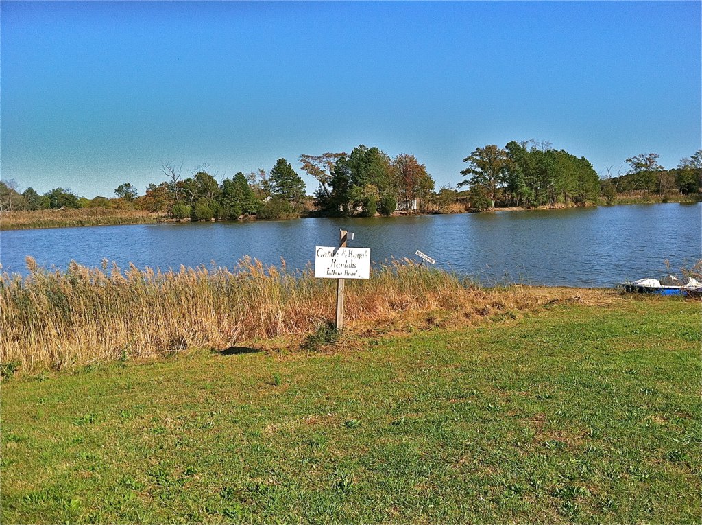
Satellite Map:
Related Photos:
The Changing Face of Crisfield

Good Friday in Westover, Maryland
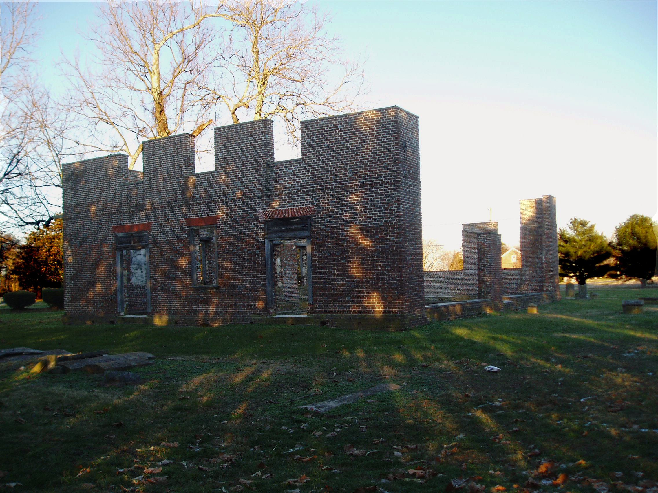
Coventry Parish Church ruins
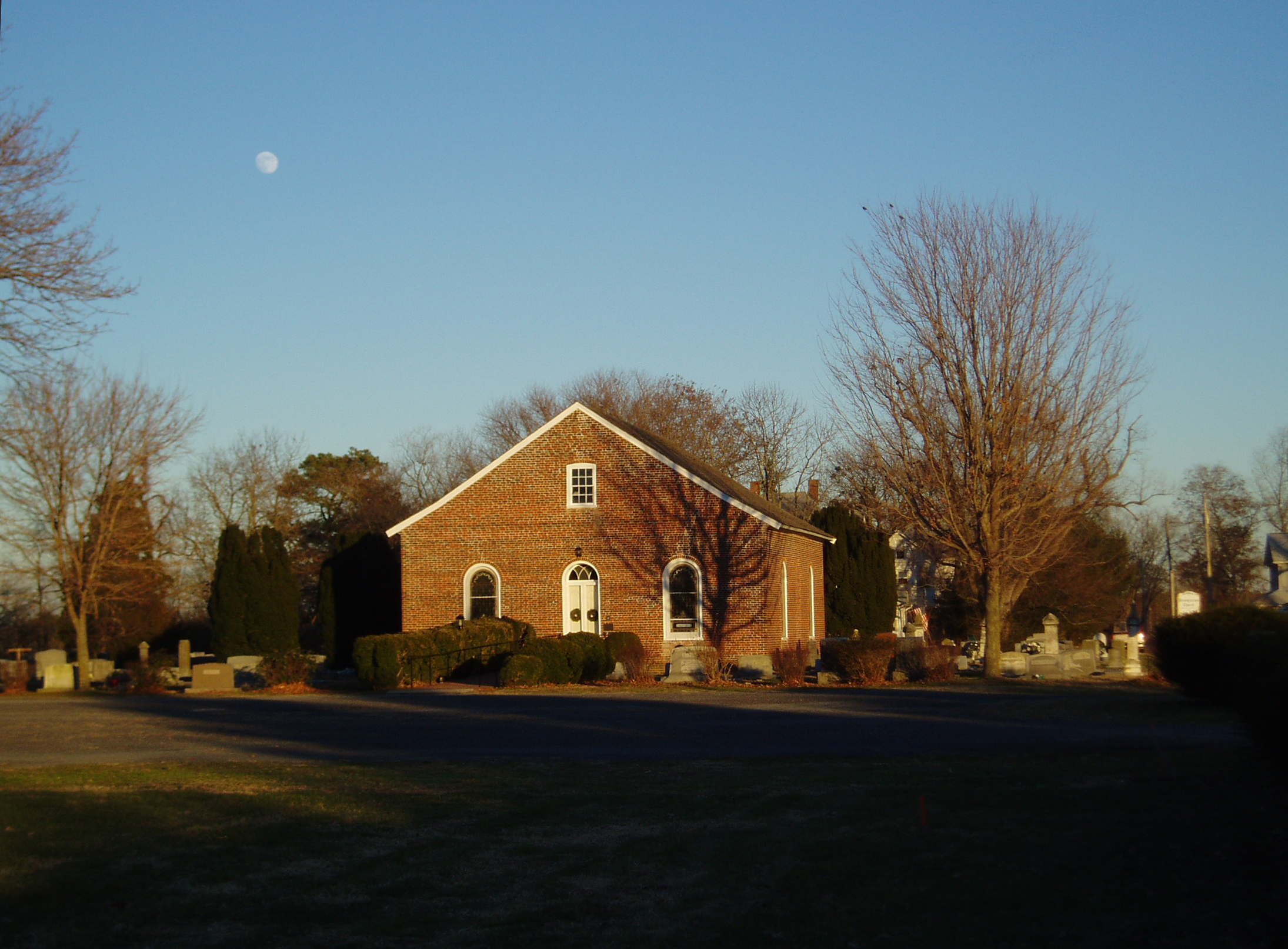
Rehobeth Presbyterian Church, 1706

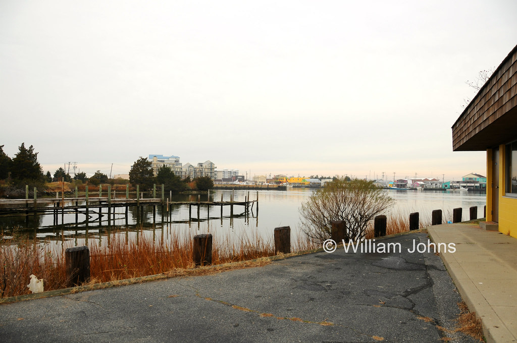
Gull's eye view of Crisfield
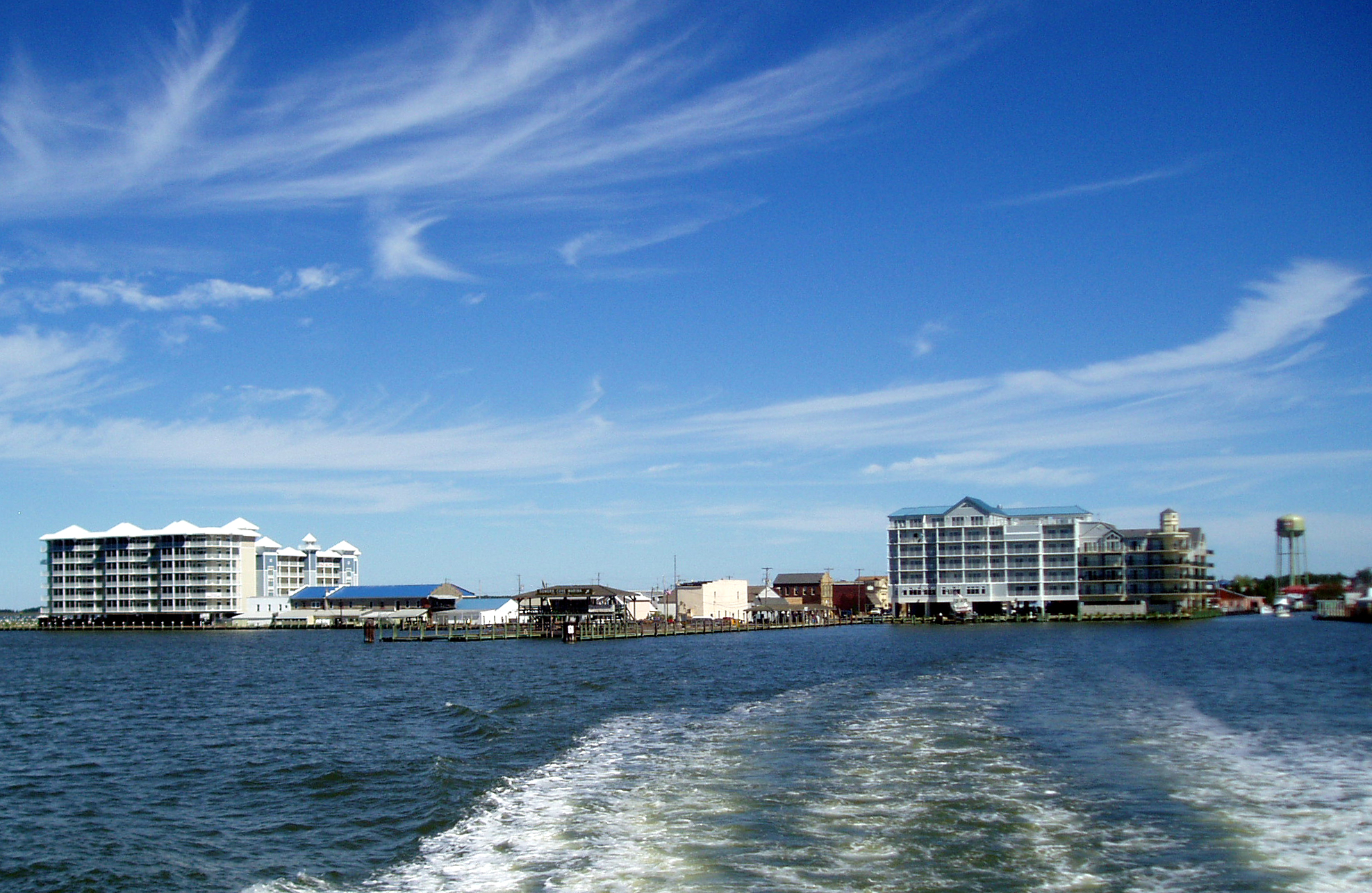
View across Somers Cove

My Home This Is

Landing Spot

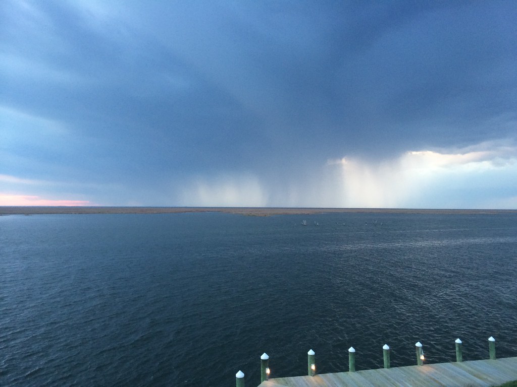
2014-04-26 19.23.24
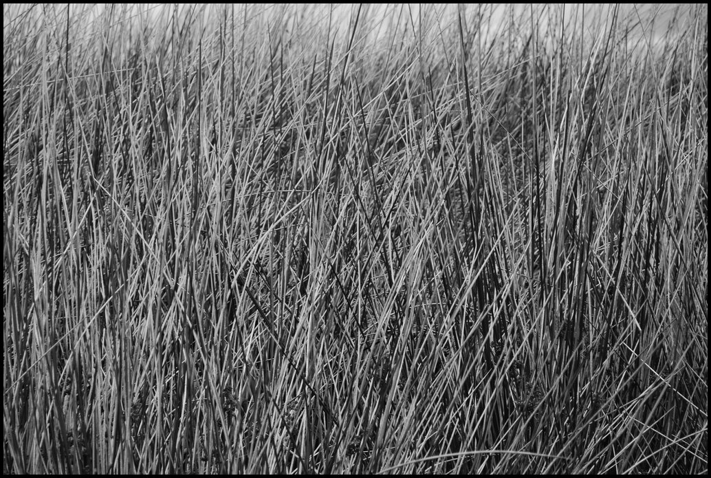
Grass 2
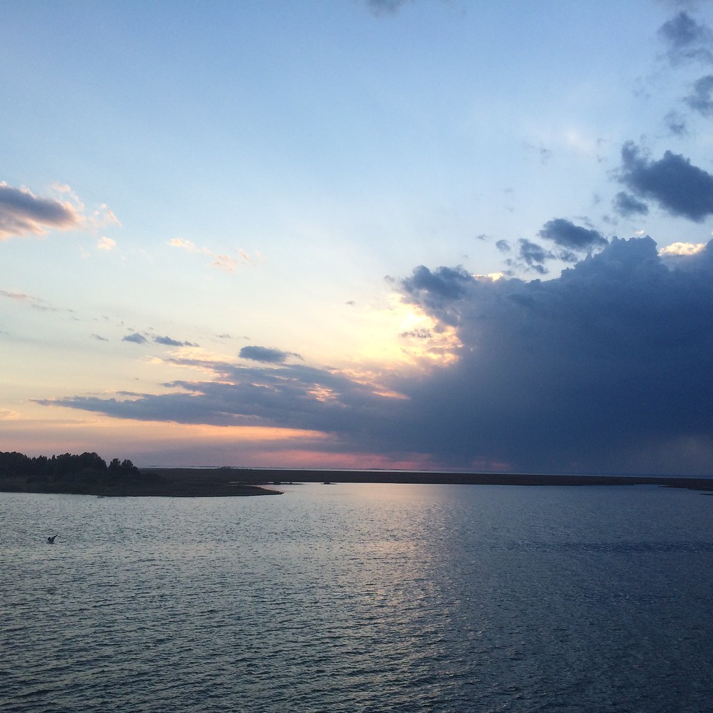
2014-04-26 19.39.38

Accohannock Pow Wow 2011 - Marion Station, MD

Flight over reeds
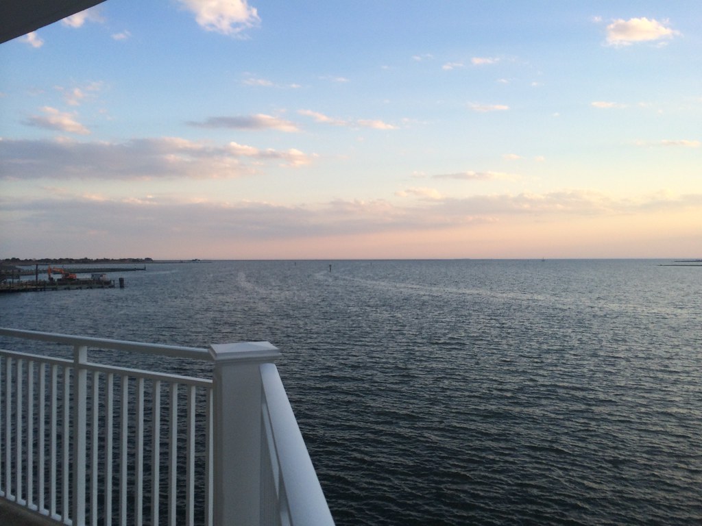
2014-04-26 19.25.26
2014-04-26 19.23.13
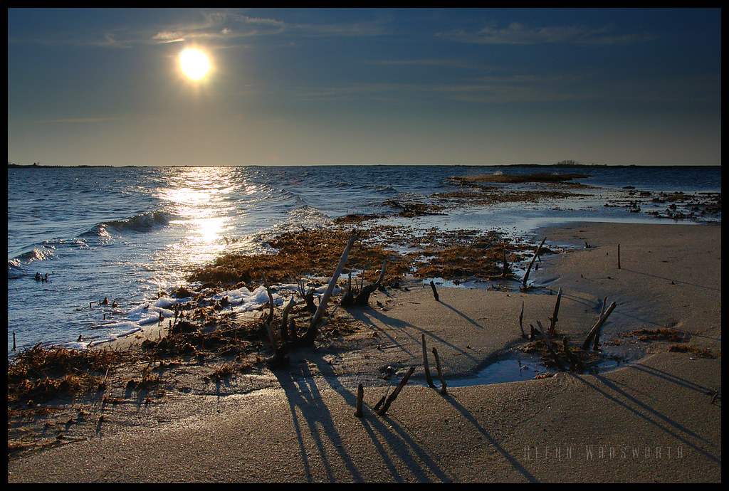
Long Point Shadows
Saxis Virginia
Crisfeild Sun Salutation
Crisfield City dock-2
Saxis Virginia
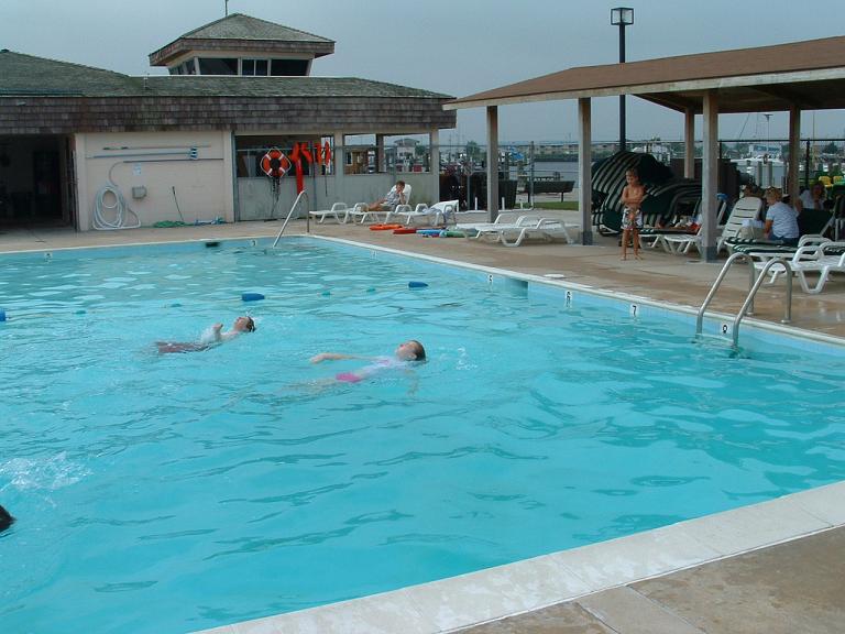
Somers Cove Swim Lessons
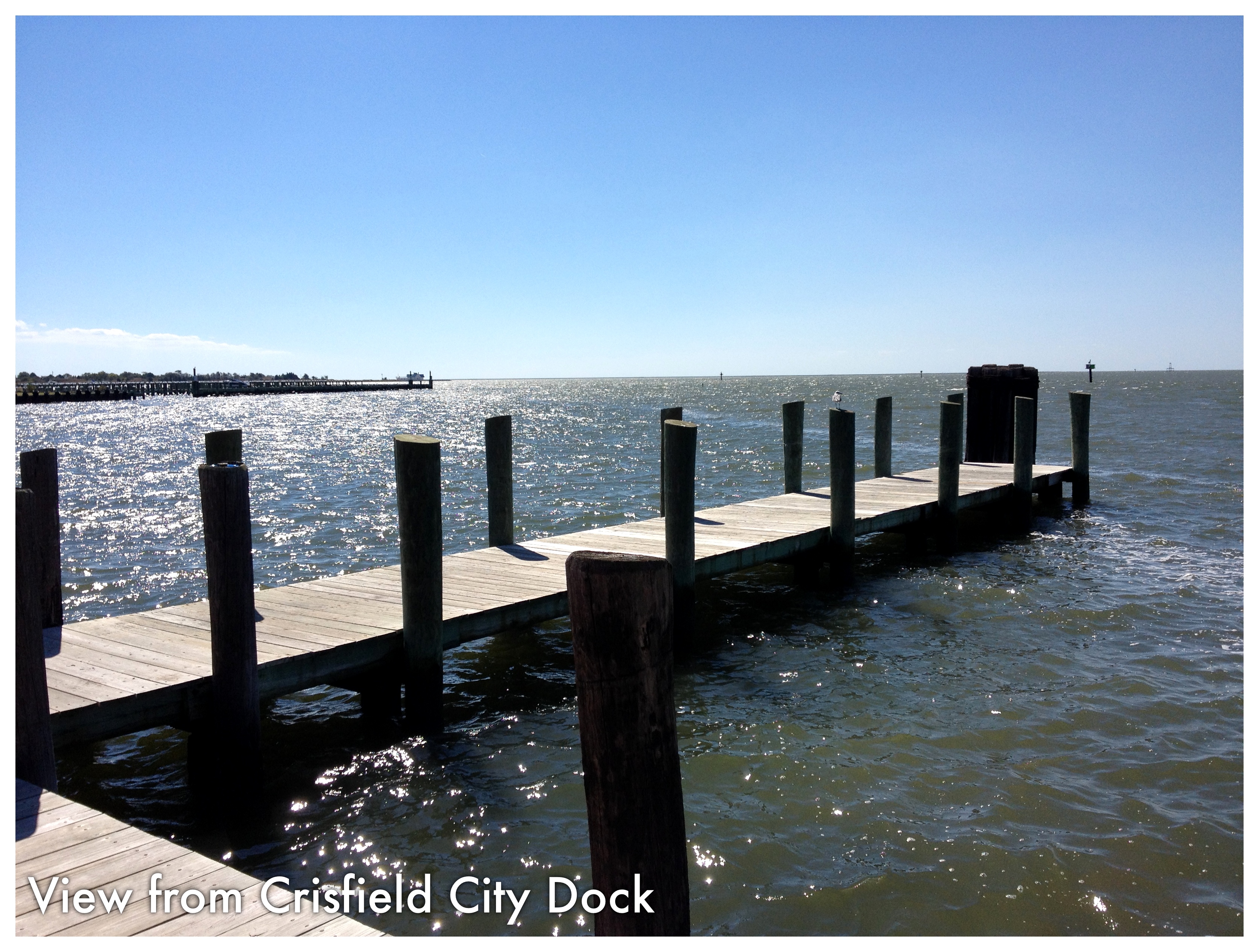
Crisfield City dock-1
2014-04-26 10.59.19
Accohannock Pow Wow 2011 - Marion Station, MD

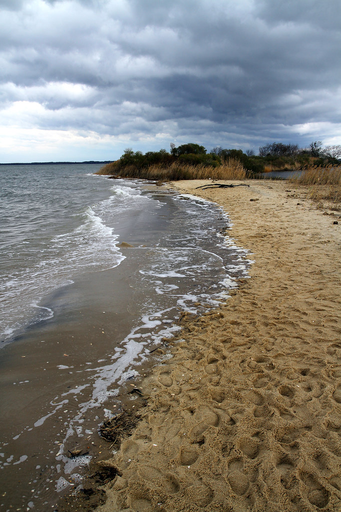
Beach. Bum.
Topographic Map of Charles Cannon Rd, Marion Station, MD, USA
Find elevation by address:

Places near Charles Cannon Rd, Marion Station, MD, USA:
Marion Station
5838 Crisfield Hwy
28177 Crisfield Marion Rd
5370 Bivens Rd
5631 Cedar Landing Dr
28940 Hudson Corner Rd
28551 L Q Powell Rd
28176 Holland Crossing Rd
Landon Store Rd, Marion Station, MD, USA
28851 L Q Powell Rd
Evans Drive
27729 Holland Crossing Rd
5019 Annemessex Rd
26067 Lawson Barnes Rd
26067 Lawson Barnes Rd
8, Lawsons
8184 River Rd
Fairmount
Mariners Rd, Crisfield, MD, USA
Cornstack Rd, Marion Station, MD, USA
Recent Searches:
- Elevation of Corso Fratelli Cairoli, 35, Macerata MC, Italy
- Elevation of Tallevast Rd, Sarasota, FL, USA
- Elevation of 4th St E, Sonoma, CA, USA
- Elevation of Black Hollow Rd, Pennsdale, PA, USA
- Elevation of Oakland Ave, Williamsport, PA, USA
- Elevation of Pedrógão Grande, Portugal
- Elevation of Klee Dr, Martinsburg, WV, USA
- Elevation of Via Roma, Pieranica CR, Italy
- Elevation of Tavkvetili Mountain, Georgia
- Elevation of Hartfords Bluff Cir, Mt Pleasant, SC, USA