Elevation of 2, St. Peters, 2, St Peters, MD, USA
Location: United States > Maryland > Somerset County >
Longitude: -75.818531
Latitude: 38.1751962
Elevation: 1m / 3feet
Barometric Pressure: 101KPa
Elevation Map:
Satellite Map:
Related Photos:

Storm and Mist
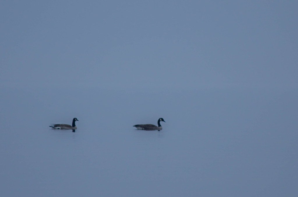
'Ats a lot of blue, eh?

Tropical Kingbird
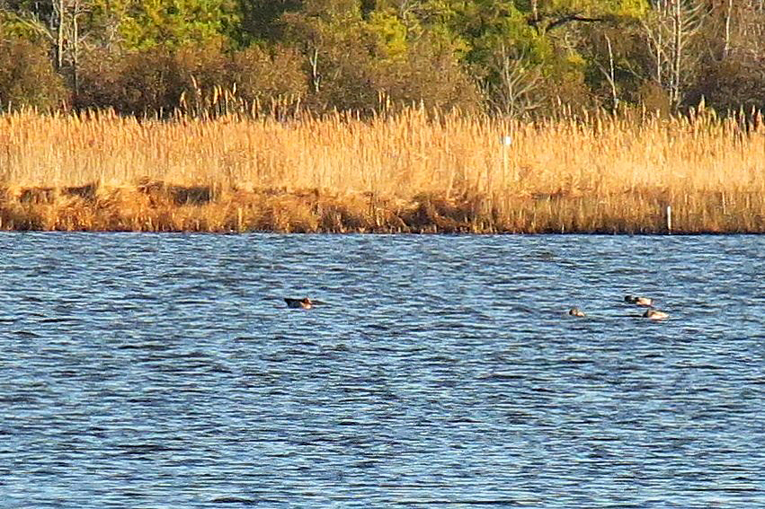
Eurasian Wigeon

Good Friday in Westover, Maryland

Trail view two

Eternal View

Trail view

Deal Island, Md.

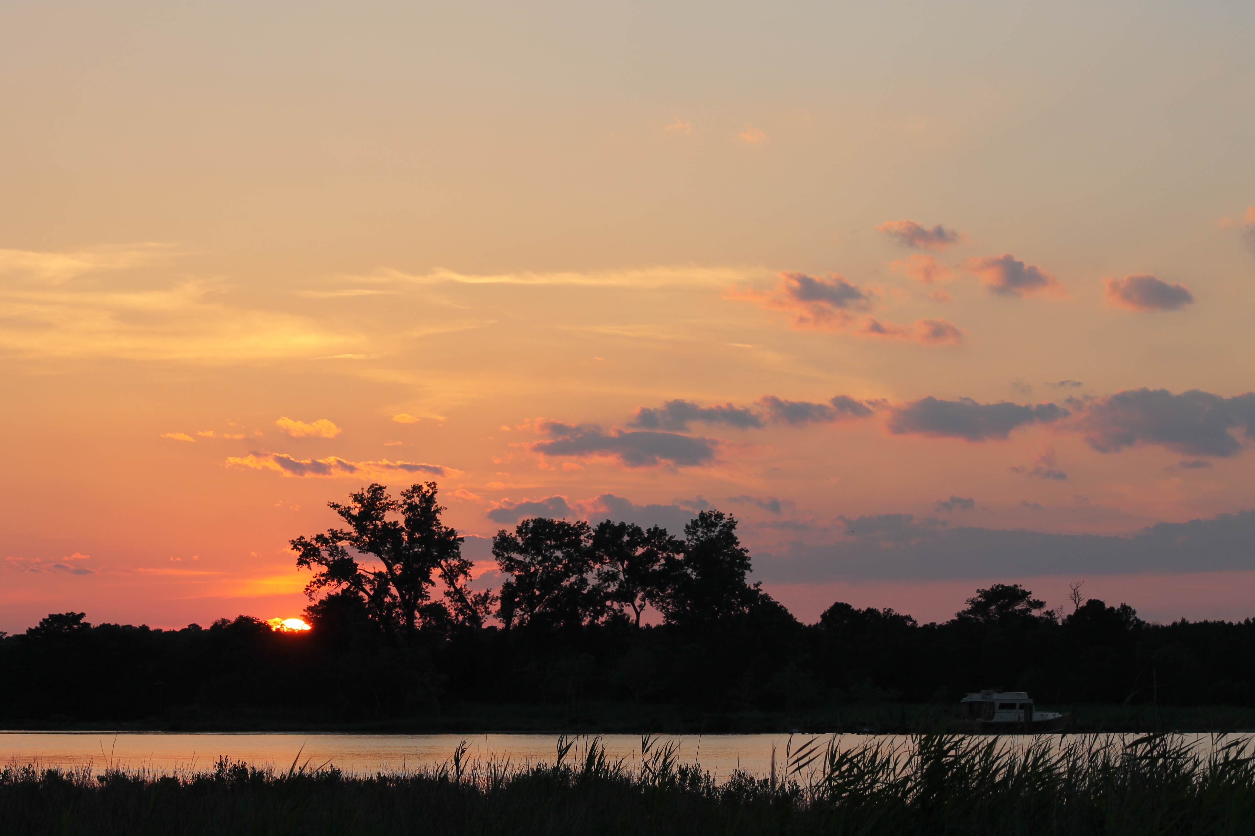
Sunset 4

Sunset 1

Summer Dayz

#sunset

#3699 - silo_and_barn

Sunset 2

Sunset 5
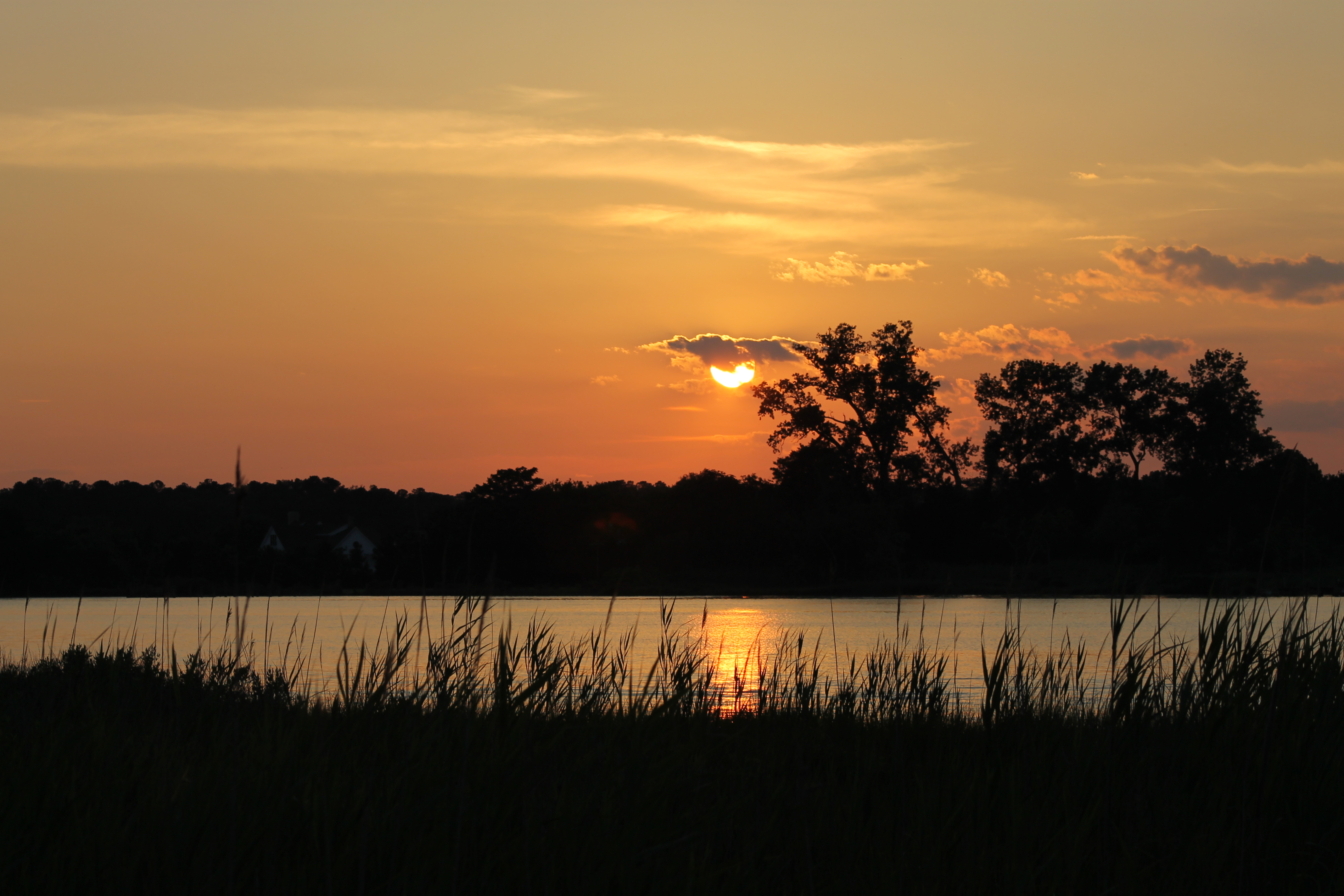
Sunset 3
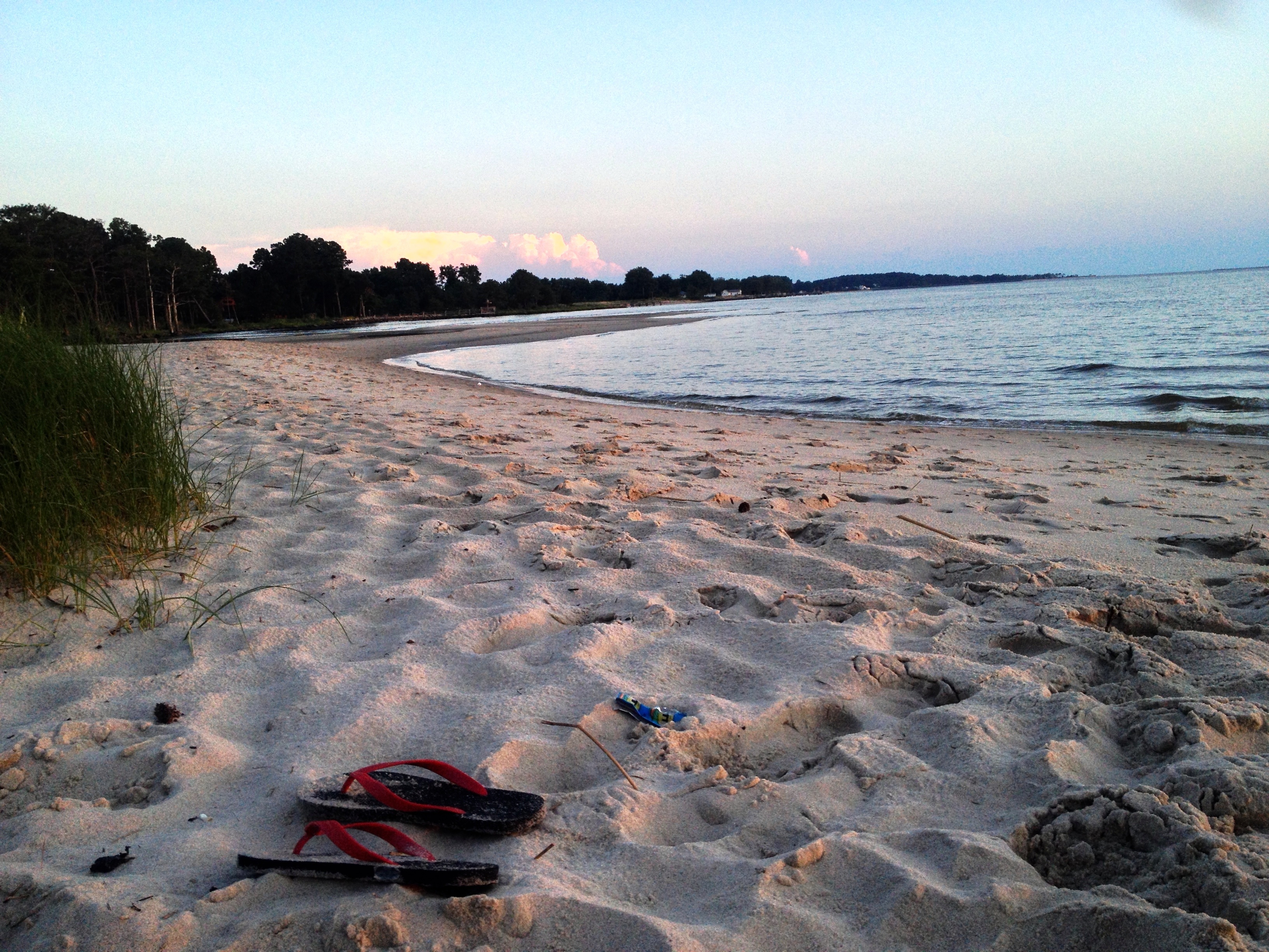
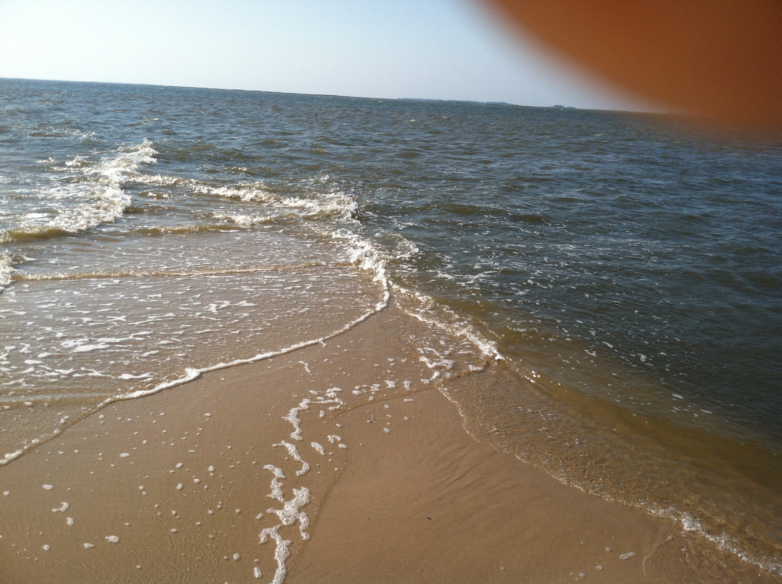
chesapeake bay beach

summer dayz

Deal Island, Md.

Deal Island, Md.

Deal Island, Md.
Sunset 6

Roaring Point Sept 22 2012 040

Landing Spot

Just ride.
Roaring Point Sept 22 2012 037

20150528-IMG_2756

Safe Harbor Deal Island 1
Topographic Map of 2, St. Peters, 2, St Peters, MD, USA
Find elevation by address:

Places in 2, St. Peters, 2, St Peters, MD, USA:
Places near 2, St. Peters, 2, St Peters, MD, USA:
Oriole Rd, Princess Anne, MD, USA
Deal Island Rd, Princess Anne, MD, USA
26599 Mt Vernon Rd
Mount Vernon
Dames Quarter
Steele Dr, Tyaskin, MD, USA
5, Mount Vernon
1, West Princess Anne
Whitehaven
Clara Rd, Tyaskin, MD, USA
2916 Whitehaven Rd
Tyaskin, MD, USA
Nanticoke Rd, Nanticoke, MD, USA
Polks Rd, Princess Anne, MD, USA
11953 Robyn Ln
10789 Stewart Neck Rd
11014 Stewart Neck Rd
Whitehaven Rd, Tyaskin, MD, USA
Nanticoke Dr, Nanticoke, MD, USA
20399 Chesapeake Dr
Recent Searches:
- Elevation of Corso Fratelli Cairoli, 35, Macerata MC, Italy
- Elevation of Tallevast Rd, Sarasota, FL, USA
- Elevation of 4th St E, Sonoma, CA, USA
- Elevation of Black Hollow Rd, Pennsdale, PA, USA
- Elevation of Oakland Ave, Williamsport, PA, USA
- Elevation of Pedrógão Grande, Portugal
- Elevation of Klee Dr, Martinsburg, WV, USA
- Elevation of Via Roma, Pieranica CR, Italy
- Elevation of Tavkvetili Mountain, Georgia
- Elevation of Hartfords Bluff Cir, Mt Pleasant, SC, USA