Elevation of Mt Vernon Rd, Princess Anne, MD, USA

Location: United States > Maryland > Somerset County > 5, Mount Vernon > Mount Vernon >

Longitude: -75.829564

Latitude: 38.242638

Elevation: 1m / 3feet

Barometric Pressure: 101KPa

Elevation Map:

elevation map of Mt Vernon Rd, Princess Anne, MD, USA

Satellite Map:

Satellite map of Mt Vernon Rd, Princess Anne, MD, USA

Related Photos:

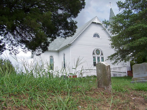
church cemetery graveyard maryland easternshore bivalve
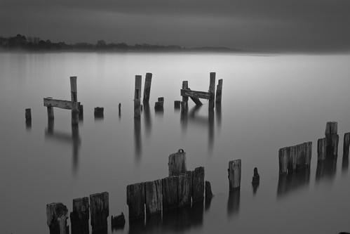
Eternal View
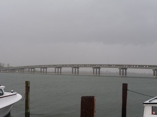
longexposure mist storm water misty fog river bay pier md decay foggy maryland stormy easternshore chesapeakebay nanticoke delmarva easternshoreofmaryland nanticokeriver decayedpier coveroad
Storm and Mist
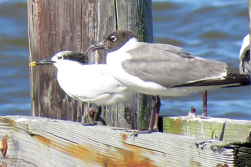
bird leucophaeusatricilla thalasseussandvicensis dock bay choate americanbirdnames
Sandwich Tern
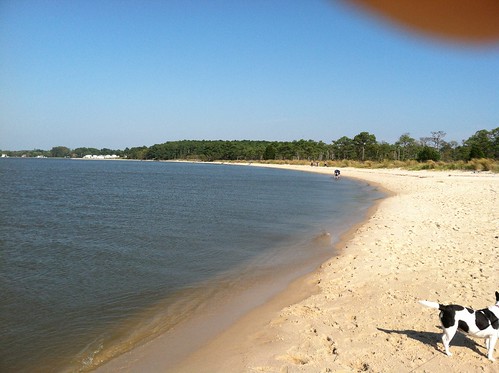
morning blue mist bird birds misty fog river bay early geese peace wildlife peaceful canadian estuary watershed canadiangeese chesapeake chesapeakebay nanticoke earlymorningmist nanticokeriver
'Ats a lot of blue, eh?
maryland
Tropical Kingbird
Trail view
Success!
chesapeakebayprogram environment unitedstates camera:model=canoneos5dmarkiv exif:model=canoneos5dmarkiv camera:make=canon geocity geostate exif:focallength=70mm exif:lens=ef2470mmf28lusm exif:aperture=ƒ56 exif:isospeed=200 geo:country=unitedstates exif:make=canon
Deal Island, Md.
landscape easternshore whitehaven gh1 wicomicoriver lumix14mm140mm
Whitehaven, Maryland, 2011
Sunset 1
2012 sept22 roaringpoint cambridgesept222012
Roaring Point Sept 22 2012 040
sunset beach chesapeake
Sun on the water
Sunset 4
Sunset 5
transportation aerial unitedstates geocity camera:make=nikon exif:aperture=ƒ63 exif:make=nikon exif:isospeed=800 exif:focallength=62mm exif:model=nikond60 camera:model=nikond60 geo:country=unitedstates geostate exif:lens=5502000mmf4056
Quantico Creek in Wicomico County, Md.
photostream
Summer Dayz
liliopsida magnoliophyta monocots monocotyledons plantae angiosperms marsh marshgrass nature plants wildlife unitedstates exif:model=canoneos7d camera:make=canon exif:lens=ef28135mmf3556isusm exif:focallength=80mm camera:model=canoneos7d exif:aperture=ƒ56 geo:country=unitedstates geostate geocity exif:isospeed=100 exif:make=canon
Deal Island, Md.
transportation aerial unitedstates geocity camera:make=nikon exif:aperture=ƒ63 exif:make=nikon exif:isospeed=800 geo:country=unitedstates exif:model=nikond60 exif:focallength=68mm geostate camera:model=nikond60 exif:lens=5502000mmf4056
Wicomico River
2012 sept22 roaringpoint cambridgesept222012
Roaring Point Sept 22 2012 038
photostream
summer dayz
photos email
20111102 Ride from Vienna to Elliot Island
chesapeakebayprogram environment unitedstates exif:aperture=ƒ80 exif:model=canoneos5dmarkiv camera:make=canon geocity geostate exif:focallength=70mm exif:lens=ef2470mmf28lusm exif:isospeed=800 geo:country=unitedstates camera:model=canoneos5dmarkiv exif:make=canon
Bloodsworth Island, Chesapeake Bay
bridge maryland easternshore chesapeake somersetcounty
Deal Island Bridge
chesapeakebayprogram environment unitedstates exif:aperture=ƒ80 exif:model=canoneos5dmarkiv camera:make=canon geocity geostate exif:focallength=70mm exif:lens=ef2470mmf28lusm exif:isospeed=800 geo:country=unitedstates camera:model=canoneos5dmarkiv exif:make=canon
Bloodsworth Island, Chesapeake Bay
landscape easternshore sociallandscape
Allen, Maryland, 2008
2012 sept22 roaringpoint cambridgesept222012
Roaring Point Sept 22 2012 005
2012 sept22 roaringpoint cambridgesept222012
Roaring Point Sept 22 2012 015