Elevation of Deal Island Rd, Deal Island Historic District, MD, USA

Location: United States > Maryland > Somerset County > 14, Deal Island > Deal Island >

Longitude: -75.945094

Latitude: 38.152588

Elevation: 1m / 3feet

Barometric Pressure: 101KPa

Elevation Map:

elevation map of Deal Island Rd, Deal Island Historic District, MD, USA

Satellite Map:

Satellite map of Deal Island Rd, Deal Island Historic District, MD, USA

Related Photos:

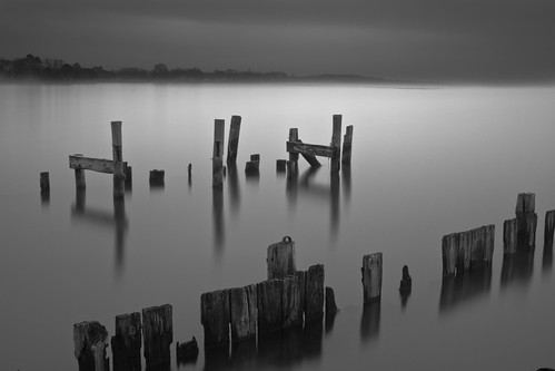
longexposure mist storm water misty fog river bay pier md decay foggy maryland stormy easternshore chesapeakebay nanticoke delmarva easternshoreofmaryland nanticokeriver decayedpier coveroad
Storm and Mist
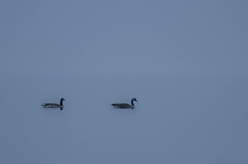
morning blue mist bird birds misty fog river bay early geese peace wildlife peaceful canadian estuary watershed canadiangeese chesapeake chesapeakebay nanticoke earlymorningmist nanticokeriver
'Ats a lot of blue, eh?
Roaring Point, Maryland
Main Street, Nanticoke, MD
Roaring Point, Maryland
bird duck anaspenelope
Eurasian Wigeon
unitedstates environment geocity geo:country=unitedstates camera:make=canon exif:make=canon geostate exif:lens=ef100400mmf4556lisusm exif:aperture=ƒ80 exif:isospeed=400 exif:focallength=210mm camera:model=canoneos5dmarkiv exif:model=canoneos5dmarkiv teachersontheestuarytote md maryland easternshore
Marsh in Dorchester County, Md.
unitedstates environment geocity geo:country=unitedstates camera:make=canon exif:make=canon exif:isospeed=800 geostate exif:lens=ef2470mmf28lusm exif:focallength=70mm exif:aperture=ƒ80 camera:model=canoneos5dmarkiv exif:model=canoneos5dmarkiv
Bloodsworth Island, Chesapeake Bay
unitedstates environment exif:aperture=ƒ80 geocity camera:make=canon exif:isospeed=800 geostate exif:lens=ef2470mmf28lusm exif:focallength=70mm exif:model=canoneos5dmarkiv geo:country=unitedstates exif:make=canon camera:model=canoneos5dmarkiv
Bloodsworth Island, Chesapeake Bay
accipitriformes animalia aves dealisland easternshore md maryland pandionhaliaetuscarolinensis princegeorgescounty somersetcounty uppermarlboro animals birds nature osprey seahawk wildlife unitedstates exif:model=canoneos7d camera:make=canon exif:lens=ef28135mmf3556isusm geostate camera:model=canoneos7d exif:aperture=ƒ56 exif:isospeed=200 geo:country=unitedstates geocity exif:focallength=135mm exif:make=canon
Deal Island, Md.
wetlands habitats geocity geocountry geostate md maryland somersetcounty dealisland
Phragmites in Somerset County, Md.
unitedstates environment geocity geo:country=unitedstates camera:make=canon exif:make=canon exif:isospeed=800 geostate exif:lens=ef2470mmf28lusm exif:aperture=ƒ80 exif:focallength=51mm camera:model=canoneos5dmarkiv exif:model=canoneos5dmarkiv md maryland somersetcounty smithisland
Martin National Wildlife Refuge
environment unitedstates geocity geo:country=unitedstates camera:make=canon exif:make=canon exif:isospeed=800 geostate exif:lens=ef2470mmf28lusm exif:focallength=70mm exif:aperture=ƒ80 camera:model=canoneos5dmarkiv exif:model=canoneos5dmarkiv
Chesapeake Bay mainstem
unitedstates environment geocity geo:country=unitedstates camera:make=canon exif:make=canon exif:isospeed=800 geostate exif:lens=ef2470mmf28lusm exif:focallength=42mm exif:aperture=ƒ80 camera:model=canoneos5dmarkiv exif:model=canoneos5dmarkiv md maryland somersetcounty smithisland
Martin National Wildlife Refuge
unitedstates environment geocity geo:country=unitedstates camera:make=canon exif:make=canon exif:isospeed=800 geostate exif:lens=ef2470mmf28lusm exif:focallength=70mm exif:aperture=ƒ80 camera:model=canoneos5dmarkiv exif:model=canoneos5dmarkiv
20170320-IMG_6273
unitedstates environment geocity geo:country=unitedstates camera:make=canon exif:make=canon geostate exif:lens=ef70200mmf28lusm exif:aperture=ƒ56 exif:isospeed=1600 exif:focallength=125mm camera:model=canoneos5dmarkiv exif:model=canoneos5dmarkiv
Deal Island in Somerset County, Md.
environment unitedstates geocity geo:country=unitedstates camera:make=canon exif:make=canon exif:isospeed=800 geostate exif:lens=ef2470mmf28lusm exif:focallength=24mm exif:aperture=ƒ80 camera:model=canoneos5dmarkiv exif:model=canoneos5dmarkiv md maryland somersetcounty smithisland
Martin National Wildlife Refuge
wetlands unitedstates geocity geo:country=unitedstates camera:make=canon exif:make=canon exif:focallength=50mm geostate exif:lens=ef28135mmf3556isusm camera:model=canoneos7d exif:model=canoneos7d exif:aperture=ƒ10 exif:isospeed=200 habitats md maryland somersetcounty dealisland easternshore
Deal Island, Md.
unitedstates environment geo:country=unitedstates camera:make=canon geostate exif:focallength=170mm exif:aperture=ƒ56 exif:isospeed=100 exif:model=canoneos5dmarkiv geocity exif:make=canon exif:lens=ef70200mmf28lusm camera:model=canoneos5dmarkiv md maryland dealisland somersetcounty
Deal Island, Md.
photostream
Summer Dayz
photostream
chesapeake bay beach
nanticoke nanticokeflowerpurpleflowerroaringpoint
Nanticoke_area-265.jpg
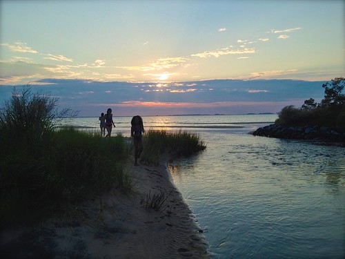
sunset water nanticoke roaringpoint
Roaring Point 1
photostream
summer dayz
chesapeakebayprogram environment unitedstates camera:model=canoneos5dmarkiv exif:isospeed=1600 camera:make=canon geocity geostate exif:focallength=32mm exif:lens=ef2470mmf28lusm exif:aperture=ƒ56 geo:country=unitedstates exif:model=canoneos5dmarkiv exif:make=canon
Dorchester County, Md.
Success!
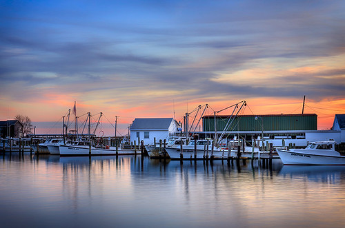
sunset color clouds buildings boats island harbor pier boat dock unitedstates cloudy maryland easternshore chesapeakebay dealisland devilsisland jonmeyer delmarvapeninsula midatlanticstates nikond3x jonmeyerphotography jonmeyerphotographicart
Safe Harbor Deal Island 1