Elevation of Couldrey Ridge, East Kootenay A, BC V0B, Canada
Location: Canada > British Columbia > Grasmere >
Longitude: -114.73111
Latitude: 49.0061111
Elevation: 2198m / 7211feet
Barometric Pressure: 78KPa
Elevation Map:
Satellite Map:
Related Photos:
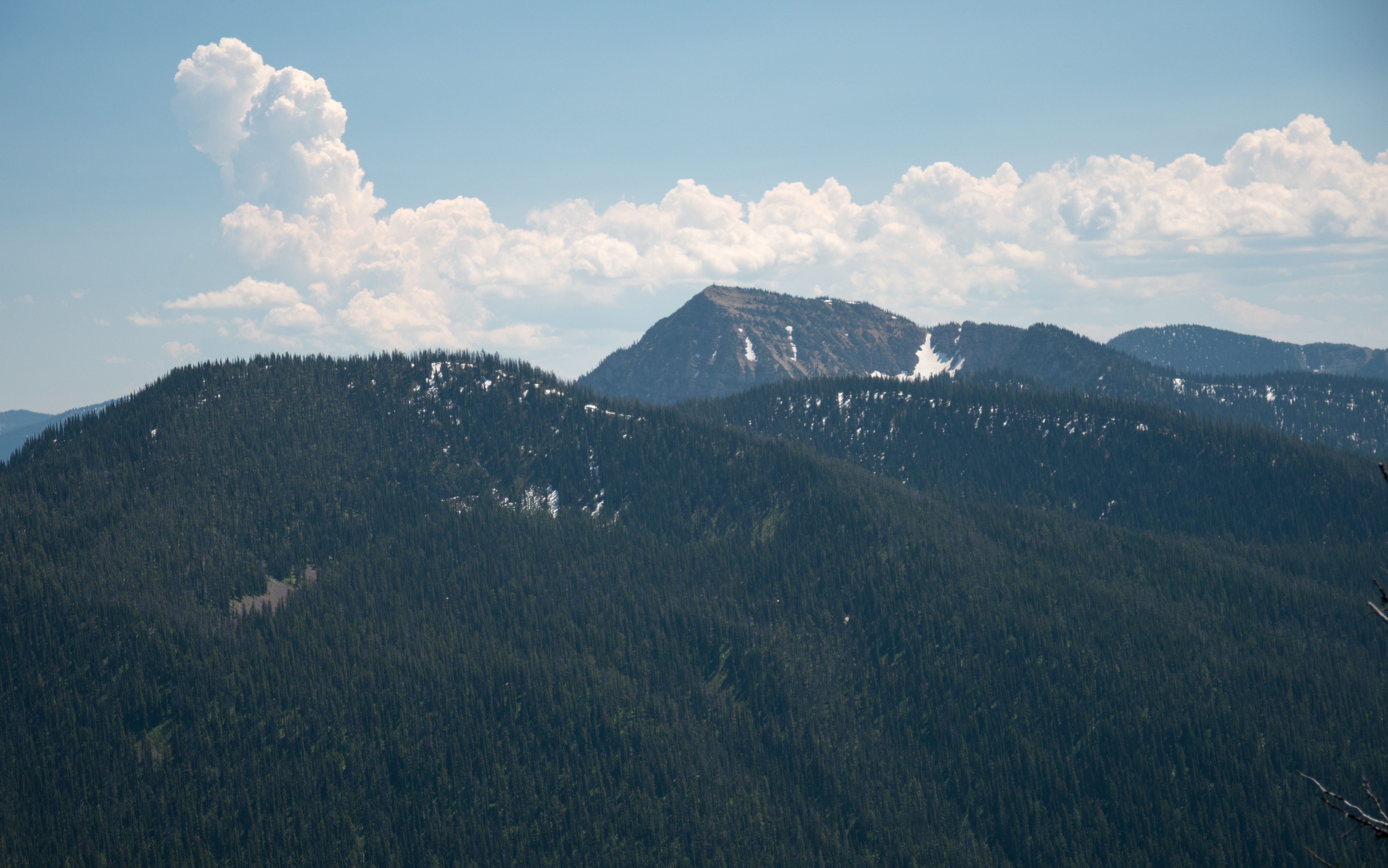
A hazy afternoon view of Mt. Wam Lookout from the Pacific Northwest Trail in the Ten Lakes Scenic Area, Kootenai National Forest in Northwest Montana
Topographic Map of Couldrey Ridge, East Kootenay A, BC V0B, Canada
Find elevation by address:

Places near Couldrey Ridge, East Kootenay A, BC V0B, Canada:
Review Mountain North
Tuchuck Mountain
Mount Wam
Review Mountain South
Stahl Peak
Tuchuck Campground
Mount Hefty
Little Therriault Lake Campground
Saint Clair Peak
Galton Range
Mount Doupe
Poorman Mountain
490 Griffith Creek Rd
Cleft Rock Mountain
Eureka, MT, USA
Ksanka Peak
Independence Peak
507 Vukonich Ln
2480 Grave Creek Rd
Wedge Mountain
Recent Searches:
- Elevation of Corso Fratelli Cairoli, 35, Macerata MC, Italy
- Elevation of Tallevast Rd, Sarasota, FL, USA
- Elevation of 4th St E, Sonoma, CA, USA
- Elevation of Black Hollow Rd, Pennsdale, PA, USA
- Elevation of Oakland Ave, Williamsport, PA, USA
- Elevation of Pedrógão Grande, Portugal
- Elevation of Klee Dr, Martinsburg, WV, USA
- Elevation of Via Roma, Pieranica CR, Italy
- Elevation of Tavkvetili Mountain, Georgia
- Elevation of Hartfords Bluff Cir, Mt Pleasant, SC, USA