Elevation of Griffith Creek Rd, Eureka, MT, USA
Location: United States > Montana > Lincoln County > Eureka >
Longitude: -114.8962943
Latitude: 48.8750687
Elevation: 1103m / 3619feet
Barometric Pressure: 0KPa
Related Photos:
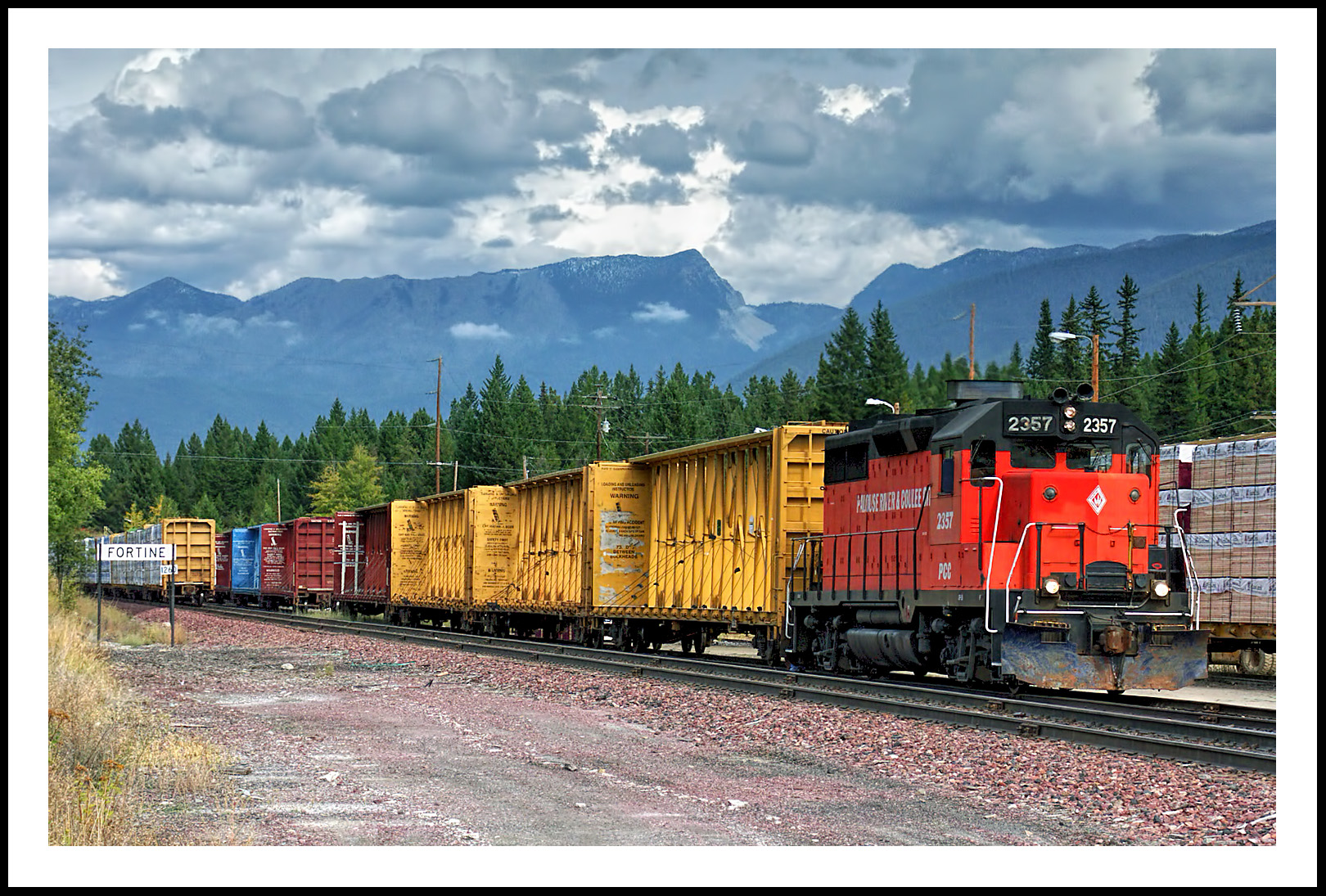
The Mission Mountain Railroad in Fortine, Montana
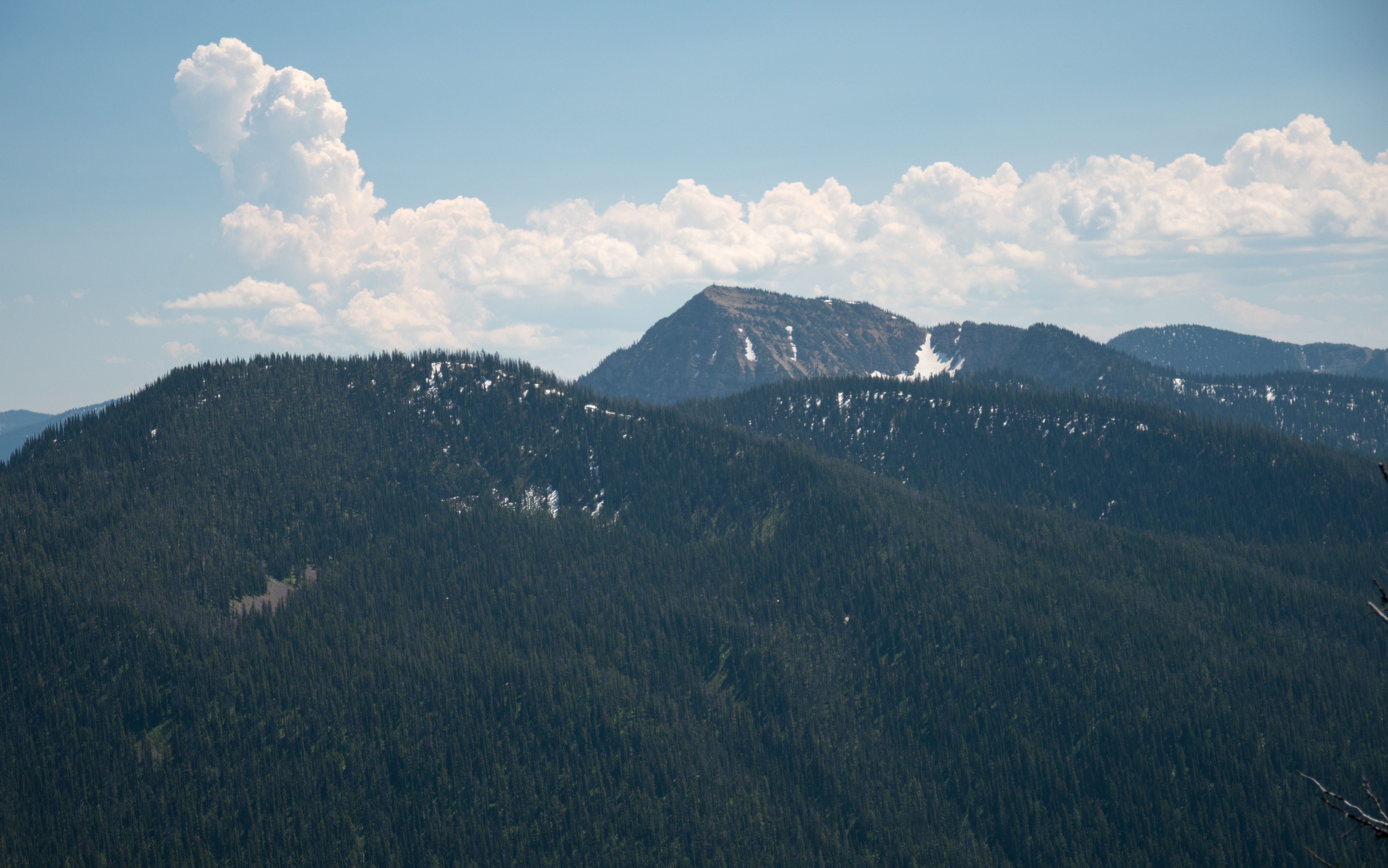
A hazy afternoon view of Mt. Wam Lookout from the Pacific Northwest Trail in the Ten Lakes Scenic Area, Kootenai National Forest in Northwest Montana
A broad view of the Ten Lakes Scenic Area from the Pacific Northwest Trail, including Mt. Wam, Stahl Peak, and St. Clair Peak, Kootenai National Forest in Northwest Montana

Pronghorn Clubtail [ Gomphus graslinellus ] male
Marston, Montana
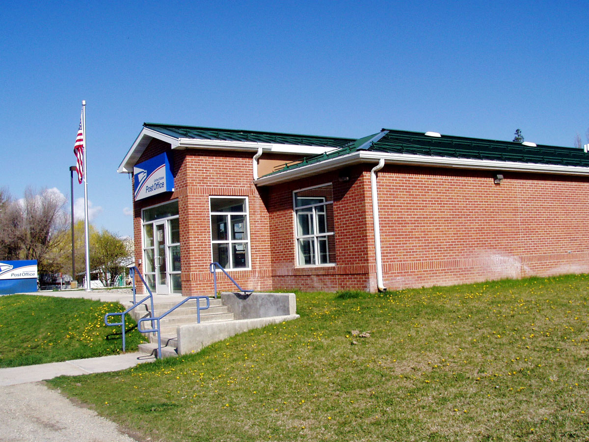
Fortine, Montana 59918
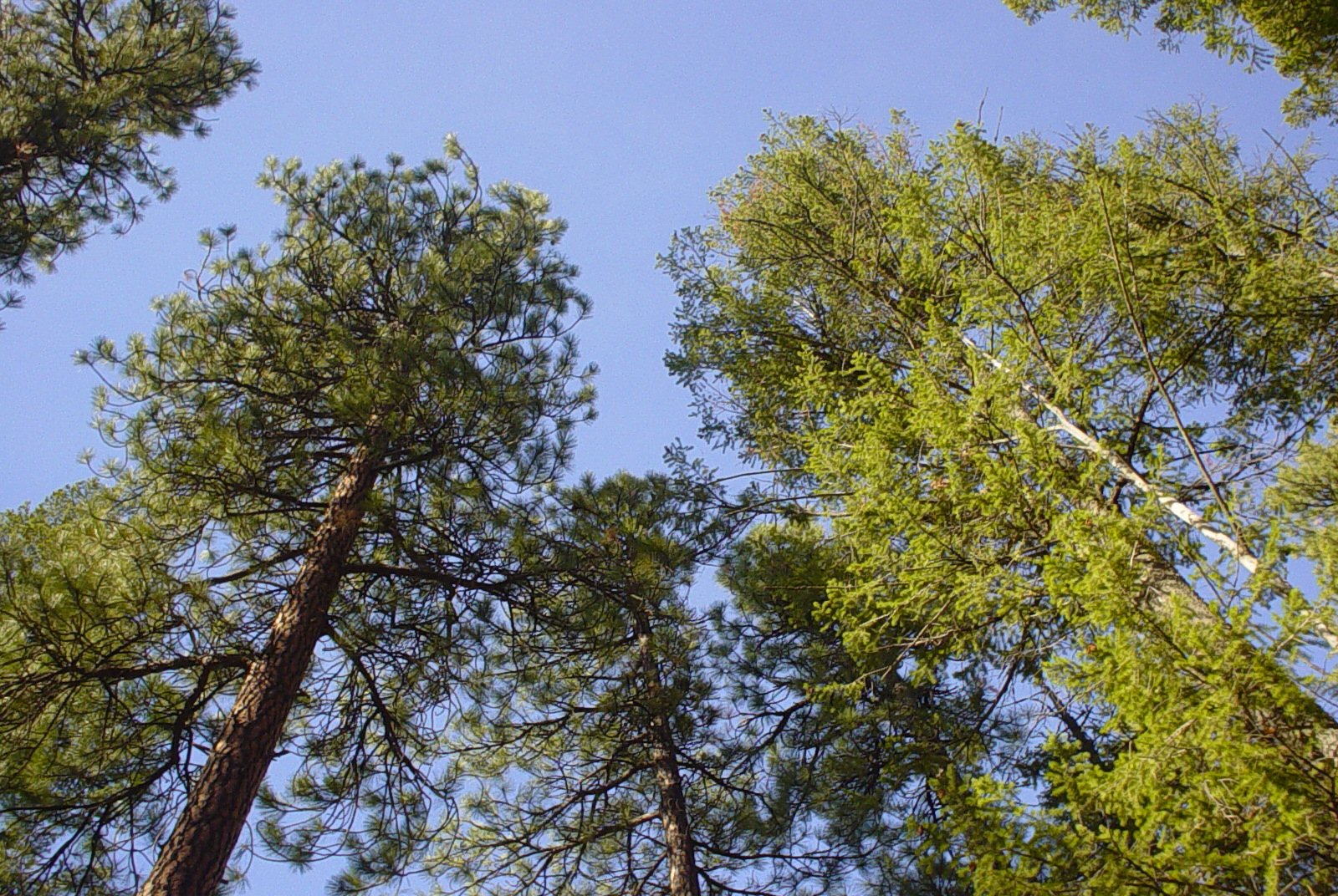
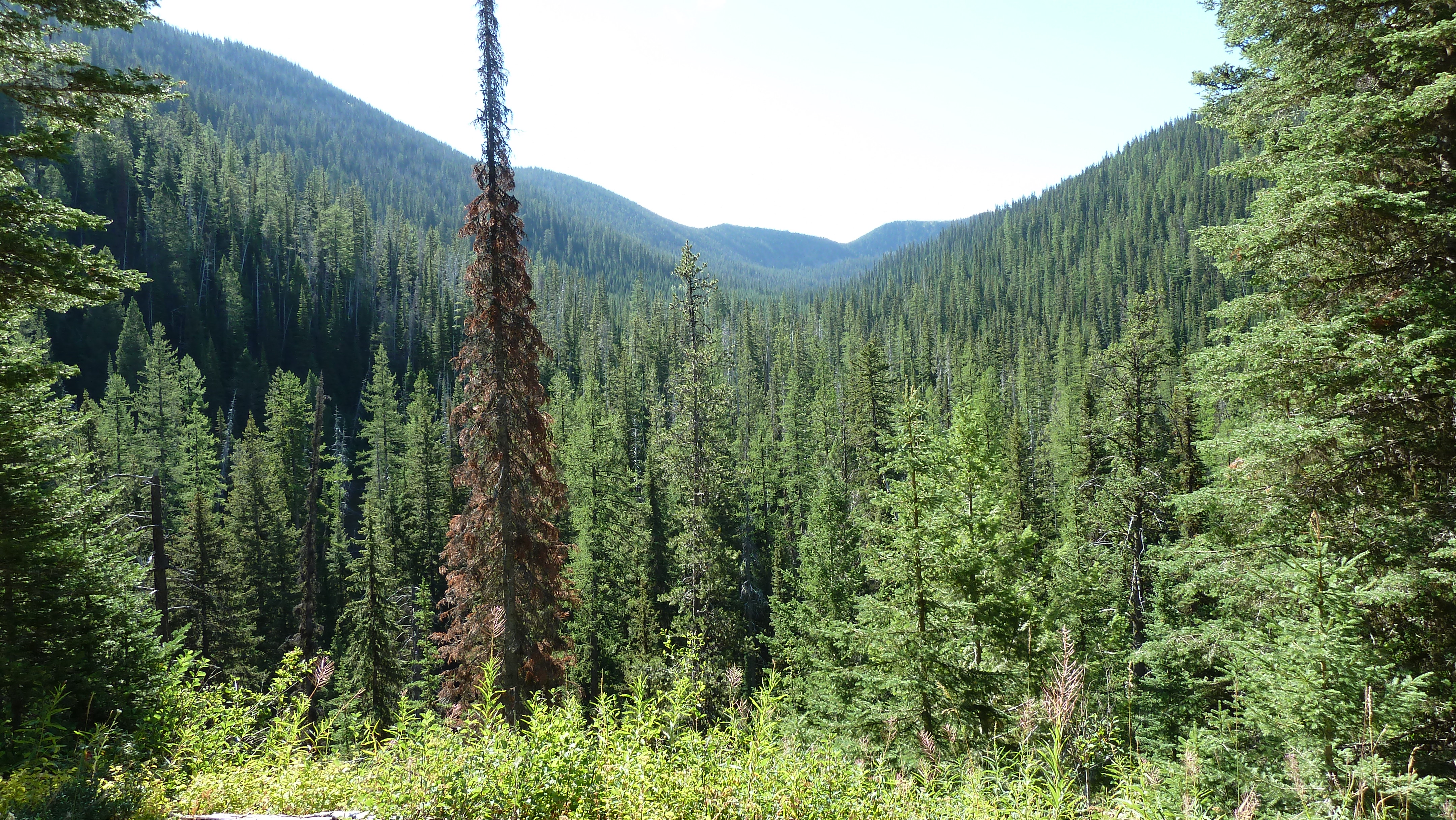
Trees and Sky
Big Therriault Lake panorama, Kootenai National Forest
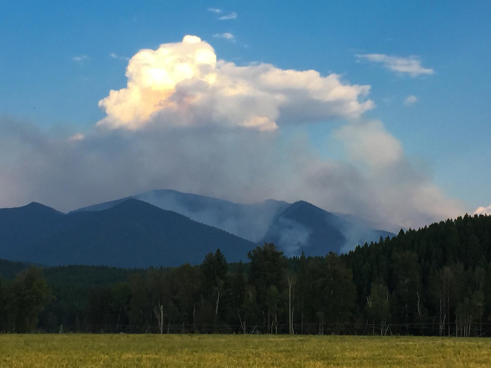
early days of the Marston Fire, taken from Grave Creek Road
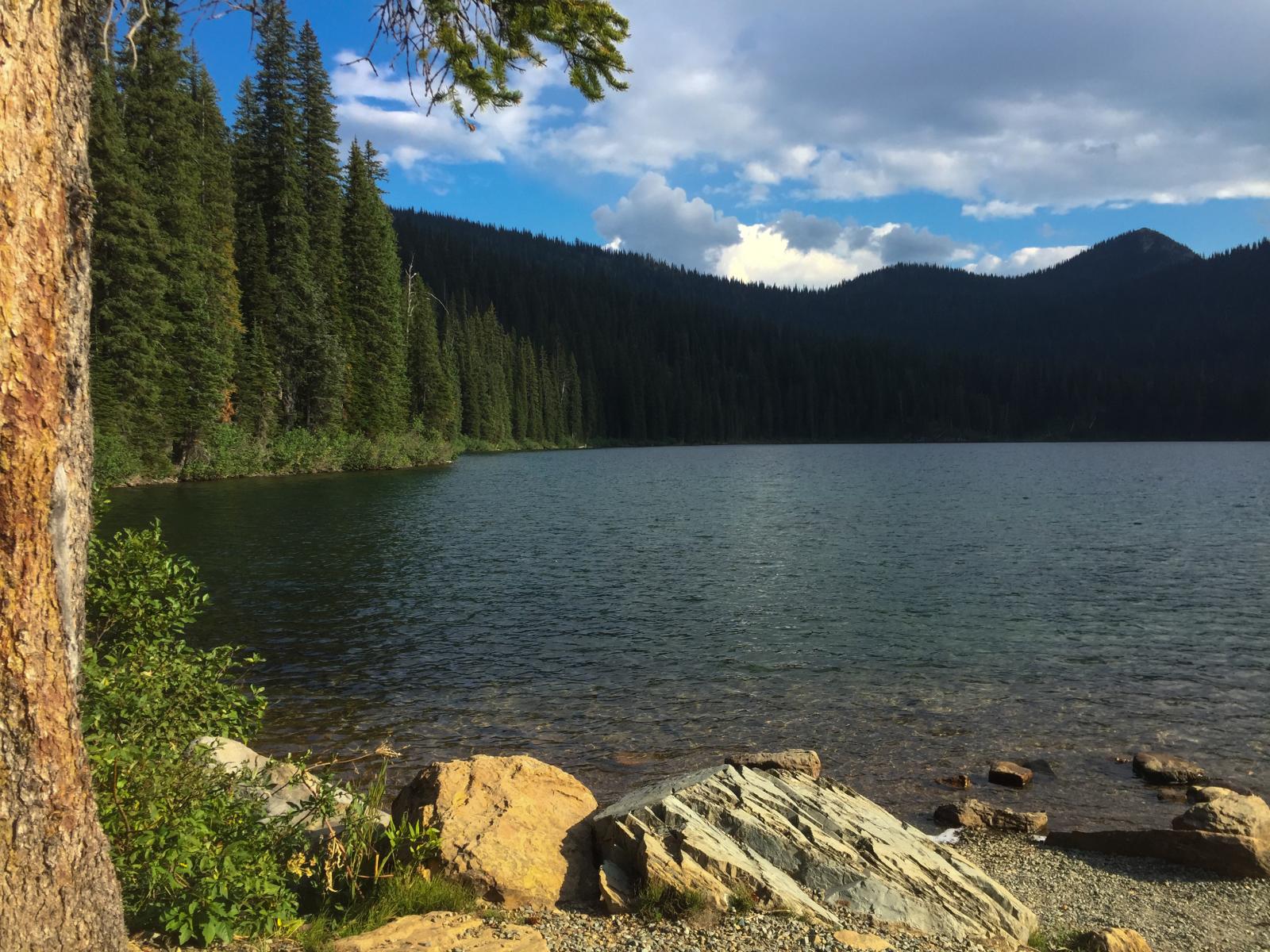
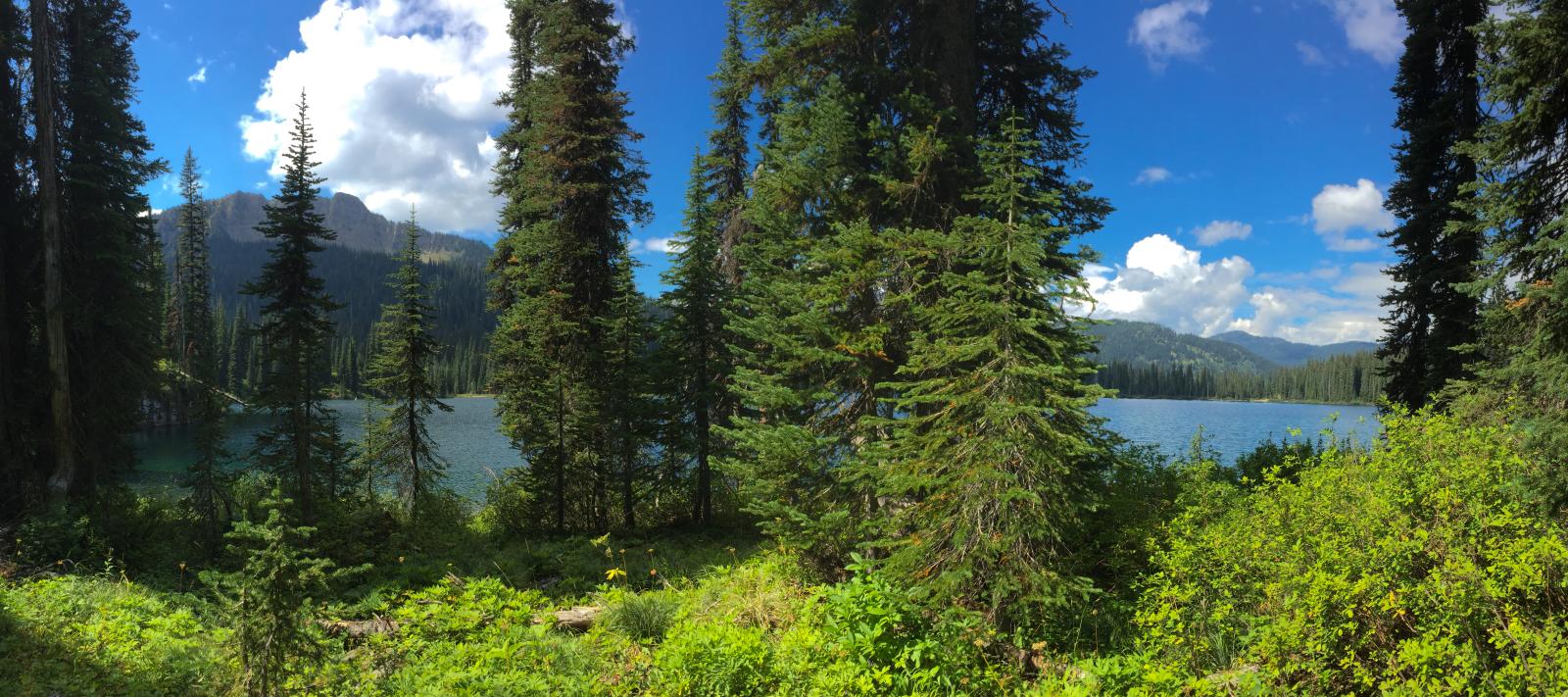
Big Therriault Lake, Kootenai National Forest
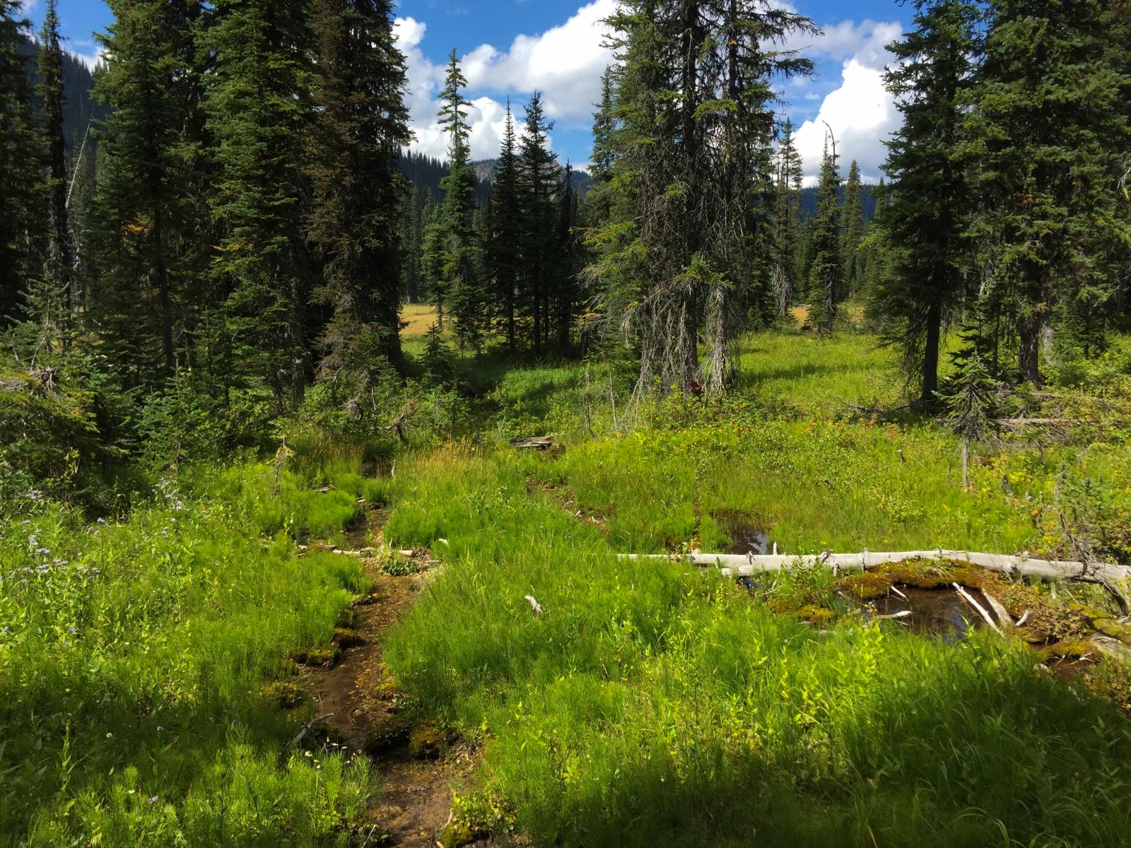
trail near Big Therriault Lake
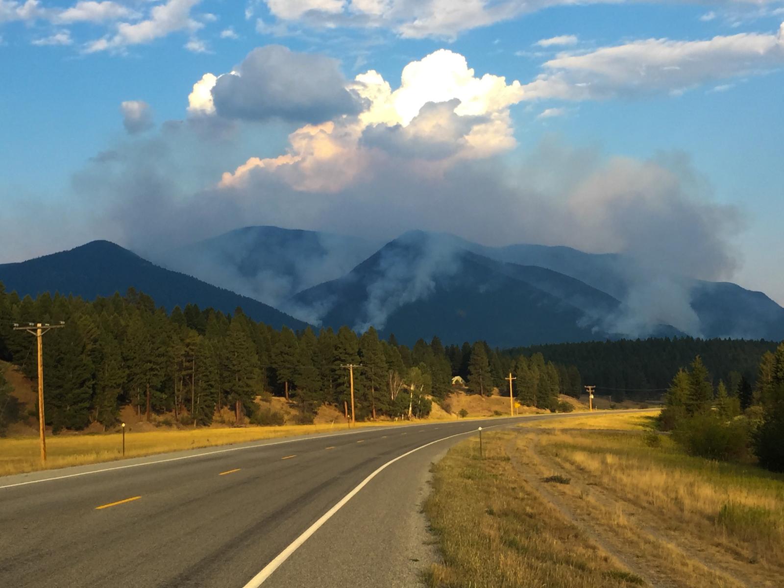
smoke from the Marston Fire near Fortine, Montana
picnic area along Big Therriault Lake, Kootenai National Forest
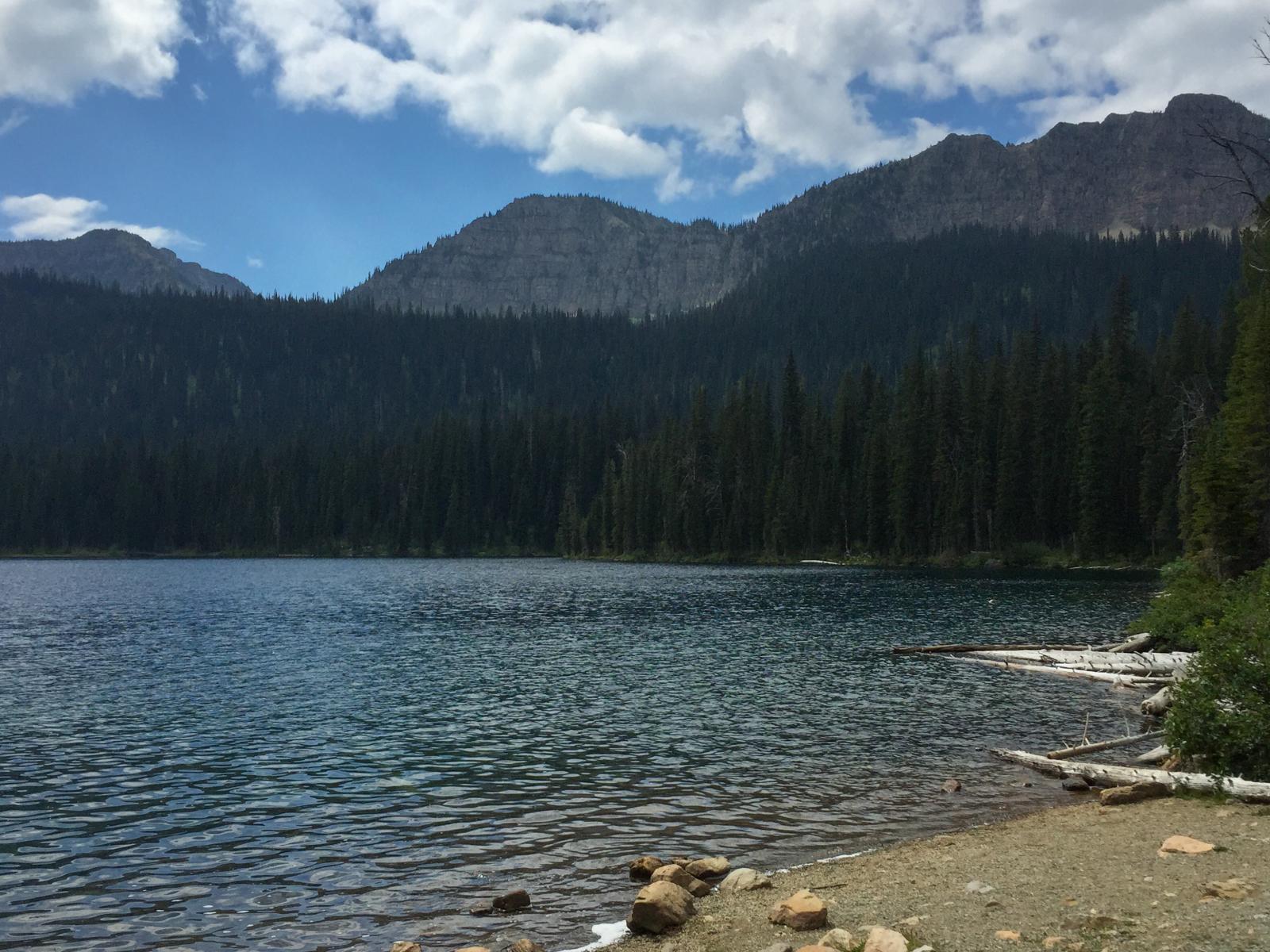
Clouds moving in over Little Therriault Lake, Kootenai National Forest
Big Therriault Lake trail, Kootenai National Forest

Upper Wolverine Lake

Mt. Wam and its fire lookout rising above the Ten Lakes Scenic Area, Kootenai National Forest in Northwest Montana
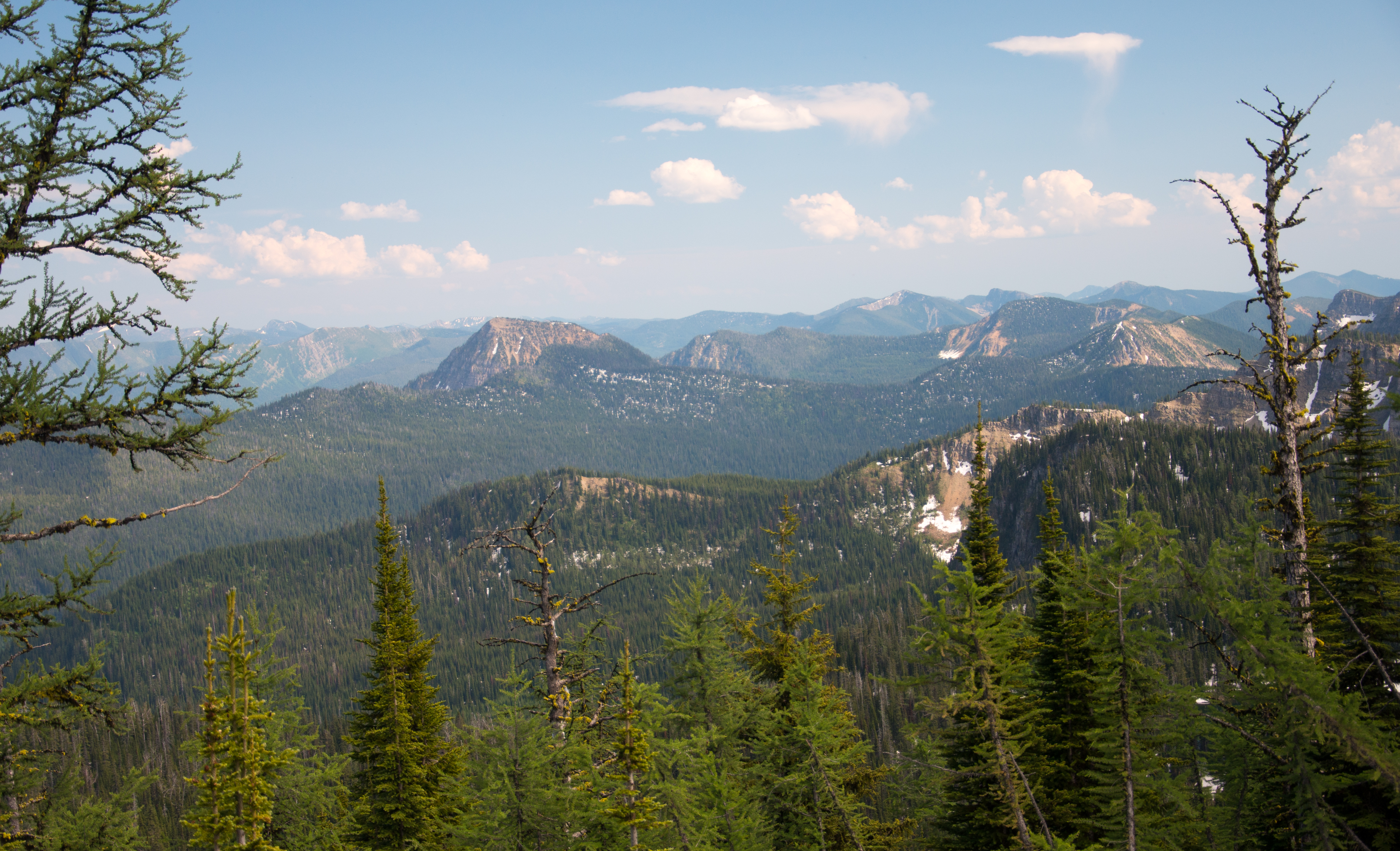
Looking south from the Pacific Northwest Trail in the Ten Lakes Scenic Area towards Ksanka Peak and St. Clair Peak, Kootenai National Forest in Northwest Montana
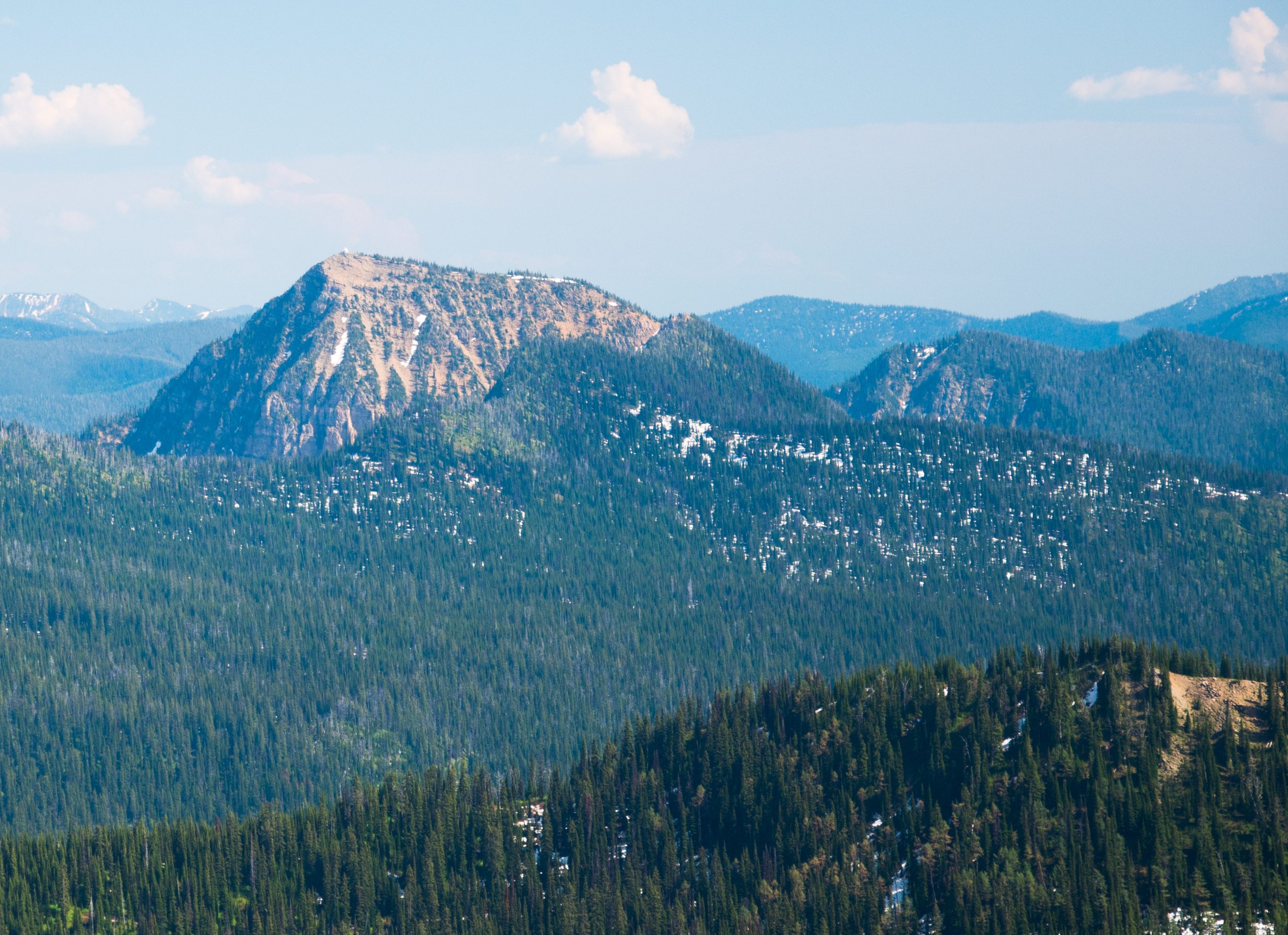
Southeast from Mount Marston Lookout

Upper Wolverine Lake

West from Mount Marston Lookout
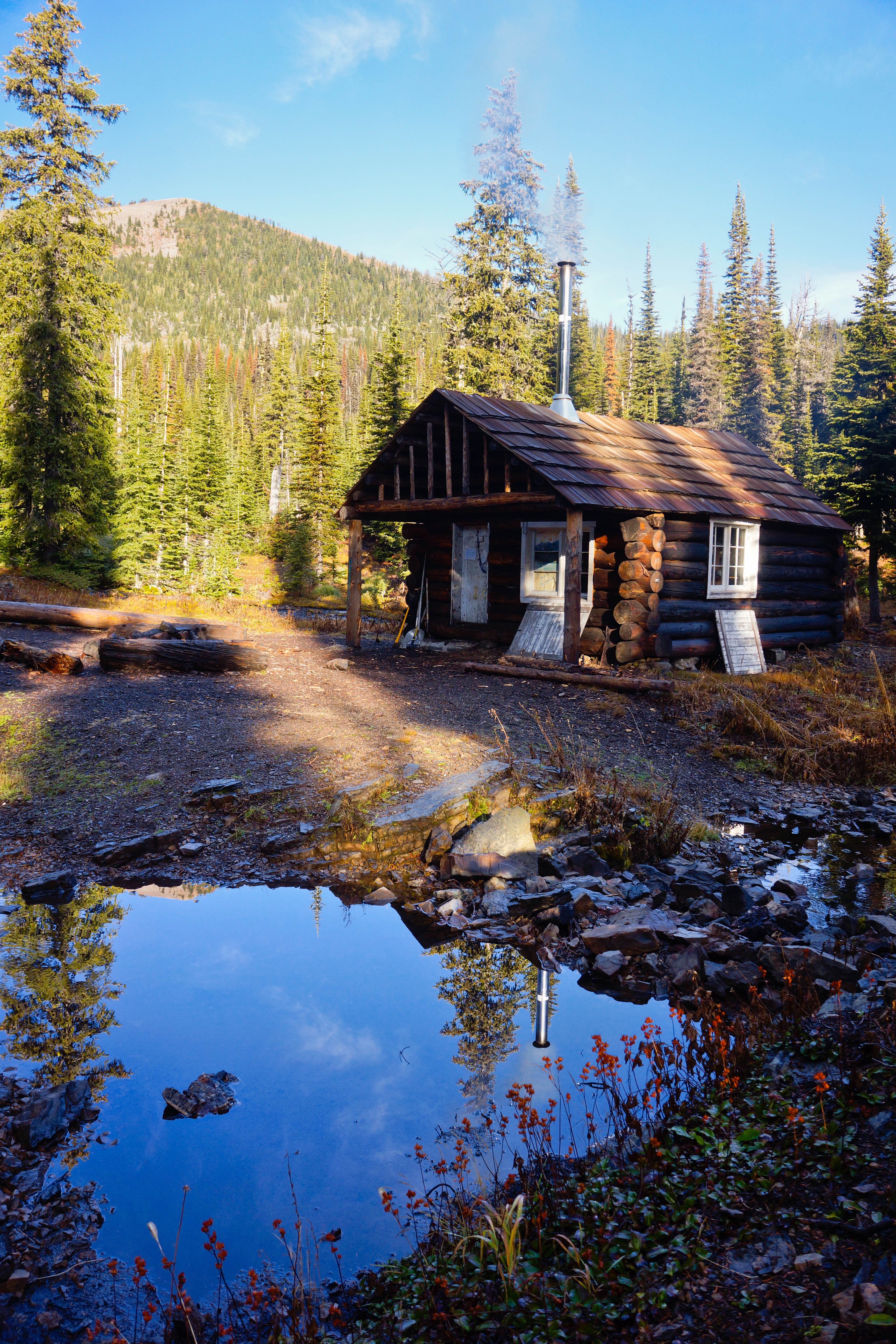
Wolverine Cabin
A closer look at Mt. Wam with the fire lookout barely visible on the summit, Kootenai National Forest in Northwest Montana

A broad look at the Ten Lakes Scenic Area including Mt. Wam from the Pacific Northwest Trail, Kootenai National Forest in Northwest Montana
Looking into Glacier National Park
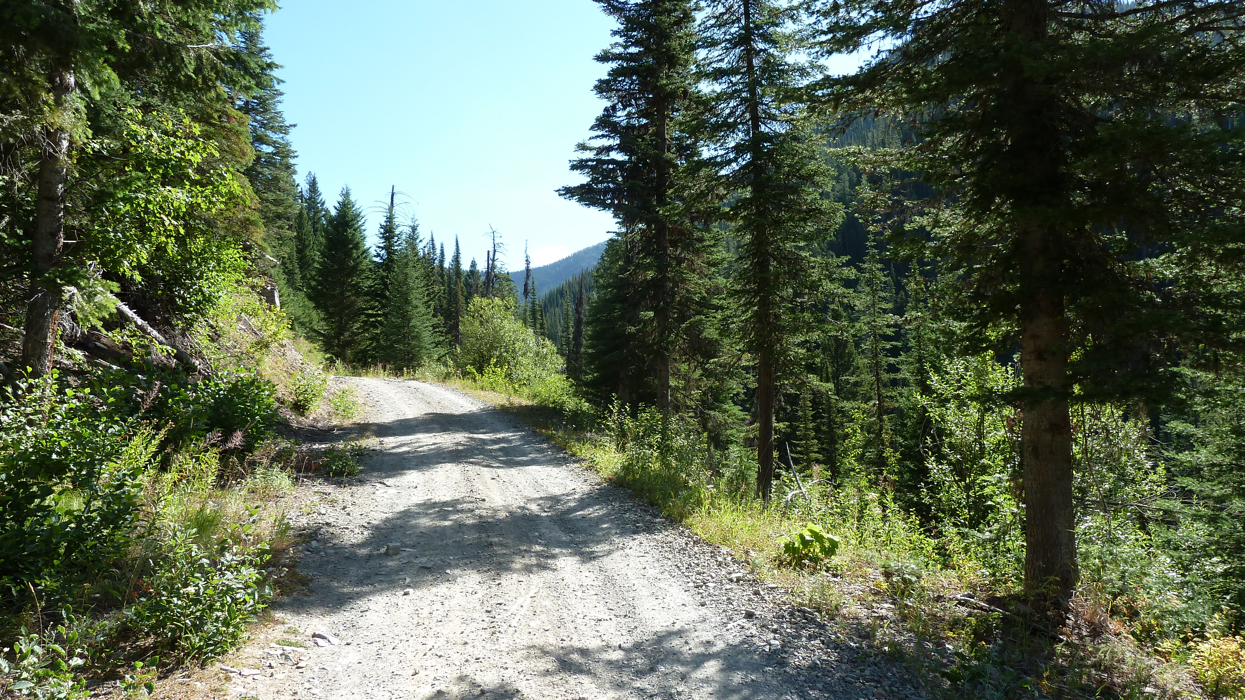
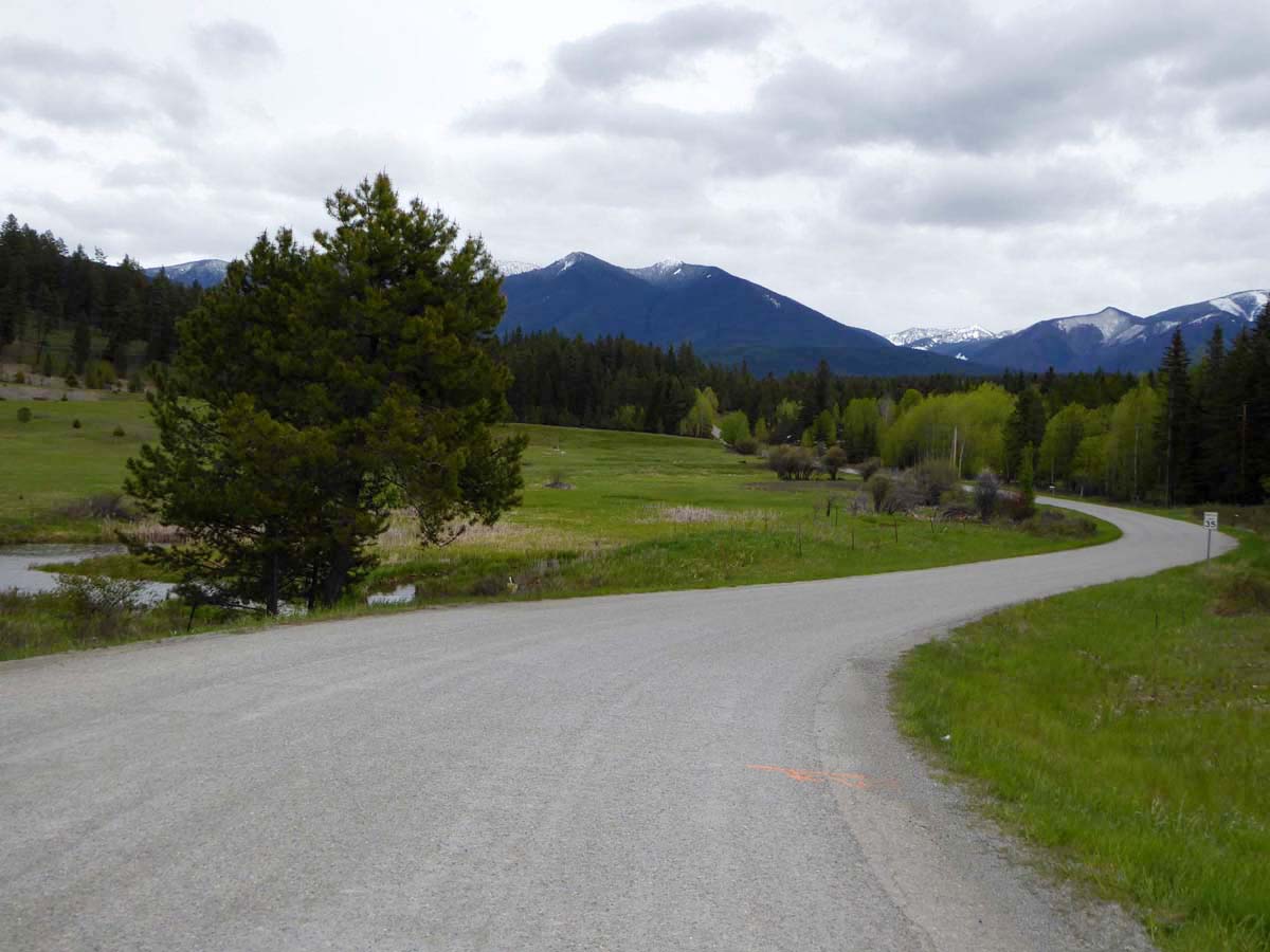
Gravel Road north of Whitefish
Topographic Map of Griffith Creek Rd, Eureka, MT, USA
Find elevation by address:

Places near Griffith Creek Rd, Eureka, MT, USA:
Eureka, MT, USA
Saint Clair Peak
2480 Grave Creek Rd
507 Vukonich Ln
Stahl Peak
Little Therriault Lake Campground
Ksanka Peak
Galton Range
Poorman Mountain
Independence Peak
Fortine
1st St N, Fortine, MT, USA
Mount Wam
467 Costich Lake Dr
Ant Flat Rd, Fortine, MT, USA
264 Gould Rd
Eureka
2713 Marl Lake Creek Rd
Indian Springs Ranch
Trego
Recent Searches:
- Elevation map of Greenland, Greenland
- Elevation of Sullivan Hill, New York, New York, 10002, USA
- Elevation of Morehead Road, Withrow Downs, Charlotte, Mecklenburg County, North Carolina, 28262, USA
- Elevation of 2800, Morehead Road, Withrow Downs, Charlotte, Mecklenburg County, North Carolina, 28262, USA
- Elevation of Yangbi Yi Autonomous County, Yunnan, China
- Elevation of Pingpo, Yangbi Yi Autonomous County, Yunnan, China
- Elevation of Mount Malong, Pingpo, Yangbi Yi Autonomous County, Yunnan, China
- Elevation map of Yongping County, Yunnan, China
- Elevation of North 8th Street, Palatka, Putnam County, Florida, 32177, USA
- Elevation of 107, Big Apple Road, East Palatka, Putnam County, Florida, 32131, USA
- Elevation of Jiezi, Chongzhou City, Sichuan, China
- Elevation of Chongzhou City, Sichuan, China
- Elevation of Huaiyuan, Chongzhou City, Sichuan, China
- Elevation of Qingxia, Chengdu, Sichuan, China
- Elevation of Corso Fratelli Cairoli, 35, Macerata MC, Italy
- Elevation of Tallevast Rd, Sarasota, FL, USA
- Elevation of 4th St E, Sonoma, CA, USA
- Elevation of Black Hollow Rd, Pennsdale, PA, USA
- Elevation of Oakland Ave, Williamsport, PA, USA
- Elevation of Pedrógão Grande, Portugal