Elevation of Trego, MT, USA
Location: United States > Montana > Lincoln County >
Longitude: -114.86934
Latitude: 48.7052824
Elevation: 949m / 3114feet
Barometric Pressure: 90KPa
Elevation Map:
Satellite Map:
Related Photos:

Marston, Montana

Fortine, Montana 59918

The Mission Mountain Railroad in Fortine, Montana

Stryker, Montana 59933

Stryker, Montana 59933

Pronghorn Clubtail [ Gomphus graslinellus ] male

Trees and Sky

Stillwater Gorge

Sunday Falls

Fishing Sunday Falls

Sunday Falls

Upper Stillwater Gorge

Sunday Creek

Stillwater Gorge

Little Sunday Lake
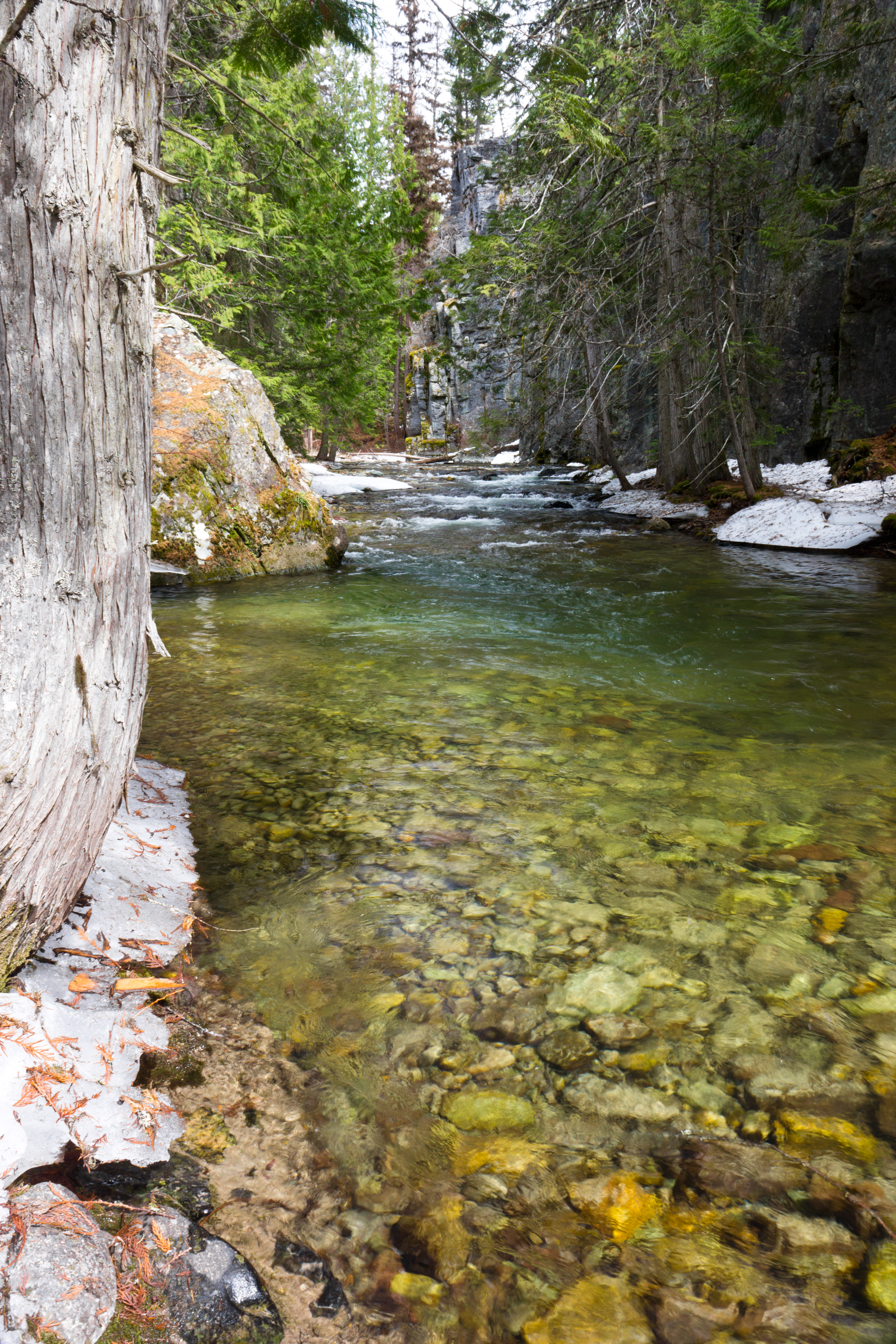
Stillwater Gorge

Little Sunday Lake

Smokey Lake

Tree Fungus

Sunday Falls

Hidden Valley Campsite

Hidden Valley

Stillwater River

Stillwater Gorge

Fire Lake

Stillwater Gorge

Hidden Valley

Hidden Valley
Topographic Map of Trego, MT, USA
Find elevation by address:

Places near Trego, MT, USA:
Ant Flat Rd, Fortine, MT, USA
677 Metzner Dr
1st St N, Fortine, MT, USA
Fortine
2713 Marl Lake Creek Rd
507 Vukonich Ln
2480 Grave Creek Rd
430 Morning Sky Dr
293 5 Mile Creek-lake Creek Rd
490 Griffith Creek Rd
Eureka, MT, USA
Finger Lake
Stahl Peak
Saint Clair Peak
Little Therriault Lake Campground
Ksanka Peak
467 Costich Lake Dr
Eureka
Mount Wam
Galton Range
Recent Searches:
- Elevation of Corso Fratelli Cairoli, 35, Macerata MC, Italy
- Elevation of Tallevast Rd, Sarasota, FL, USA
- Elevation of 4th St E, Sonoma, CA, USA
- Elevation of Black Hollow Rd, Pennsdale, PA, USA
- Elevation of Oakland Ave, Williamsport, PA, USA
- Elevation of Pedrógão Grande, Portugal
- Elevation of Klee Dr, Martinsburg, WV, USA
- Elevation of Via Roma, Pieranica CR, Italy
- Elevation of Tavkvetili Mountain, Georgia
- Elevation of Hartfords Bluff Cir, Mt Pleasant, SC, USA