Elevation of Wedge Mountain, Montana, USA
Location: United States > Montana > Polebridge >
Longitude: -114.49959
Latitude: 48.8908043
Elevation: 1885m / 6184feet
Barometric Pressure: 81KPa
Elevation Map:
Satellite Map:
Related Photos:
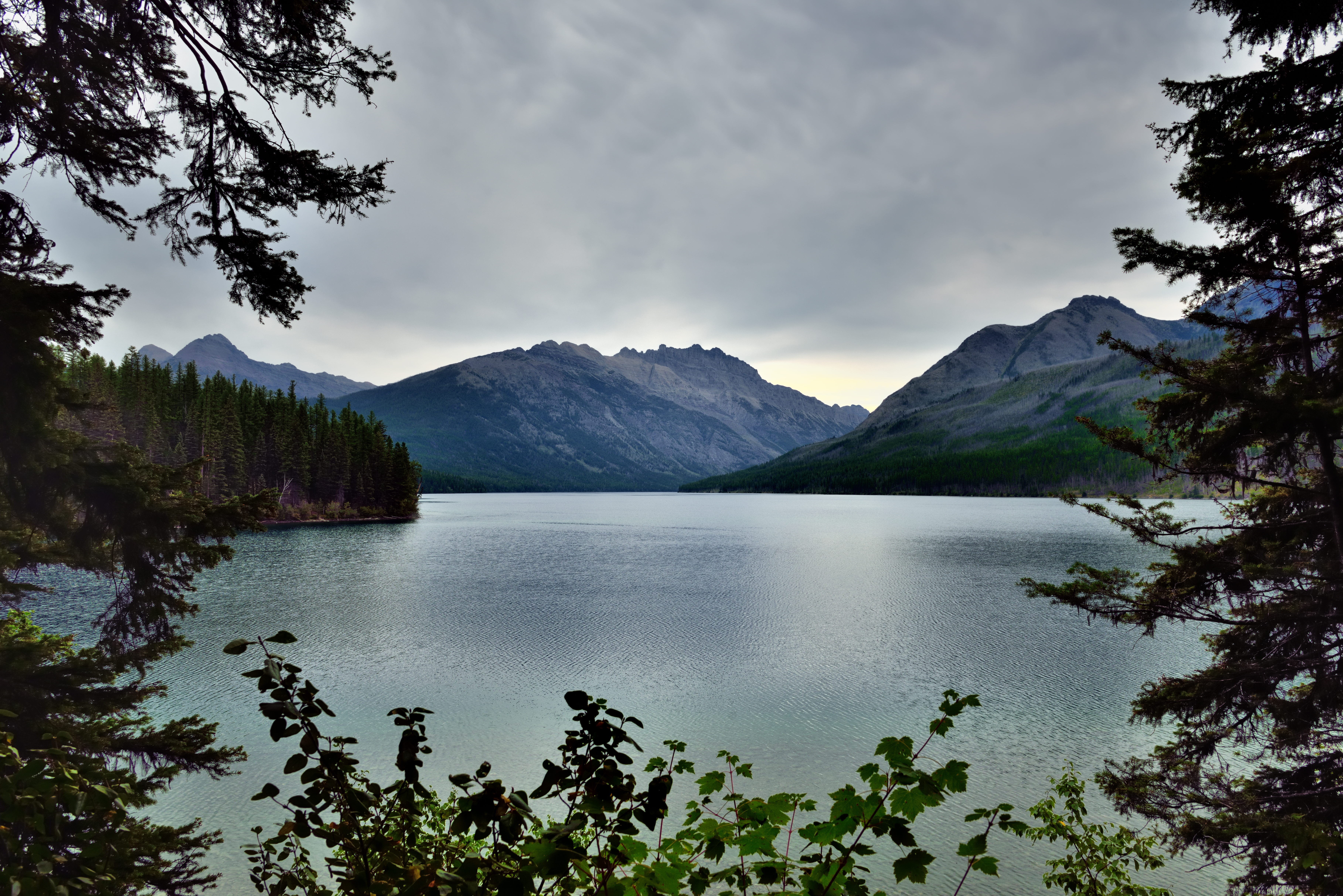
Framing a Mountain View in Glacier National Park
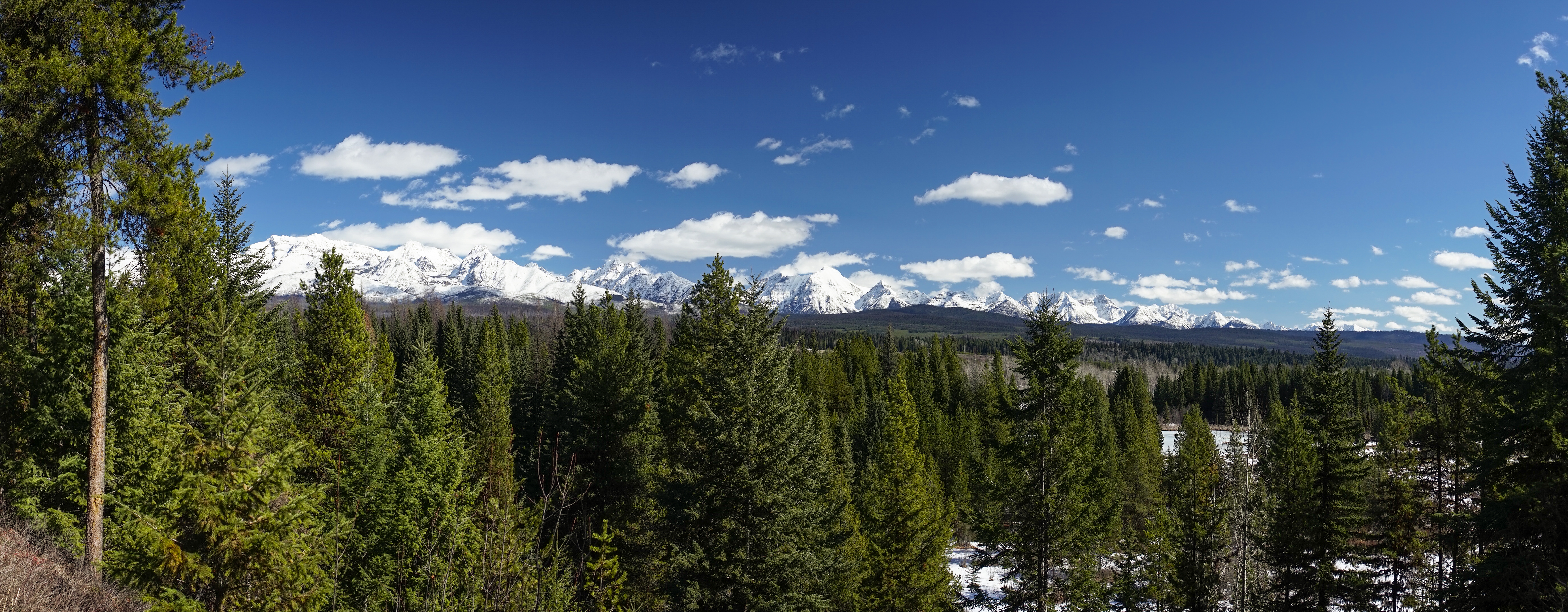
Snaus Cabin View

Kintla Lake, The Boundary Mountains and a View into Canada
Topographic Map of Wedge Mountain, Montana, USA
Find elevation by address:

Places near Wedge Mountain, Montana, USA:
Cleft Rock Mountain
Moose Creek Road
16120 N Fork Rd
15633 N Fork Rd
Tuchuck Campground
Mount Hefty
744 Deep Woods Trail
Review Mountain South
Tuchuck Mountain
Review Mountain North
Polebridge
Couldrey Ridge
King Edward Peak
Parke Peak
Starvation Peak
Reuter Peak
Bowman Lake Campground
Long Knife Peak
Mount Wam
Numa Ridge North
Recent Searches:
- Elevation of Corso Fratelli Cairoli, 35, Macerata MC, Italy
- Elevation of Tallevast Rd, Sarasota, FL, USA
- Elevation of 4th St E, Sonoma, CA, USA
- Elevation of Black Hollow Rd, Pennsdale, PA, USA
- Elevation of Oakland Ave, Williamsport, PA, USA
- Elevation of Pedrógão Grande, Portugal
- Elevation of Klee Dr, Martinsburg, WV, USA
- Elevation of Via Roma, Pieranica CR, Italy
- Elevation of Tavkvetili Mountain, Georgia
- Elevation of Hartfords Bluff Cir, Mt Pleasant, SC, USA