Elevation of Tuchuck Mountain, Montana, USA
Location: United States > Montana > Polebridge >
Longitude: -114.67487
Latitude: 48.9763593
Elevation: 2283m / 7490feet
Barometric Pressure: 77KPa
Elevation Map:
Satellite Map:
Related Photos:
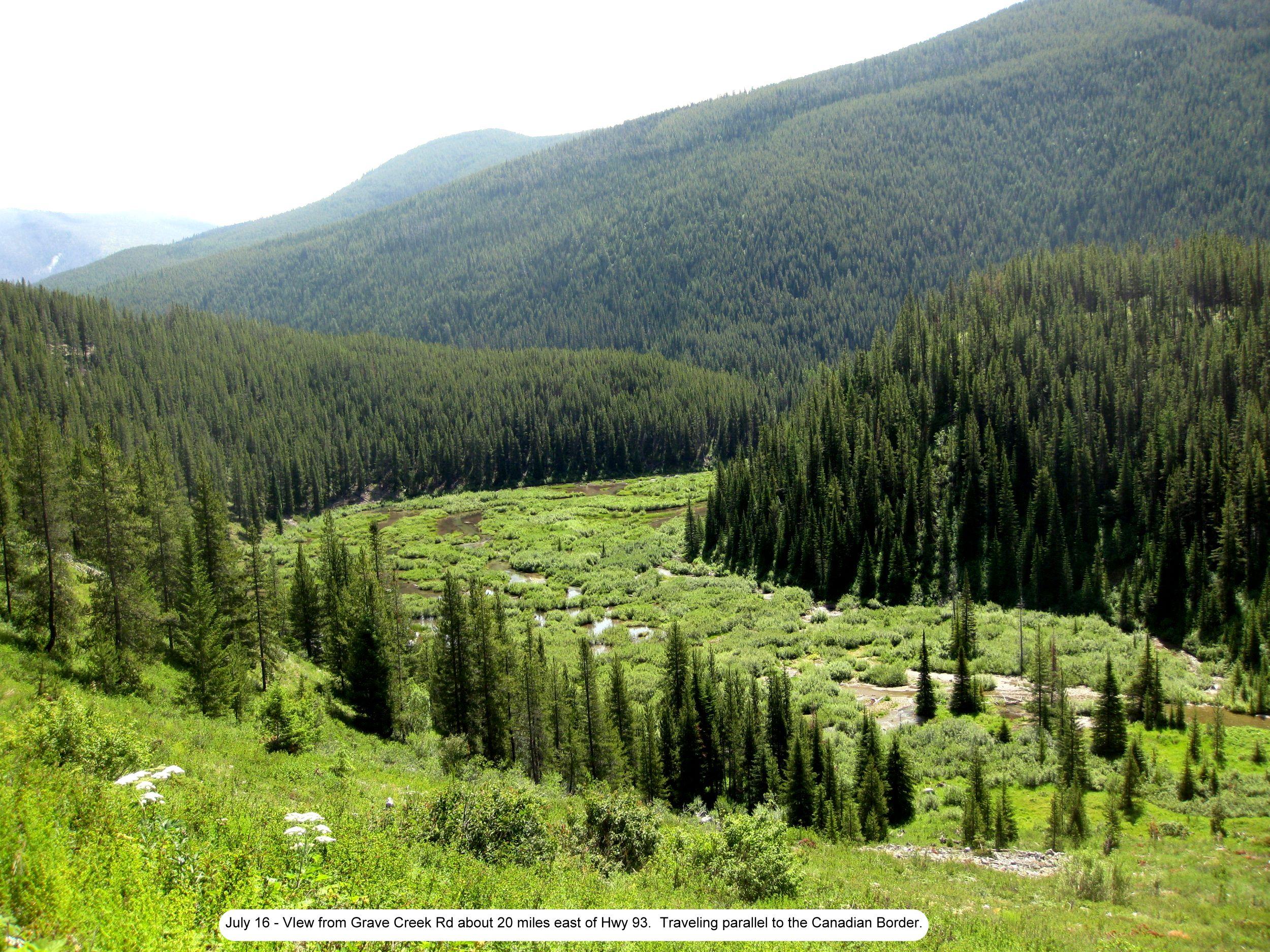
Photo
Topographic Map of Tuchuck Mountain, Montana, USA
Find elevation by address:

Places near Tuchuck Mountain, Montana, USA:
Review Mountain North
Review Mountain South
Couldrey Ridge
Tuchuck Campground
Mount Hefty
Mount Wam
Cleft Rock Mountain
Stahl Peak
Wedge Mountain
Little Therriault Lake Campground
16120 N Fork Rd
Saint Clair Peak
Mount Doupe
Galton Range
490 Griffith Creek Rd
15633 N Fork Rd
Poorman Mountain
Moose Creek Road
Eureka, MT, USA
Ksanka Peak
Recent Searches:
- Elevation of Corso Fratelli Cairoli, 35, Macerata MC, Italy
- Elevation of Tallevast Rd, Sarasota, FL, USA
- Elevation of 4th St E, Sonoma, CA, USA
- Elevation of Black Hollow Rd, Pennsdale, PA, USA
- Elevation of Oakland Ave, Williamsport, PA, USA
- Elevation of Pedrógão Grande, Portugal
- Elevation of Klee Dr, Martinsburg, WV, USA
- Elevation of Via Roma, Pieranica CR, Italy
- Elevation of Tavkvetili Mountain, Georgia
- Elevation of Hartfords Bluff Cir, Mt Pleasant, SC, USA