Elevation of Grasmere, BC V0B, Canada
Location: Canada > British Columbia >
Longitude: -115.08381
Latitude: 49.099084
Elevation: 838m / 2749feet
Barometric Pressure: 92KPa
Elevation Map:
Satellite Map:
Related Photos:
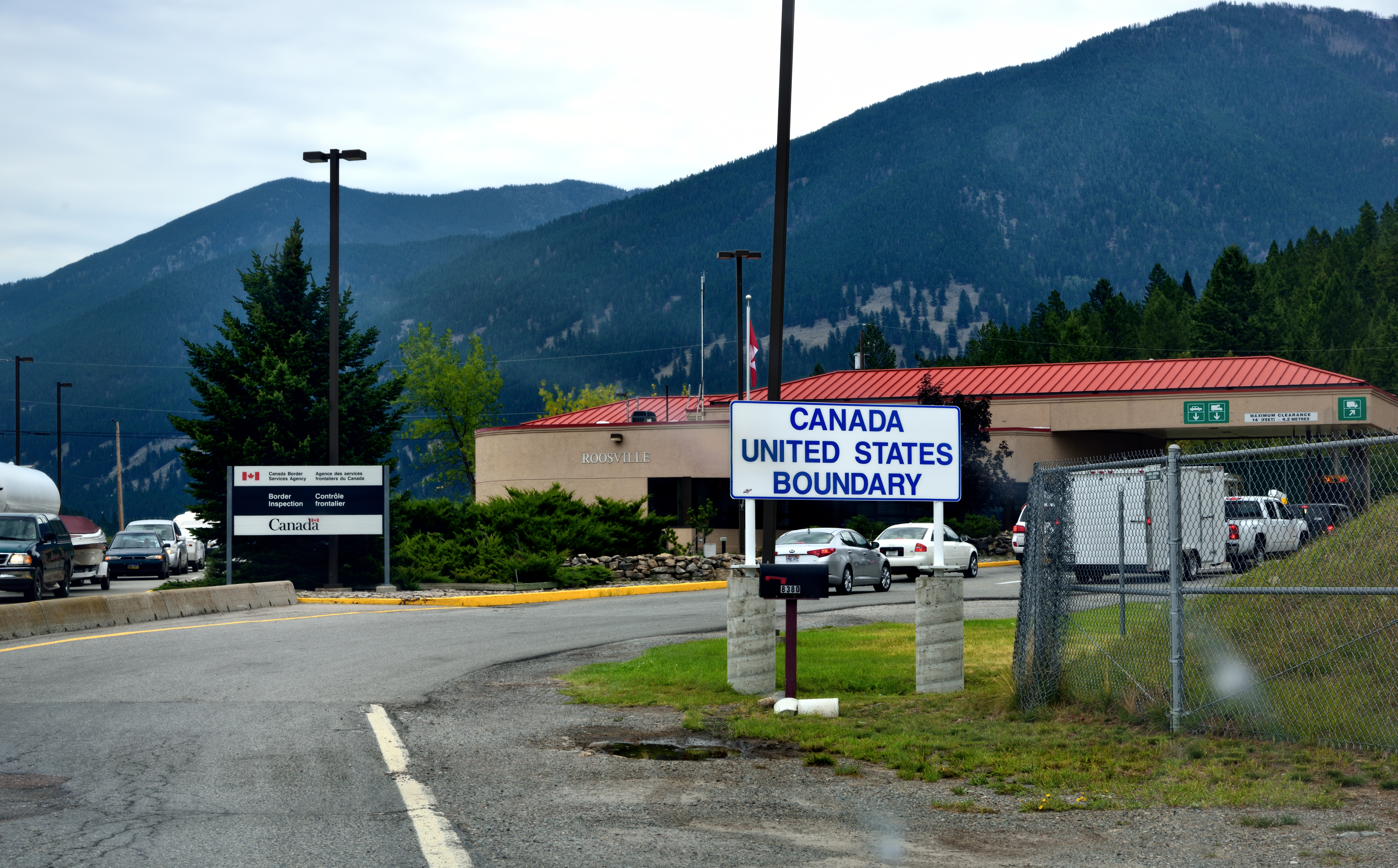
Crossing into Canada...
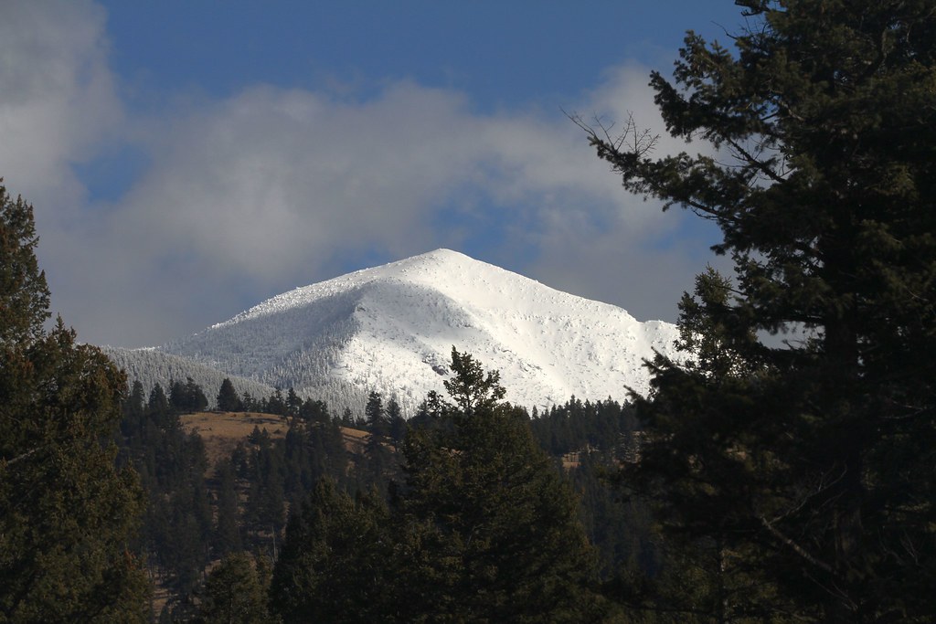
Mt Mahaney
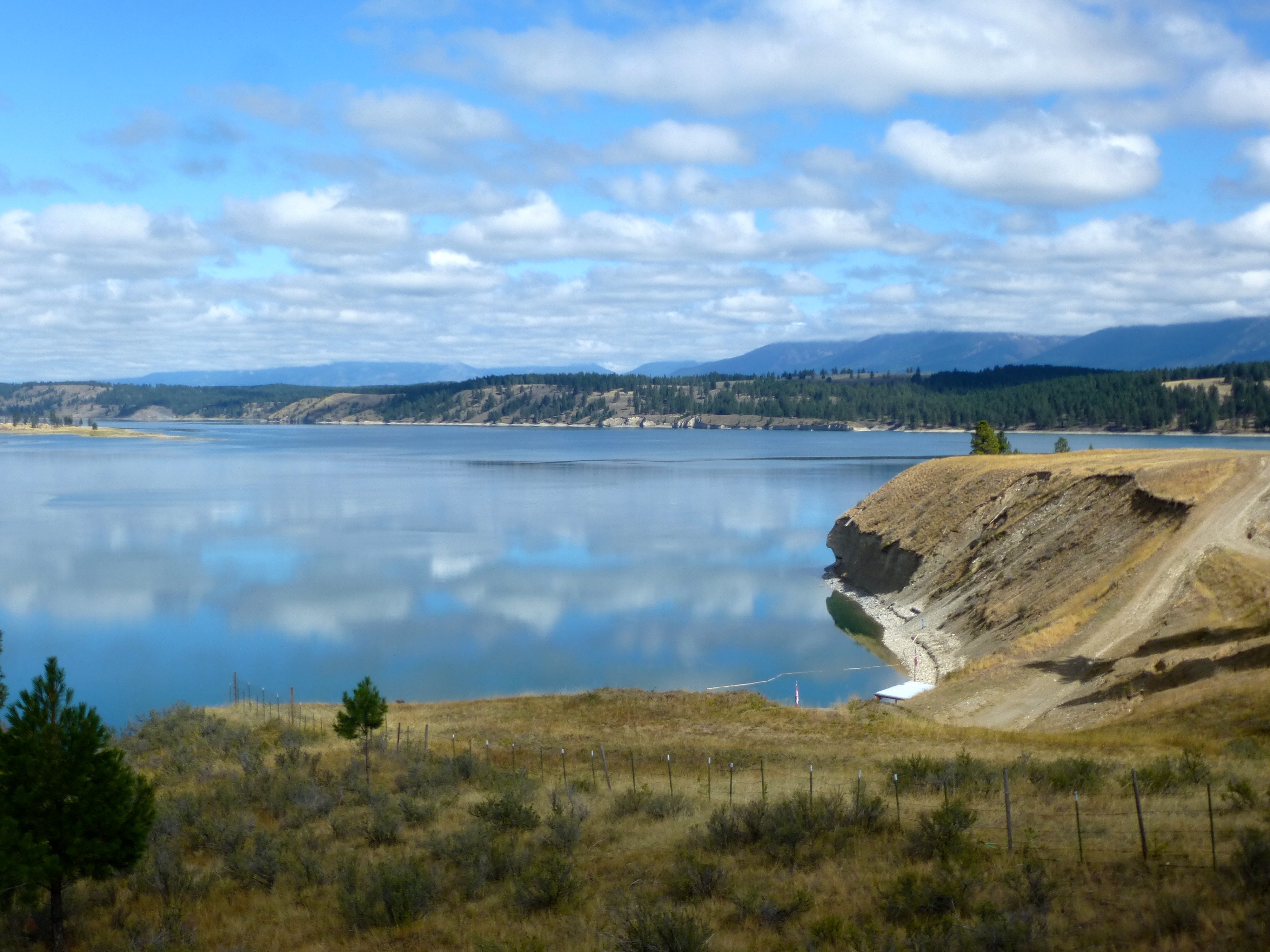
Lake Koocanusa
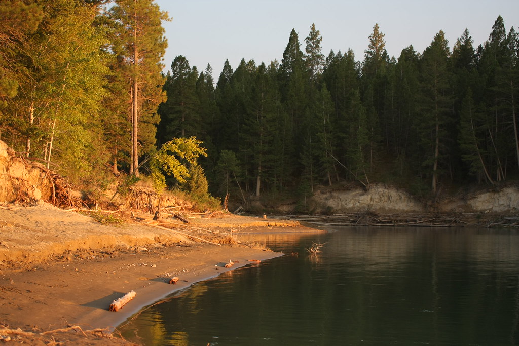
Sandy Shores
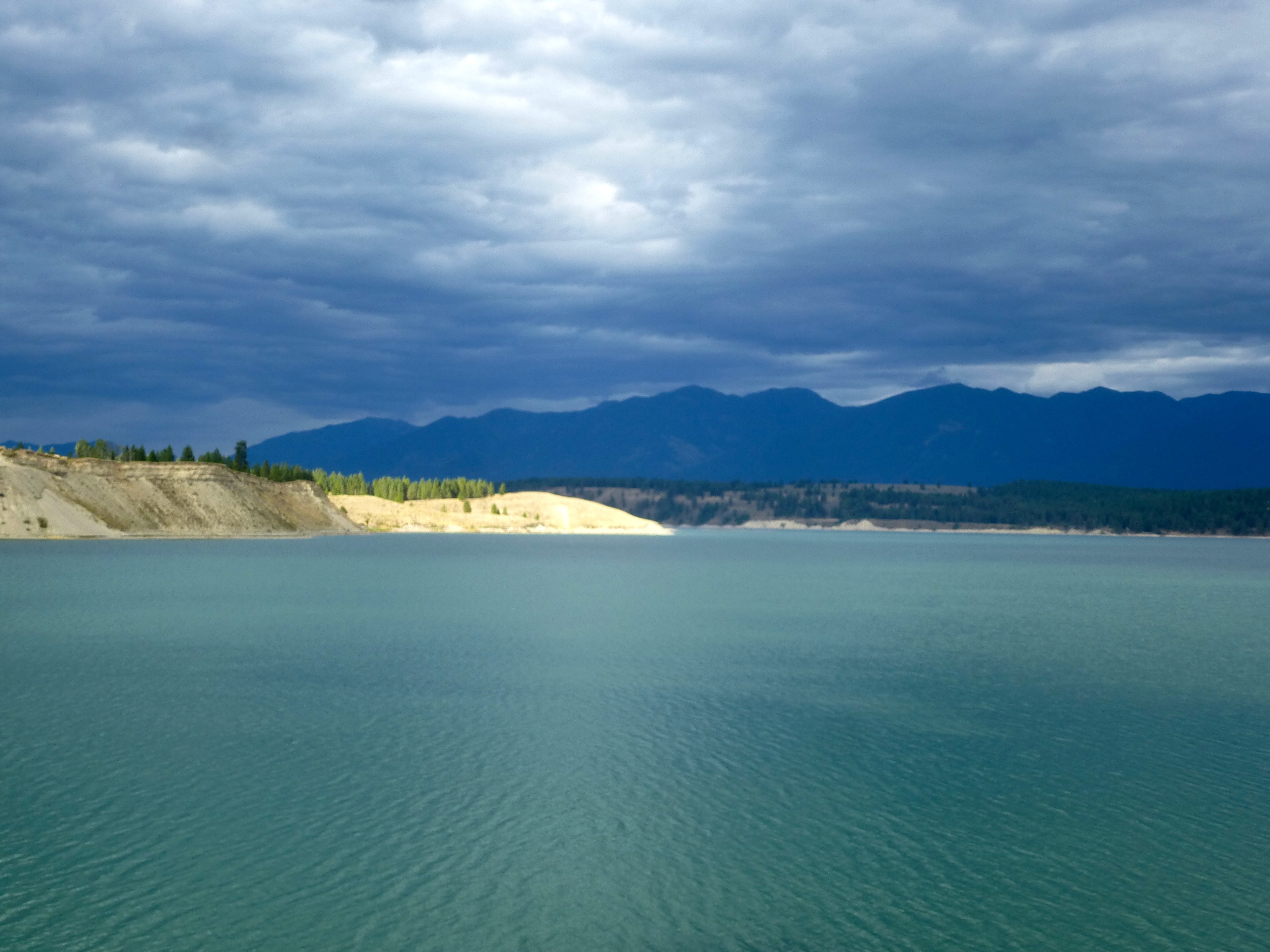
Koocanusa Evening
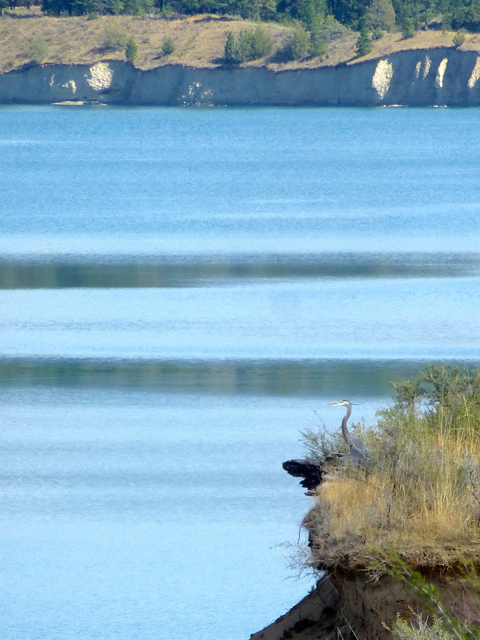
Great Blue Heron
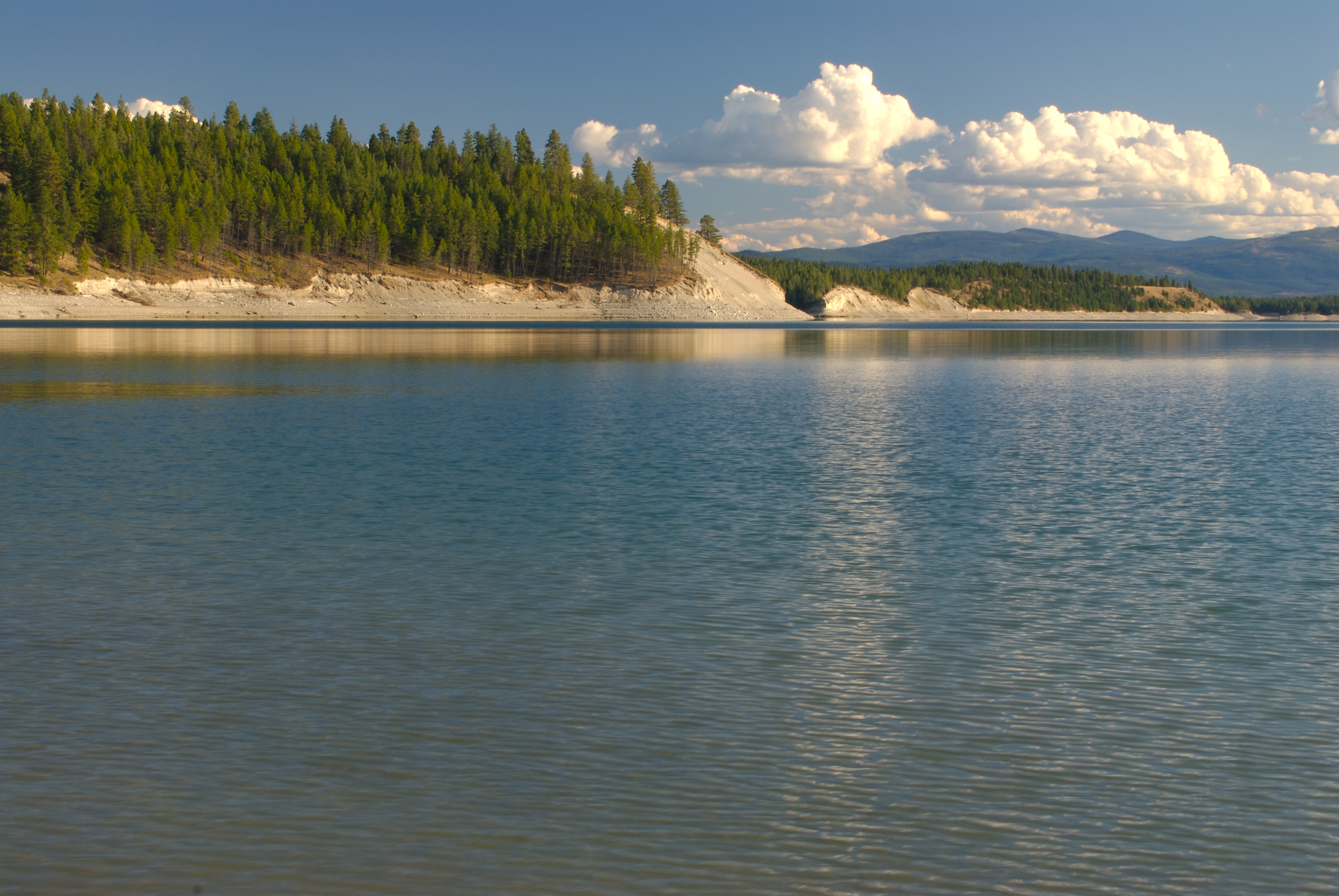
Lake Koocanusa
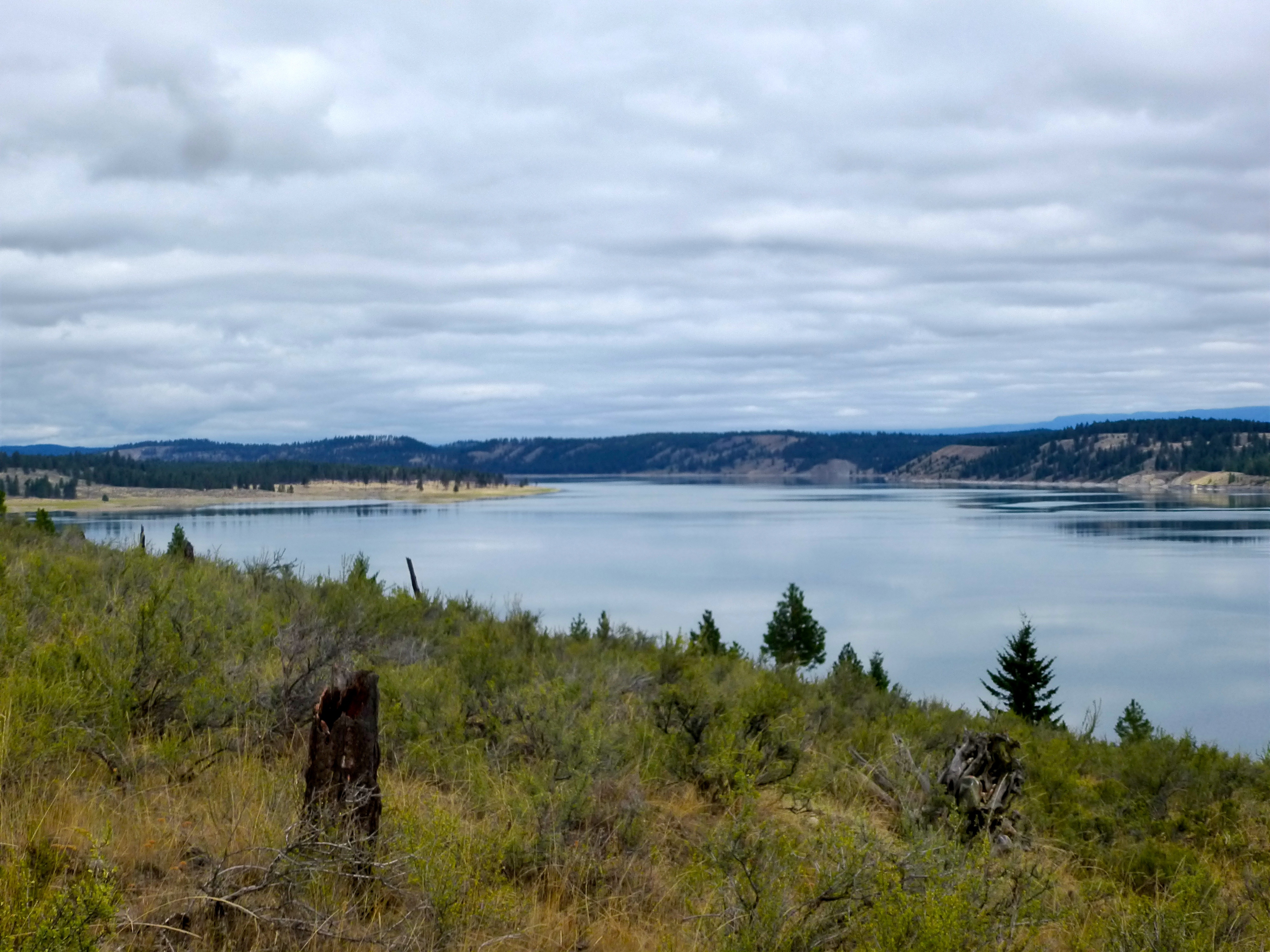
The roughest it ever got

Kootenay Hwy, Kootenay National Park (British Columbia)
Topographic Map of Grasmere, BC V0B, Canada
Find elevation by address:

Places in Grasmere, BC V0B, Canada:
Couldrey Ridge
King Edward Peak
Starvation Peak
Clark Range
La Coulotte Ridge
Mount Matkin
Scarpe Mountain
Three Lakes Ridge
Haig S3
Tombstone Mountain
Saint Eloi Sw3
Saint Eloi Sw1
Packhorse Peak
Centre Se1
Mount Borsato
Centre Mountain
Darrah S2
Darrah Sw1
Darrah N2
Ptolemy Se5
Mount Coulthard
Andy Good Peak
Places near Grasmere, BC V0B, Canada:
Roosville
Newgate
264 Gould Rd
563 Elk Run Dr
Indian Springs Ranch
Independence Peak
Poorman Mountain
Galton Range
Rexford Bench Campground
467 Costich Lake Dr
Ksanka Peak
Rexford
63 Bobsled Run
Eureka
3205 Othorp Lake Rd
3205 Othorp Lake Rd
Little Therriault Lake Campground
Saint Clair Peak
Eureka, MT, USA
882 Gut Creek Rd
Recent Searches:
- Elevation of Corso Fratelli Cairoli, 35, Macerata MC, Italy
- Elevation of Tallevast Rd, Sarasota, FL, USA
- Elevation of 4th St E, Sonoma, CA, USA
- Elevation of Black Hollow Rd, Pennsdale, PA, USA
- Elevation of Oakland Ave, Williamsport, PA, USA
- Elevation of Pedrógão Grande, Portugal
- Elevation of Klee Dr, Martinsburg, WV, USA
- Elevation of Via Roma, Pieranica CR, Italy
- Elevation of Tavkvetili Mountain, Georgia
- Elevation of Hartfords Bluff Cir, Mt Pleasant, SC, USA