Elevation of Mount Coulthard, East Kootenay A, BC V0B, Canada
Location: Canada > British Columbia > Grasmere >
Longitude: -114.57333
Latitude: 49.5566666
Elevation: 2571m / 8435feet
Barometric Pressure: 74KPa
Elevation Map:
Satellite Map:
Related Photos:
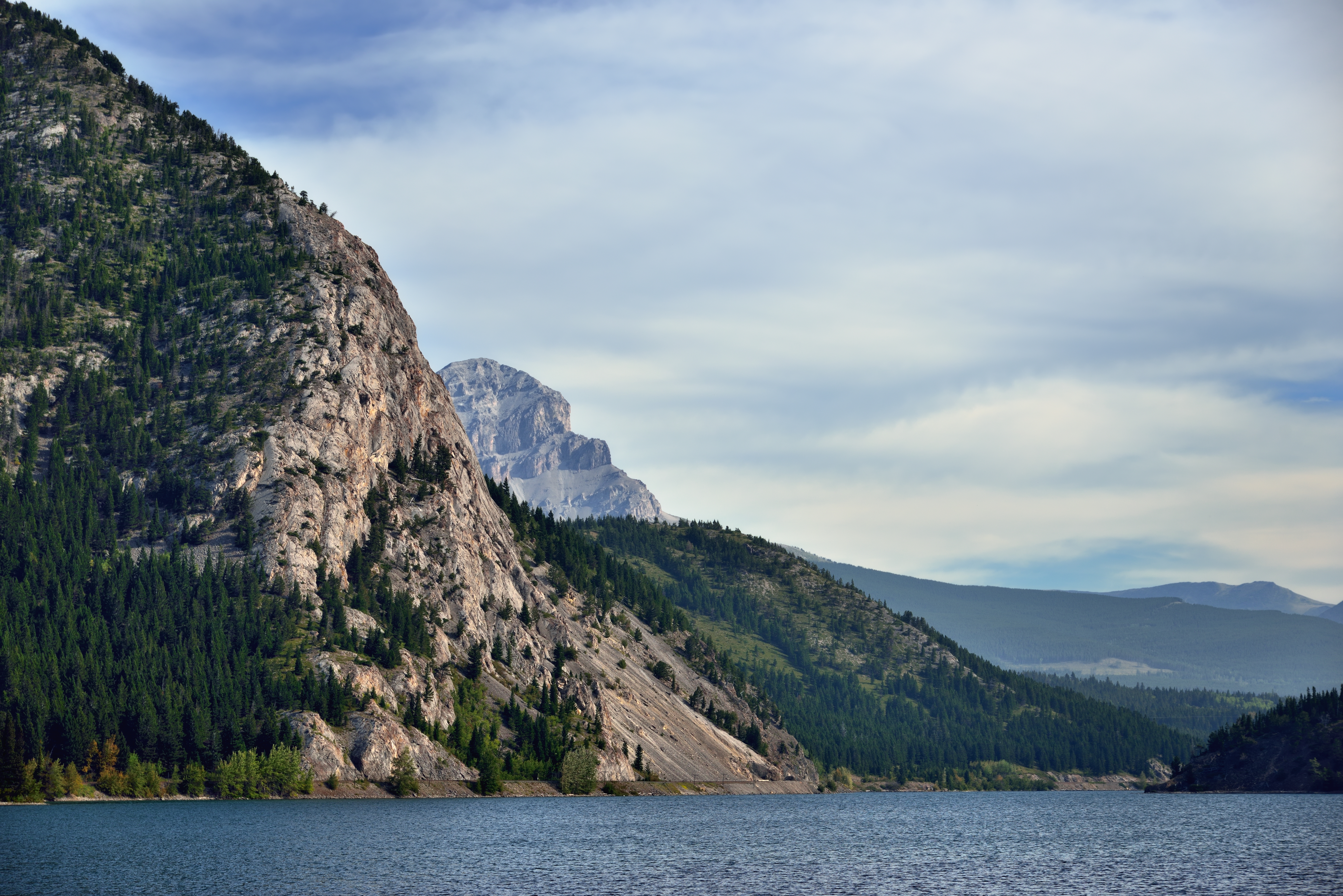
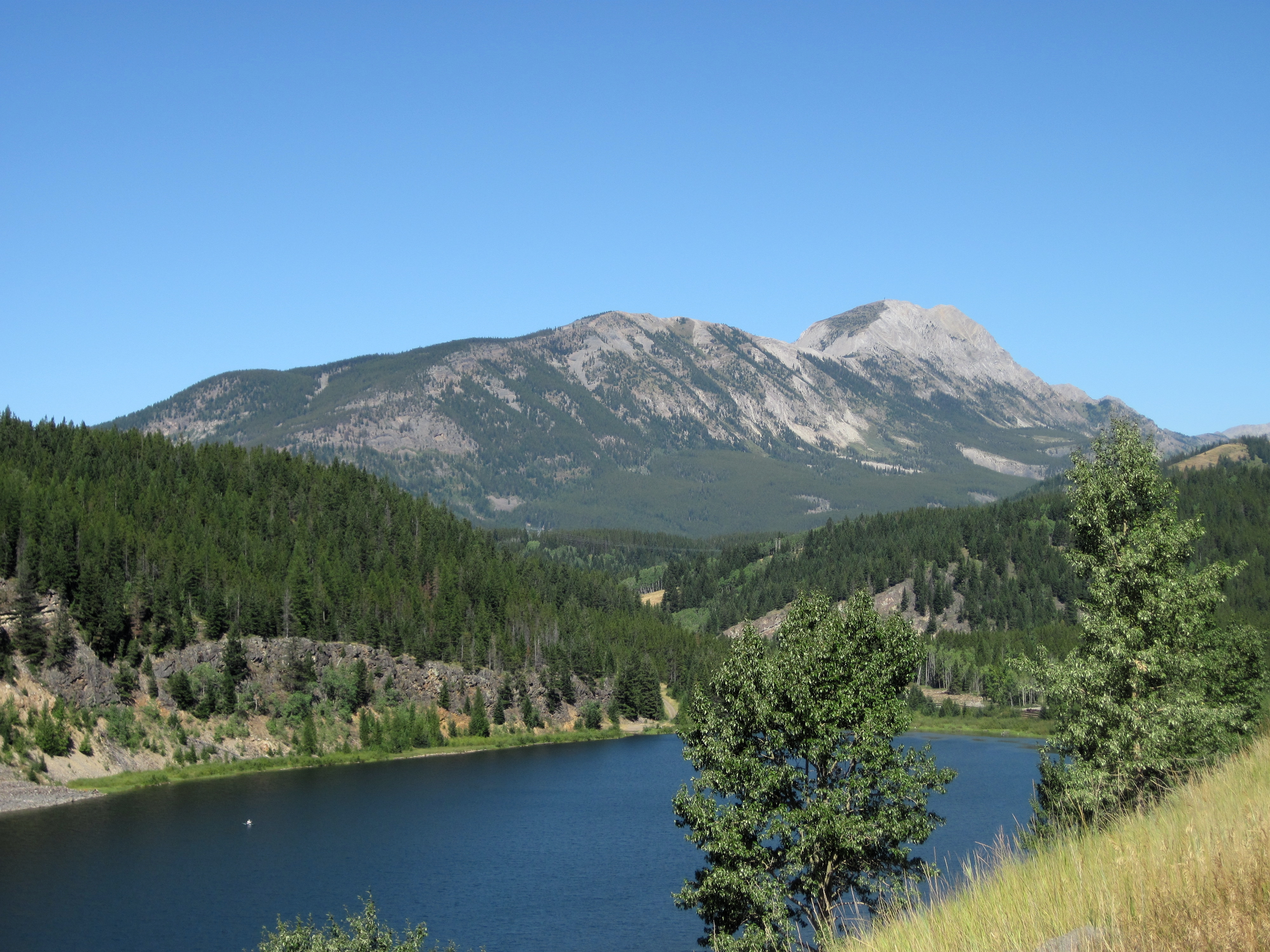
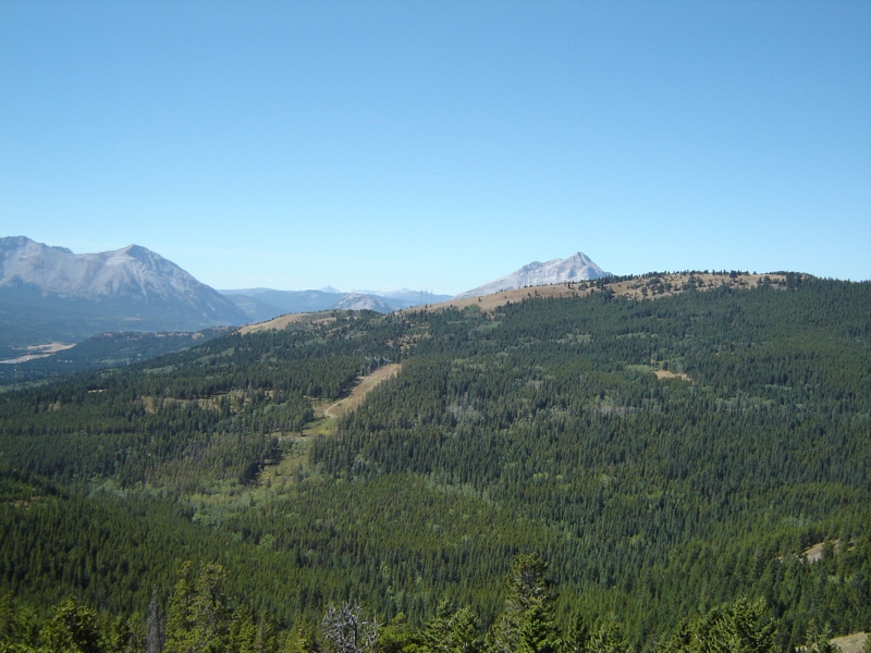
Crowsnest Lake and Ridge

Summit Lake and a View to Mount Washburn
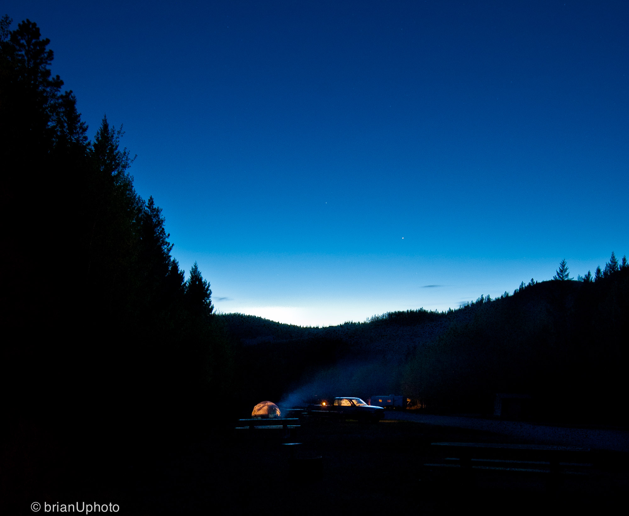
Home is wherever I’m with you

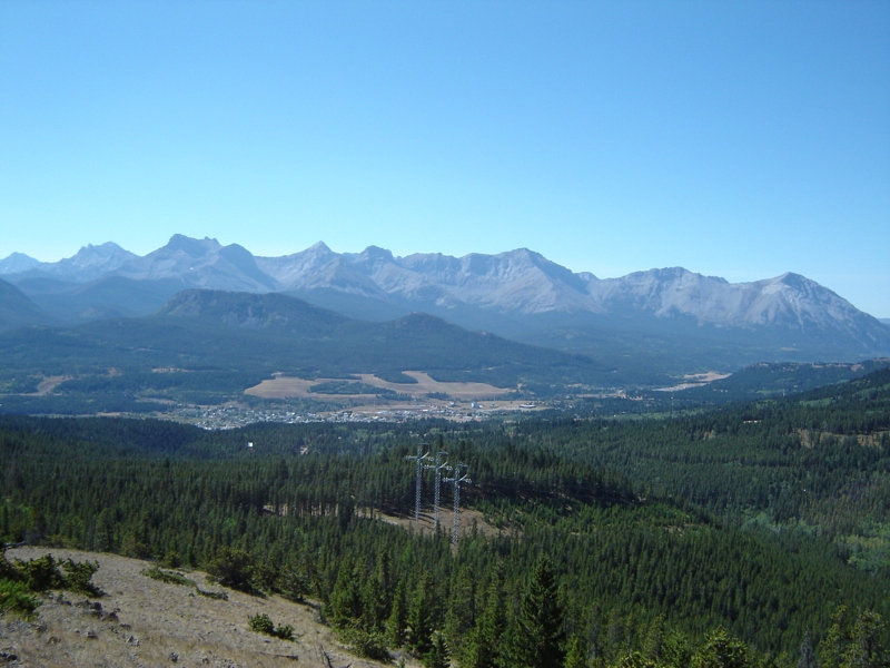
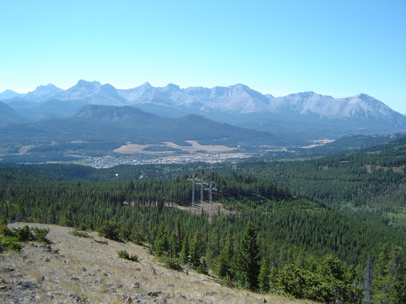
view of coleman
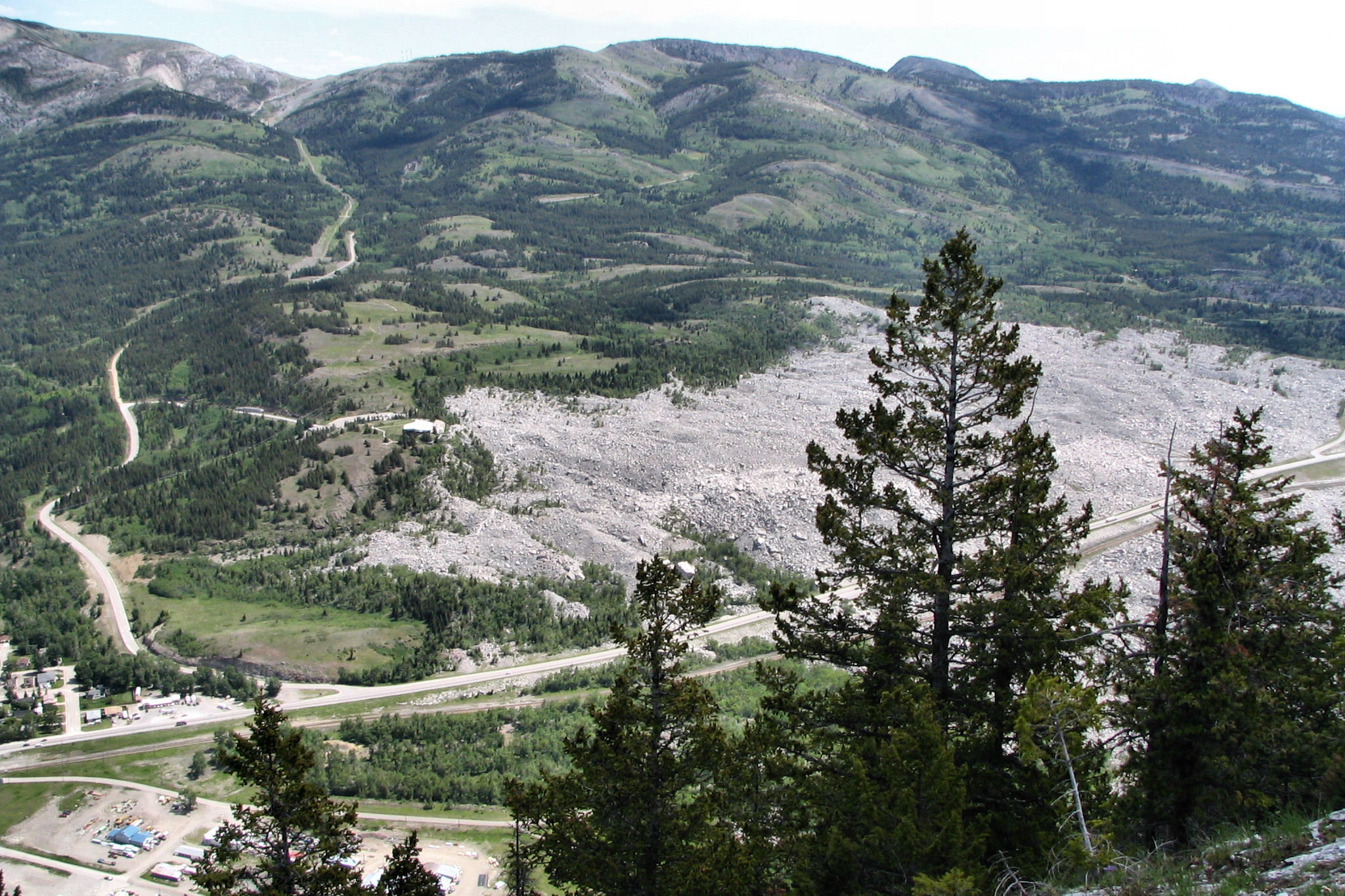
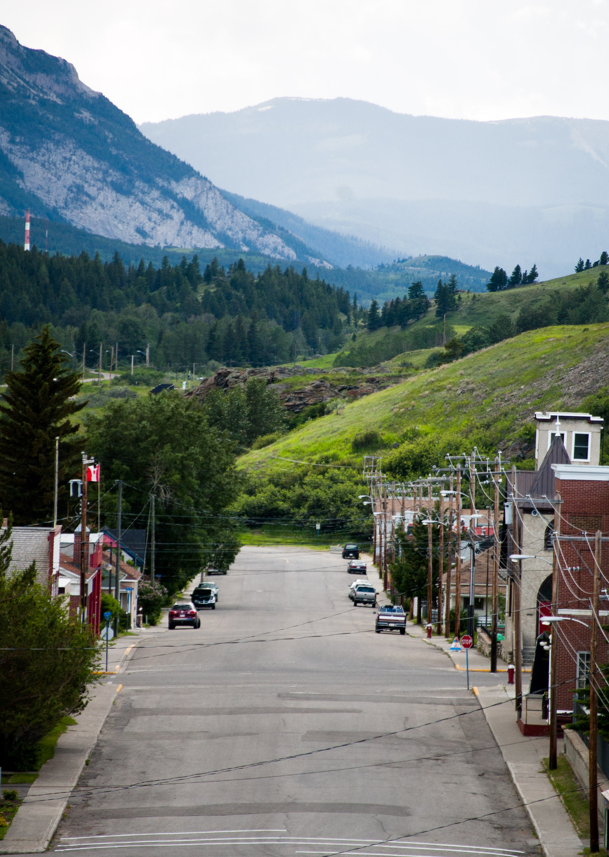
First View of Frank Slide Area
DSC02174.JPG
DSC02171.JPG
DSC02170.JPG
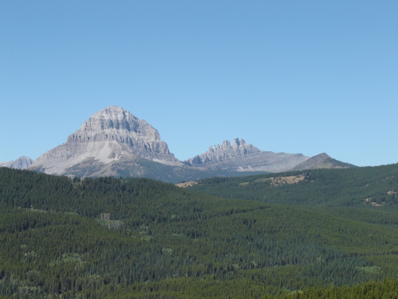
Mount Erickson
view of coleman
DSC02175.JPG
Topographic Map of Mount Coulthard, East Kootenay A, BC V0B, Canada
Find elevation by address:

Places near Mount Coulthard, East Kootenay A, BC V0B, Canada:
Andy Good Peak
Mount Parrish
Mount Mclaren
Ptolemy Se5
Chinook Peak
Mount Ptolemy
Crowsnest Range
Crowsnest Pass
Darrah N2
Mount Sentry
21 Ave, Coleman, AB T0K 0M0, Canada
Mount Darrah
Allison Creek Road
5910 22 Ave
Darrah Sw1
Coleman
Darrah S2
Crowsnest Ridge
Darrah Se4
Island Ridge
Recent Searches:
- Elevation of Corso Fratelli Cairoli, 35, Macerata MC, Italy
- Elevation of Tallevast Rd, Sarasota, FL, USA
- Elevation of 4th St E, Sonoma, CA, USA
- Elevation of Black Hollow Rd, Pennsdale, PA, USA
- Elevation of Oakland Ave, Williamsport, PA, USA
- Elevation of Pedrógão Grande, Portugal
- Elevation of Klee Dr, Martinsburg, WV, USA
- Elevation of Via Roma, Pieranica CR, Italy
- Elevation of Tavkvetili Mountain, Georgia
- Elevation of Hartfords Bluff Cir, Mt Pleasant, SC, USA