Elevation of Conejos County, CO, USA
Location: United States > Colorado >
Longitude: -106.25221
Latitude: 37.2689711
Elevation: 2650m / 8694feet
Barometric Pressure: 73KPa
Elevation Map:
Satellite Map:
Related Photos:

Patterns of Clouds off and Airplane Wing
A Chombo-eye view...
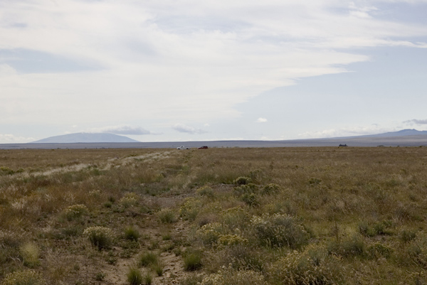
Cars in distance

On County Rd AA
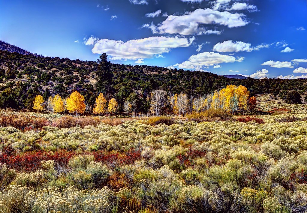
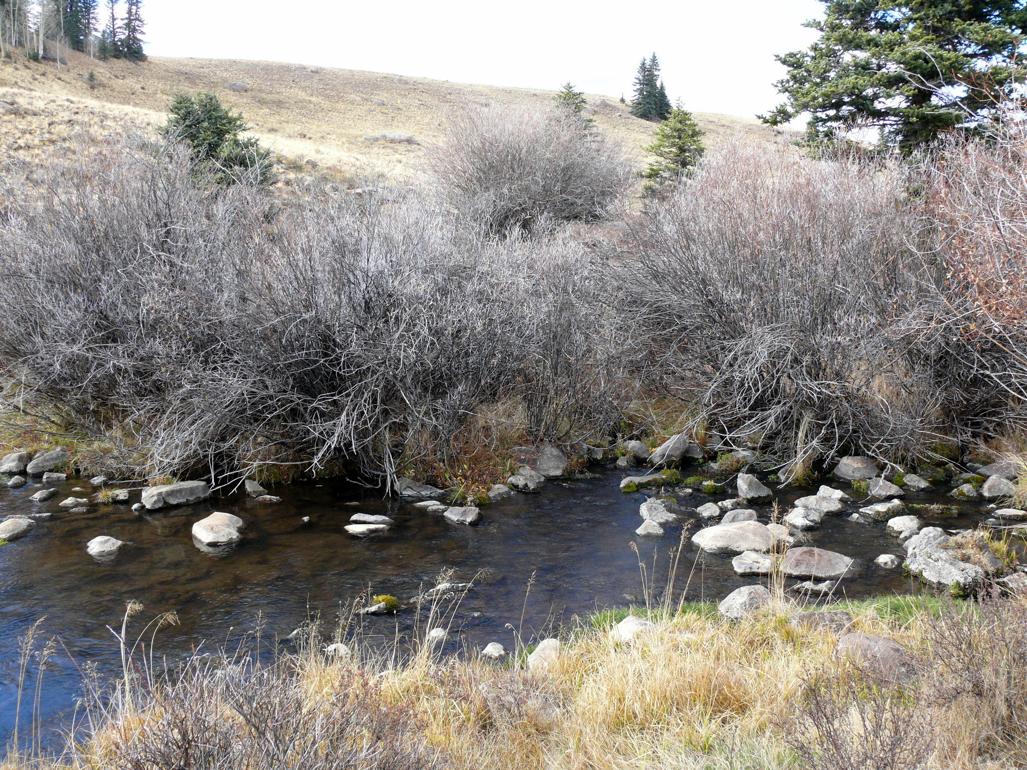
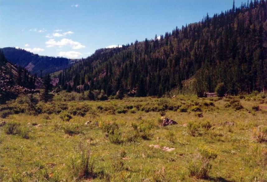
Colorful riparian area
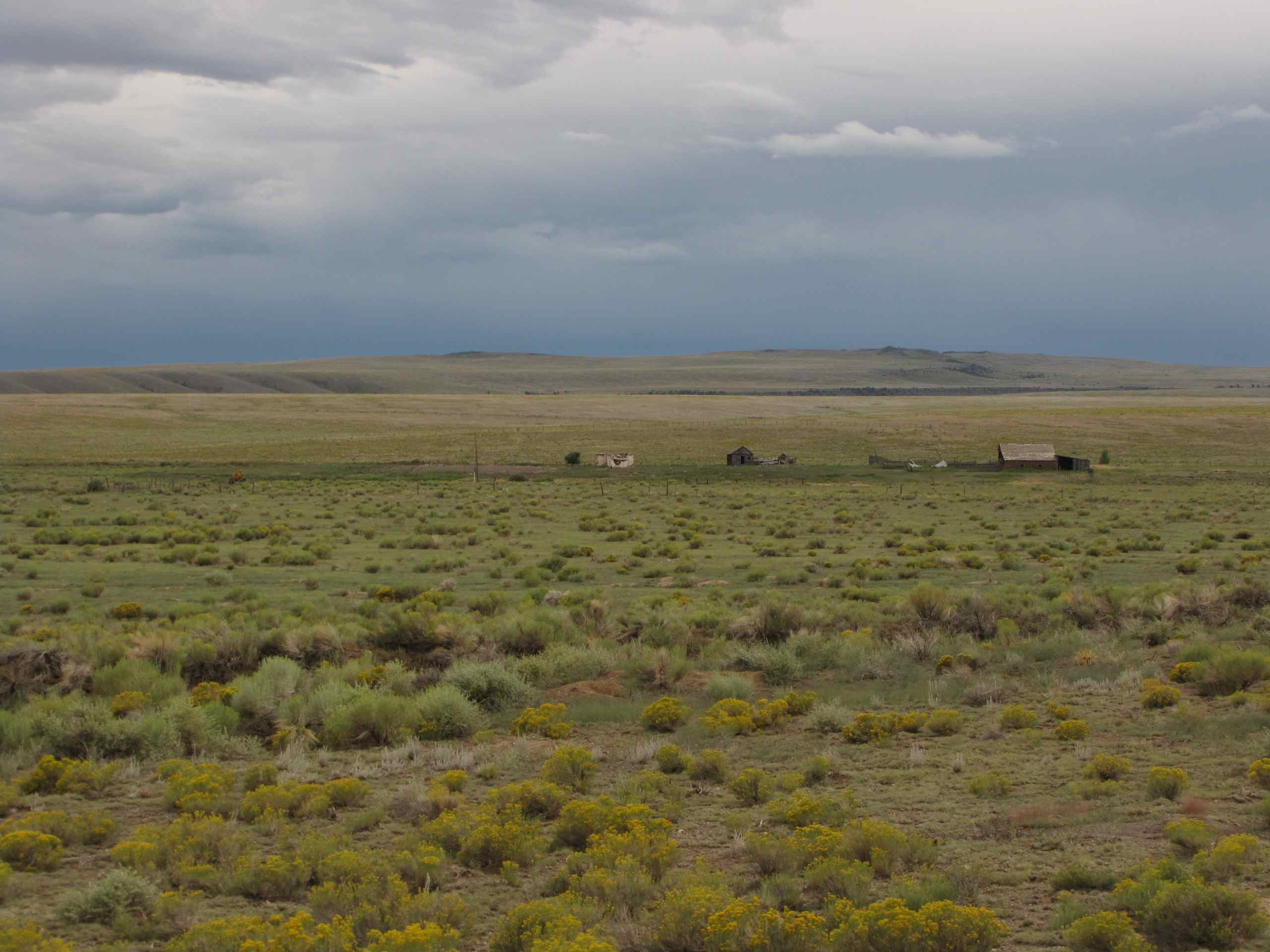
Old Ranch; W of La Jara, CO
Pedrosa Creek emerging from underground
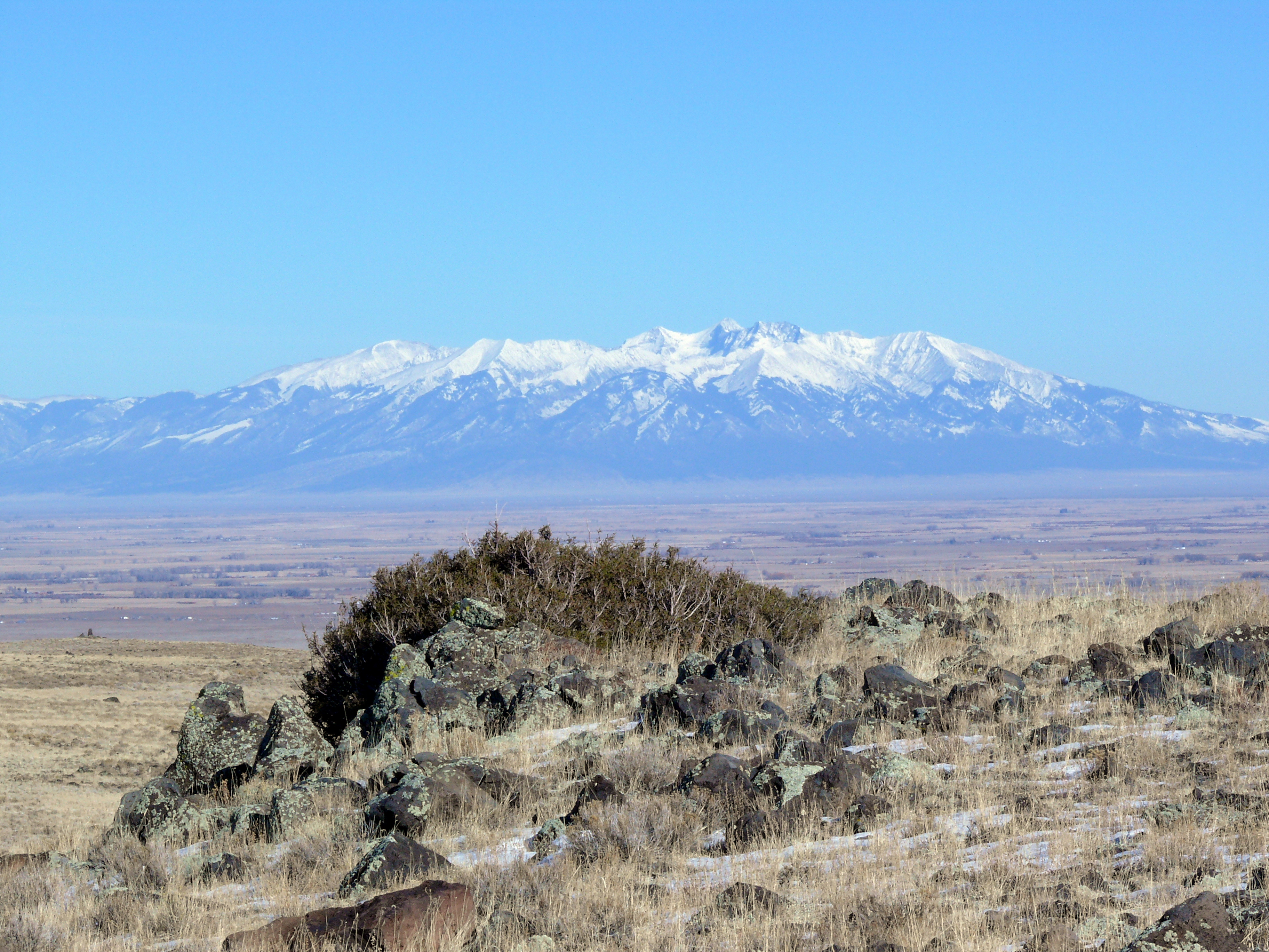
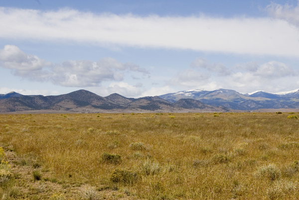
Mt. Blanca and the San Luis Valley
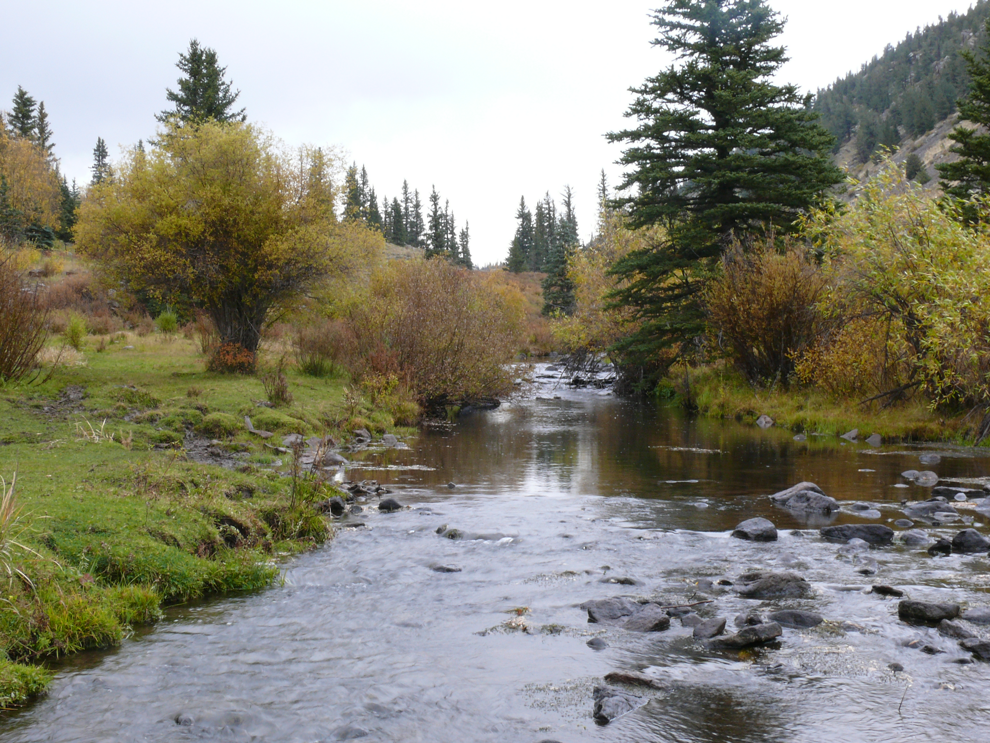
Autumn Along La Jara Creek
Back to the Valley
more west
La Jara Canyon August, 1998
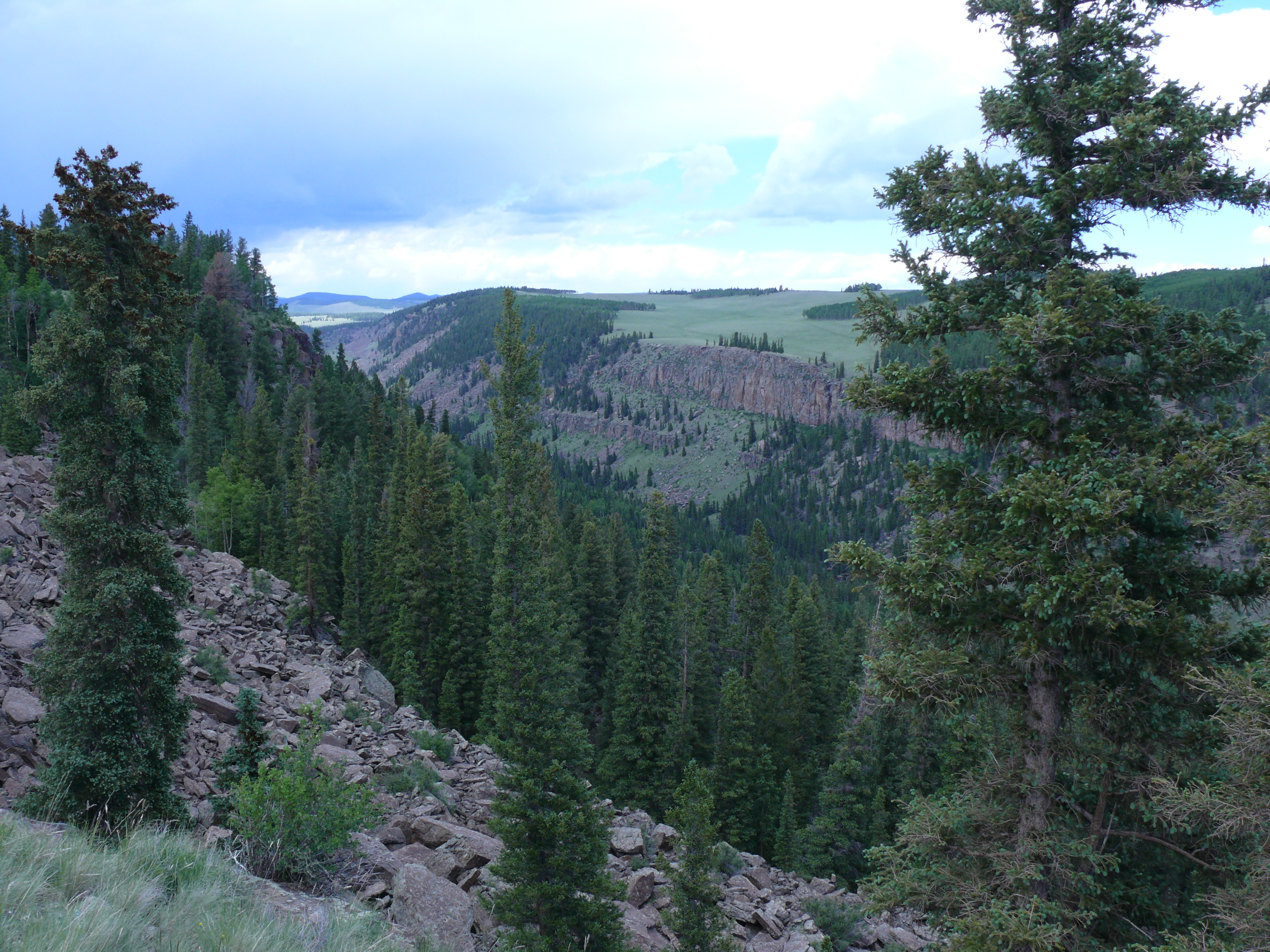
La Jara Canyon

Spring Runoff in the Upper La Jara Canyon
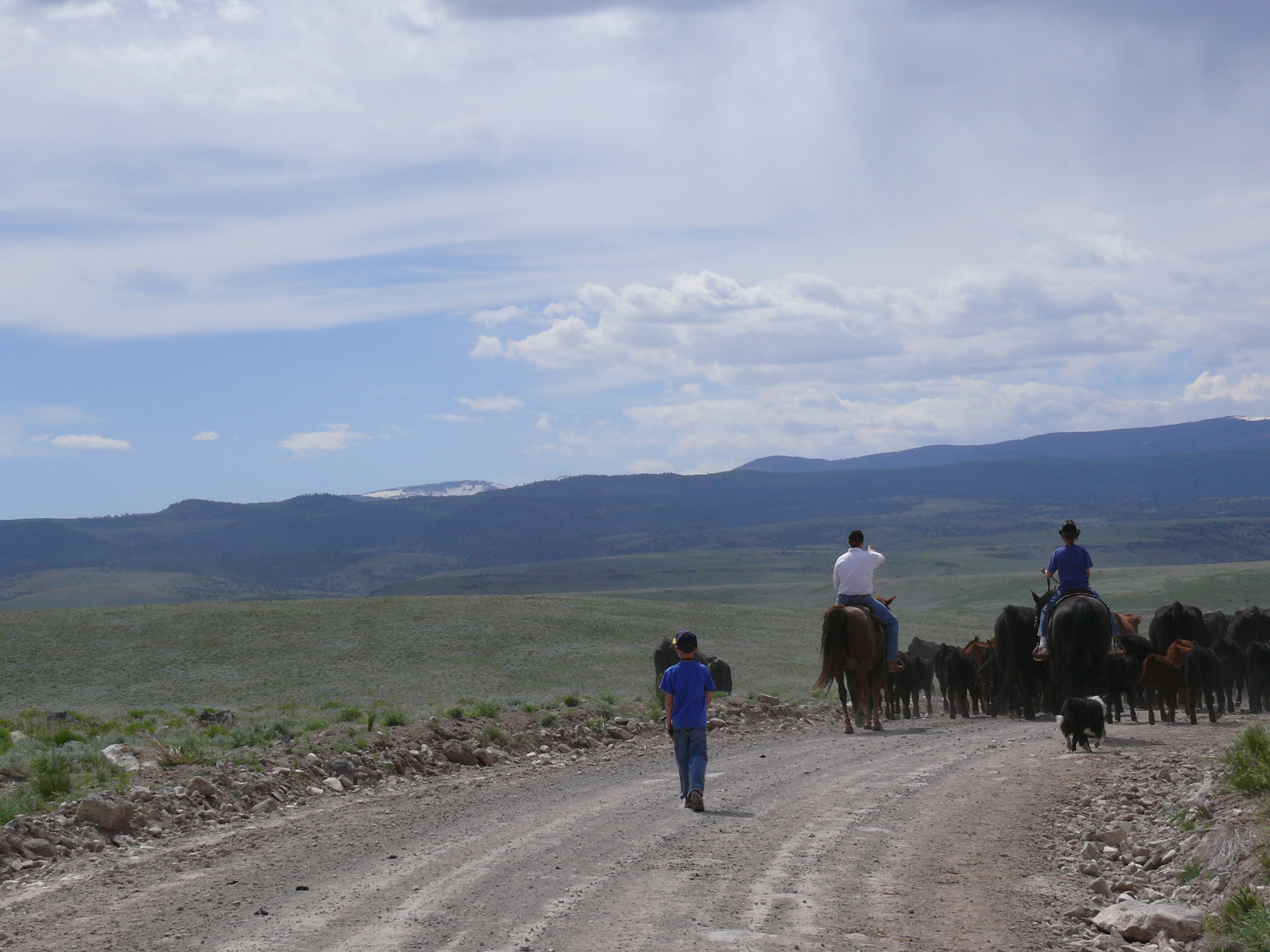
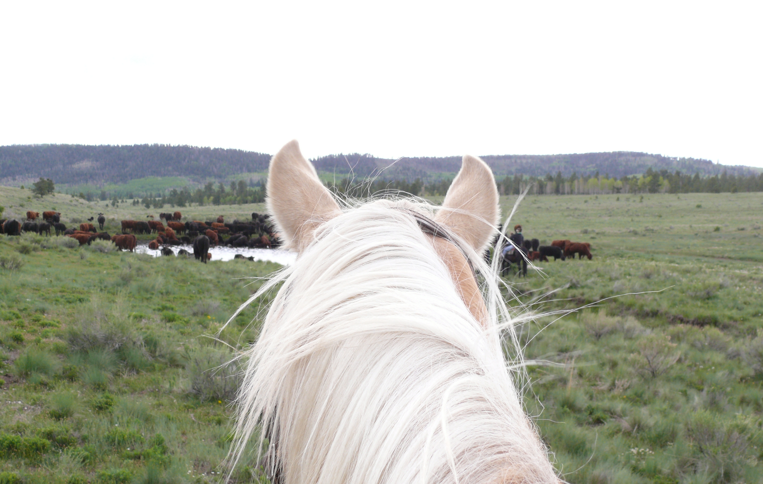
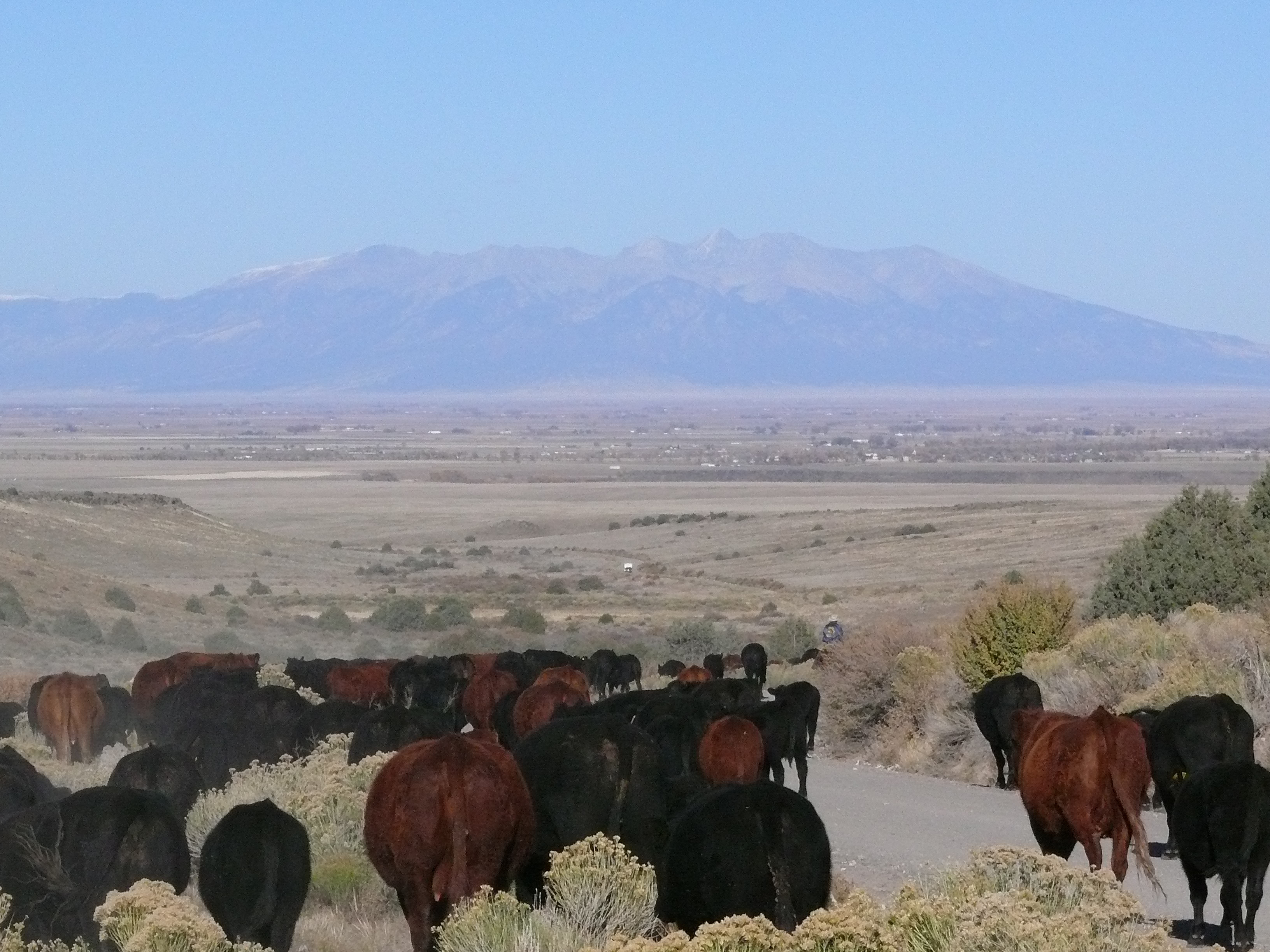
Cattle Drive
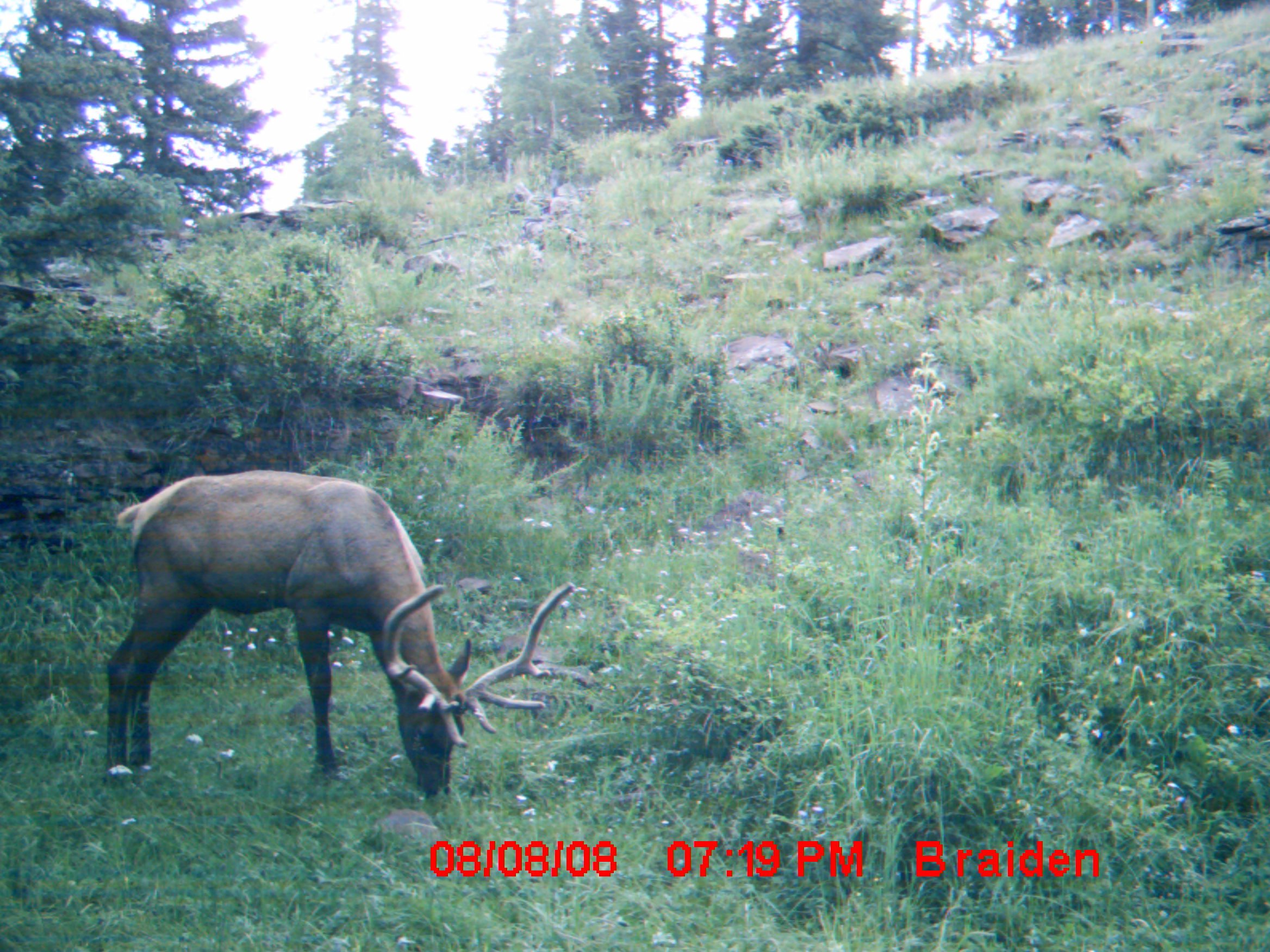
Remote game camera photo of a bull elk
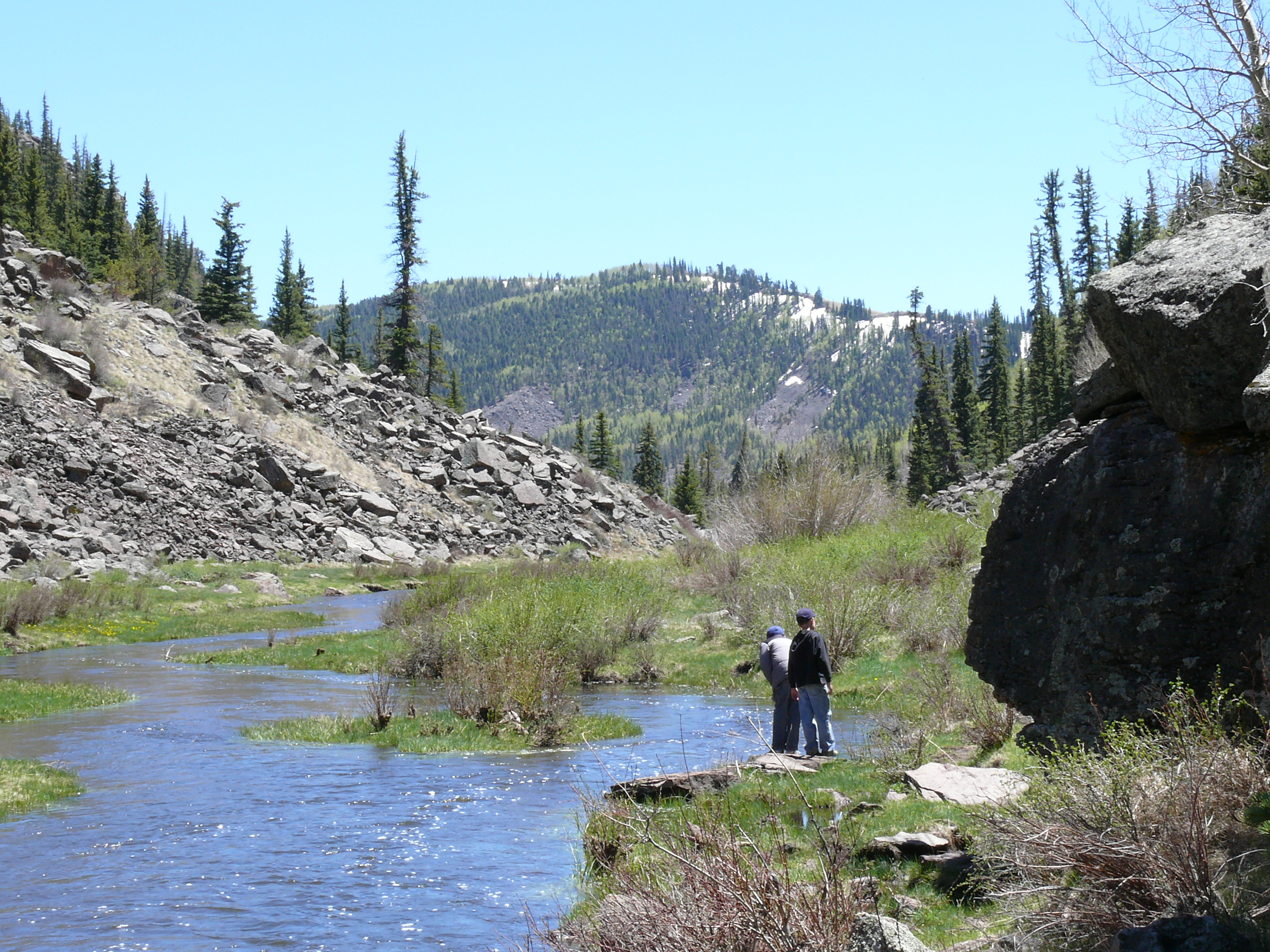
Spring Runoff in the Upper La Jara Canyon
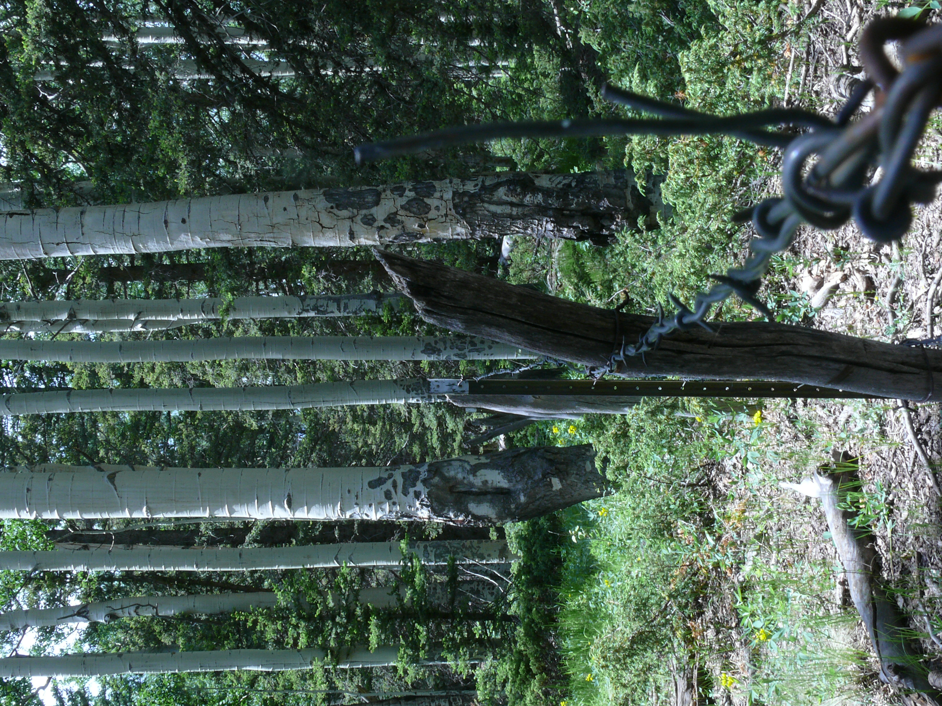
Fox Creek Fence Line
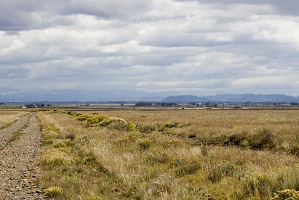
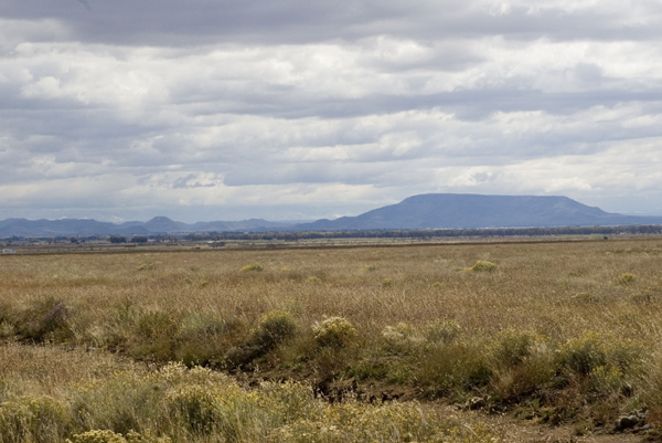
east from rd aa
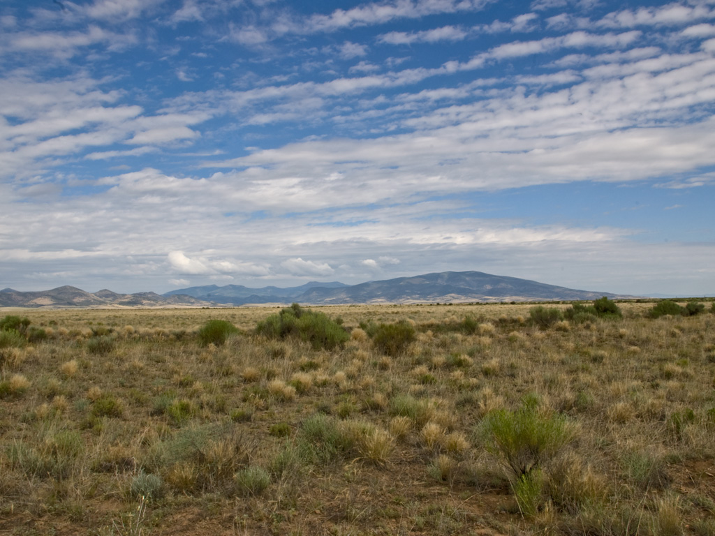
NW from my land
se from road aa

Cattle drive into the La Jara Canyon

La Jara Canyon, looking north
Topographic Map of Conejos County, CO, USA
Find elevation by address:

Places in Conejos County, CO, USA:
Places near Conejos County, CO, USA:
Jacobs Hill
Chiquito Peak
Co Rd 8, Capulin, CO, USA
Capulin
Alamosa Campground
Green Ridge
Willow Mountain
Lion Point
Colorado 17
Deer Park
Clarke Mountain Road
Clarke Mountain Road
Red Mountain
481 Massey Creek Rd
1615 Clarke Mountain Ln
Los Mogotes
Co Rd F, Antonito, CO, USA
Rock Creek Park
North Riverview Road
South Riverview Road
Recent Searches:
- Elevation of Corso Fratelli Cairoli, 35, Macerata MC, Italy
- Elevation of Tallevast Rd, Sarasota, FL, USA
- Elevation of 4th St E, Sonoma, CA, USA
- Elevation of Black Hollow Rd, Pennsdale, PA, USA
- Elevation of Oakland Ave, Williamsport, PA, USA
- Elevation of Pedrógão Grande, Portugal
- Elevation of Klee Dr, Martinsburg, WV, USA
- Elevation of Via Roma, Pieranica CR, Italy
- Elevation of Tavkvetili Mountain, Georgia
- Elevation of Hartfords Bluff Cir, Mt Pleasant, SC, USA