Elevation of Alamosa Campground, Fdr, La Jara, CO, United States
Location: United States > Colorado > La Jara >
Longitude: -106.34373
Latitude: 37.379647
Elevation: 2633m / 8638feet
Barometric Pressure: 73KPa
Elevation Map:
Satellite Map:
Related Photos:
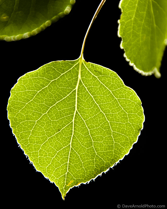
The Aspen exam
Topographic Map of Alamosa Campground, Fdr, La Jara, CO, United States
Find elevation by address:

Places near Alamosa Campground, Fdr, La Jara, CO, United States:
Lion Point
Jacobs Hill
Green Ridge
Rock Creek Campground
Willow Mountain
Red Mountain
Chiquito Peak
Windy Mountain
Rock Creek Park
Jasper
Pintada Mountain
Conejos County
Lake Fork Campground
983 Rimrock Cir
Co Rd 13, Del Norte, CO, USA
Horseshoe Mountain
Telluride Mountain
Pinon Valley Road
250 Antelope Trail
North Riverview Road
Recent Searches:
- Elevation of Corso Fratelli Cairoli, 35, Macerata MC, Italy
- Elevation of Tallevast Rd, Sarasota, FL, USA
- Elevation of 4th St E, Sonoma, CA, USA
- Elevation of Black Hollow Rd, Pennsdale, PA, USA
- Elevation of Oakland Ave, Williamsport, PA, USA
- Elevation of Pedrógão Grande, Portugal
- Elevation of Klee Dr, Martinsburg, WV, USA
- Elevation of Via Roma, Pieranica CR, Italy
- Elevation of Tavkvetili Mountain, Georgia
- Elevation of Hartfords Bluff Cir, Mt Pleasant, SC, USA