Elevation of Jasper, CO, USA
Location: United States > Colorado > Del Norte >
Longitude: -106.46253
Latitude: 37.4177832
Elevation: 2779m / 9117feet
Barometric Pressure: 72KPa
Elevation Map:
Satellite Map:
Related Photos:
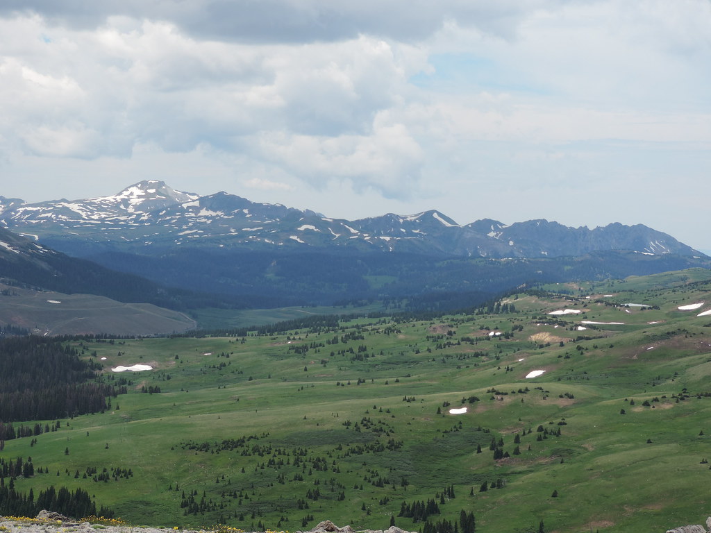
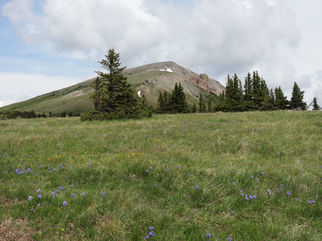
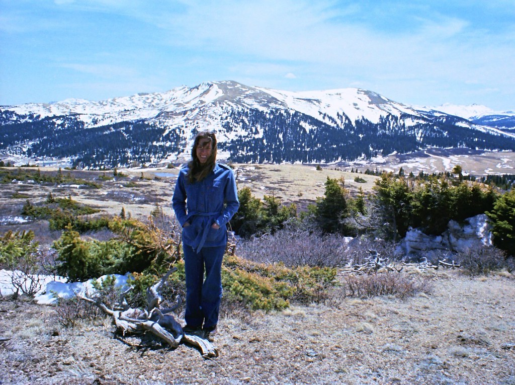
North Mountain view
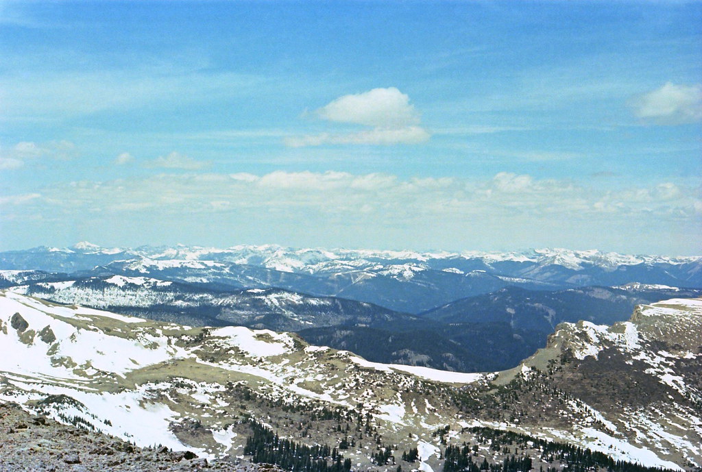
Distant snowy peaks
North Mountain clouds
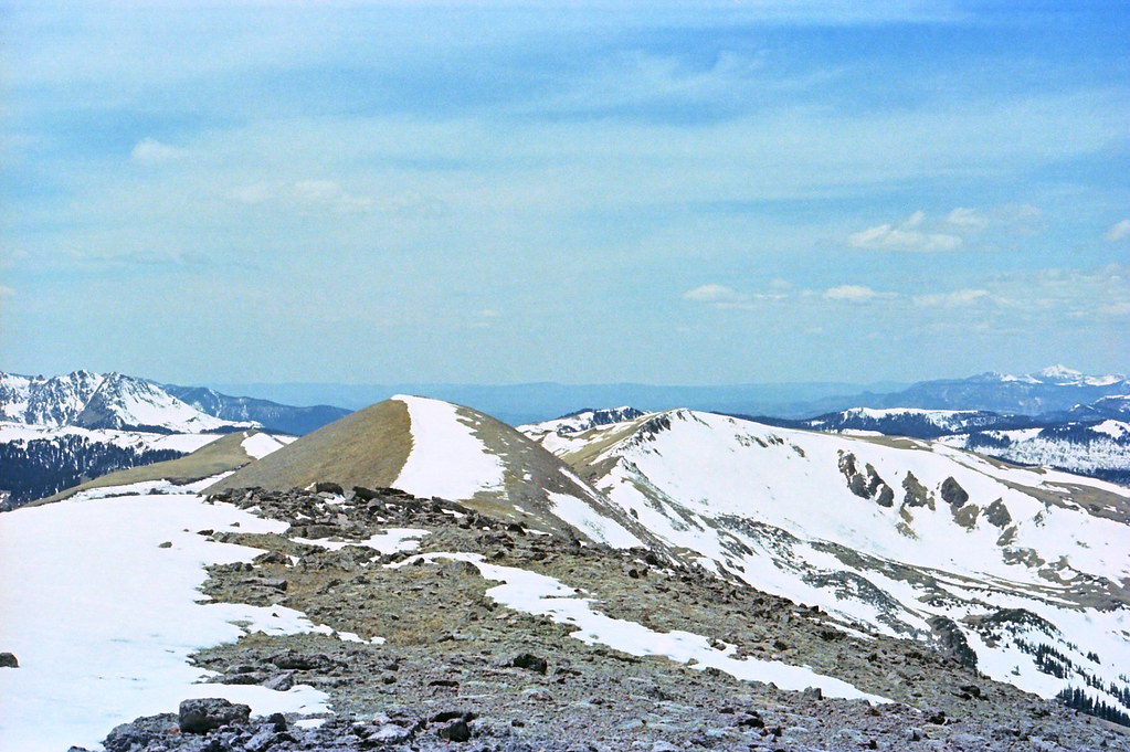
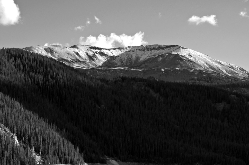
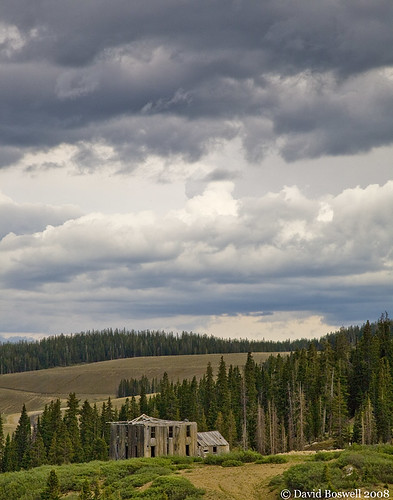
North Mountain
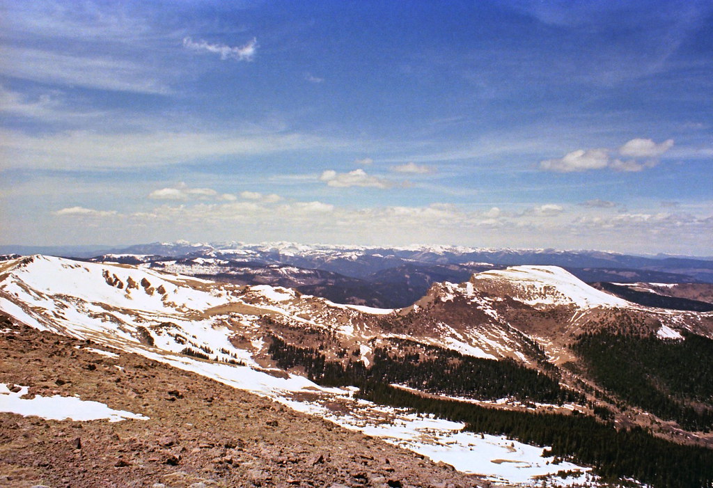
Distant Montezuma peak
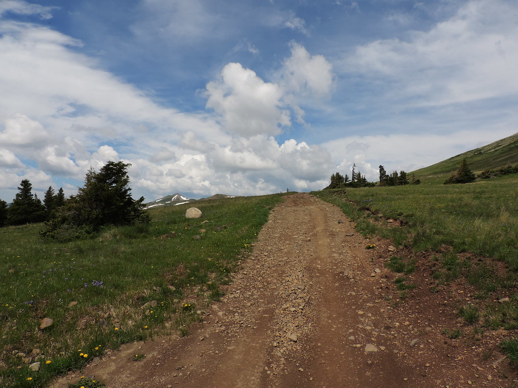
The road we hiked
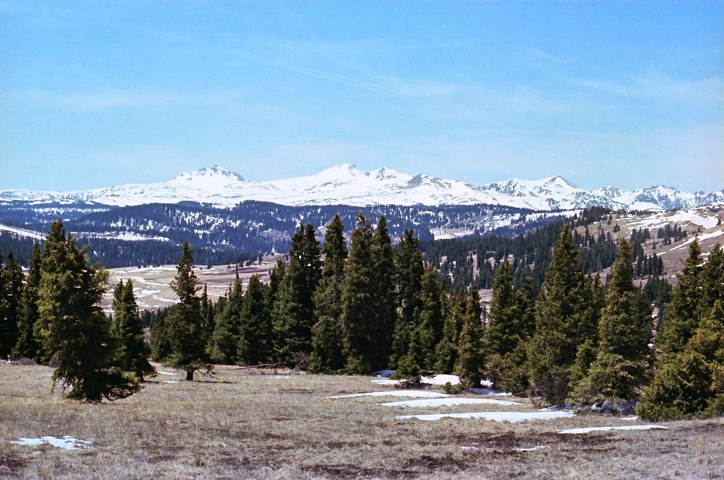
May mountains
Colorado peaks
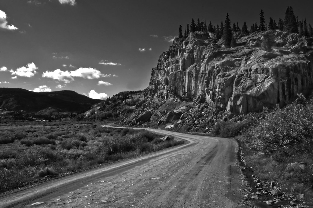
Rockface Road
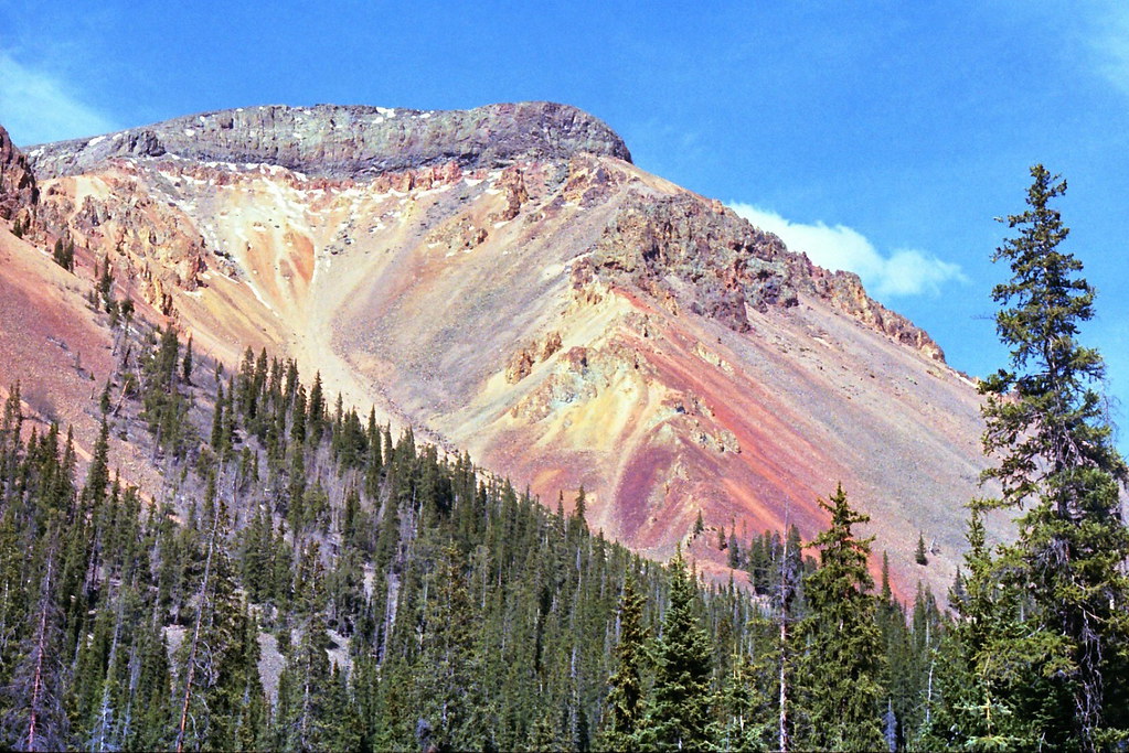
Montezuma Peak
North Mountain vista

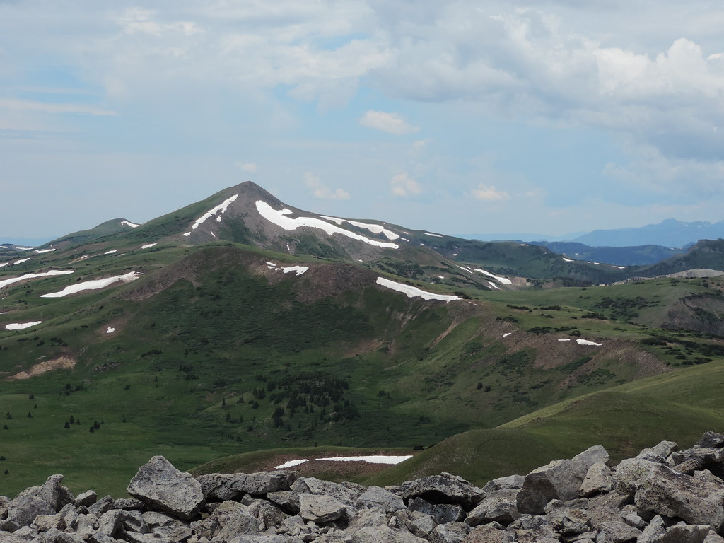
Grayback from North Mountain
Snowy view
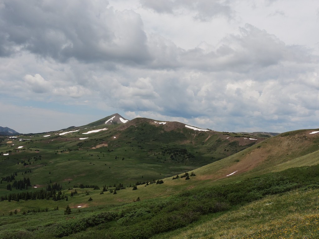
Grayback mountain
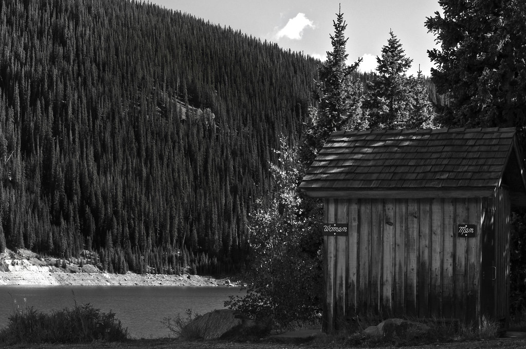
Men & Women
Lookout mountain

Parallel Lives
Summitville 7 HDR -6652_6654.jpg

Snowy horizon
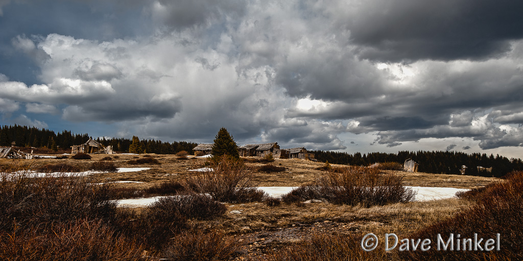
Passage of Time
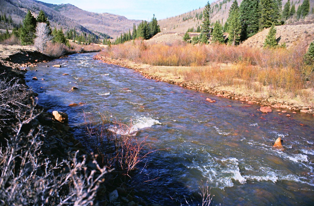
River rapids
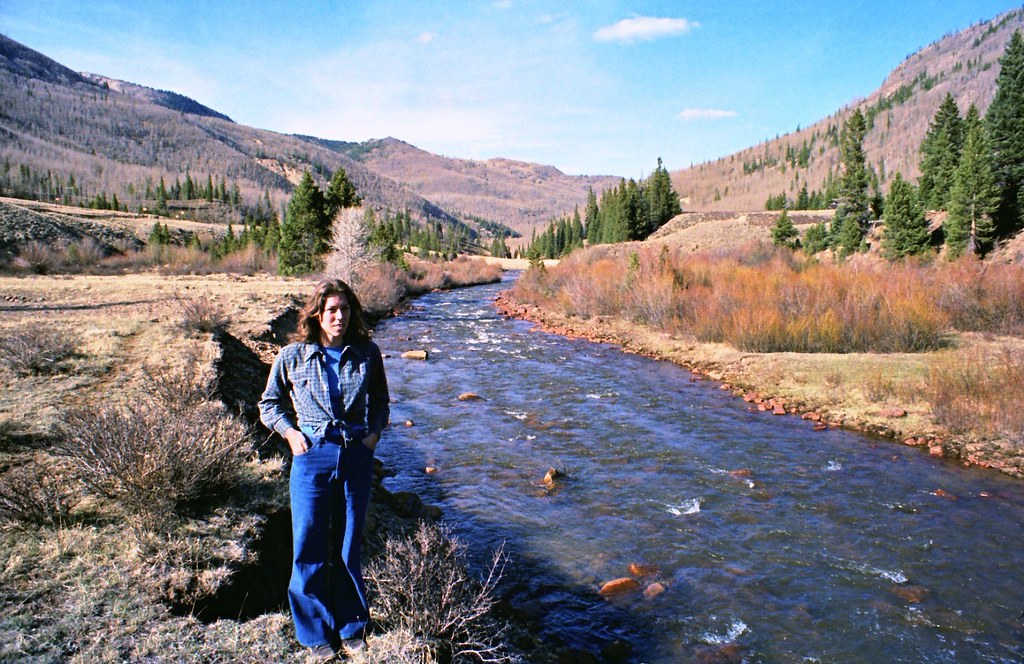
Donie by river
Grayback Mountain
Wind chill
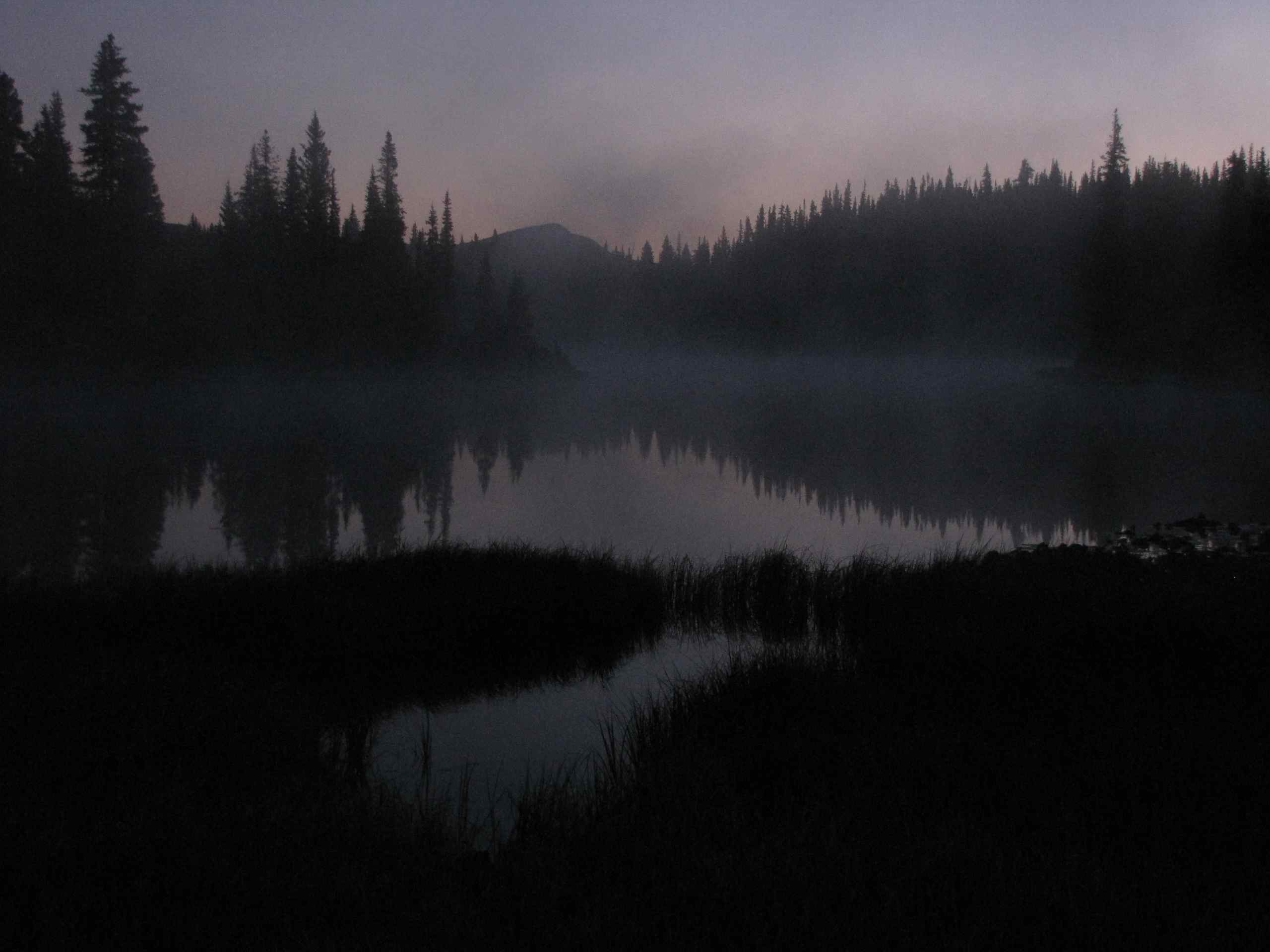
Lily Pond at dawn; W of Alamosa, CO
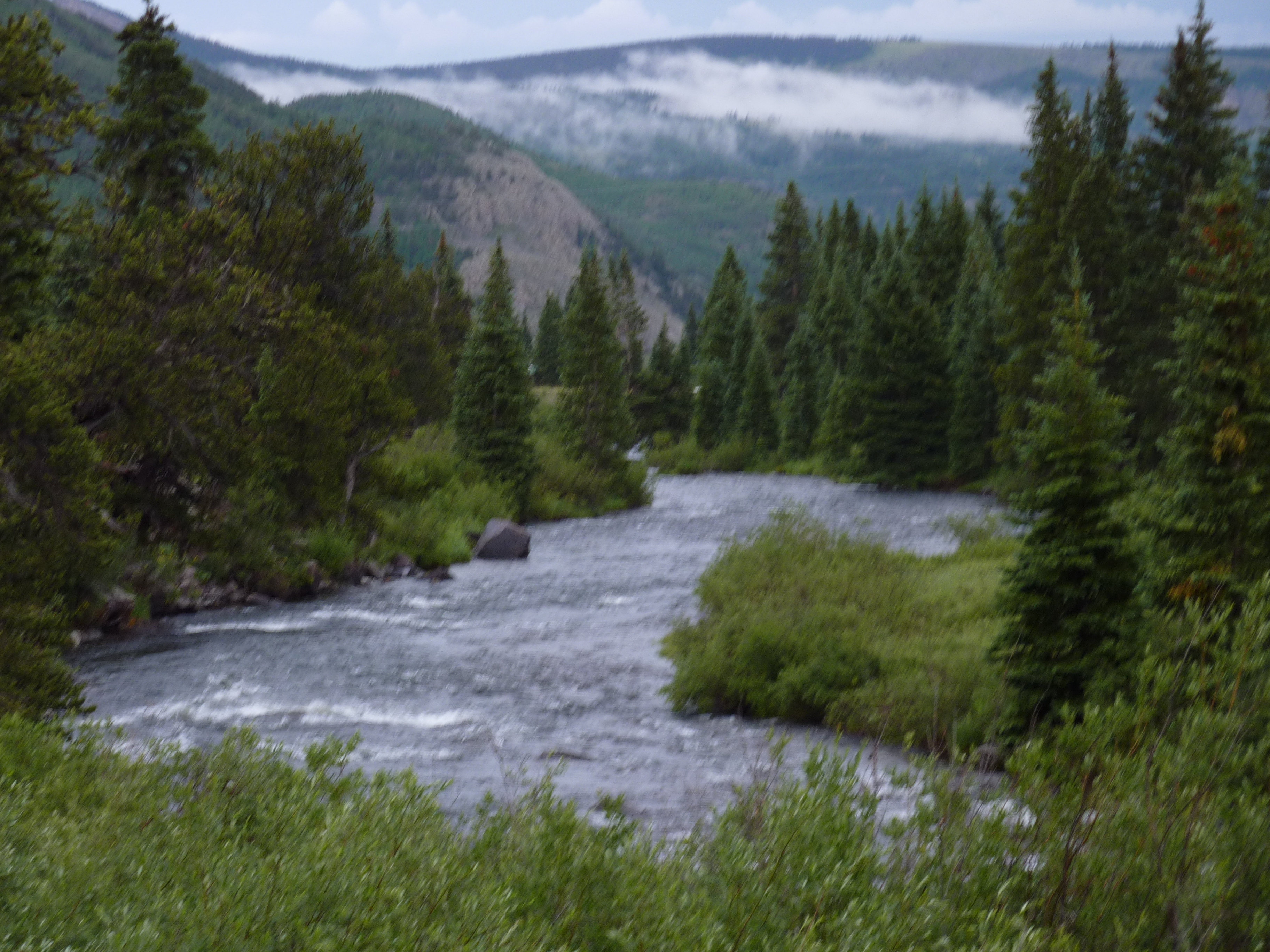
Conejos River, Platoro Colorado
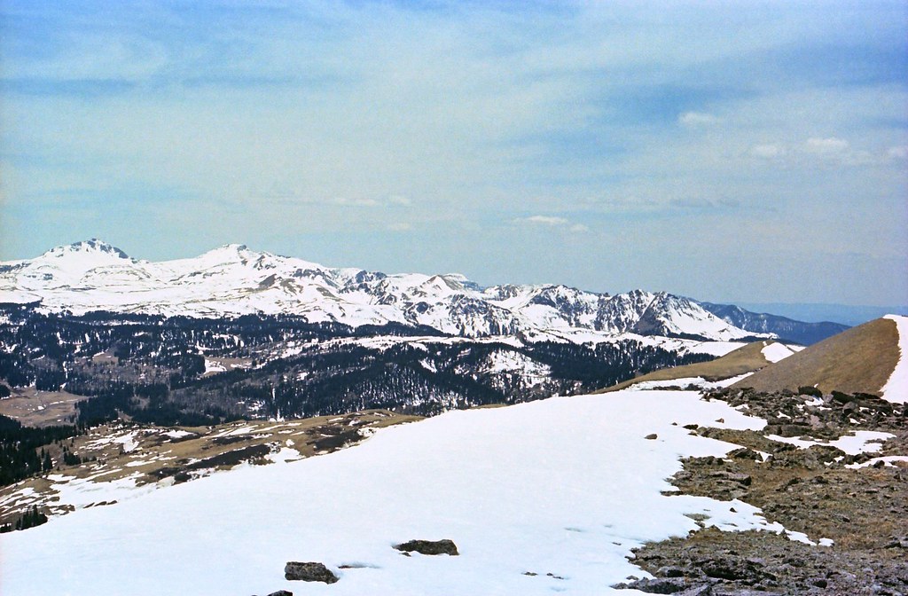
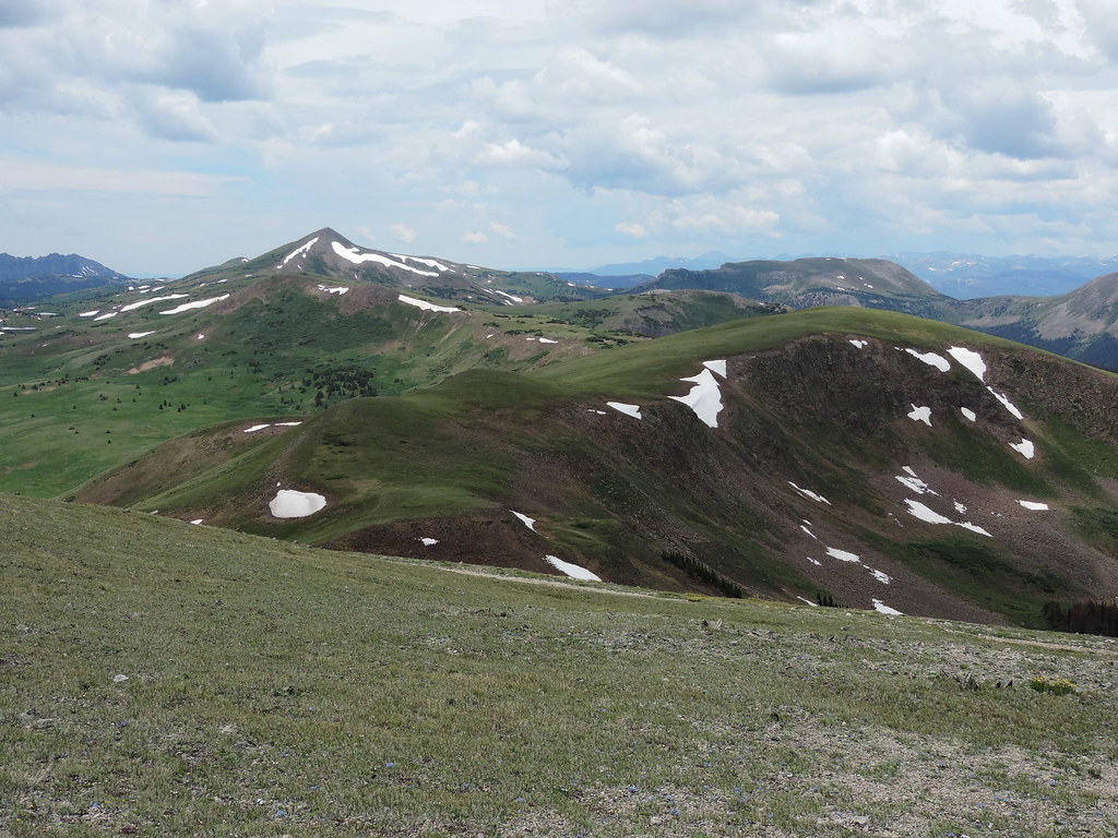
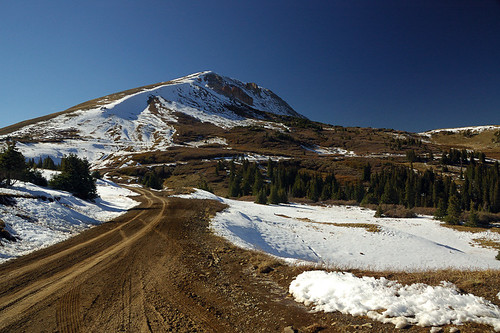
On top of the world
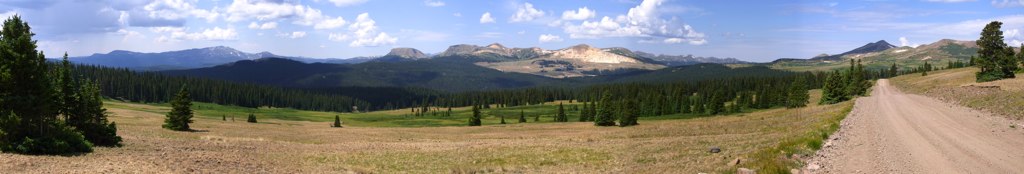
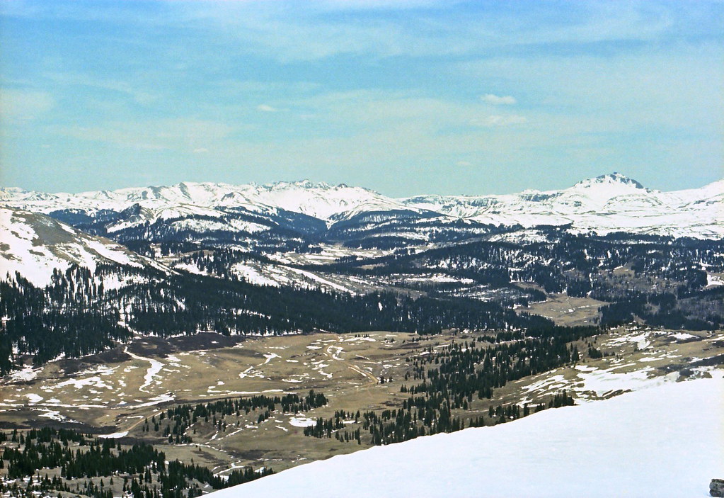
Indiana Pass Pano402-407
Topographic Map of Jasper, CO, USA
Find elevation by address:

Places near Jasper, CO, USA:
Red Mountain
Windy Mountain
Telluride Mountain
Willow Mountain
Pintada Mountain
Lake Fork Campground
Alamosa Campground
20422 Co Rd 14
20422 Co Rd 14
20422 Co Rd 14
Klondike Mountain
Lookout Mountain
Cropsy Mountain
Rock Creek Campground
Hogback Mesa South
Lion Point
North Mountain
Castle Rock Road
10665 Co Rd 14
1528 Yund Dr
Recent Searches:
- Elevation of Corso Fratelli Cairoli, 35, Macerata MC, Italy
- Elevation of Tallevast Rd, Sarasota, FL, USA
- Elevation of 4th St E, Sonoma, CA, USA
- Elevation of Black Hollow Rd, Pennsdale, PA, USA
- Elevation of Oakland Ave, Williamsport, PA, USA
- Elevation of Pedrógão Grande, Portugal
- Elevation of Klee Dr, Martinsburg, WV, USA
- Elevation of Via Roma, Pieranica CR, Italy
- Elevation of Tavkvetili Mountain, Georgia
- Elevation of Hartfords Bluff Cir, Mt Pleasant, SC, USA