Elevation of Co Rd 8, Capulin, CO, USA
Location: United States > Colorado > Conejos County > Capulin >
Longitude: -106.11168
Latitude: 37.2820649
Elevation: 2385m / 7825feet
Barometric Pressure: 76KPa
Elevation Map:
Satellite Map:
Related Photos:

Patterns of Clouds off and Airplane Wing

Treasure Bag - Open

Ear Cozies Hat - View 1

Donegal Chunky Tweed Sweater/Vest - Back View
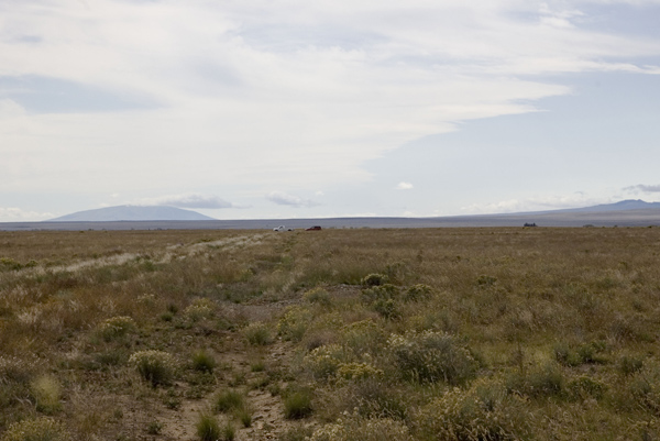
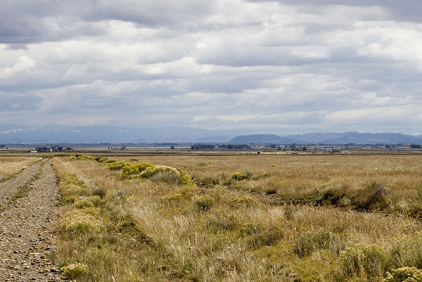
Cars in distance

Donegal Chunky Tweed Sweater/Vest - Side View
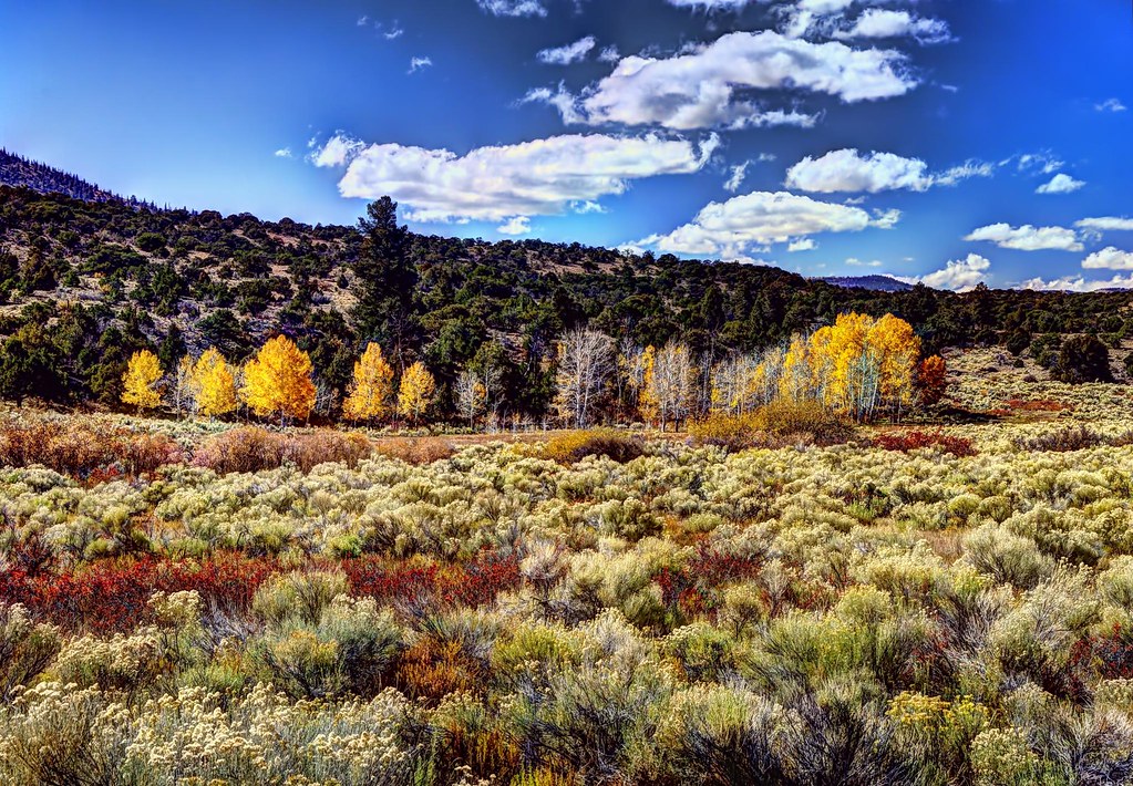
Colorful riparian area

Rio Grande Scenic Railroad
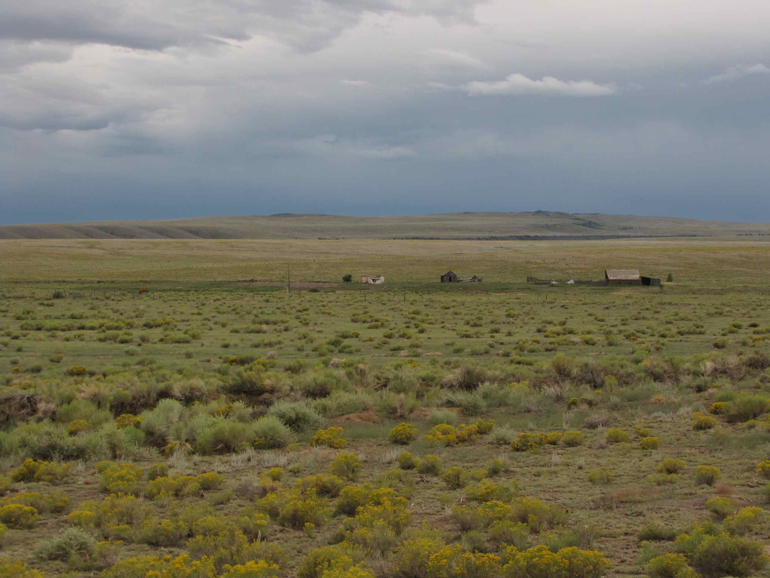
Old Ranch; W of La Jara, CO
Back to the Valley
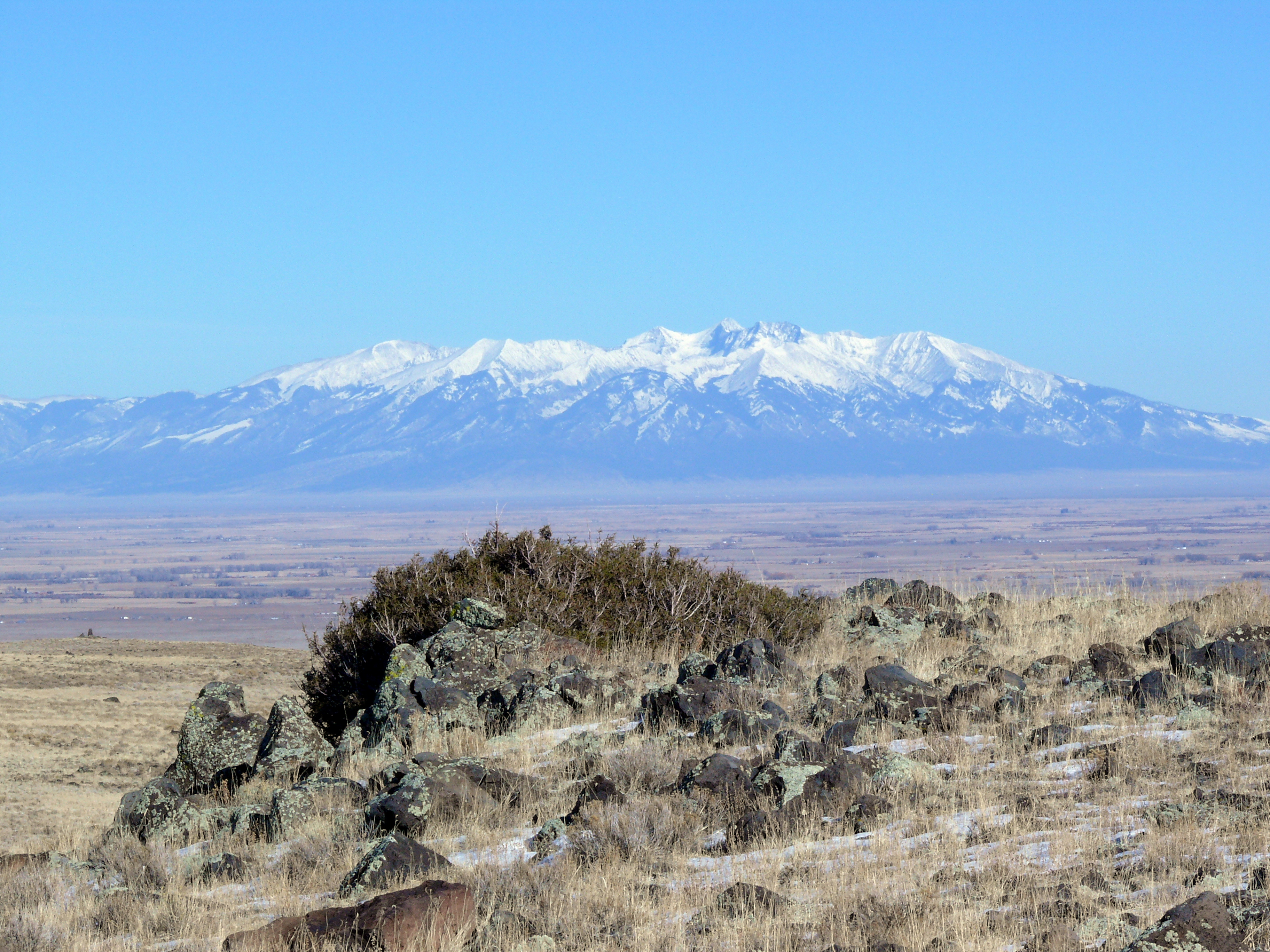
Mt. Blanca and the San Luis Valley
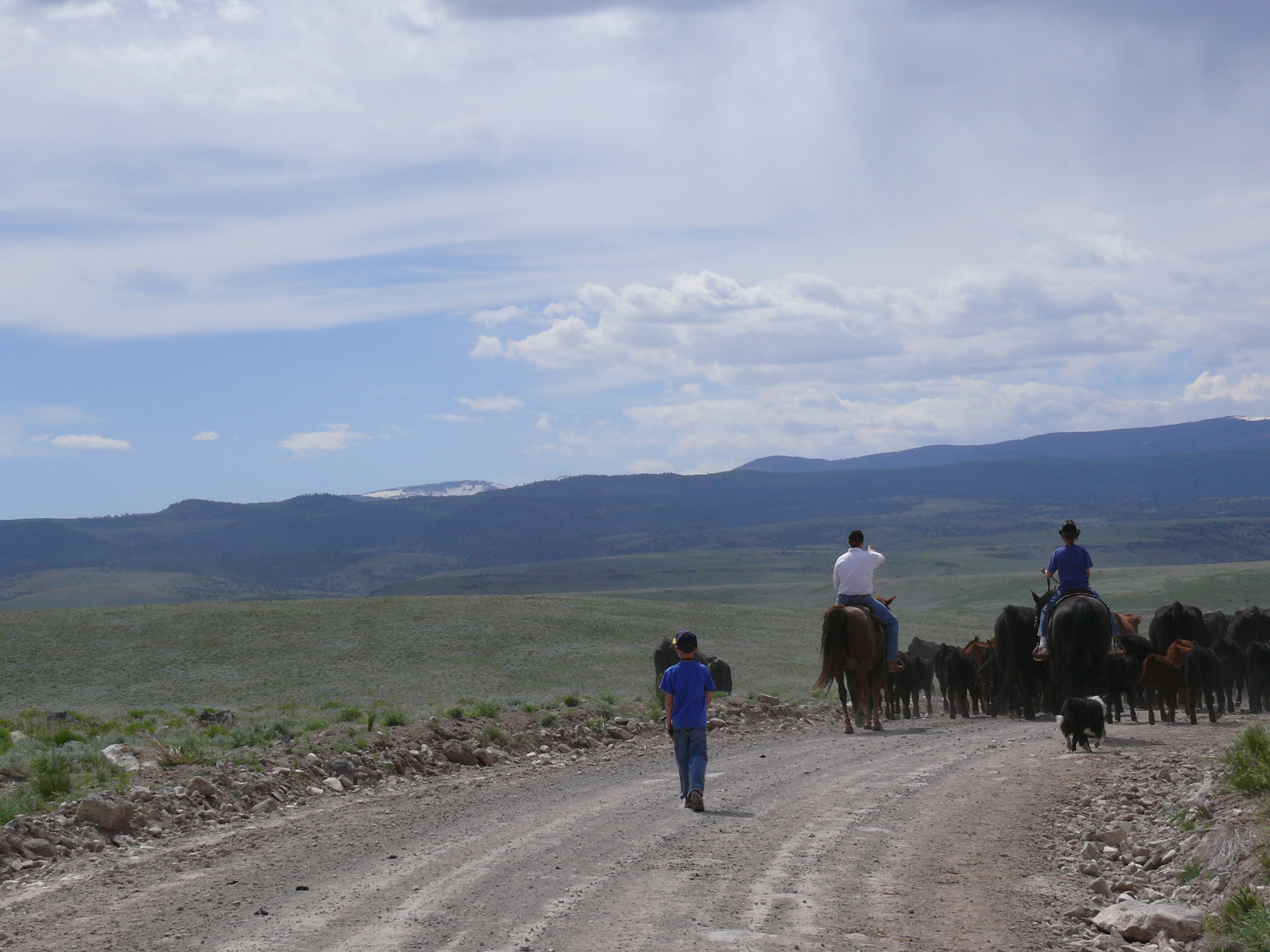
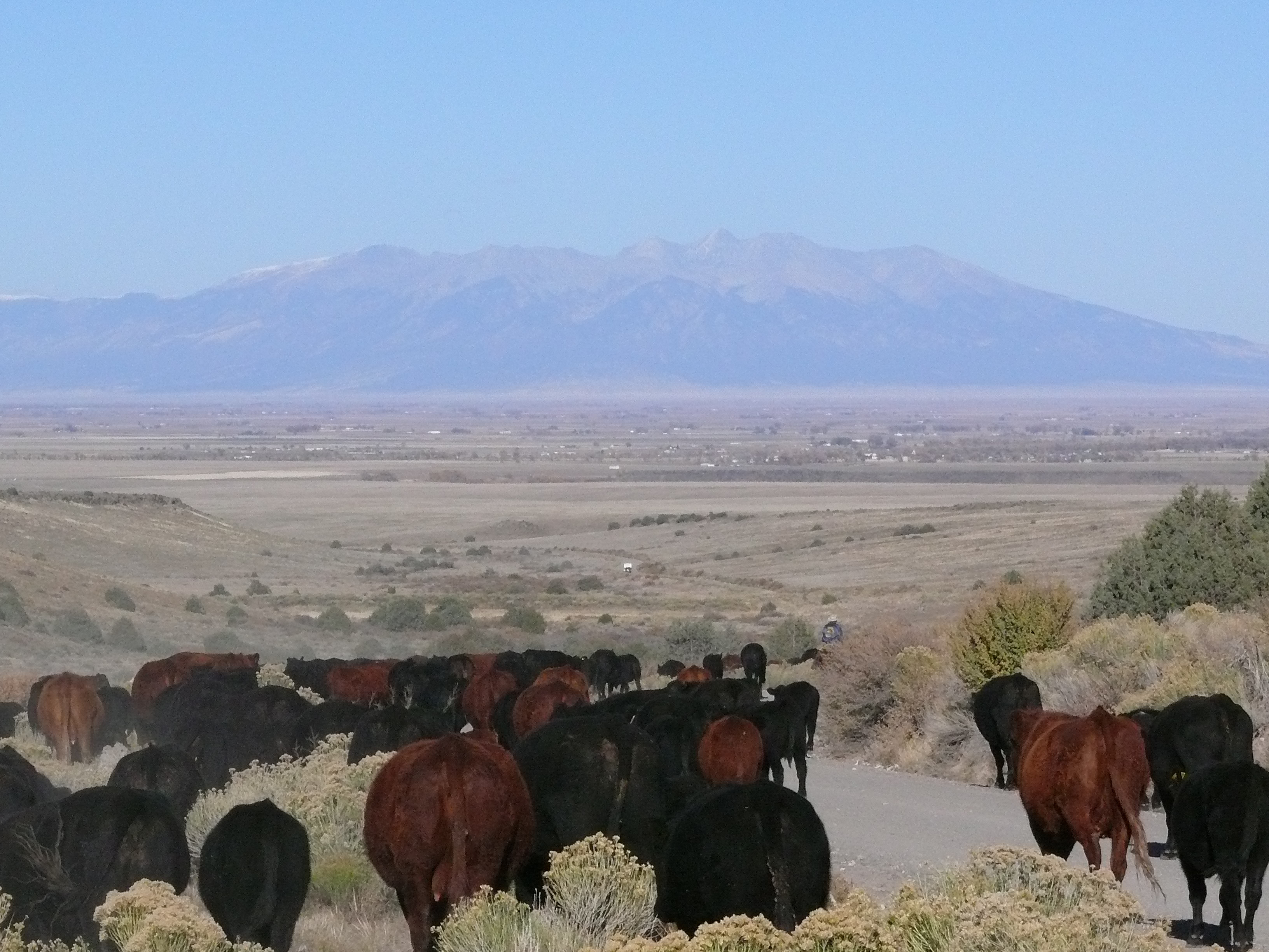
Cattle Drive
NW from my land
se from road aa
east from rd aa
i think southeastward
more west

On County Rd AA
Topographic Map of Co Rd 8, Capulin, CO, USA
Find elevation by address:

Places near Co Rd 8, Capulin, CO, USA:
Capulin
Conejos County
County Rd T.25, La Jara, CO, USA
Chiquito Peak
La Jara
Richfield
Jacobs Hill
County Rd West 4, La Jara, CO, USA
County Rd 10 S, Alamosa, CO, USA
N 5th St, Manassa, CO, USA
Manassa
Estrella Rd, Alamosa, CO, USA
Co Rd 13, Antonito, CO, USA
Sanford
Greenleaf St, Sanford, CO, USA
Los Mogotes
Conejos
Co Rd 17, Antonito, CO, USA
34610 Co-17
Antonito
Recent Searches:
- Elevation of Corso Fratelli Cairoli, 35, Macerata MC, Italy
- Elevation of Tallevast Rd, Sarasota, FL, USA
- Elevation of 4th St E, Sonoma, CA, USA
- Elevation of Black Hollow Rd, Pennsdale, PA, USA
- Elevation of Oakland Ave, Williamsport, PA, USA
- Elevation of Pedrógão Grande, Portugal
- Elevation of Klee Dr, Martinsburg, WV, USA
- Elevation of Via Roma, Pieranica CR, Italy
- Elevation of Tavkvetili Mountain, Georgia
- Elevation of Hartfords Bluff Cir, Mt Pleasant, SC, USA