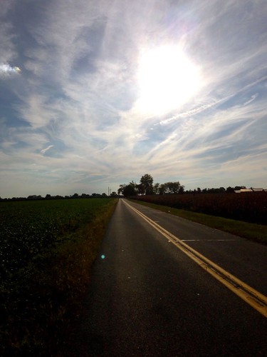
Elevation of Concord Rd, Seaford, DE, USA
Location: United States > Delaware > Sussex County > Seaford >
Longitude: -75.591623
Latitude: 38.64201
Elevation: 1m / 3feet
Barometric Pressure: 101KPa
Related Photos:
Topographic Map of Concord Rd, Seaford, DE, USA
Find elevation by address:

Places near Concord Rd, Seaford, DE, USA:
24437 Beaver Dam Dr
24058 Sussex Hwy
23 Sussex Hwy, Seaford, DE, USA
Blades
Seaford
Bridgeville Hwy, Seaford, DE, USA
417 N Porter St
Florence, Seaford, DE, USA
Grace Cir, Seaford, DE, USA
Atlanta Rd, Seaford, DE, USA
7883 Gum Branch Rd
Atlanta Cir, Seaford, DE, USA
Woodland Rd, Seaford, DE, USA
Butler Branch Rd, Seaford, DE, USA
River Rd, Seaford, DE, USA
6163 Mallard Point
4602 W Stein Hwy
Bethel
25607 Brookside Dr
7443 Shell Bridge Rd
Recent Searches:
- Elevation of Corso Fratelli Cairoli, 35, Macerata MC, Italy
- Elevation of Tallevast Rd, Sarasota, FL, USA
- Elevation of 4th St E, Sonoma, CA, USA
- Elevation of Black Hollow Rd, Pennsdale, PA, USA
- Elevation of Oakland Ave, Williamsport, PA, USA
- Elevation of Pedrógão Grande, Portugal
- Elevation of Klee Dr, Martinsburg, WV, USA
- Elevation of Via Roma, Pieranica CR, Italy
- Elevation of Tavkvetili Mountain, Georgia
- Elevation of Hartfords Bluff Cir, Mt Pleasant, SC, USA
