Elevation of Blades, DE, USA

Location: United States > Delaware > Sussex County > Seaford >

Longitude: -75.609927

Latitude: 38.6356701

Elevation: 3m / 10feet

Barometric Pressure: 101KPa

Elevation Map:

elevation map of Blades, DE, USA

Satellite Map:

Satellite map of Blades, DE, USA

Related Photos:

macro mushroom d50 nikon explore kenko extensiontubes explored 70200vr
Mushroom - Explored
old red church historic marker delaware nationalregisterhistoricplaces laurelde sussexcountyde oldchristchurchlaureldelaware
Old Christ Church - Laurel, Delaware
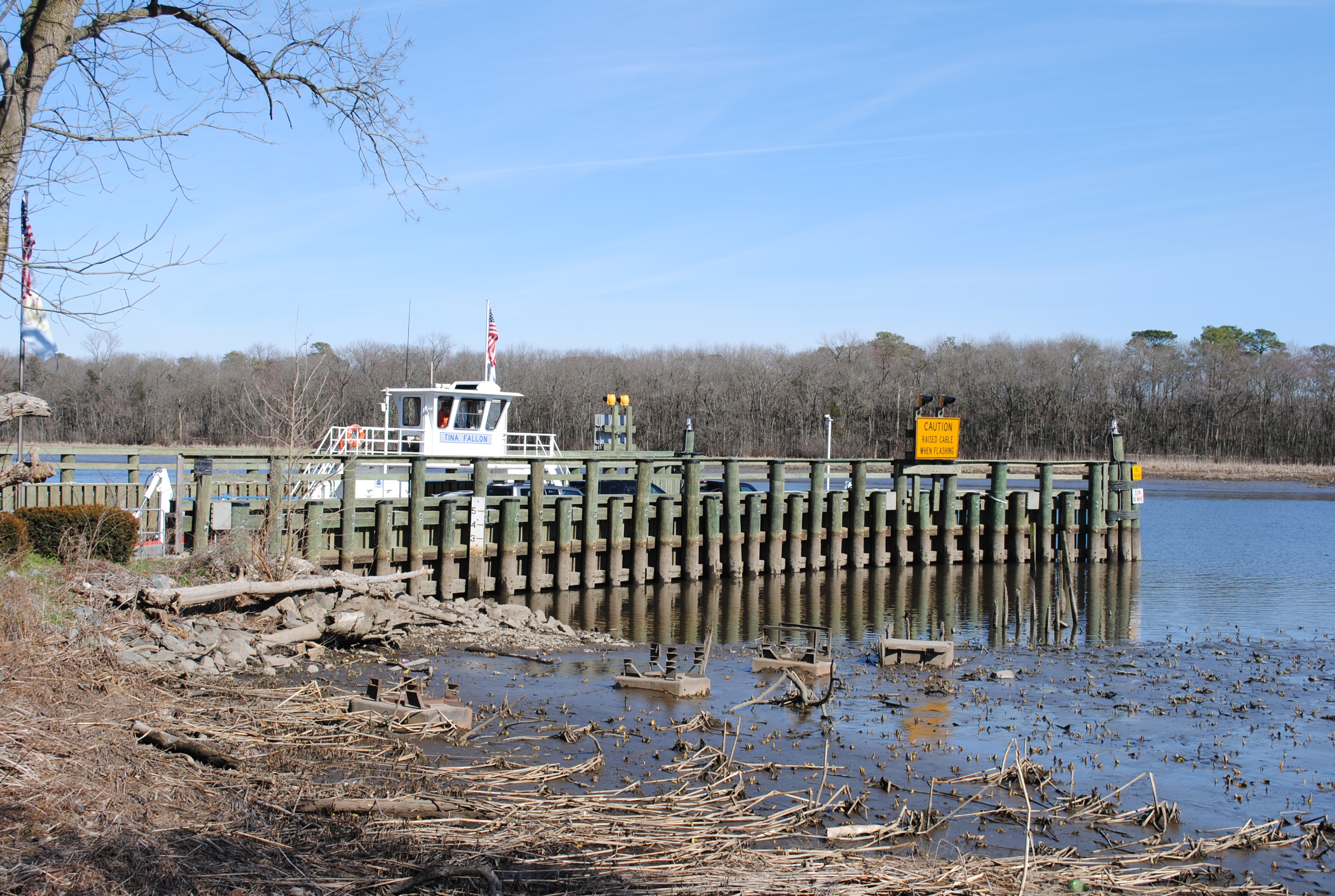
water ferry river pier boat dock shoreline delaware nanticoke cableferry nanticokeriver sussexcountyde tinafallon woodlandferry
Woodland Ferry
tree water ferry river pier boat dock delaware nanticoke cableferry nanticokeriver sussexcountyde tinafallon woodlandferry
Woodland Ferry
2017 08-03 0913 DCR MP15N-1563, 1560 SE-1, Seaford, DE
2017 08-03 0955 DCR MP15N-1563 SE-1, Seaford, DE
building apartments revitalization seaford riverwalk nanticokeriver river riverview delaware
Building Along the Nanticoke River
2017 08-03 1619 Tug-Capt Johnny, Seaford, DE
rapa sign scrapple rapascrapple applescrapplefestival bridgeville delaware
Ralph & Paul Adams, at an angle
hurlock maryland unitedstates us
Masked Hunter
longexposure trees blackandwhite bw water beautiful sepia wow de blackwhite moving pentax patterns bald scenic cypress swirls delaware knees laurel smallwonder pentaxpz1p trappond pz1p delawareonline wowiekazowie trussumpond rockymtns99 laurelde slowerdelaware trussom stjamesbranch lowerdelaware hastingsfamilyreunion jamesbranch
Trees of Trussum - Taken near Trussom Pond and Trap Pond State Park in Laurel, DE
nanticokeriver seaford delaware
No Trespassing
hurlock maryland unitedstates
No Common Name
federalsburg maryland unitedstatesofamerica
No Common Name
federalsburg maryland unitedstatesofamerica
No Common Name
macro bug dragonfly damselfly kenko extensiontubes 70200vr
My Favorite Dragonfly
federalsburg maryland unitedstatesofamerica
No Common Name
abandoned closed diner delaware bridgeville us13
Abandoned Diner in Delaware along US-13
A Perfect Flower
federalsburgmd smalltowns delmarva delmarvapeninsula easternshore mainstreet townsofdelmarva carolinecountymaryland carolinecountymd federalsburgmaryland smalltownlife buildings downtown federalsburg maryland easternshoreofmd esmd lifeondelmarva delmarvausa
black & white view of Federalsburg, MD
abandoned diner delaware bridgeville us13
Abandoned DE Diner- rear view
animalia delaware fish nanticokeriver science sussexcounty americanshad animals environment fishpassage hatchery monitoring nature restoration wildlife unitedstates exif:focallength=24mm camera:model=canoneos5dmarkii camera:make=canon exif:aperture=ƒ40 geostate exif:model=canoneos5dmarkii geo:country=unitedstates exif:lens=ef24105mmf4lisusm geocity exif:isospeed=100 exif:make=canon
Nanticoke Shad Hatchery in Sussex County, Del.
animalia delaware fish nanticokeriver science sussexcounty americanshad animals environment fishpassage hatchery monitoring nature restoration wildlife unitedstates exif:focallength=24mm camera:model=canoneos5dmarkii camera:make=canon exif:isospeed=100 geostate exif:model=canoneos5dmarkii geo:country=unitedstates exif:lens=ef24105mmf4lisusm exif:aperture=ƒ22 geocity exif:make=canon
Nanticoke Shad Hatchery in Sussex County, Del.
water ferry river pier boat dock tugboat delaware tug barge nanticoke cableferry bassboat nanticokeriver sussexcountyde tinafallon woodlandferry
Woodland Ferry
water ferry river pier boat dock delaware barge nanticoke cableferry nanticokeriver sussexcountyde tinafallon woodlandferry
Woodland Ferry
water ferry river pier boat dock tugboat delaware tug barge nanticoke cableferry nanticokeriver sussexcountyde tinafallon woodlandferry
Woodland Ferry
water ferry river pier boat dock tugboat delaware tug barge nanticoke cableferry nanticokeriver sussexcountyde tinafallon woodlandferry
Woodland Ferry
delaware bridgevilledelaware bridgeville sussexcountydelaware sussexcounty southerndelaware southdelaware delmarva delmarvapeninsula 20100104 january2010 january 2010 view landscape delawarelandscape bridgevillelandscape delmarvalandscape yard backyard fence fencedinarea chainlinkfence chainlink tarps tarpaulins bluetarps bluetarpaulins saggingtarpaulins saggingtarps windblowntarpaulins windblowntarps mowed mowedgrass browngrass unionstreet houses img0167
Tarpaulins partway got blew down by Delmarva fierce windstorm, & now the weird secrets of the little fenced-in area are all out & unenshrouded where people can see.
delaware sussexcountydelaware sussexcounty southerndelaware southdelaware delmarva delmarvapeninsula 20100104 january2010 january 2010 usroute13 route13 us13 highway13 ushighway13 sussexhighway view landscape delawarelandscape southerndelawarelandscape sussexcountylandscape woodedlandscape thicketlandscape brierylandscape briarylandscape thornylandscape tangledlandscape thicket thorns briers briars briarpatch brierpatch thornyvines brieryvines briaryvines tangle woods woodland delmarvalandscape vines impassible vinechoked img0121
Ongoing progress of thorny thicket formation.
rt. 13
schoolbus fields seaford delaware
Field and Buses
Fields, Bridgeville, Delaware
unitedstates environment geocity geo:country=unitedstates exif:make=apple camera:make=apple geostate exif:aperture=ƒ18 exif:focallength=399mm exif:model=iphone7 camera:model=iphone7 exif:lens=iphone7backcamera399mmf18 exif:isospeed=20 delaware waterbodies bulkhead sussexcounty nanticokeriver erosion stormwaterrunoff
Phillips Landing Park in Sussex County, Del.
Fields, Bridgeville, Delaware
Fields, U.S. 13, Bridgeville, Delaware
altoona blaircounty chesapeakebayprogram horseshoecurve pa pennsylvania environment unitedstates exif:focallength=24mm camera:model=canoneos5dmarkii camera:make=canon geocity geostate exif:model=canoneos5dmarkii exif:lens=ef2470mmf28lusm exif:aperture=ƒ56 exif:isospeed=200 geo:country=unitedstates exif:make=canon
Horseshoe Curve National Historic Landmark
IMG_0782 Dickcissel
Soda Can Baseball: Round 2
delaware laurel 5photosaday recordspond
Records Pond
winter river pier boat dock maryland easternshore tow barge nanticoke sharptown
Passing By