Elevation of Brookside Dr, Seaford, DE, USA
Location: United States > Delaware > Sussex County > Seaford >
Longitude: -75.66913
Latitude: 38.637116
Elevation: 8m / 26feet
Barometric Pressure: 0KPa
Related Photos:

Mushroom - Explored
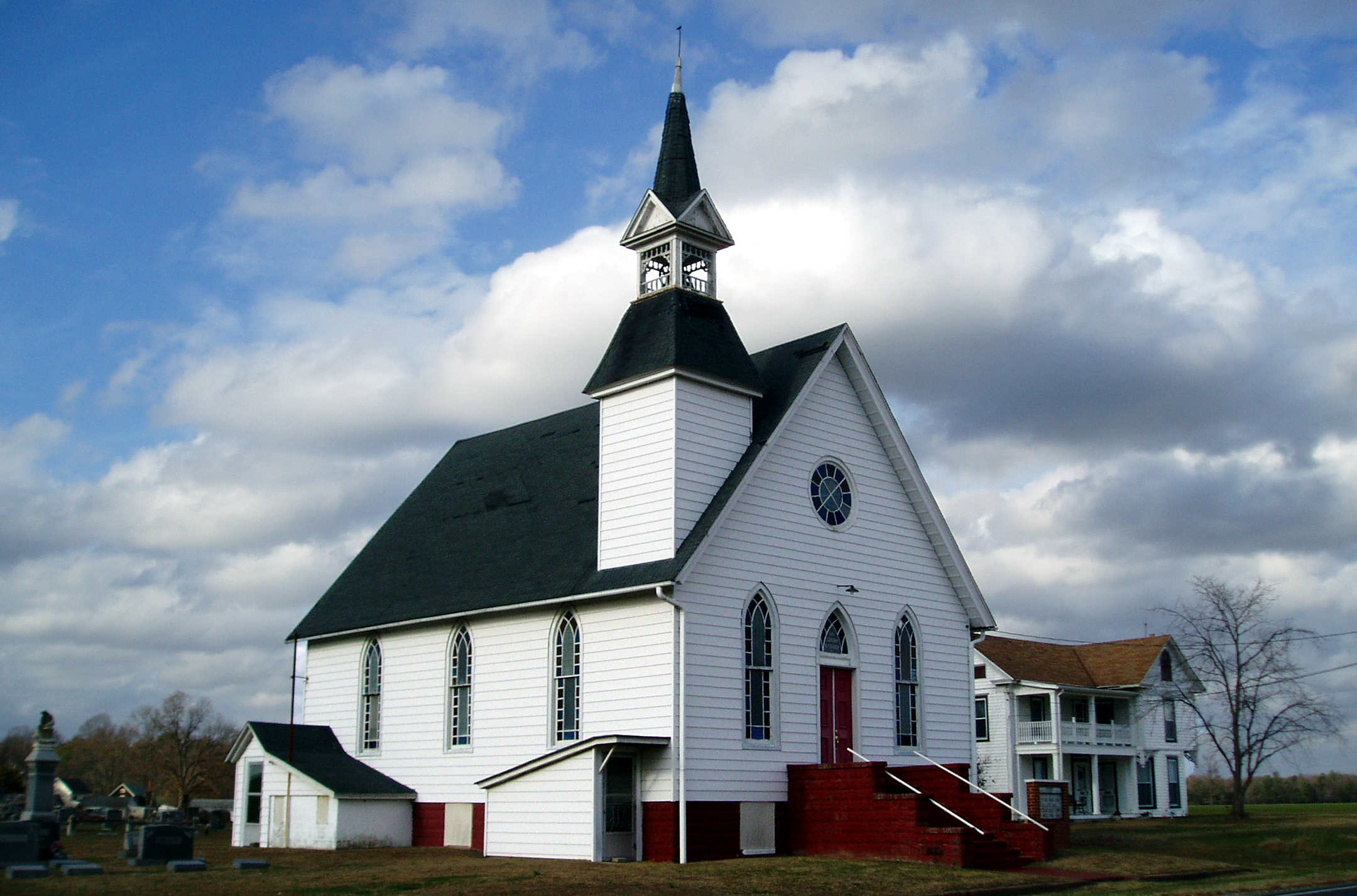
Eldorado U.M. Church
Our backyard-- worm's eye view

No Common Name

No Common Name

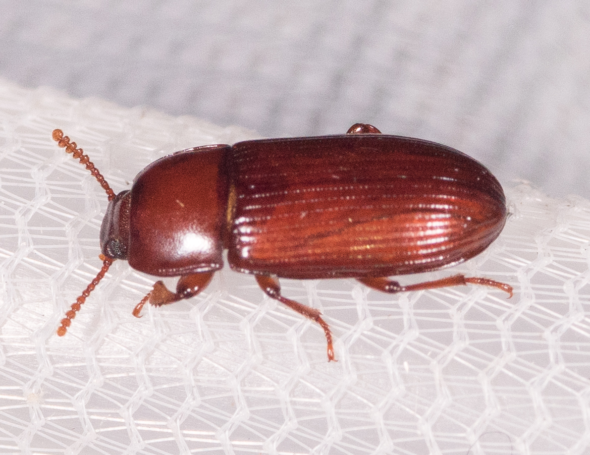
Pitch-eating Weevil

No Common Name

No Common Name
No Common Name

Tobacco Wireworm

Tylozygus bifidus

No Common Name

No Common Name

Hairy Fungus Beetle

It's Not Pollen

My Favorite Dragonfly

Abandoned DE Diner- rear view
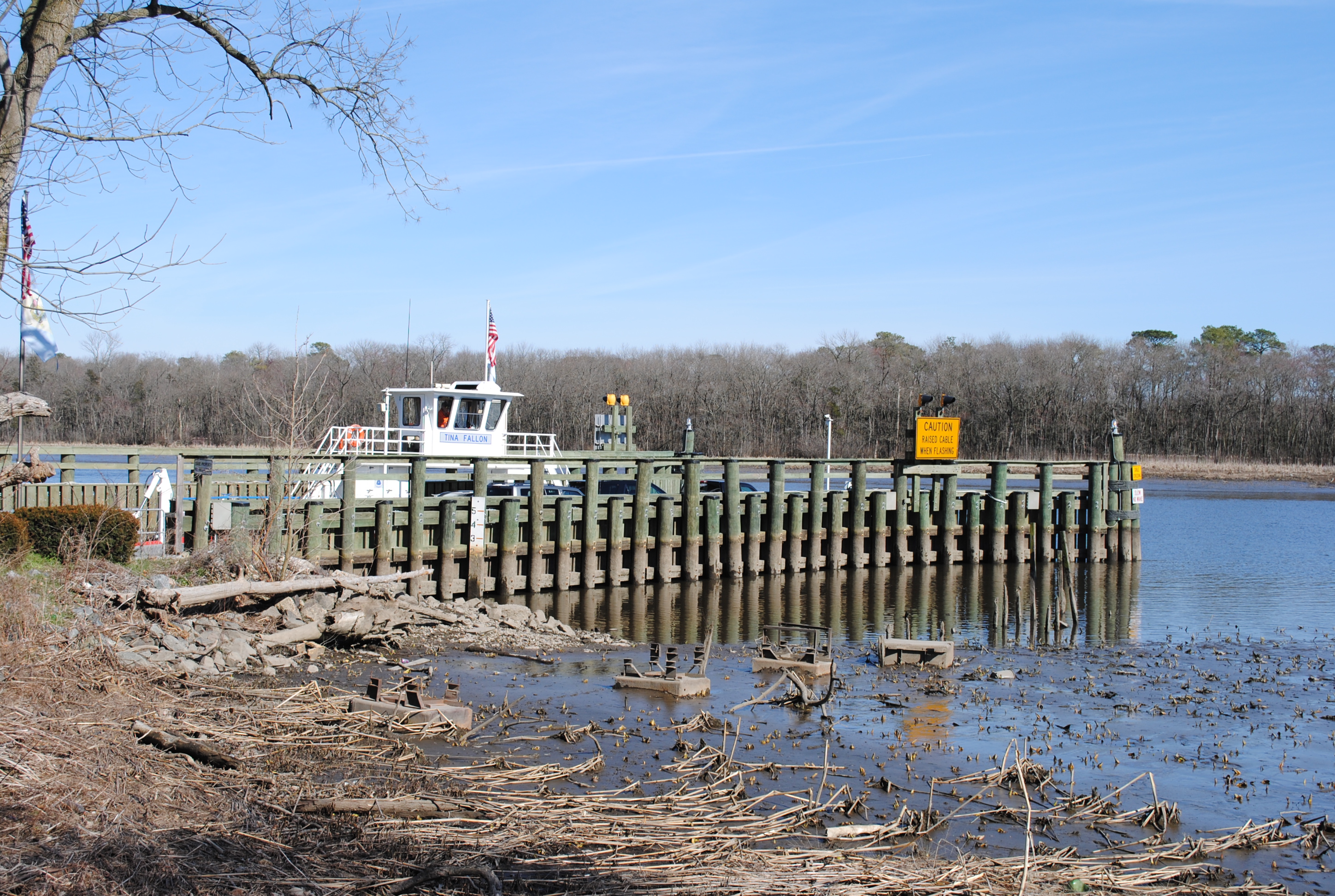
Woodland Ferry

Abandoned Diner in Delaware along US-13

Apologies to my contacts
No Umbrella Needed, No Cache No More

Death Valley Dunes

Little Yellow Bugs

IMG_0782 Dickcissel

D43A70AD-CA86-4B23-9133-9635F9C042F3
Royal Farms Field

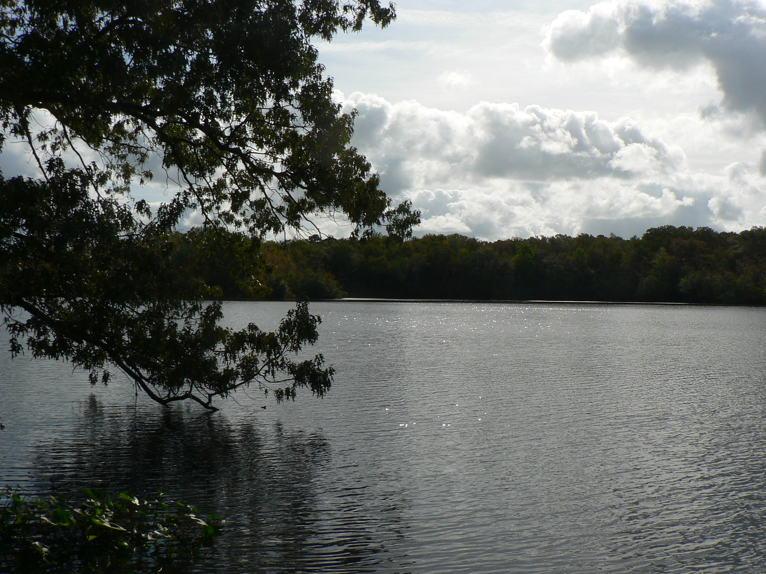
Upper Nanticoke River in Delaware looking north

Soda Can Baseball: Round 2
#laurel#delaware #clouds

Ornate headstone
Twilight at the Farm

Sharptown Planting After
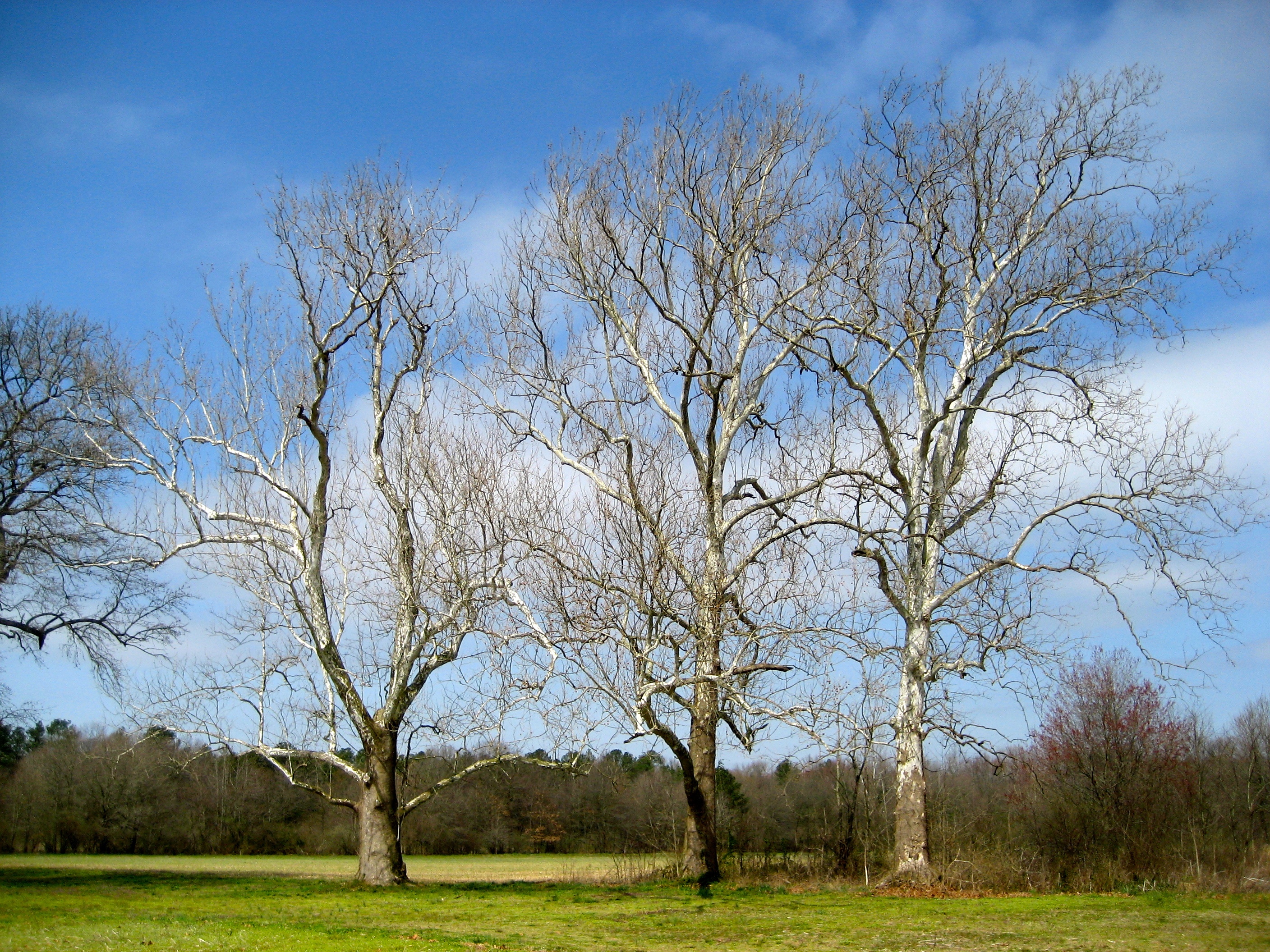
Sycamore trees near Nanticoke River in southwestern Delaware

Hindwing with Ray

Sharptown Planting After

Upper Nanticoke River in Delaware looking south

Passing By

Records Pond

Twilight at the Farm

Fields, Bridgeville, Delaware
concord pond

Galestown Millpond Dam
Topographic Map of Brookside Dr, Seaford, DE, USA
Find elevation by address:

Places near Brookside Dr, Seaford, DE, USA:
4602 W Stein Hwy
Butler Branch Rd, Seaford, DE, USA
Woodland Rd, Seaford, DE, USA
Woodland Ferry Rd, Seaford, DE, USA
86 Line Rd
Atlanta Rd, Seaford, DE, USA
26397 Line Rd
River Rd, Seaford, DE, USA
6163 Mallard Point
Atlanta Cir, Seaford, DE, USA
417 N Porter St
Grace Cir, Seaford, DE, USA
Seaford
Blades
7883 Gum Branch Rd
6393 Baileys Landing Dr
Baileys Landing Dr, Bethel, DE, USA
Florence, Seaford, DE, USA
5056 Morgans Way
River Rd, Laurel, DE, USA
Recent Searches:
- Elevation map of Greenland, Greenland
- Elevation of Sullivan Hill, New York, New York, 10002, USA
- Elevation of Morehead Road, Withrow Downs, Charlotte, Mecklenburg County, North Carolina, 28262, USA
- Elevation of 2800, Morehead Road, Withrow Downs, Charlotte, Mecklenburg County, North Carolina, 28262, USA
- Elevation of Yangbi Yi Autonomous County, Yunnan, China
- Elevation of Pingpo, Yangbi Yi Autonomous County, Yunnan, China
- Elevation of Mount Malong, Pingpo, Yangbi Yi Autonomous County, Yunnan, China
- Elevation map of Yongping County, Yunnan, China
- Elevation of North 8th Street, Palatka, Putnam County, Florida, 32177, USA
- Elevation of 107, Big Apple Road, East Palatka, Putnam County, Florida, 32131, USA
- Elevation of Jiezi, Chongzhou City, Sichuan, China
- Elevation of Chongzhou City, Sichuan, China
- Elevation of Huaiyuan, Chongzhou City, Sichuan, China
- Elevation of Qingxia, Chengdu, Sichuan, China
- Elevation of Corso Fratelli Cairoli, 35, Macerata MC, Italy
- Elevation of Tallevast Rd, Sarasota, FL, USA
- Elevation of 4th St E, Sonoma, CA, USA
- Elevation of Black Hollow Rd, Pennsdale, PA, USA
- Elevation of Oakland Ave, Williamsport, PA, USA
- Elevation of Pedrógão Grande, Portugal