Elevation of Line Rd, Seaford, DE, USA
Location: United States > Delaware > Sussex County > Seaford >
Longitude: -75.7057781
Latitude: 38.6204119
Elevation: 12m / 39feet
Barometric Pressure: 0KPa
Related Photos:

Mushroom - Explored
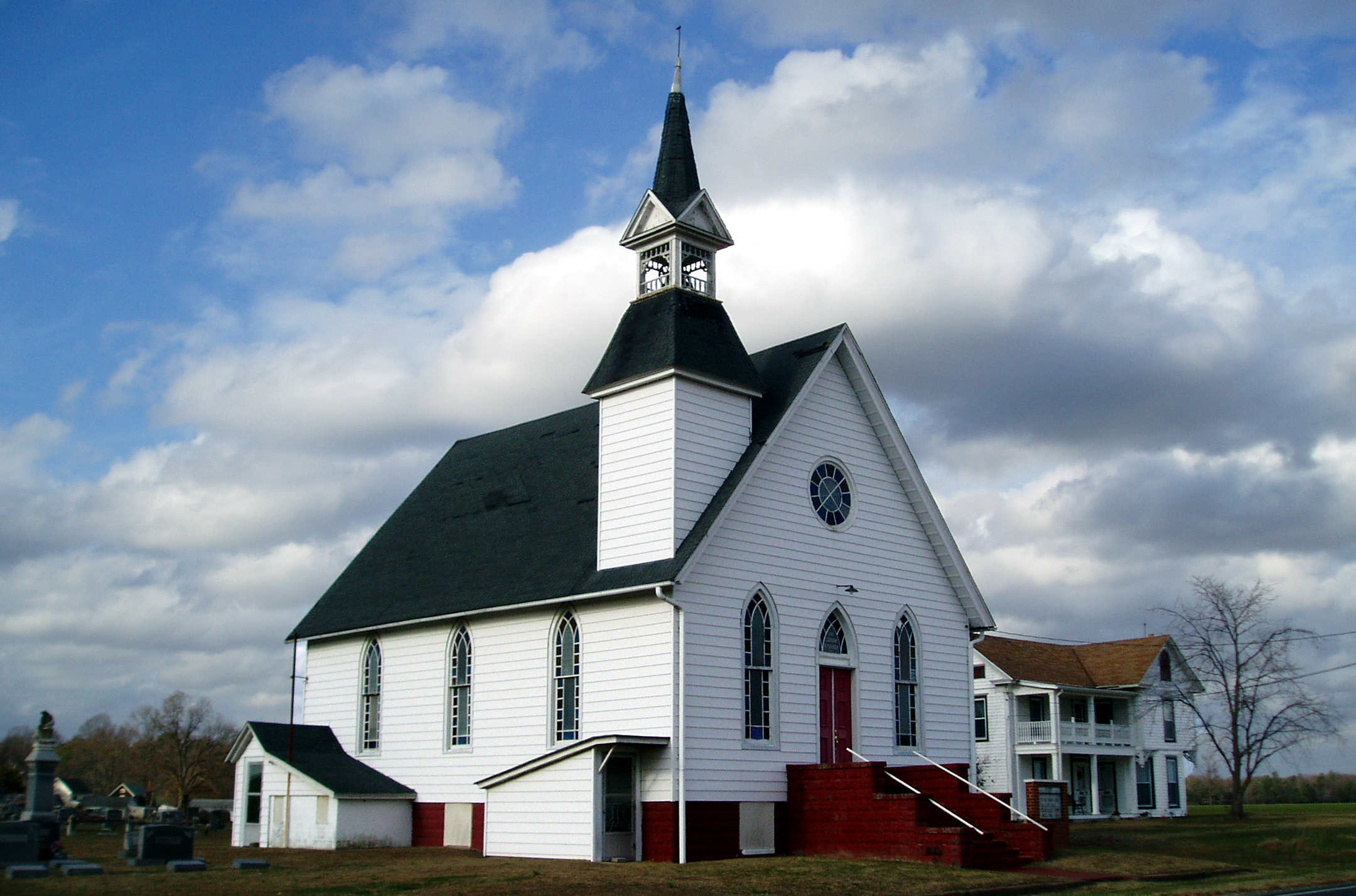
Eldorado U.M. Church

No Common Name

Plymouth Satellite former Ocean View (DE) police car

Vexans Mosquito
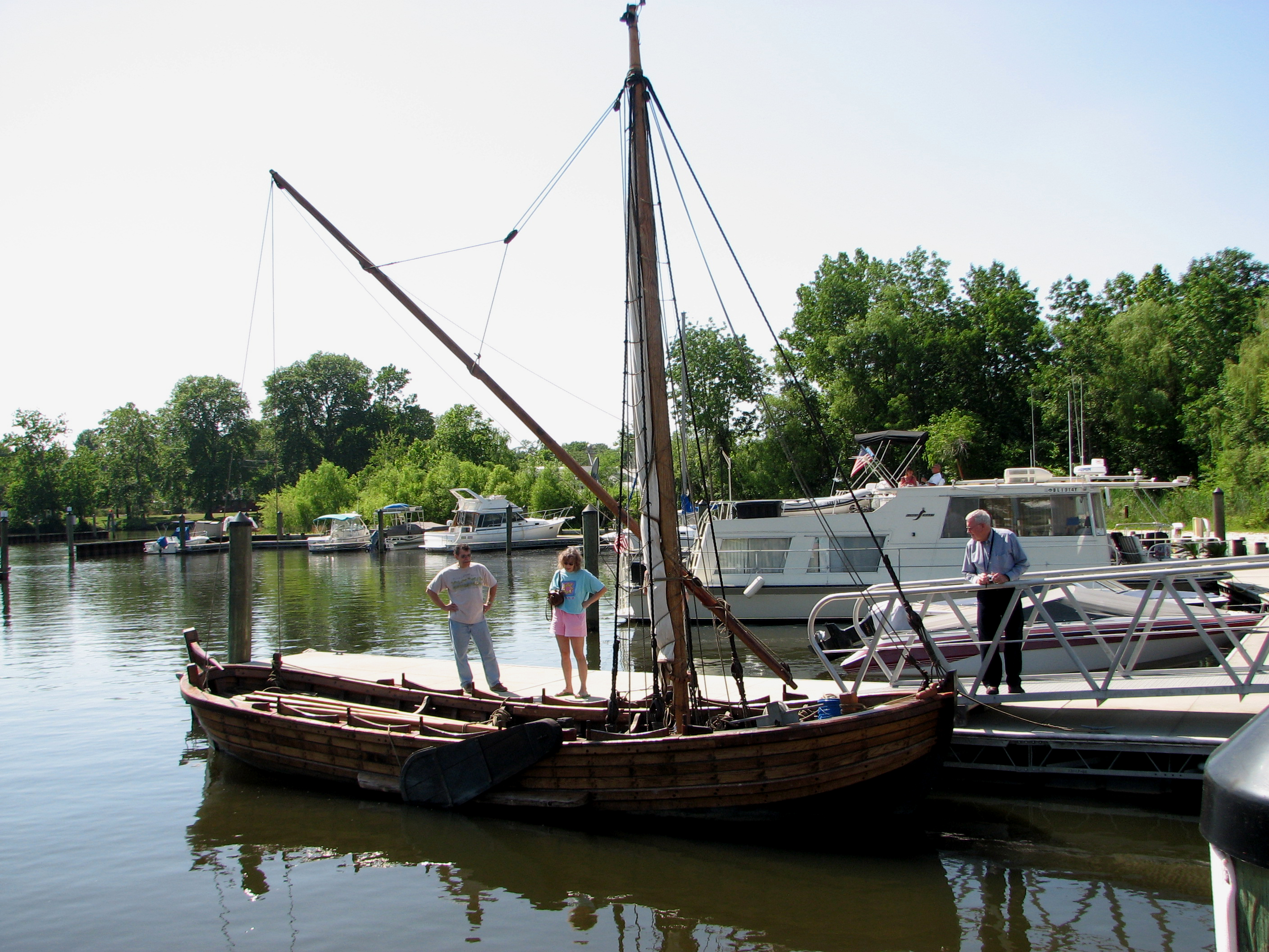
Replica of Captain John Smith's shallop

False Mealworm Beetle

No Common Name

Two-spotted Tree Cricket

No Common Name

No Common Name

Arrowshaped Micrathena

No Common Name
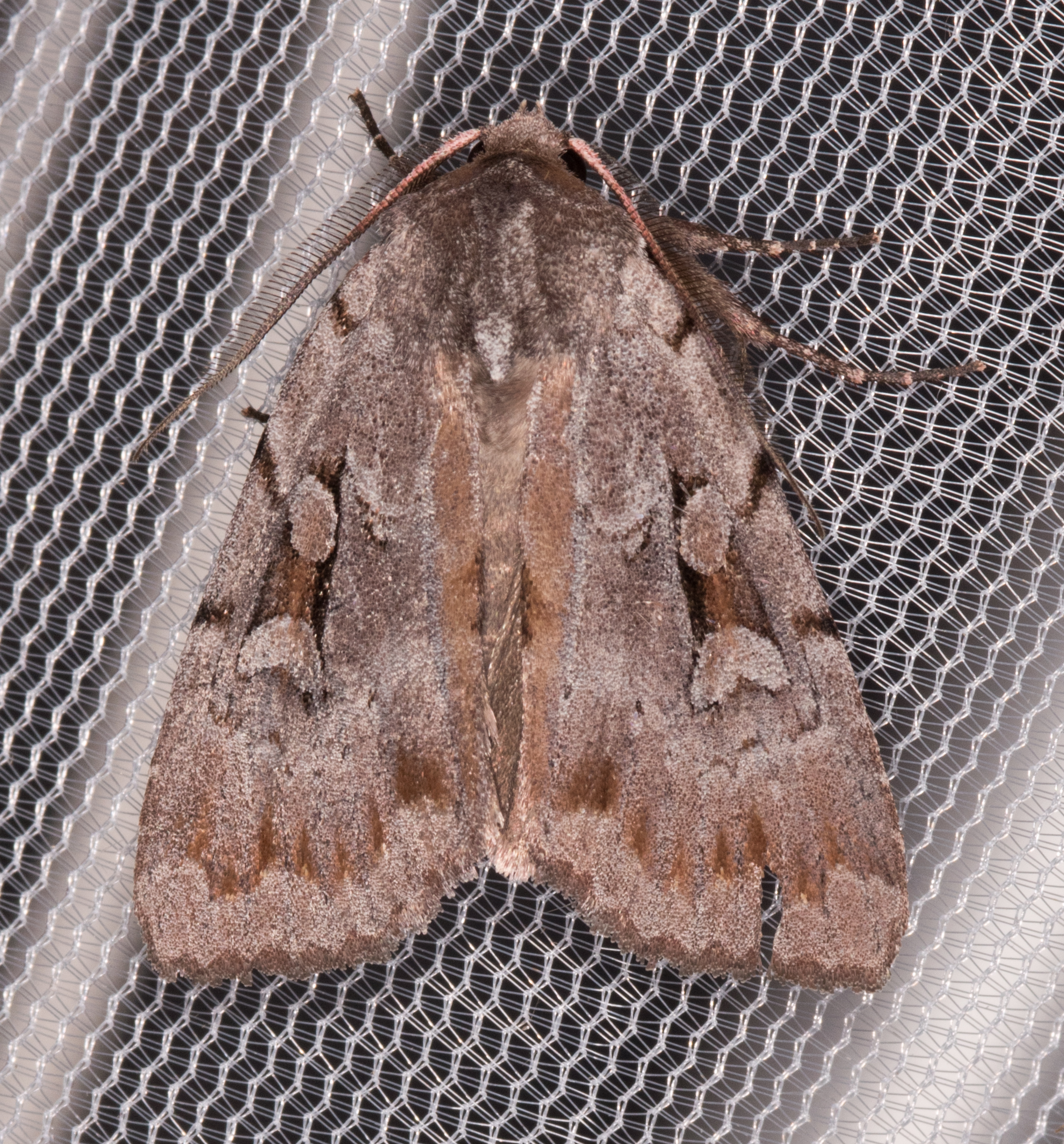
Southern Variable Dart

Uloma sp.

Spider Bugguide

No Common Name

No Common Name

No Common Name

Soybean Leafminer

A Strange Marked Pickerel Frog -- Side View

Pumps are used to circulate water from the Nanticoke River through the Nanticoke Shad Hatchery

Little Yellow Bugs

Good morning Sussex County ???? Day 66/365

Farmland in Caroline County, Md.
#laurel#delaware #clouds

Soda Can Baseball: Round 2
dock 2
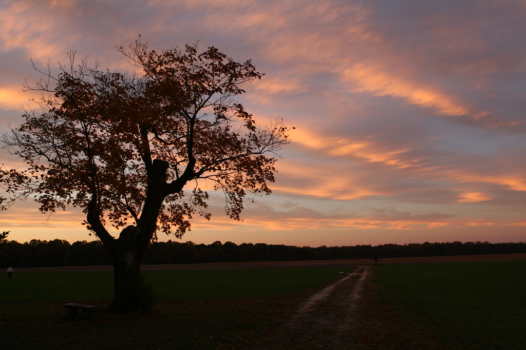
Twilight at the Farm

Sharptown Planting After

rt. 13
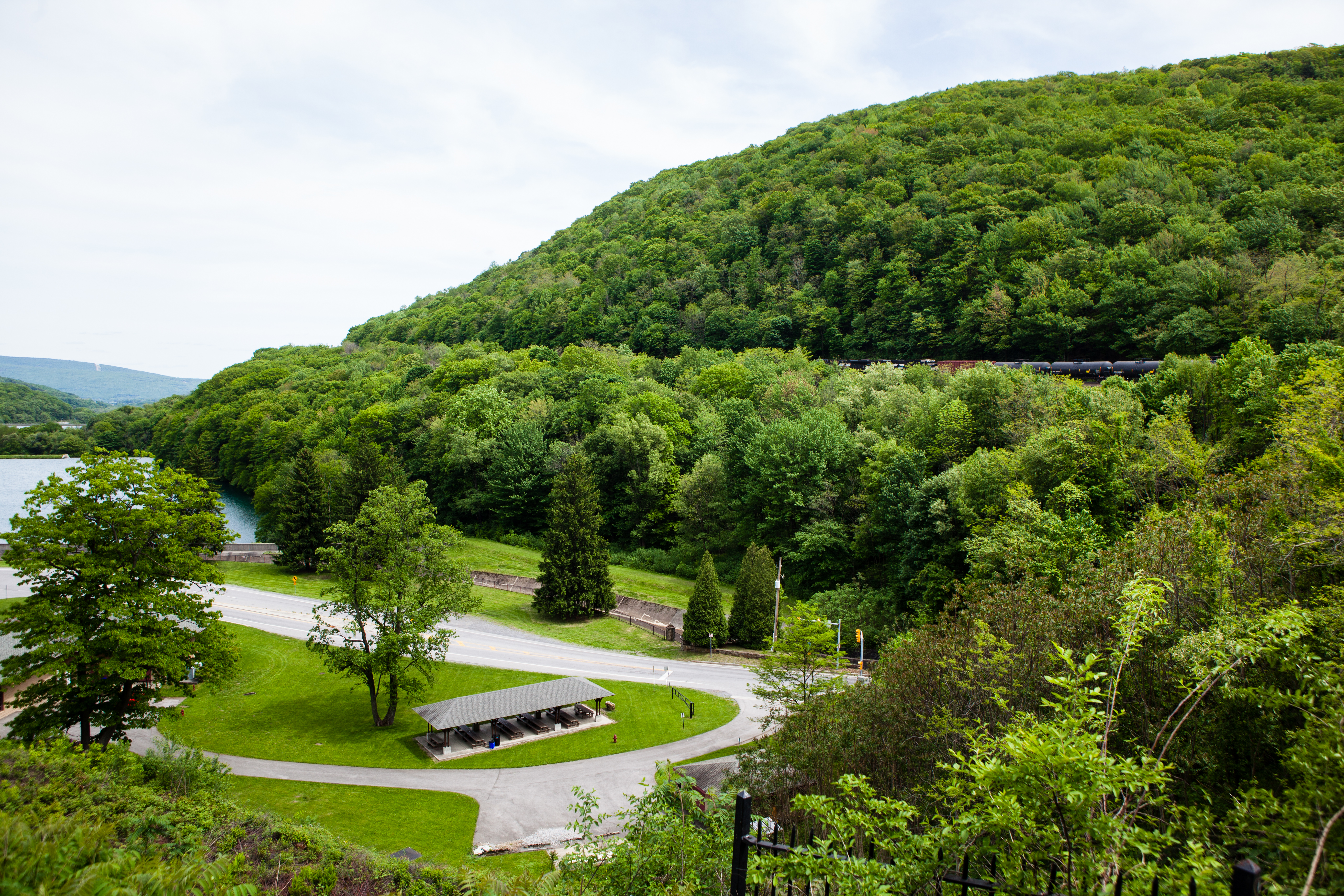
Horseshoe Curve National Historic Landmark

Sharptown Planting After

Fields, Bridgeville, Delaware

Passing By

Twilight at the Farm
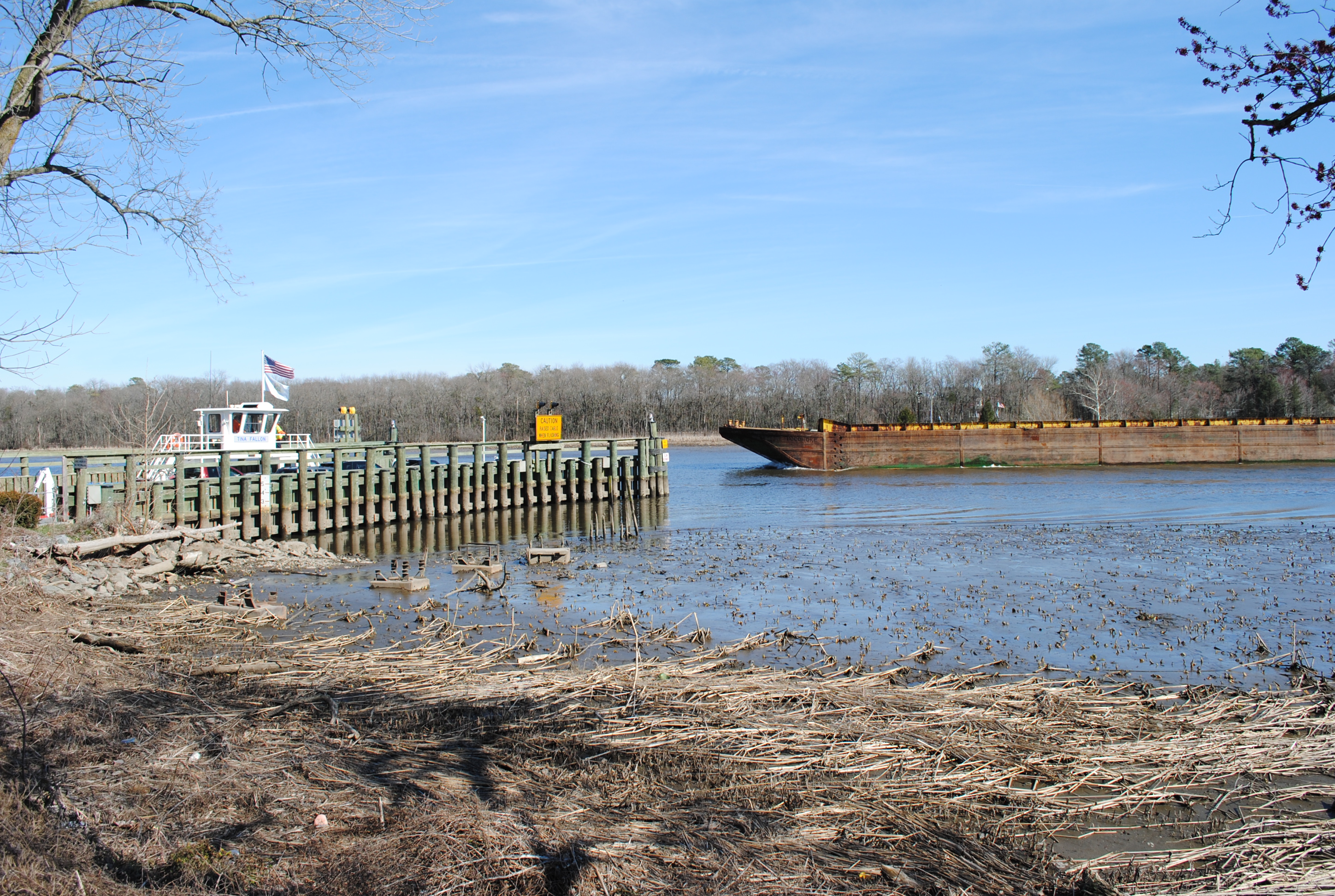
Woodland Ferry
Records Pond Laurel Delaware

Galestown Millpond Dam

Twilight at the Farm

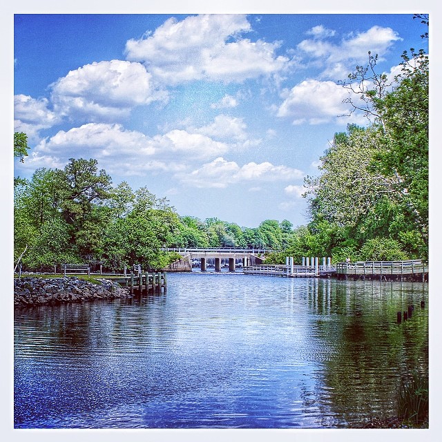
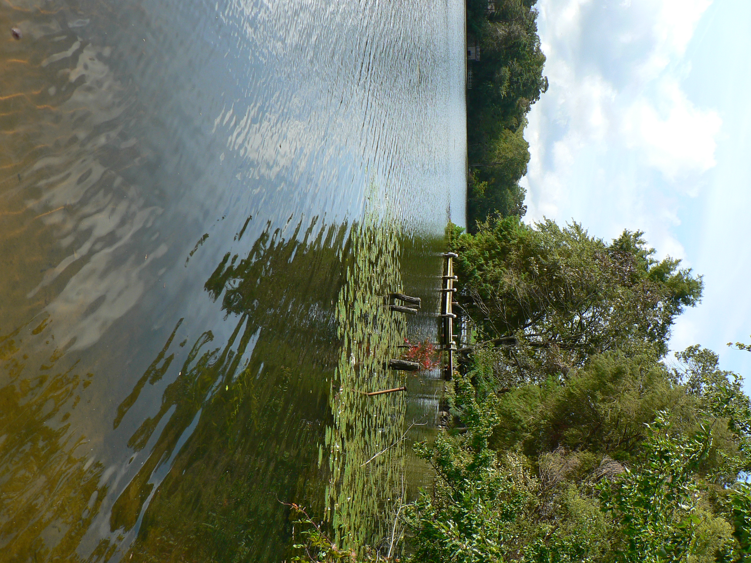
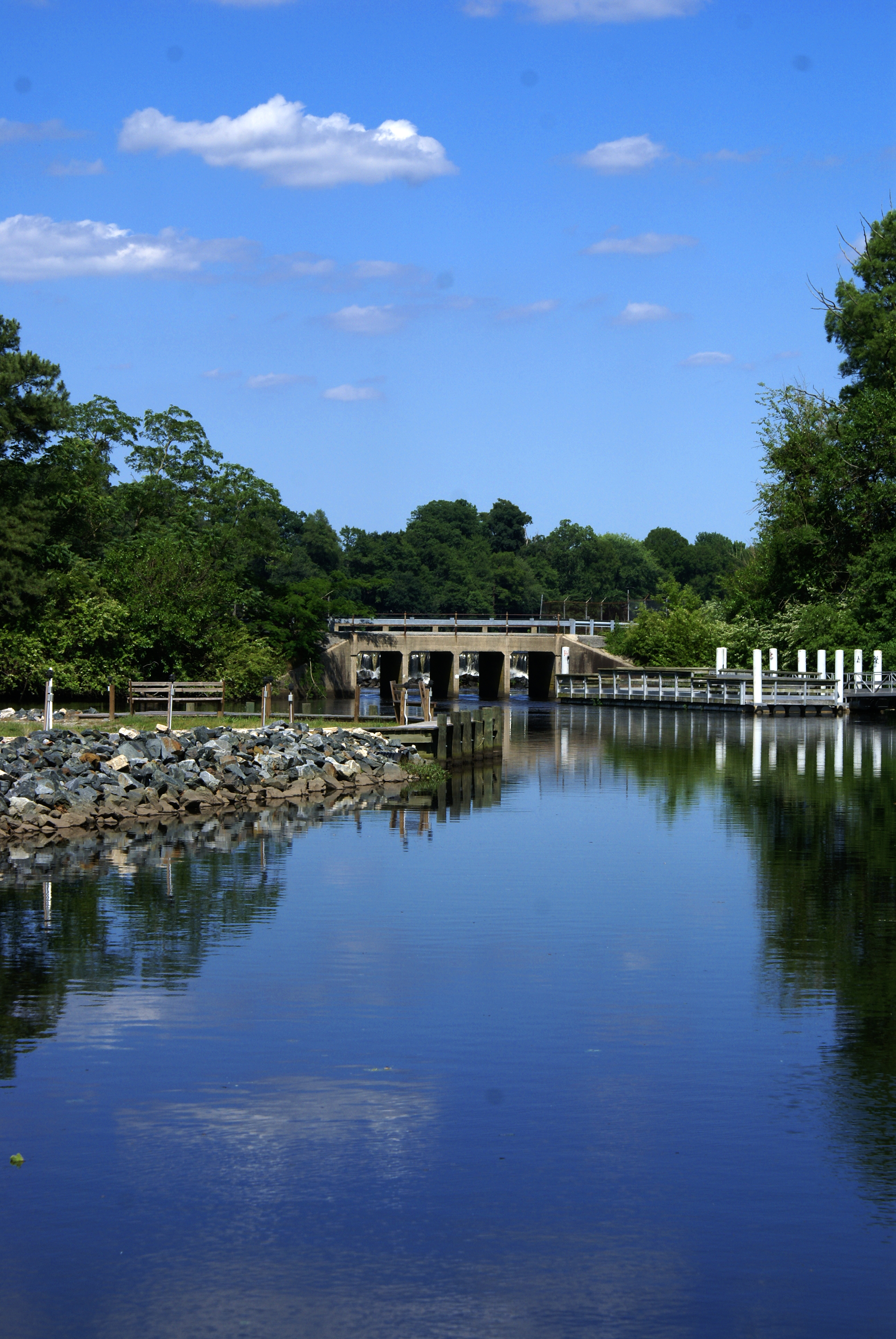
Upper Nanticoke River in Delaware looking south

Upper Nanticoke River in Delaware looking north
Topographic Map of Line Rd, Seaford, DE, USA
Find elevation by address:

Places near Line Rd, Seaford, DE, USA:
86 Line Rd
Woodland Ferry Rd, Seaford, DE, USA
25607 Brookside Dr
4602 W Stein Hwy
Butler Branch Rd, Seaford, DE, USA
6163 Mallard Point
River Rd, Seaford, DE, USA
Woodland Rd, Seaford, DE, USA
5056 Morgans Way
River Rd, Laurel, DE, USA
Baileys Landing Dr, Bethel, DE, USA
6393 Baileys Landing Dr
Atlanta Rd, Seaford, DE, USA
1, Fork
Atlanta Cir, Seaford, DE, USA
Grace Cir, Seaford, DE, USA
7883 Gum Branch Rd
417 N Porter St
Shell Bridge Rd, Laurel, DE, USA
Seaford
Recent Searches:
- Elevation map of Greenland, Greenland
- Elevation of Sullivan Hill, New York, New York, 10002, USA
- Elevation of Morehead Road, Withrow Downs, Charlotte, Mecklenburg County, North Carolina, 28262, USA
- Elevation of 2800, Morehead Road, Withrow Downs, Charlotte, Mecklenburg County, North Carolina, 28262, USA
- Elevation of Yangbi Yi Autonomous County, Yunnan, China
- Elevation of Pingpo, Yangbi Yi Autonomous County, Yunnan, China
- Elevation of Mount Malong, Pingpo, Yangbi Yi Autonomous County, Yunnan, China
- Elevation map of Yongping County, Yunnan, China
- Elevation of North 8th Street, Palatka, Putnam County, Florida, 32177, USA
- Elevation of 107, Big Apple Road, East Palatka, Putnam County, Florida, 32131, USA
- Elevation of Jiezi, Chongzhou City, Sichuan, China
- Elevation of Chongzhou City, Sichuan, China
- Elevation of Huaiyuan, Chongzhou City, Sichuan, China
- Elevation of Qingxia, Chengdu, Sichuan, China
- Elevation of Corso Fratelli Cairoli, 35, Macerata MC, Italy
- Elevation of Tallevast Rd, Sarasota, FL, USA
- Elevation of 4th St E, Sonoma, CA, USA
- Elevation of Black Hollow Rd, Pennsdale, PA, USA
- Elevation of Oakland Ave, Williamsport, PA, USA
- Elevation of Pedrógão Grande, Portugal