Elevation of Butler Branch Rd, Seaford, DE, USA
Location: United States > Delaware > Sussex County > Seaford >
Longitude: -75.652028
Latitude: 38.63121
Elevation: 2m / 7feet
Barometric Pressure: 101KPa
Elevation Map:
Satellite Map:
Related Photos:

Mushroom - Explored
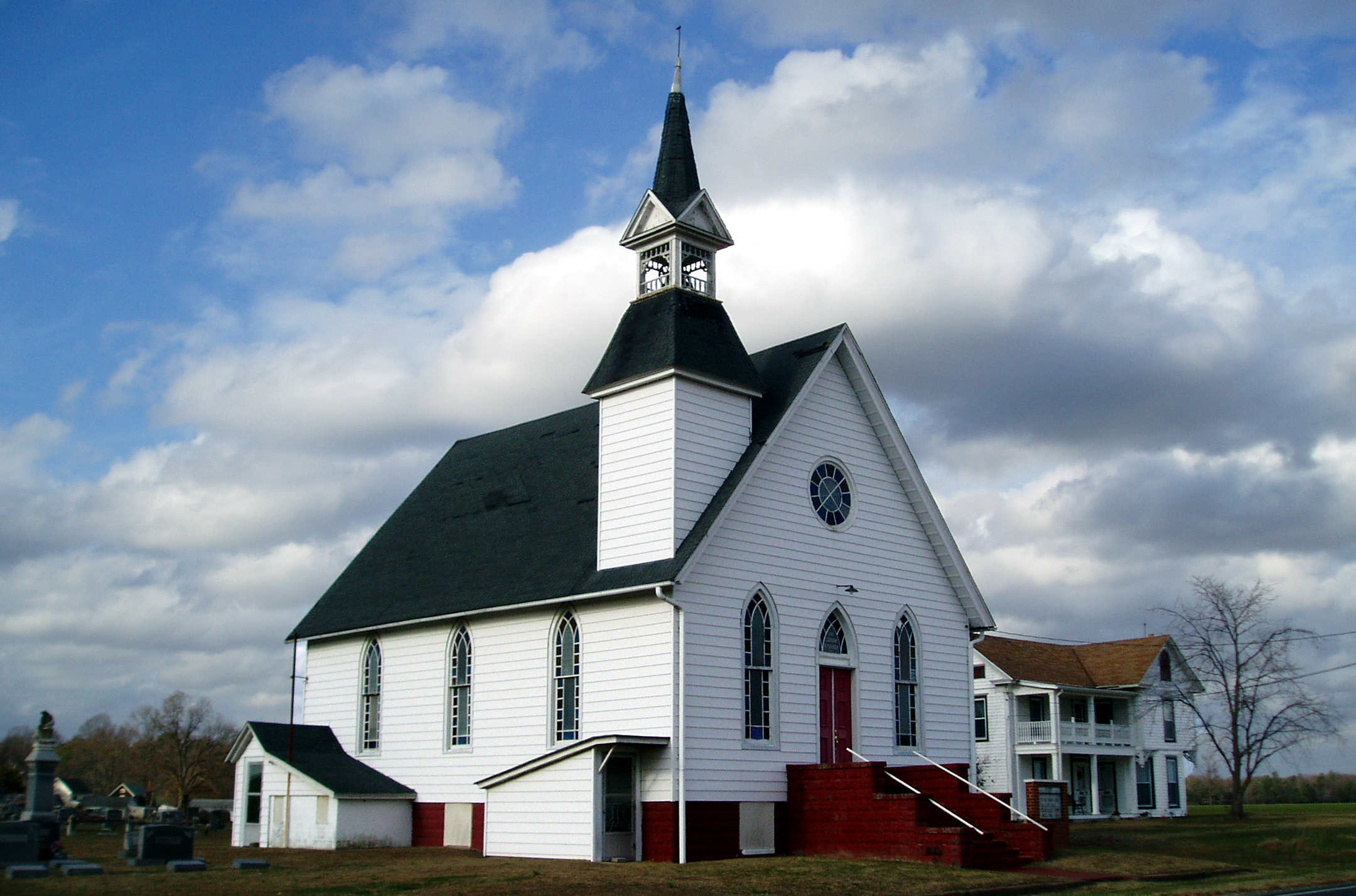
Eldorado U.M. Church

My Favorite Dragonfly
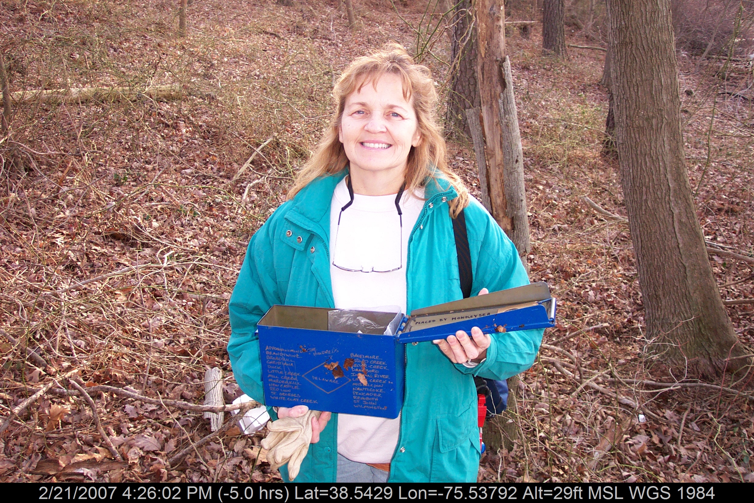
Mrs dinobalz with Broadcreek Hundred Cache

Abandoned Diner in Delaware along US-13

Abandoned DE Diner- rear view

Apologies to my contacts
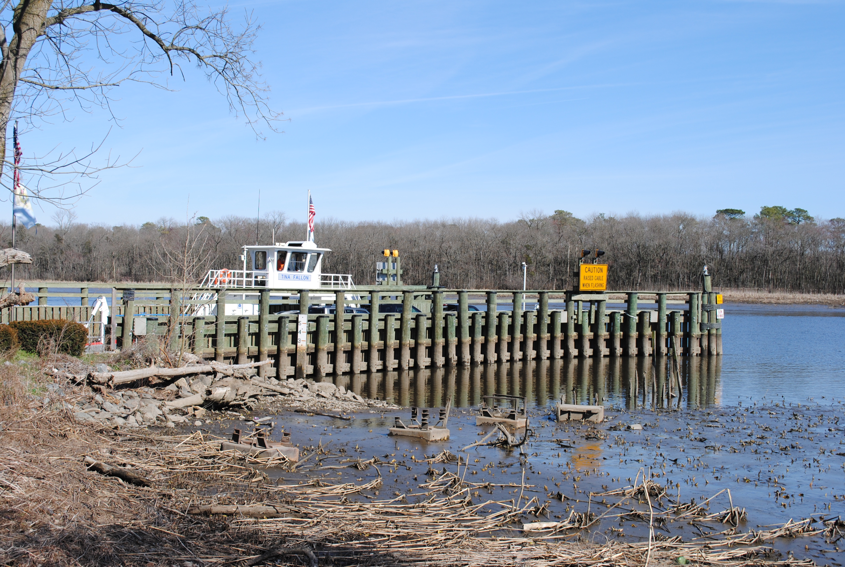
Woodland Ferry
No Umbrella Needed, No Cache No More
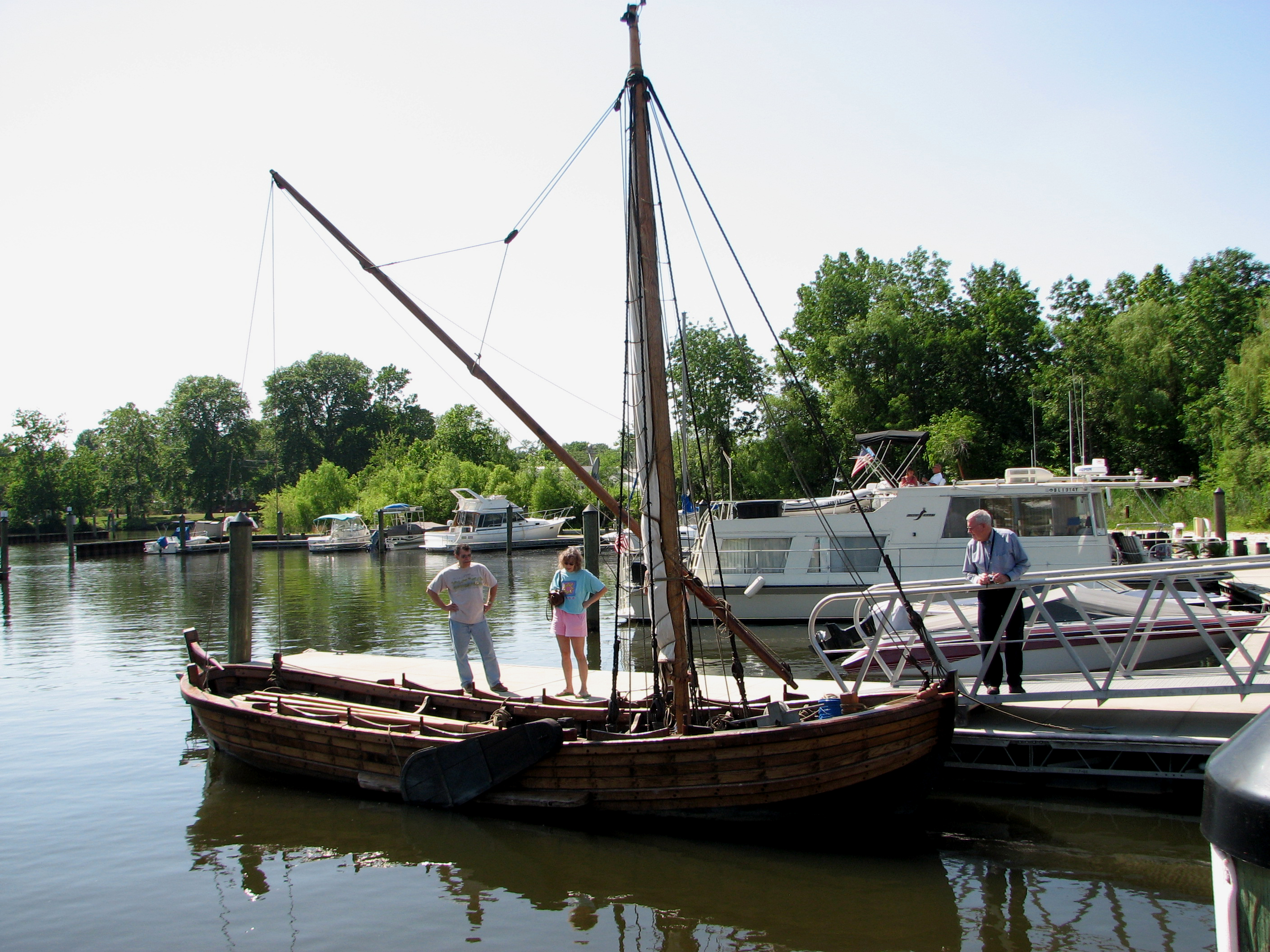
Replica of Captain John Smith's shallop

Playground...You Know, for Kids!

Historic Marker at Broadcreek Hundred

Little Yellow Bugs
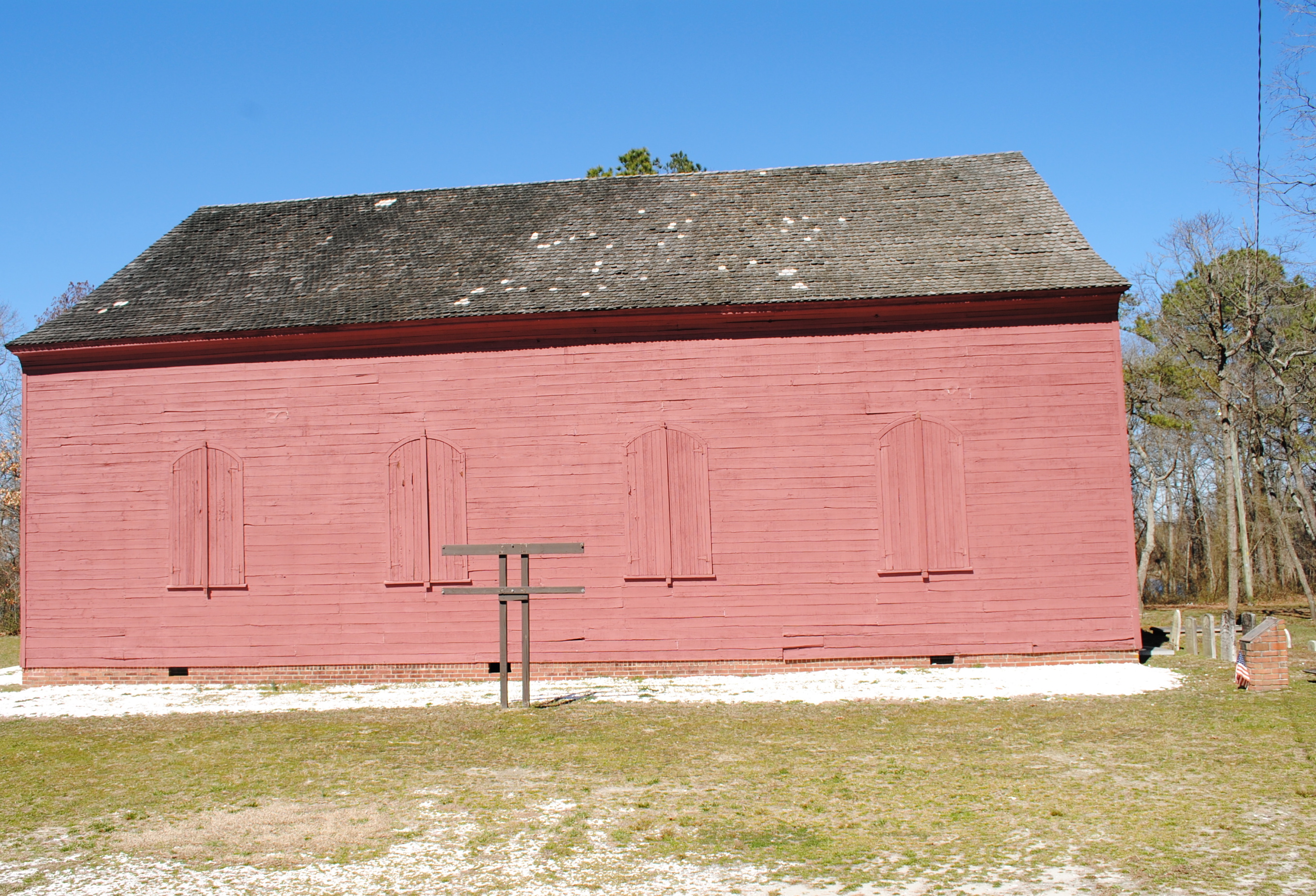
Old Christ Church - Laurel, Delaware
Our backyard-- worm's eye view
Side View of Pet Emporium

Woodland Ferry
Mrs P64 with Broadcreek Hundred Cache
Captain John Smith's Replica Crew
Riverton U. M. Church

dinobalz New Nike Hat

IMG_0782 Dickcissel

D43A70AD-CA86-4B23-9133-9635F9C042F3
Royal Farms Field

Upper Nanticoke River in Delaware looking north

Soda Can Baseball: Round 2

Backlit Clouds
#laurel#delaware #clouds

Ornate headstone
Twilight at the Farm

Sharptown Planting After

Sharptown Planting After

Passing By

Twilight at the Farm

Fields, Bridgeville, Delaware

Twilight at the Farm

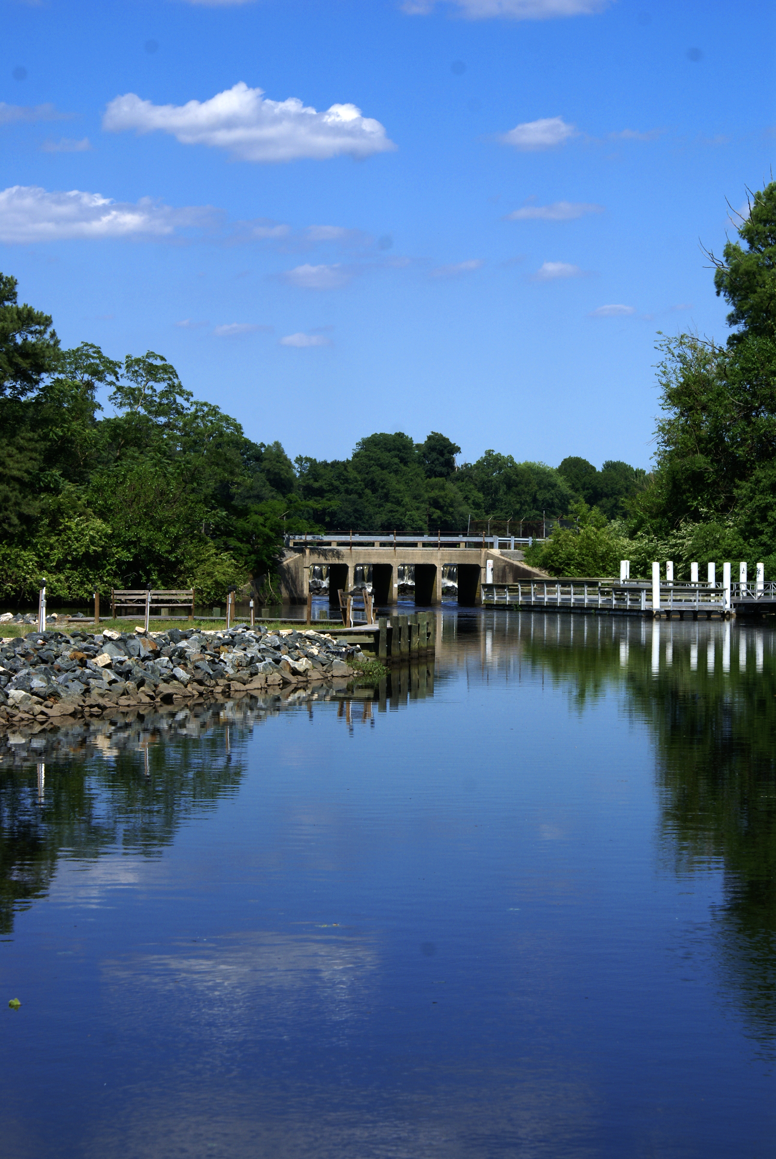
Galestown Millpond Dam
Woodland Ferry
Marshy Hope
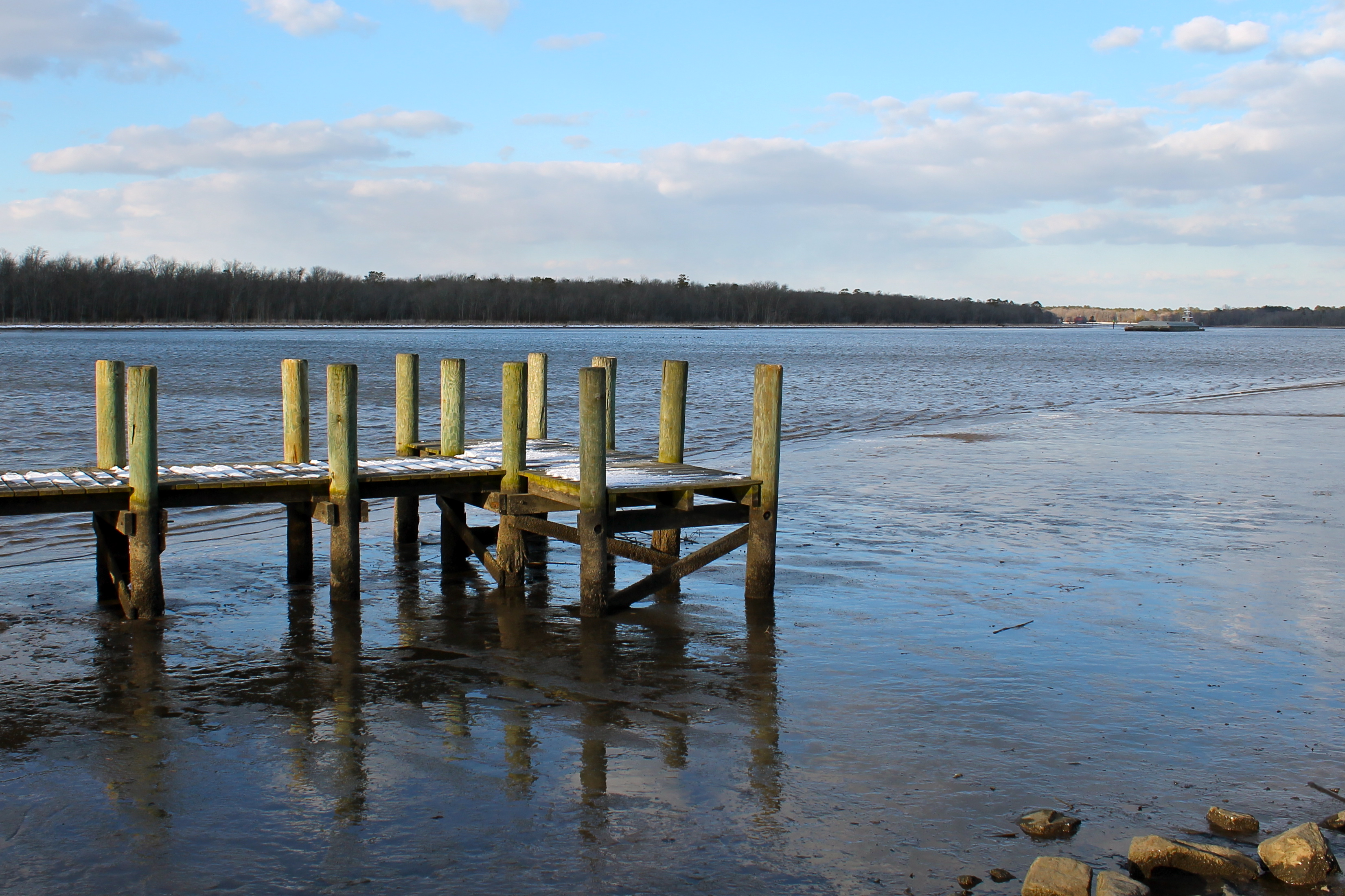
A Cold Day on the Water
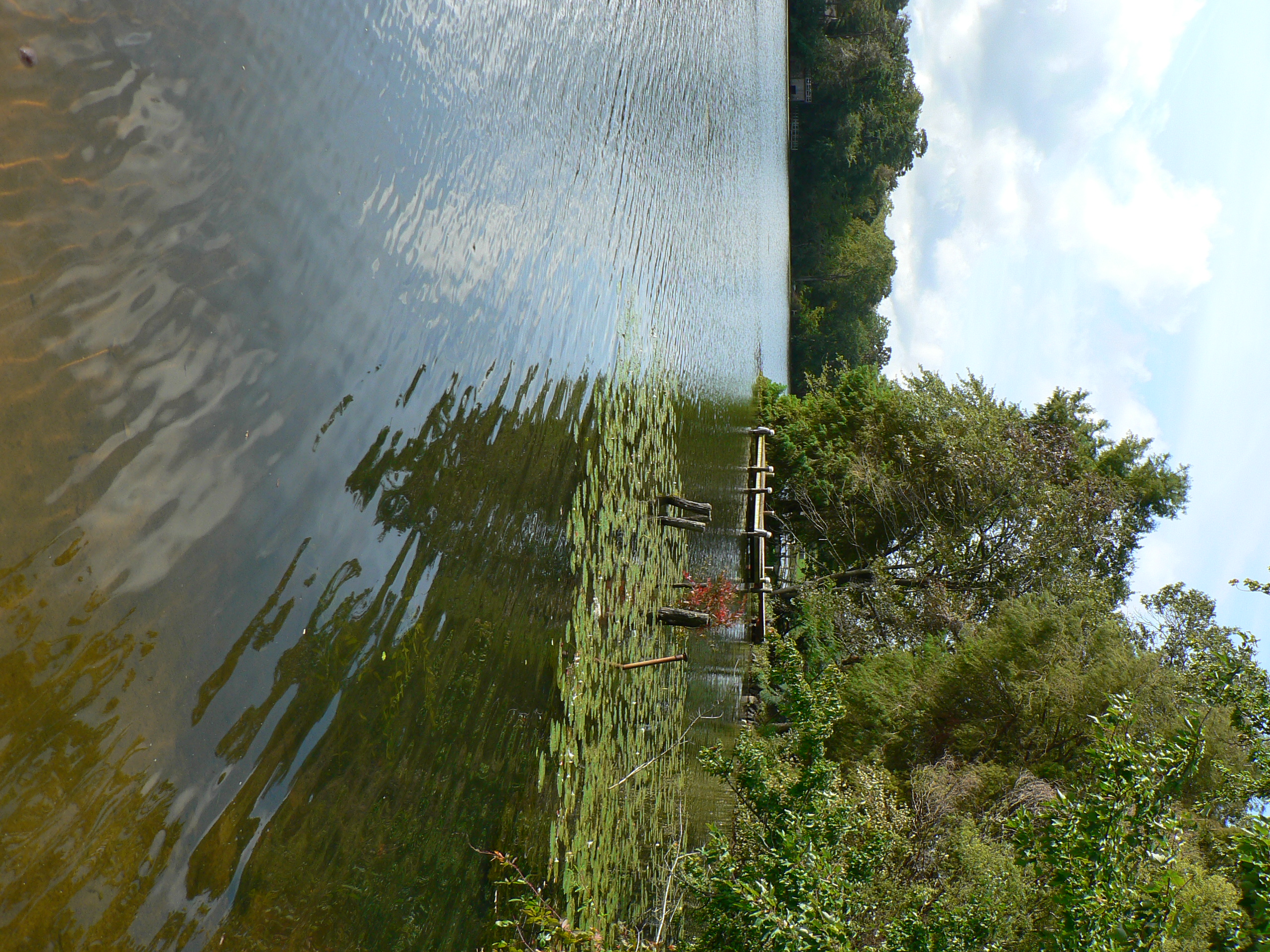
Records Pond Laurel Delaware
dock 2
Topographic Map of Butler Branch Rd, Seaford, DE, USA
Find elevation by address:

Places near Butler Branch Rd, Seaford, DE, USA:
4602 W Stein Hwy
Woodland Rd, Seaford, DE, USA
25607 Brookside Dr
River Rd, Seaford, DE, USA
Atlanta Rd, Seaford, DE, USA
6163 Mallard Point
Grace Cir, Seaford, DE, USA
417 N Porter St
Atlanta Cir, Seaford, DE, USA
7883 Gum Branch Rd
Seaford
Blades
Florence, Seaford, DE, USA
Woodland Ferry Rd, Seaford, DE, USA
26397 Line Rd
86 Line Rd
6393 Baileys Landing Dr
Baileys Landing Dr, Bethel, DE, USA
24058 Sussex Hwy
23 Sussex Hwy, Seaford, DE, USA
Recent Searches:
- Elevation of Corso Fratelli Cairoli, 35, Macerata MC, Italy
- Elevation of Tallevast Rd, Sarasota, FL, USA
- Elevation of 4th St E, Sonoma, CA, USA
- Elevation of Black Hollow Rd, Pennsdale, PA, USA
- Elevation of Oakland Ave, Williamsport, PA, USA
- Elevation of Pedrógão Grande, Portugal
- Elevation of Klee Dr, Martinsburg, WV, USA
- Elevation of Via Roma, Pieranica CR, Italy
- Elevation of Tavkvetili Mountain, Georgia
- Elevation of Hartfords Bluff Cir, Mt Pleasant, SC, USA