Elevation of Co Rd, Hagarville, AR, USA
Location: United States > Arkansas > Johnson County > Perry Township > Hagarville >
Longitude: -93.239914
Latitude: 35.697317
Elevation: 266m / 873feet
Barometric Pressure: 98KPa
Elevation Map:
Satellite Map:
Related Photos:
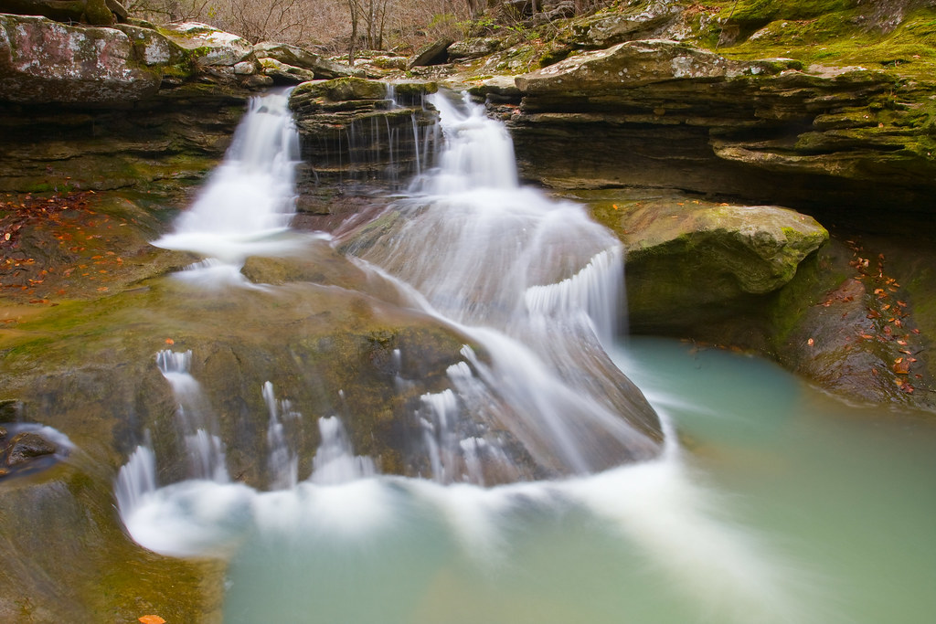
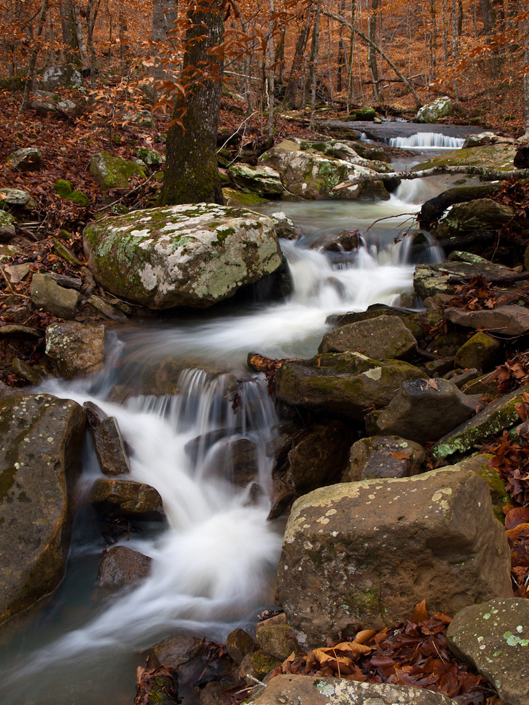
Graves Creek Mini-Twin
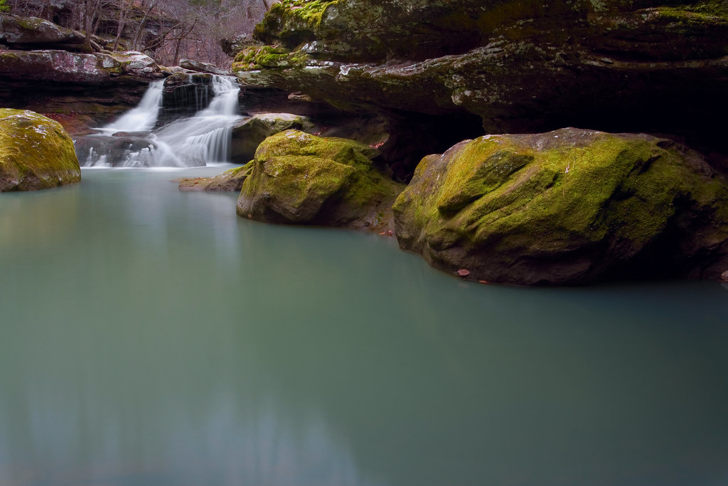
Graves Creek Falls II
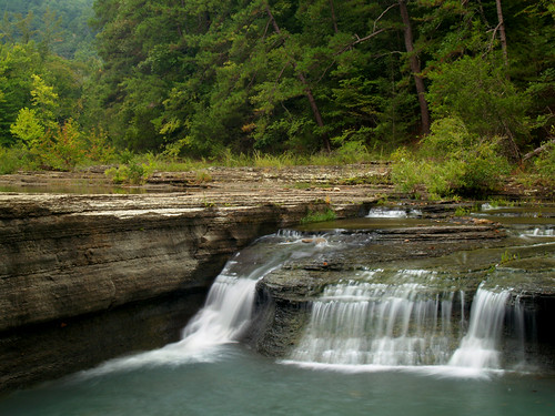
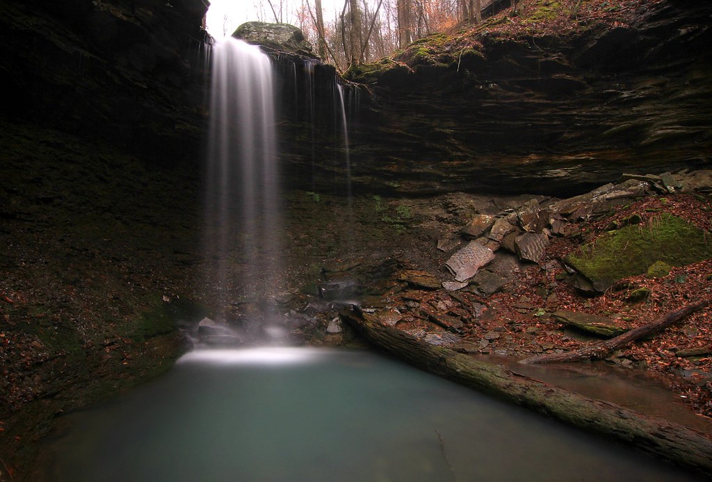
Haw Creek Falls
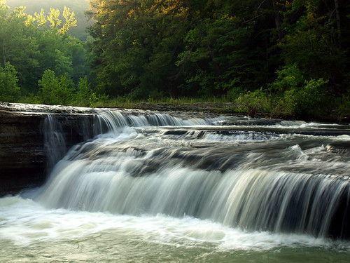
Haw Creek Falls
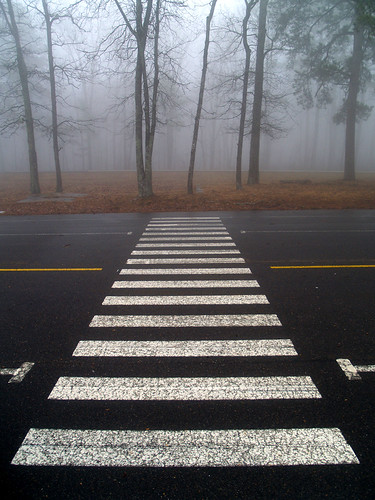
Foggy crossing
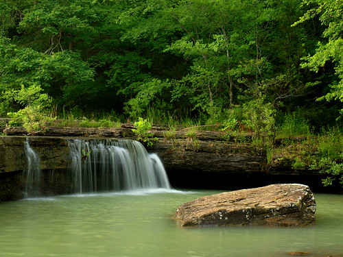
Haw Creek Falls

The Ozarks

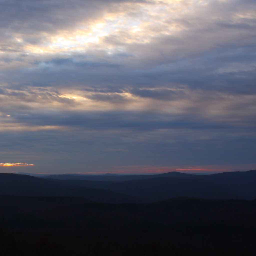
Ozark Sunset

Overlook this

ready for new life
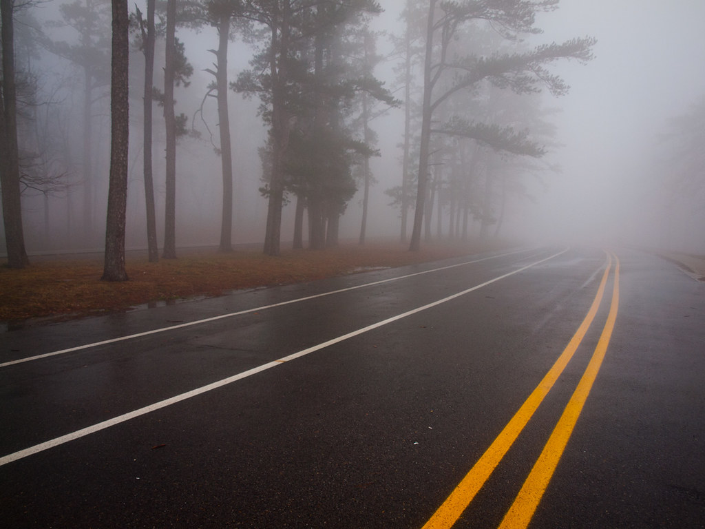
Just a wee bit of fog
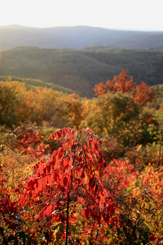
Autumn Light
the blues

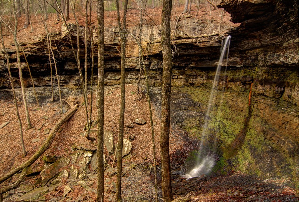
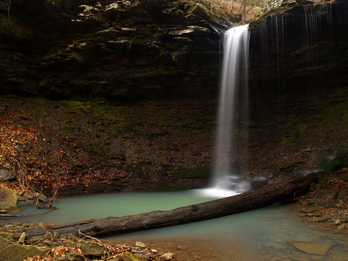
Pam's Grotto
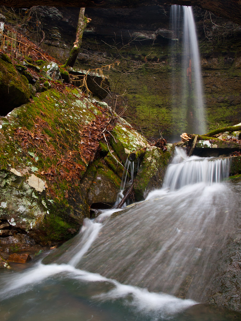
Pack Rat Falls
Haw Creek Falls
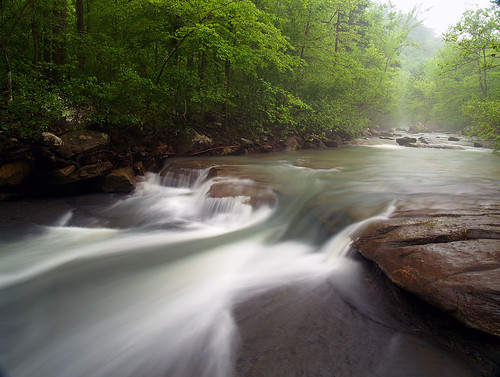
Haw Creek

Haw Creek
Out Waterfallin'
Haw Creek Falls
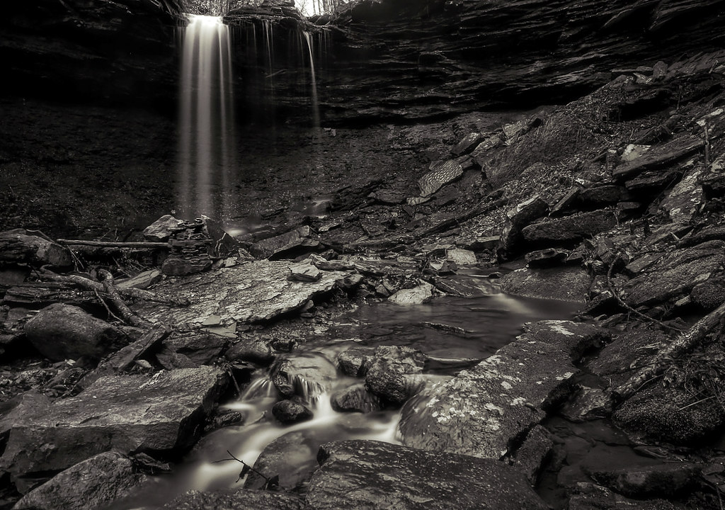
Pam's Grotto Falls
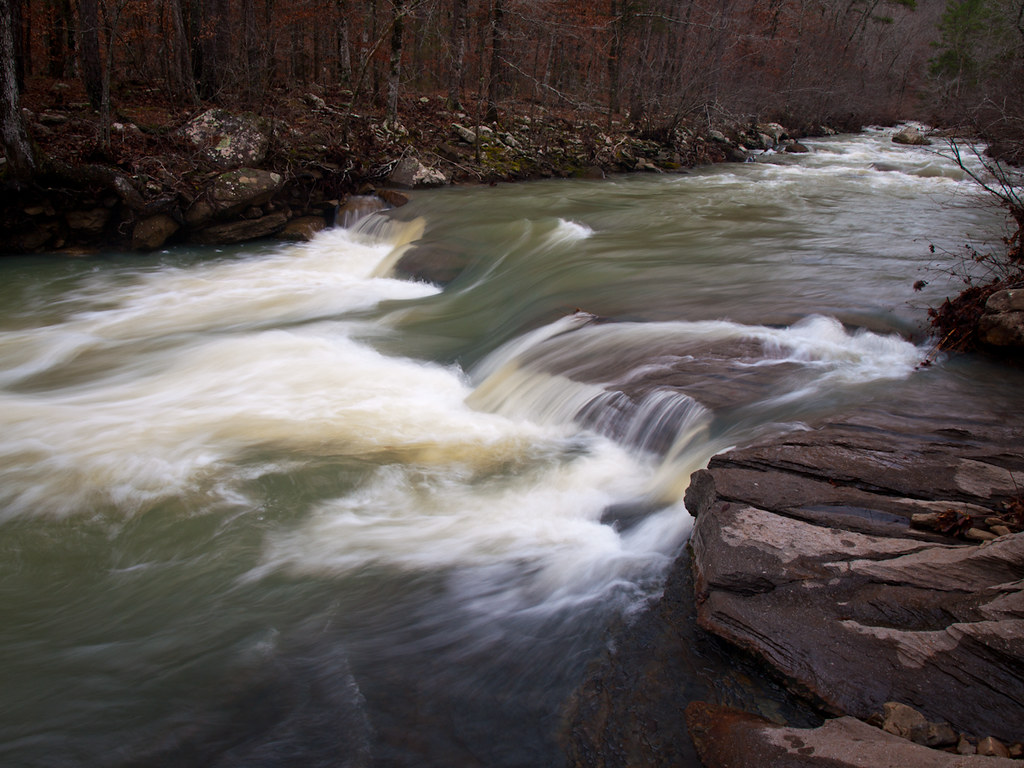
Hwy. 123 Falls
Highway 123 Falls
Pack Rat Falls
Haw Creek Falls
Highway 123 Falls
Son Of A Beech
Haw Creek
Pack Rat Falls

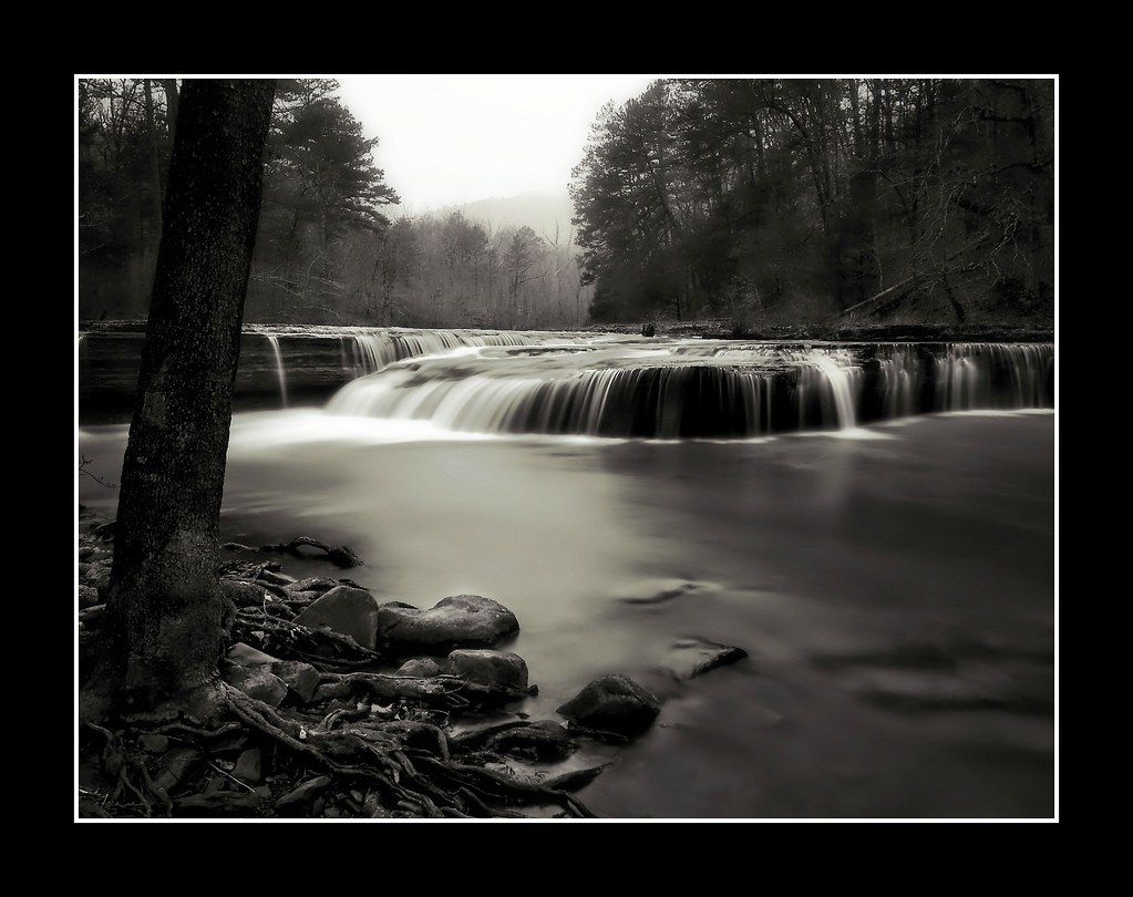
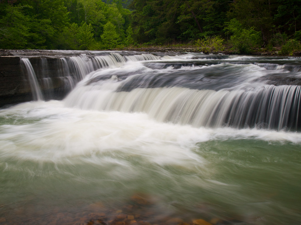
Bear Creek Falls
Topographic Map of Co Rd, Hagarville, AR, USA
Find elevation by address:

Places near Co Rd, Hagarville, AR, USA:
Perry Township
Parking For Arkansas Sphinx
Limestone
Boston Mountains
Co Rd, Hagarville, AR, USA
Pleasant Hill Township
Co Rd, Hagarville, AR, USA
Deer
8 Crestview Ave, Harrison, AR, USA
Arkansas 16
AR-7, Sand Gap, AR, USA
Sand Gap
AR-16, Sand Gap, AR, USA
AR-7, Dover, AR, USA
771 Co Rd 3790
AR-21, Ozone, AR, USA
Freeman Township
21923 Ar-21
19984 Ar-21
AR-, Dover, AR, USA
Recent Searches:
- Elevation of Corso Fratelli Cairoli, 35, Macerata MC, Italy
- Elevation of Tallevast Rd, Sarasota, FL, USA
- Elevation of 4th St E, Sonoma, CA, USA
- Elevation of Black Hollow Rd, Pennsdale, PA, USA
- Elevation of Oakland Ave, Williamsport, PA, USA
- Elevation of Pedrógão Grande, Portugal
- Elevation of Klee Dr, Martinsburg, WV, USA
- Elevation of Via Roma, Pieranica CR, Italy
- Elevation of Tavkvetili Mountain, Georgia
- Elevation of Hartfords Bluff Cir, Mt Pleasant, SC, USA