Elevation of AR-21, Ozone, AR, USA
Location: United States > Arkansas > Johnson County > Sherman Township > Ozone >
Longitude: -93.408402
Latitude: 35.729272
Elevation: 604m / 1982feet
Barometric Pressure: 94KPa
Elevation Map:
Satellite Map:
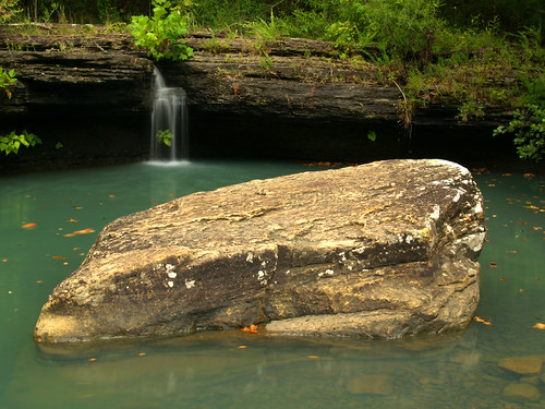
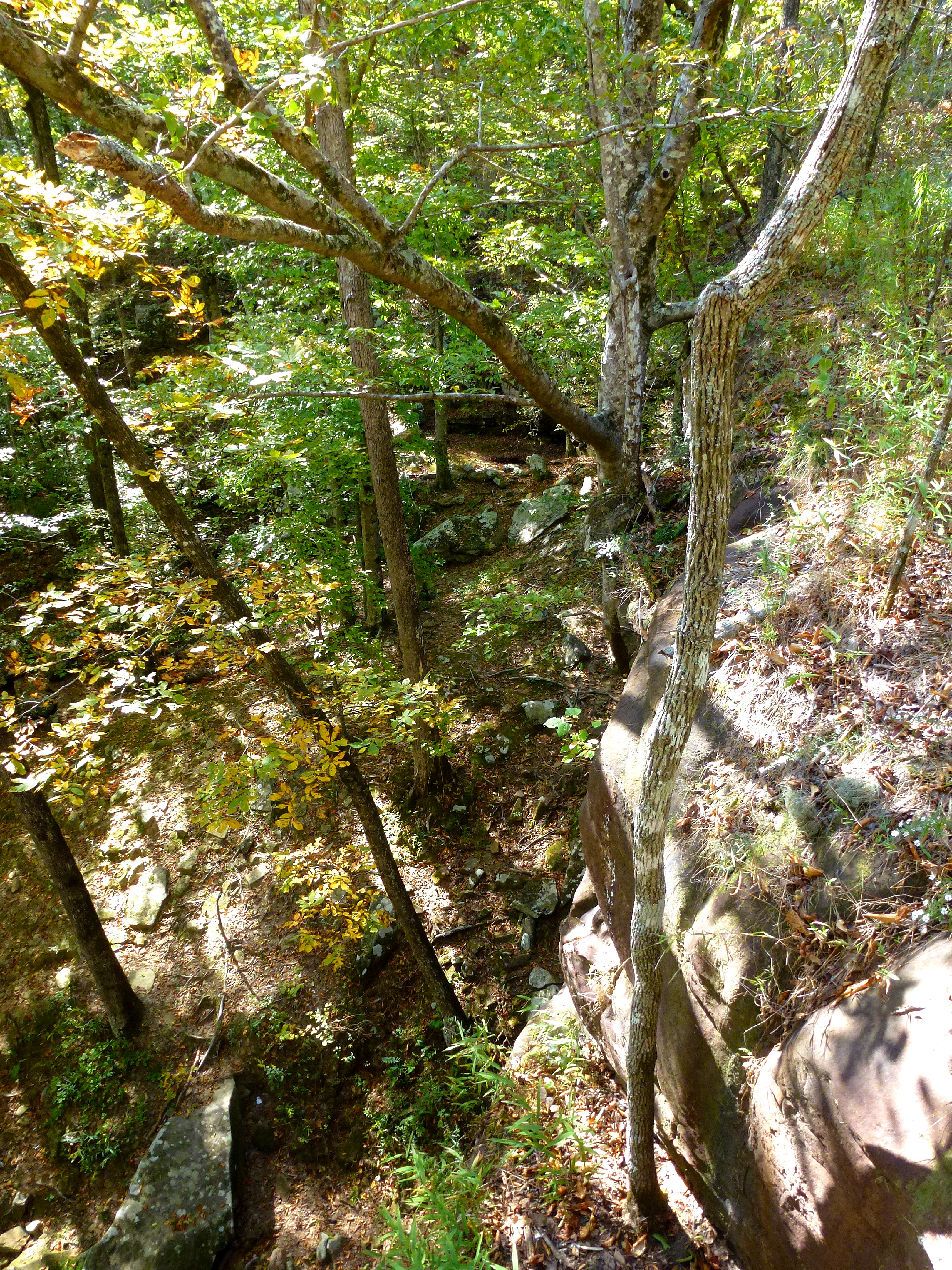
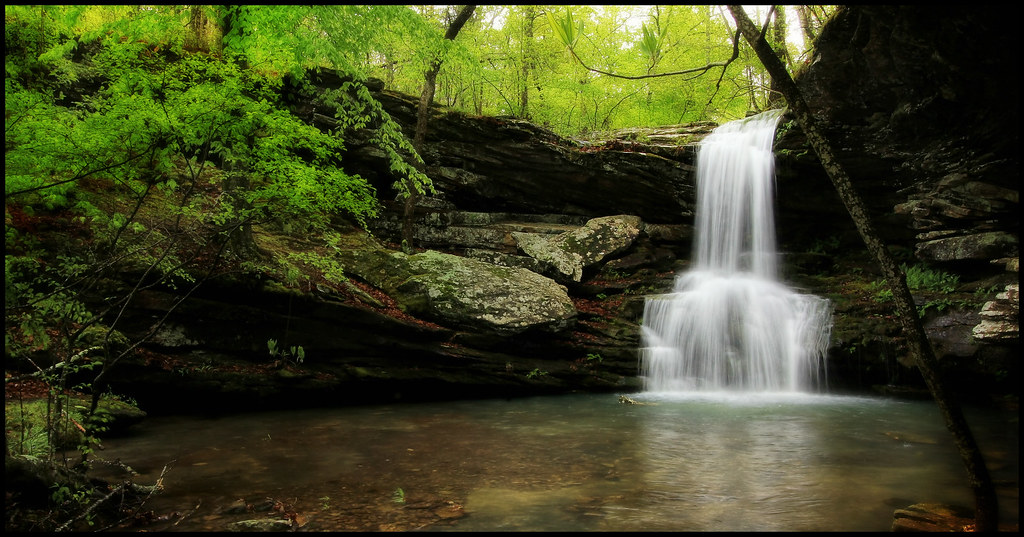
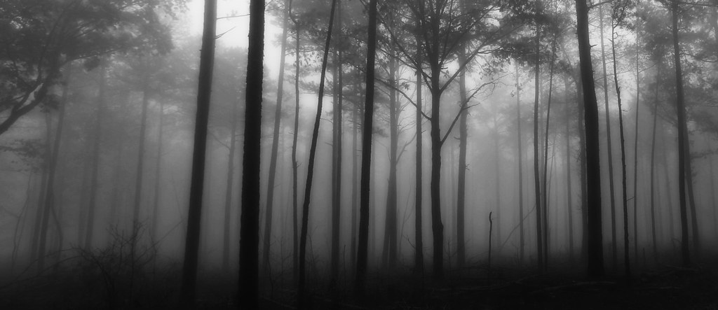
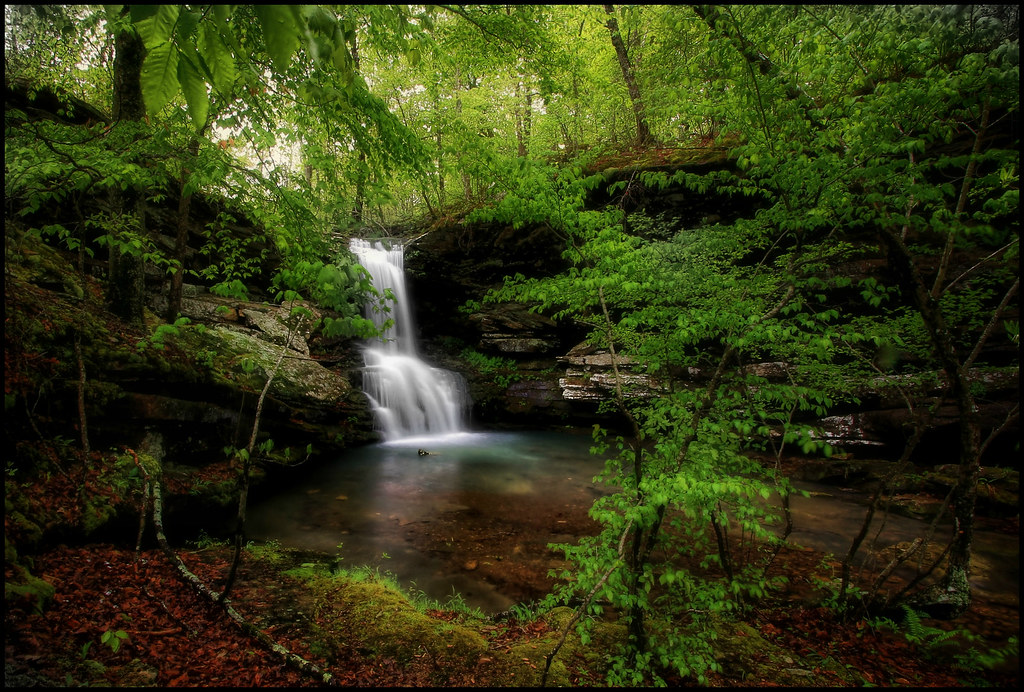
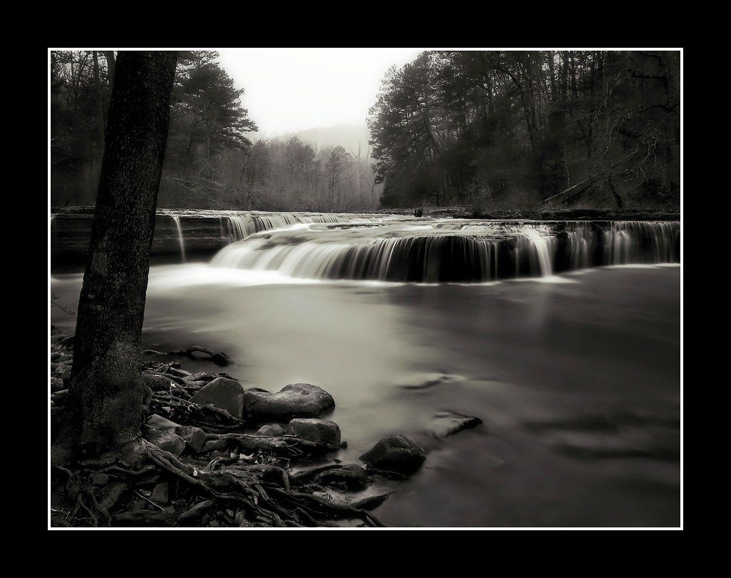
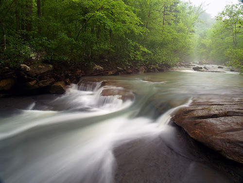
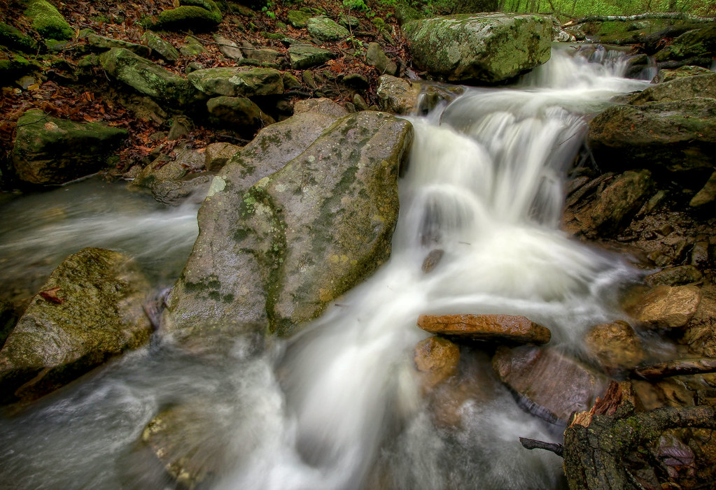
Related Photos:
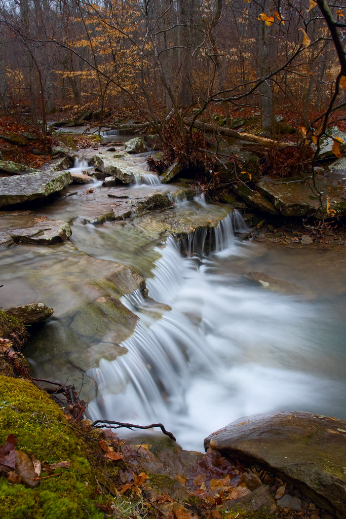
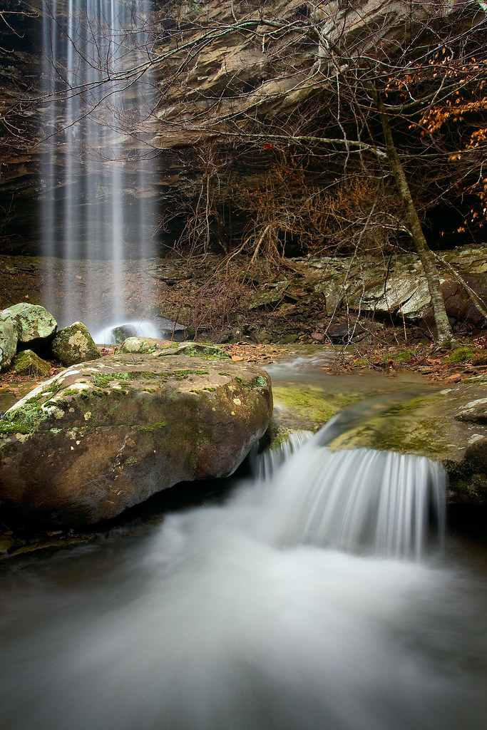
Making its way...
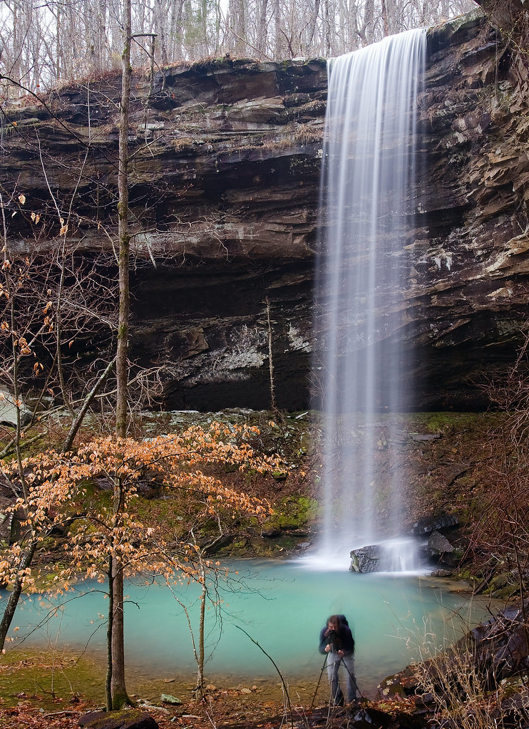
Waterfail - mediocre photo of a beautiful waterfall.
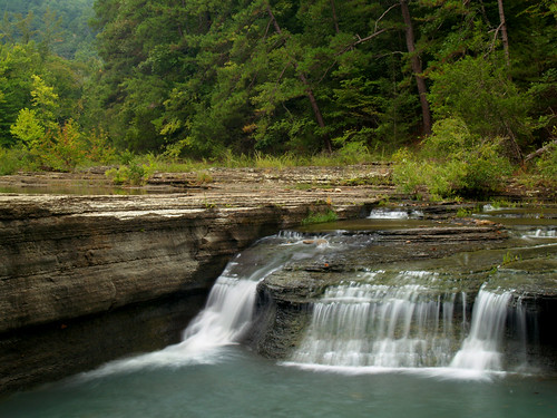
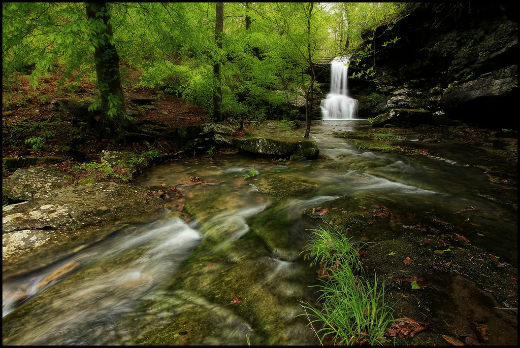
Haw Creek Falls
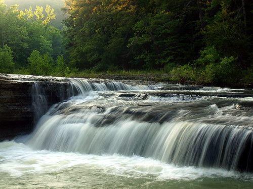
Haw Creek Falls
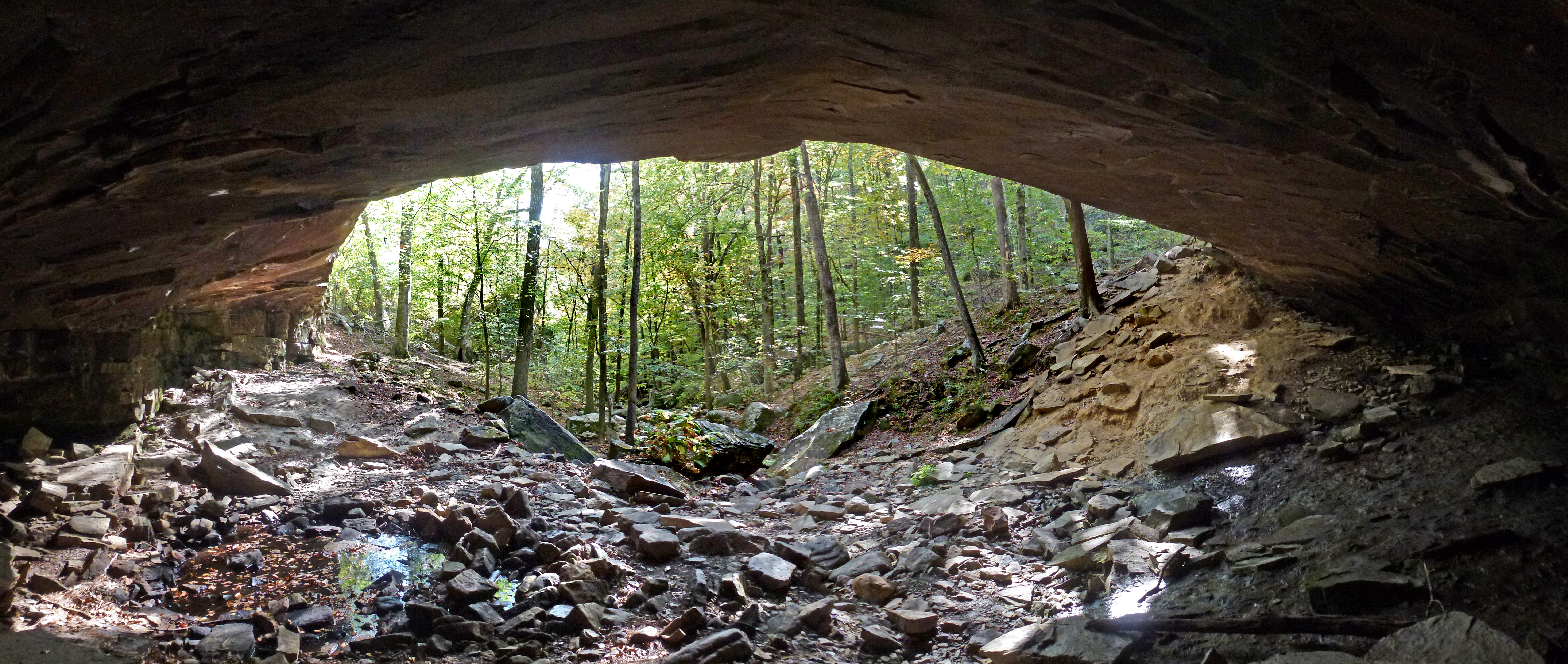
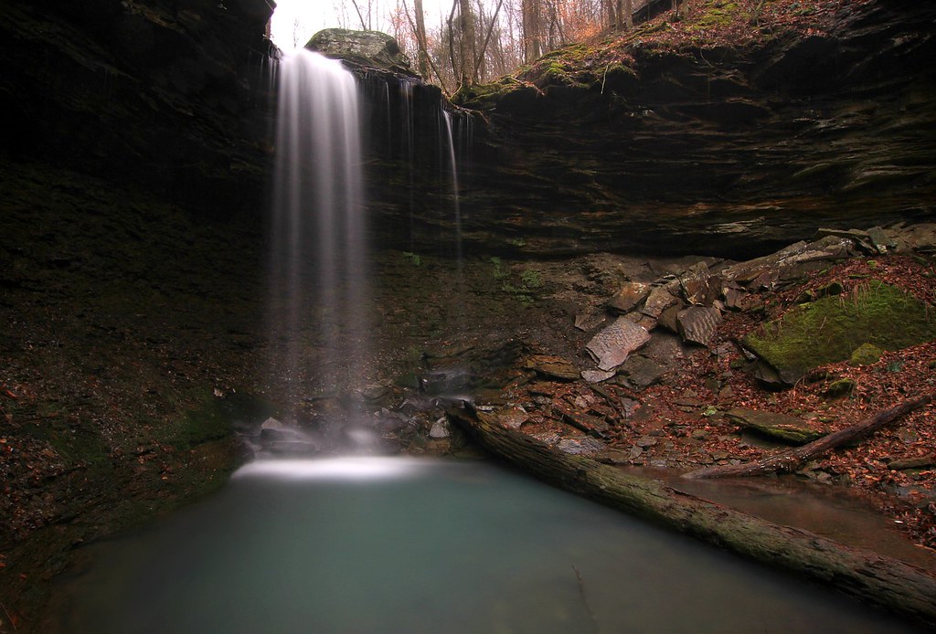
View from the Dismal Creek Rockhouse
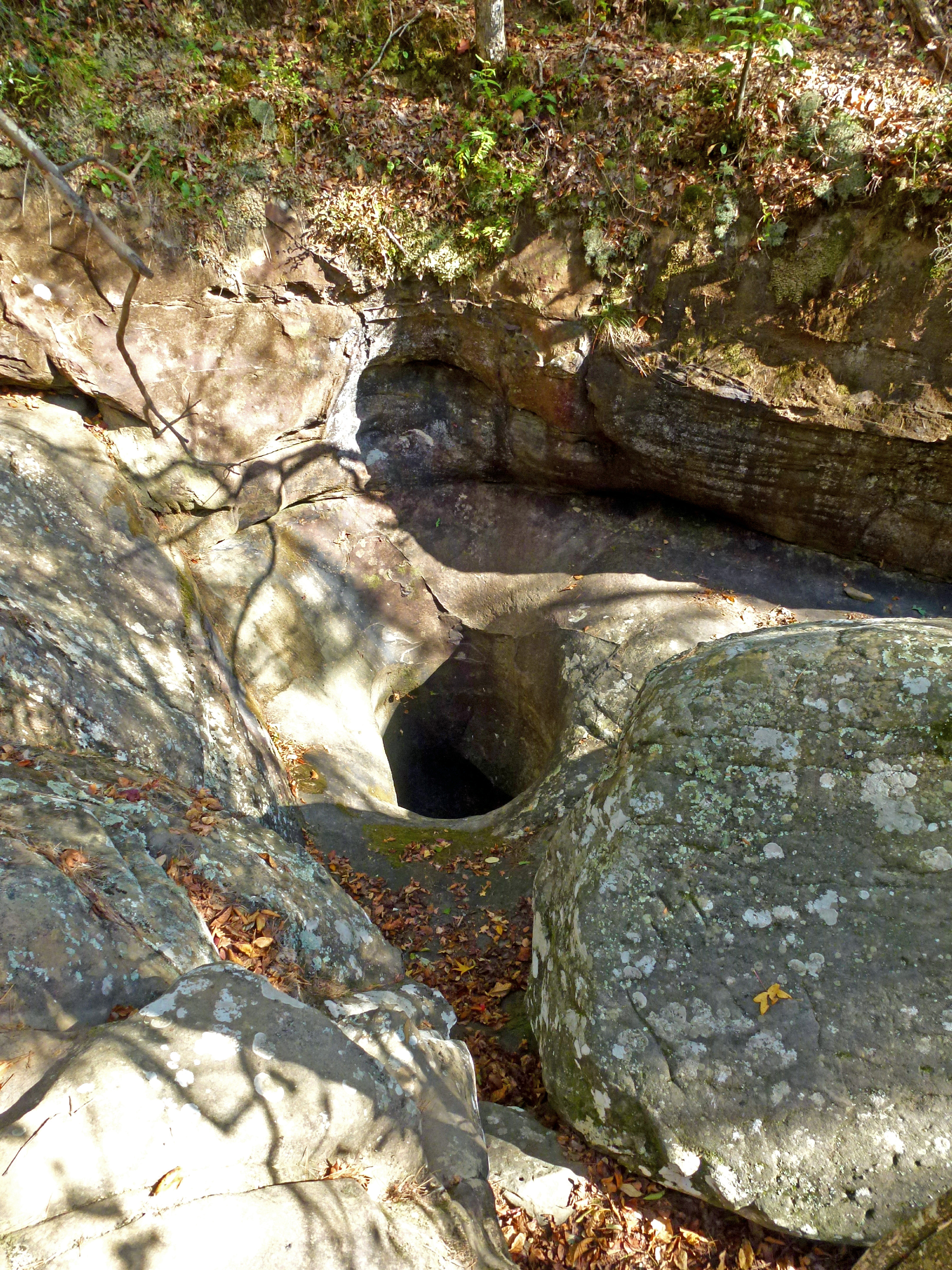
Another View Above the Glory Hole on Dismal Creek

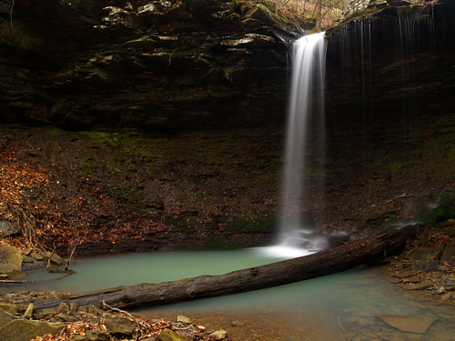
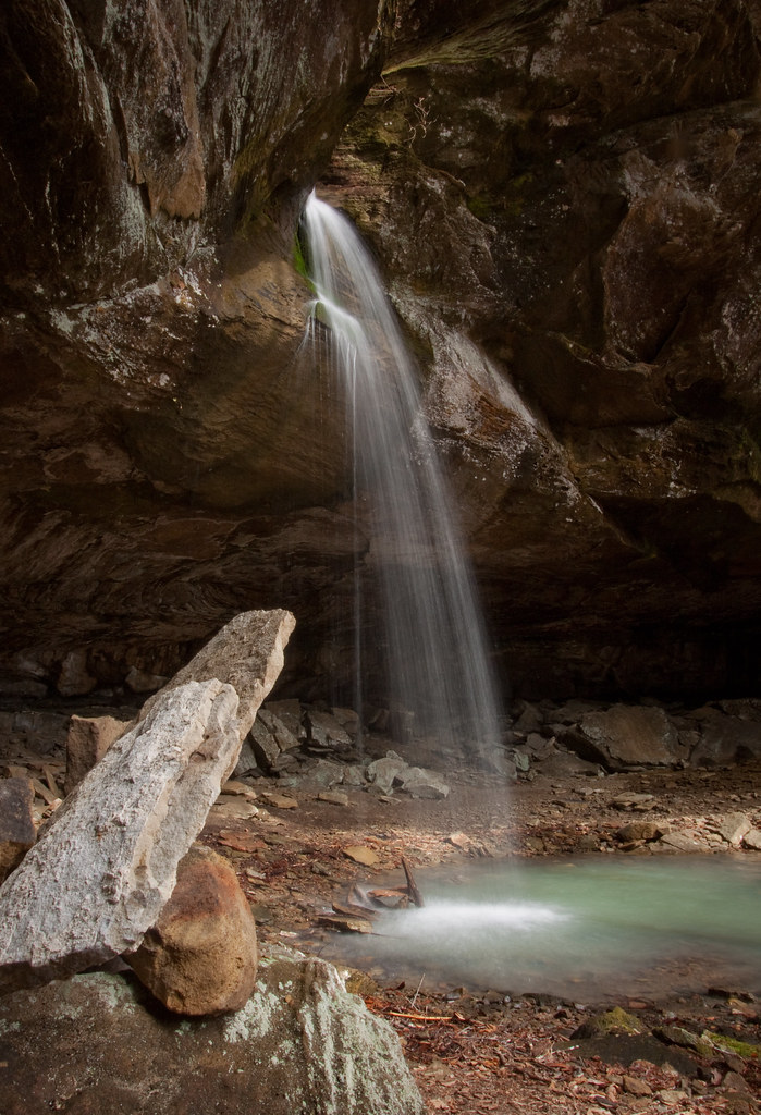
Pam's Grotto
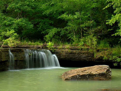
Haw Creek Falls
Haw Creek-Oblique View
Haw Creek Falls
High View of Dismal Creek

Pam's Grotto
another one from Magnolia Falls
Out Waterfallin'
Aqua Curtain Thunder Force

Right around the corner
Bowers Hollow detail
...reducing boulders to pebbles, pebbles to sand...
Pack Rat Falls
Magnolia Falls
Haw Creek Falls
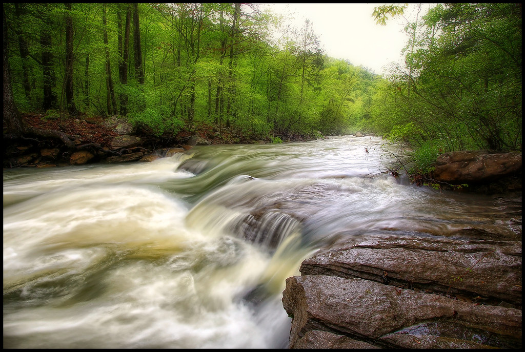
Haw Creek
Downstream from Pam's Grotto
Pack Rat Falls
Magnolia Falls

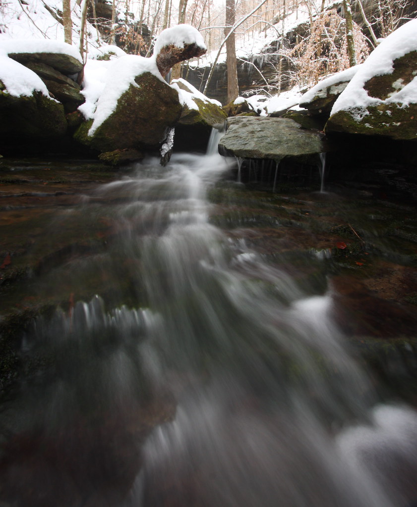
Dismal Creek
natural attention
Haw creek
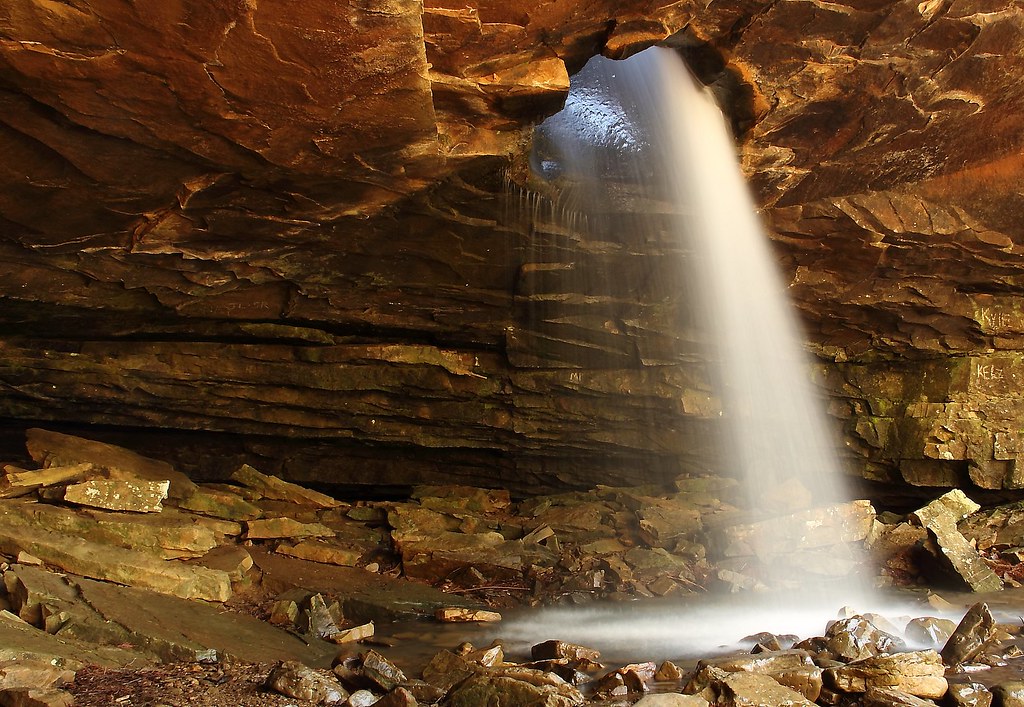
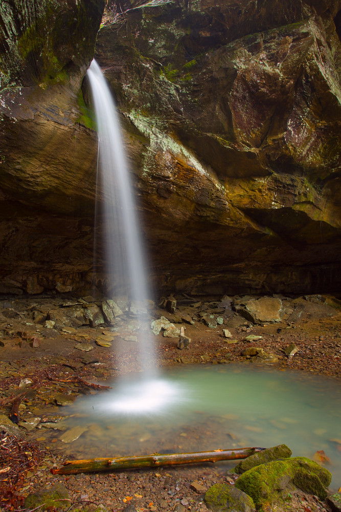
The Glory Hole
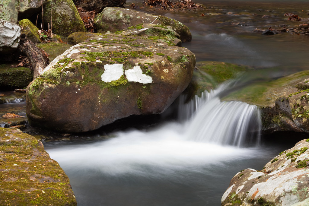
going with the flow
Topographic Map of AR-21, Ozone, AR, USA
Find elevation by address:

Places near AR-21, Ozone, AR, USA:
21923 Ar-21
19984 Ar-21
18626 Ar-21
Co Rd, Hagarville, AR, USA
Sherman Township
Boston Mountains
Fallsville
Co Rd, Hagarville, AR, USA
Co Rd, Ozone, AR, USA
Co Rd, Ozone, AR, USA
AR-21, Ozone, AR, USA
Ozone
Boston Township
Co Rd, Ozone, AR, USA
Co Rd, Ozone, AR, USA
Mulberry Township
Perry Township
Limestone
Turner Ward Knob
Parking For Arkansas Sphinx
Recent Searches:
- Elevation of Corso Fratelli Cairoli, 35, Macerata MC, Italy
- Elevation of Tallevast Rd, Sarasota, FL, USA
- Elevation of 4th St E, Sonoma, CA, USA
- Elevation of Black Hollow Rd, Pennsdale, PA, USA
- Elevation of Oakland Ave, Williamsport, PA, USA
- Elevation of Pedrógão Grande, Portugal
- Elevation of Klee Dr, Martinsburg, WV, USA
- Elevation of Via Roma, Pieranica CR, Italy
- Elevation of Tavkvetili Mountain, Georgia
- Elevation of Hartfords Bluff Cir, Mt Pleasant, SC, USA