Elevation of AR-21, Ozone, AR, USA
Location: United States > Arkansas > Johnson County > Sherman Township > Ozone >
Longitude: -93.419835
Latitude: 35.7005038
Elevation: 546m / 1791feet
Barometric Pressure: 95KPa
Elevation Map:
Satellite Map:
Related Photos:

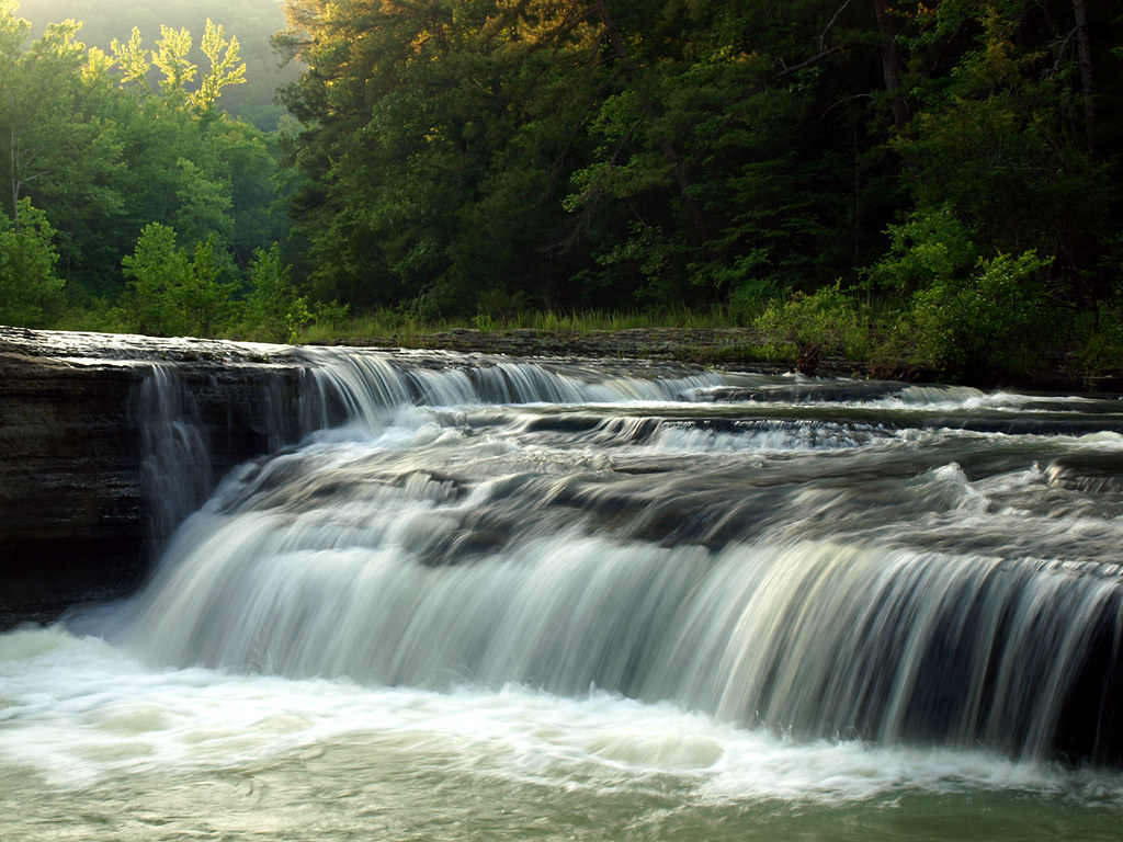
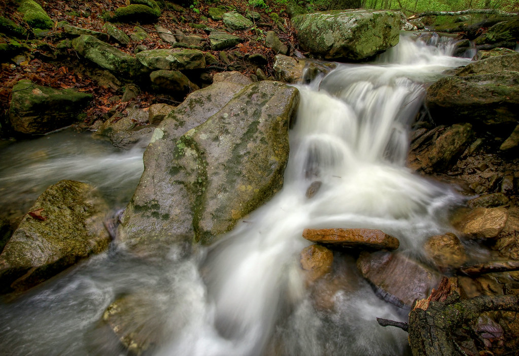
Ozarks Fall

Hawk Hollow

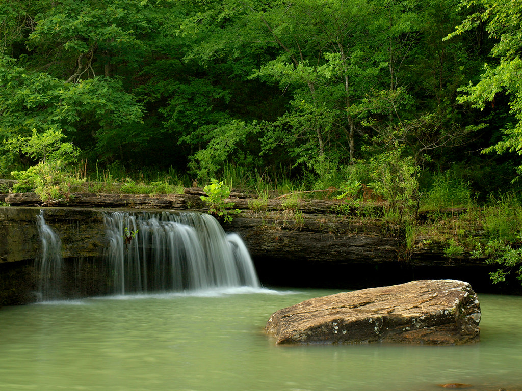
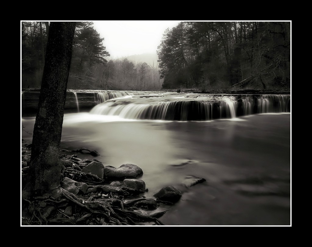
Haw Creek Falls
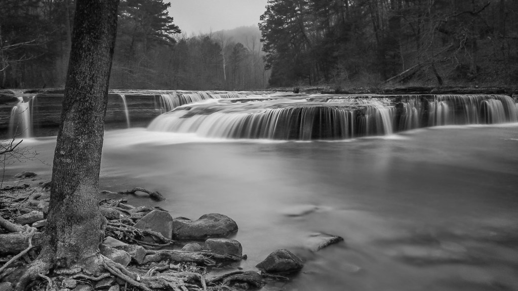
Haw Creek Falls

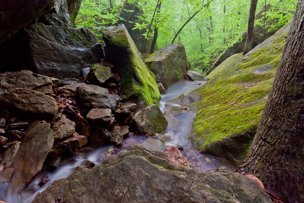
Another View Above the Glory Hole on Dismal Creek
Pam's Grotto

View from the Dismal Creek Rockhouse
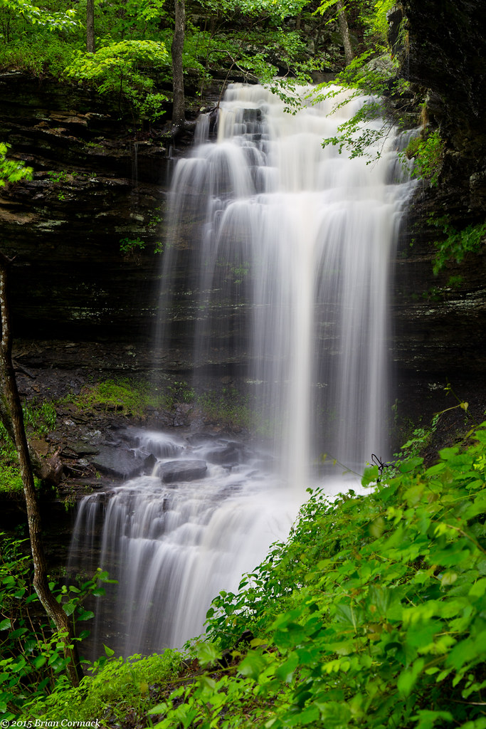
Haw Creek Falls

High View of Dismal Creek

Haw Creek Falls

Haw Creek-Oblique View

Haw Creek
Pack Rat Falls

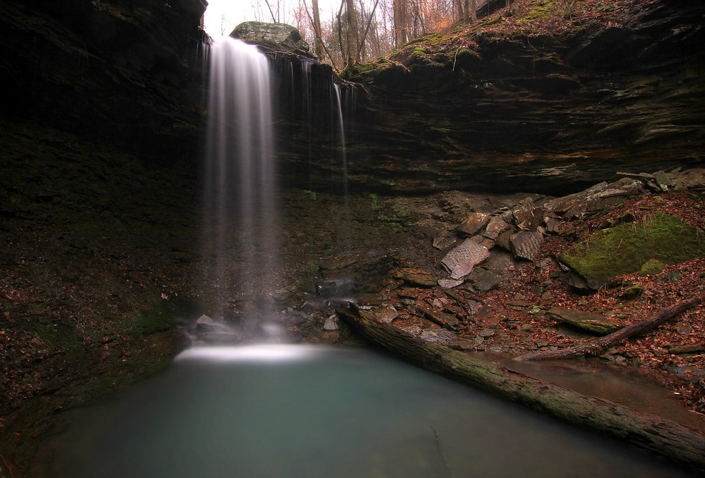
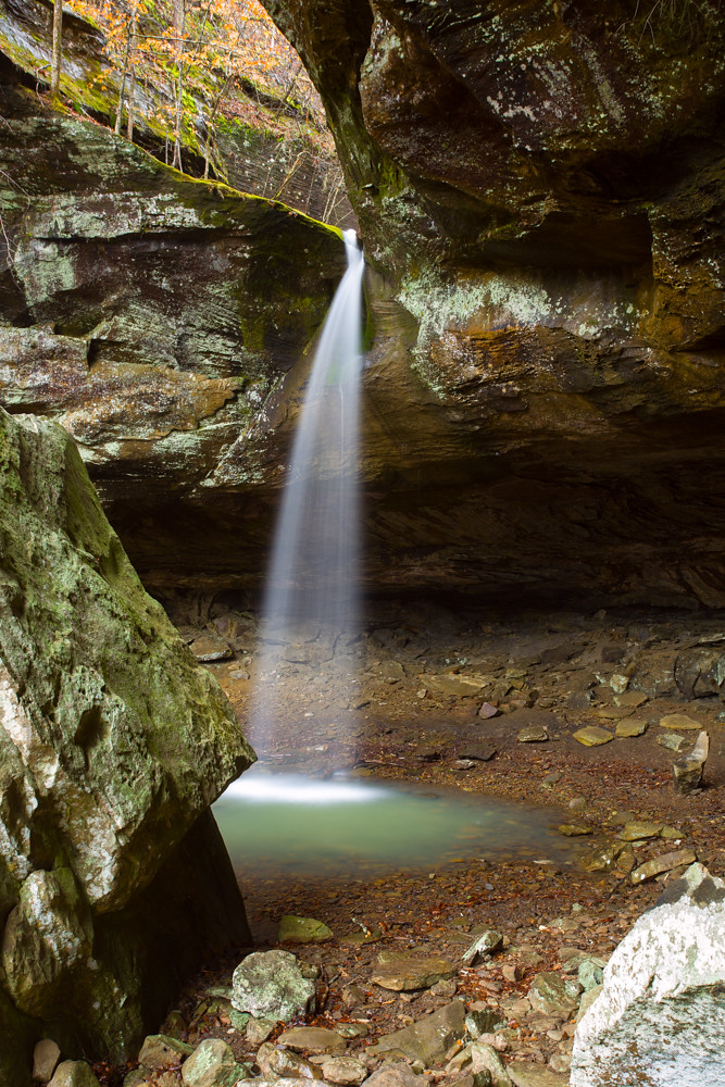
Glory Hole Waterfall

The Glory Hole
Downstream from Pam's Grotto

Out Waterfallin'
Haw Creek Falls
Haw Creek Falls

Pam's Grotto

Acord Hollow

going with the flow

Slot Rock Falls

...reducing boulders to pebbles, pebbles to sand...

Haw Creek
Water over time

water / time

Acord Hollow Falls
Acord Hollow Falls

Pack Rat Falls

Acord Hollow Falls
Topographic Map of AR-21, Ozone, AR, USA
Find elevation by address:

Places near AR-21, Ozone, AR, USA:
18626 Ar-21
21923 Ar-21
AR-21, Ozone, AR, USA
Sherman Township
Co Rd, Ozone, AR, USA
Co Rd, Ozone, AR, USA
Co Rd, Hagarville, AR, USA
AR-21, Ozone, AR, USA
Ozone
Co Rd, Ozone, AR, USA
Co Rd, Hagarville, AR, USA
Boston Mountains
Fallsville
Co Rd, Ozone, AR, USA
Mulberry Township
Boston Township
Johnson County
Red Lick Township
Perry Township
Parking For Arkansas Sphinx
Recent Searches:
- Elevation of Corso Fratelli Cairoli, 35, Macerata MC, Italy
- Elevation of Tallevast Rd, Sarasota, FL, USA
- Elevation of 4th St E, Sonoma, CA, USA
- Elevation of Black Hollow Rd, Pennsdale, PA, USA
- Elevation of Oakland Ave, Williamsport, PA, USA
- Elevation of Pedrógão Grande, Portugal
- Elevation of Klee Dr, Martinsburg, WV, USA
- Elevation of Via Roma, Pieranica CR, Italy
- Elevation of Tavkvetili Mountain, Georgia
- Elevation of Hartfords Bluff Cir, Mt Pleasant, SC, USA