Elevation of AR-16, Sand Gap, AR, USA
Location: United States > Arkansas > Newton County > Pleasant Hill Township >
Longitude: -93.161287
Latitude: 35.8210711
Elevation: 646m / 2119feet
Barometric Pressure: 94KPa
Elevation Map:
Satellite Map:
Related Photos:
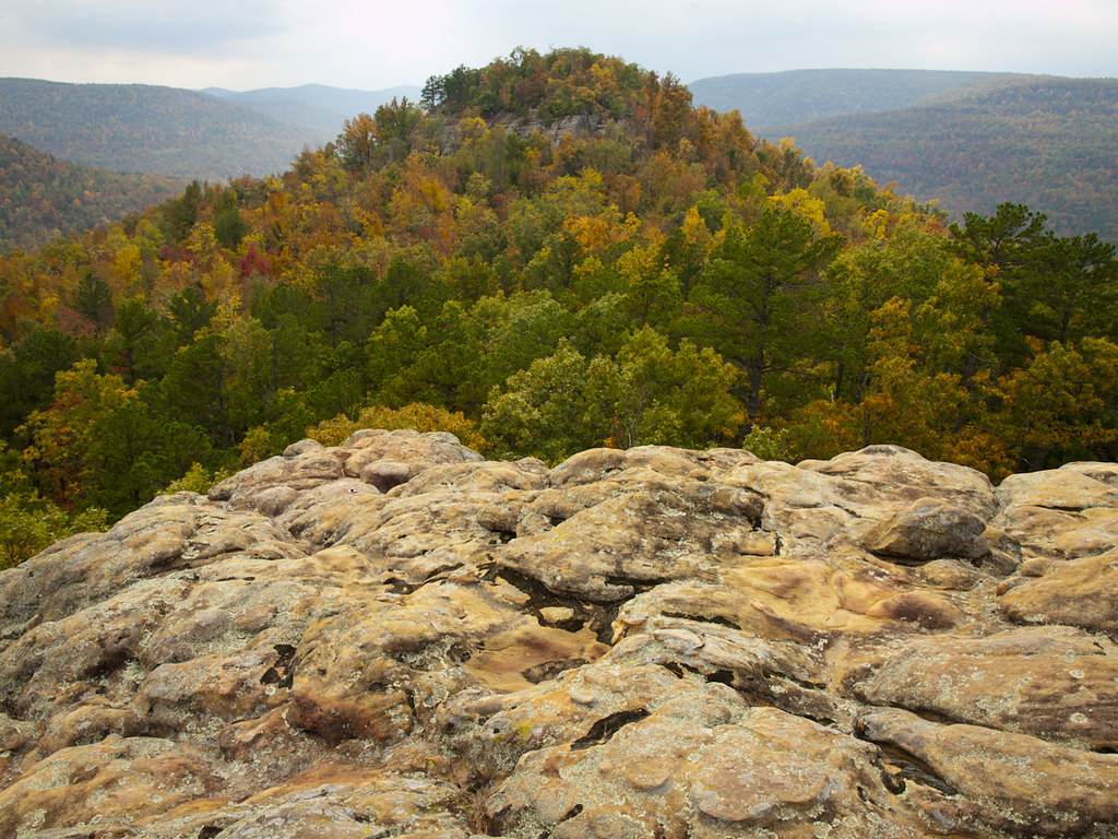
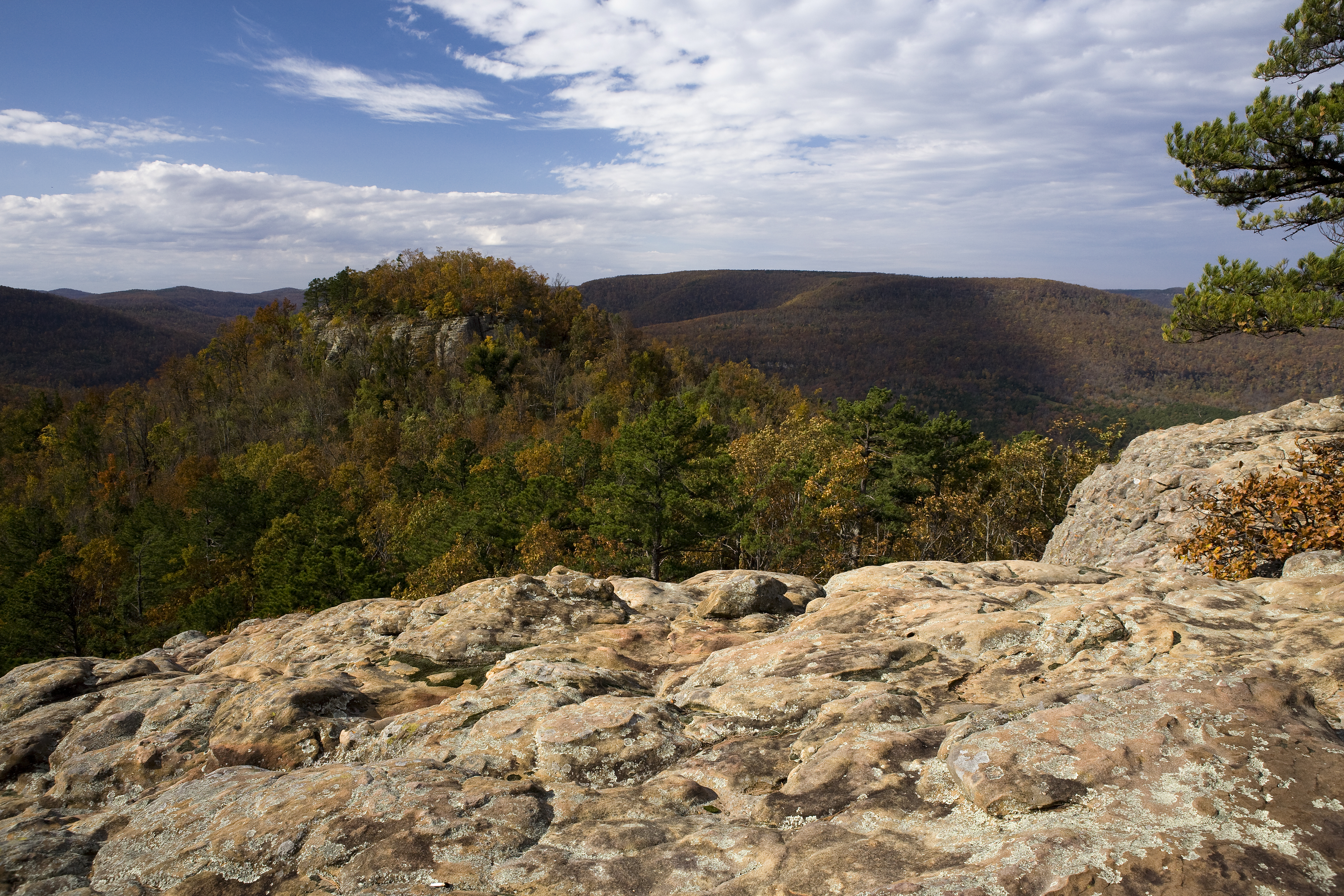
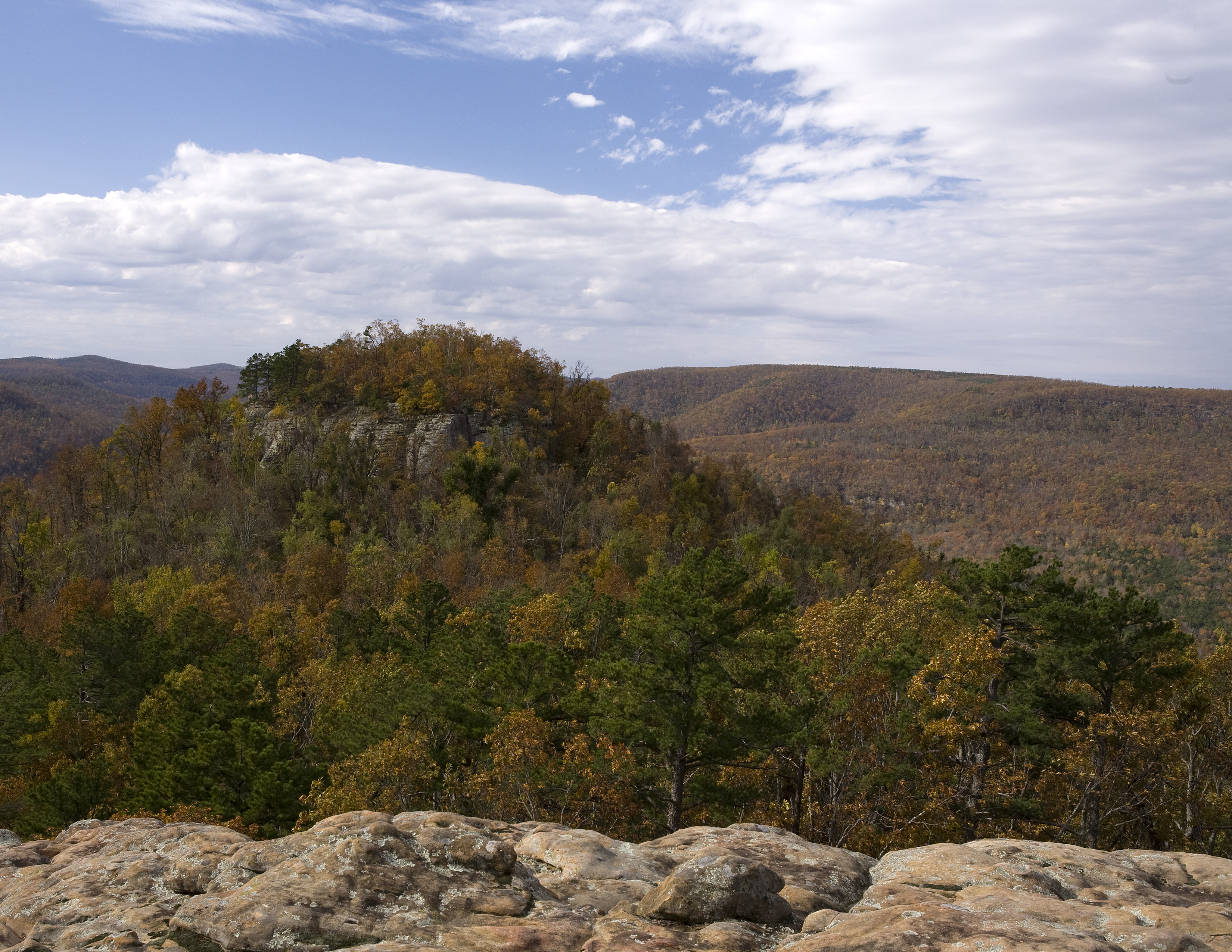
Sam's Throne
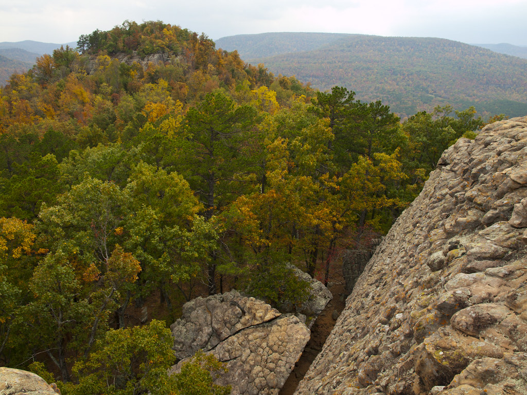
Sam's Throne
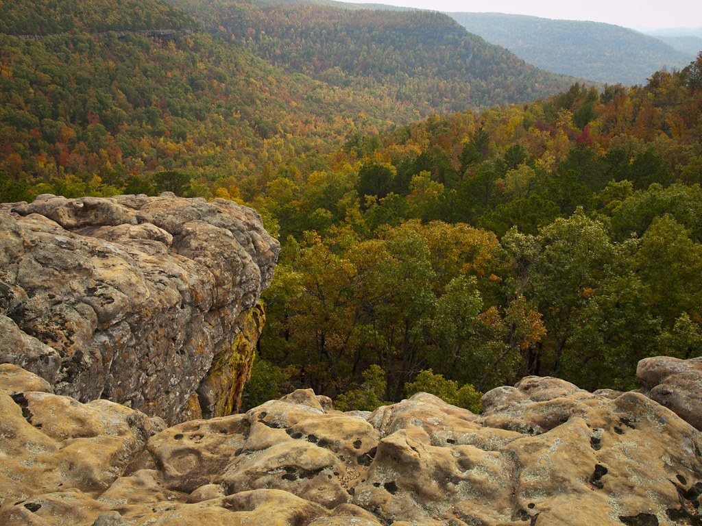
Sam's Throne
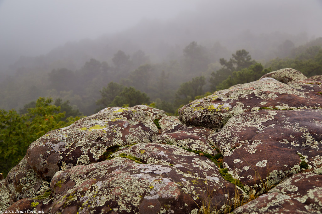
Sam's Throne
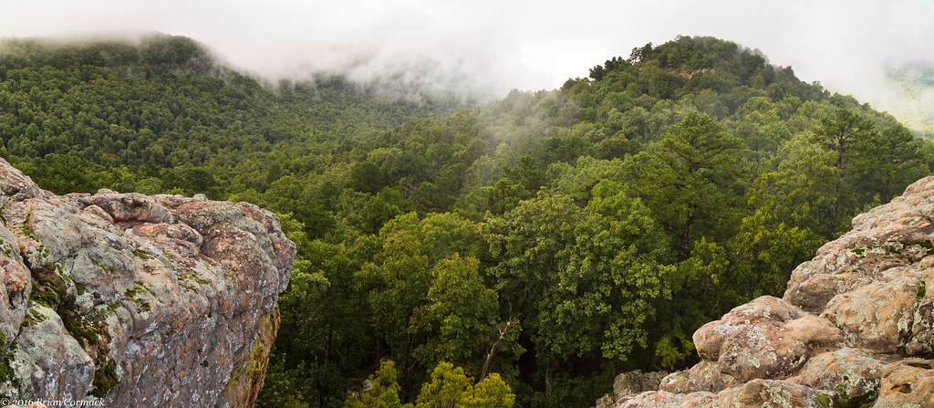
Sam's Throne
Sam's Throne
Sam's Throne- Arkansas

Hungry Grasshopper
Cliff House Inn, Jasper, AR

Grasshopper in Autumn
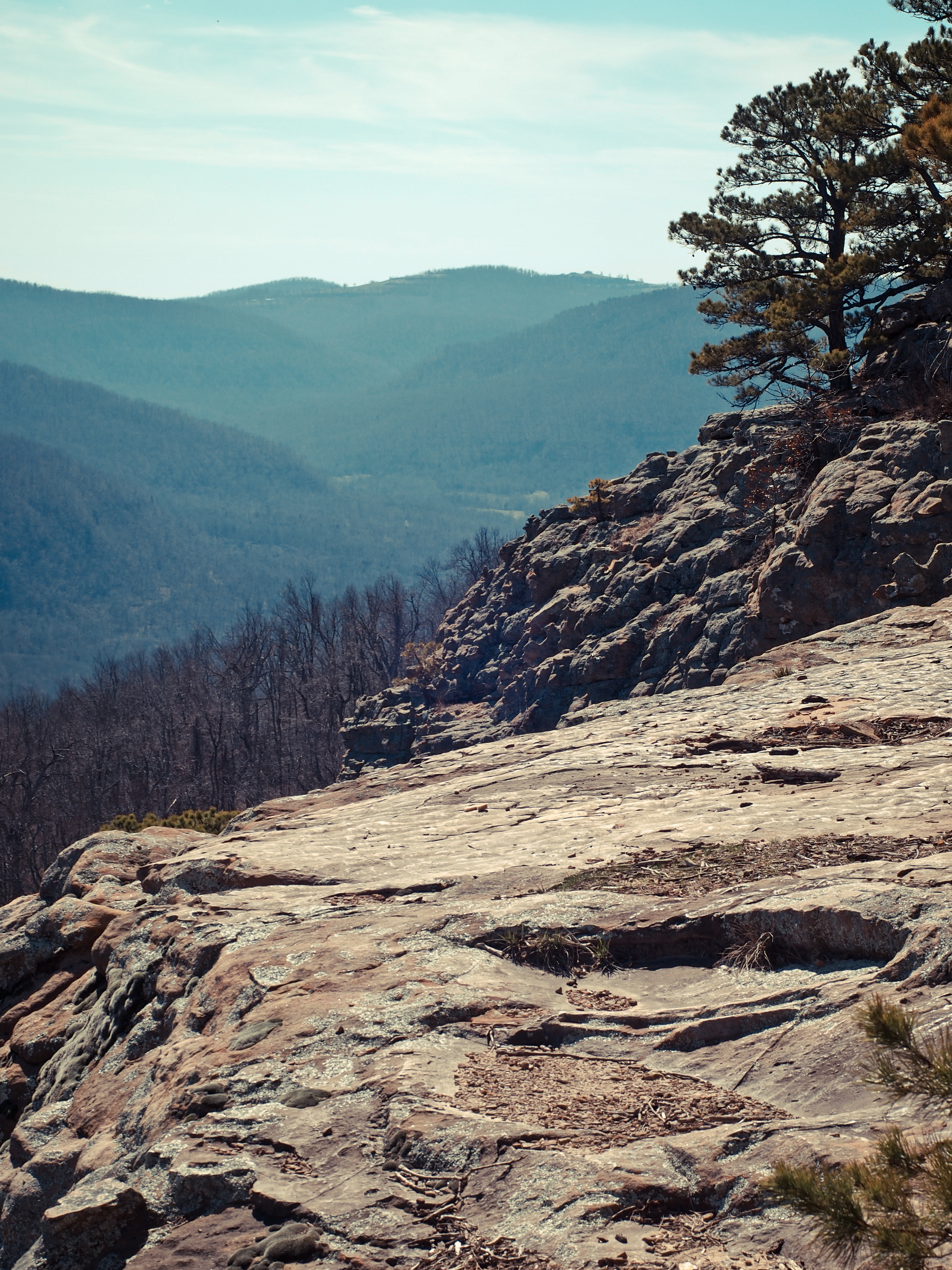
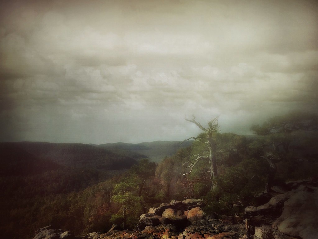
Far Away
Light and Shadow
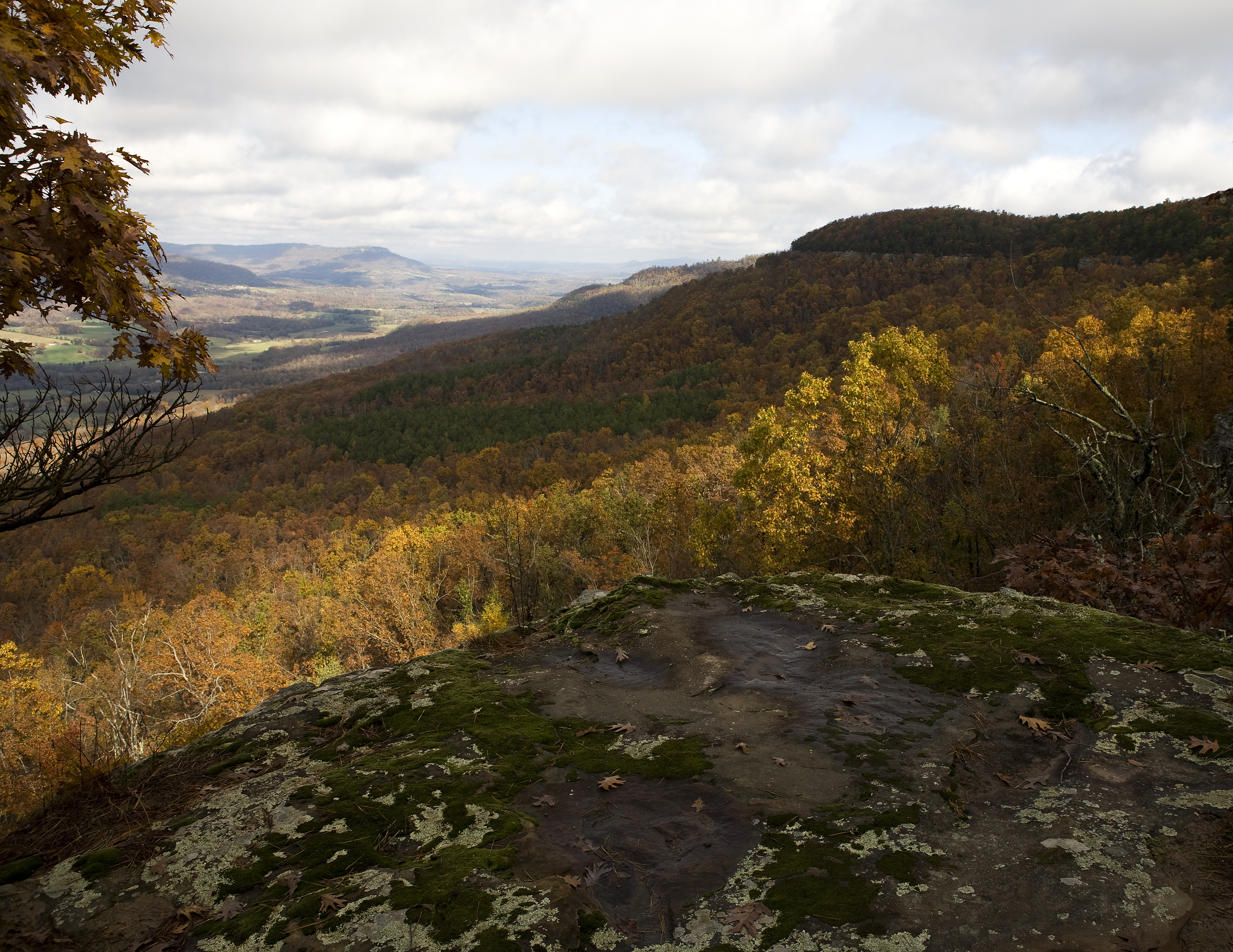
High Autumn
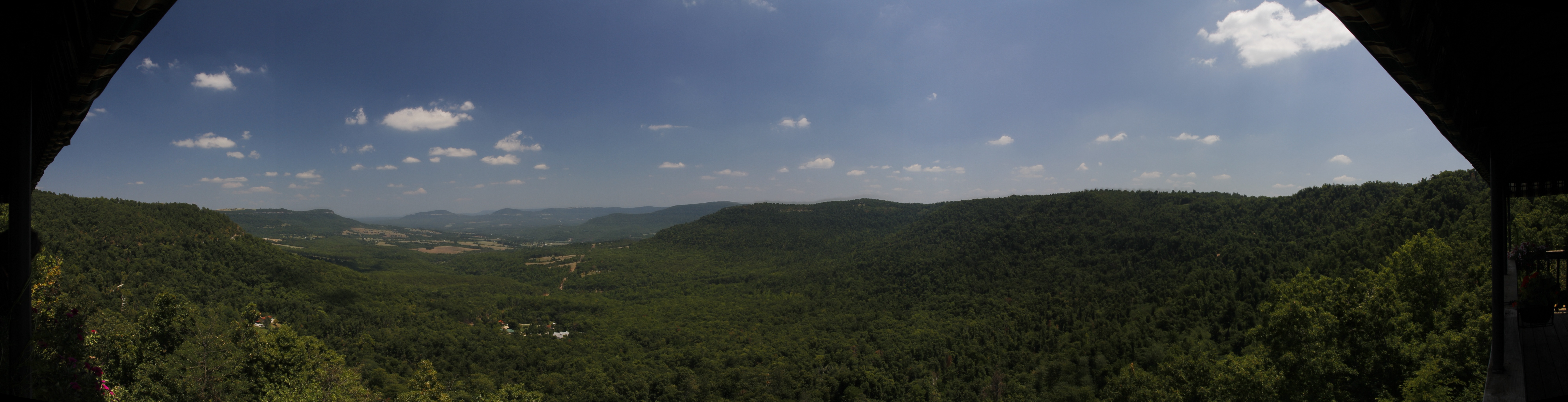
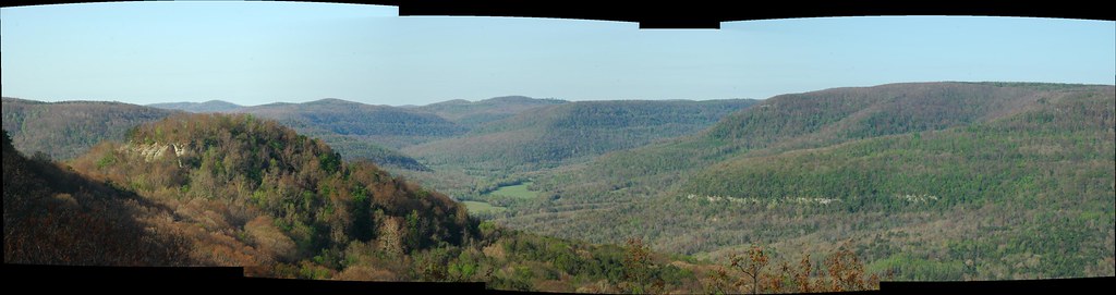
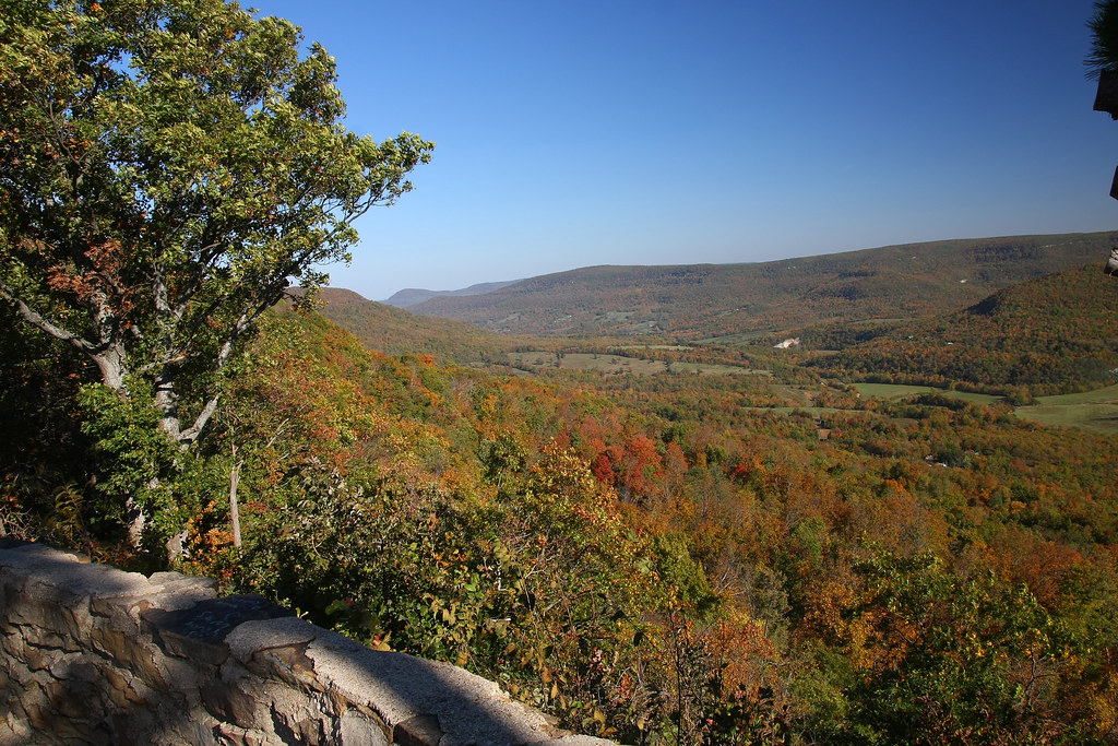
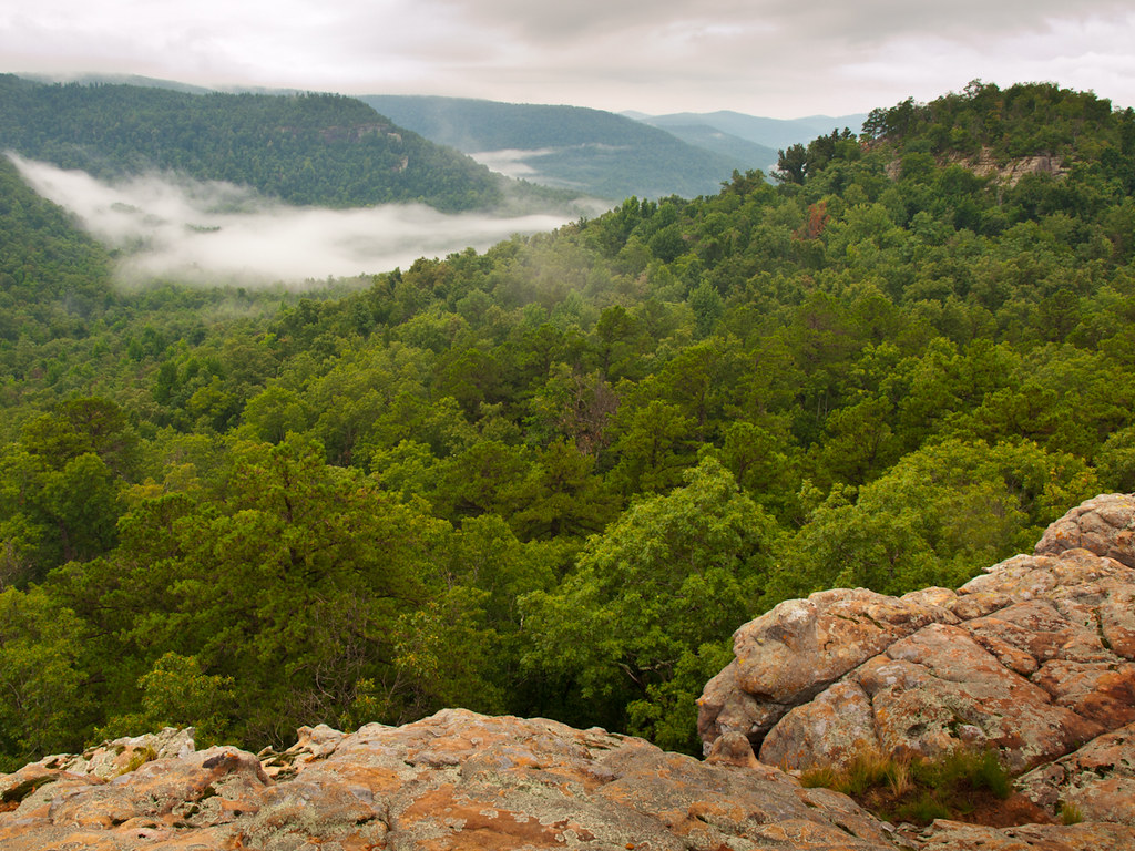
Panorama View to the West of Sam's Throne

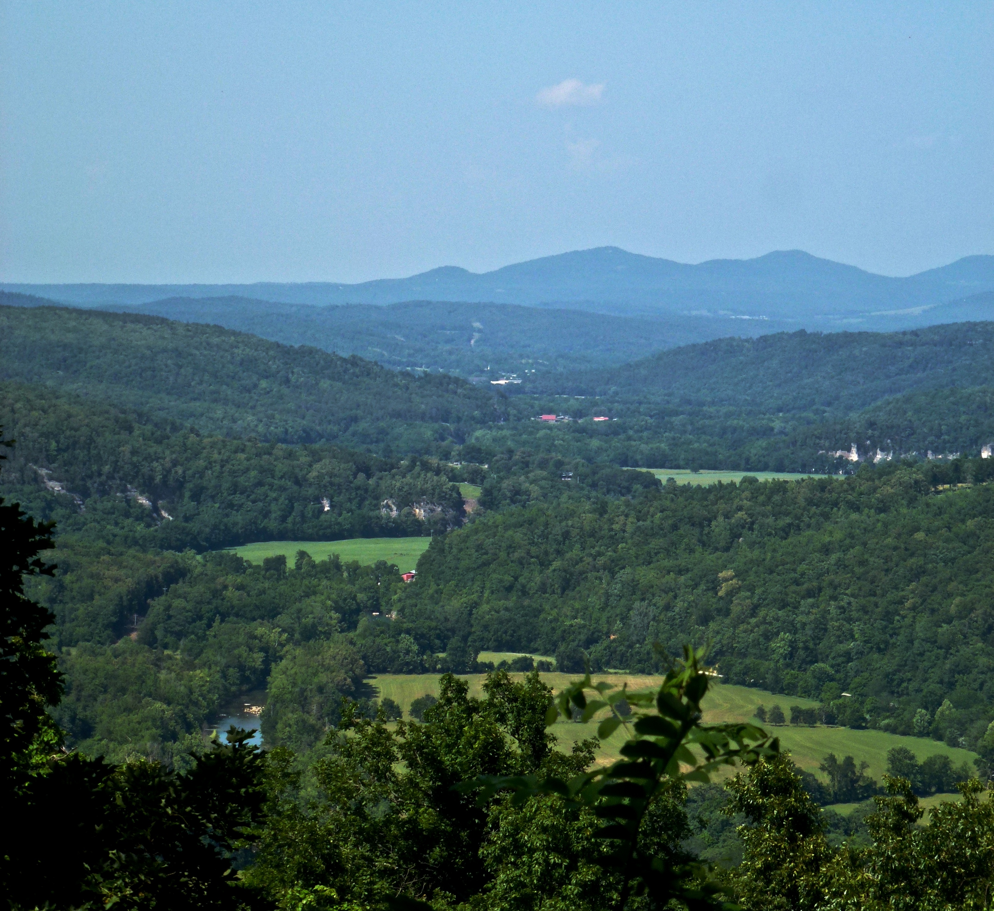
Farm Below
Autumn Light
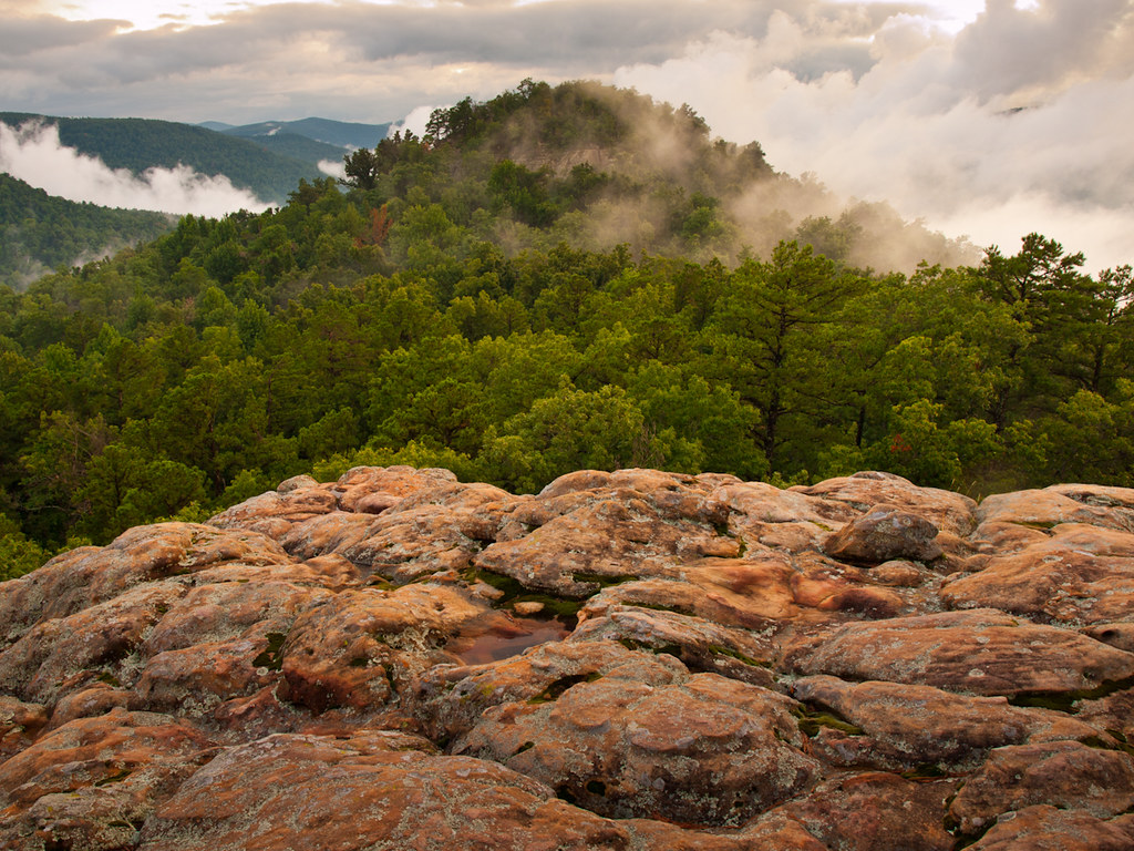
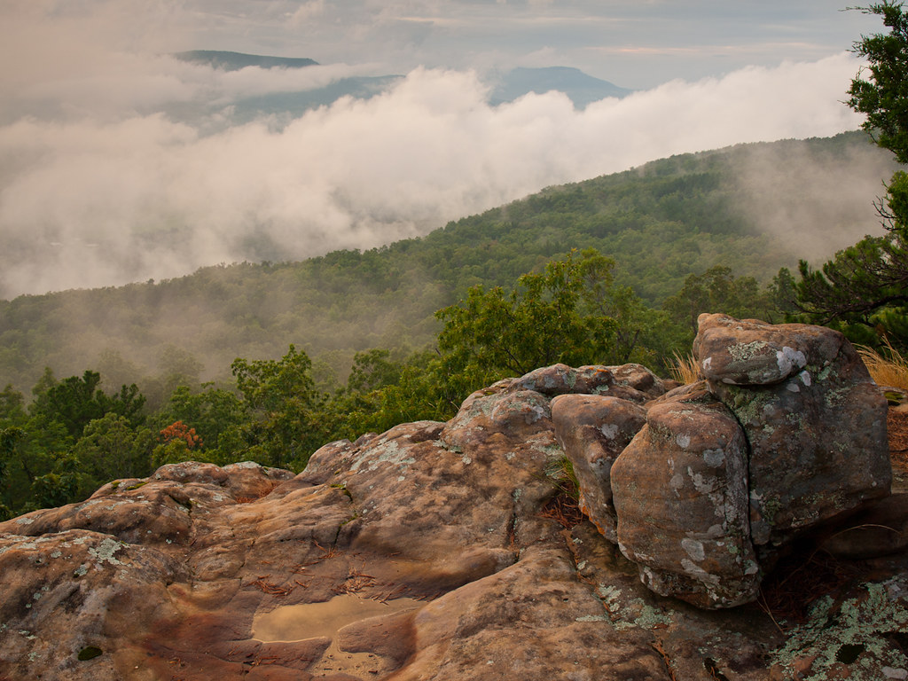
Around the Throne
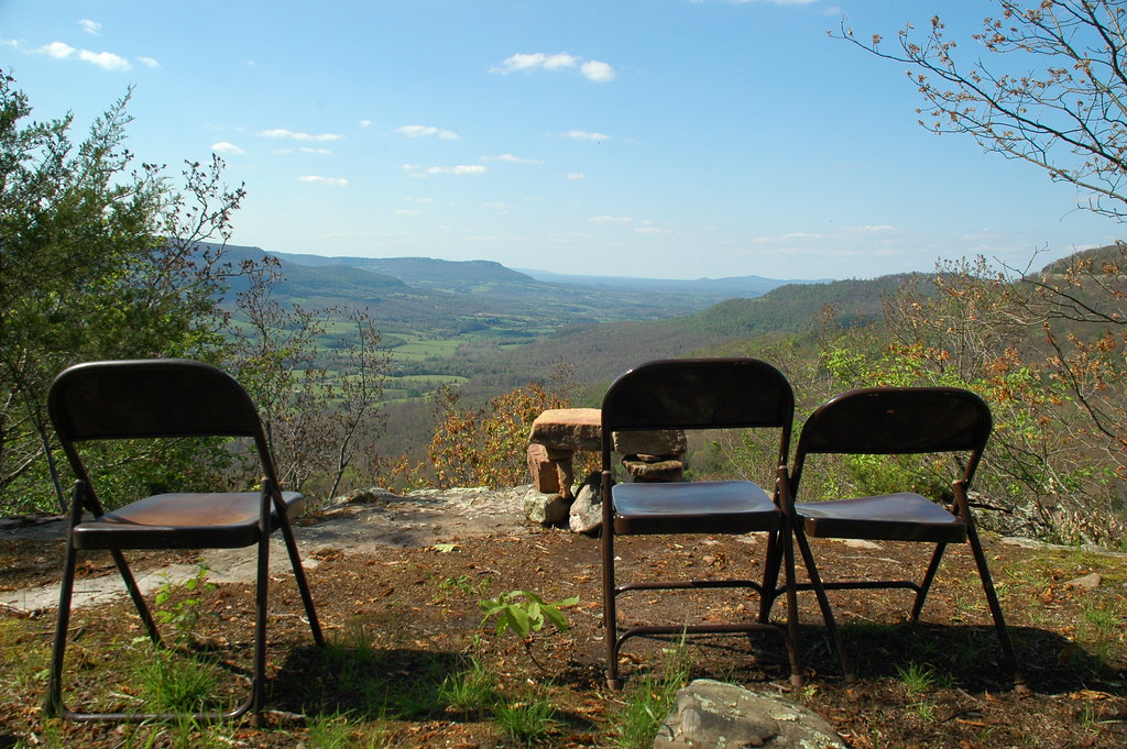
Altar with a View
View from the Highway
Autumn Sky
Sam's Throne in Autumn
Arkansas landscapes , Sam's Throne.
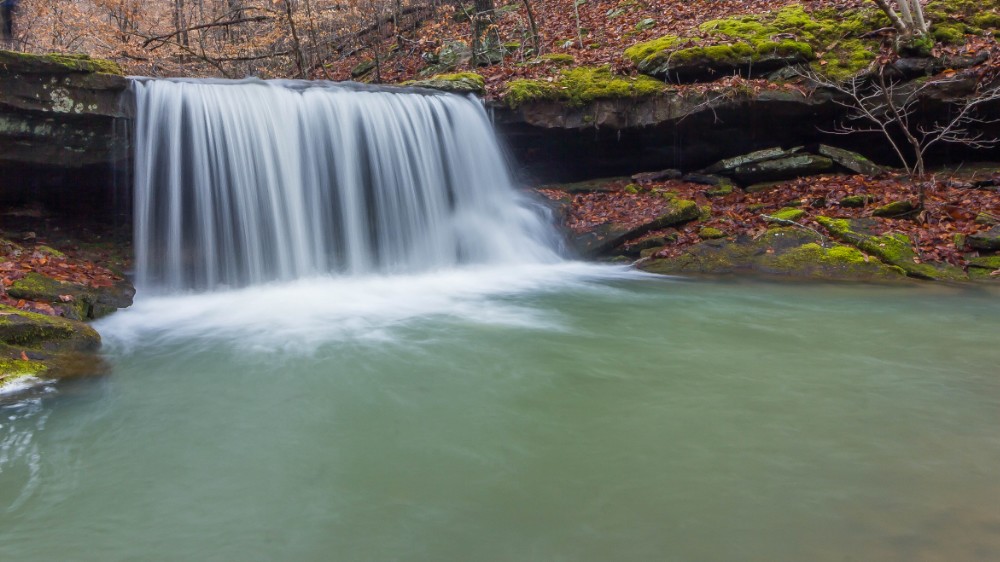
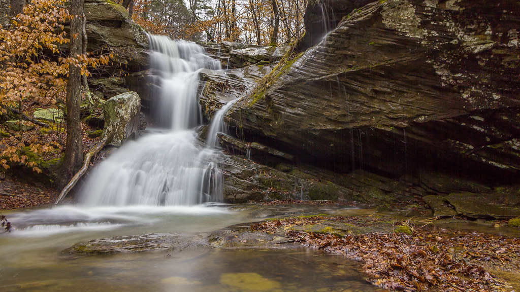
Big Sycamore Falls on Stepp Creek
Arkansas Grand Canyon
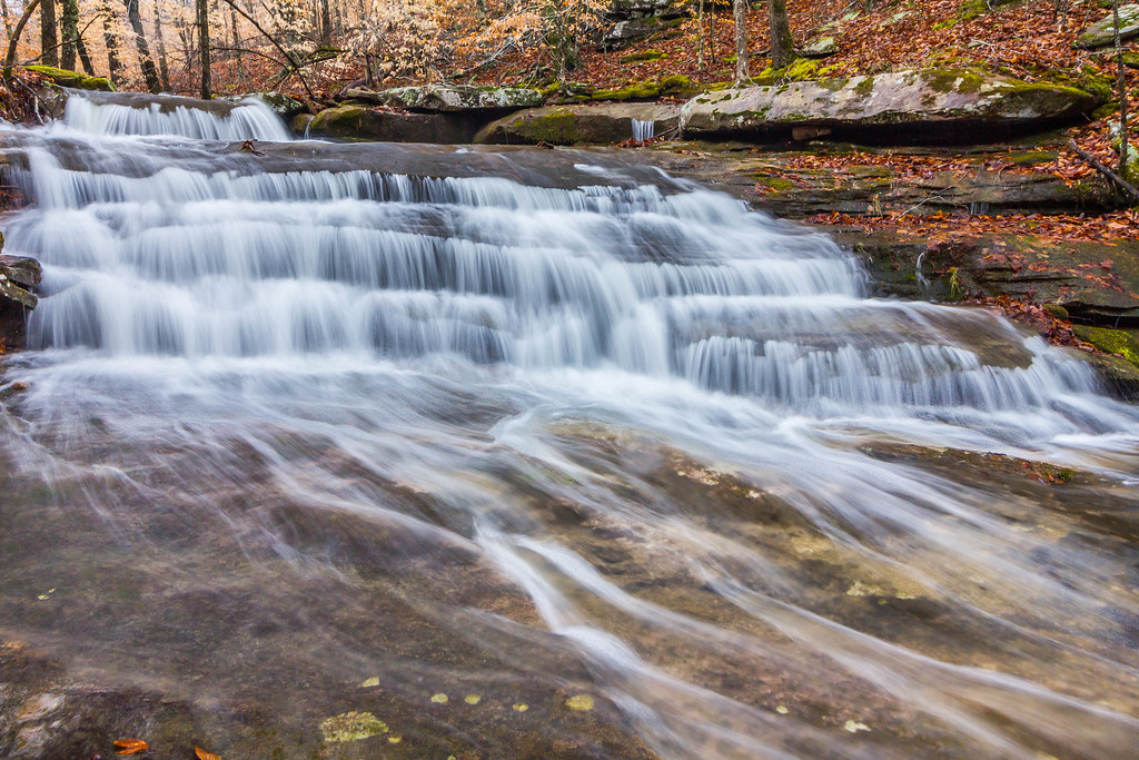
Stepp Creek Falls
Unnamed cascade on Stepp Creek
Tea Table rocks
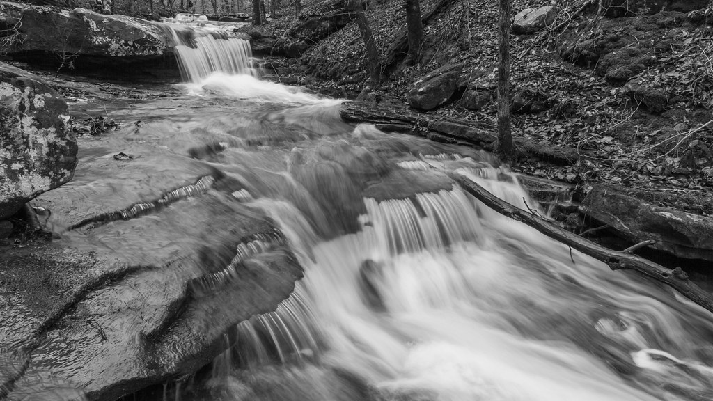
Unnamed cascade on Stepp Creek
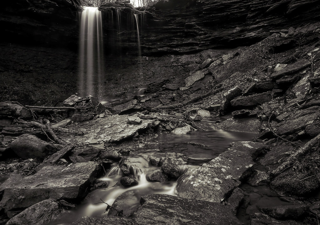
Pack Rat Falls
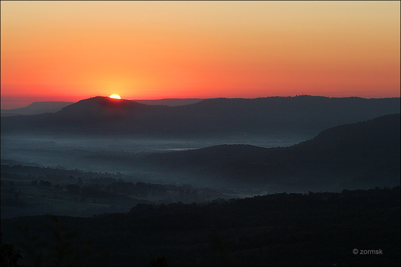
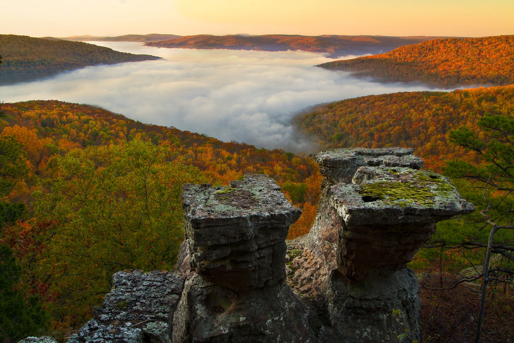
Sunrise in the Ozark Mountains (0347a)

Sam's Throne
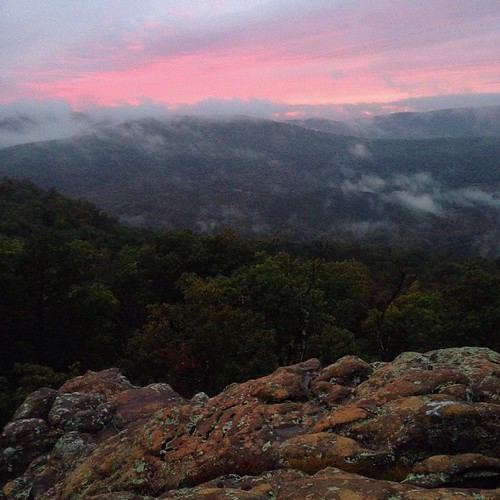
Amazing sunset tonight from Sam's Throne
Sam's Throne
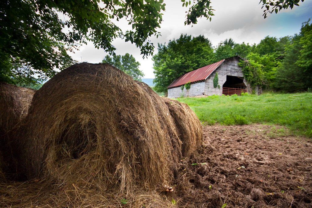
hay: the rural landscape's pink flamingo

Bear Creek Falls

Sam's Throne recreation/camping area
Sam's Throne
Topographic Map of AR-16, Sand Gap, AR, USA
Find elevation by address:

Places near AR-16, Sand Gap, AR, USA:
Pleasant Hill Township
Arkansas 16
Deer
8 Crestview Ave, Harrison, AR, USA
Mcelroy Gap Road
Sand Gap, AR, USA
AR-7, Sand Gap, AR, USA
Sand Gap
White Township
Gum Springs Road
Limestone
County Road 22
Newton County
Bass Church Of Christ
Mount Judea
Co Rd, Hagarville, AR, USA
Hudson Township
Parthenon
Old Highway 7
AR-7, Dover, AR, USA
Recent Searches:
- Elevation of Corso Fratelli Cairoli, 35, Macerata MC, Italy
- Elevation of Tallevast Rd, Sarasota, FL, USA
- Elevation of 4th St E, Sonoma, CA, USA
- Elevation of Black Hollow Rd, Pennsdale, PA, USA
- Elevation of Oakland Ave, Williamsport, PA, USA
- Elevation of Pedrógão Grande, Portugal
- Elevation of Klee Dr, Martinsburg, WV, USA
- Elevation of Via Roma, Pieranica CR, Italy
- Elevation of Tavkvetili Mountain, Georgia
- Elevation of Hartfords Bluff Cir, Mt Pleasant, SC, USA