Elevation of Bass Church of Christ, HC 32 Box 56, Mt Judea, AR, USA
Location: United States > Arkansas > Newton County >

Longitude: -93.0277

Latitude: 35.8645

Elevation: 487m / 1598feet

Barometric Pressure: 96KPa

Elevation Map:

elevation map of Bass Church of Christ, HC 32 Box 56, Mt Judea, AR, USA
Satellite Map:

Satellite map of Bass Church of Christ, HC 32 Box 56, Mt Judea, AR, USA
Related Photos:

autumn arkansas updatecollection
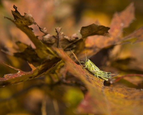
Hungry Grasshopper
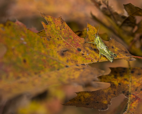
autumn grasshopper arkansas
Grasshopper in Autumn
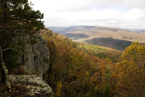
autumn arkansas ozarks
High Autumn
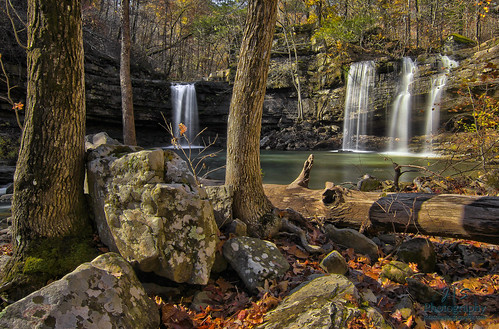
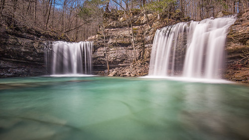
waterfall fallcolors falls waterfalls arkansas ozarkmountains ozarknationalforest twinwaterfalls wonderofnature fallingwatercreek longdevilsfork bigdevilsfork richlandcreekwildernessarea twinfallsofrichland benhurarkansas
Twin Devils of Fall
winter bw 6 nature creek canon lens landscape photography eos waterfall stream long exposure zoom outdoor clayton wells hike stop filter nd area usm wilderness february polarizer six ef 1740mm circular ozark density waterscape richland neutral 2011 riverscape f4l 40d richlandfalls img0479
Water vs. Gravity vs. Rock
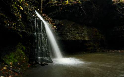
waterfalls arkansas ozarkmountains ozarknationalforest longdevilsfork richlandcreekwildernessarea twinfallsofdevilsfork twinfallsofrichland
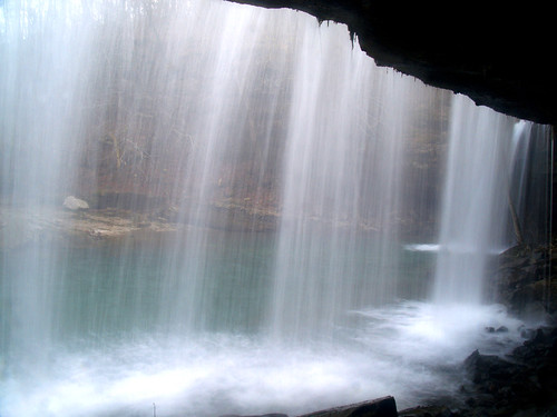
From the back
arkansas samsthrone ozarknationalforest
Sam's Throne
forest waterfall national arkansas ozark sixfingerfalls
Six Finger Falls
ozarknationalforest fallingwatercreek richlandcreekwilderness sixfingerfalls ozarkmountainsarkansaswaterfalls
Six Finger Falls
negative1
Richland Creek Falls
landscape olympus arkansas ozarks zuiko50mmf14 samsthrone
Sam's Throne- Arkansas
mountains arkansas ozark samsthrone ozarknationalforest
Sam's Throne
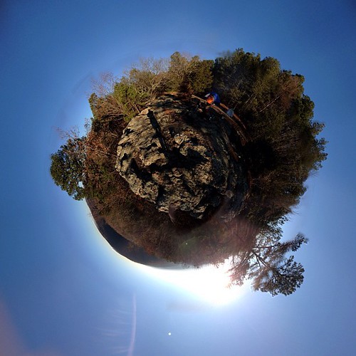
panorama nature square distorted stereographic iphoneography
Fun panorama this morning from camp bobo (stereographic view)
ozarknationalforest fallingwatercreek richlandcreekwilderness sixfingerfalls ozarkmountainsarkansaswaterfalls
Six Finger Falls
view farm arkansas ozarks
Far Away
arkansas richlandcreek ozarknationalforest richlandcreekwildernessarea
Richland Creek
arkansas bostonmountains samsthrone ozarknationalforest
Sam's Throne In View
trees forest view arkansas ozarks sams throne samsthrone
Around the Throne
ozarknationalforest fallingwatercreek richlandcreekwilderness sixfingerfalls ozarkmountainsarkansaswaterfalls
Six Finger Falls
arkansas richlandcreek ozarknationalforest
Richland Creek
nature geotagged waterfall hiking hike arkansas bluff ozark route7 zormsk ozarknationalforest kingsbluff kingsblufftrail tlmccormick
King's Bluff Falls
winter bw 6 nature creek canon lens landscape photography eos waterfall stream long exposure zoom outdoor clayton wells hike stop filter twinfalls nd area usm wilderness february polarizer six ef 1740mm circular ozark density waterscape richland neutral 2011 riverscape f4l 40d img0508 bigdevilsfork img0521 thechallengefactory
One of the Twins
Unnamed Waterfall
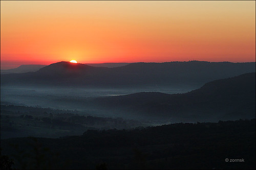
orange mist mountains fog sunrise arkansas ozarks ozarkmountains zormsk
Sunrise in the Ozark Mountains (0347a)
cliff waterfall ozarknationalforest kingsfalls
Kings Falls
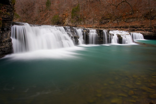
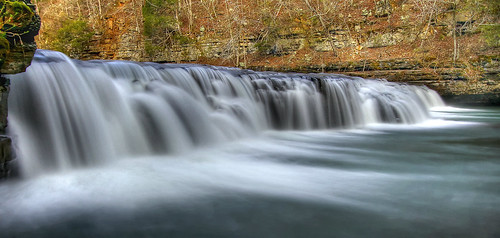
Richland Falls
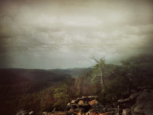
landscapes arkansas ozarks iphone6
Arkansas landscapes , Sam's Throne.
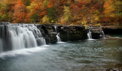
Richland Falls
Richland Falls
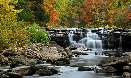
longexposure autumn fall arkansas richlandcreek canon60d richlandcreekwilderness
Richland Creek
Winter day at Six Finger falls
Richland Falls
blackandwhite water waterfall waterfalls arkansas ozarks canon60d
six finger falls in b/w
Twin Falls
longexposure arkansas hdr canon1022 canon60d
Richland Falls
richland creek 12-2007 005
nature march waterfall outdoor arkansas 2016 ef1740mmf4l fallingwatercreek canoneos5dmarkii fuzzybuttfalls richlandcreekwildernes
Fuzzybutt Falls
waterfall waterfalls arkansas richlandcreekwilderness fuzzybuttfalls
Fuzzybutt Falls