Elevation of Co Rd, Cheyenne, WY, USA
Location: United States > Wyoming > Laramie County > Cheyenne >
Longitude: -105.14405
Latitude: 41.320139
Elevation: 2055m / 6742feet
Barometric Pressure: 79KPa
Elevation Map:
Satellite Map:
Related Photos:
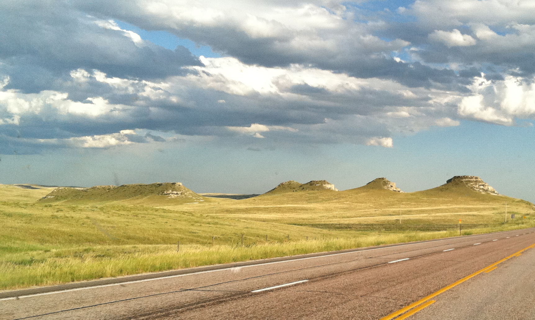
Wyoming roadside
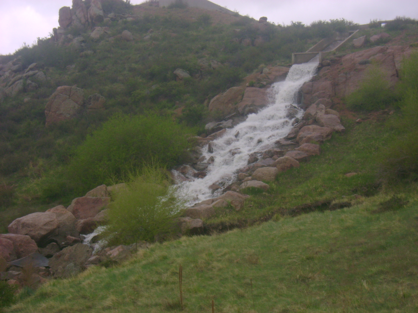
Spillway Whitewater

Wyoming roads

Horse Crick Post Office
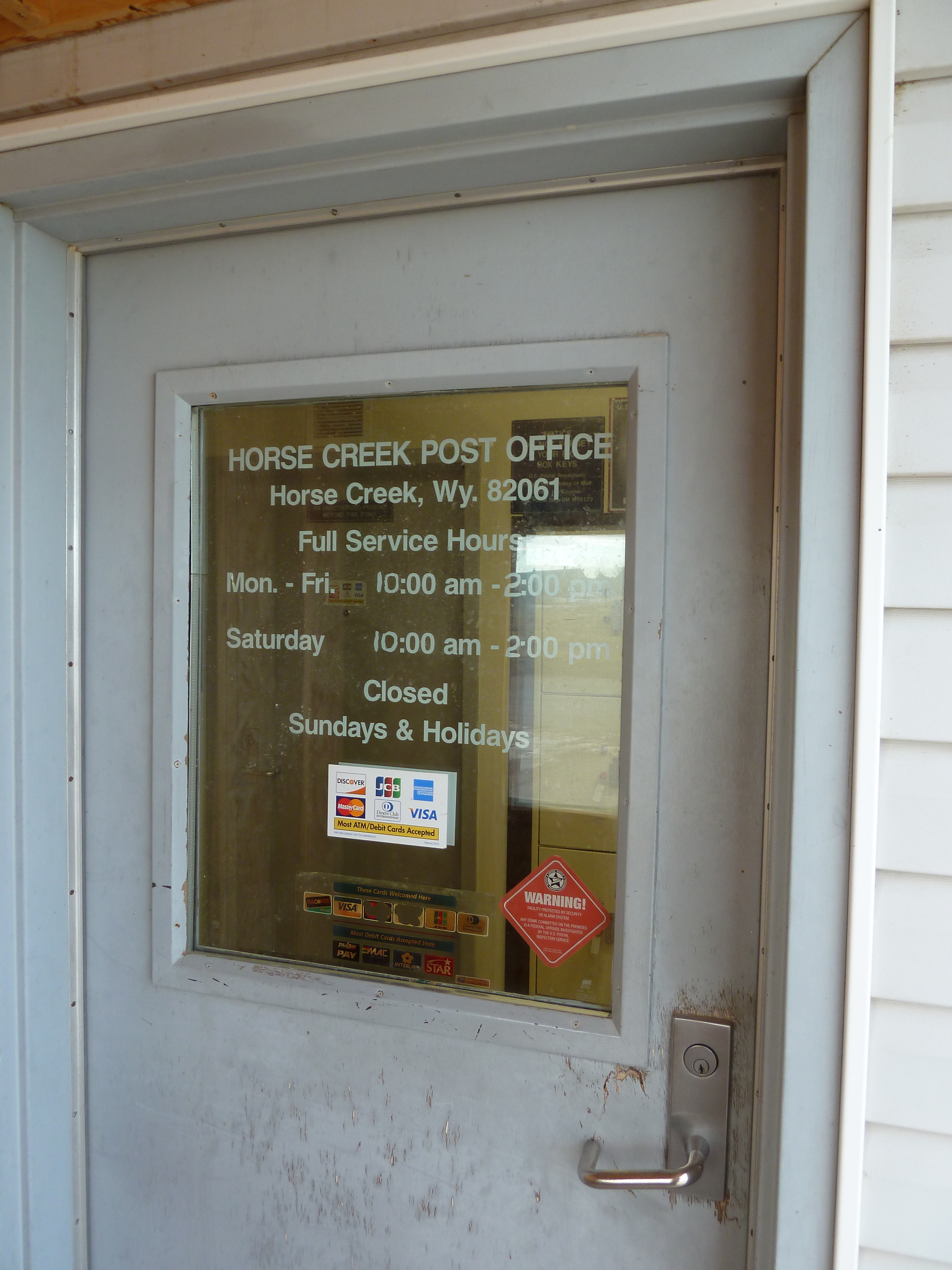
Full Service Post Office

Hello Wyoming!

Happy Jack
Topographic Map of Co Rd, Cheyenne, WY, USA
Find elevation by address:

Places near Co Rd, Cheyenne, WY, USA:
1942 Horse Creek Rd
1709 Shadow Valley Rd
450 Happy Jack Rd
1341 Mahogany Ct
1519 Fire Rock Dr
1114 Cole Rd
Curt Gowdy State Park
1234 Cole Rd
Granite
I-80 Service Rd, Granite, WY, USA
1937 Federer Rd
1850 Horse Creek Rd
1942 Horse Creek Rd
Buford
5600 Thunder Ridge Rd
1531 Otto Rd
Yellow Pine Campground
Tree In The Rock, Historical Site
Ridley Road
1655 Co Rd 238
Recent Searches:
- Elevation of Corso Fratelli Cairoli, 35, Macerata MC, Italy
- Elevation of Tallevast Rd, Sarasota, FL, USA
- Elevation of 4th St E, Sonoma, CA, USA
- Elevation of Black Hollow Rd, Pennsdale, PA, USA
- Elevation of Oakland Ave, Williamsport, PA, USA
- Elevation of Pedrógão Grande, Portugal
- Elevation of Klee Dr, Martinsburg, WV, USA
- Elevation of Via Roma, Pieranica CR, Italy
- Elevation of Tavkvetili Mountain, Georgia
- Elevation of Hartfords Bluff Cir, Mt Pleasant, SC, USA