Elevation of Co Rd, Cheyenne, WY, USA
Location: United States > Wyoming > Laramie County > Cheyenne >
Longitude: -104.96613
Latitude: 41.550825
Elevation: 1857m / 6093feet
Barometric Pressure: 81KPa
Elevation Map:
Satellite Map:
Related Photos:
PenskeOne-32.jpg
PenskeOne-33.jpg
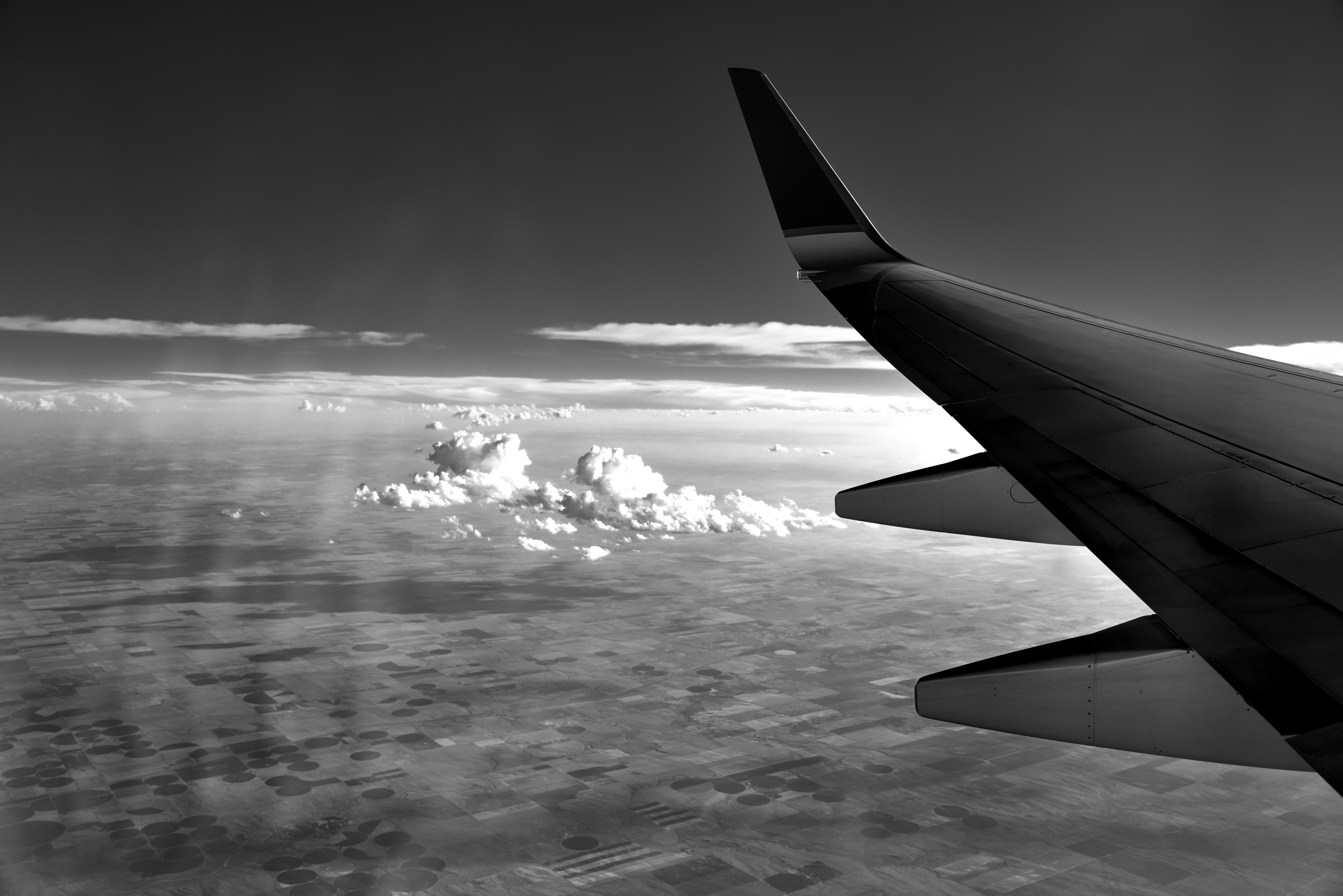
A Patchwork Quilt of Land and Some Clouds (Black & White)

To Hot Springs, SD - 6
Crop Circles
Two terraces along Chugwater Crick

Terraces along the Chugwater River

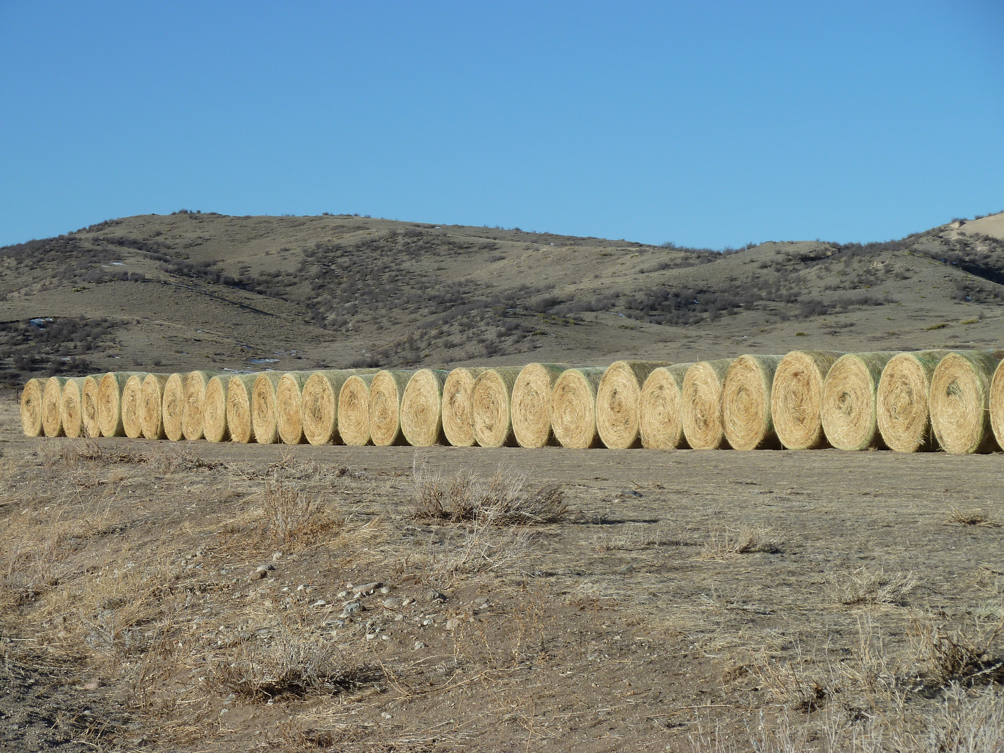
Crop Cylinders
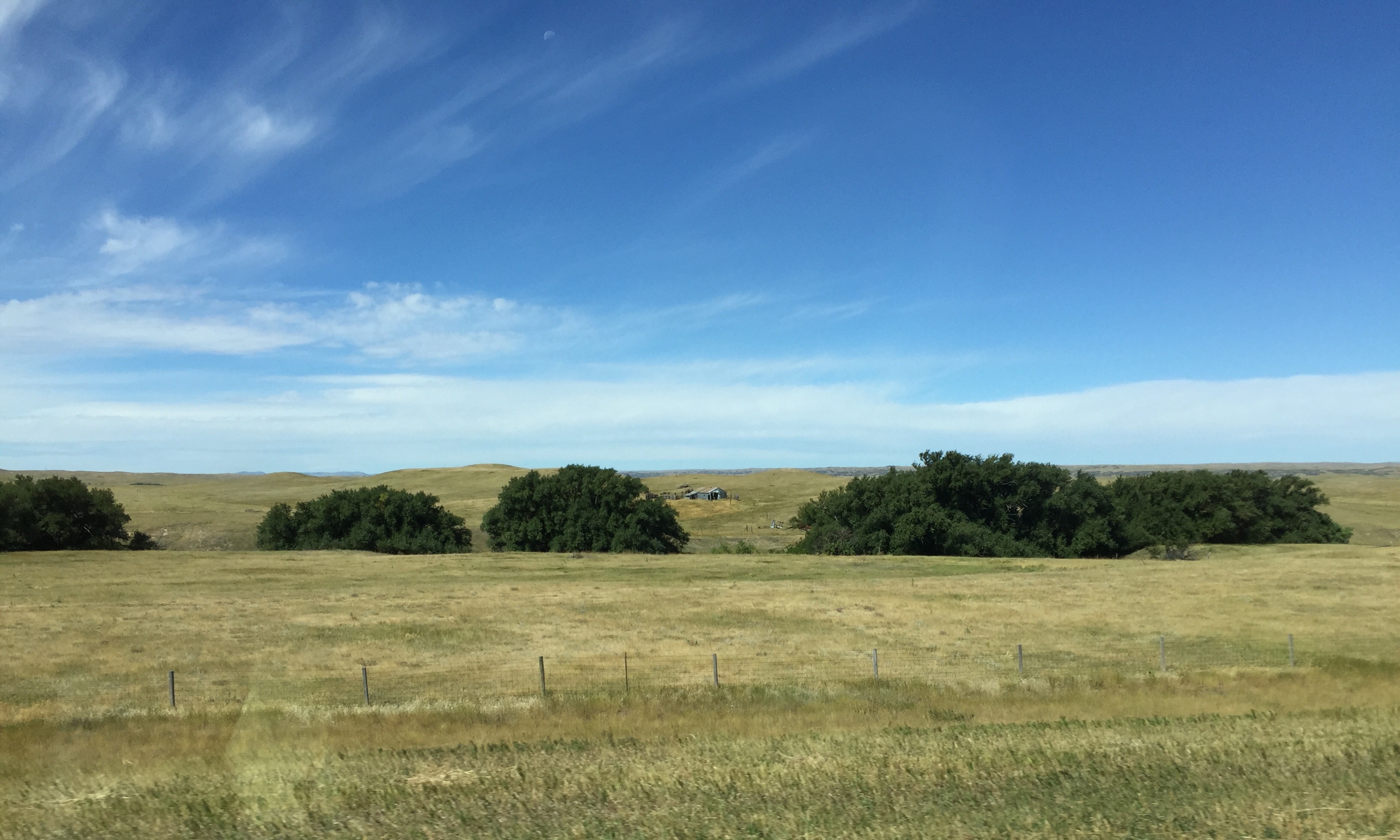
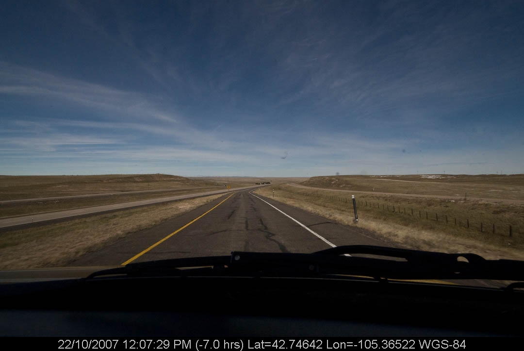
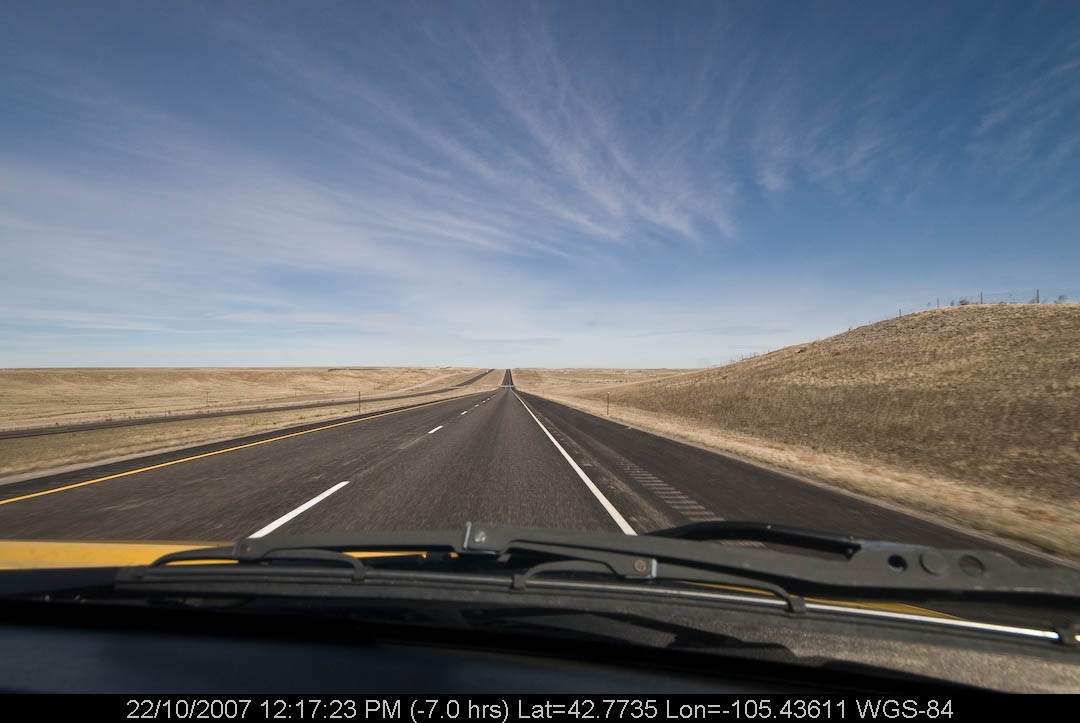
high plains between cheyenne & chugwater
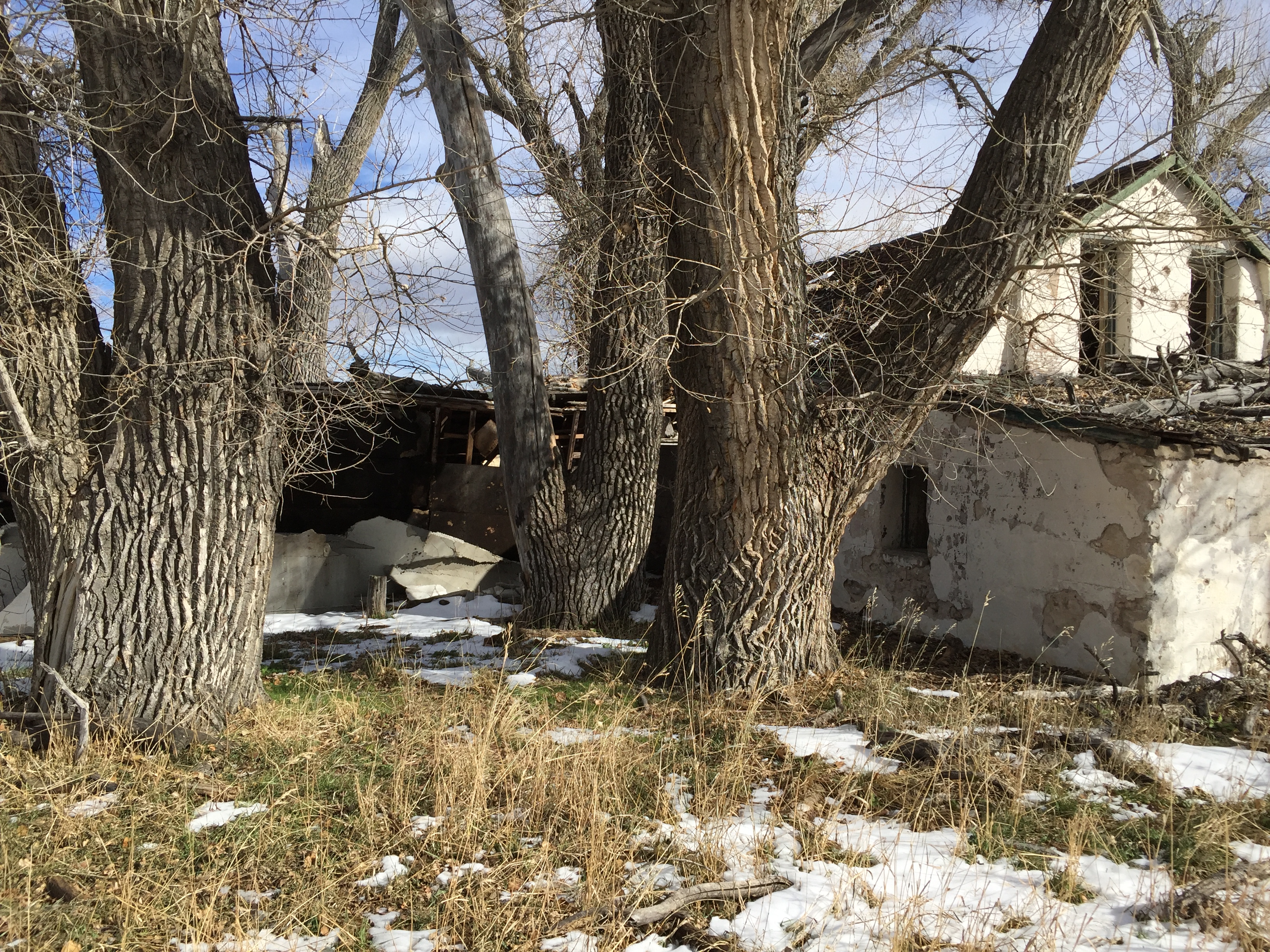
big cottonwoods
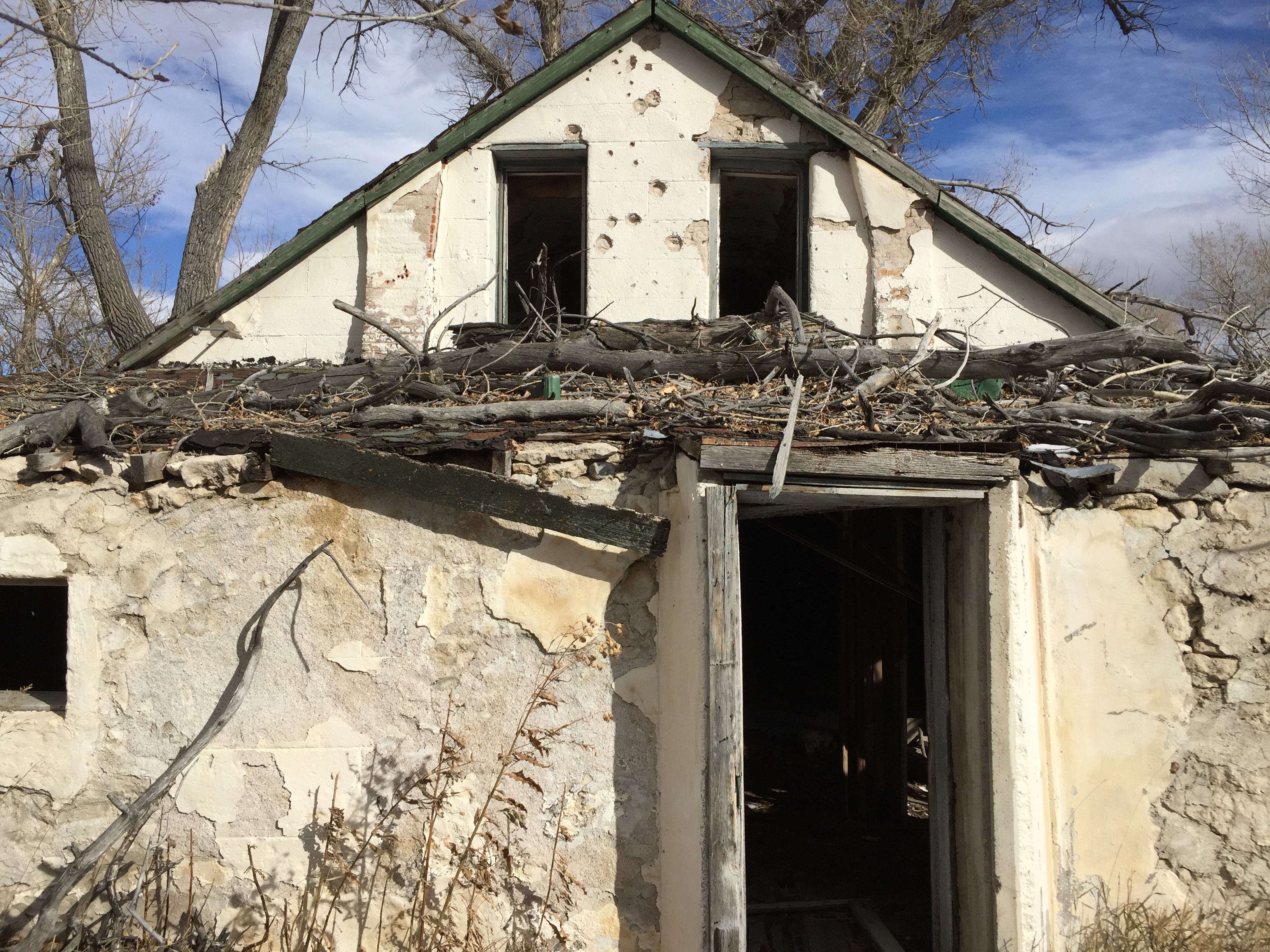
little bear ruins
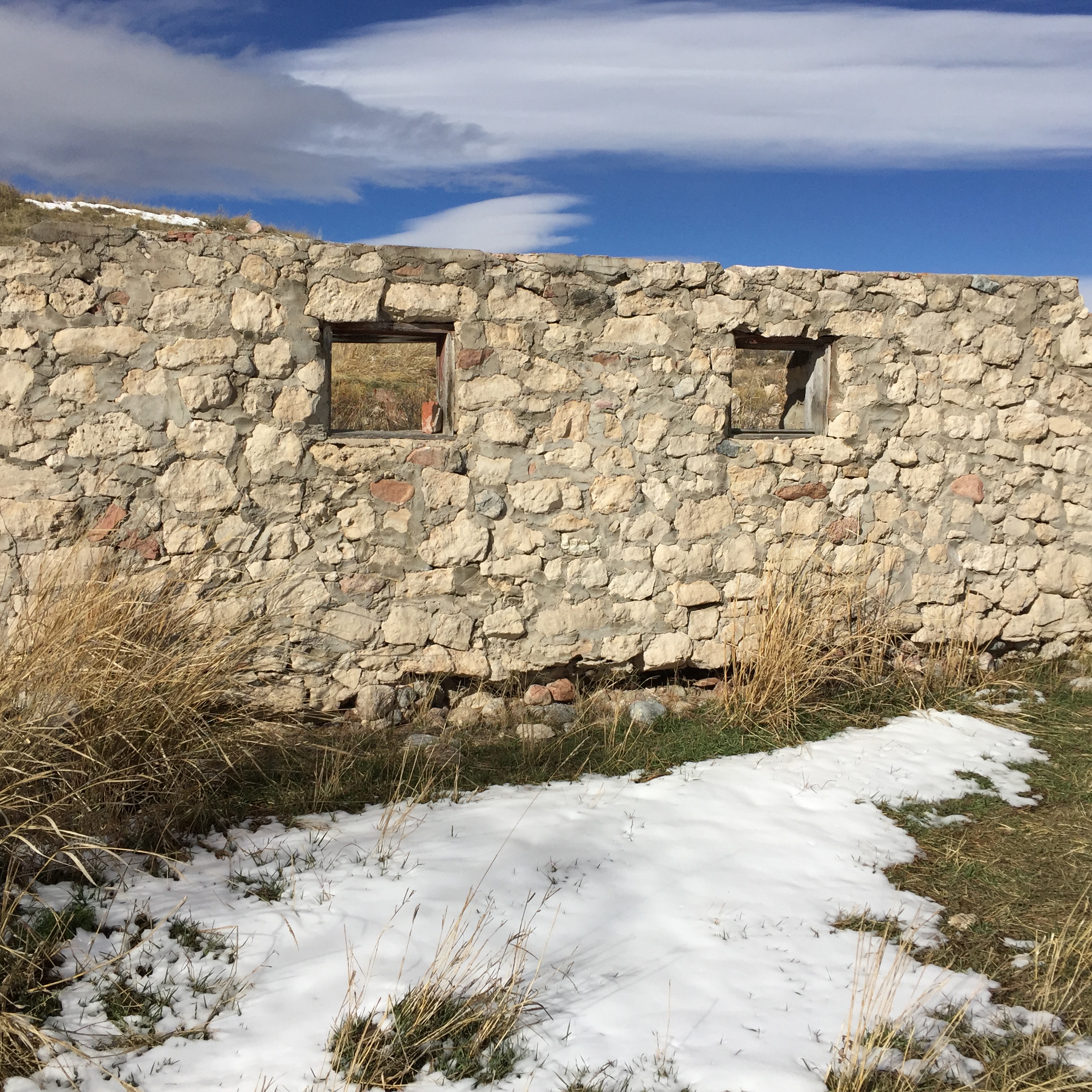
little bear ruin
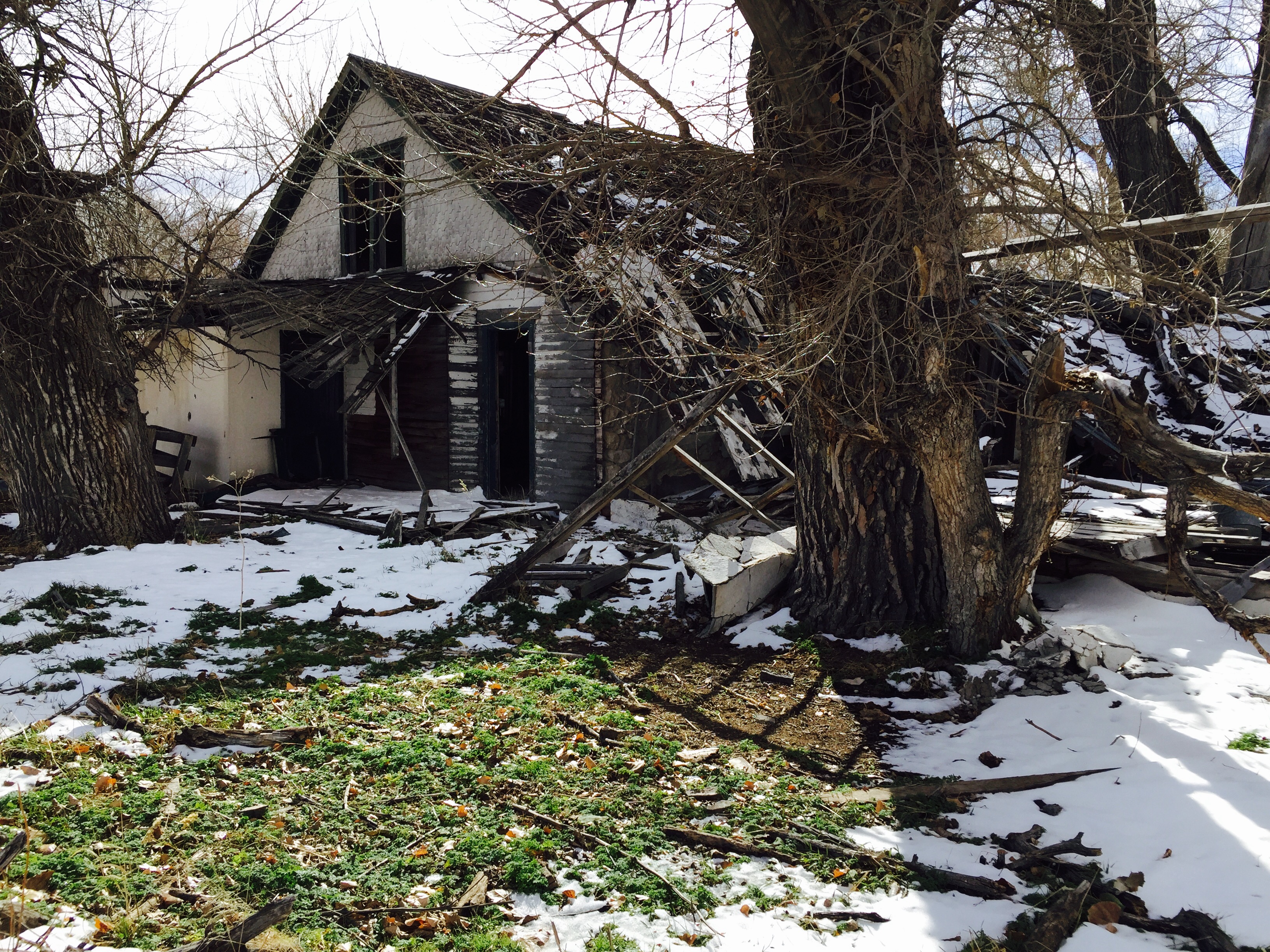
little bear stage station, southeast wyoming, 1877

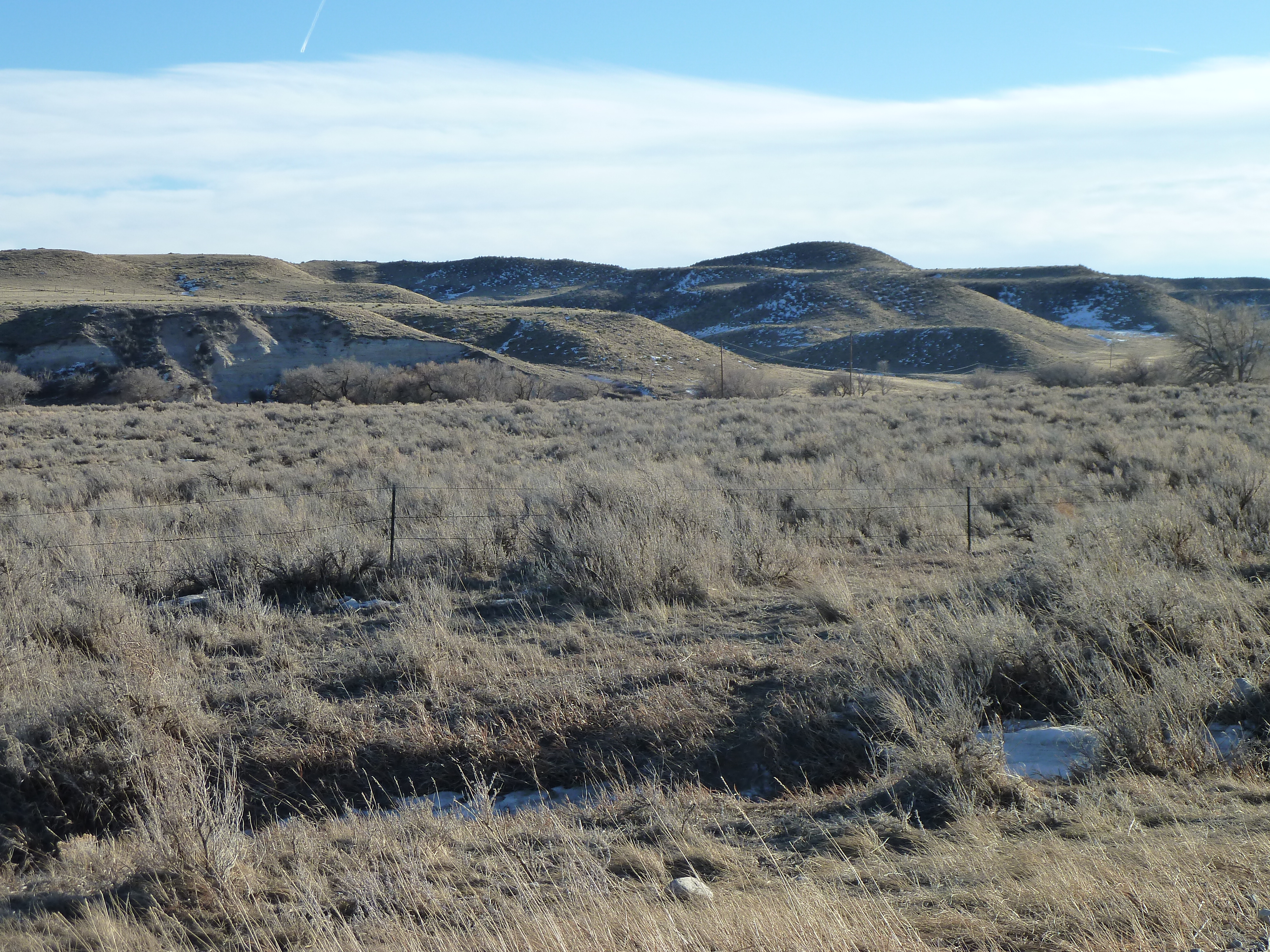
Hills somewhere in Wyoming
Title='California'. (iPhone 5s iPhone 5s back camera 4.12mm f_2.2 1_3200 sec at f _ 2.2 Rating=3) File = 2014-04-12 09.24.54 California iPhone-1004.jpg

MIKE-20130709T145757-7832-full
photo.JPG
photo.JPG

Chugwater River
25.00km from Ranchettes, WY, United States
near Diamond, WY, United States
Topographic Map of Co Rd, Cheyenne, WY, USA
Find elevation by address:

Places near Co Rd, Cheyenne, WY, USA:
Laramie County
2nd St, Chugwater, WY, USA
Chugwater
Ridley Road
1937 Federer Rd
Co Rd, Cheyenne, WY, USA
1942 Horse Creek Rd
1519 Fire Rock Dr
1709 Shadow Valley Rd
5600 Thunder Ridge Rd
1850 Horse Creek Rd
1942 Horse Creek Rd
3805 Horse Creek Rd
316 W Idaho St
Iron Mountain Rd, Cheyenne, WY, USA
Ranchettes
11639 Grove Dr
1234 Cole Rd
Central High School
1114 Cole Rd
Recent Searches:
- Elevation of Corso Fratelli Cairoli, 35, Macerata MC, Italy
- Elevation of Tallevast Rd, Sarasota, FL, USA
- Elevation of 4th St E, Sonoma, CA, USA
- Elevation of Black Hollow Rd, Pennsdale, PA, USA
- Elevation of Oakland Ave, Williamsport, PA, USA
- Elevation of Pedrógão Grande, Portugal
- Elevation of Klee Dr, Martinsburg, WV, USA
- Elevation of Via Roma, Pieranica CR, Italy
- Elevation of Tavkvetili Mountain, Georgia
- Elevation of Hartfords Bluff Cir, Mt Pleasant, SC, USA