Elevation of Co Rd 19, Marengo, OH, USA
Location: United States > Ohio > Morrow County > South Bloomfield Township >
Longitude: -82.684981
Latitude: 40.404691
Elevation: 401m / 1316feet
Barometric Pressure: 97KPa
Elevation Map:
Satellite Map:
Related Photos:
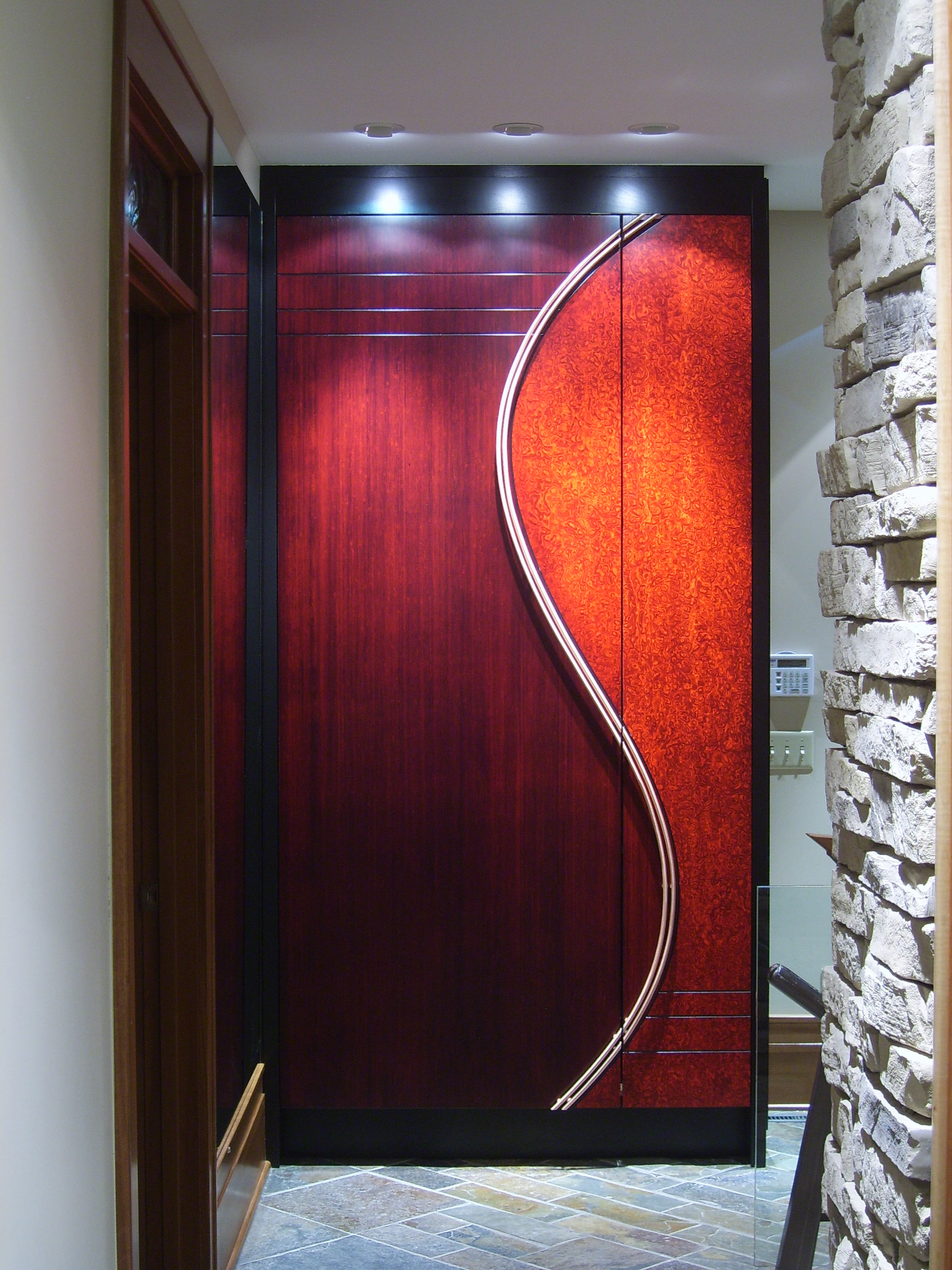
Modern Entry Closet - Front

Happy Halloween

Room with a View

You're the Star
Up, Up and Away

Rear View
Do Not Enter

NO ESCAPE 2

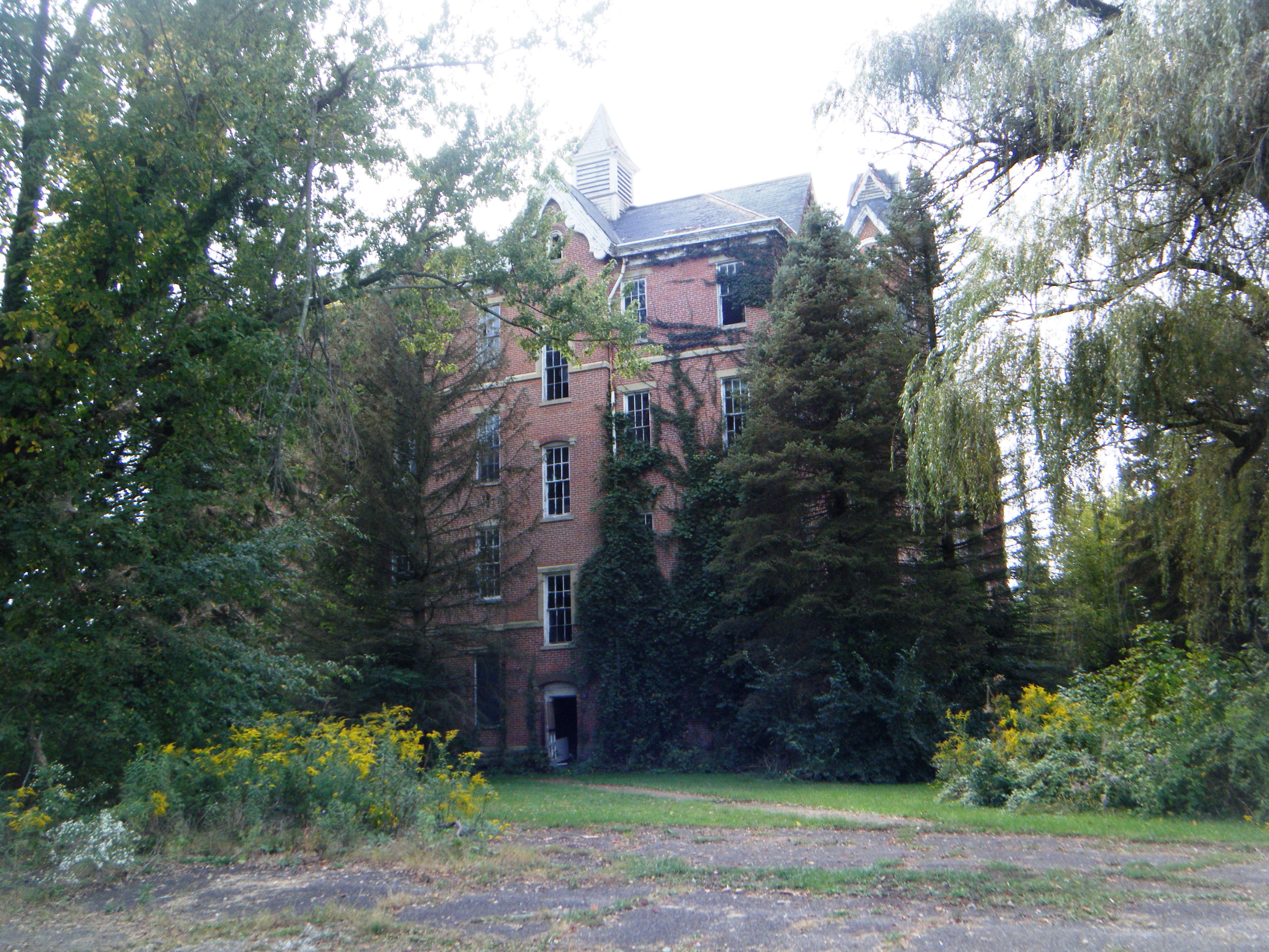
Withering Heights
Eastern View
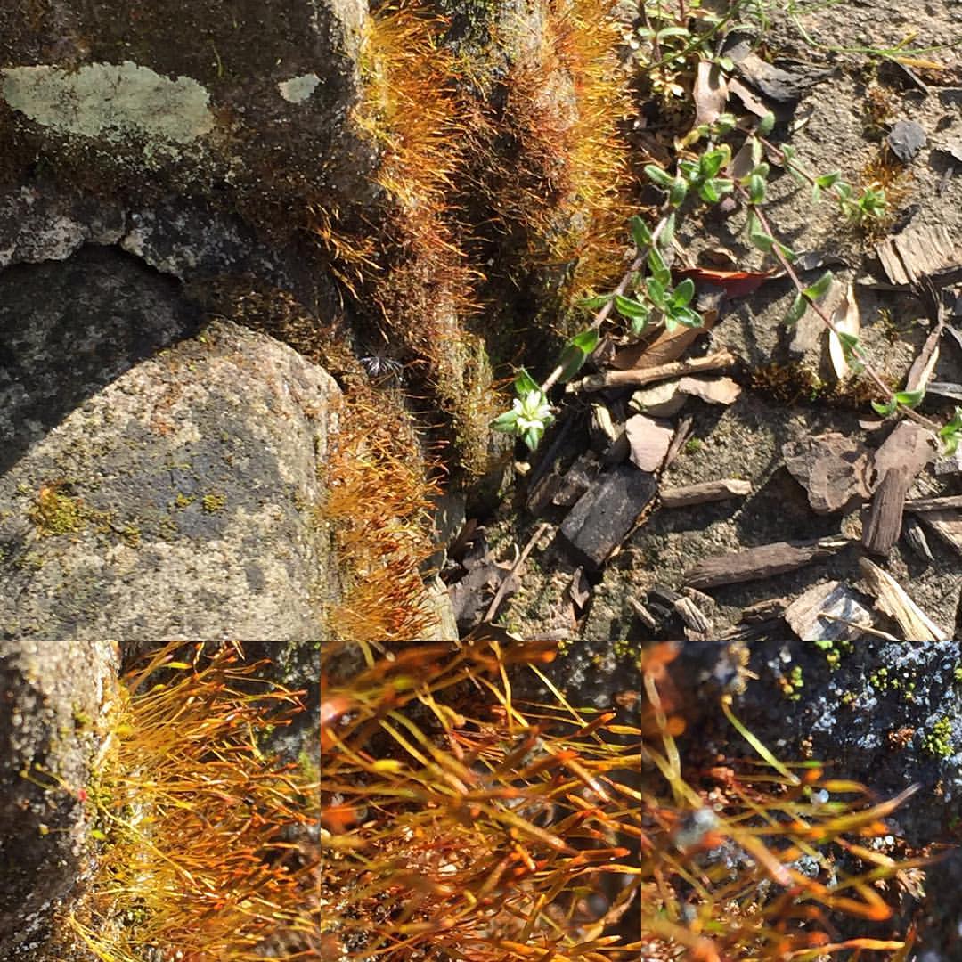
My favorite moss (today).

Farm Sunset - HDR

Ordinary Wonder

Thanksgivings, Joy, Blessings

The Farm

Truck_102111_LR-154.jpg

Lone Tree

Onward Thru the Fog
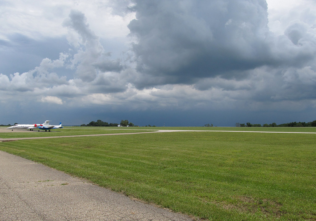
Summer Thunderstorm at 4I3

Summer Thunderstorm at 4I3
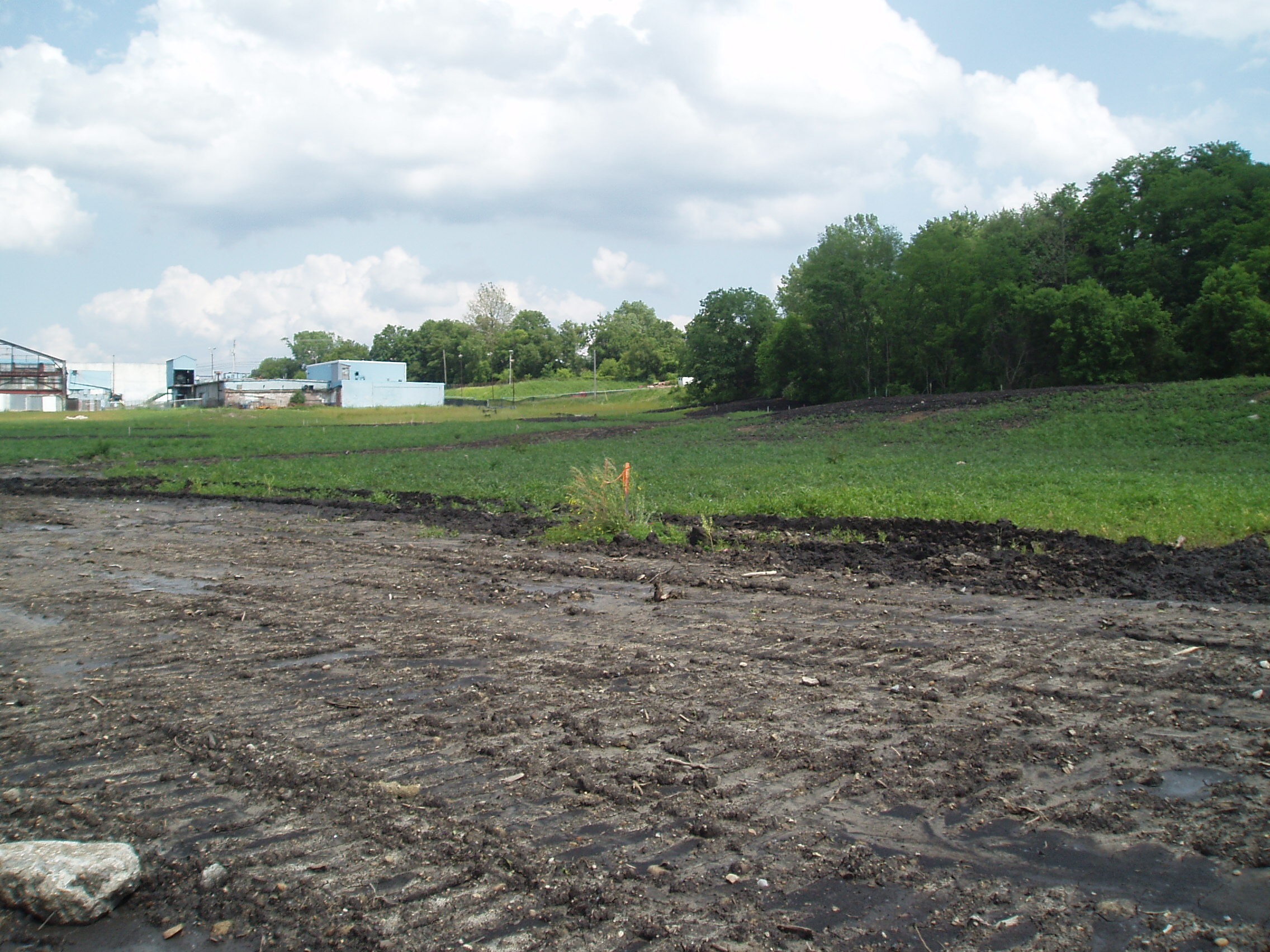
Mount Vernon-Former American National Can Co. Property (CORF & COAF)
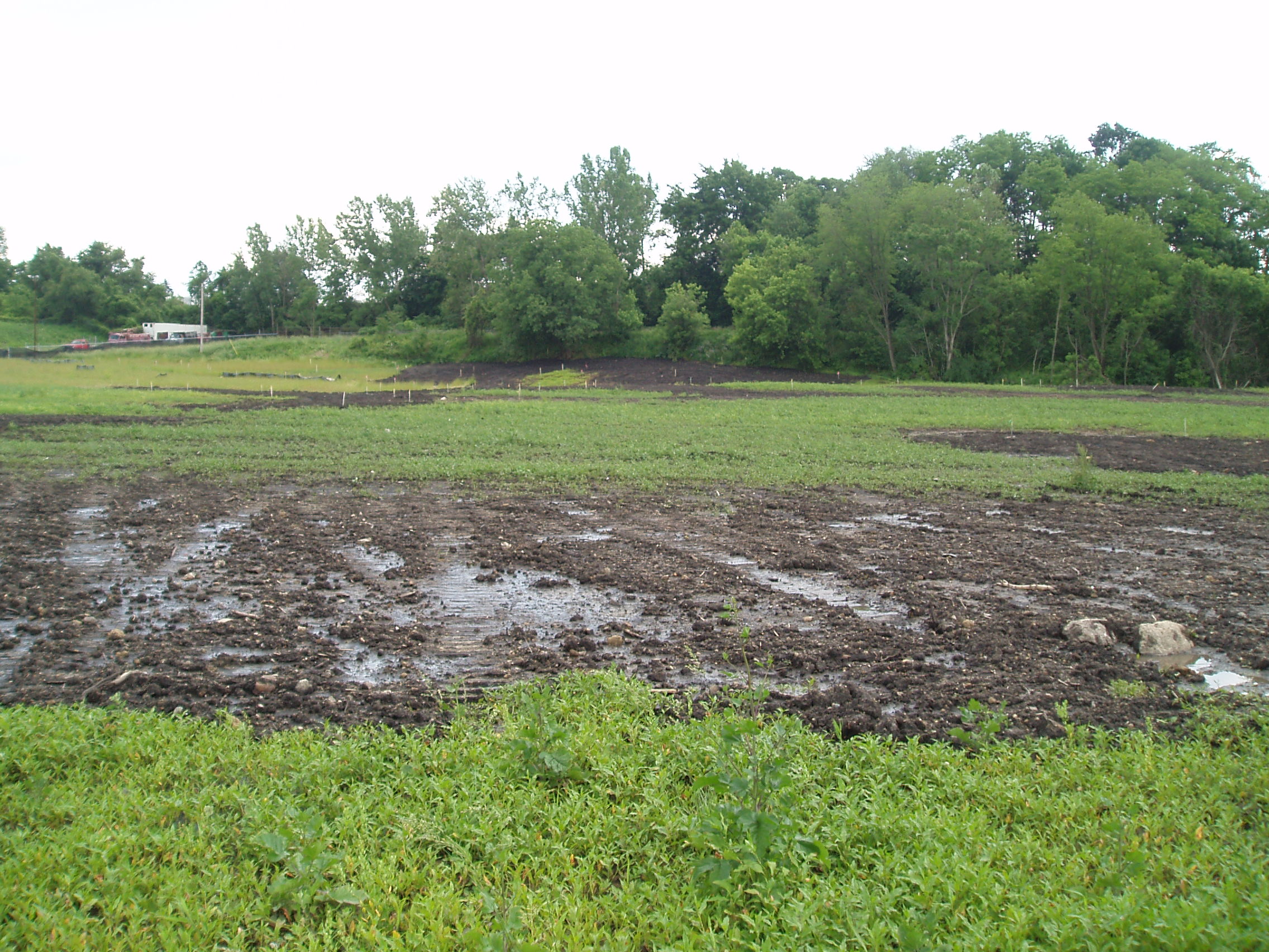
Mount Vernon-Former American National Can Co. Property (CORF & COAF)
Topographic Map of Co Rd 19, Marengo, OH, USA
Find elevation by address:

Places near Co Rd 19, Marengo, OH, USA:
6401 Co Rd 21
South Bloomfield Township
2495 Township Rd 180
6128 Prospect Mt Vernon Rd
Sg Stables
Chester Township
8441 Dunham Rd
Township Road 179
5178 Township Hwy 211
Harmony Township
4758 Vanatta Rd
Centerburg
Liberty Township
Co Rd 25, Marengo, OH, USA
9191 Fairview Rd
Bennington Township
4522 Co Rd 25
Marengo
1 N Main St, Marengo, OH, USA
5390 Lock Rd
Recent Searches:
- Elevation of Corso Fratelli Cairoli, 35, Macerata MC, Italy
- Elevation of Tallevast Rd, Sarasota, FL, USA
- Elevation of 4th St E, Sonoma, CA, USA
- Elevation of Black Hollow Rd, Pennsdale, PA, USA
- Elevation of Oakland Ave, Williamsport, PA, USA
- Elevation of Pedrógão Grande, Portugal
- Elevation of Klee Dr, Martinsburg, WV, USA
- Elevation of Via Roma, Pieranica CR, Italy
- Elevation of Tavkvetili Mountain, Georgia
- Elevation of Hartfords Bluff Cir, Mt Pleasant, SC, USA