Elevation of Lock Rd, Centerburg, OH, USA

Location: United States > Ohio > Knox County > Centerburg >

Longitude: -82.663713

Latitude: 40.27313

Elevation: 353m / 1158feet

Barometric Pressure: 97KPa

Elevation Map:

elevation map of Lock Rd, Centerburg, OH, USA

Satellite Map:

Satellite map of Lock Rd, Centerburg, OH, USA

Related Photos:

bamboo woodworking lacquer moderndesign veneer finewoodworking reddye customdesign customwoodworking closetstorage blackdye americancraftsman toddaclippinger coopercloset customcloset maplepommelle
Modern Entry Closet - Front
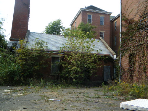
county ohio bw house halloween haunted knox onblack poorhouse
Happy Halloween
abandoned decay homeless haunted urbex knoxcounty billb1961
Eastern View
abandoned decay homeless haunted urbex knoxcounty billb1961
Withering Heights
abandoned decay homeless haunted urbex knoxcounty billb1961
Rear View
abandoned decay homeless haunted urbex knoxcounty billb1961
You're the Star
abandoned decay homeless haunted urbex knoxcounty billb1961
Room with a View
abandoned decay homeless haunted urbex knoxcounty billb1961
NO ESCAPE 2
abandoned decay homeless haunted urbex knoxcounty billb1961
Do Not Enter
abandoned decay homeless haunted urbex knoxcounty billb1961
Up, Up and Away
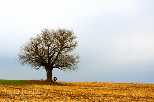
sky nature canon landscape outside oak corn cornfield harvest tire swing tireswing jasonmanion canonrebelt3i
Tire Swing - HDR
orange fall beautiful canon landscape outside rebel pretty fallcolors gorgeous 1022mm hdr 1022 t3i 10mm leadinglines jasonmanion canonrebelt3i
It's Fall Again! - HDR
sunset beautiful barn canon landscape outside rebel round hay hdr haybales t3i jasonmanion canonrebelt3i
Farm Sunset - HDR
ohio rural delawareohio delawareoh
Perfect School, Delaware County, Ohio
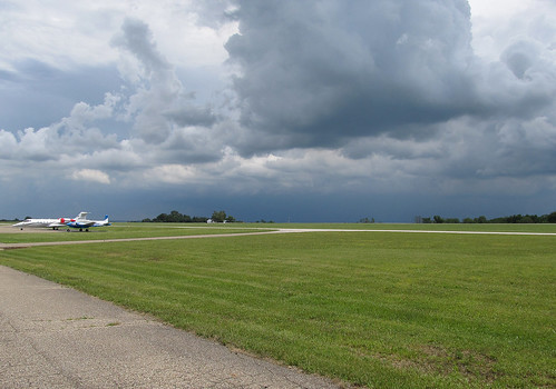
ohio summer storm weather clouds plane airplane landscape landscapes airport ramp cloudy parking airplanes stormy planes oh thunderstorm summertime parked airports storms mountvernon thunderclouds severe severeweather cumulonimbus tstorm knoxcounty learjet60 knoxcountyairport countyairport n260aj 4i3 b50twinbonanza n695pv
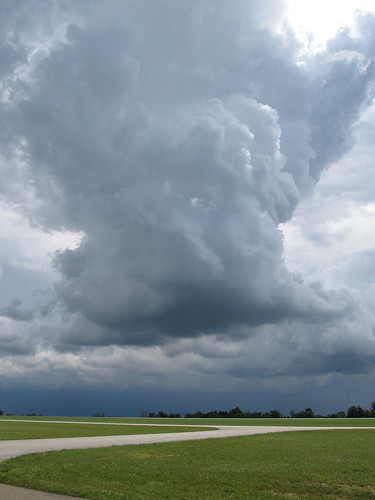
Summer Thunderstorm at 4I3
ohio summer storm weather clouds plane airplane landscape landscapes airport cloudy airplanes stormy planes oh thunderstorm summertime airports storms mountvernon thunderclouds severe severeweather cumulonimbus tstorm knoxcounty knoxcountyairport countyairport 4i3
Summer Thunderstorm at 4I3
trees winter sunset ohio snow cold tree ice landscape evening landscapes frozen frost dusk freezing sunsets frosty freeze oh icy wintertime snowfall evenings frosted snows wintry ruralohio centralohio centervillage
Rural Ohio Winter
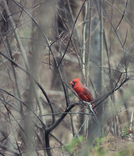
ohio black bird nature animals landscape woods nikon cardinal frog ladybug whtie
Morris Woods 15
mailpouch mailpouchbarn adbarn
MPB 35-45-05 Licking County, Ohio
centerburg ohio unitedstates us milfordtownship farmland landscape farm agriculture rural historic buildings structures outbuildings barn farmhouse house dwelling field trees overcast knoxcounty
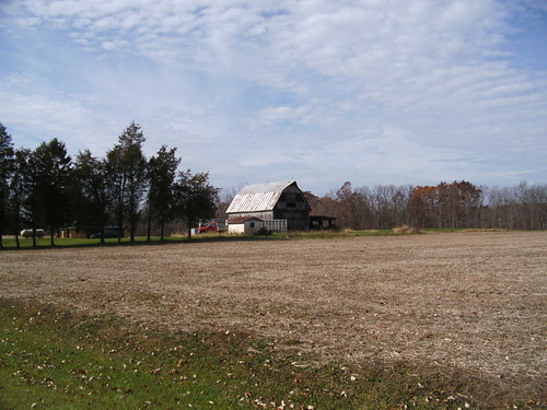
Farmland — Milford Township, Knox County, Ohio
uploaded:by=flickrmobile flickriosapp:filter=nofilter
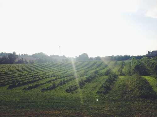
Ohio berry season!!!!
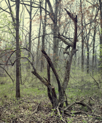
trees ohio nature landscape woods surreal
morris woods
ohio white black rabbit nature birds animals landscape woods nikon frogs
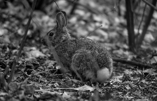
Morris Woods 82
ohio black bird nature animals landscape woods nikon cardinal frog ladybug whtie
Morris Woods 27
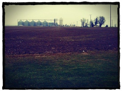
iphone iphoneography
Winter's edge at the elevator
ohio black bird nature animals landscape woods nikon cardinal frog ladybug whtie
Tree Frog
ohio black bird nature animals landscape woods nikon cardinal frog ladybug whtie
Morris Woods 152
ohio black bird nature animals landscape woods nikon cardinal frog ladybug whtie
Morris Woods 157
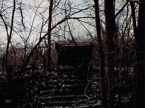
ohio abandoned decay urbanexploration bangs urbex knoxcounty billb1961 knoxcountyhomefortheinfirmed
Onward Thru the Fog