Elevation of Lock Rd, Centerburg, OH, USA

Location: United States > Ohio > Knox County > Milford Township >

Longitude: -82.610699

Latitude: 40.271366

Elevation: 346m / 1135feet

Barometric Pressure: 97KPa

Elevation Map:

elevation map of Lock Rd, Centerburg, OH, USA

Satellite Map:

Satellite map of Lock Rd, Centerburg, OH, USA

Related Photos:

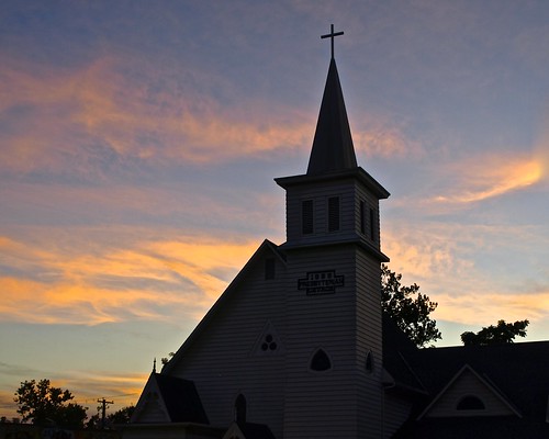
pink blue sunset sky orange church colors silhouette clouds evening twilight sundown steeple
Steeple at Sunset
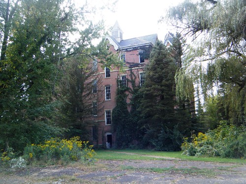
county ohio bw house halloween haunted knox onblack poorhouse
Happy Halloween
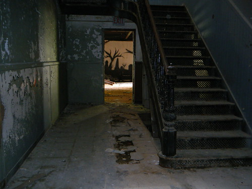
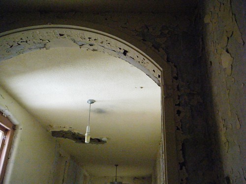
abandoned decay homeless haunted urbex knoxcounty billb1961
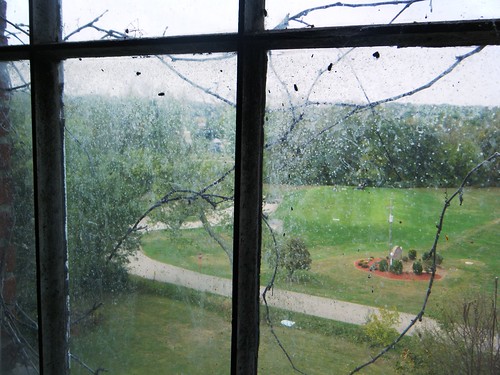
Room with a View
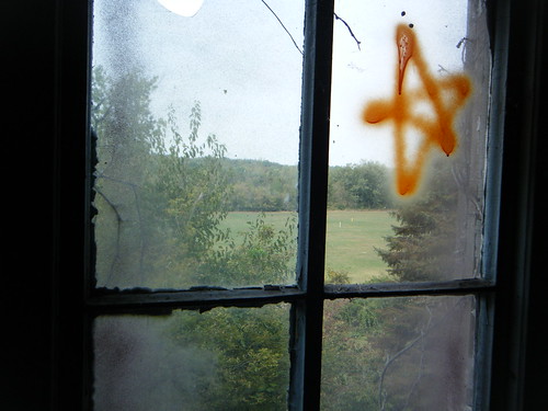
abandoned decay homeless haunted urbex knoxcounty billb1961
You're the Star
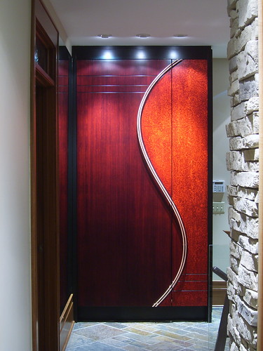
bamboo woodworking lacquer moderndesign veneer finewoodworking reddye customdesign customwoodworking closetstorage blackdye americancraftsman toddaclippinger coopercloset customcloset maplepommelle
Modern Entry Closet - Front
abandoned decay homeless haunted urbex knoxcounty billb1961
Withering Heights
abandoned decay homeless haunted urbex knoxcounty billb1961
Up, Up and Away
abandoned decay homeless haunted urbex knoxcounty billb1961
Do Not Enter
abandoned decay homeless haunted urbex knoxcounty billb1961
Rear View
abandoned decay homeless haunted urbex knoxcounty billb1961
Eastern View
abandoned decay homeless haunted urbex knoxcounty billb1961
NO ESCAPE 2
square squareformat iphoneography instagramapp uploaded:by=instagram
My favorite moss (today).
autumn trees blackandwhite bw monochrome fog square landscape blackwhite woods nikon frost foggy hills d5000 noahbw
Ohio Farmland Sunrise
autumn trees light blackandwhite bw sunlight mist monochrome silhouette misty fog sunrise square landscape blackwhite nikon frost branches foggy d5000 noahbw
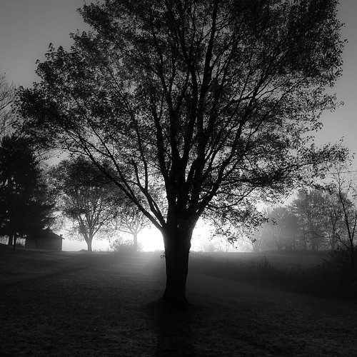
Cold Morning Sun Behind Trees 002
sunset beautiful barn canon landscape outside rebel round hay hdr haybales t3i jasonmanion canonrebelt3i
Farm Sunset - HDR
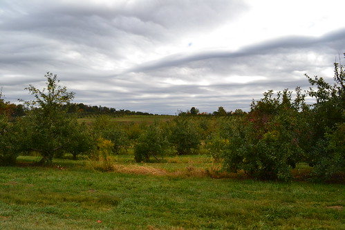
Legend Hills
sky nature canon landscape outside oak corn cornfield harvest tire swing tireswing jasonmanion canonrebelt3i
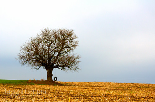
Tire Swing - HDR
park ohio building tower ariel glass architecture industrial pittsburgh factory may plate structure foundation company smokestack mountvernon canonsx10is
Foundation Park, Mount Vernon, Ohio
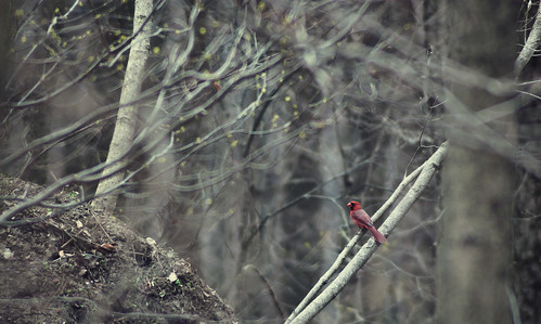
ohio black bird nature animals landscape woods nikon cardinal frog ladybug whtie
Morris Woods 15
trees ohio nature landscape woods surreal
morris woods
iphone iphoneography
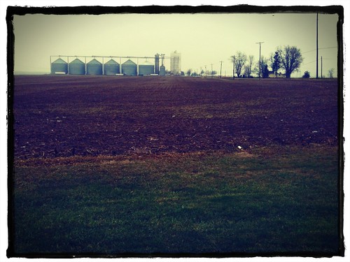
Winter's edge at the elevator
ohio black bird nature animals landscape woods nikon cardinal frog ladybug whtie
Morris Woods 27
uploaded:by=flickrmobile flickriosapp:filter=nofilter
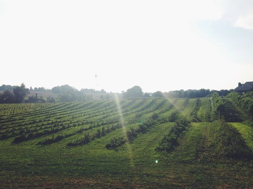
Ohio berry season!!!!
ohio abandoned decay urbanexploration bangs urbex knoxcounty billb1961 knoxcountyhomefortheinfirmed
Onward Thru the Fog
Legend Hills
ohio black bird nature animals landscape woods nikon cardinal frog ladybug whtie
Morris Woods 157
park ohio sculpture art ariel glass pittsburgh factory may plate foundation company publicart mountvernon girder metalsculpture canonsx10is
Metal Girder Art Installation at Foundation Park, Mount Vernon, Ohio
county ohio 21 country 21st may amish oh holmes rubbertoe 2013 uploaded:by=flickrmobile flickriosapp:filter=nofilter
Amish Country Day Trip
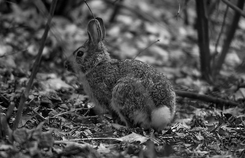
ohio white black rabbit nature birds animals landscape woods nikon frogs
Morris Woods 82
mailpouch mailpouchbarn adbarn
MPB 35-45-05 Licking County, Ohio
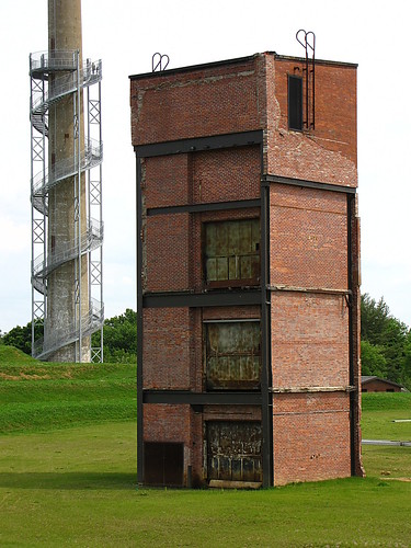
park ohio building brick tower ariel glass architecture industrial pittsburgh may plate structure foundation company smokestack mountvernon canonsx10is
Foundation Park, Mount Vernon, Ohio
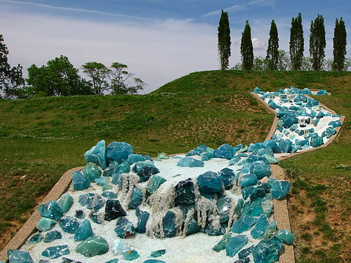
park blue ohio sculpture green art ariel glass waterfall aqua pittsburgh may plate foundation company publicart mountvernon canonsx10is
Glass Waterfall Art Installation at Foundation Park, Mount Vernon, Ohio