Elevation of Township Hwy, Marengo, OH, USA
Location: United States > Ohio > Morrow County > Bennington Township > Marengo >
Longitude: -82.772251
Latitude: 40.3809663
Elevation: 365m / 1198feet
Barometric Pressure: 97KPa
Elevation Map:
Satellite Map:
Related Photos:

Modern Entry Closet - Front

Perfect School, Delaware County, Ohio

Farm Sunset - HDR

The Farm

Truck_102111_LR-154.jpg

Truck_102111_LR-144.jpg
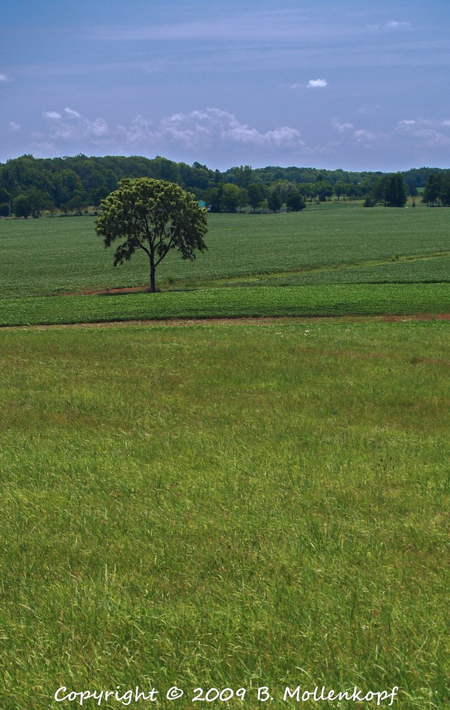
Lone Tree

Perseid Night

11-17-14

11-17-14
Erdy Farm 1OA8
Topographic Map of Township Hwy, Marengo, OH, USA
Find elevation by address:

Places near Township Hwy, Marengo, OH, USA:
Bennington Township
Sg Stables
Marengo
1 N Main St, Marengo, OH, USA
6128 Prospect Mt Vernon Rd
4050 Bennington Way
South Bloomfield Township
Township Road 179
6401 Co Rd 21
Harmony Township
Co Rd 25, Marengo, OH, USA
4522 Co Rd 25
6908 Co Rd 19
9 Center St, Fulton, OH, USA
4790 Condit Rd
Centerburg
OH-3, Sunbury, OH, USA
2495 Township Rd 180
Chester Township
Hartford Rd, Sunbury, OH, USA
Recent Searches:
- Elevation of Corso Fratelli Cairoli, 35, Macerata MC, Italy
- Elevation of Tallevast Rd, Sarasota, FL, USA
- Elevation of 4th St E, Sonoma, CA, USA
- Elevation of Black Hollow Rd, Pennsdale, PA, USA
- Elevation of Oakland Ave, Williamsport, PA, USA
- Elevation of Pedrógão Grande, Portugal
- Elevation of Klee Dr, Martinsburg, WV, USA
- Elevation of Via Roma, Pieranica CR, Italy
- Elevation of Tavkvetili Mountain, Georgia
- Elevation of Hartfords Bluff Cir, Mt Pleasant, SC, USA