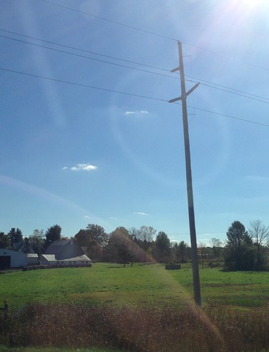
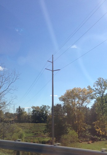
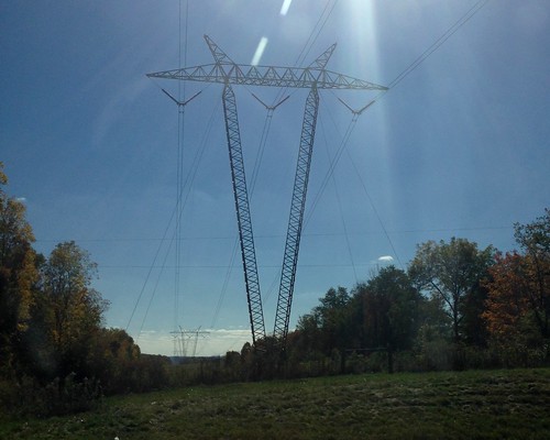
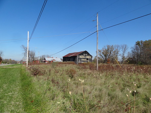
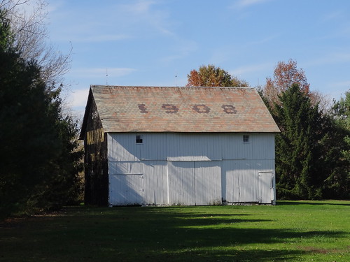
Elevation of Morrow County, OH, USA
Location: United States > Ohio >
Longitude: -82.800799
Latitude: 40.5303751
Elevation: 358m / 1175feet
Barometric Pressure: 97KPa
Related Photos:
Topographic Map of Morrow County, OH, USA
Find elevation by address:

Places in Morrow County, OH, USA:
Harmony Township
Bennington Township
Gilead Township
Washington Township
South Bloomfield Township
Chester Township
Congress Township
Cardington
Troy Township
Perry Township
Places near Morrow County, OH, USA:
Mount Gilead
Gilead Township
Township Hwy, Mt Gilead, OH, USA
3435 Co Rd 125
4522 Co Rd 25
9 Center St, Fulton, OH, USA
Co Rd 25, Marengo, OH, USA
Harmony Township
7326 Oh-19
Cardington
Township Road 179
Congress Township
4226 Co Rd 29
1 N Main St, Marengo, OH, USA
Marengo
8315 Co Rd 30
Co Rd 51, Galion, OH, USA
Washington Township
Bennington Township
6128 Prospect Mt Vernon Rd
Recent Searches:
- Elevation of Corso Fratelli Cairoli, 35, Macerata MC, Italy
- Elevation of Tallevast Rd, Sarasota, FL, USA
- Elevation of 4th St E, Sonoma, CA, USA
- Elevation of Black Hollow Rd, Pennsdale, PA, USA
- Elevation of Oakland Ave, Williamsport, PA, USA
- Elevation of Pedrógão Grande, Portugal
- Elevation of Klee Dr, Martinsburg, WV, USA
- Elevation of Via Roma, Pieranica CR, Italy
- Elevation of Tavkvetili Mountain, Georgia
- Elevation of Hartfords Bluff Cir, Mt Pleasant, SC, USA


