Elevation of Congress Township, OH, USA
Location: United States > Ohio > Morrow County >
Longitude: -82.713132
Latitude: 40.5874585
Elevation: 426m / 1398feet
Barometric Pressure: 96KPa
Elevation Map:
Satellite Map:
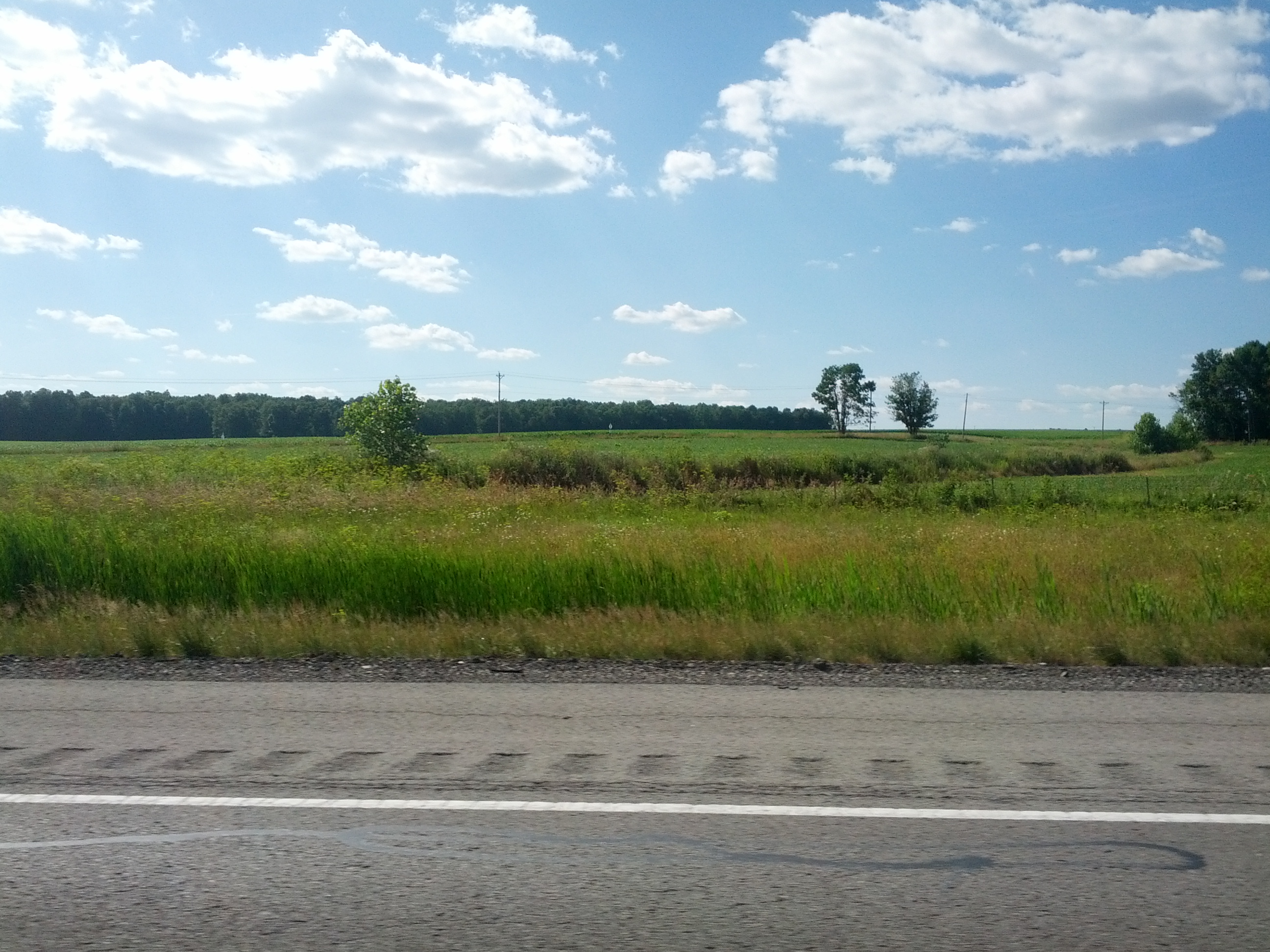
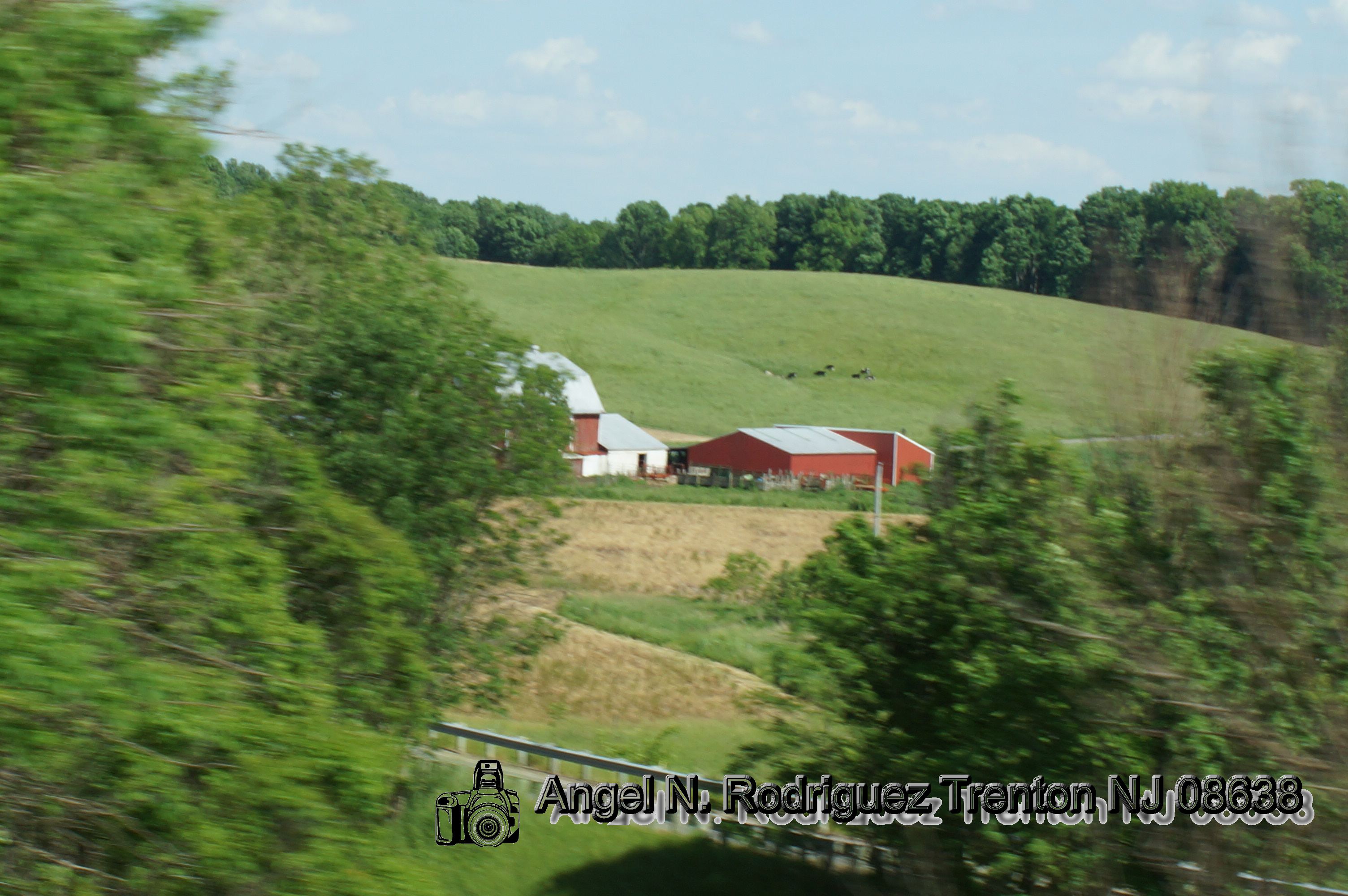
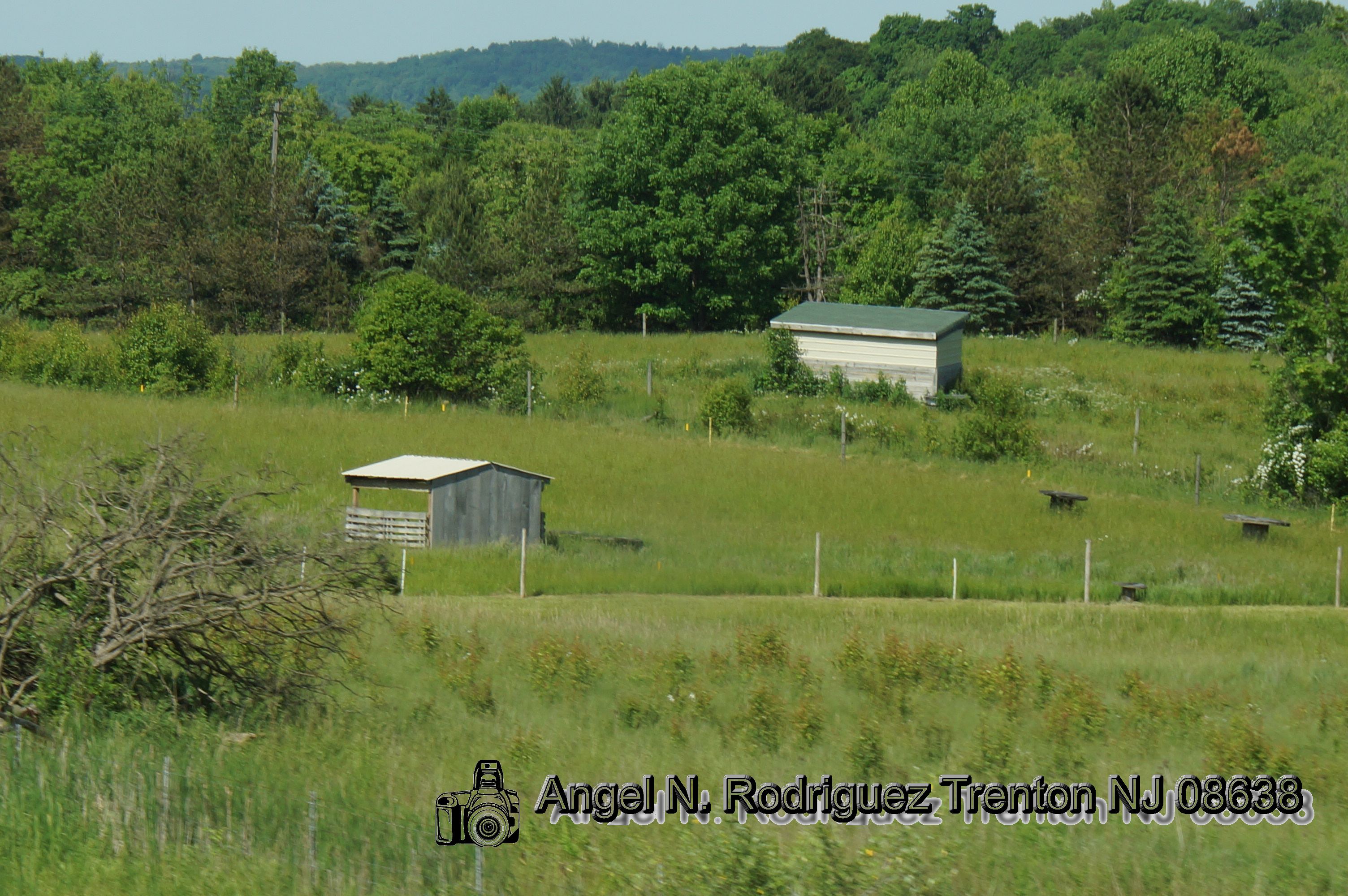
Related Photos:
ALMS 5-20 024

porsche challenge

M3 Pilot's View

Brumos Team

corvette c6.r

Into the Sun

Alfetta GT corner view

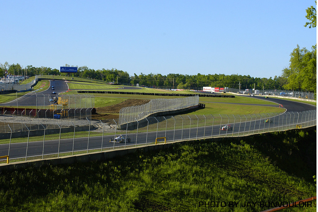
Turn three
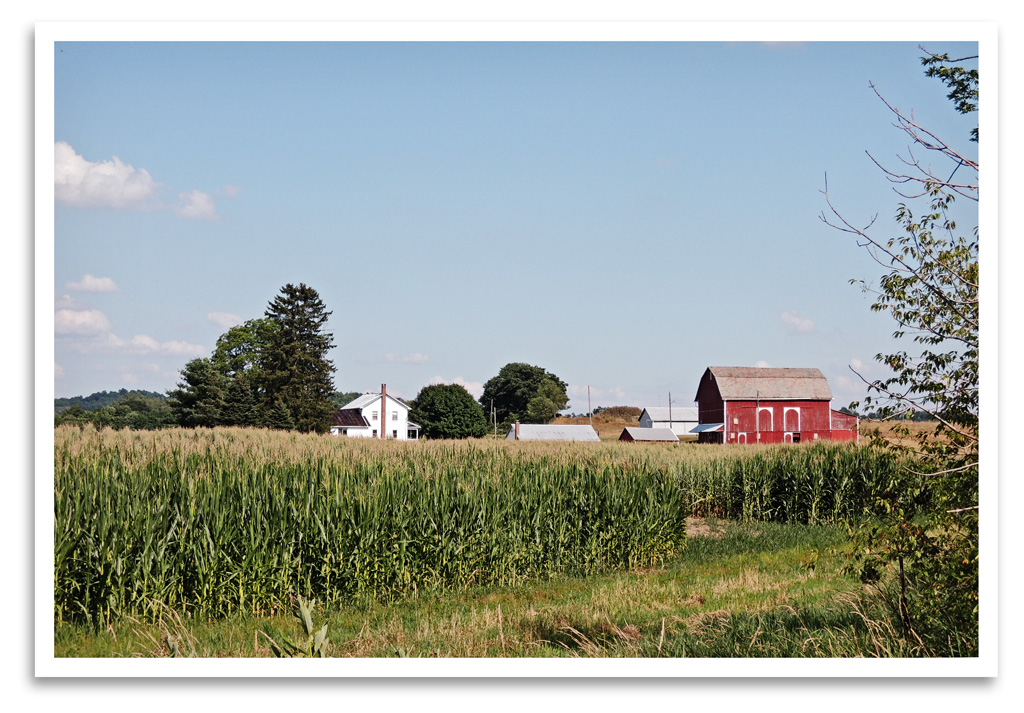
Ohio Farm

photo(an6z)

The leaves are falling

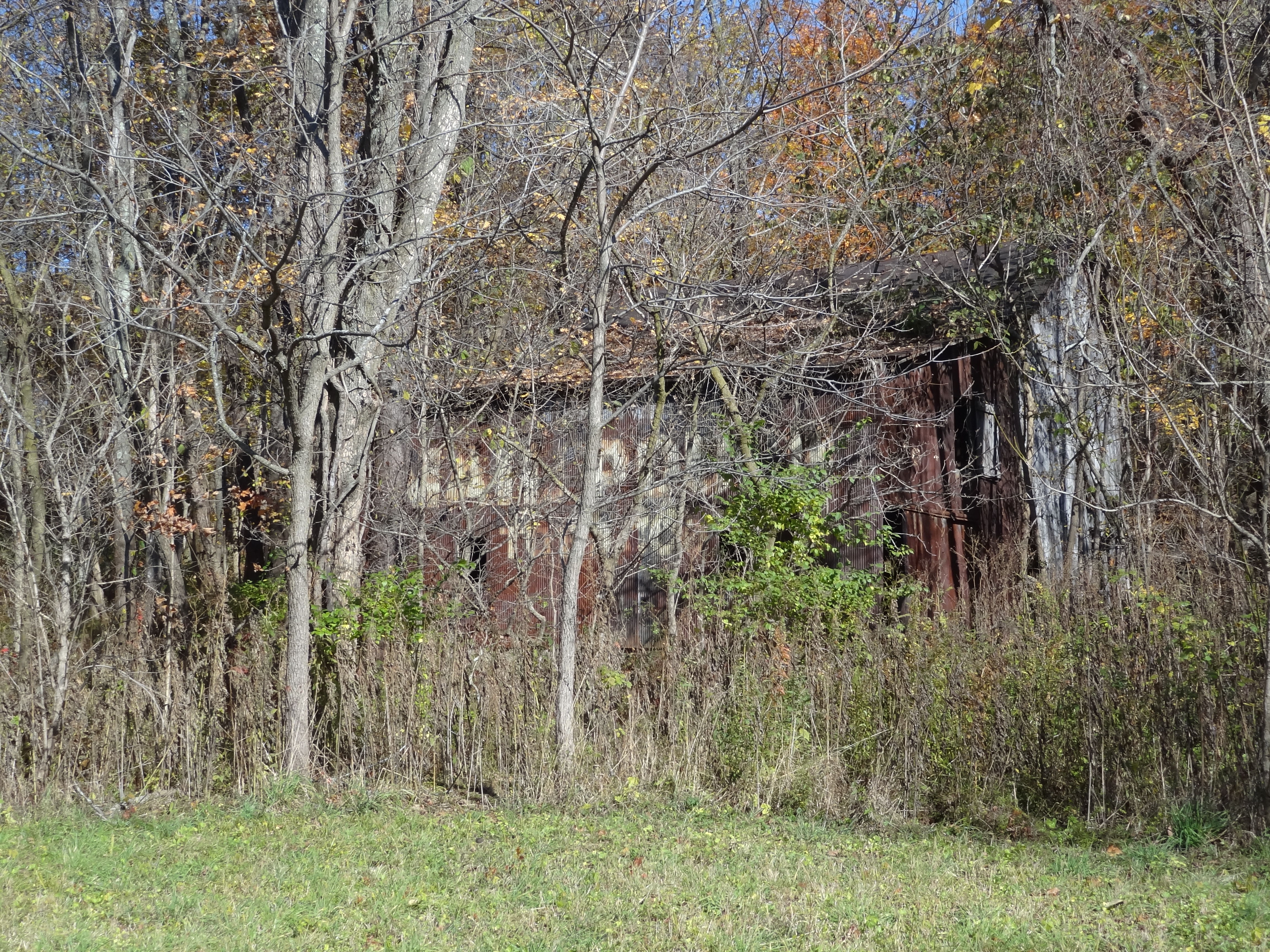
Kino hiding behind a tree

The Farm

Landscape of the esses
Cross-Country Road Trip
MPB 35-59-03, Morrow County, Ohio

img_1954.jpg

stoller road trail

VMD Friday

Too Late...
Cross-Country Road Trip

The esses

June 5 36

Inspired by Autumn

6 5 2016 (166)
6 5 2016 (176)
6 5 2016 (187)

Mt. Gilead State Park

VintageGP 1141
Topographic Map of Congress Township, OH, USA
Find elevation by address:

Places near Congress Township, OH, USA:
County Road 97
North Woodbury
Perry Township
7326 Oh-19
8670 Oh-314
Troy Township
Levering Rd, Fredericktown, OH, USA
Morrow County
4226 Co Rd 29
Mount Gilead
Gilead Township
4475 Oh-288
4465 Oh-288
Chester Township
1726 Bowers Rd
Co Rd 51, Galion, OH, USA
Harmony Township
Township Hwy, Mt Gilead, OH, USA
Washington Township
Co Rd 25, Marengo, OH, USA
Recent Searches:
- Elevation of Corso Fratelli Cairoli, 35, Macerata MC, Italy
- Elevation of Tallevast Rd, Sarasota, FL, USA
- Elevation of 4th St E, Sonoma, CA, USA
- Elevation of Black Hollow Rd, Pennsdale, PA, USA
- Elevation of Oakland Ave, Williamsport, PA, USA
- Elevation of Pedrógão Grande, Portugal
- Elevation of Klee Dr, Martinsburg, WV, USA
- Elevation of Via Roma, Pieranica CR, Italy
- Elevation of Tavkvetili Mountain, Georgia
- Elevation of Hartfords Bluff Cir, Mt Pleasant, SC, USA