![california urban cold abandoned station warning geotagged san war mt force control decay aircraft military air diego mount urbanexploration dew rads laguna airforce exploration usaf base radar coldwar urbex acw gatr 751st 751strads geo:lat=328770735384615 geo:lon=116414754846154](https://farm3.staticflickr.com/2470/3951777055_8eb7fbac49.jpg)
Looking through a broken window in the control room
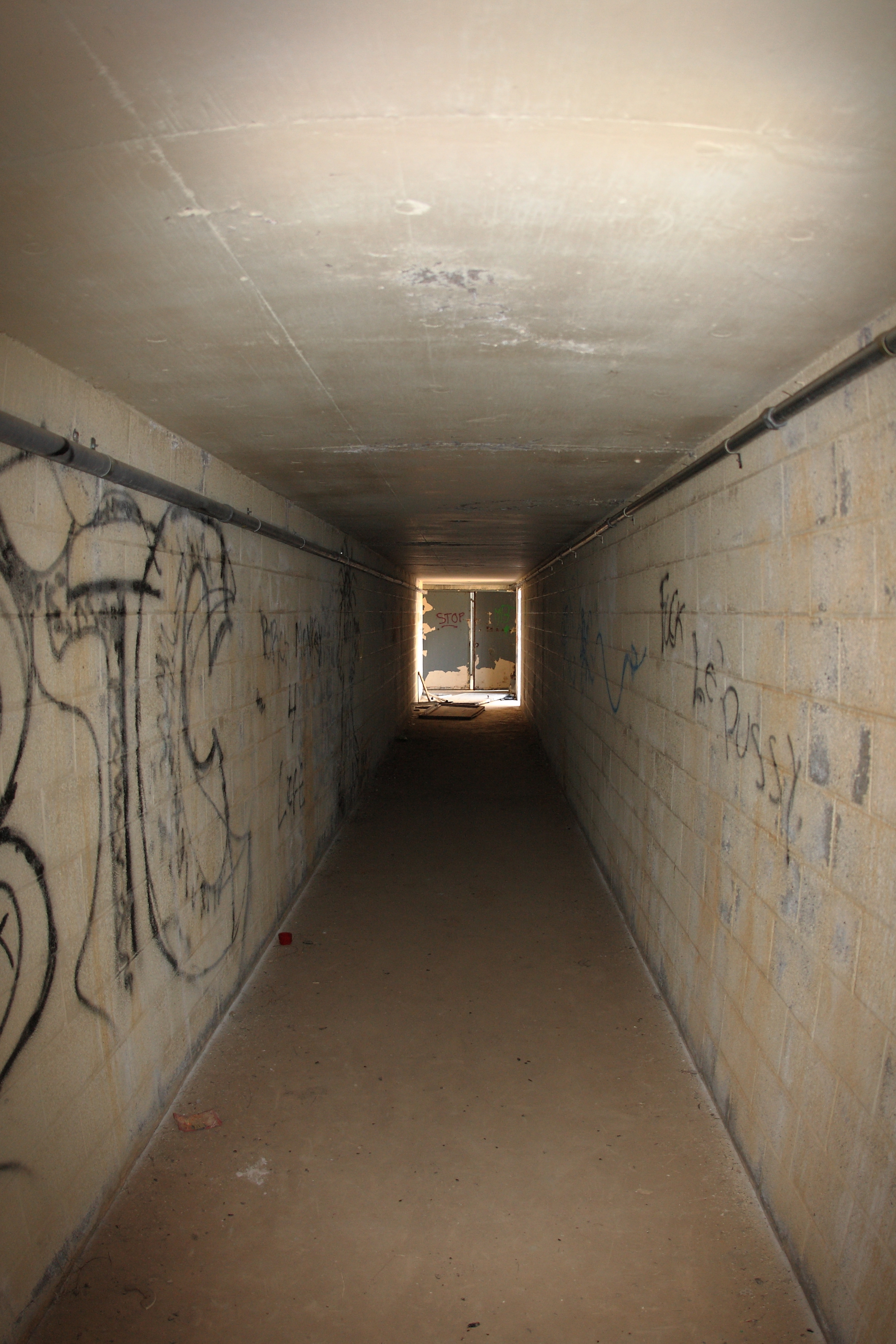
![california urban cold abandoned station warning geotagged san war mt force control decay aircraft military air diego mount urbanexploration dew rads laguna airforce exploration usaf base radar coldwar urbex acw gatr 751st 751strads geo:lat=328770042666662 geo:lon=116415667866664](https://farm4.staticflickr.com/3452/3952548188_90397ec78c.jpg)
Long hallway.
![](https://farm1.staticflickr.com/493/32084354744_abcbb5f58e.jpg)
Palm Bowl Grove.
![sunrise desert mtlaguna desertviewpicnicgrounds 100xthe2014edition 100x2014 image1100](https://farm6.staticflickr.com/5498/11716568806_b3cacf627e.jpg)
1/100 First day sunrise...
![webcam rainbow sandiego](https://farm5.staticflickr.com/4152/5221712034_35e21f5d44.jpg)
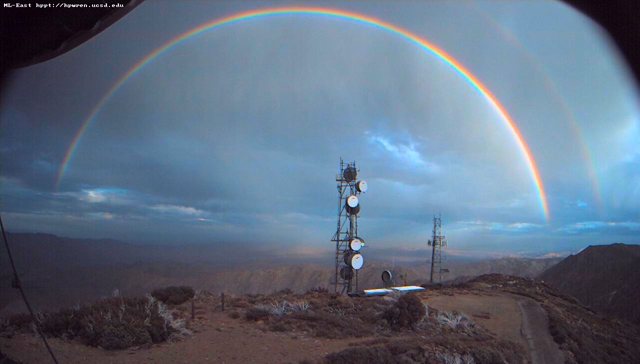
Double rainbow over the desert
![california flowers red southwest detail macro nature beauty closeup outdoors desert native bluesky socal wildflowers exploration discovery perennial ocotillo blooming sandiegocounty fouquieriaceae anzaborregodesertstatepark coloradodesert fouquieriasplendens redtorch notacactus zoniedude1 awesomeblossoms earthnaturelife canonpowershotg12 desertspring2014](https://farm3.staticflickr.com/2543/13106971625_660171787c.jpg)
Red Torch
![california panorama landscape 360 geology anzaborrego hdr vr equirectangular sdosremedios size2x3 size1x2 ©stevendosremedios](https://farm2.staticflickr.com/1290/5185520695_10e07b55e8.jpg)
Dry Waterfall
![](https://farm3.staticflickr.com/2484/32217916484_6c78d6ee26.jpg)
View from Palm Bowl Grove
![spring wildflowers sonorandesert sigma1020mm anzaborregostatepark pentaxk20d augacalientegeneralstore](https://farm5.staticflickr.com/4014/4467255629_281917ab48.jpg)
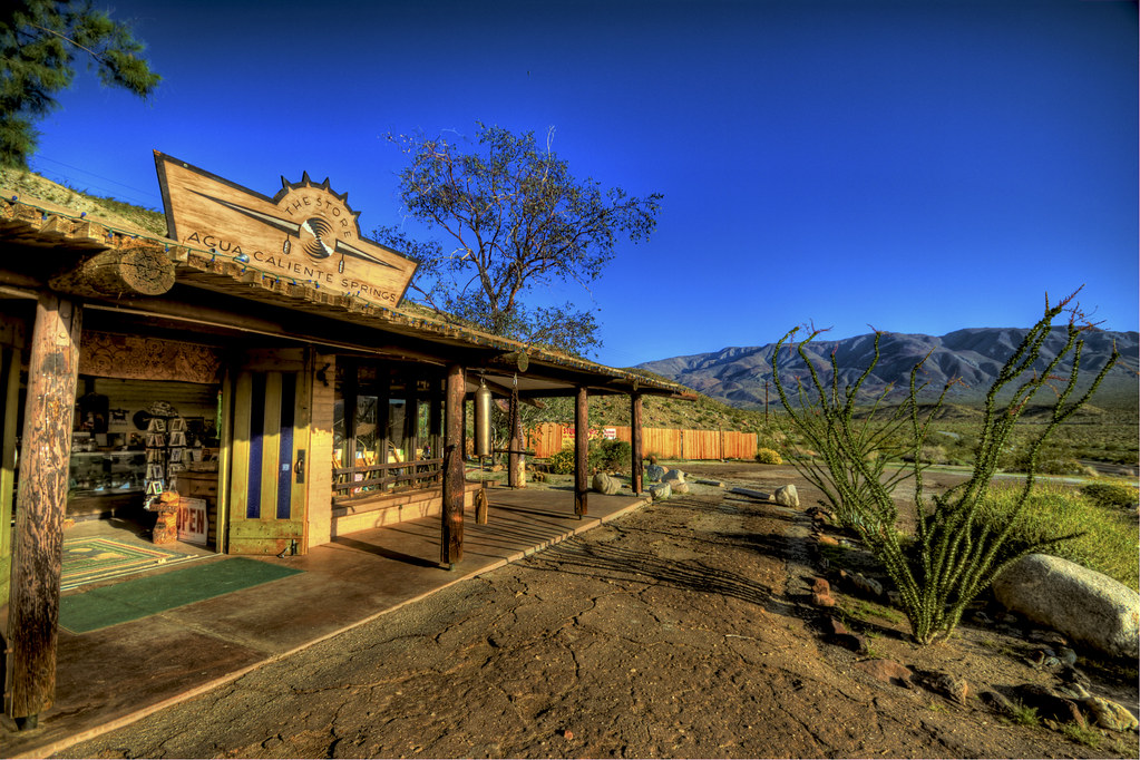
The Agua Caliente General Store
![california trip travel vacation nature outdoors aperture desert state hike trail borrego ptlens riversidecounty imperialcounty nza dfine20 olympuszuikodigitaled1442mmf3556 olympuse620 mygearandme viveza2 mygearandmepremium dblringexcellence parksandiegocounty](https://farm6.staticflickr.com/5106/5601960308_8449d261f4.jpg)
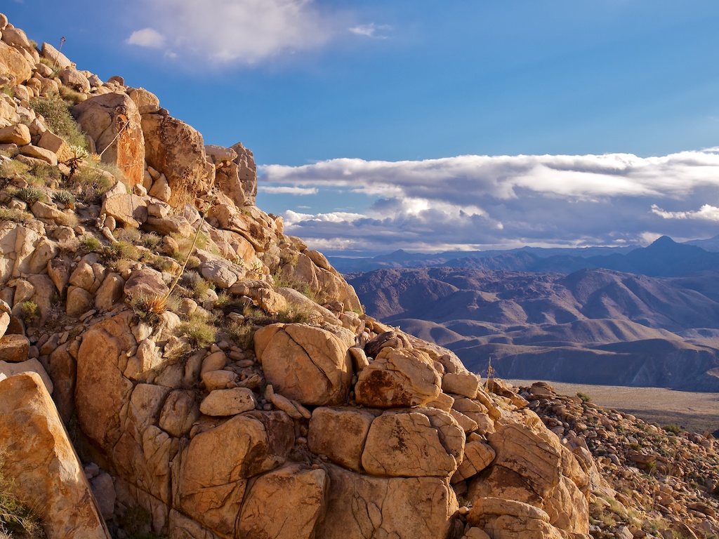
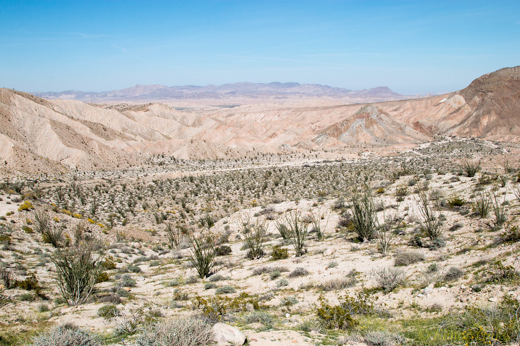
Anza-Borrego Desert State Park, View of Carrizo Valley
![california sky clouds desert anzaborrego stateparks anzaborregostatepark desertskies desertimages anzaborregomountains roadtrip2012](https://farm8.staticflickr.com/7254/7484830892_d288ca5fc6.jpg)
Night Sky
![california ca longexposure urban cold abandoned station bulb night warning geotagged early san war mt force control decay aircraft military air diego mount urbanexploration dew rads laguna airforce exploration usaf base radar def afs coldwar distant squadron urbex acw distantearlywarning gelling gatr 751st geo:lat=328752193999999 geo:lon=116414429 751strads](https://farm4.staticflickr.com/3179/2729999441_9299a84c82.jpg)
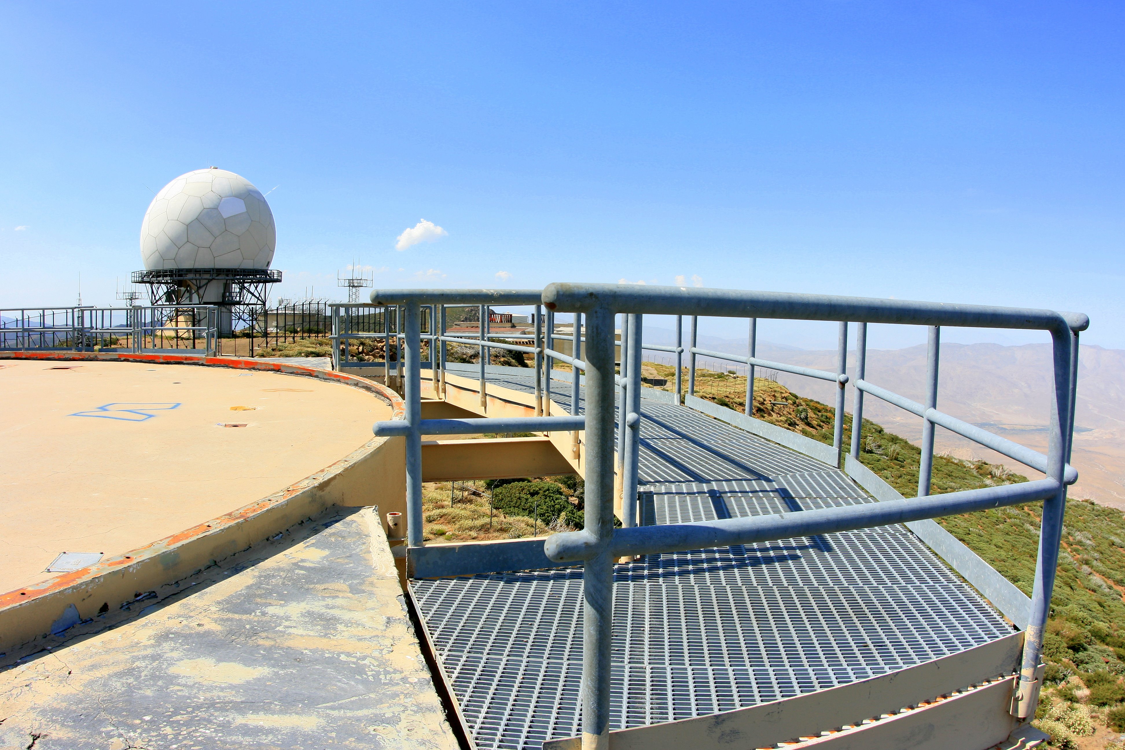
View from the catwalk of the abandoned Mount Laguna radar tower
![california urban cold abandoned station warning underground geotagged san war mt force control decay aircraft military air nuclear diego mount bunker urbanexploration dew rads falloutshelter laguna airforce shelter bomb exploration usaf base radar coldwar fallout urbex acw gatr 751st 751strads geo:lat=328763936445951 geo:lon=116414532885521](https://farm4.staticflickr.com/3441/3944153130_b68286d4df.jpg)
We couldn't save them
![california ca longexposure urban cold abandoned station bulb night warning geotagged early san war mt force control decay aircraft military air diego mount urbanexploration dew rads laguna airforce exploration usaf base radar def afs coldwar distant squadron urbex acw distantearlywarning gelling gatr 751st geo:lat=328752822000001 geo:lon=1164144442 751strads](https://farm4.staticflickr.com/3087/2729993817_c12b141d7d.jpg)
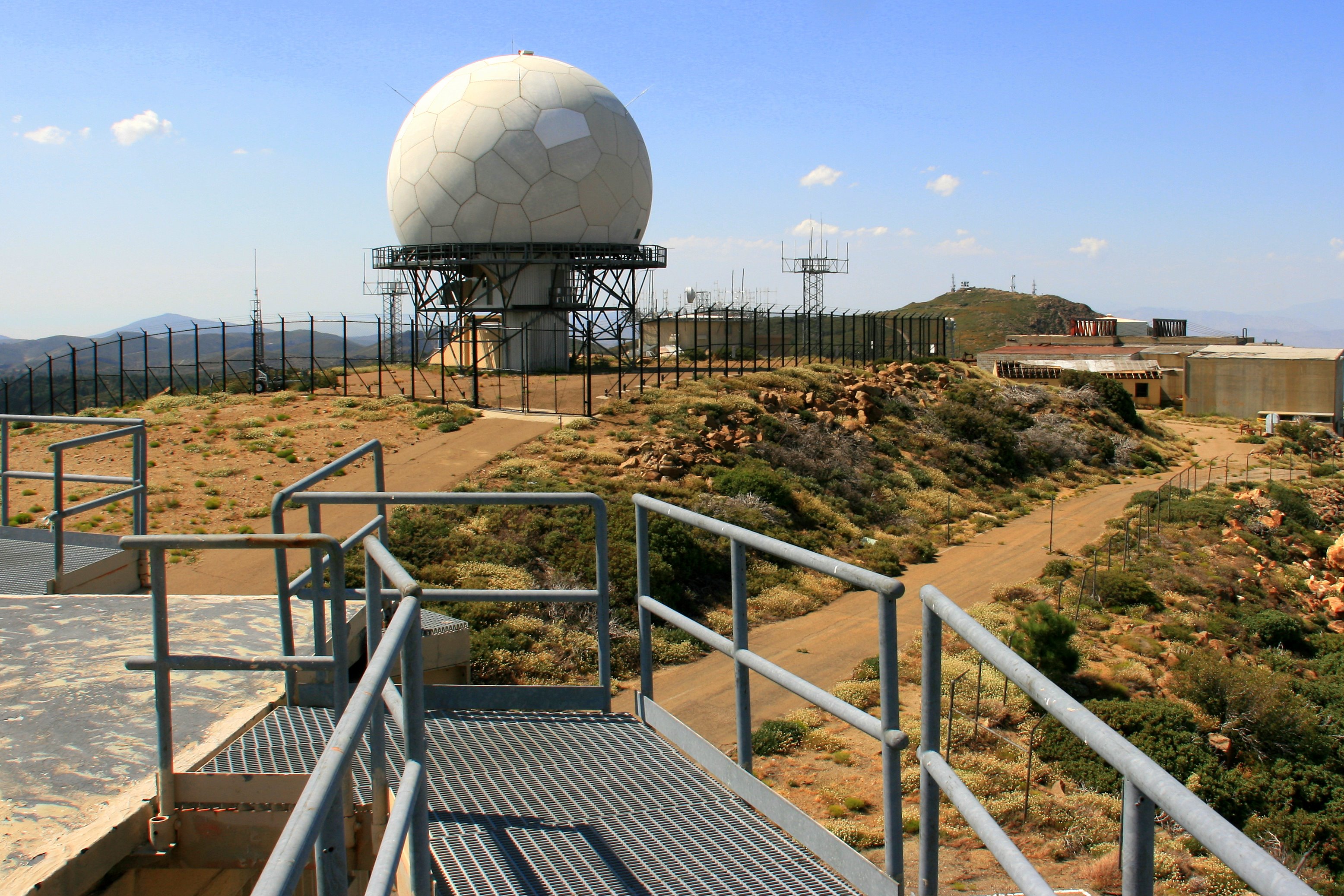
View of modern FAA radar dome from atop the catwalk of the old radar tower
![california panorama landscape 360 geology anzaborrego hdr vr pictograph equirectangular sdosremedios size1x2 ©stevendosremedios](https://farm5.staticflickr.com/4110/5185528413_861beaf87d.jpg)
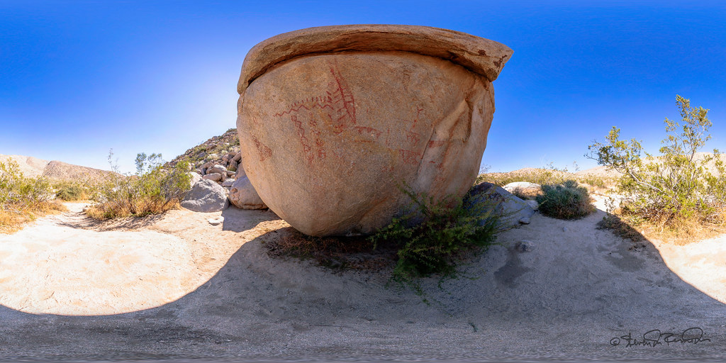
Pictograph - Anza Borrego Desert
![california landscapes views](https://farm3.staticflickr.com/2642/5851290087_8122430219.jpg)
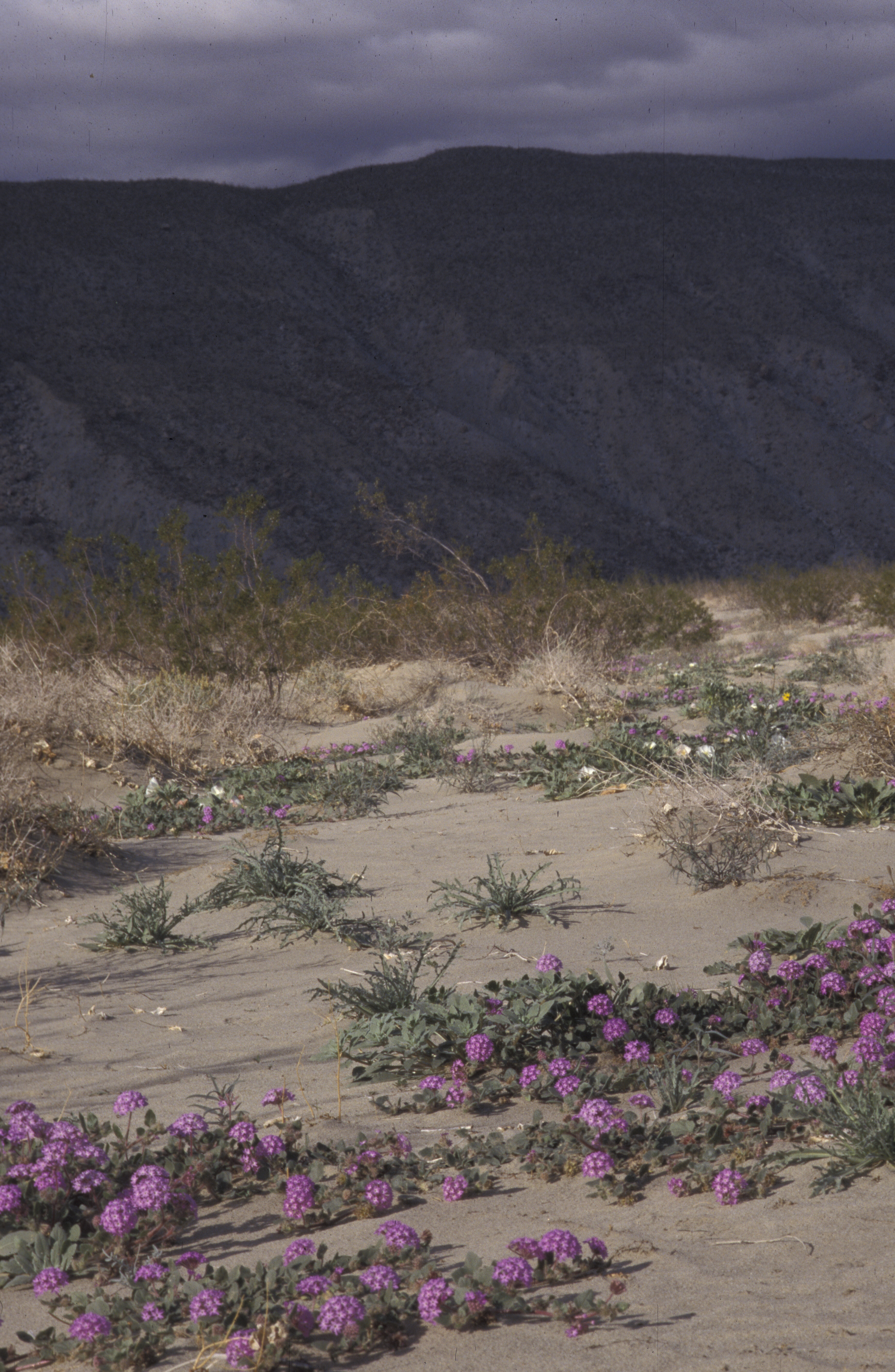
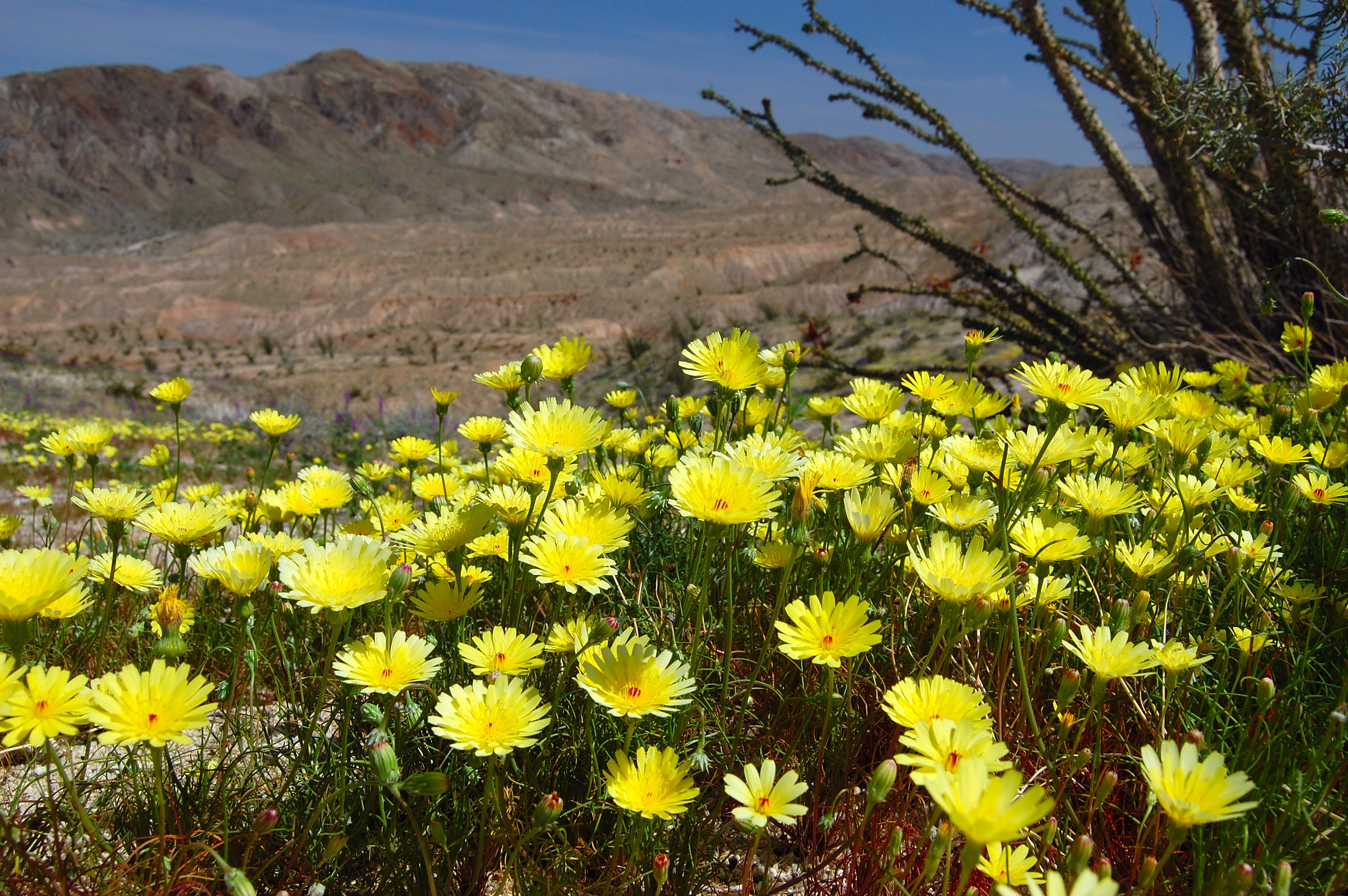
desert wildflowers, Anza Borego, CA 1998_01_02 001.jpg
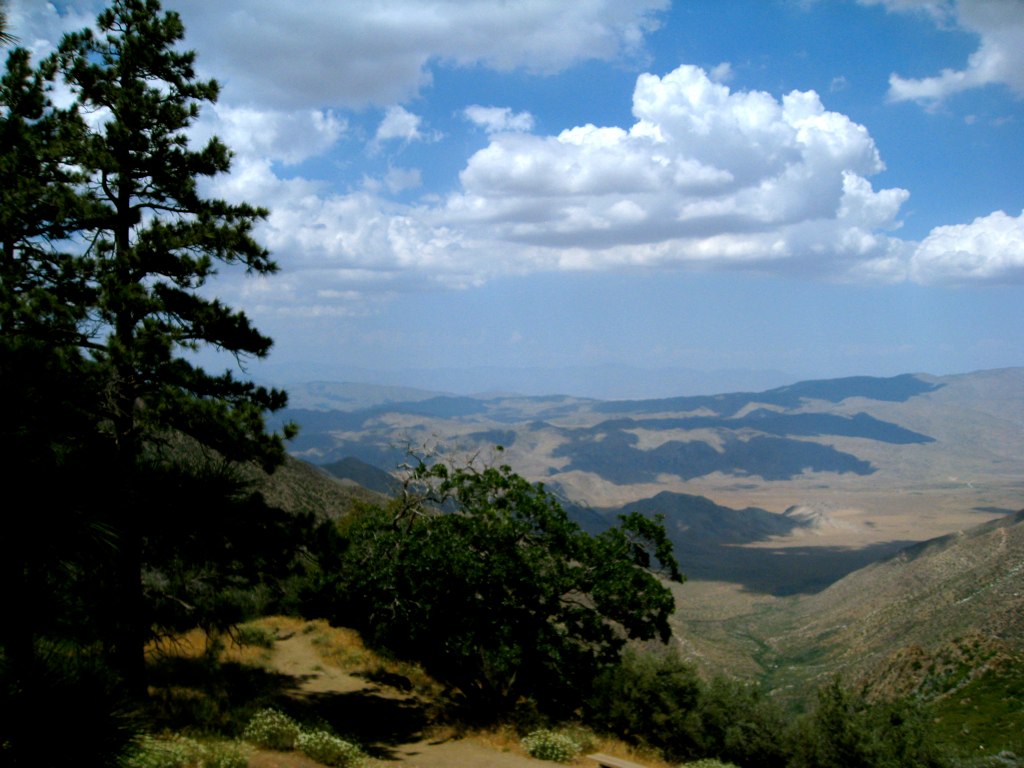
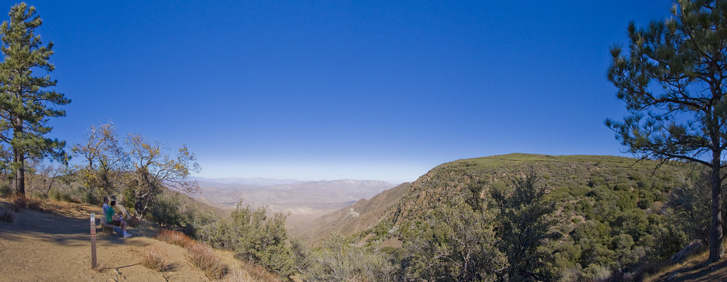
![](https://farm3.staticflickr.com/2596/3690488957_29f3aeb6cb.jpg)
Clouds and a view
![way stars timelapse desert time anzaborrego milky lapse](https://farm6.staticflickr.com/5209/5725933056_04f10fefb2.jpg)
Milky Way and Other Stars - Time Lapse - Anza-Borrego Desert State Park - May 2, 2011
![](https://farm6.staticflickr.com/5476/12111924044_a53e7566b7.jpg)
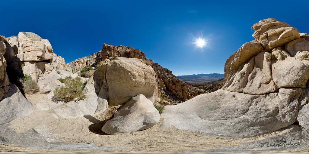
View from Southwest Grove.
![california urban cold abandoned station warning underground geotagged san war mt force control decay aircraft military air nuclear diego mount bunker urbanexploration dew rads falloutshelter laguna airforce shelter bomb exploration usaf base radar coldwar fallout urbex acw gatr 751st 751strads geo:lat=328763914331871 geo:lon=116414535728759](https://farm4.staticflickr.com/3459/3944100830_932a45ef9f.jpg)
Inside the bomb shelter - sunlight shining in through the hatch
![](https://farm4.staticflickr.com/3186/3015396390_988e461499.jpg)
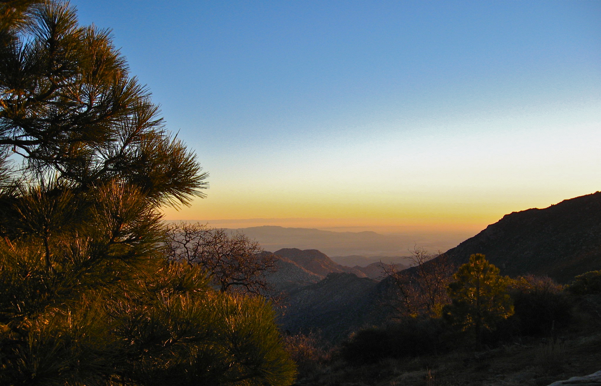
sunrise desert view 1
![california unitedstates mountlaguna](https://farm8.staticflickr.com/7335/9736748427_7e769a759d.jpg)
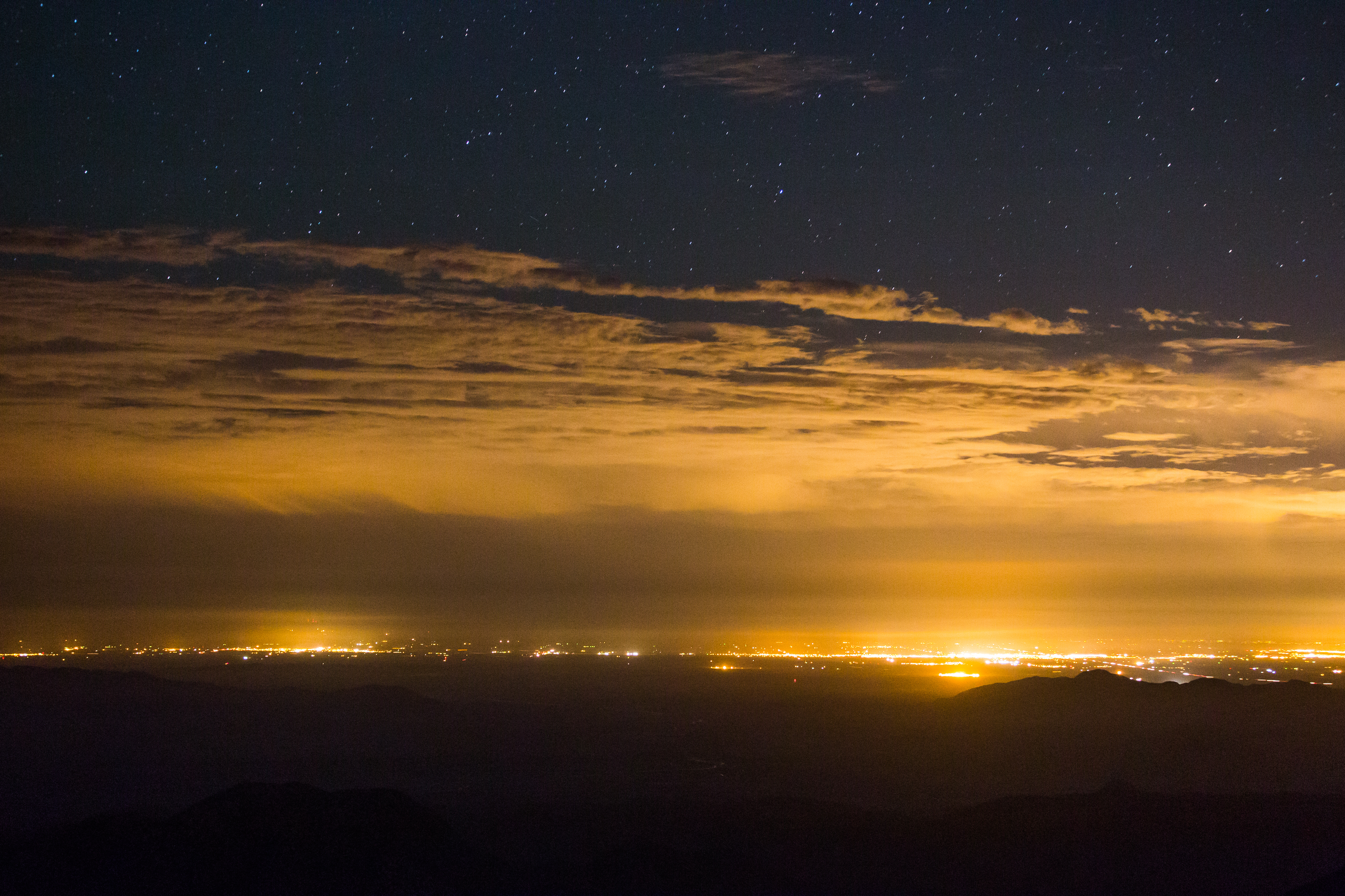
Stars, clouds, and light pollution. Looking east from atop Mount Laguna.
![sunset night twilight desert cloudy anzaborrego](https://farm4.staticflickr.com/3746/10658688265_a37ed7dfd1.jpg)
Twilight in Anza-Borrego Desert State Park.
![](https://farm5.staticflickr.com/4029/4449719088_b5babcab76.jpg)
Desert Bloom, Sweeney Pass
![sandiegocounty california unitedstates us](https://farm4.staticflickr.com/3678/33432966461_5c02c4722b.jpg)
IMG_7529.jpg
![](https://farm4.staticflickr.com/3851/33721504776_29cf8383c8.jpg)
Anzo Borrego
![](https://farm4.staticflickr.com/3943/32949492603_b4035f6fec.jpg)
Anzo Borrego
![america anza borrego bursera ca california desert elephant microphylla north socal tree usa anzaborrego](https://farm5.staticflickr.com/4299/35864507821_064b8faa4d.jpg)
Elephant Trees (Bursera microphylla), Torote Canyon of Anza-Borrego State Park, California
![canyonsinnombre canyon anzaborrego anzaborregodesertstatepark clouds panorama weather desert california](https://farm1.staticflickr.com/481/31632640314_03efd9a390.jpg)
Cloudy Skies Over Canyon Sin Nombre
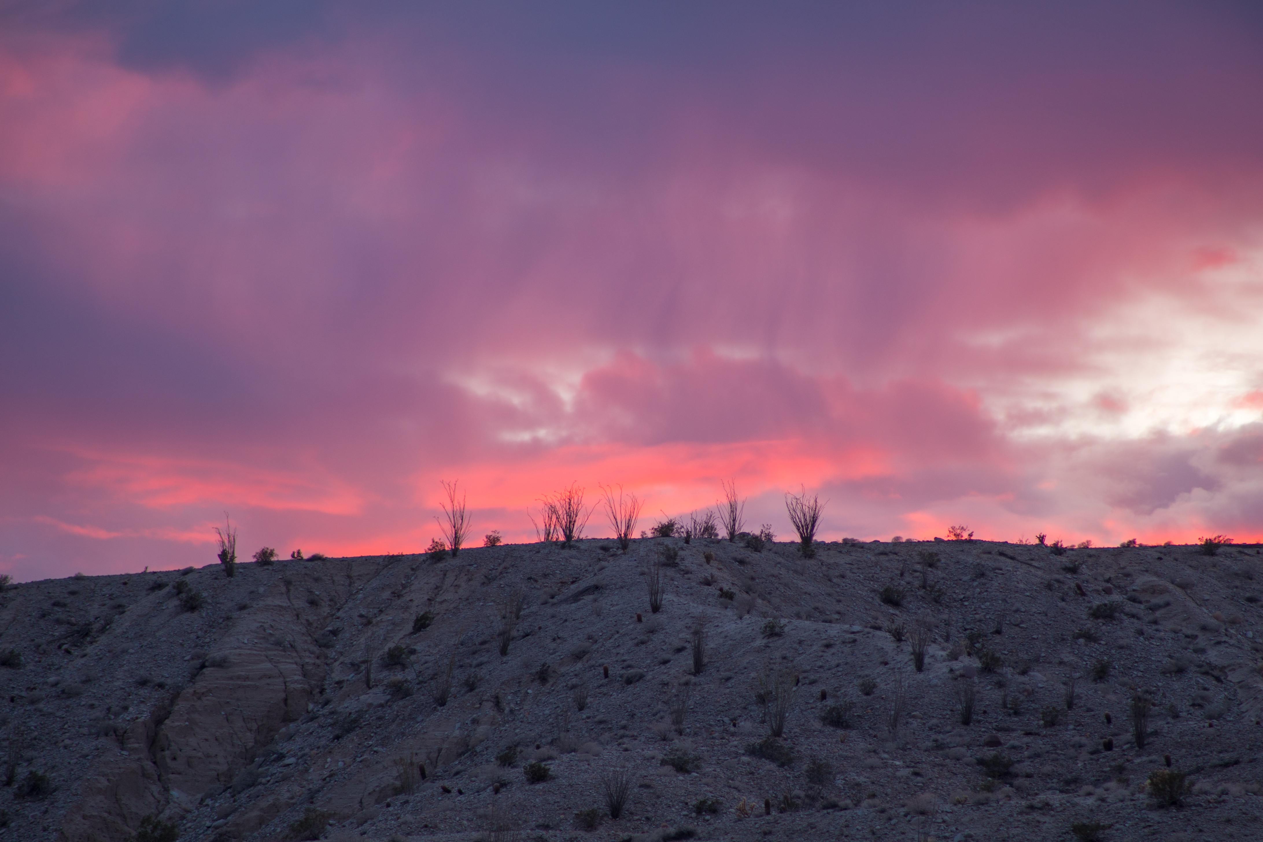
![usa bestof sandiego](https://farm6.staticflickr.com/5490/11083894554_413084dc59.jpg)
Ocotillo Sunset
![](https://farm7.staticflickr.com/6114/6255554835_12d2feffc2.jpg)
Goldenrod & old log
![moblog samsunggalaxysiii](https://farm8.staticflickr.com/7547/15982070386_82a4bbe41c.jpg)
Sunset in Anza-Borrego Desert Park. #camping #anzaborrego
![](https://farm9.staticflickr.com/8428/7593411300_c69c1cc534.jpg)
Carrizo Badlands
![california desert anzaborrego anzaborregodesertstatepark](https://farm6.staticflickr.com/5044/5282238024_1668e5656c.jpg)
Vallecito sunrise
![california unitedstates desert anzaborrego milkyway anzaborregodesertstatepark](https://farm6.staticflickr.com/5603/15394451330_eeb5e03666.jpg)
Night in the desert.
![usa bestof sandiego](https://farm6.staticflickr.com/5530/11083796335_7bd50b139b.jpg)
Borrego Clouds
![panorama desert anzaborrego anzaborregodesertstatepark](https://farm9.staticflickr.com/8562/15827396098_c4eeb9249e.jpg)
Campsite panorama at Hollywood & Vine in Anza-Borrego Desert State Park
![square squareformat mayfair iphoneography instagramapp uploaded:by=instagram foursquare:venue=4f6e8348e4b06892a0944ae0](https://farm9.staticflickr.com/8259/8666452699_ec0ecbf35d.jpg)
Yes I drove through that - amazing #offroading #camping #adventure #nature