Elevation of Canebrake Rd, Julian, CA, USA
Location: United States > California > San Diego County > Julian >
Longitude: -116.24461
Latitude: 32.9070552
Elevation: 324m / 1063feet
Barometric Pressure: 97KPa
Elevation Map:
Satellite Map:
Related Photos:
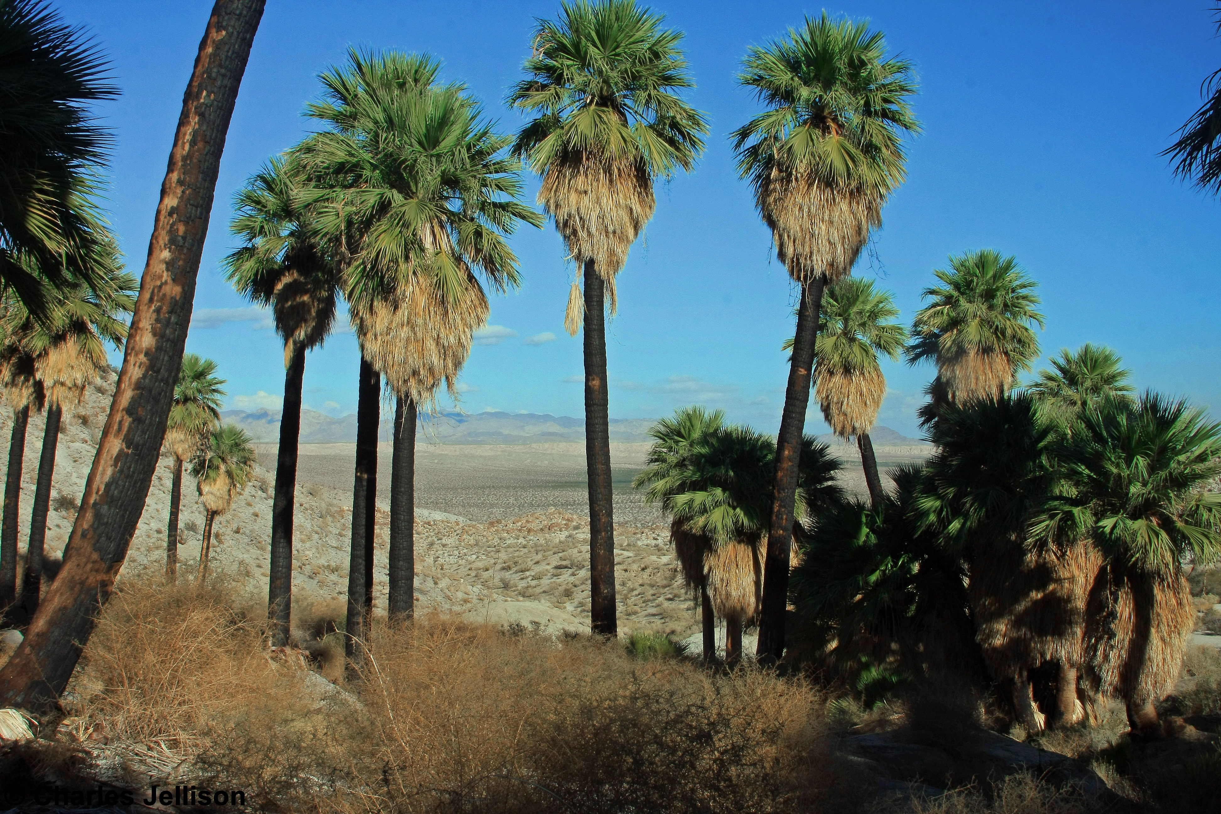
View from Southwest Grove

Red Torch
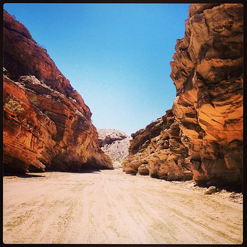
Dry Waterfall
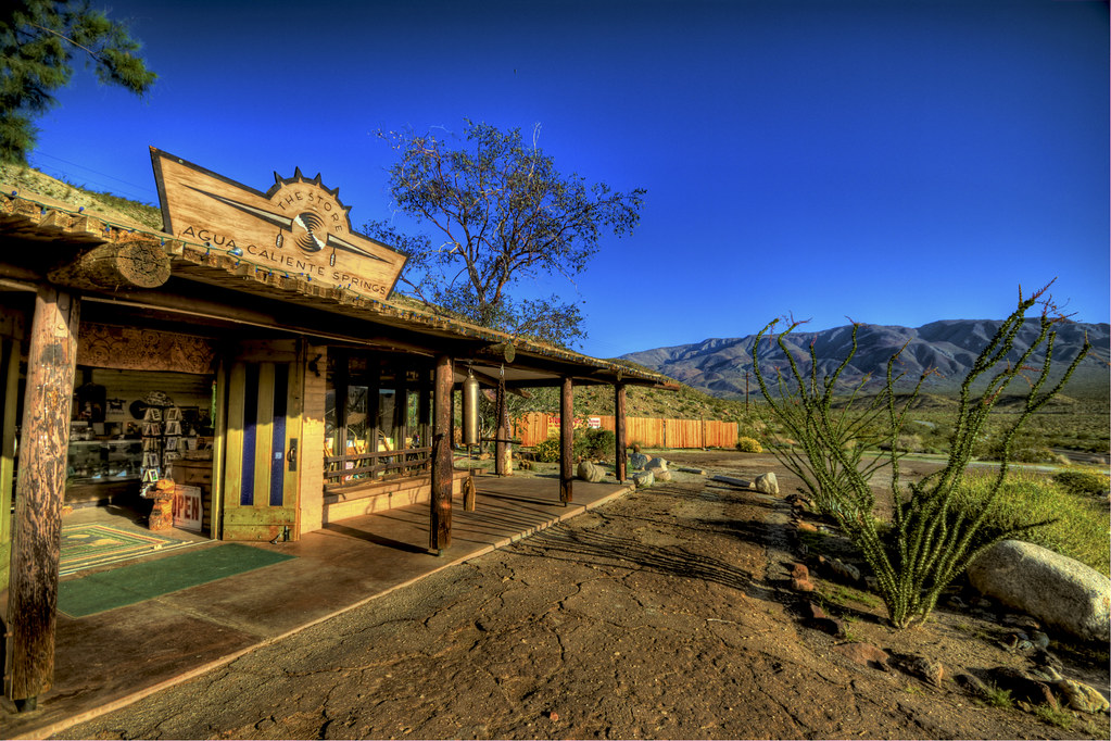
The Agua Caliente General Store
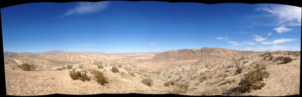
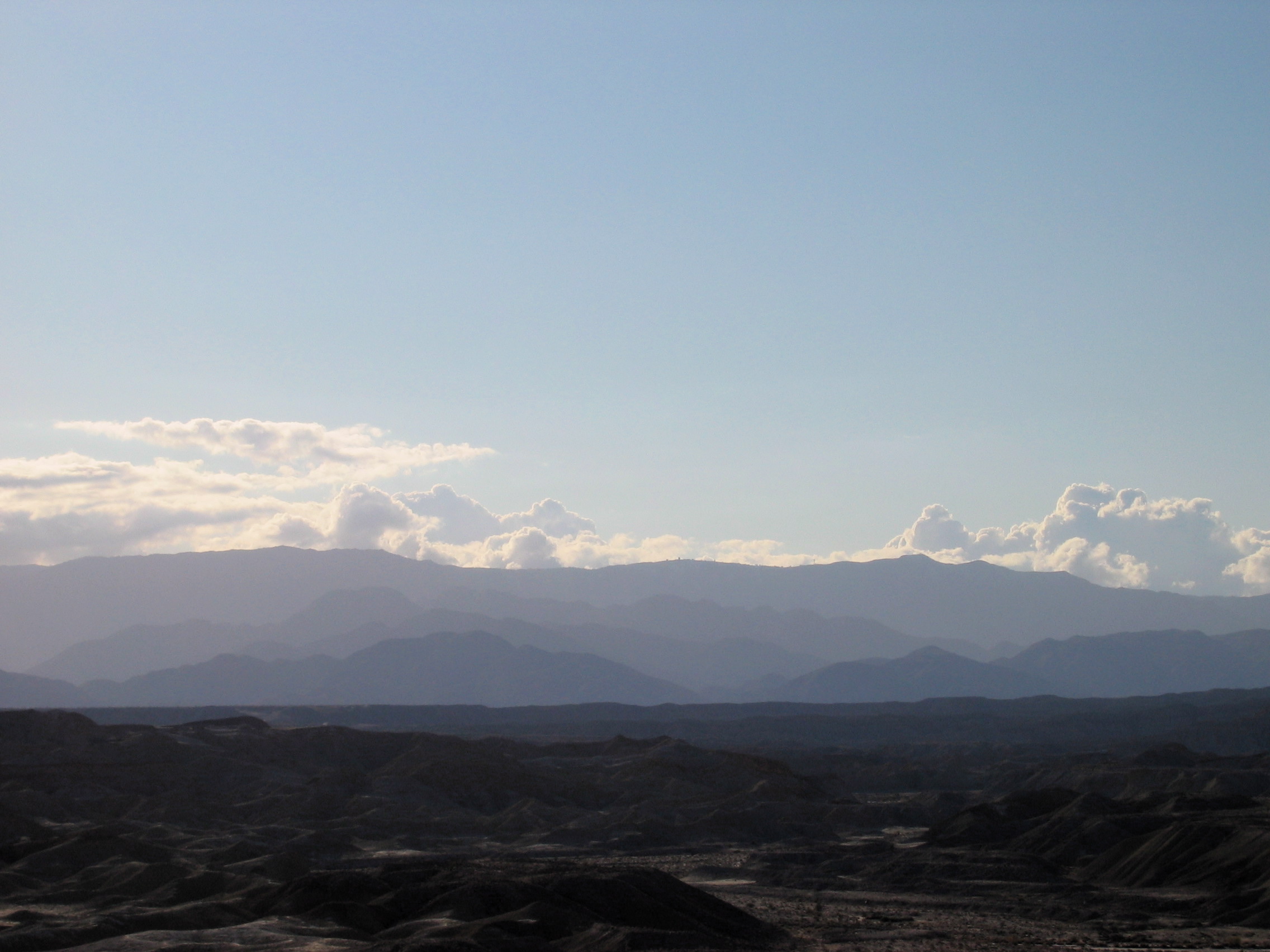
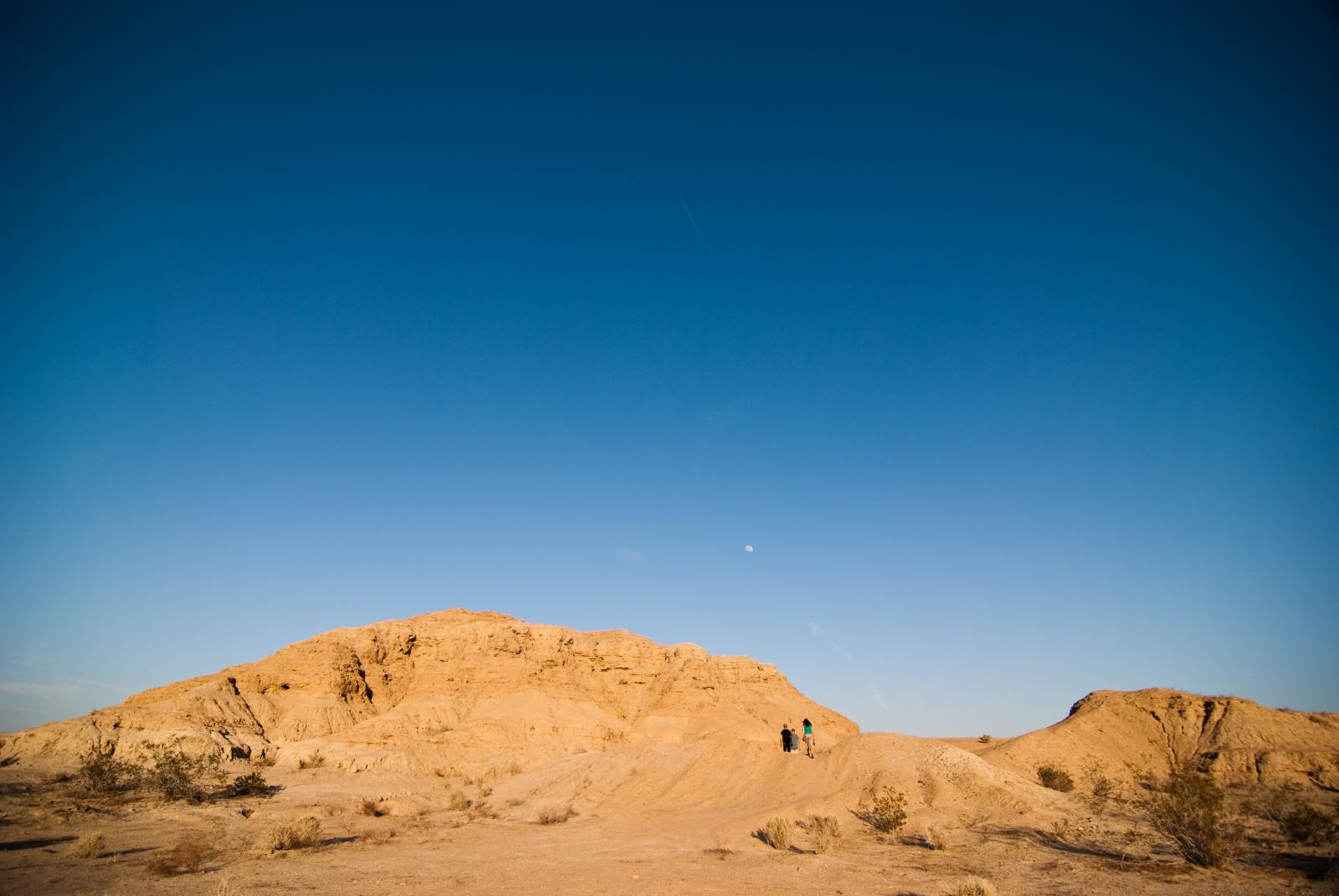
Anza-Borrego Desert State Park, View of Carrizo Valley
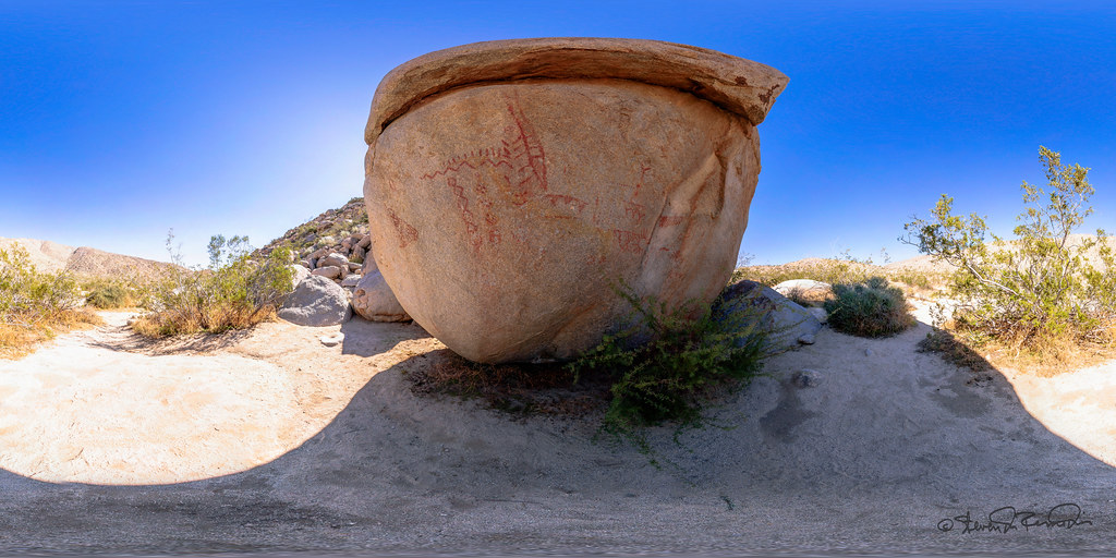
Pictograph - Anza Borrego Desert

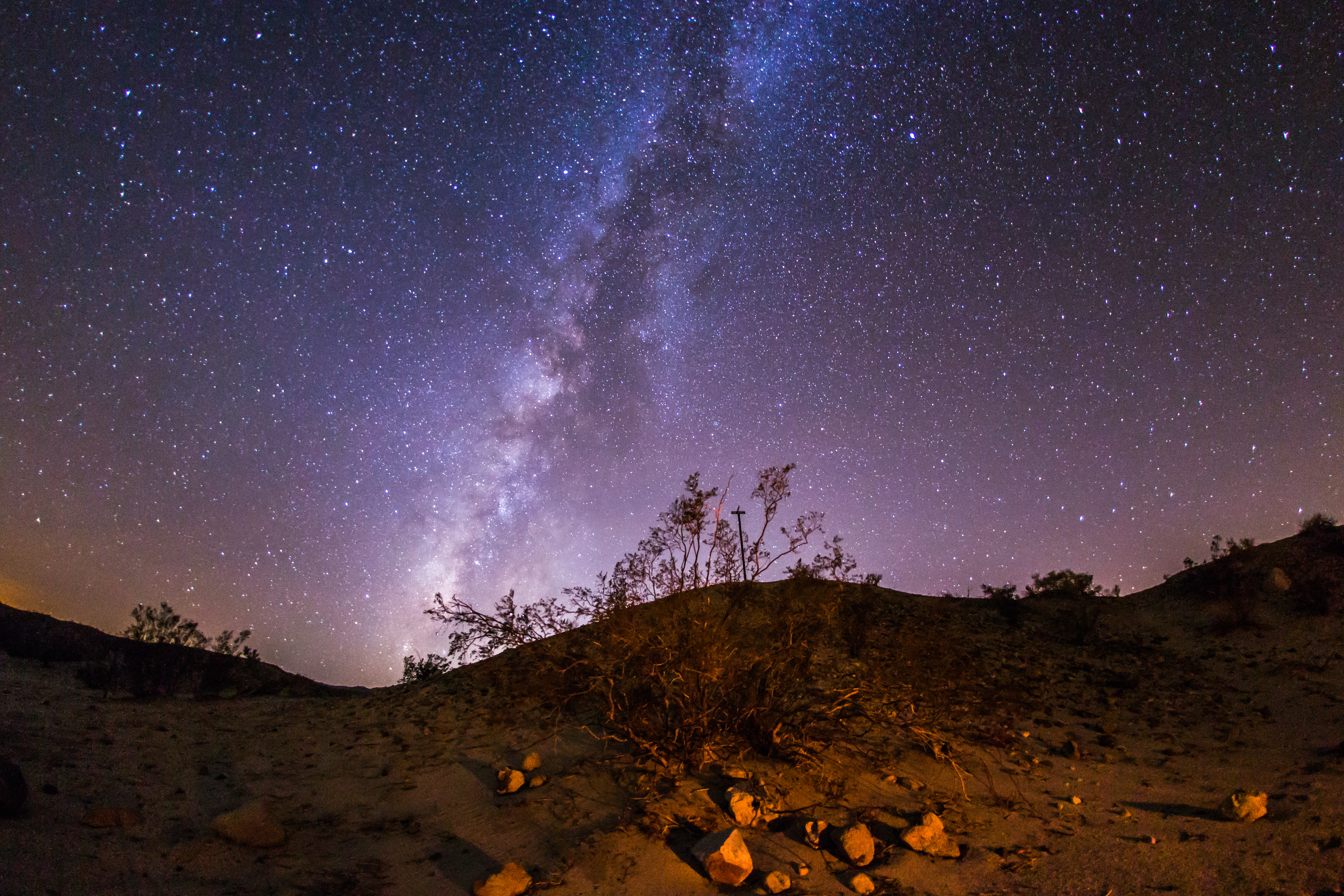
Milky Way and Other Stars - Time Lapse - Anza-Borrego Desert State Park - May 2, 2011

View from Southwest Grove.

Night Sky
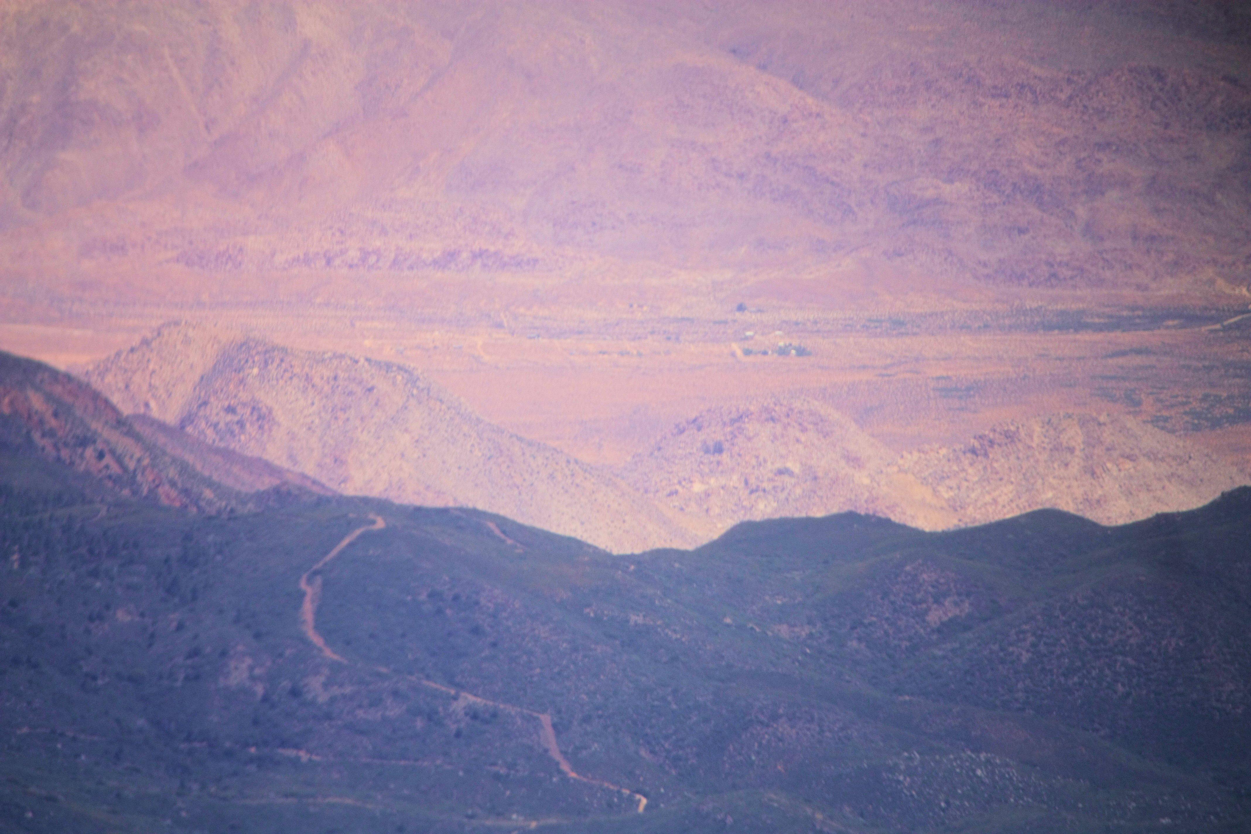
Hills west of San Diego

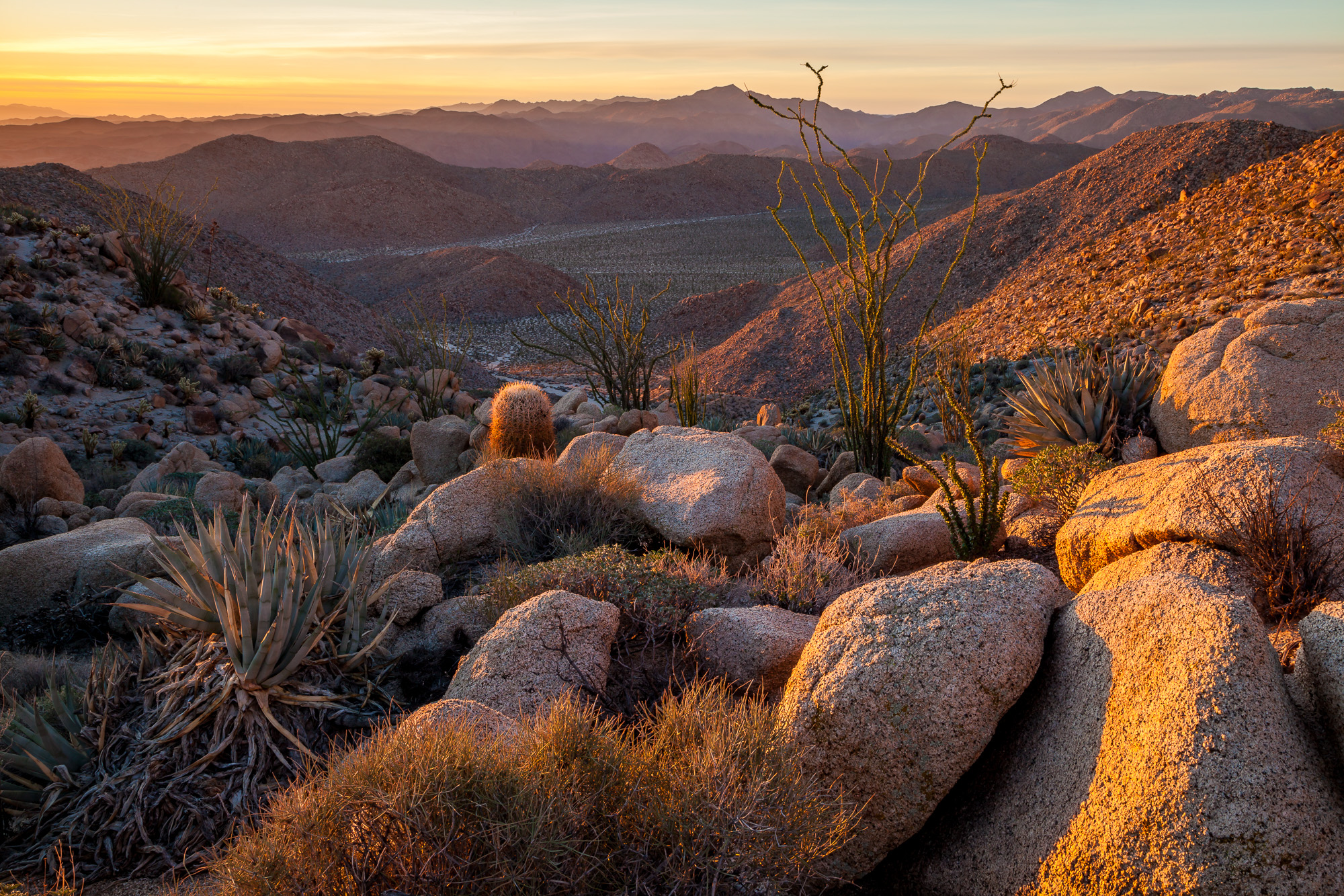
View from upper Torote Canyon saddle
canon view 2

Afternoon view..

Agua Caliente 2
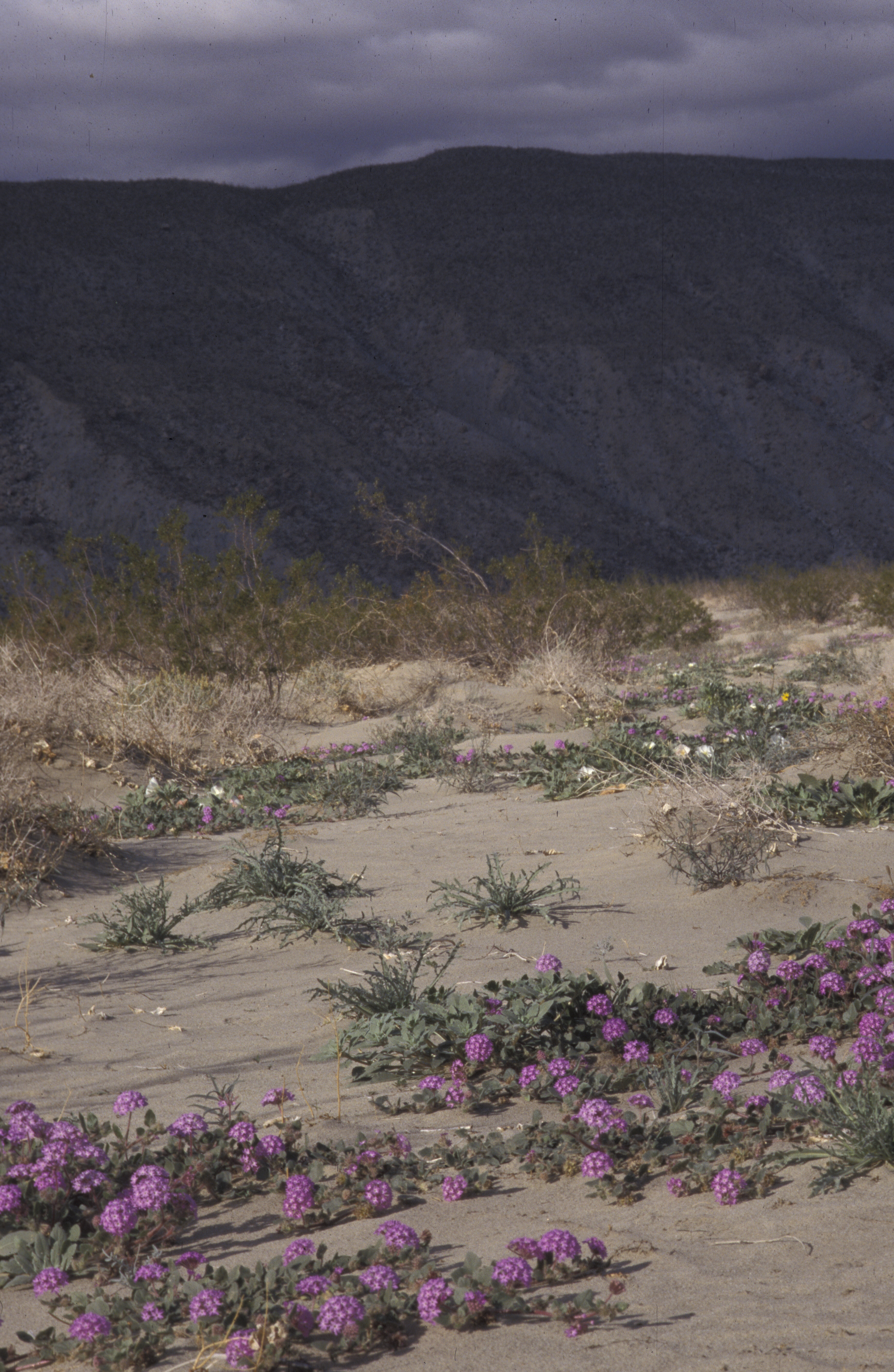
desert wildflowers, Anza Borego, CA 1998_01_02 001.jpg

View from Smuggler's Canyon, Anza-Borrego (Day 6)
View from wind caves, Fish Creek Wash, Anza-Borrego (Day 4)

Surprise Grove view..
Nice view near the upper entrance to the mud caves in the Anza-Borrego Desert.
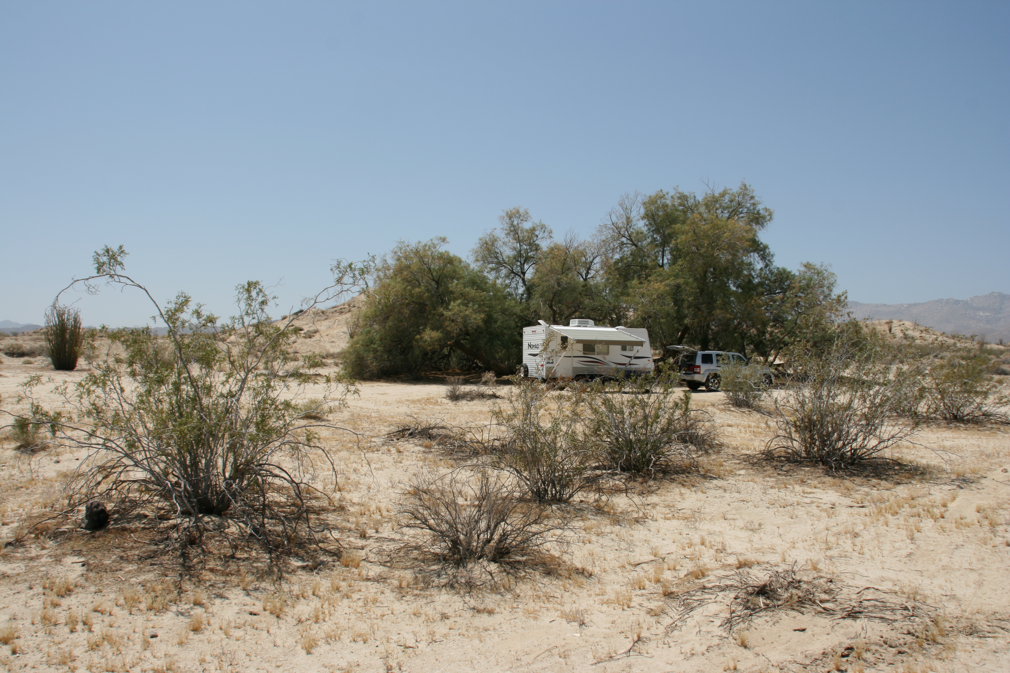
One more view of our campsite. Like the big tamarask tree / salt cedar?

Carrizo Mountain

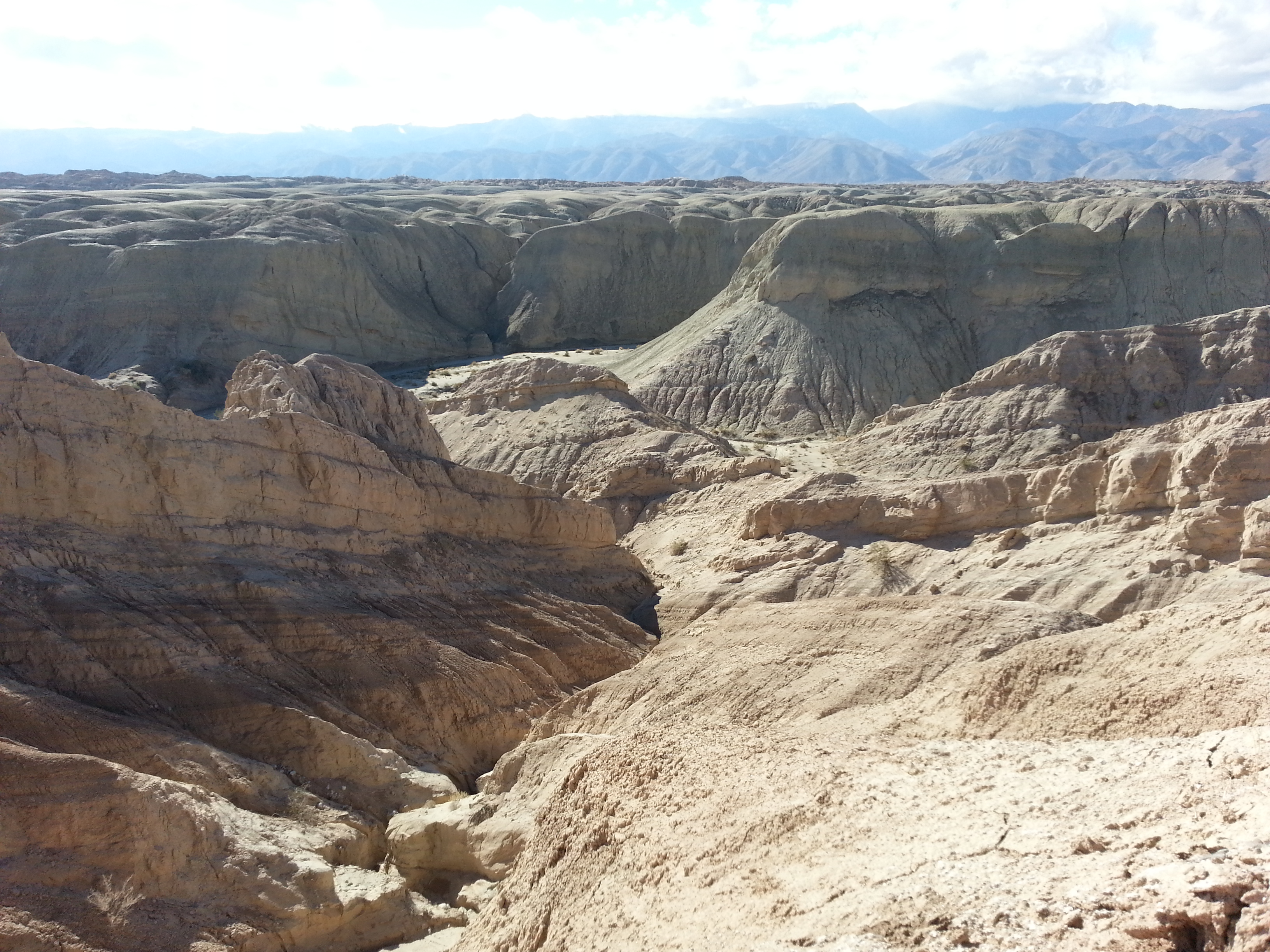
Carrizo Badlands

Sunset in Anza-Borrego Desert Park. #camping #anzaborrego
Sunrise Over Indian Valley

Carrizo Badlands
Campsite panorama at Hollywood & Vine in Anza-Borrego Desert State Park
Ocotillo Sunset
Borrego Clouds
Mark's Final Hike

Vallecito sunrise
Night in the desert.
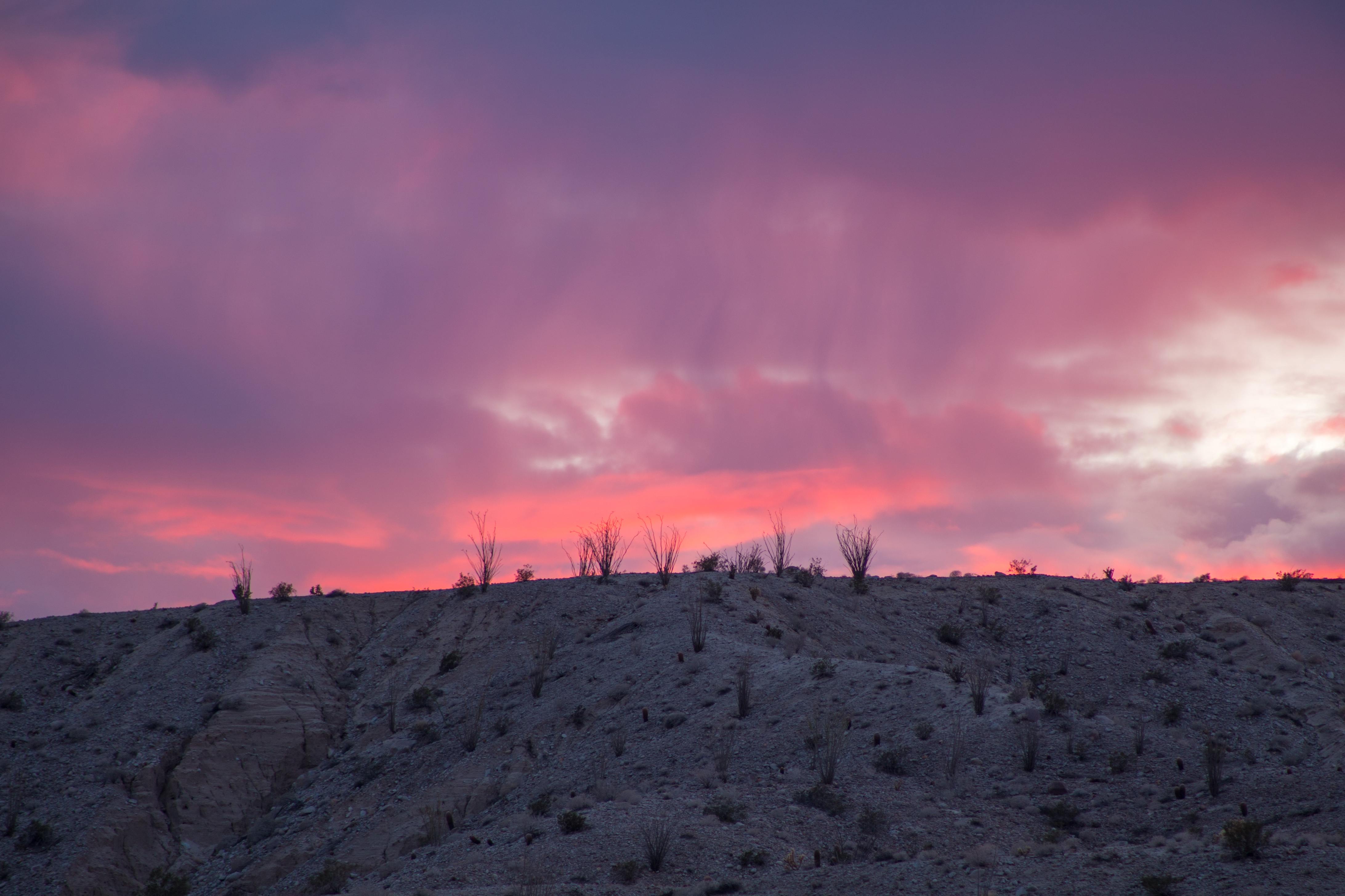
Twilight in Anza-Borrego Desert State Park.

male Kukulcania sp (F Filistatidae)
Yes I drove through that - amazing #offroading #camping #adventure #nature

first light on mormon tea
beneath the moon
Anticline Antics

At the top of Peak 3339 right now.
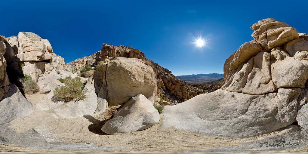
wind caves pano
Topographic Map of Canebrake Rd, Julian, CA, USA
Find elevation by address:

Places near Canebrake Rd, Julian, CA, USA:
475 Canyon Rd
495 Canyon Rd
Bow Willow Campground
Whale Peak
Wind Caves
Mount Laguna
Mccain Valley Road
Monument Peak
Mount Laguna
Monument Peak Road
Sunrise Highway
Laguna Campground
Laguna Mountains
Live Oak Springs
28855 Old Hwy 80
2653 Angel Dr
Sunrise Highway
38768 Angel Dr
Kwaaymii Point
35533 Stagecoach Springs Rd
Recent Searches:
- Elevation of Corso Fratelli Cairoli, 35, Macerata MC, Italy
- Elevation of Tallevast Rd, Sarasota, FL, USA
- Elevation of 4th St E, Sonoma, CA, USA
- Elevation of Black Hollow Rd, Pennsdale, PA, USA
- Elevation of Oakland Ave, Williamsport, PA, USA
- Elevation of Pedrógão Grande, Portugal
- Elevation of Klee Dr, Martinsburg, WV, USA
- Elevation of Via Roma, Pieranica CR, Italy
- Elevation of Tavkvetili Mountain, Georgia
- Elevation of Hartfords Bluff Cir, Mt Pleasant, SC, USA