Elevation of Stagecoach Springs Rd, Pine Valley, CA, USA
Location: United States > California > San Diego County > Pine Valley >
Longitude: -116.38296
Latitude: 32.706631
Elevation: -10000m / -32808feet
Barometric Pressure: 295KPa
Elevation Map:
Satellite Map:
Related Photos:
Gold Digger

Desert View Tower

sunset view from Sacatone Overlook

view upon waking

Light in the Window

Real forest
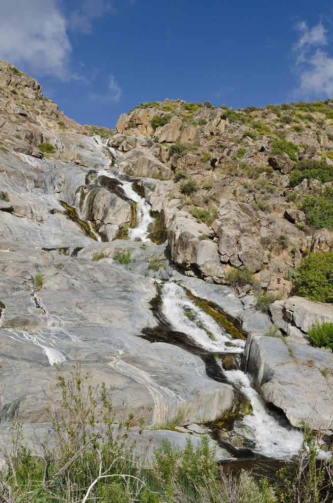
Kitchen Creek Falls

Open Car 0972

our morning view

Bug's view right before the end

151 Panorama view west down Hauser Canyon with Morena Butte on the right

Hike View

457 The PCT stays high along a ridge with great views as it nears Cottonwood Creek

439 Zoomed-in view looking north toward Los Pinos Mountain and Corte Madera Mountain from the PCT
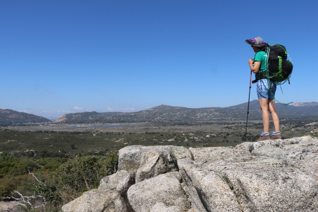
429 Vicki taking in the view from the PCT looking over Lake Morena

283 Zoomed-in view looking north of Cottonwood Creek as it drains into Lake Morena

428 Zoomed-in view of the Lake Morena Dam

419 Panorama view east of the mountains toward In-ko-pah from the PCT near mile 22

235 Our first view of Lake Morena, with Cuyamaca and Long Valley Peaks in the distance

284 Panorama view looking north toward the Laguna Mountains across the Morena Valley from the PCT

482 Panorama view as we descend toward Cottonwood Creek on the PCT

Riveting Rust

Milky Over San Diego

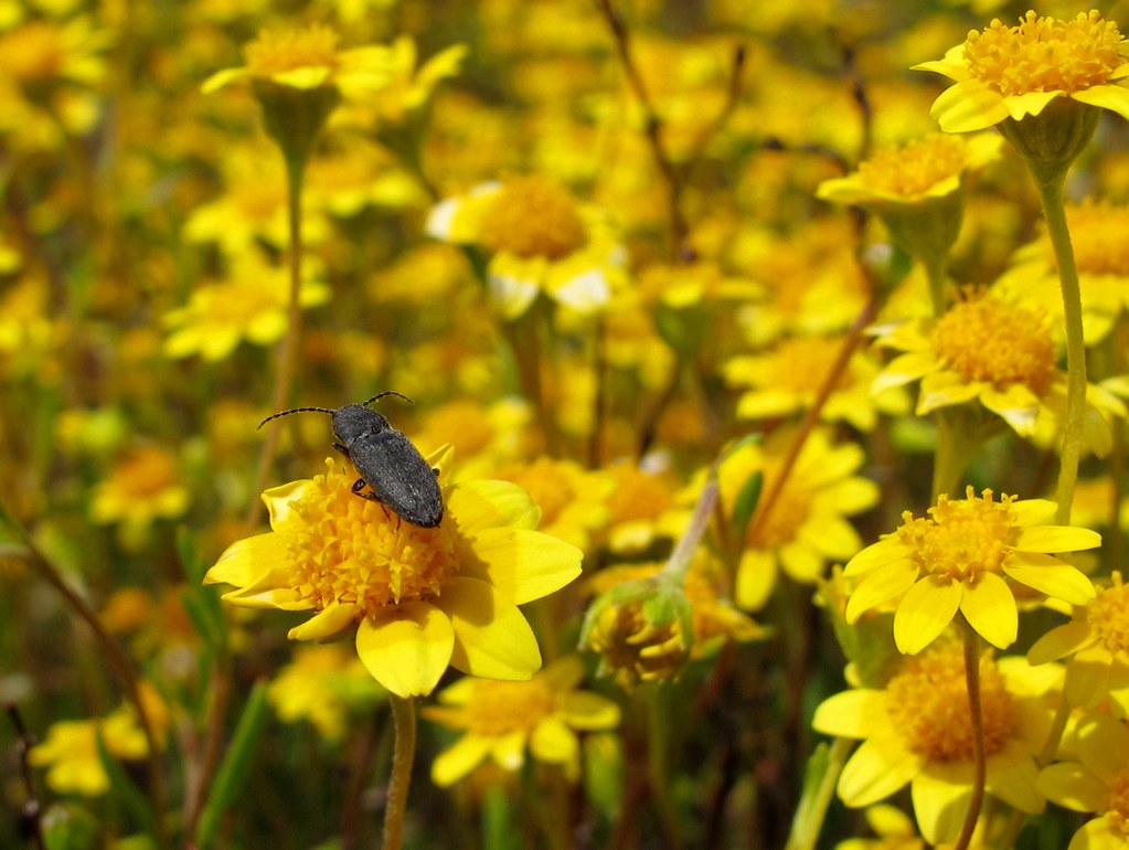
Yellow Flowers

M51 - Whirlpool Galaxy

Nearly Mexico

Tonight's sunset seen from Mount Laguna, California

My Baby

Pacific Crest Trail at Kitchen Creek: Matthew, Alex & Karina

Sky Lights

Scope Dreams

Waiting for the Night

Pct day 2

U.S. Highway 80

Campo Truck Museum

At the top

Watcher in Field of Yellow Flowers

San Diego Backcountry Sunrise
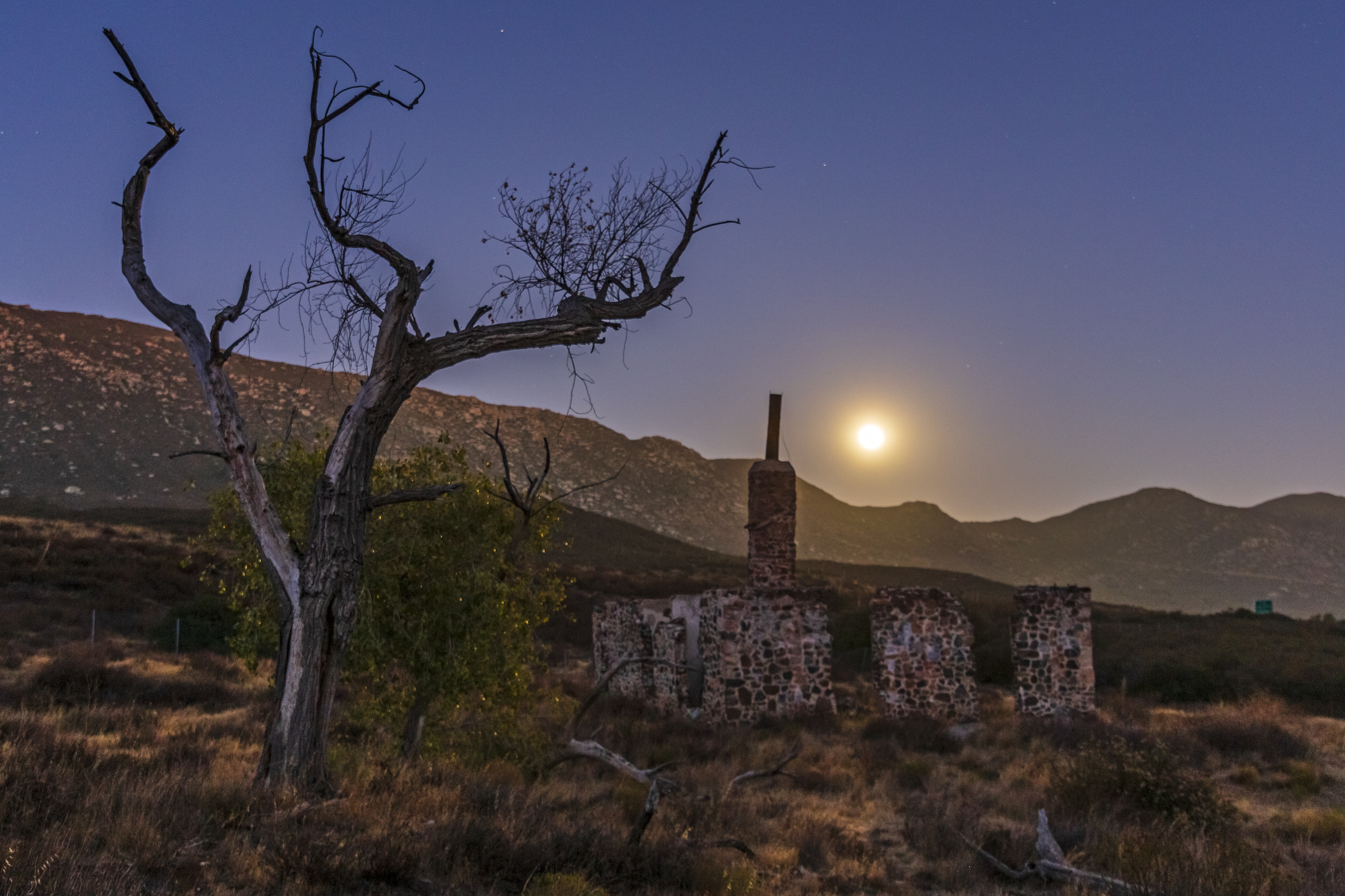
Ruins of the Buckman homestead along Old Highway 80 under a full moon

Pacific Crest Trail, 2018

Leather Spineflower (Lastarriaea coriacea), Campo, CA, 4-21-18 D
Topographic Map of Stagecoach Springs Rd, Pine Valley, CA, USA
Find elevation by address:

Places near Stagecoach Springs Rd, Pine Valley, CA, USA:
Boulder Oaks
Buckman Springs Rest Area
Laguna Mountains
Mount Laguna
Pine Valley
8010 Lilac Ln
Lone Pine Trail
28677 Lebanon Rd
28709 Deer Creek Trail
Old Hwy 80, Pine Valley, CA, USA
Guatay
Descanso
22237 Japatul Valley Rd
6476 Japatul Highlands Rd
Big Cat Trail
3715 Carveacre Rd
25 Browns Rd
1300 Lynn Oak Dr
5000 Willows Rd
Viejas Casino & Resort
Recent Searches:
- Elevation of Corso Fratelli Cairoli, 35, Macerata MC, Italy
- Elevation of Tallevast Rd, Sarasota, FL, USA
- Elevation of 4th St E, Sonoma, CA, USA
- Elevation of Black Hollow Rd, Pennsdale, PA, USA
- Elevation of Oakland Ave, Williamsport, PA, USA
- Elevation of Pedrógão Grande, Portugal
- Elevation of Klee Dr, Martinsburg, WV, USA
- Elevation of Via Roma, Pieranica CR, Italy
- Elevation of Tavkvetili Mountain, Georgia
- Elevation of Hartfords Bluff Cir, Mt Pleasant, SC, USA