Elevation of Buckman Springs Rest Area, San Diego, CA, USA
Location: United States > California > San Diego County > Pine Valley >
Longitude: -116.48388
Latitude: 32.7580487
Elevation: 998m / 3274feet
Barometric Pressure: 90KPa
Elevation Map:
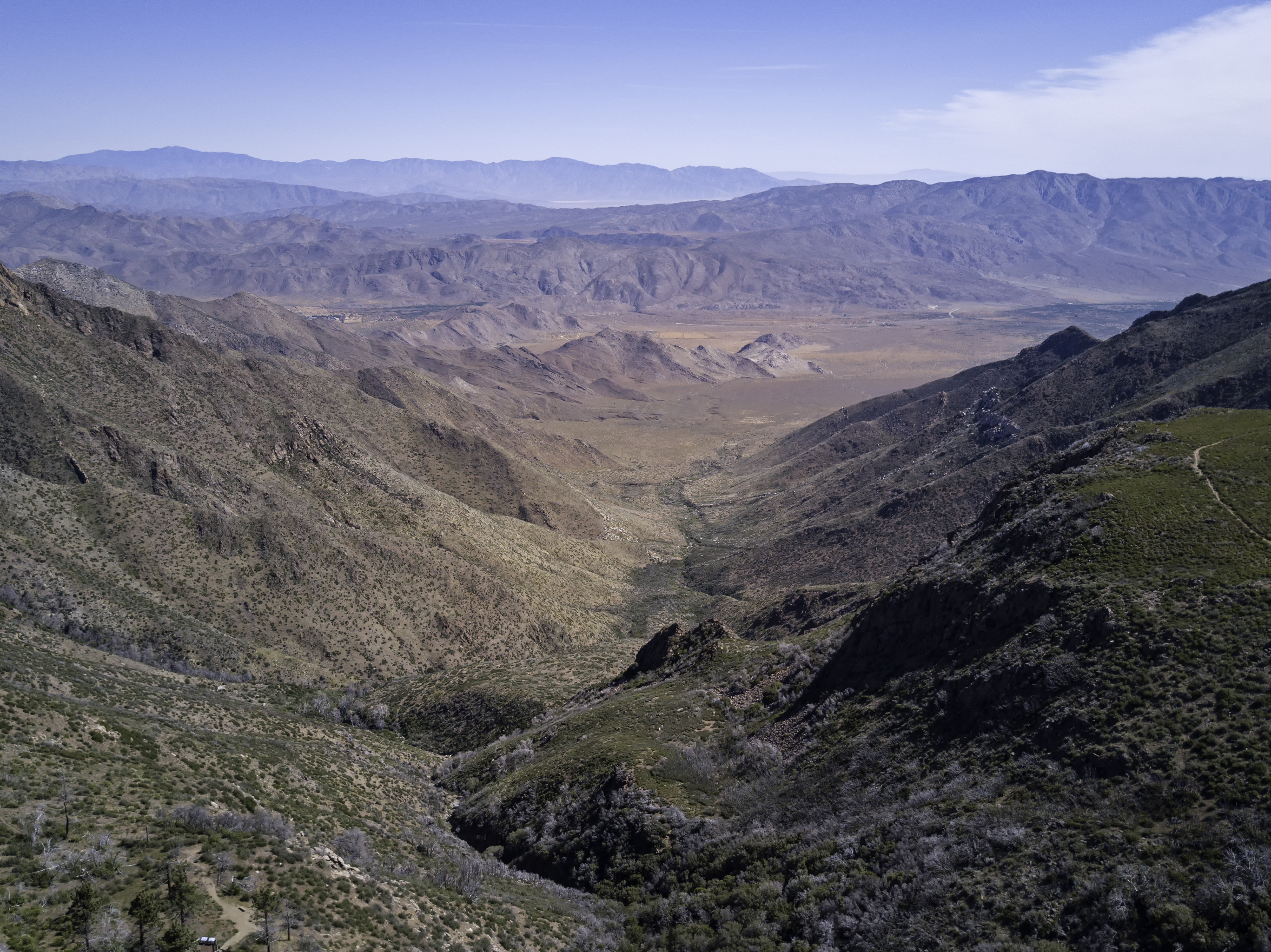
Satellite Map:
Related Photos:

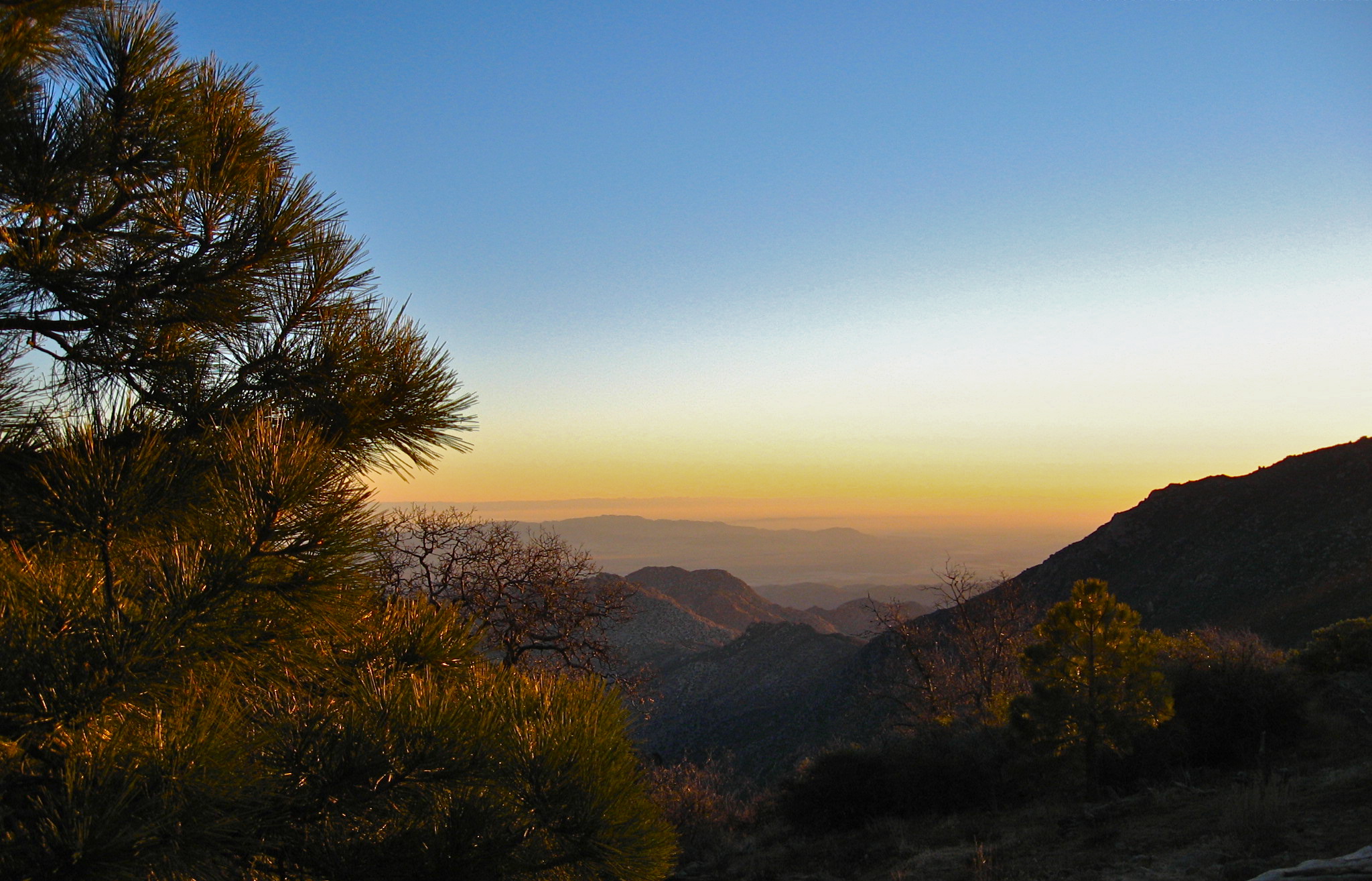
Golden Hour at the Gate
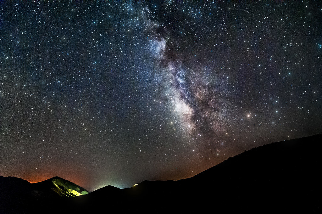
Mountain Top Milky Way

Desert View Tower

Desert Overlook
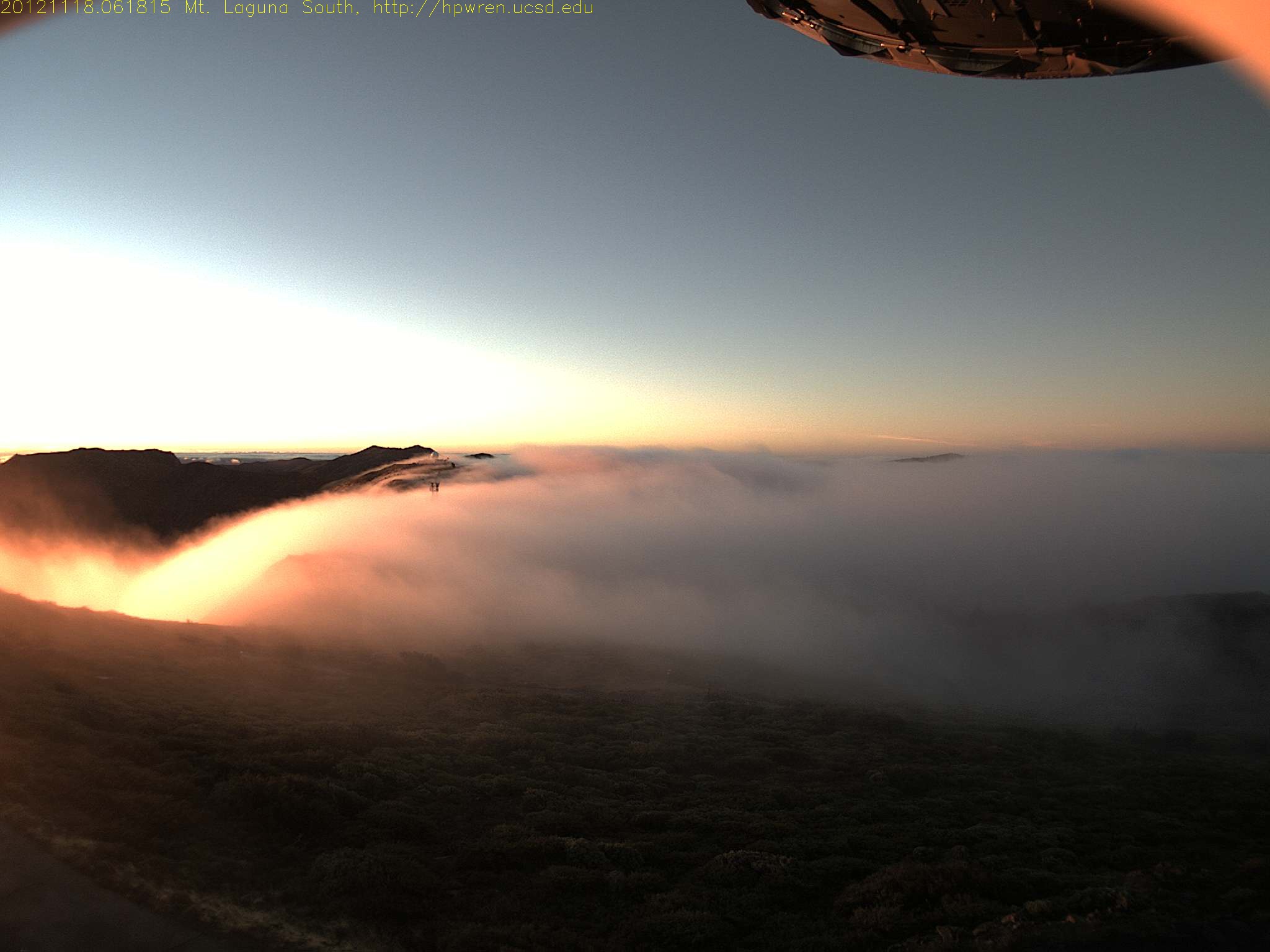
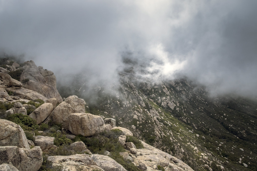
Early morning mist, sunrise at Mt Laguna
Roso's First Trail
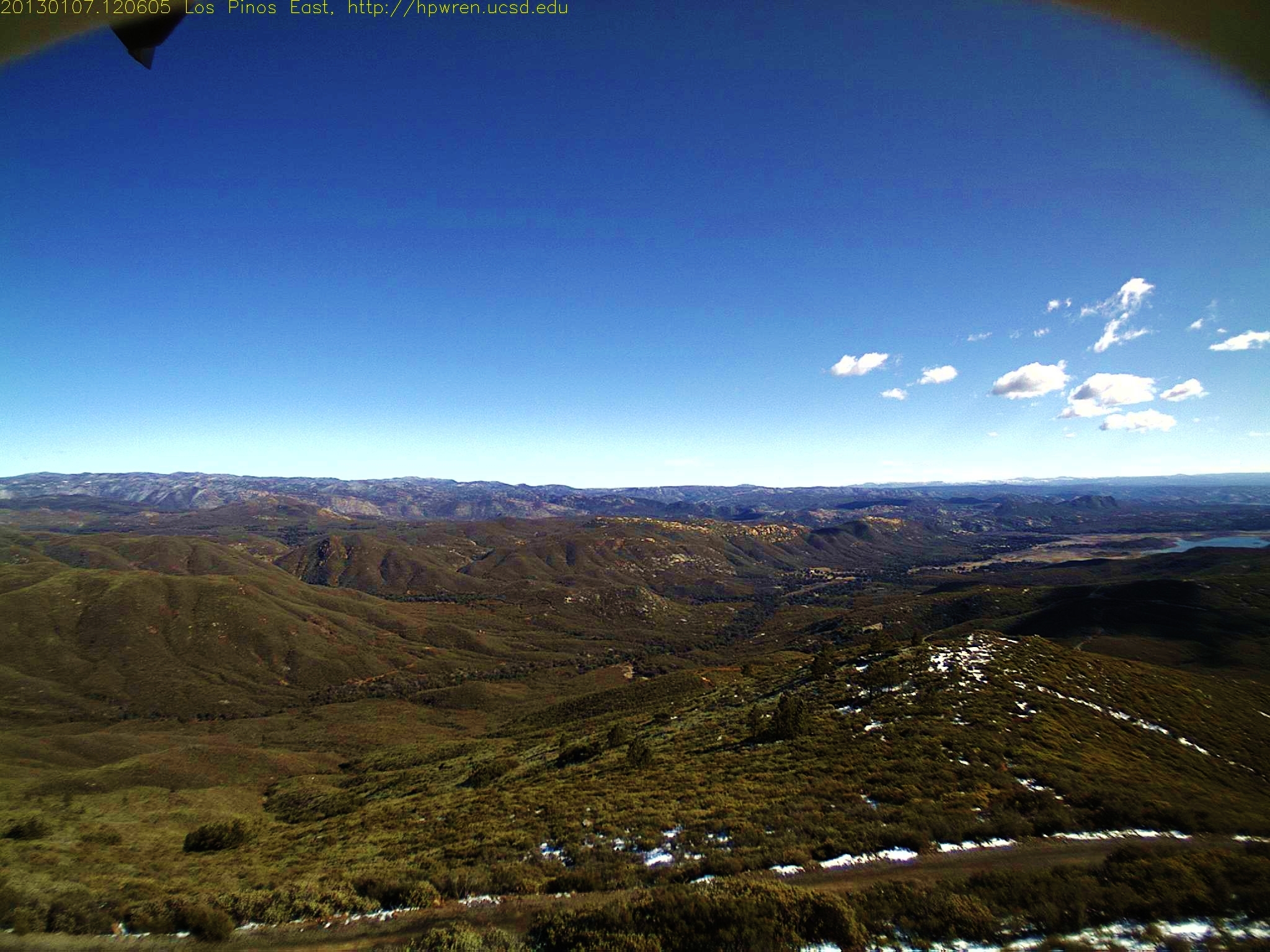
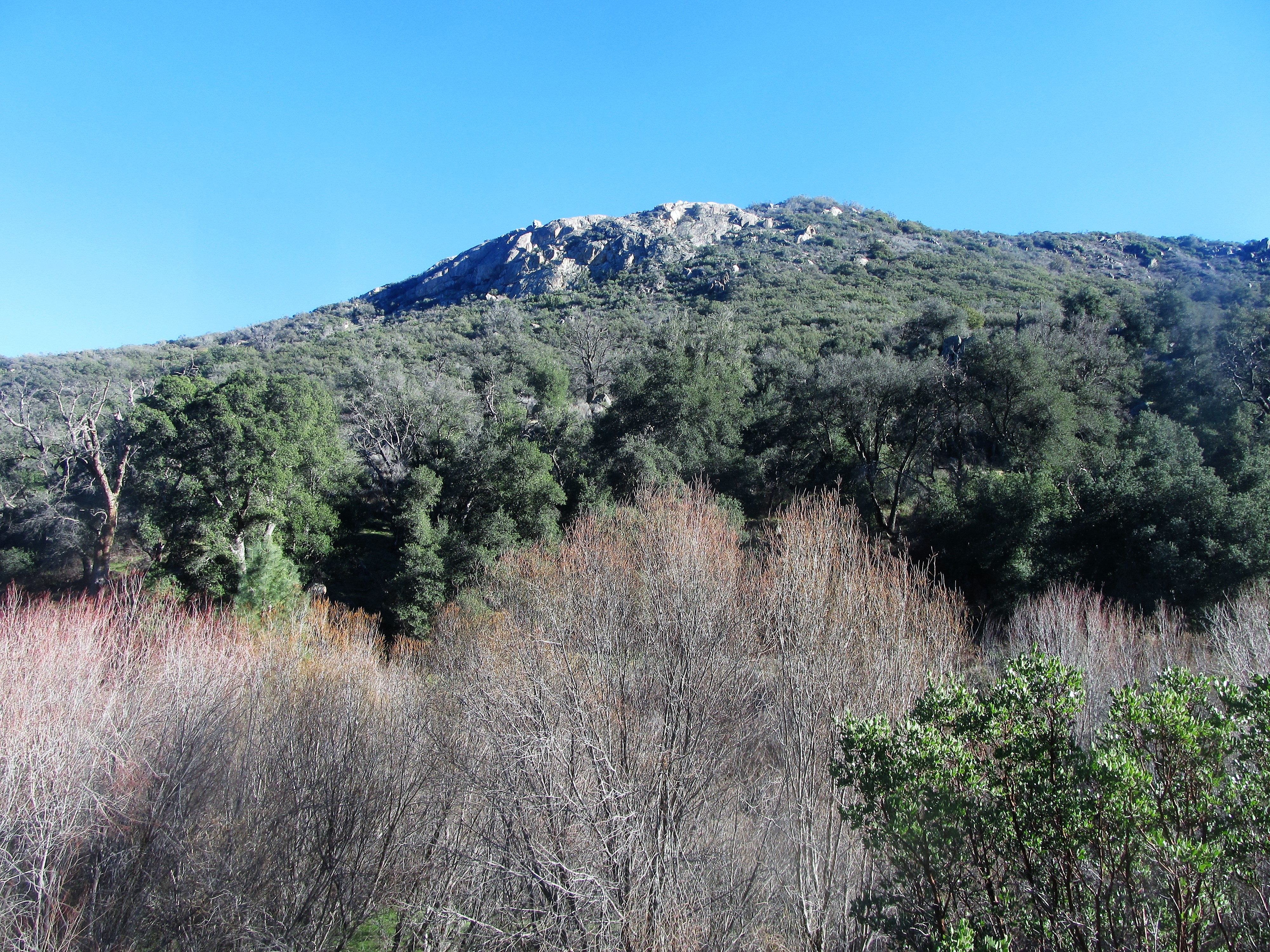
Los Pinos East view -- after
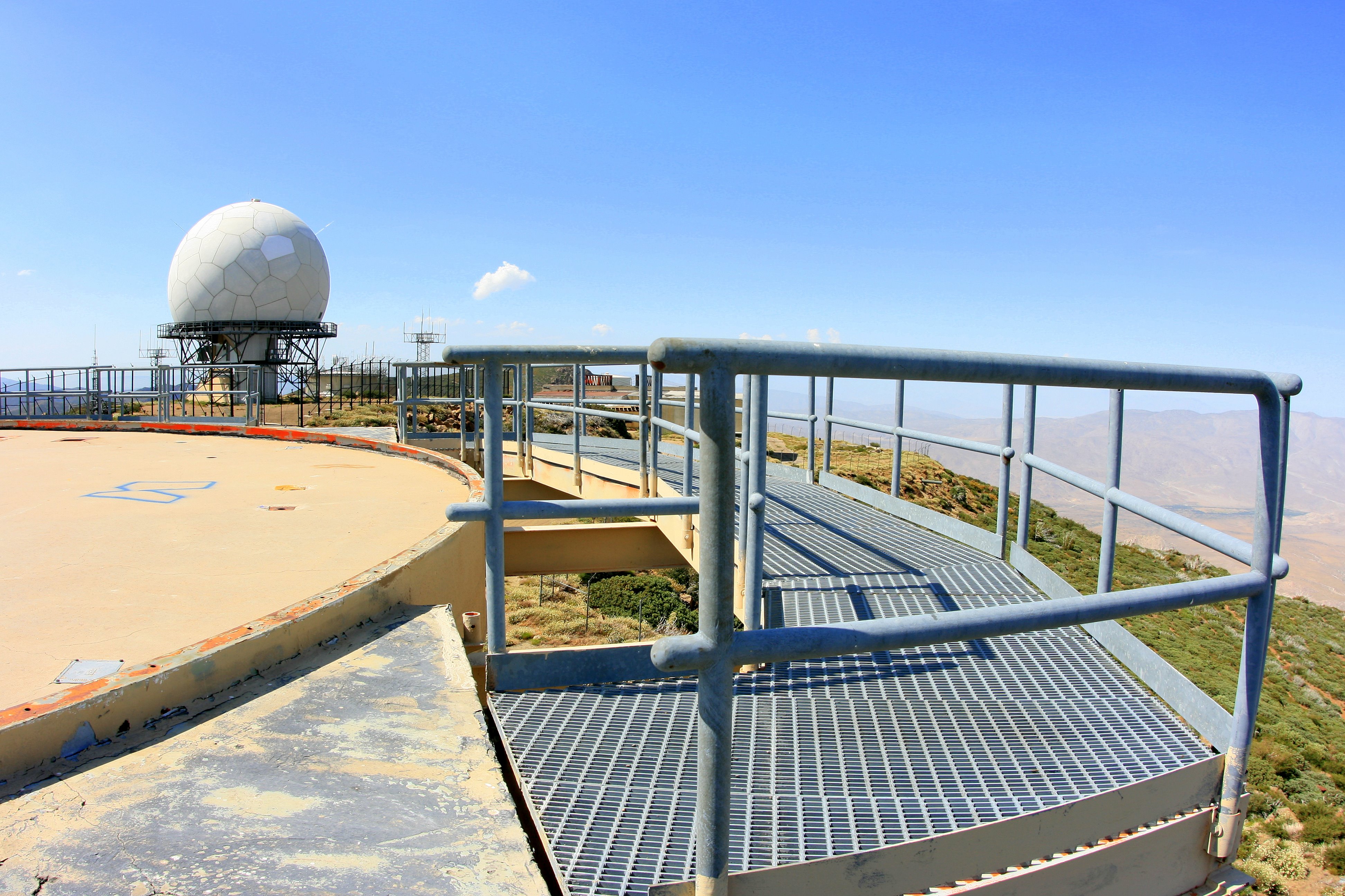
View from the catwalk of the abandoned Mount Laguna radar tower

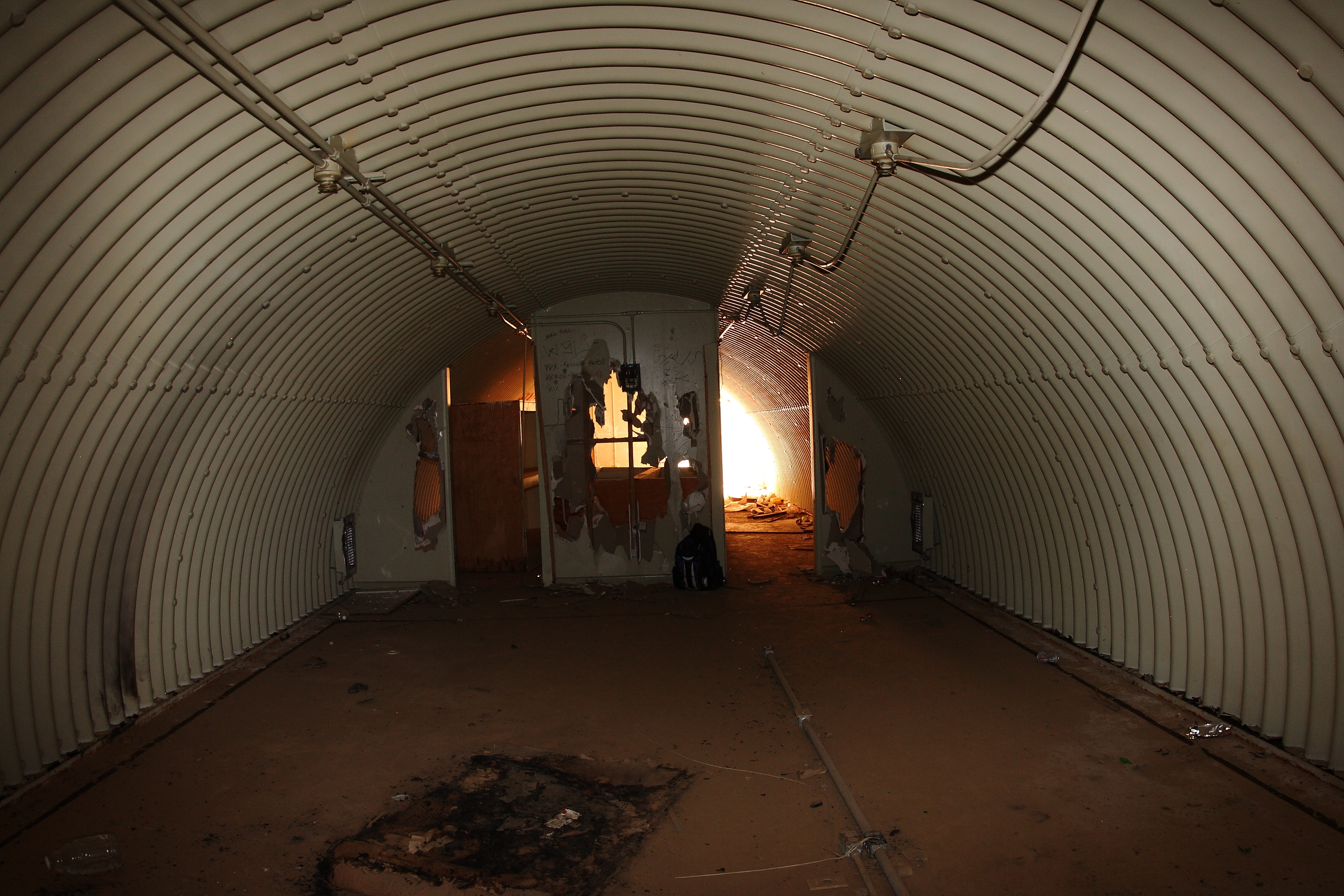
Looking through a broken window in the control room
Gold Digger
1/100 First day sunrise...
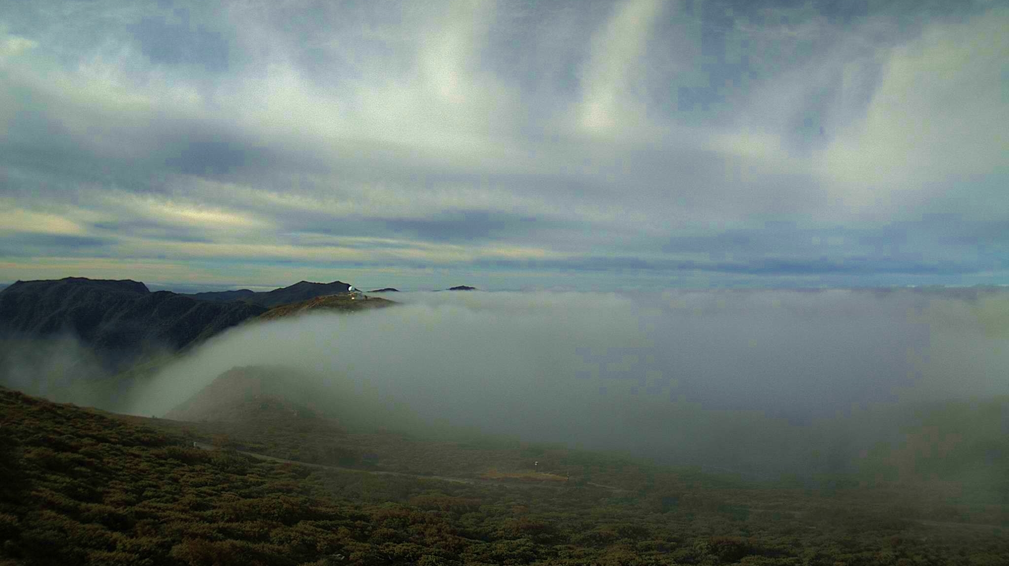
Waterfalls of clouds, Mount Laguna
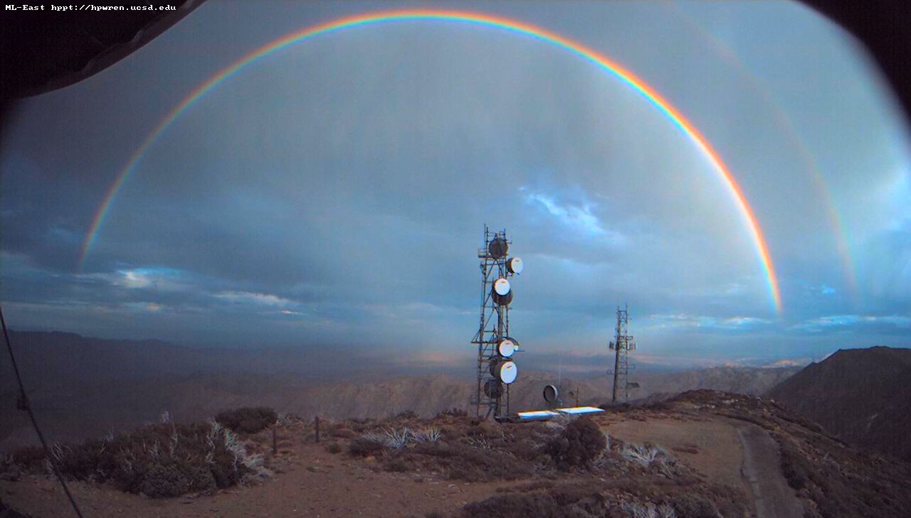
Double rainbow over the desert
Mt Laguna view: Desert sunrise 12~12~2012

Sunset on the Anza-Borrego
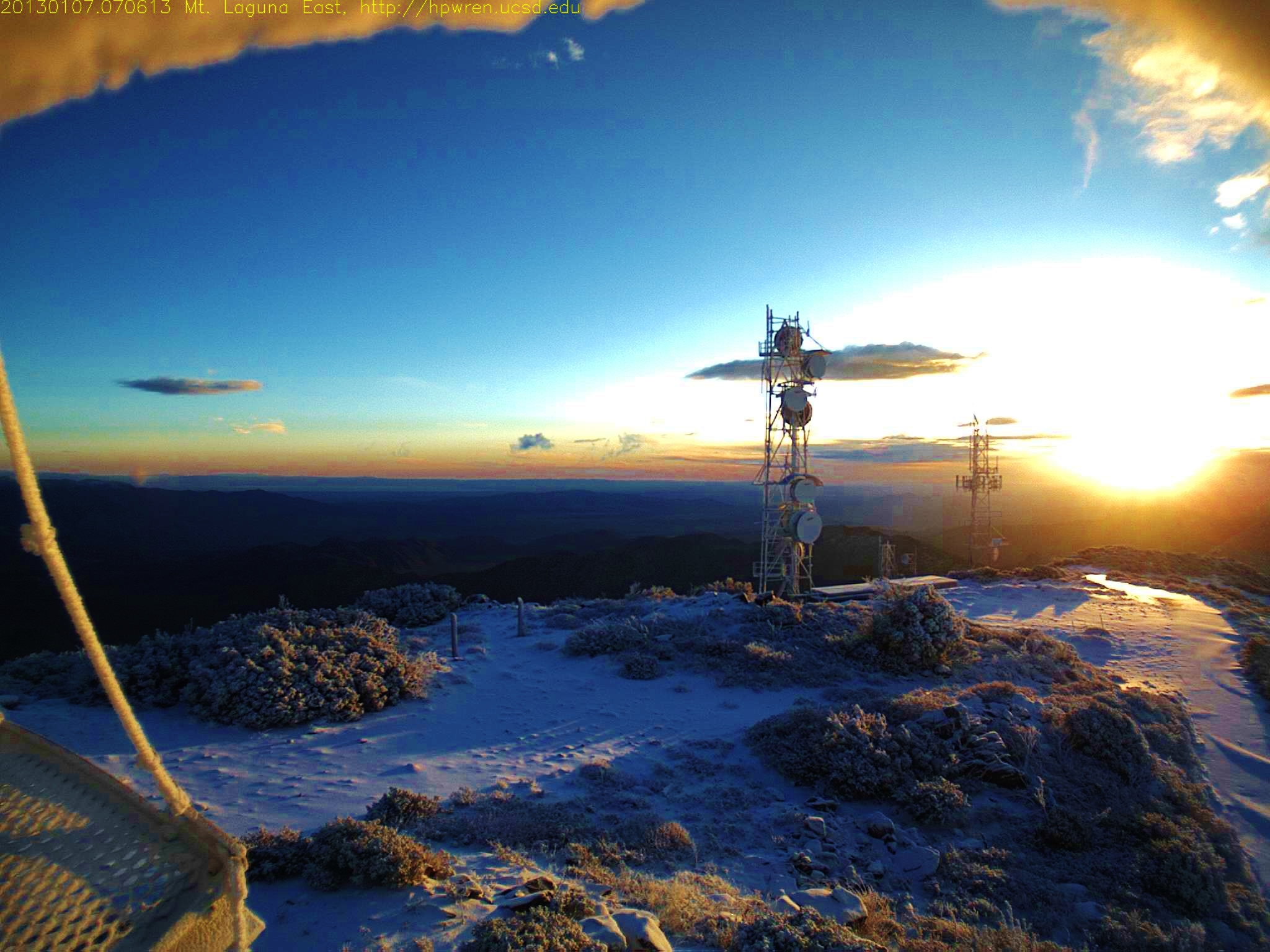
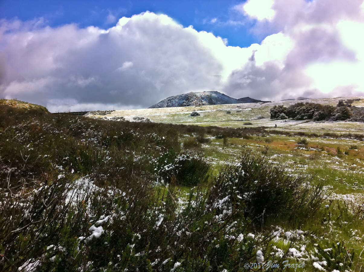
Mt Laguna east view at sunrise after overnight snow 1357571173.jpg 07-Jan-2013 0706 AM PST
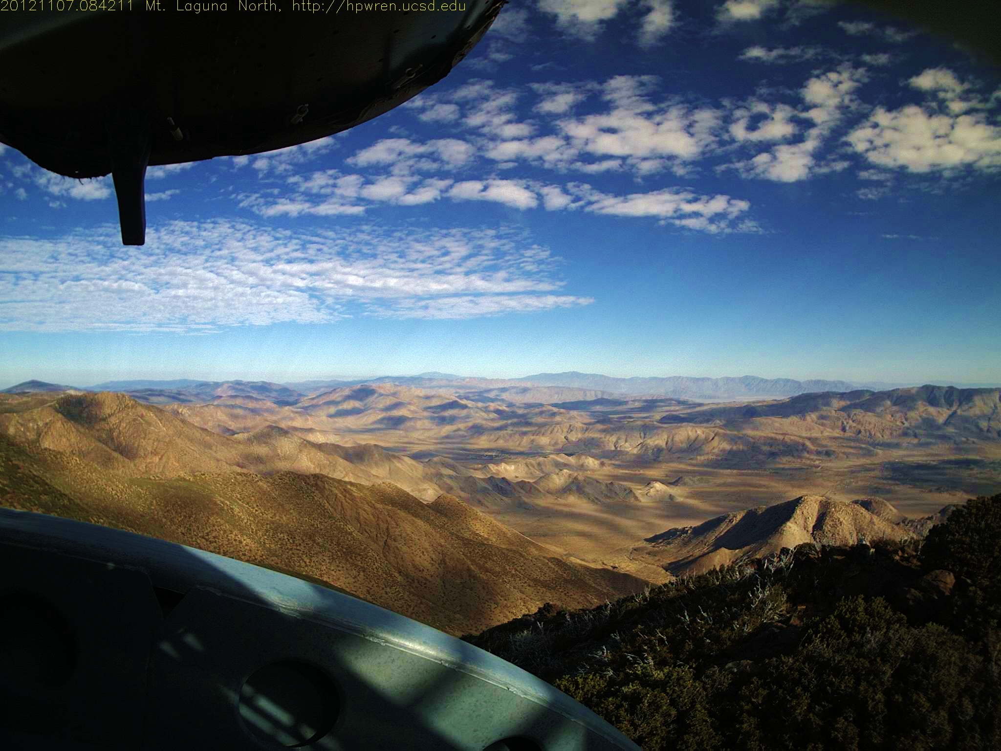
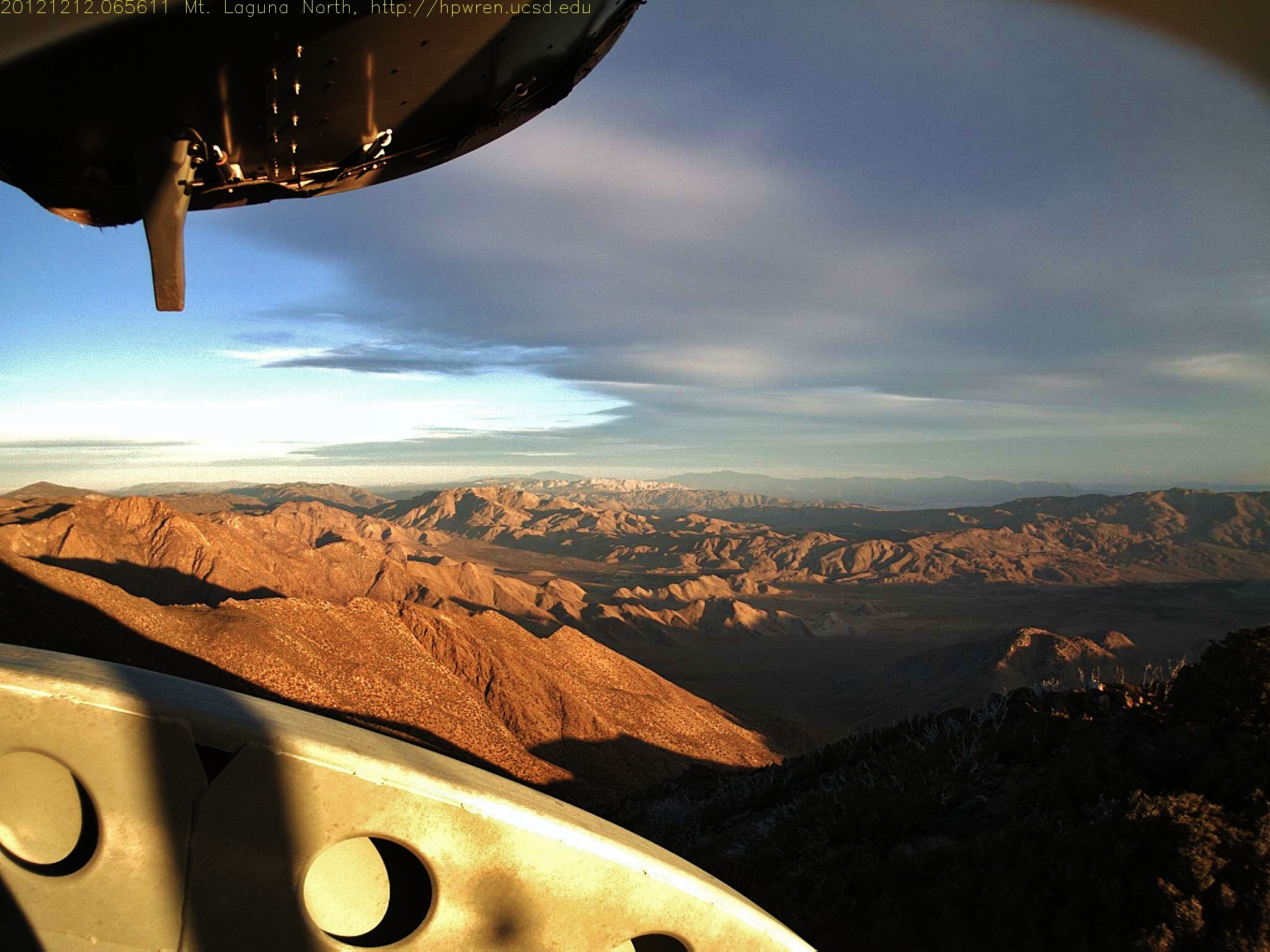
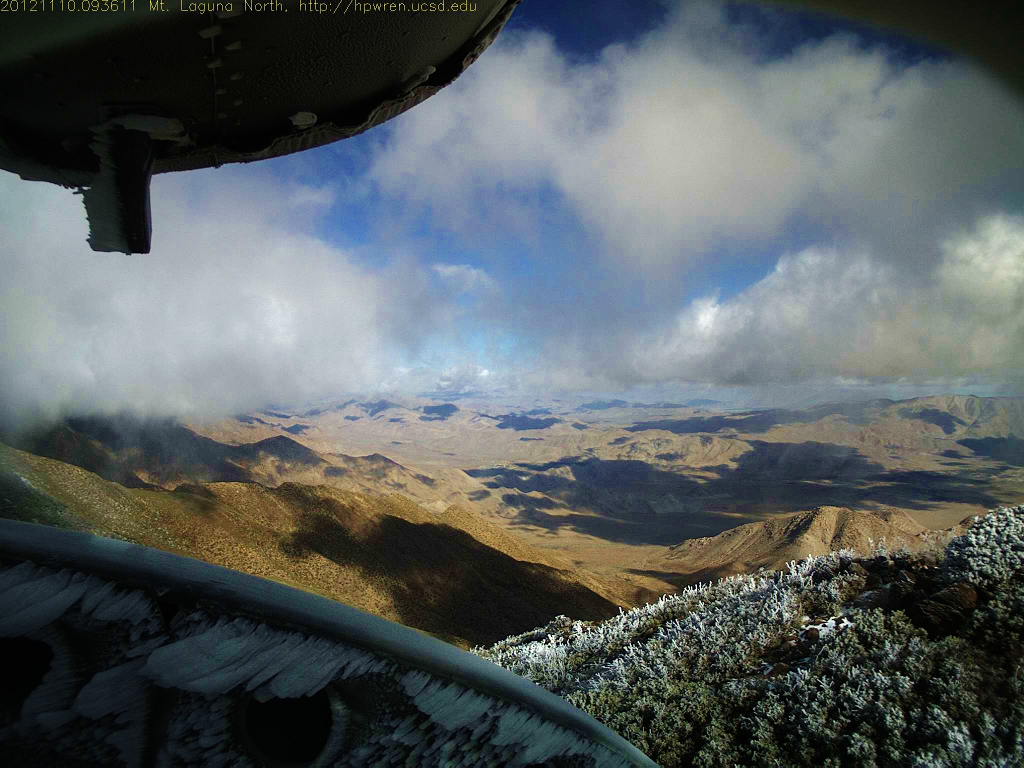
Mt Laguna North view 07-Nov-2012 08:42 AM PST
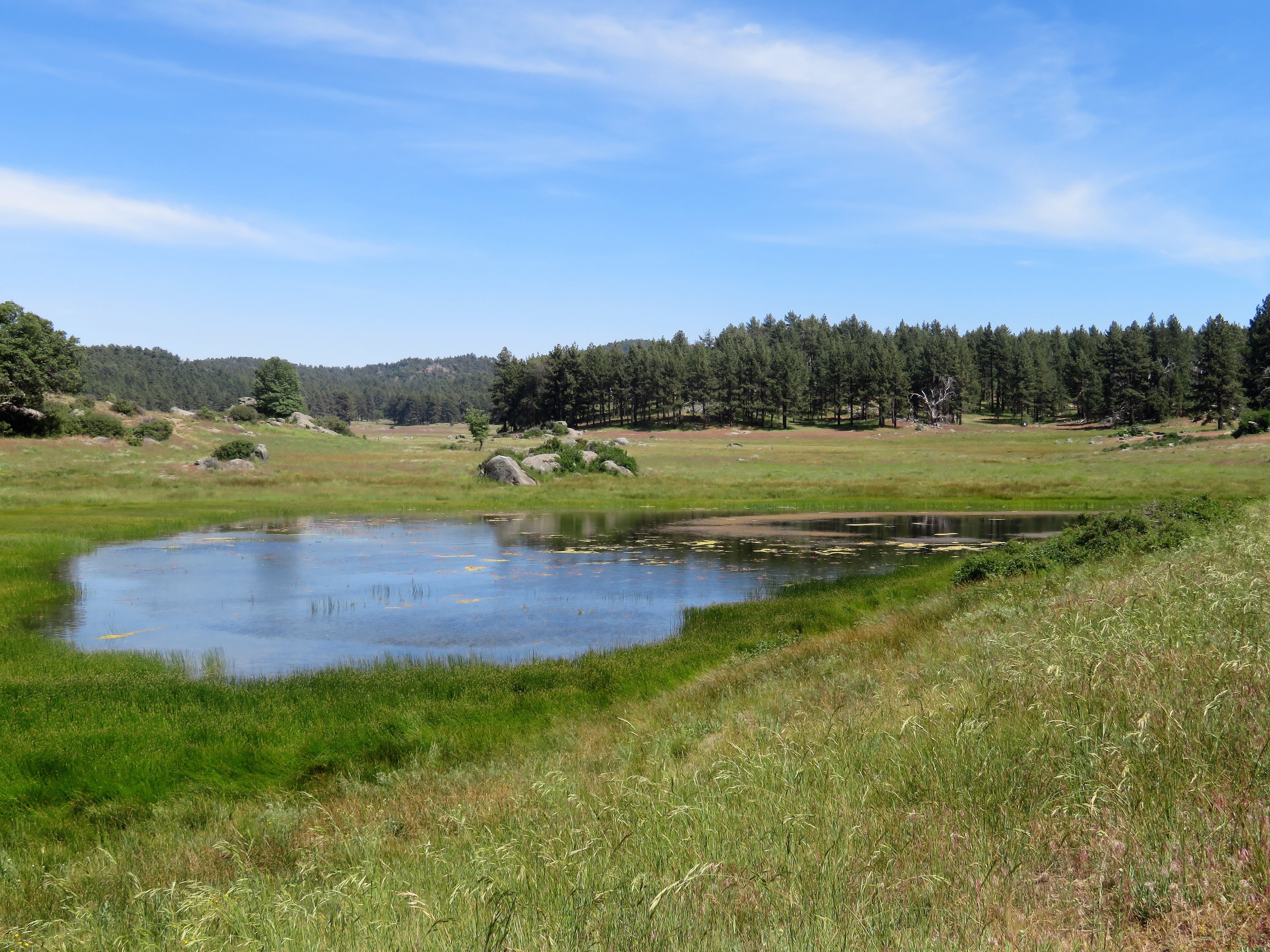
Water in the Woods

Tierra Blanca Mtns & Salton Sea.
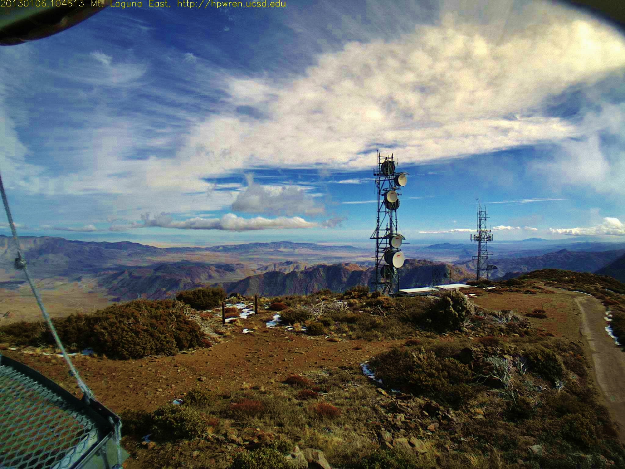
Mt Laguna east view 1357497973.jpg 06-Jan-2013 1046 AM PDT
Mother do you think they'll drop the bomb?
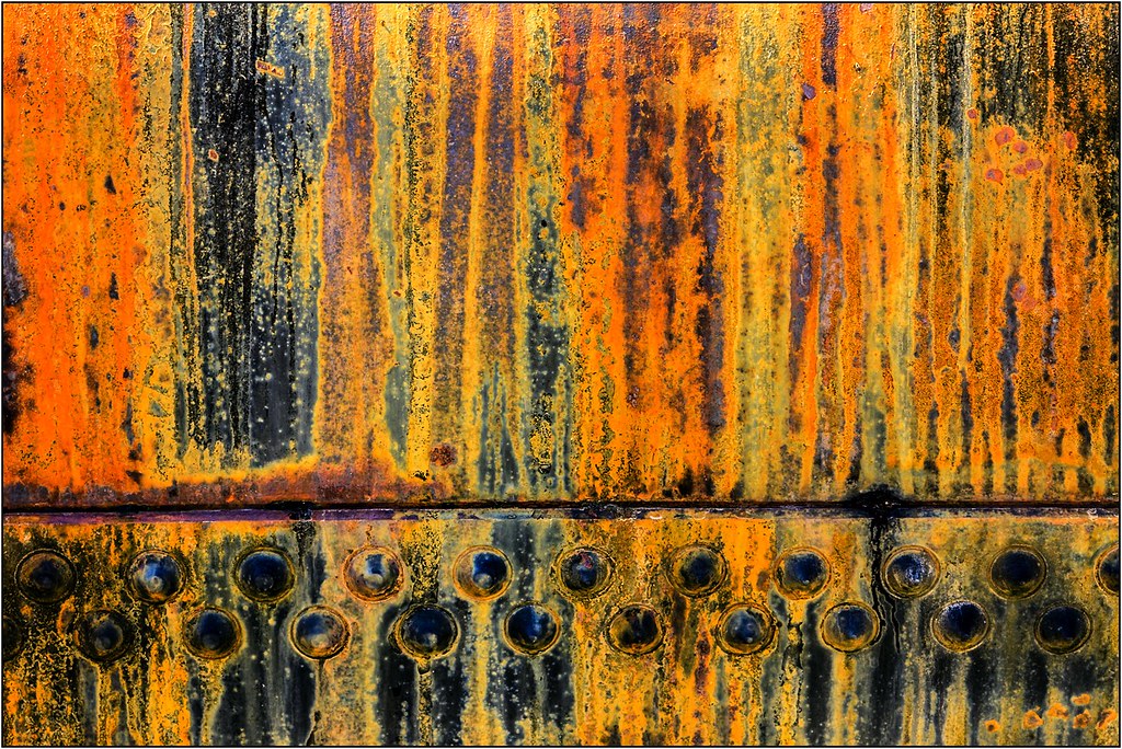
Riveting Rust
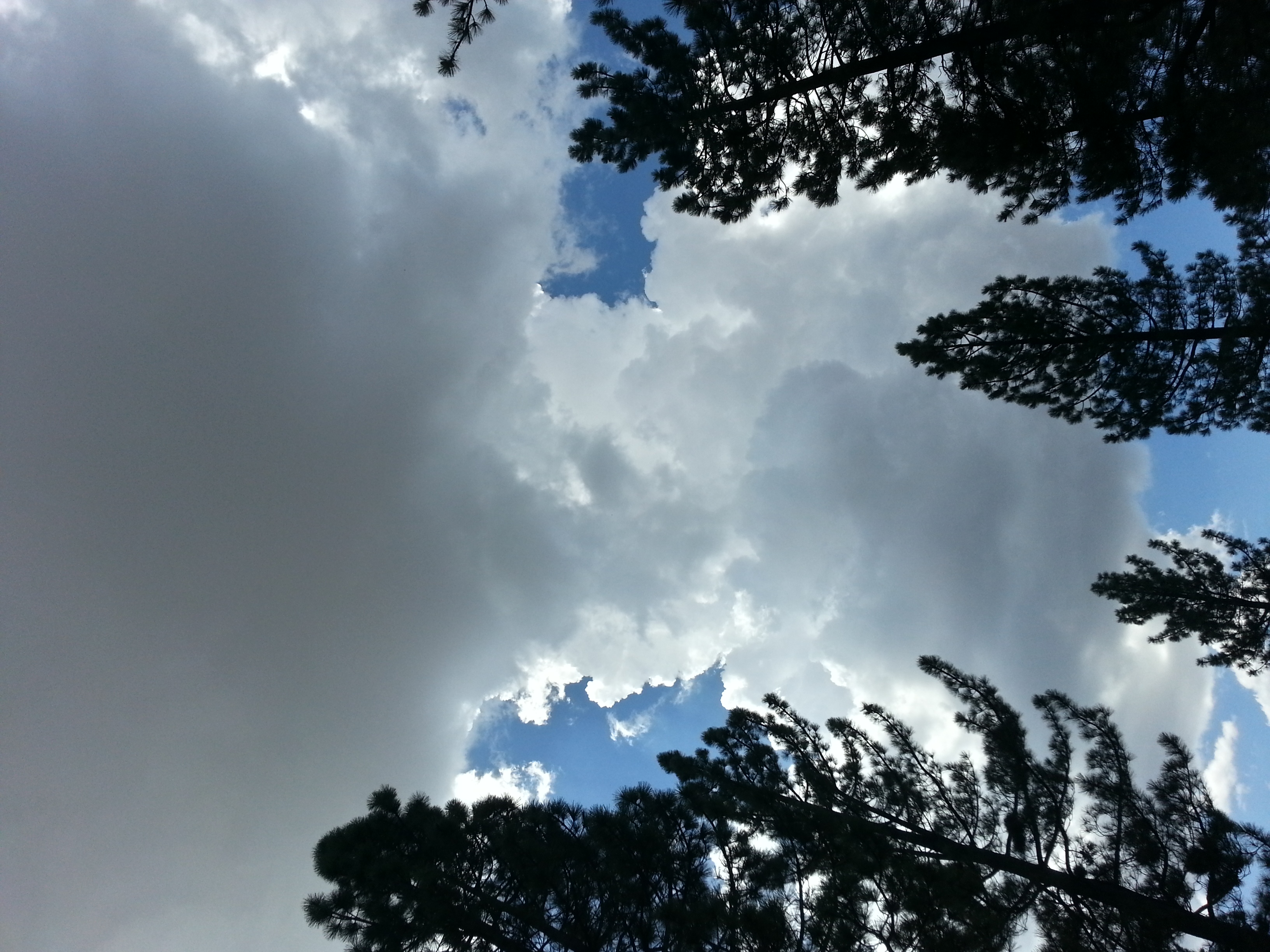
Storm Clouds Blowing in
#mtlaguna #sunrisehwy #PacificCrestTrail #california #iphone
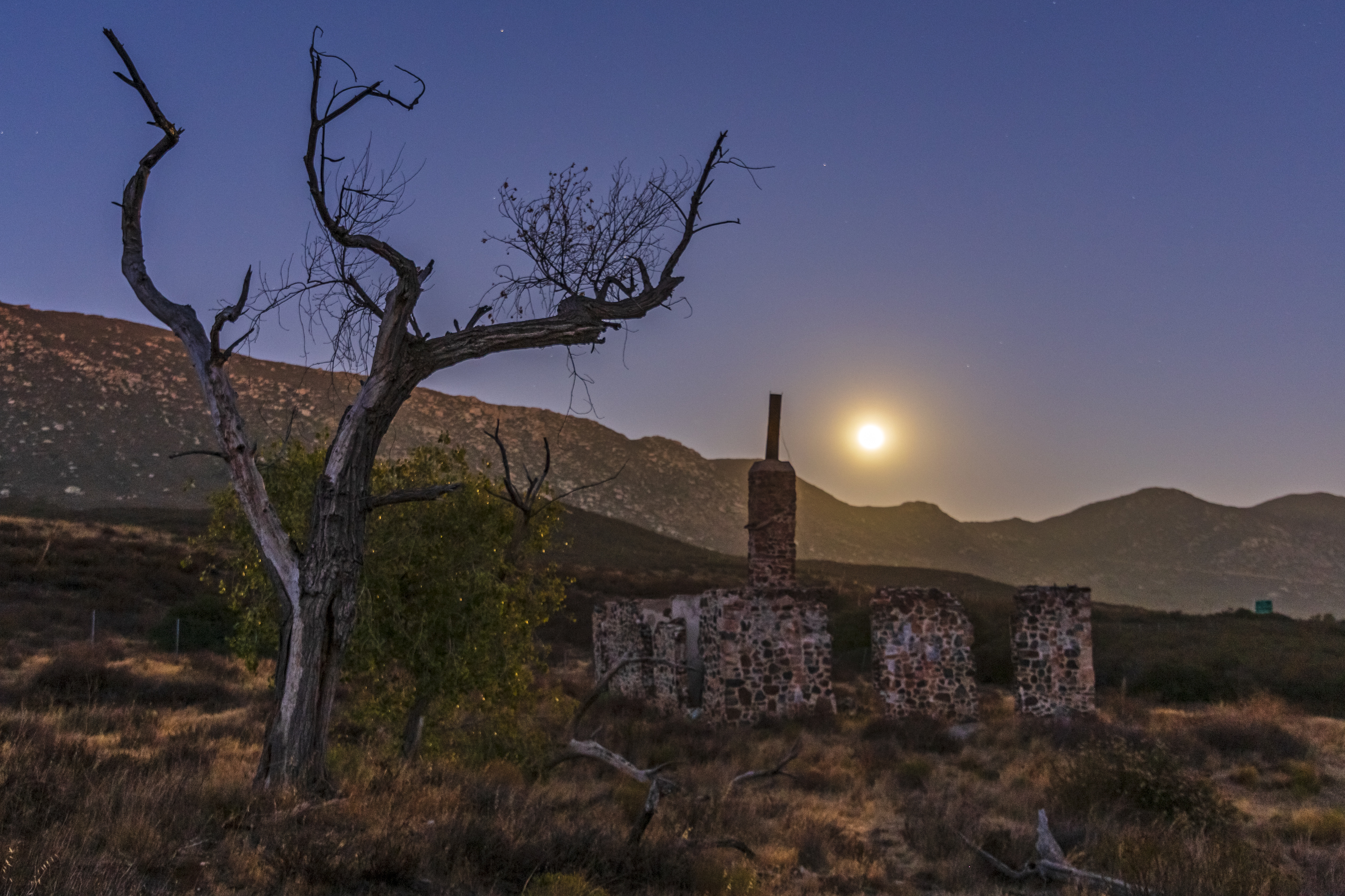
Ruins of the Buckman homestead along Old Highway 80 under a full moon

Anza-Borrego Desert State Park

Corte Madera and Approaching Storm
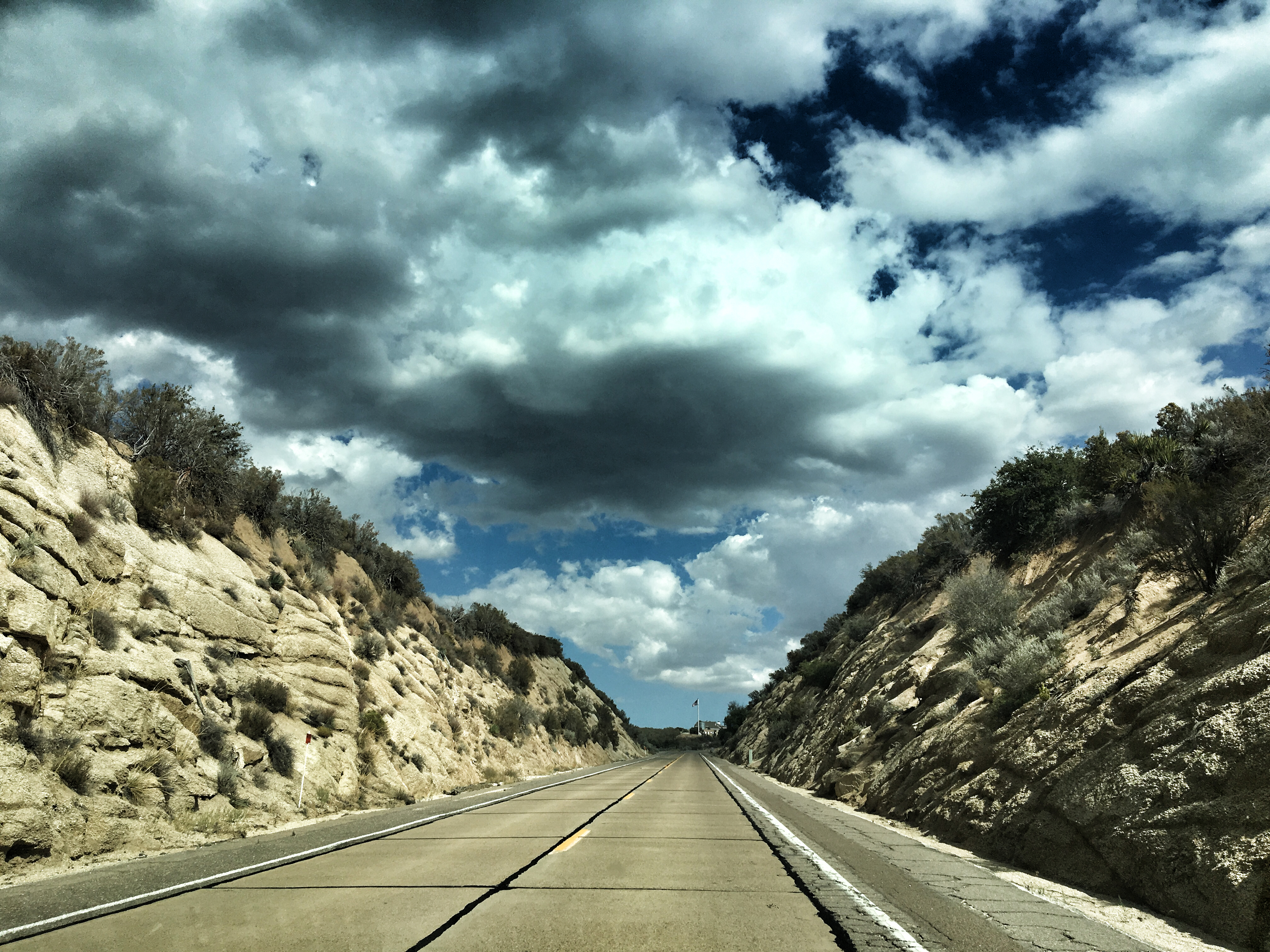
U.S. Highway 80
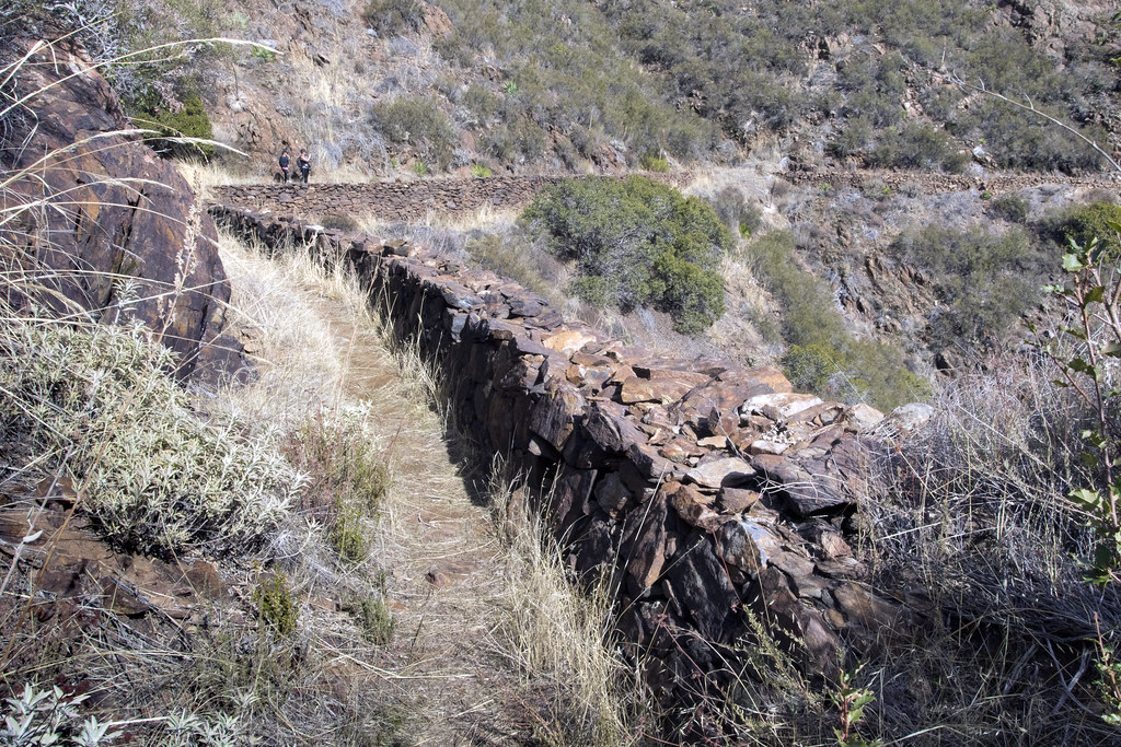
Walking The Pine Valley Flume
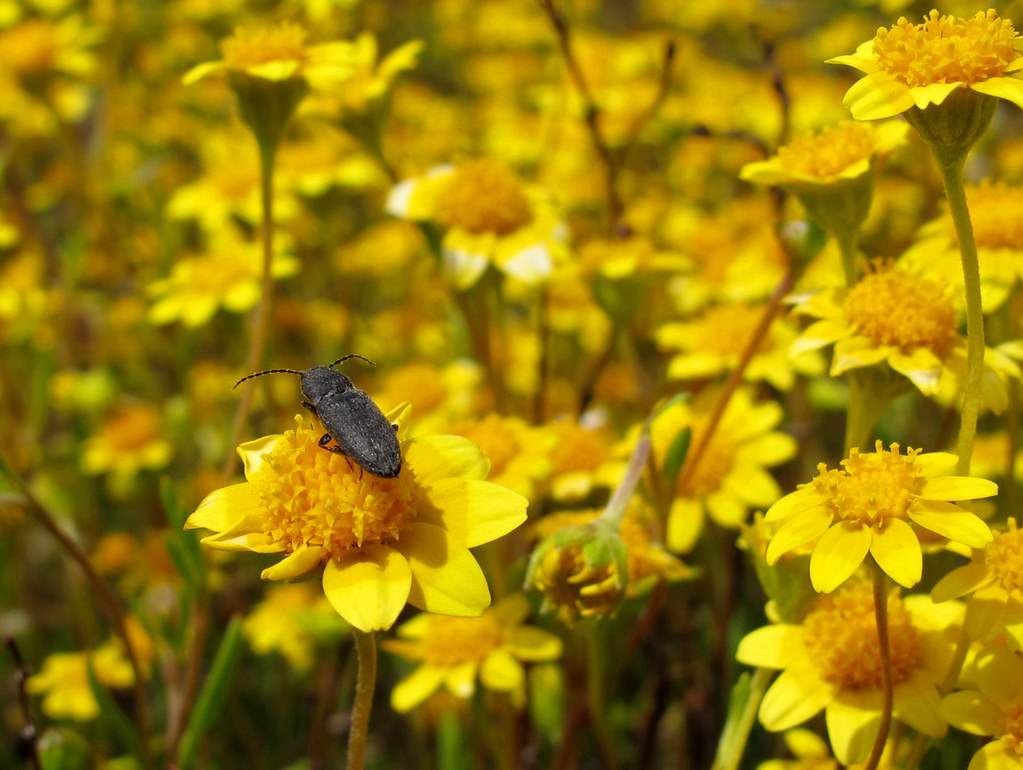
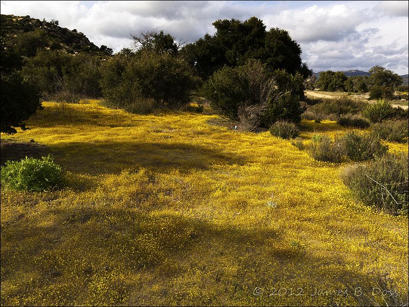
Yellow Flowers

Fallen Wood
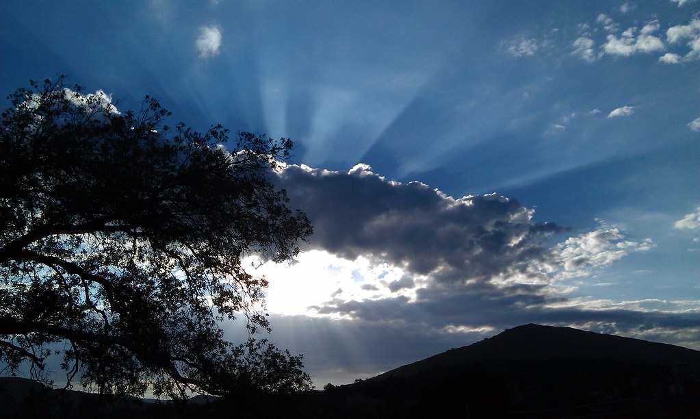
Sunrise after thunderstorm
Horsethief Canyon
Mount Laguna after the snow and ice storm 10-Nov-2012 9:36 am PST
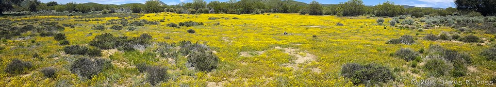
Watcher in Field of Yellow Flowers
Afternoon in Pine Creek canyon.
Sight chance of a thunderstorm. Laguna campground. Mount Laguna, California. #sandiego #camping
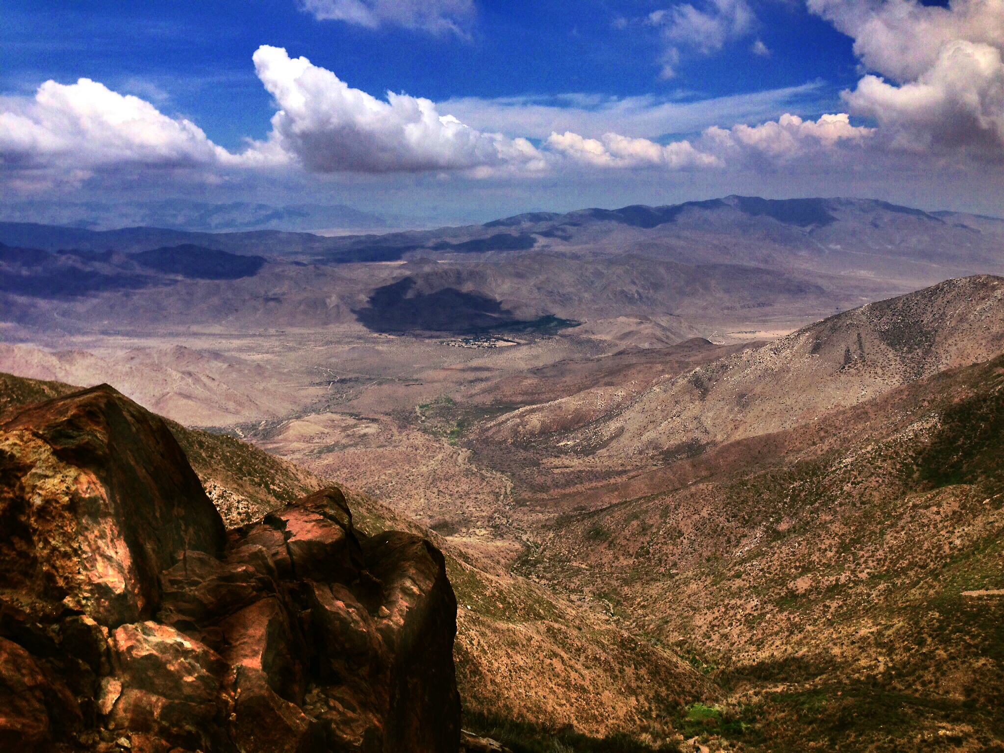
Desert View

IMG_7075.jpg
Topographic Map of Buckman Springs Rest Area, San Diego, CA, USA
Find elevation by address:

Places near Buckman Springs Rest Area, San Diego, CA, USA:
Boulder Oaks
Pine Valley
8010 Lilac Ln
28677 Lebanon Rd
Lone Pine Trail
28709 Deer Creek Trail
Laguna Mountains
35533 Stagecoach Springs Rd
Old Hwy 80, Pine Valley, CA, USA
Guatay
Mount Laguna
Descanso
6476 Japatul Highlands Rd
22237 Japatul Valley Rd
Big Cat Trail
3715 Carveacre Rd
25 Browns Rd
1300 Lynn Oak Dr
5000 Willows Rd
Viejas Casino & Resort
Recent Searches:
- Elevation of Corso Fratelli Cairoli, 35, Macerata MC, Italy
- Elevation of Tallevast Rd, Sarasota, FL, USA
- Elevation of 4th St E, Sonoma, CA, USA
- Elevation of Black Hollow Rd, Pennsdale, PA, USA
- Elevation of Oakland Ave, Williamsport, PA, USA
- Elevation of Pedrógão Grande, Portugal
- Elevation of Klee Dr, Martinsburg, WV, USA
- Elevation of Via Roma, Pieranica CR, Italy
- Elevation of Tavkvetili Mountain, Georgia
- Elevation of Hartfords Bluff Cir, Mt Pleasant, SC, USA