Elevation of Burkeville, VA, USA

Location: United States > Virginia > Nottoway County > >

Longitude: -78.201385

Latitude: 37.1876529

Elevation: 161m / 528feet

Barometric Pressure: 99KPa

Elevation Map:

elevation map of Burkeville, VA, USA

Satellite Map:

Satellite map of Burkeville, VA, USA

Related Photos:

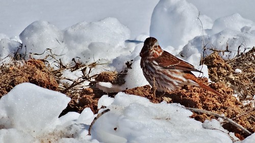
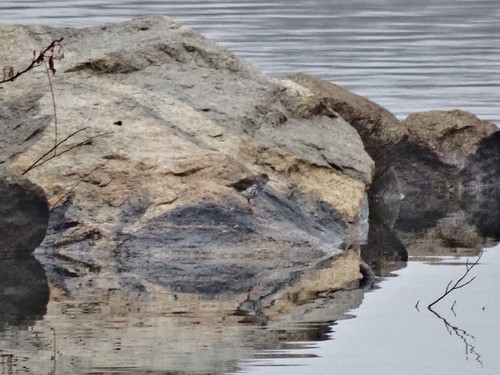
winter snow bird sparrow sandyriverreservoir
Fox Sparrow at Sandy River Reservoir, Prince Edward County, VA (2.19.15)
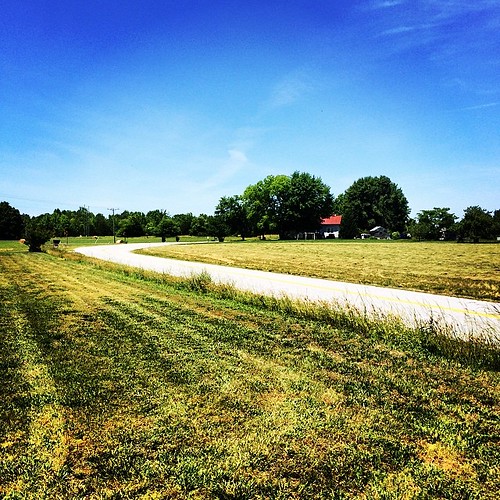
square lofi squareformat iphoneography instagramapp uploaded:by=instagram foursquare:venue=4b92b5aef964a520eb1334e3
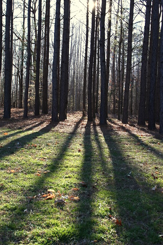
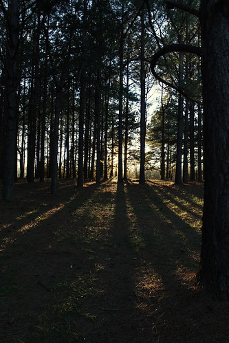
Love this view #pineforest #country
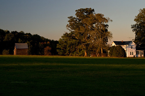
virginia october barns weatheredwood oldhouses 2010 latelight canon24105l nottowaycounty virginiapiedmont october2010
Country Evening
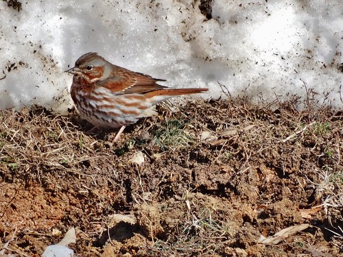
winter snow bird sparrow sandyriverreservoir
Fox Sparrow in the Mud (2.19.15)
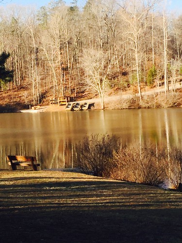
lake meetings cabins twinlakesstatepark
vertical view of lake from cabin 4
winter bird duck rare whitewingedscoter melanittafusca
White-winged Scoters at Sandy River Reservoir, Prince Edward County, VA (1.13.15)
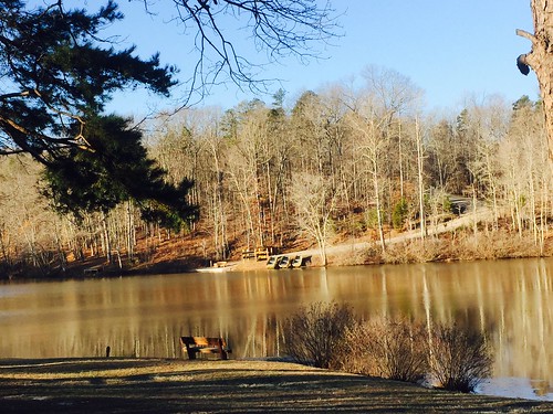
lake meetings cabins twinlakesstatepark
horizontal view of lake from cabin 4
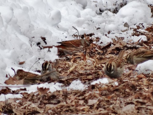
winter snow bird sparrow rare
Fox Sparrow (back) with White-throated Sparrows at Sandy River Reservoir, Prince Edward County, VA (2.18.15)
usa history rural canon virginia war union battle confederate civilwar va historical battlefield 1740mm confederacy csa americanhistory 5dmarkii
Sailor's Creek Battlefield State Park
winter bird sandpiper rare sandyriverreservoir
Spotted Sandpiper at Sandy River Reservoir, Prince Edward Co., VA (3.14.15)
winter snow bird grebe
American Coot (left) & Ruddy Duck (center) with Pied-billed Grebes (2.18.15)
homestead homestread
2011-05-21_18.02.42
square lofi squareformat iphoneography instagramapp uploaded:by=instagram foursquare:venue=4b92b5aef964a520eb1334e3
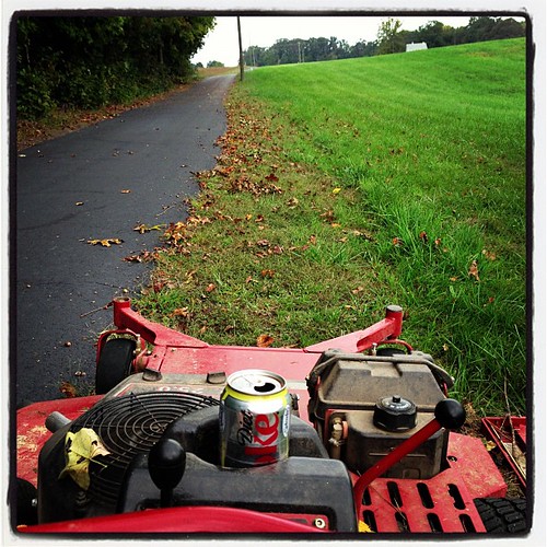
My view for the next several hours
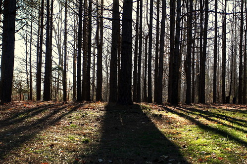
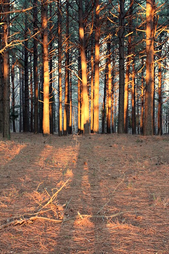
mom pineforest
View from the garden
railroad museum train crewe va crewerailroadmuseum
Crewe Railroad Museum
usa virginia unitedstates rice sailorscreekbattlefieldhistoricalstatepark saylerscreekbattlefield
View from Hillman House
dad pineforest
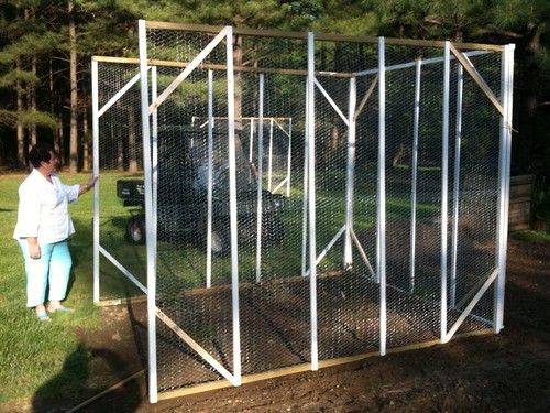
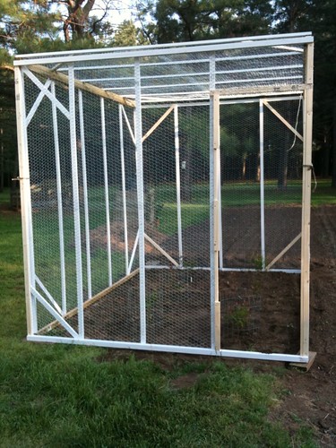
Front view - no door yet
park history creek spring war state sailors civil learning battlefield learn opportunities
View from Hillsman House
IMG_5947-1
square squareformat iphoneography instagramapp uploaded:by=instagram
Up Namozine Road. #clouds #sky
IMG_5923-1
IMG_5926-1
IMG_5927-1
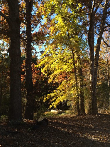
fall leaves pond pineforest uploaded:by=flickrmobile flickriosapp:filter=nofilter
Down by the pond
square squareformat iphoneography instagramapp xproii uploaded:by=instagram foursquare:venue=4b3d191ef964a520e38d25e3
Grandpa Johnie built his place in a bend in the road
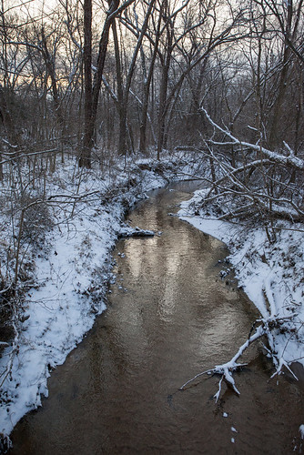
winter landscape sandyriverreservoir
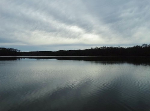
Rolling Clouds (3.16.15)
square squareformat iphoneography instagramapp xproii uploaded:by=instagram foursquare:venue=4b92b5aef964a520eb1334e3
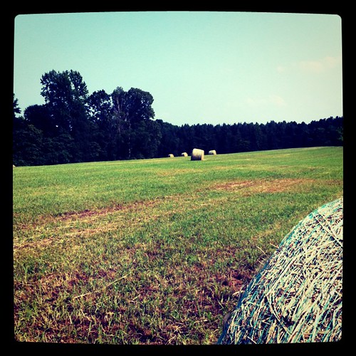
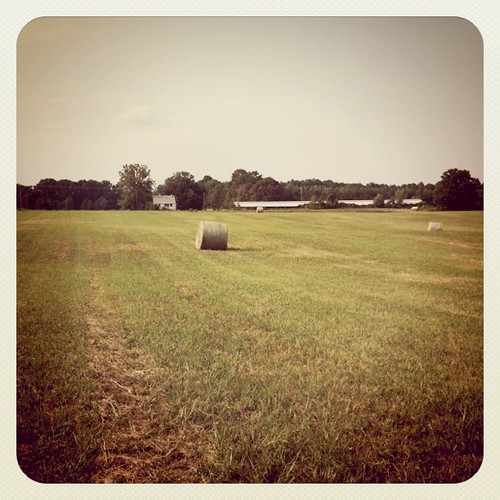
Hay, baled
square squareformat lomofi iphoneography instagramapp uploaded:by=instagram foursquare:venue=4b92b5aef964a520eb1334e3
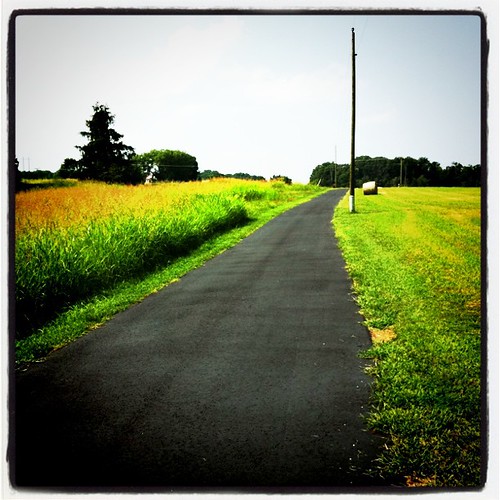
Spraying weeds - a long way to go
IMG_5948-1
winter snow history rural canon virginia country battle va historical battlefield 1740mm princeedwardcounty 5dmarkii
Winter On The Battlefield
square squareformat earlybird iphoneography instagramapp uploaded:by=instagram foursquare:venue=4b92b5aef964a520eb1334e3
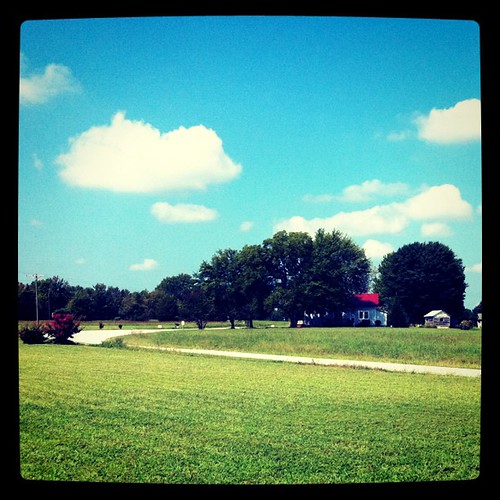
Grandpa Johnnie's house and the chickenhouse
IMG_5961-1
IMG_5929-1
fall leaves pond pineforest uploaded:by=flickrmobile flickriosapp:filter=nofilter
Down by the pond
uploaded:by=flickrmobile flickriosapp:filter=chameleon chameleonfilter pineforestnottoway
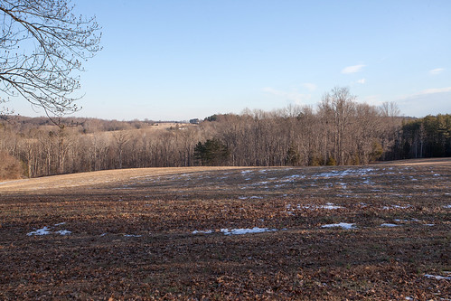
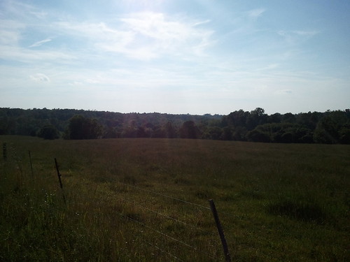
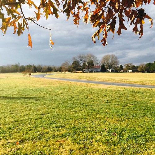
The front field
park fence national battlefield saylerscreek
IMG_1847.jpg
virginia landscapes military civilwar battlefield stateparks nationalregister nationalregisterofhistoricplaces sailorscreek ameliacounty saylerscreek
Sailors Cr Battlefield- Amelia Co VA 1993 c
uploaded:by=flickrmobile flickriosapp:filter=nofilter
Front moving through