Elevation of E Sayler's Creek Rd, Jetersville, VA, USA
Location: United States > Virginia > Amelia County > >
Longitude: -78.169270
Latitude: 37.3296838
Elevation: 144m / 472feet
Barometric Pressure: 100KPa
Elevation Map:
Satellite Map:
Related Photos:
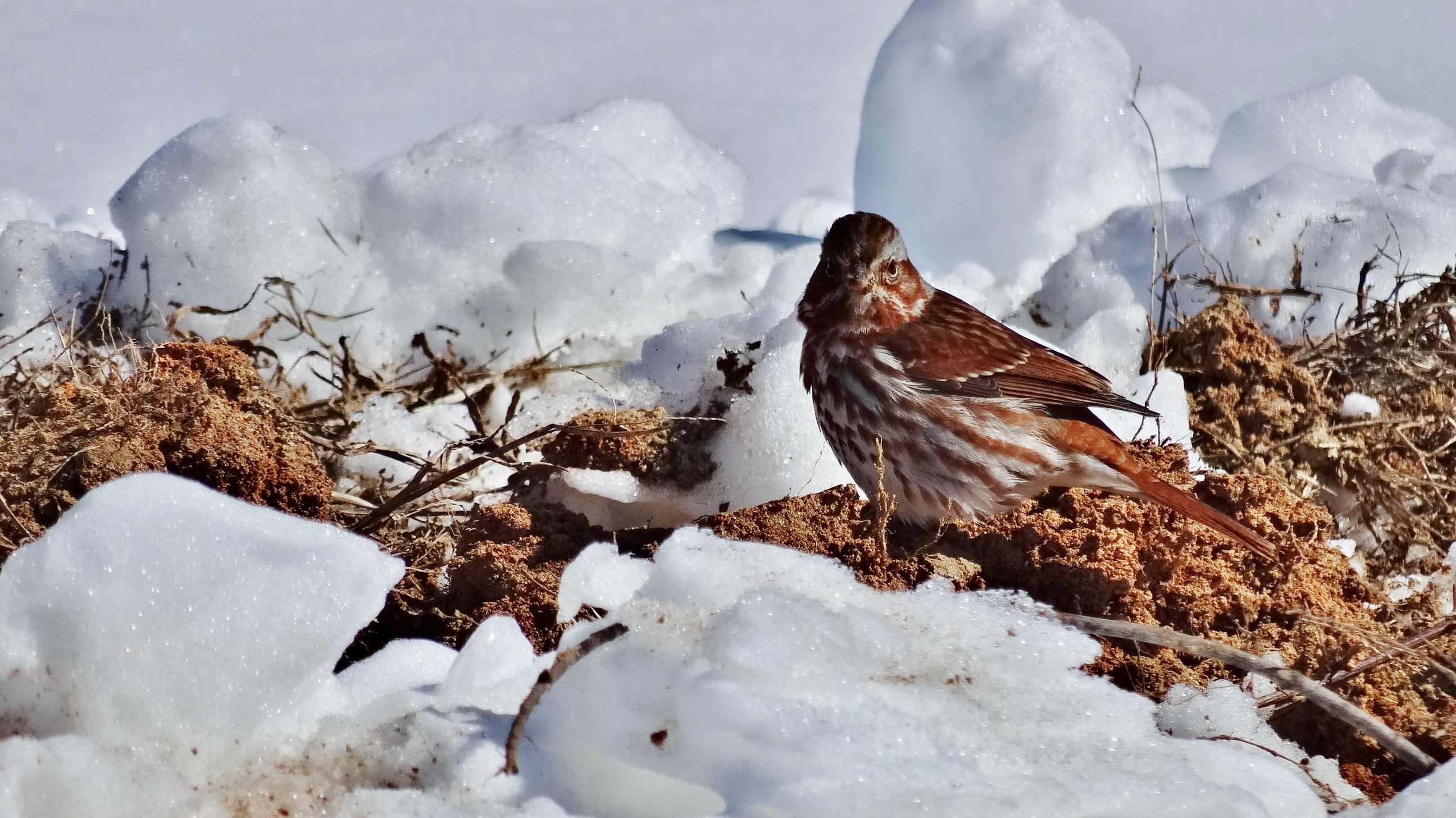
Fox Sparrow at Sandy River Reservoir, Prince Edward County, VA (2.19.15)

Fox Sparrow in the Mud (2.19.15)
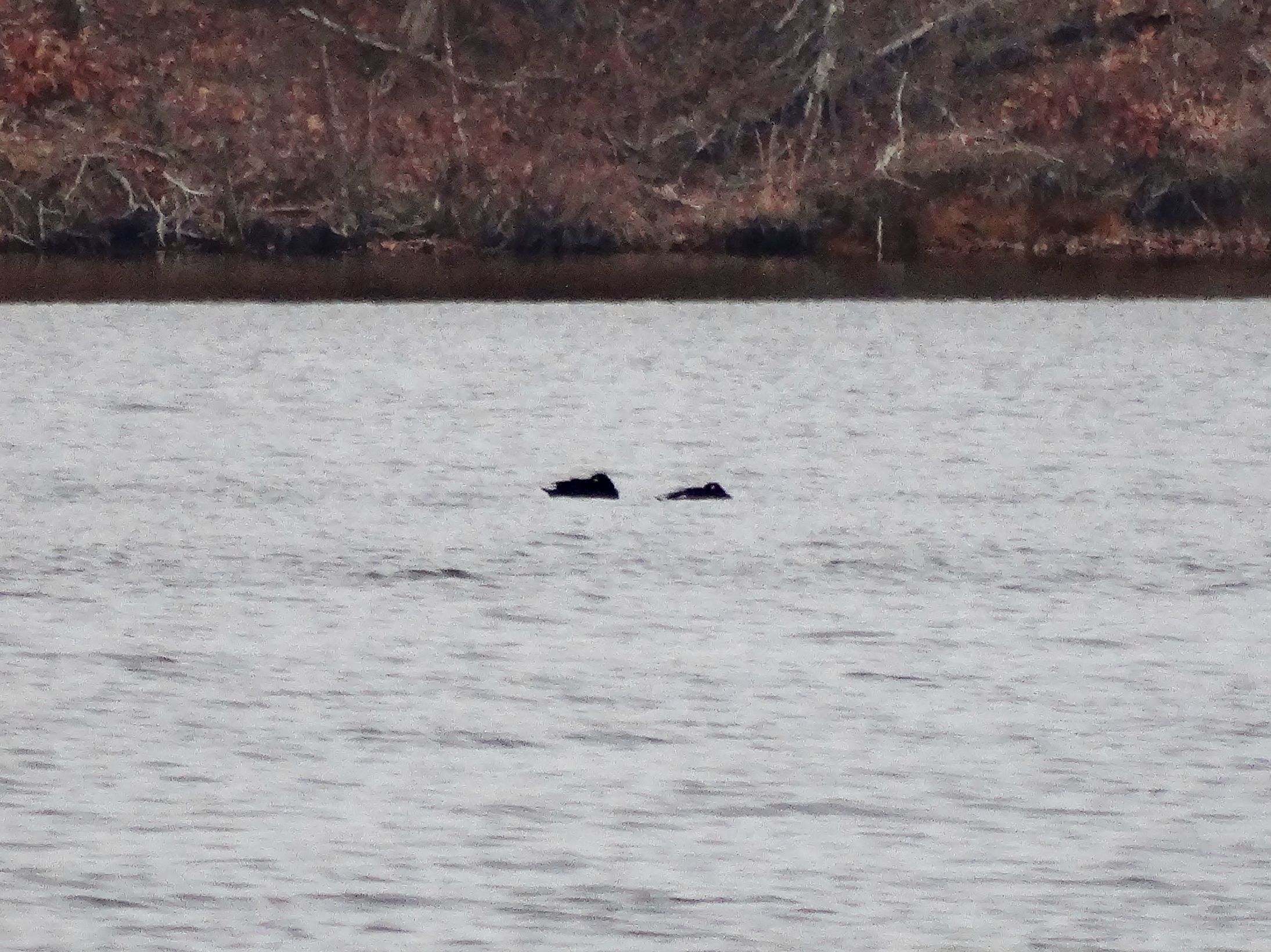
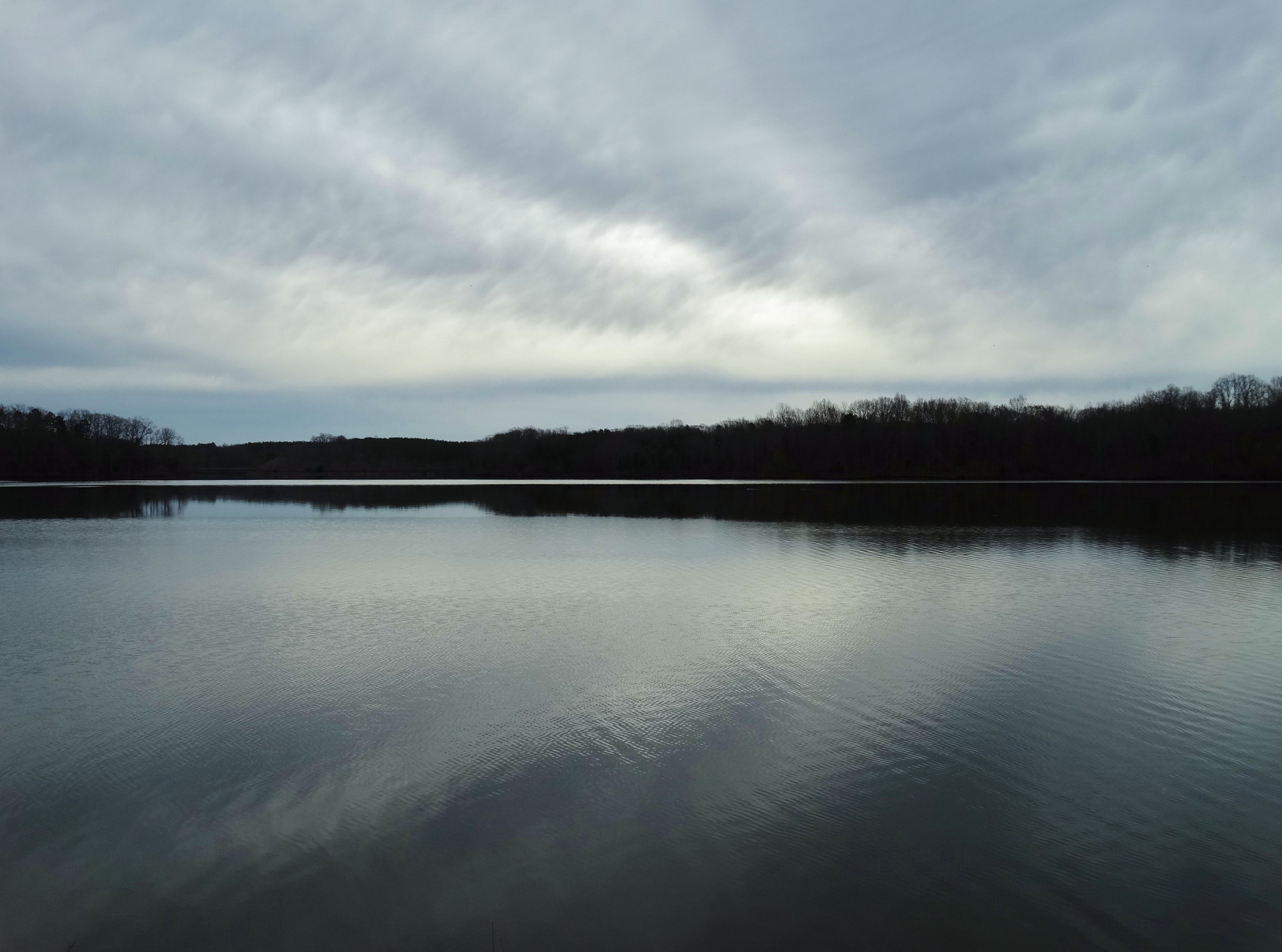
White-winged Scoters at Sandy River Reservoir, Prince Edward County, VA (1.13.15)
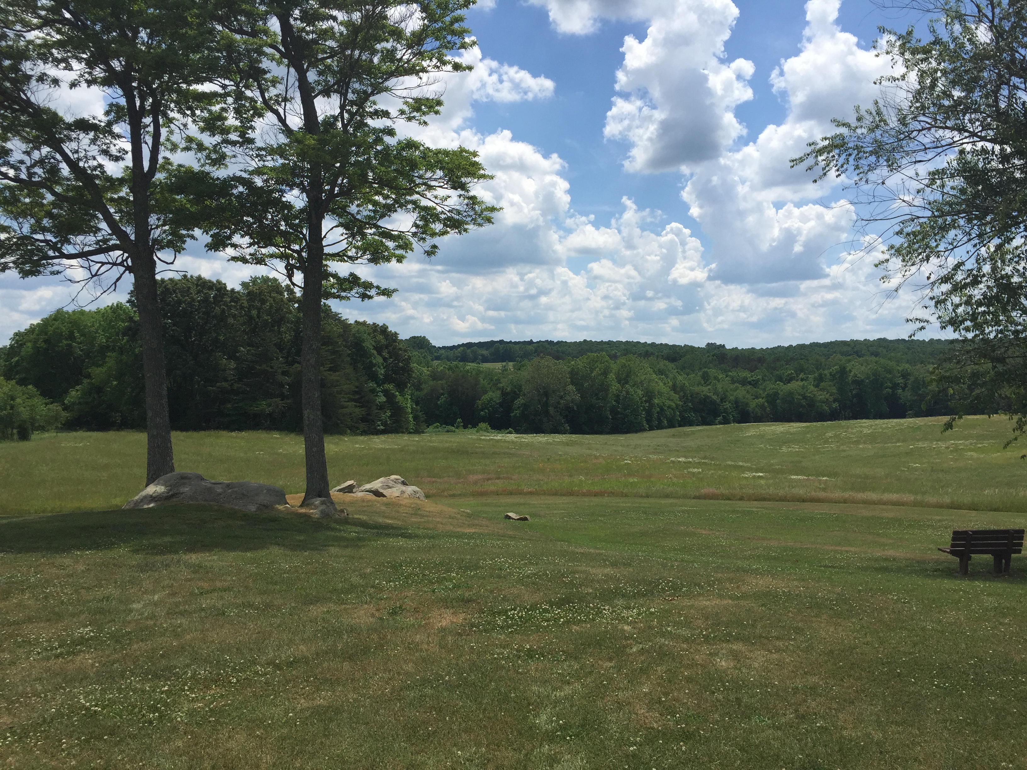
Sailor's Creek Battlefield State Park

Spotted Sandpiper at Sandy River Reservoir, Prince Edward Co., VA (3.14.15)
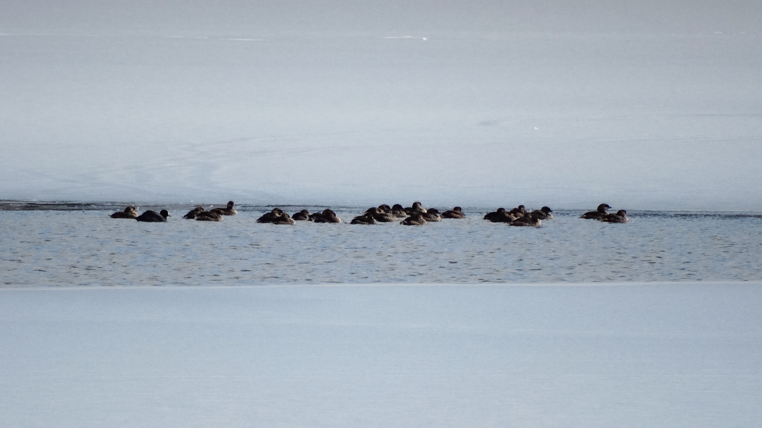
American Coot (left) & Ruddy Duck (center) with Pied-billed Grebes (2.18.15)

Random photo from Virginia.
2011-05-21_18.02.42

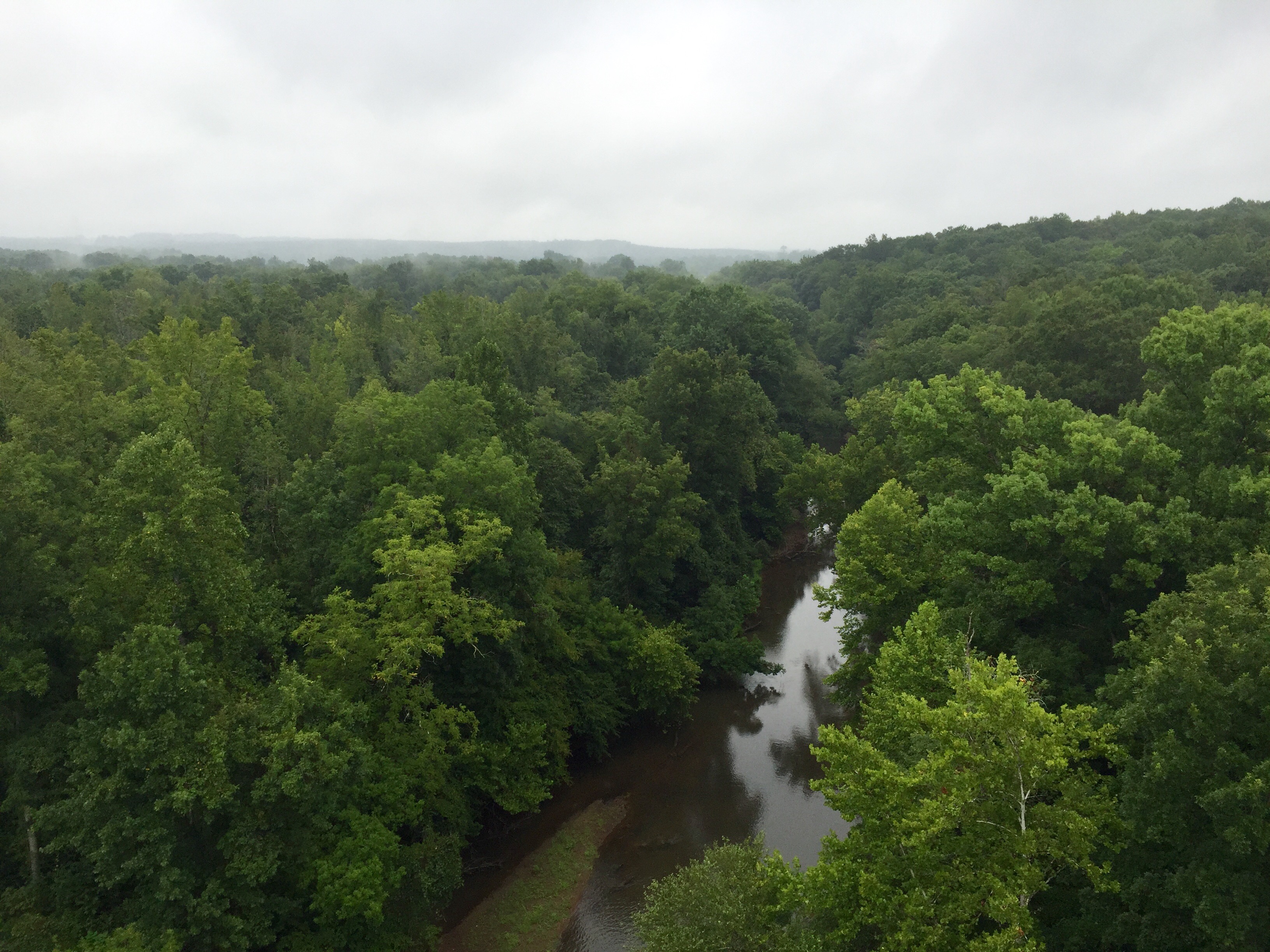
High Bridge Trail
High Bridge Trail

High Bridge 18 Apr 10 484

Random photo from Virginia.
View from Hillman House
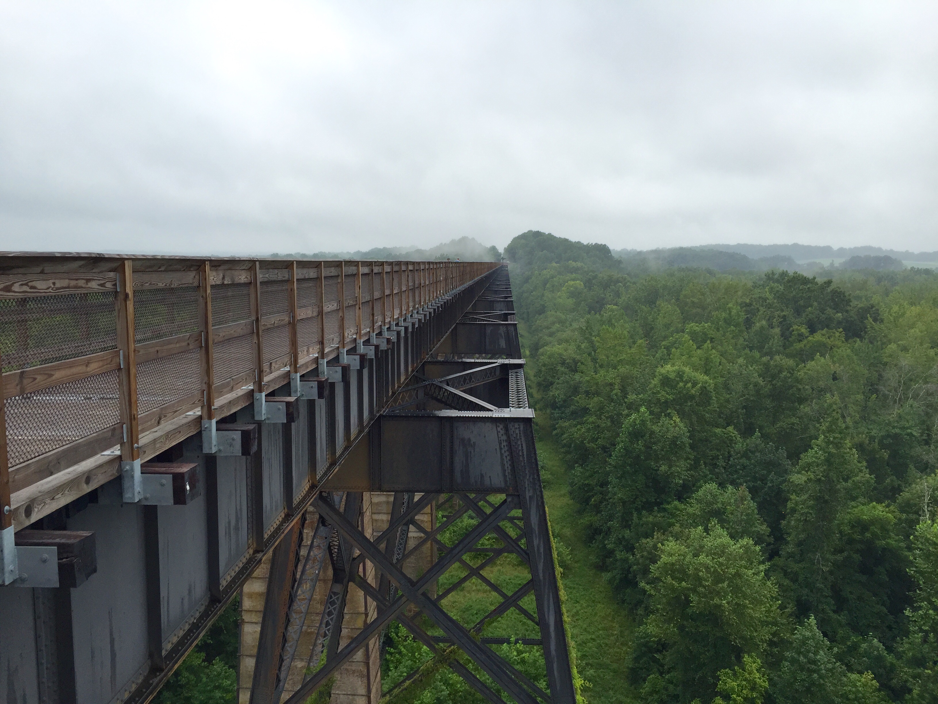
High Bridge Trail State Park
View from Hillsman House
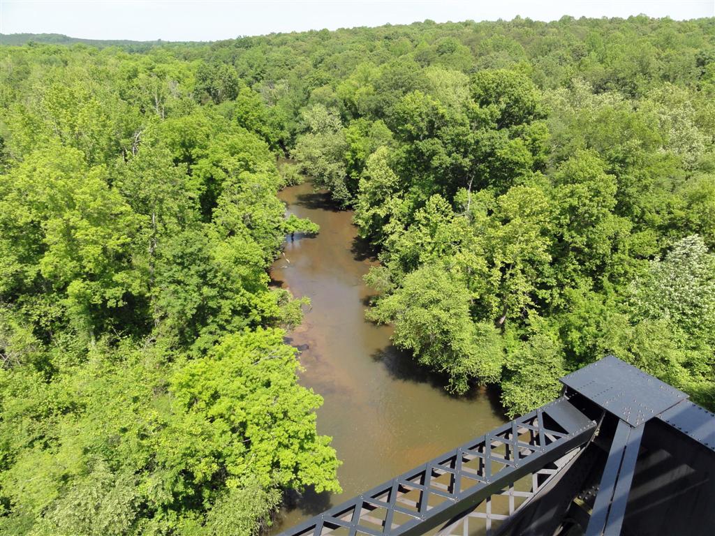
View from the High Bridge

From the Bus
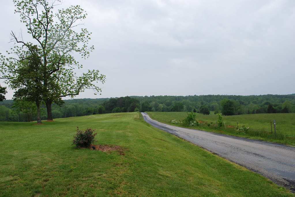
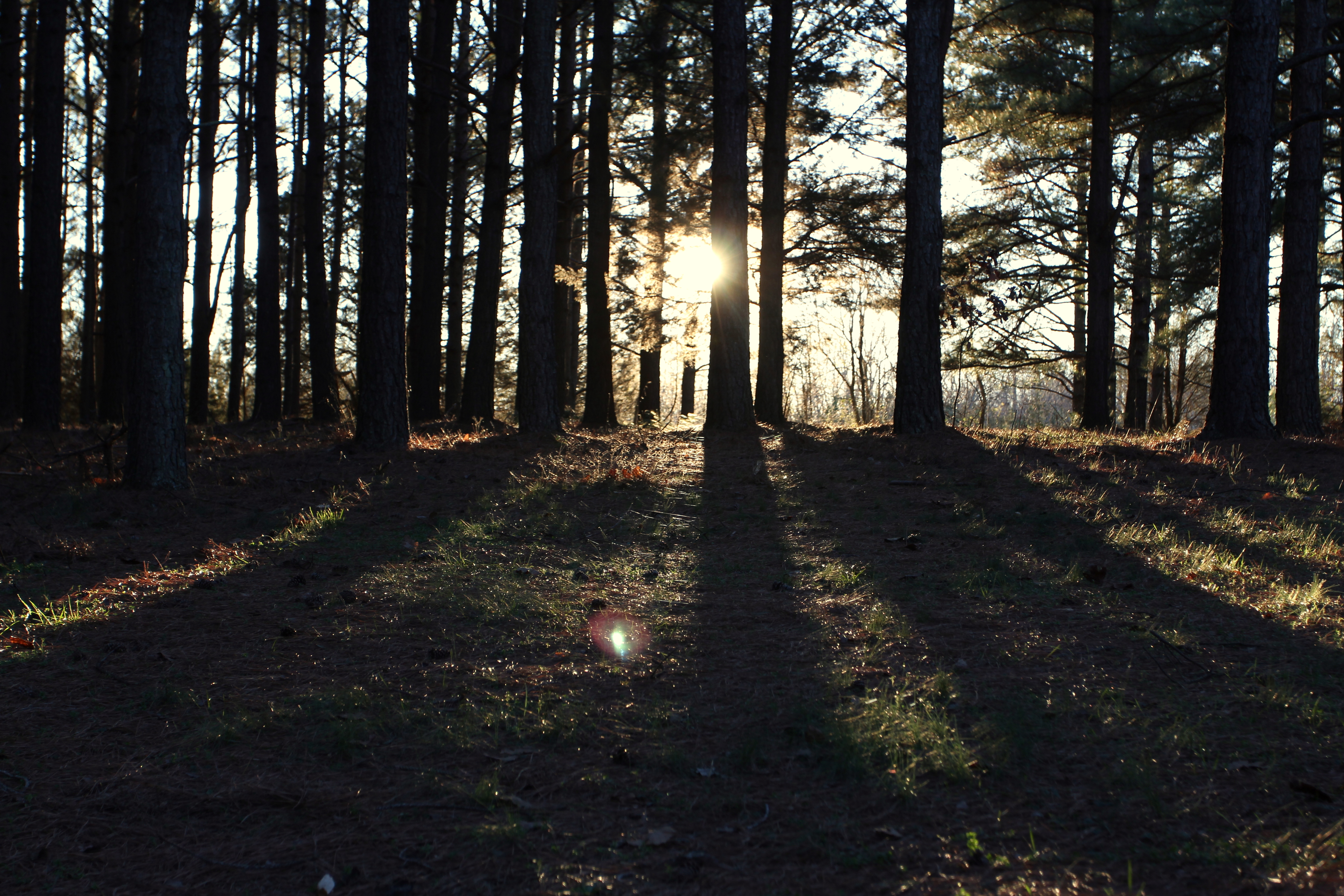
Love this view #pineforest #country
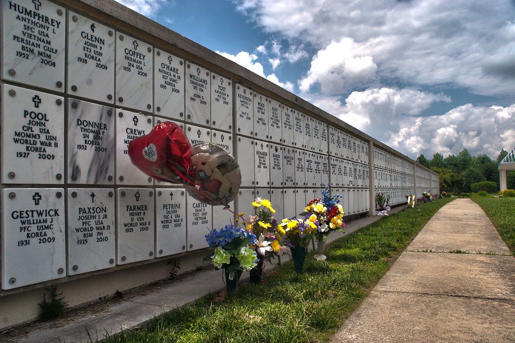
Memorial Wall
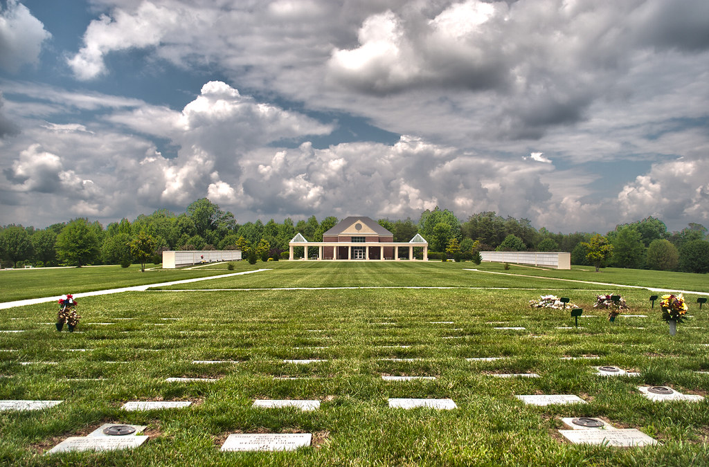
Remember the fallen

A Devoted Man

IMG_5923-1
Rolling Clouds (3.16.15)
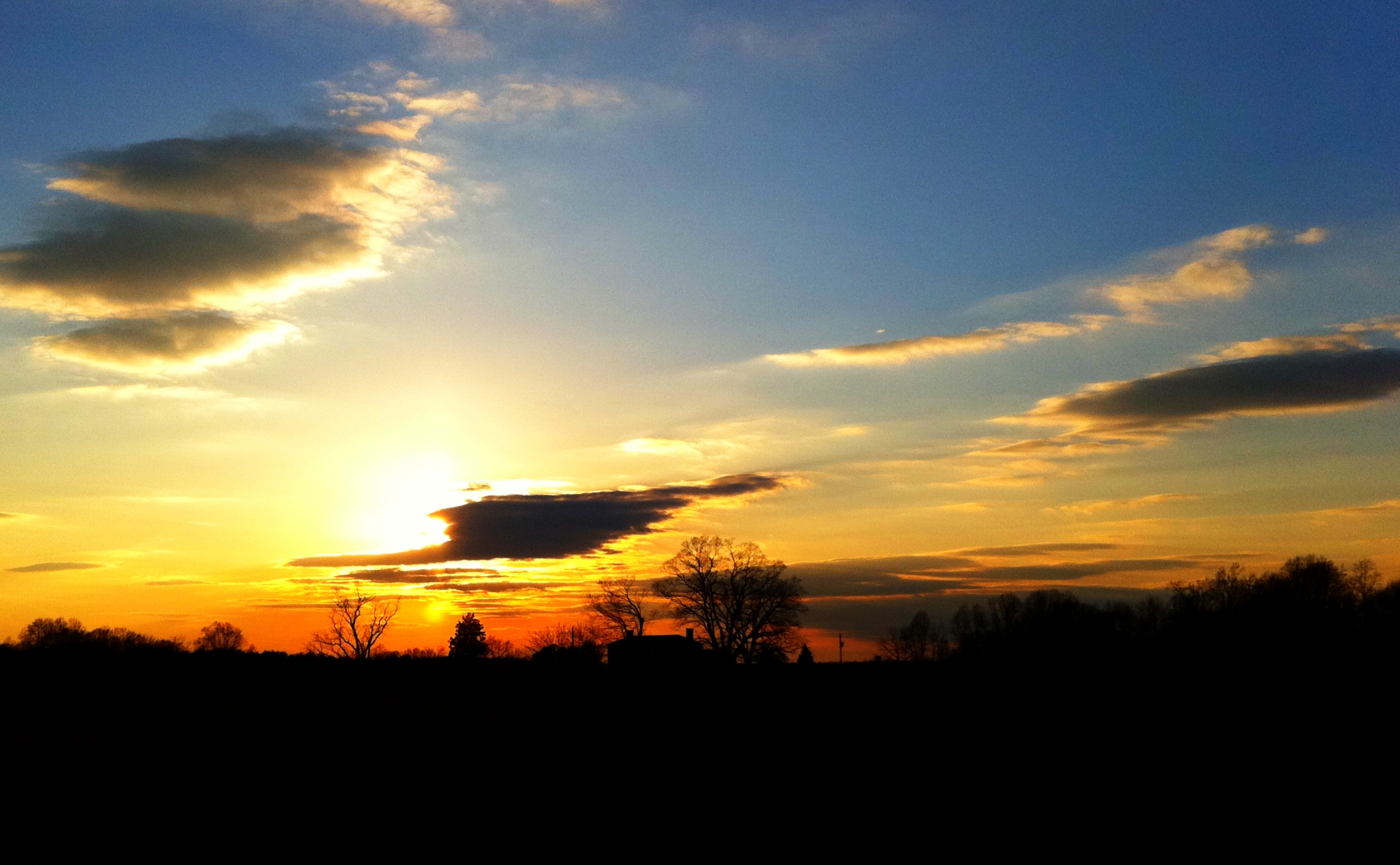
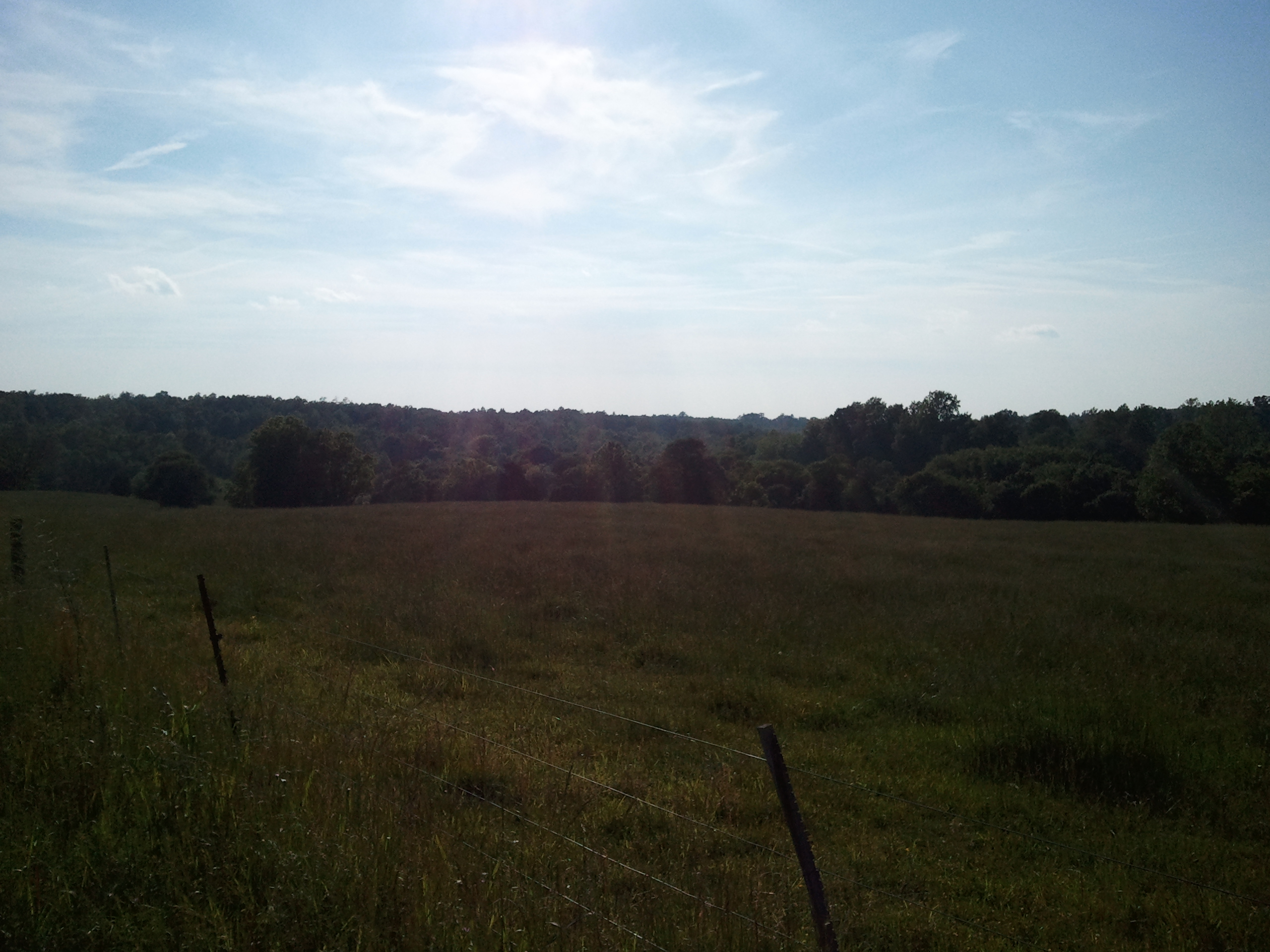
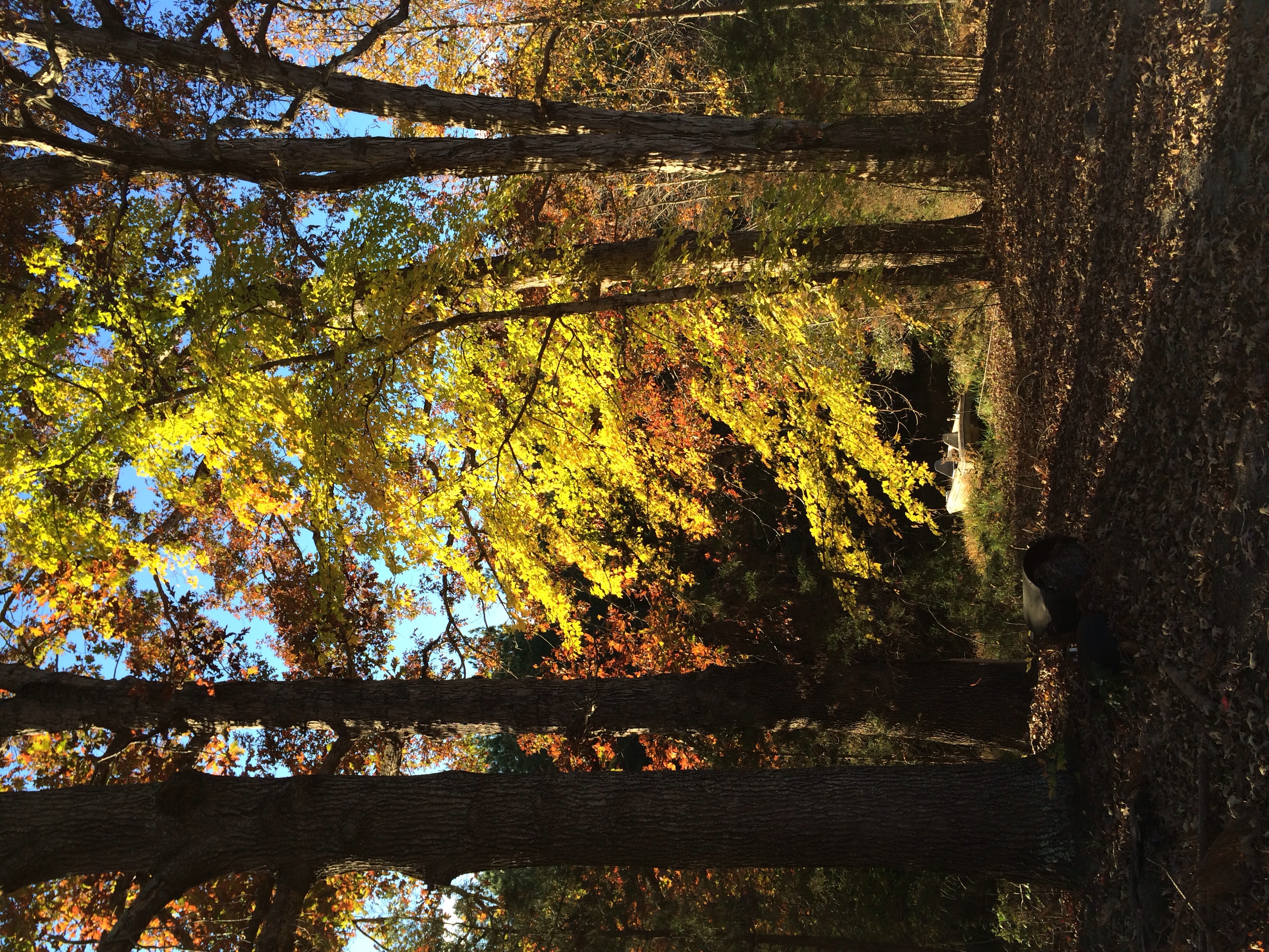
Farm Sunset

Winter On The Battlefield
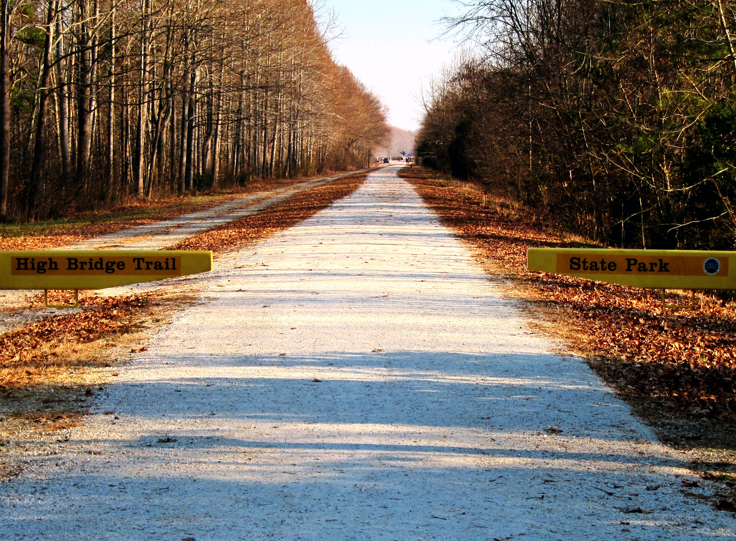
High Bridge Trail State Park

Sailors Cr Battlefield- Amelia Co VA 1993 c
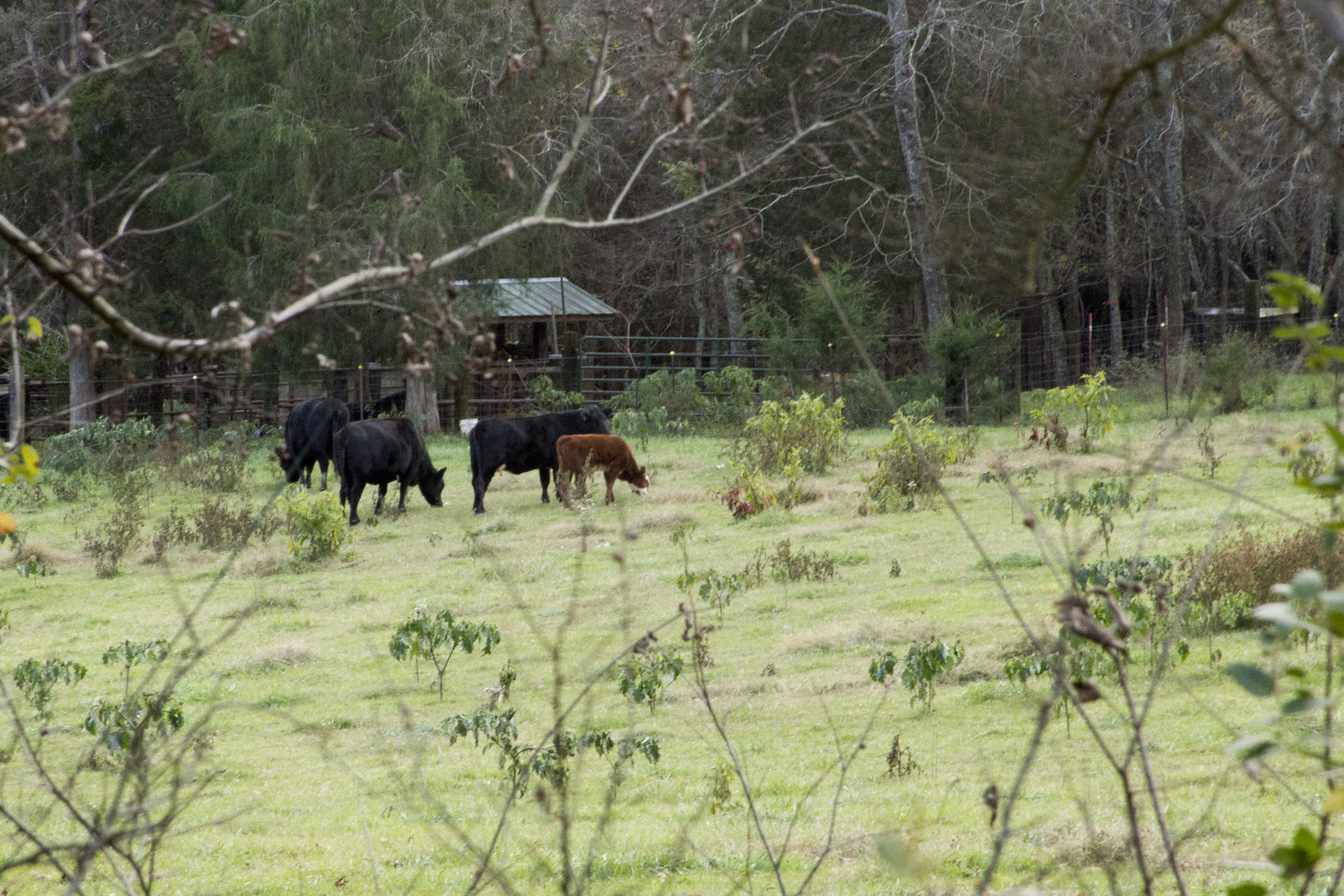
Cows seen from High Bridge Trail State Park

Hermit Thrush (2.15.14)
IMG_5947-1

Up Namozine Road. #clouds #sky

IMG_5926-1
IMG_5927-1
Down by the pond
Grandpa Johnie built his place in a bend in the road
Hay, baled
Spraying weeds - a long way to go

IMG_5948-1
Grandpa Johnnie's house and the chickenhouse
Topographic Map of E Sayler's Creek Rd, Jetersville, VA, USA
Find elevation by address:

Places near E Sayler's Creek Rd, Jetersville, VA, USA:
8430 Va-616
1, VA, USA
Rodophil Road
James River
Thompson Lane
Genito Rd, Jetersville, VA, USA
Jetersville
Sunrise Lane
Clementown Road
Clementown Road
Rice
4, VA, USA
467 River Rd
3089 Cumberland Rd
5, VA, USA
2145 Cumberland Rd
Hylawn Avenue
48 Raines Tavern Rd, Farmville, VA, USA
North Main Street
North Main Street
Recent Searches:
- Elevation of Corso Fratelli Cairoli, 35, Macerata MC, Italy
- Elevation of Tallevast Rd, Sarasota, FL, USA
- Elevation of 4th St E, Sonoma, CA, USA
- Elevation of Black Hollow Rd, Pennsdale, PA, USA
- Elevation of Oakland Ave, Williamsport, PA, USA
- Elevation of Pedrógão Grande, Portugal
- Elevation of Klee Dr, Martinsburg, WV, USA
- Elevation of Via Roma, Pieranica CR, Italy
- Elevation of Tavkvetili Mountain, Georgia
- Elevation of Hartfords Bluff Cir, Mt Pleasant, SC, USA