Elevation of Amelia County, VA, USA
Location: United States > Virginia >
Longitude: -77.973865
Latitude: 37.3212714
Elevation: 113m / 371feet
Barometric Pressure: 100KPa
Elevation Map:
Satellite Map:
Related Photos:

From the Bus

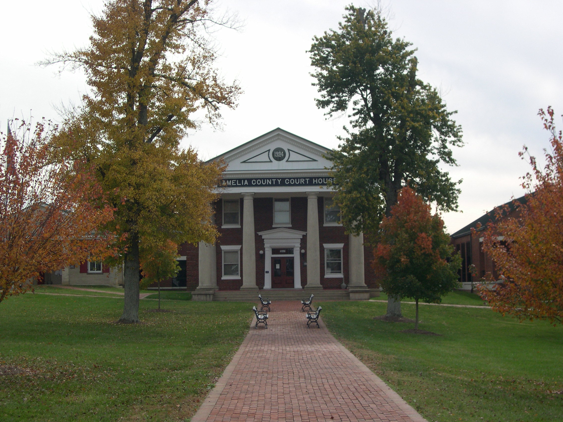
Ameila County Monument & Courthouse

Another view of the bulding.
Countryside Panorama
3D Amelia
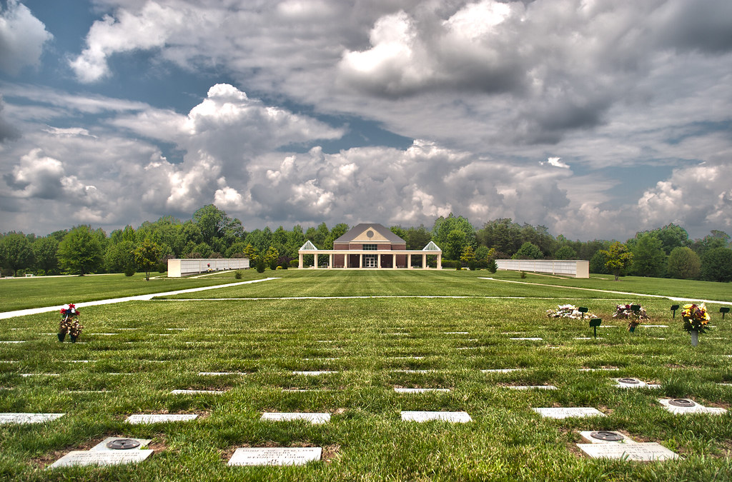
Memorial Wall
The Country
Remember the fallen

A Devoted Man
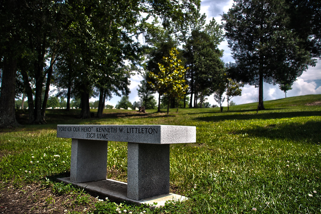
Forever our Hero

Sunset after Maternity Shoot
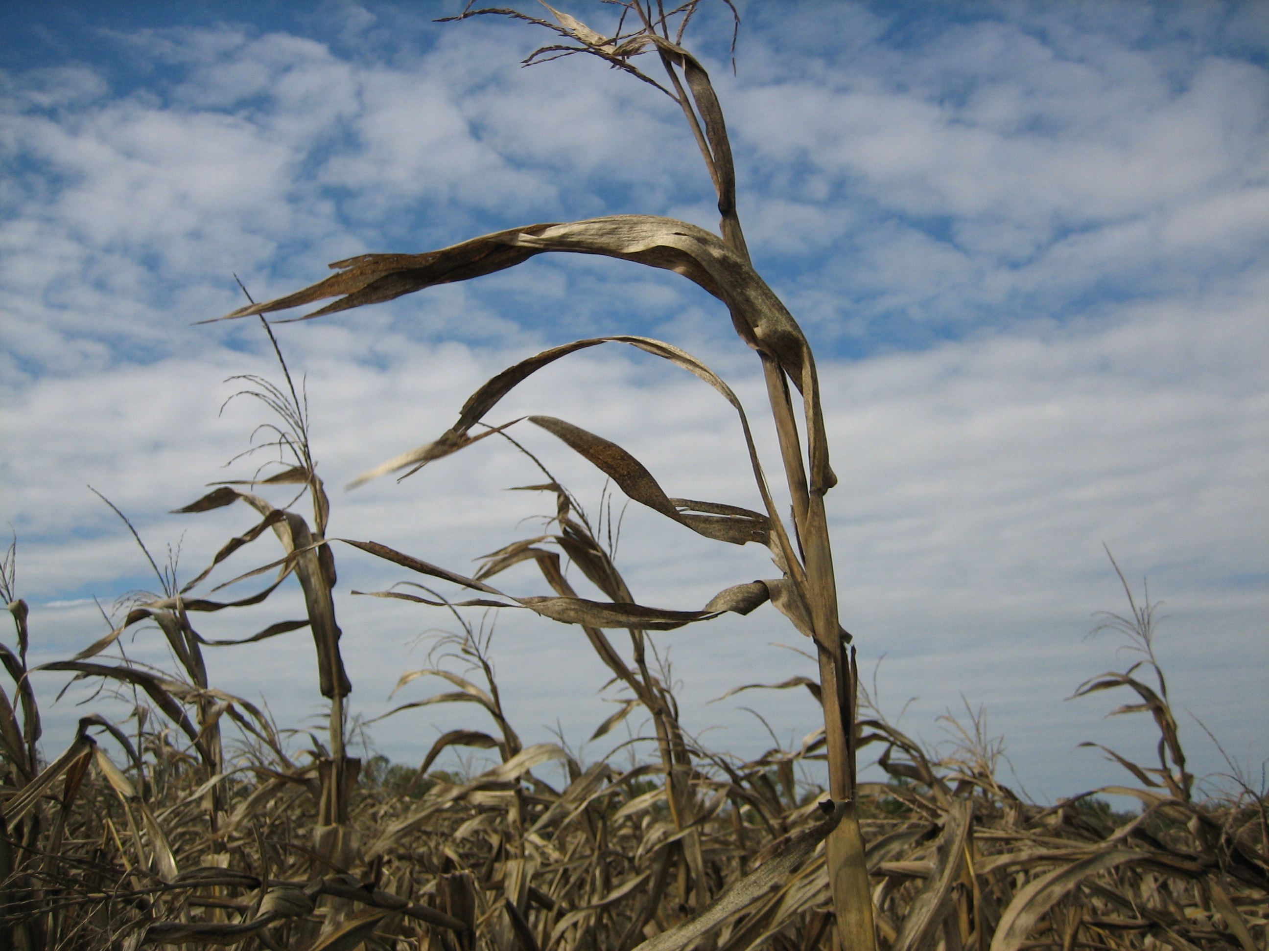
The Cornstalks, My Friend
Amelia County Courthouse, Amelia Courthouse, Va 03
IMAG0050.jpg
IMAG0049.jpg

Grasshopper Sparrow - Looking Behind (7.15.15)

Grasshopper Sparrow - Looking Forward (7.15.15)
Topographic Map of Amelia County, VA, USA
Find elevation by address:

Places in Amelia County, VA, USA:
Places near Amelia County, VA, USA:
Amelia Court House
Patrick Henry Hwy, Amelia Court House, VA, USA
AMELIA CT HSE, VA, USA
3, VA, USA
4, VA, USA
15401 Goodes Bridge Rd
15401 Goodes Bridge Rd
18151 W Pridesville Rd
12250 Little Patrick Rd
6331 Beaver Ln
Lodore Rd, Amelia Court House, VA, USA
12128 Old Chula Rd
12128 Old Chula Rd
12128 Old Chula Rd
Dutchess Lane
10621 Dutchess Ln
2, VA, USA
5375 Cralles Rd
13341 West Ln
Mattoax Lane
Recent Searches:
- Elevation of Corso Fratelli Cairoli, 35, Macerata MC, Italy
- Elevation of Tallevast Rd, Sarasota, FL, USA
- Elevation of 4th St E, Sonoma, CA, USA
- Elevation of Black Hollow Rd, Pennsdale, PA, USA
- Elevation of Oakland Ave, Williamsport, PA, USA
- Elevation of Pedrógão Grande, Portugal
- Elevation of Klee Dr, Martinsburg, WV, USA
- Elevation of Via Roma, Pieranica CR, Italy
- Elevation of Tavkvetili Mountain, Georgia
- Elevation of Hartfords Bluff Cir, Mt Pleasant, SC, USA