Elevation of 1, VA, USA

Location: United States > Virginia > Amelia County >

Longitude: -78.156443

Latitude: 37.3398797

Elevation: 143m / 469feet

Barometric Pressure: 100KPa

Elevation Map:

elevation map of 1, VA, USA
Satellite Map:

Satellite map of 1, VA, USA
Related Photos:

old windows sky abstract bus photography noir view ride interior
From the Bus
usa history rural canon virginia war union battle confederate civilwar va historical battlefield 1740mm confederacy csa americanhistory 5dmarkii
Sailor's Creek Battlefield State Park
cemetery canon virginia hdr ameliacounty busterfrith
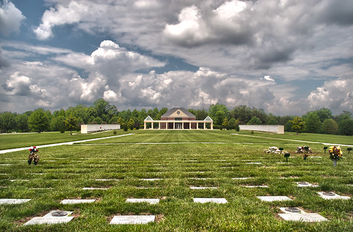
Memorial Wall
cemetery canon virginia hdr ameliacounty busterfrith
Remember the fallen
old bridge virginia ironbridge va fowlkesbridgeroad
Random photo from Virginia.
homestead homestread
2011-05-21_18.02.42
cemetery canon virginia hdr ameliacounty busterfrith
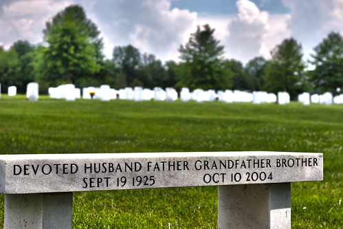
A Devoted Man
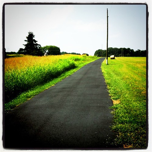
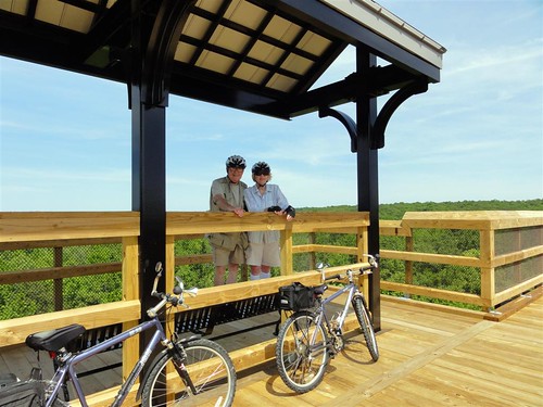
park bridge summer high state trail views biking vista
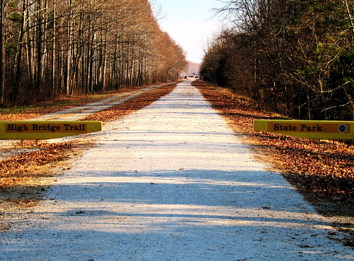
High Bridge Trail
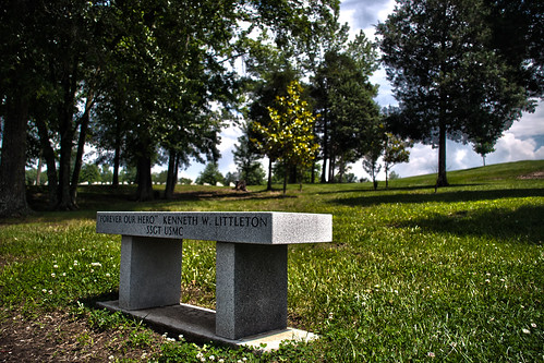
cemetery grass canon bench hdr busterfrith
Forever our Hero
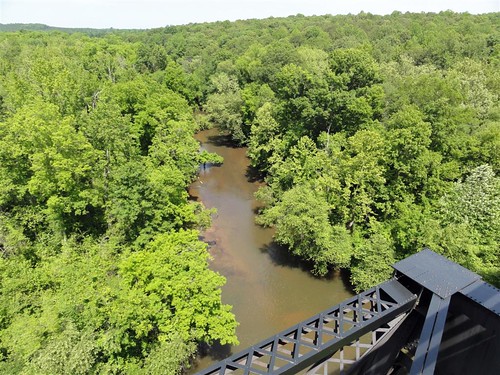
park bridge summer river high state trail views vista
High Bridge Trail
highbridge
High Bridge 18 Apr 10 484
old bridge virginia ironbridge va fowlkesbridgeroad
Random photo from Virginia.
usa virginia unitedstates rice sailorscreekbattlefieldhistoricalstatepark saylerscreekbattlefield
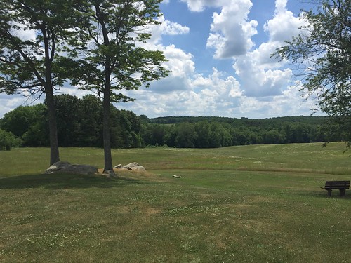
View from Hillman House
High Bridge Trail State Park
park history creek spring war state sailors civil learning battlefield learn opportunities
View from Hillsman House
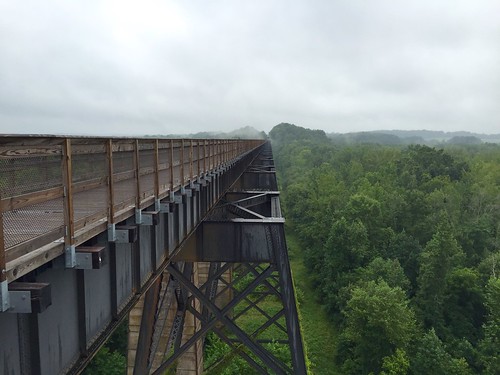
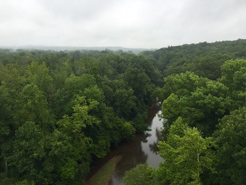
View from the High Bridge
virginia ameliacourthouse april courthouses 2013 canon24105l civilwarmonuments ameliacounty memorialsmonuments virginiacourthouses april2013
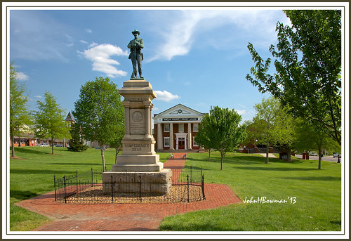
Ameila County Monument & Courthouse
square lofi squareformat iphoneography instagramapp uploaded:by=instagram foursquare:venue=4b92b5aef964a520eb1334e3
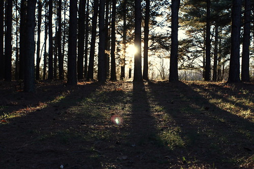
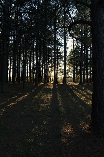
Love this view #pineforest #country
square lofi squareformat iphoneography instagramapp uploaded:by=instagram foursquare:venue=4b92b5aef964a520eb1334e3
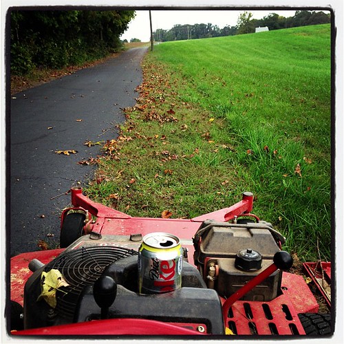
My view for the next several hours
mom pineforest
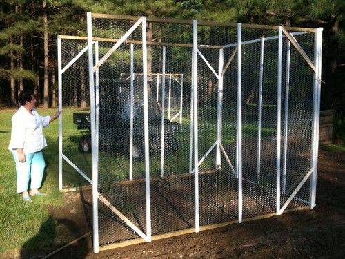
View from the garden
dad pineforest
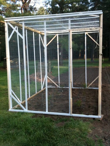
Front view - no door yet
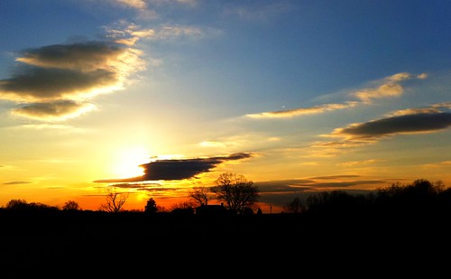
Farm Sunset
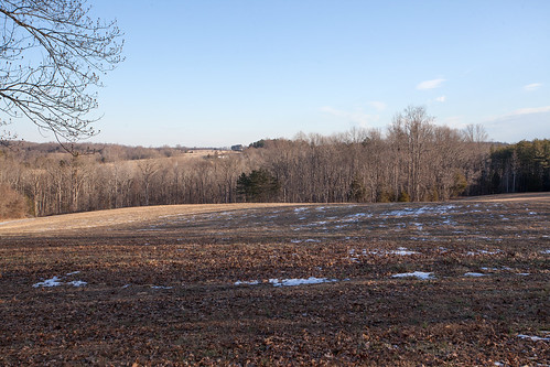
winter snow history rural canon virginia country battle va historical battlefield 1740mm princeedwardcounty 5dmarkii
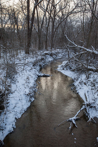
Winter On The Battlefield
usa geotagged virginia unitedstates farmville va dcr cumberlandcounty vsp highbridgetrailstatepark geo:lat=3731858376 geo:lon=7832944840
High Bridge Trail State Park
park fence national battlefield saylerscreek
IMG_1847.jpg
virginia landscapes military civilwar battlefield stateparks nationalregister nationalregisterofhistoricplaces sailorscreek ameliacounty saylerscreek
Sailors Cr Battlefield- Amelia Co VA 1993 c
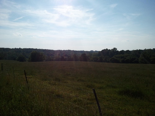
Cows seen from High Bridge Trail State Park
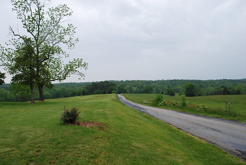
road fence virginia hills civilwar va battlefield hillside uscivilwar sailorscreek saylerscreek saylerscreekbattlefield sailorscreekbattlefield
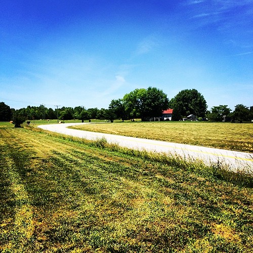
Road through the hills...
usa history rural canon virginia war union battle confederate civilwar va historical battlefield 1740mm confederacy csa americanhistory 5dmarkii
Lockett Farm
trees winter snow church canon kitlens kit hdr canonefs1855mm3556ii xti 400d
Was a Blizzard
IMG_5947-1
square squareformat iphoneography instagramapp uploaded:by=instagram
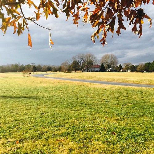
Up Namozine Road. #clouds #sky
IMG_5923-1
IMG_5926-1
IMG_5927-1
fall leaves pond pineforest uploaded:by=flickrmobile flickriosapp:filter=nofilter
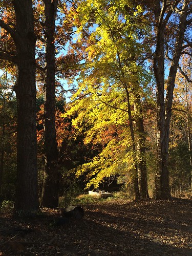
Down by the pond
square squareformat iphoneography instagramapp xproii uploaded:by=instagram foursquare:venue=4b3d191ef964a520e38d25e3
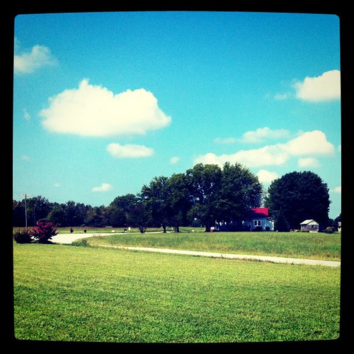
Grandpa Johnie built his place in a bend in the road
square squareformat iphoneography instagramapp xproii uploaded:by=instagram foursquare:venue=4b92b5aef964a520eb1334e3
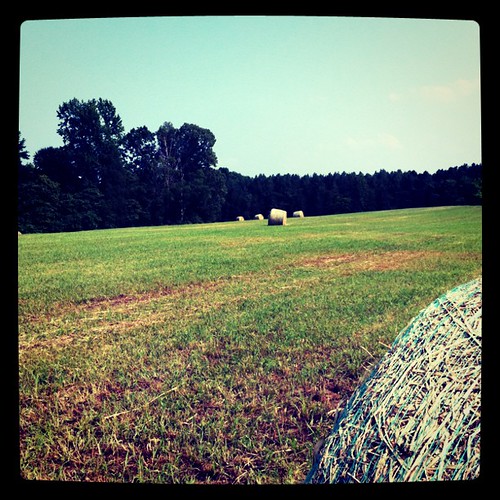
Hay, baled
square squareformat lomofi iphoneography instagramapp uploaded:by=instagram foursquare:venue=4b92b5aef964a520eb1334e3
Spraying weeds - a long way to go
IMG_5948-1