Elevation map of Burang, Ngari, Tibet, China
Location: China > Tibet > Ngari >
Longitude: 81.176237
Latitude: 30.294402
Elevation: 4609m / 15121feet
Barometric Pressure: 57KPa
Elevation Map:
Satellite Map:
Related Photos:
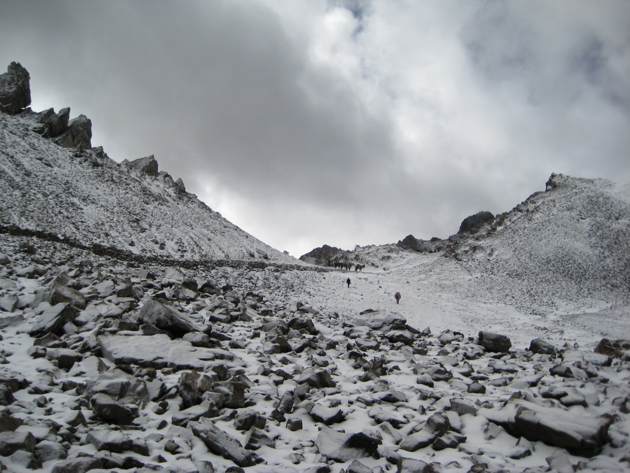
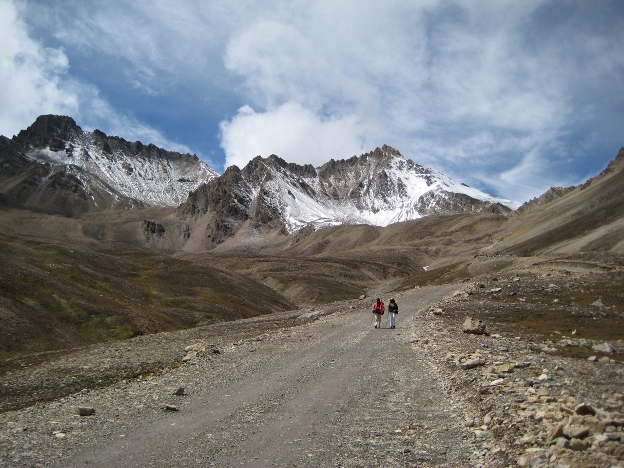
Approaching the Indo-Tibetan border
The road to Taklakot
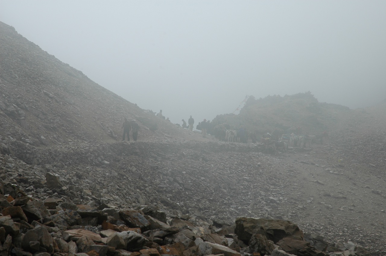
Entering Tibet
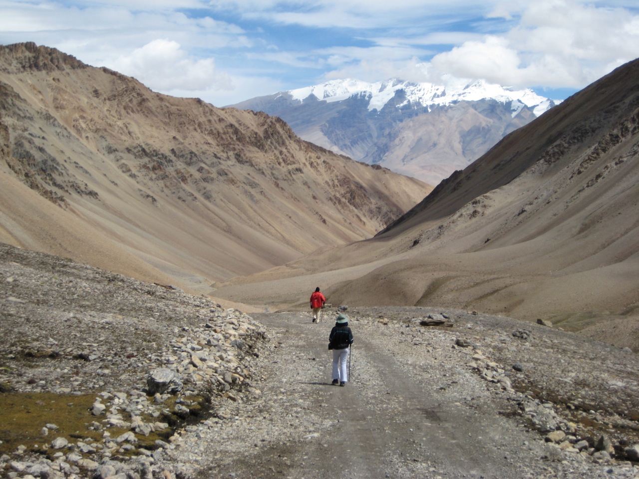
Our first steps in Tibet
Our first steps in Tibet

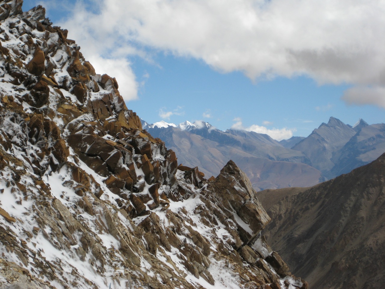
Peaks from Purang
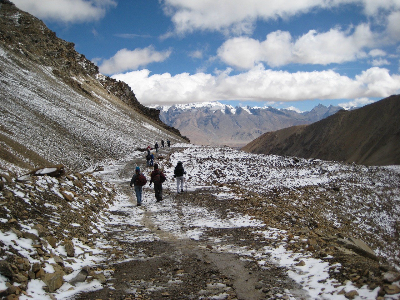
Welcome to India!
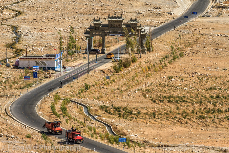
Gateway To Burang, Ngari, Tibet
Topographic Map of Burang, Ngari, Tibet, China
Find elevation by address:

Places in Burang, Ngari, Tibet, China:
Places near Burang, Ngari, Tibet, China:
Pulanzhen
Gurla Mandhata I
Byash
Api
Muchu
Mapam Yumco
Manasarovar
Saipal
Darchula
Seti
Khalanga
Api
Pithoragarh
Darma
Munsyari
Sarmoli
Askote
Government Primary School, Panagarh
Kanda Jhusiya
Gaina
Recent Searches:
- Elevation of Corso Fratelli Cairoli, 35, Macerata MC, Italy
- Elevation of Tallevast Rd, Sarasota, FL, USA
- Elevation of 4th St E, Sonoma, CA, USA
- Elevation of Black Hollow Rd, Pennsdale, PA, USA
- Elevation of Oakland Ave, Williamsport, PA, USA
- Elevation of Pedrógão Grande, Portugal
- Elevation of Klee Dr, Martinsburg, WV, USA
- Elevation of Via Roma, Pieranica CR, Italy
- Elevation of Tavkvetili Mountain, Georgia
- Elevation of Hartfords Bluff Cir, Mt Pleasant, SC, USA