Elevation of Buff Rd, Mountain Home, AR, USA
Location: United States > Arkansas > Baxter County > Mountain Home Township > Mountain Home >
Longitude: -92.346971
Latitude: 36.4312147
Elevation: 242m / 794feet
Barometric Pressure: 98KPa
Elevation Map:
Satellite Map:
Related Photos:

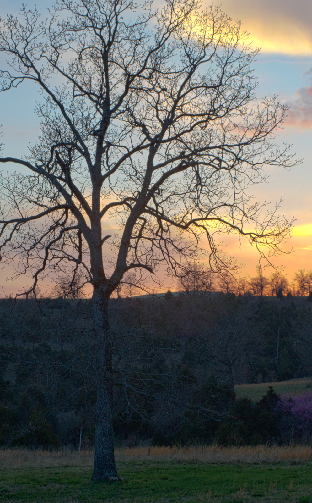
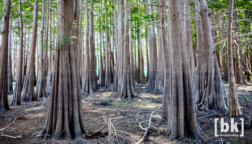
Listen to the Trees
Riverfront fixer-upper with a view.
Arkansas 2009 P7310938
pigeon creek view

278/365 [explored]

Exploring 3
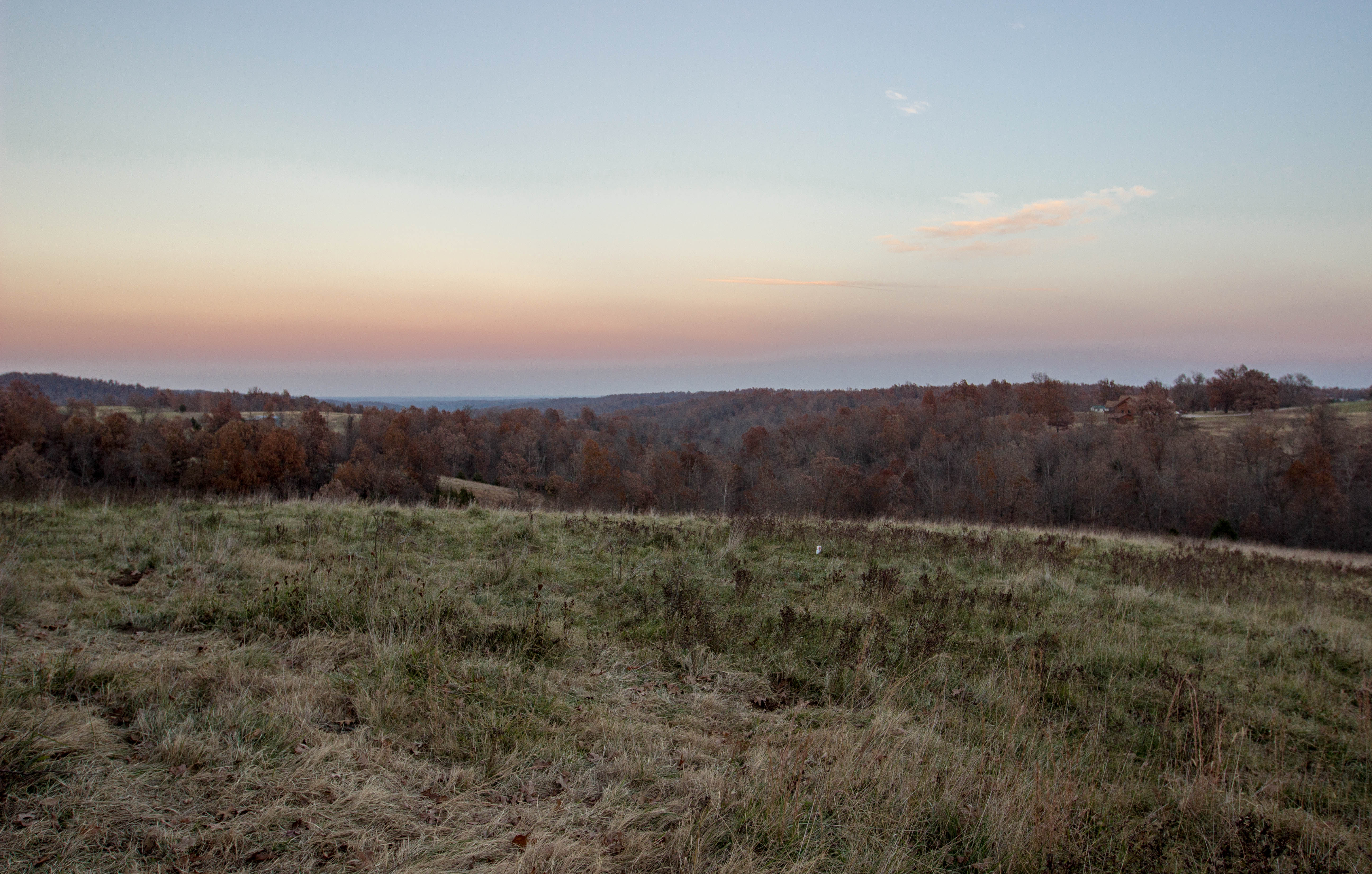
Sunset 1

Exploring 2
Untitled_HDR8-2-Edit.jpg
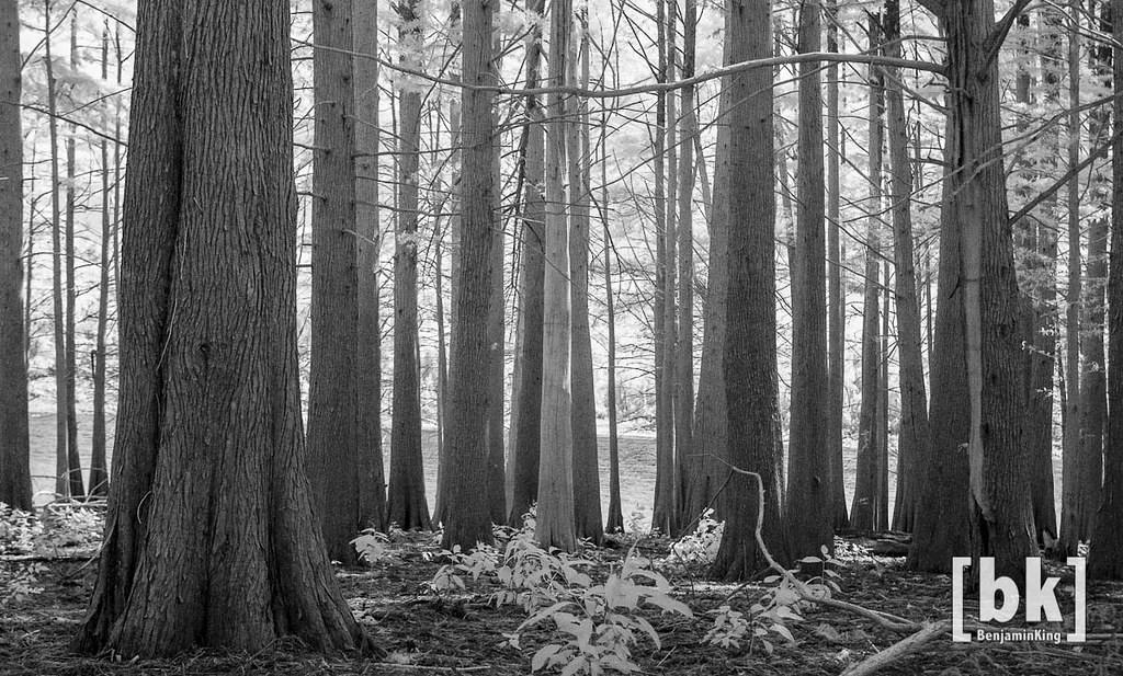
Listen to the Trees. No. 3 (infrared fun)

Sunlight Through the Trees

Thanksgiving Sunrise #2
Arkansas 2009 P7310921
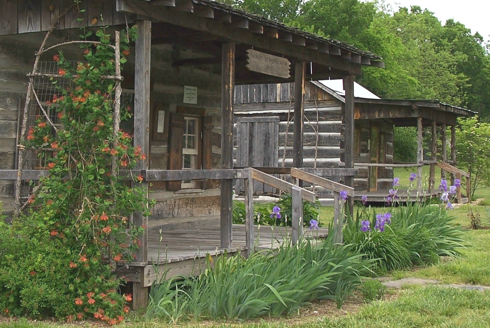
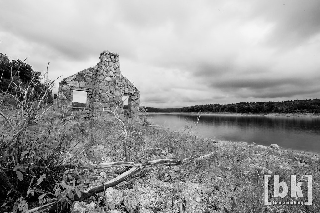
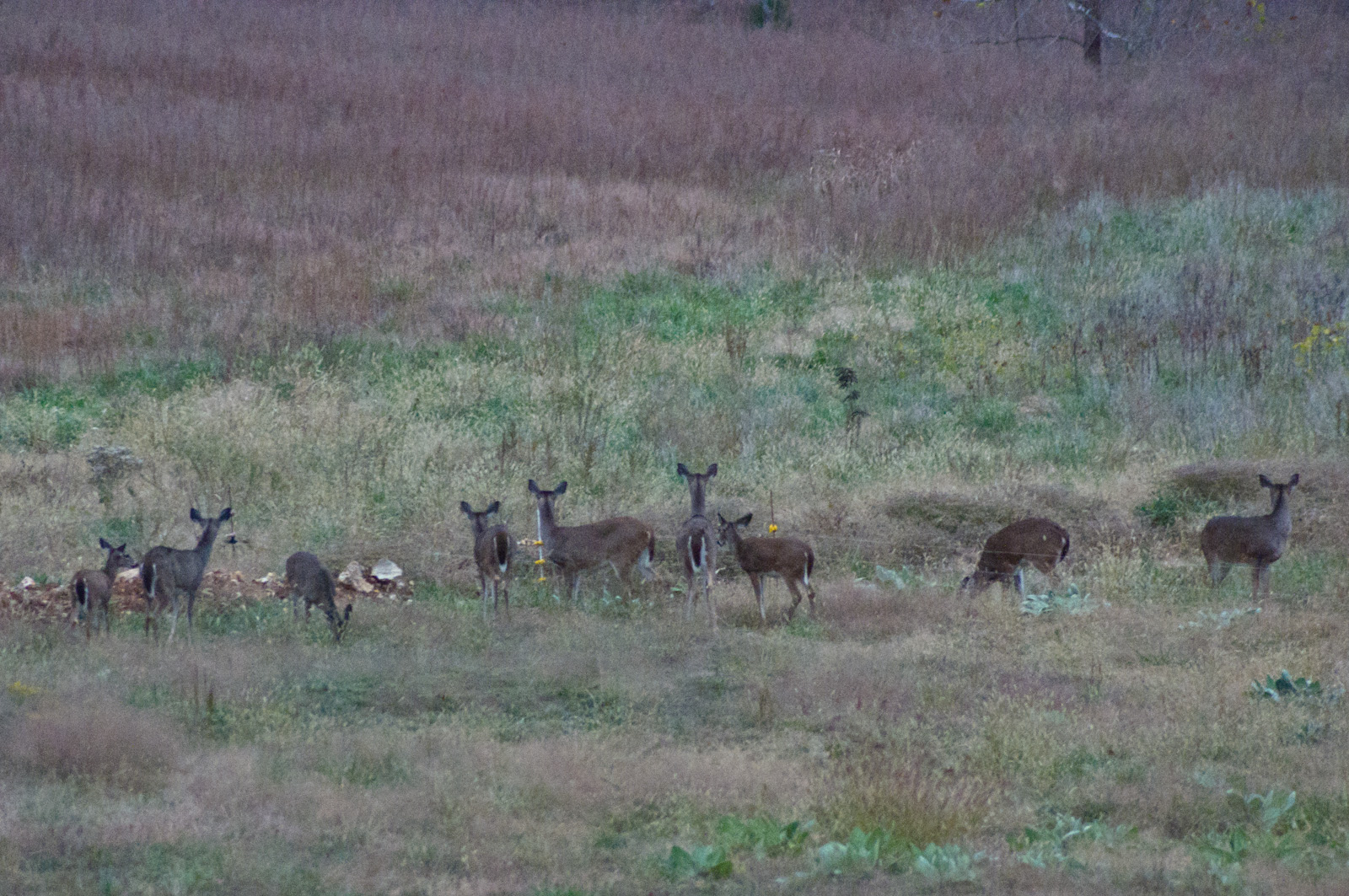
Rapps Barren Settlement

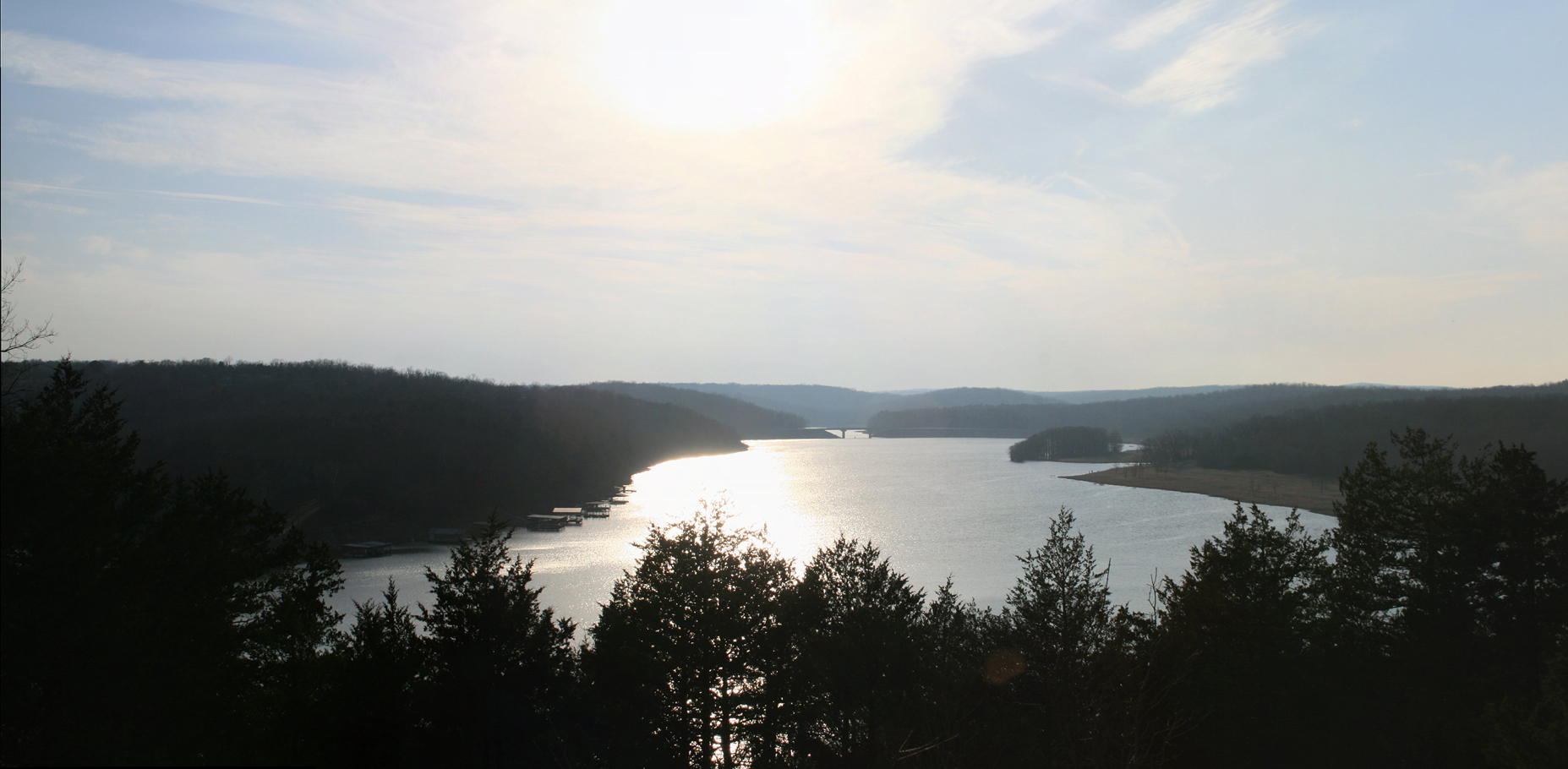
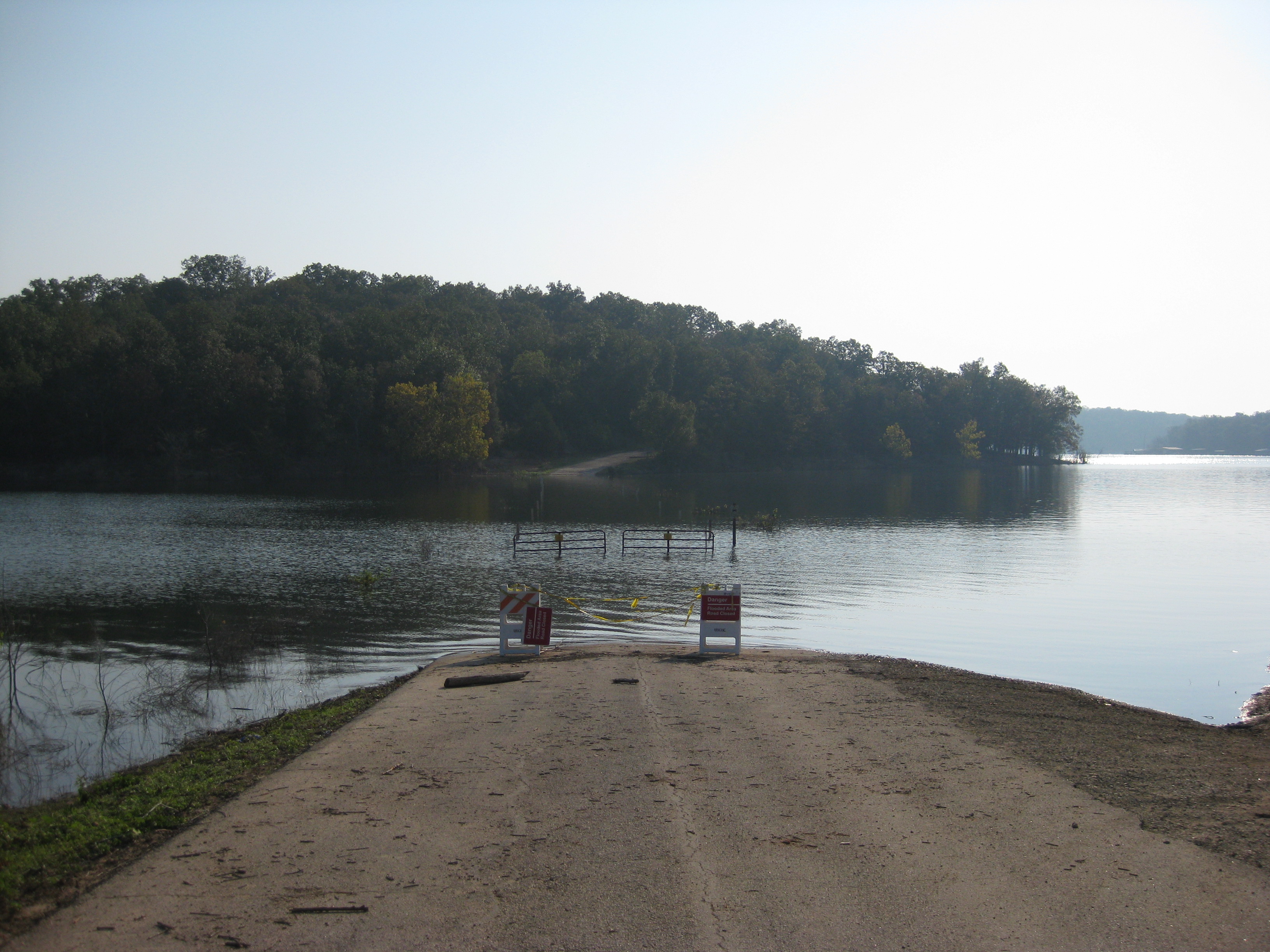
Crossing Norfork Lake
_IGP5299.jpg
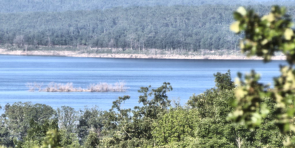
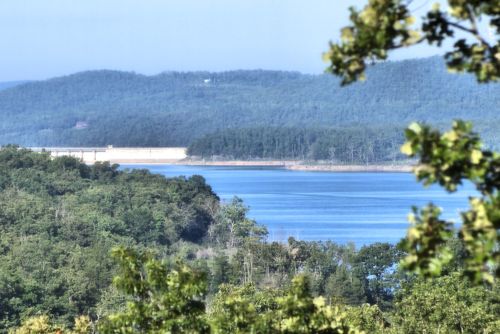
Norfork Lake
37 | Arkansas
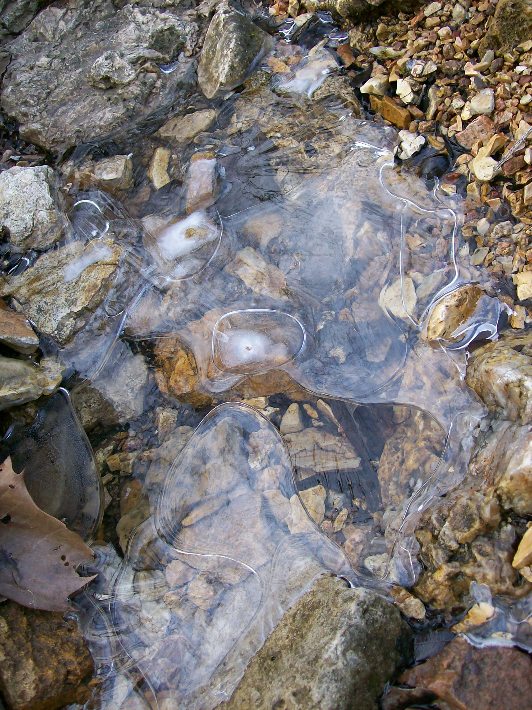
Ice creek

Norfolk Lake
Mountain Home, AR

Merry Christmas from Arkansas
Topographic Map of Buff Rd, Mountain Home, AR, USA
Find elevation by address:

Places near Buff Rd, Mountain Home, AR, USA:
Pigeon Township
45 Co Rd, Clarkridge, AR, USA
Clarkridge
9 Mallard Run Dr
9 Mallard Run Dr
9 Mallard Run Dr
9 Mallard Run Dr
407 Co Rd 25
Mallard Point Rd, Mountain Home, AR, USA
Mallard Run Drive
Irish Hl, Mountain Home, AR, USA
Dogwood Park
Baxter Crematory
Cabin Mill Trail
Cabin Mill Trail
1107 Hwy 62 E
Mountain Home Township
Sun Valley Cinema
Highway 62 East
4644 Ar-101
Recent Searches:
- Elevation of Corso Fratelli Cairoli, 35, Macerata MC, Italy
- Elevation of Tallevast Rd, Sarasota, FL, USA
- Elevation of 4th St E, Sonoma, CA, USA
- Elevation of Black Hollow Rd, Pennsdale, PA, USA
- Elevation of Oakland Ave, Williamsport, PA, USA
- Elevation of Pedrógão Grande, Portugal
- Elevation of Klee Dr, Martinsburg, WV, USA
- Elevation of Via Roma, Pieranica CR, Italy
- Elevation of Tavkvetili Mountain, Georgia
- Elevation of Hartfords Bluff Cir, Mt Pleasant, SC, USA