Elevation of Cabin Mill Trail, Mountain Home, AR, USA
Location: United States > Arkansas > Baxter County > Mountain Home Township > Mountain Home >
Longitude: -92.406272
Latitude: 36.4873451
Elevation: -10000m / -32808feet
Barometric Pressure: 295KPa
Elevation Map:
Satellite Map:
Related Photos:

Listen to the Trees
pigeon creek view

Luna Moth 2

Pier on Lake Norfork

Listen to the Trees. No. 3 (infrared fun)

Exploring 2

Untitled_HDR8-2-Edit.jpg
_IGP5299.jpg

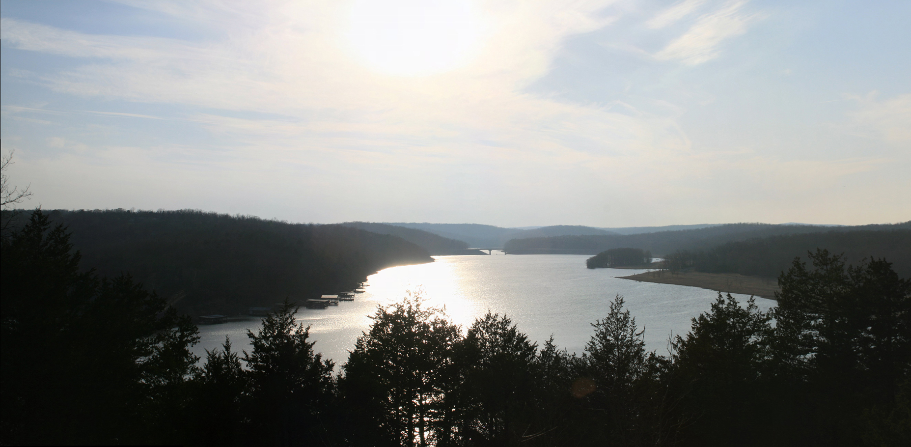
Norfork Lake

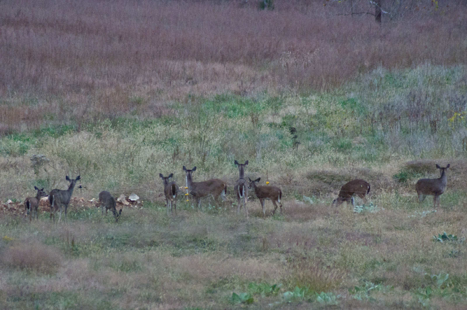
Deer 5
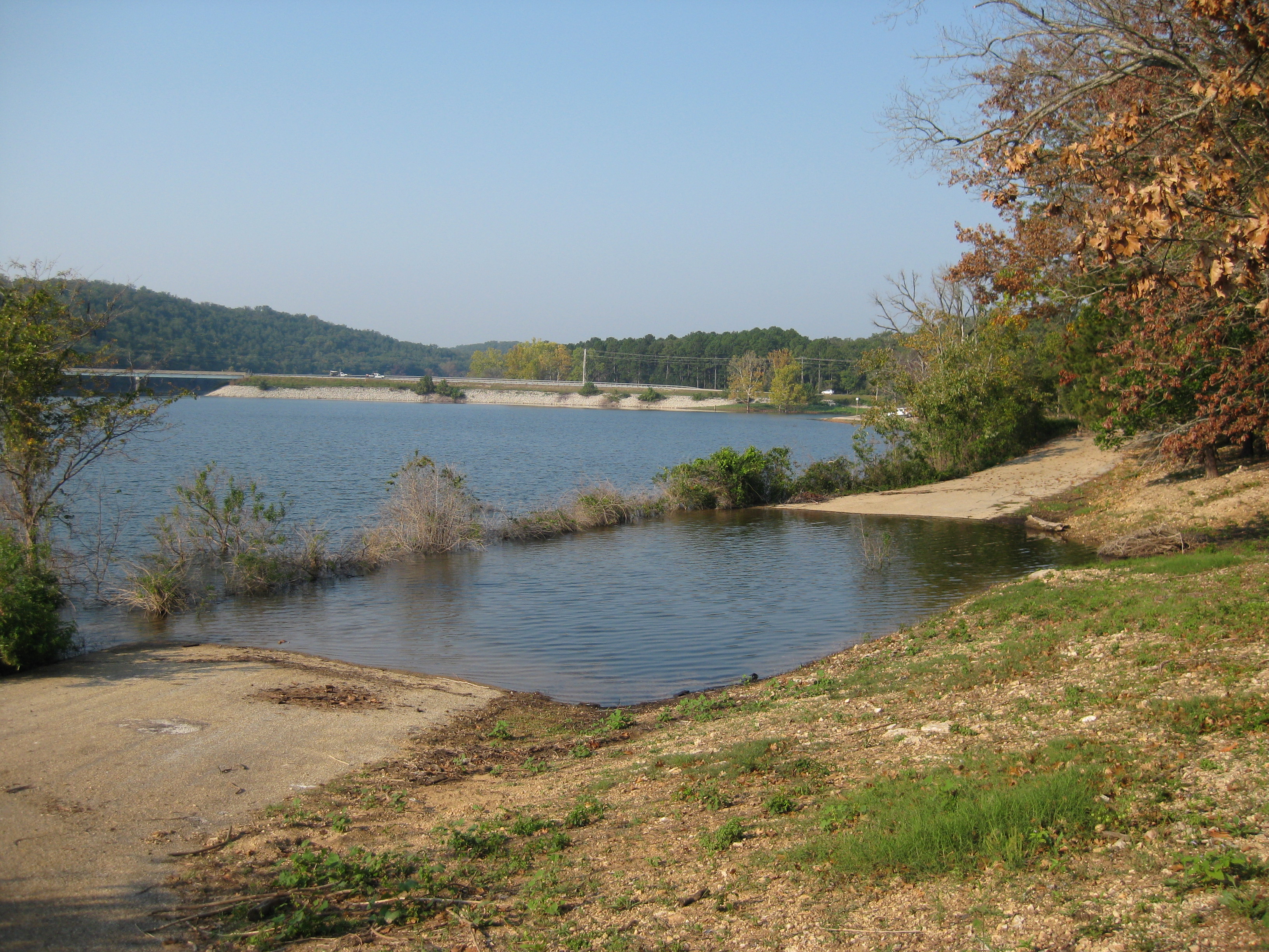
Norfork Lake

Norfolk Lake

Sarah Hogan - Trough Time

Norfork Lake

Oakland, Arkansas
Topographic Map of Cabin Mill Trail, Mountain Home, AR, USA
Find elevation by address:

Places near Cabin Mill Trail, Mountain Home, AR, USA:
Cabin Mill Trail
Clarkridge
45 Co Rd, Clarkridge, AR, USA
County Road 514
Pigeon Township
County Rd 5, Mountain Home, AR, USA
Logan Township
285 Buff Rd
Co Rd 13, Midway, AR, USA
AR-5, Midway, AR, USA
Midway
3981 Promise Land Rd
407 Co Rd 25
Baxter Crematory
County Road 12
189 High Ridge Cir
18 Windy Dr, Mountain Home, AR, USA
West Bridges Township
Grover Township
131 Co Rd 23
Recent Searches:
- Elevation of Corso Fratelli Cairoli, 35, Macerata MC, Italy
- Elevation of Tallevast Rd, Sarasota, FL, USA
- Elevation of 4th St E, Sonoma, CA, USA
- Elevation of Black Hollow Rd, Pennsdale, PA, USA
- Elevation of Oakland Ave, Williamsport, PA, USA
- Elevation of Pedrógão Grande, Portugal
- Elevation of Klee Dr, Martinsburg, WV, USA
- Elevation of Via Roma, Pieranica CR, Italy
- Elevation of Tavkvetili Mountain, Georgia
- Elevation of Hartfords Bluff Cir, Mt Pleasant, SC, USA