Elevation of Co Rd 23, Clarkridge, AR, USA
Location: United States > Arkansas > Baxter County > Pigeon Township > Clarkridge >
Longitude: -92.268625
Latitude: 36.4890153
Elevation: 247m / 810feet
Barometric Pressure: 98KPa
Elevation Map:
Satellite Map:
Related Photos:
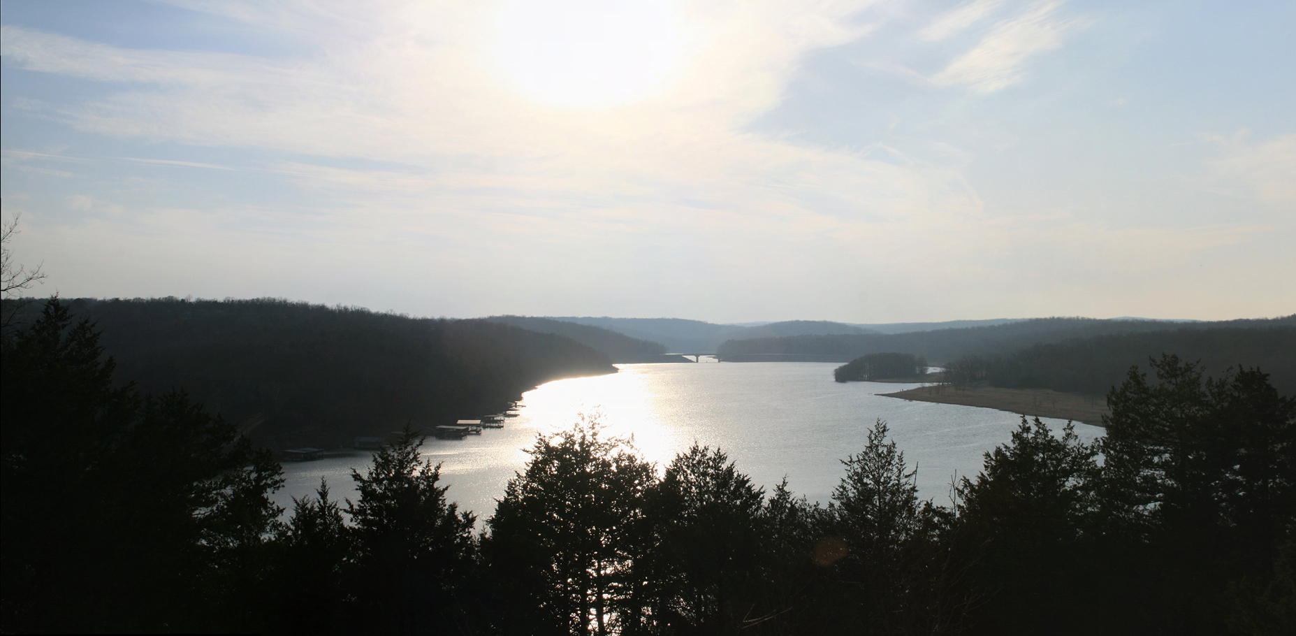
pigeon creek view

Luna Moth 2
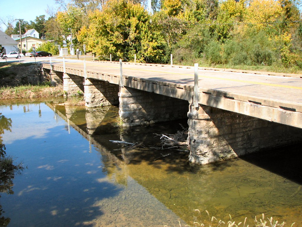
Side View: Bennett Bay Bridge
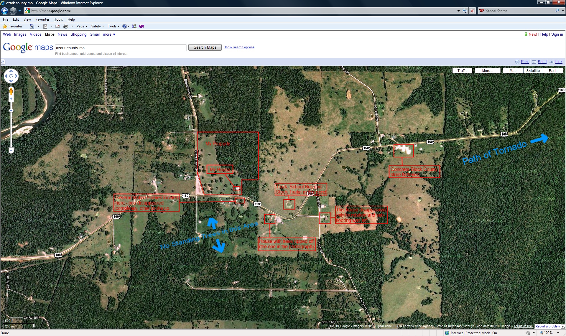
closer view of where the tornado was and my location

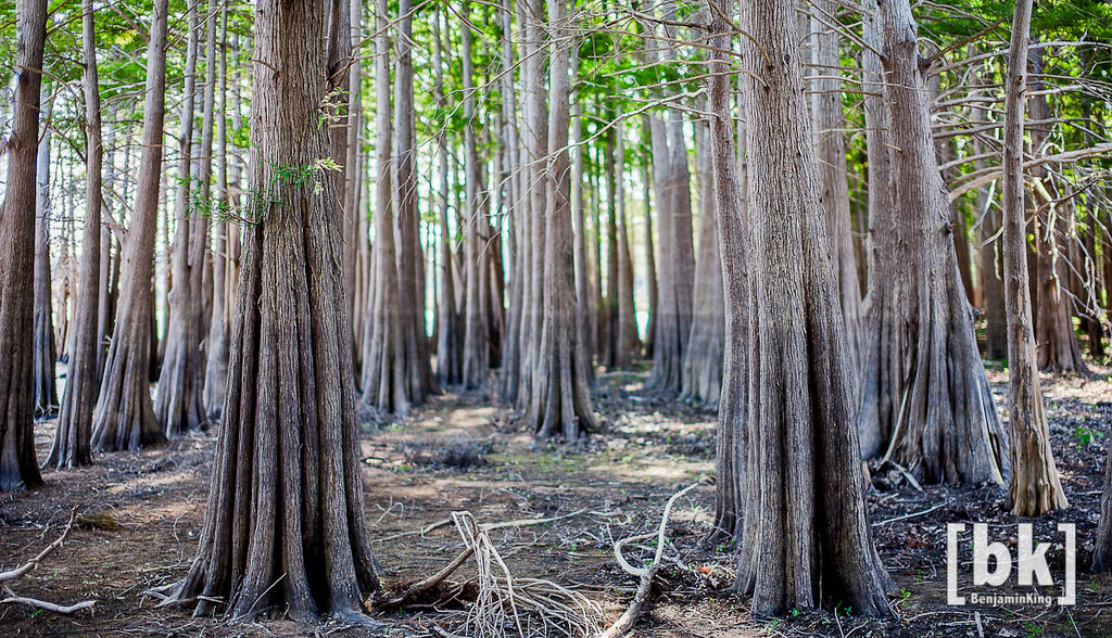
Listen to the Trees
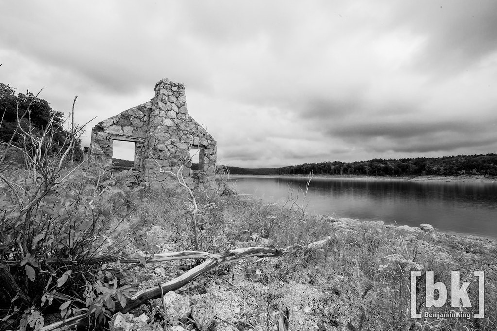
Riverfront fixer-upper with a view.

Sunlight Through the Trees
Untitled_HDR8-2-Edit.jpg
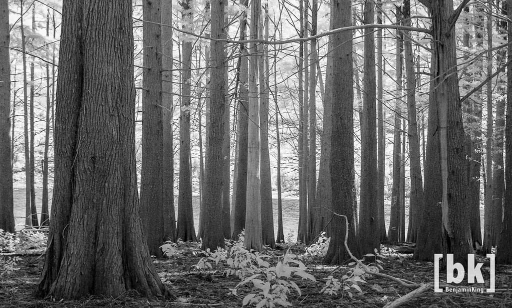
Listen to the Trees. No. 3 (infrared fun)
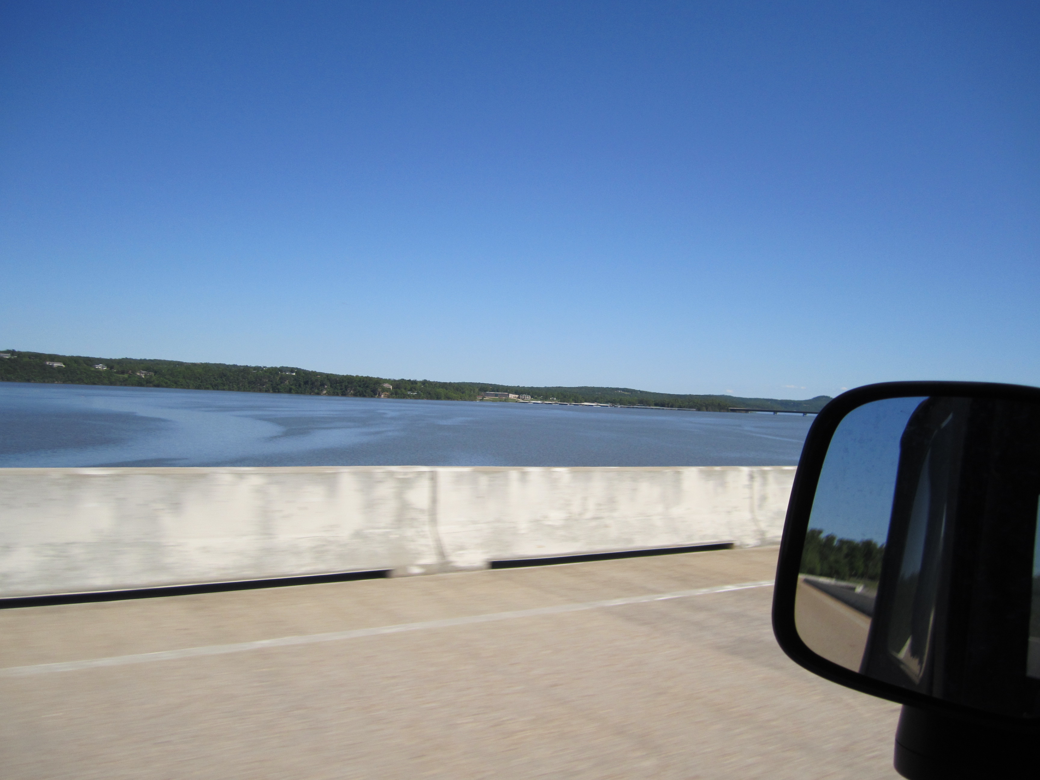
Crossing Norfork Lake

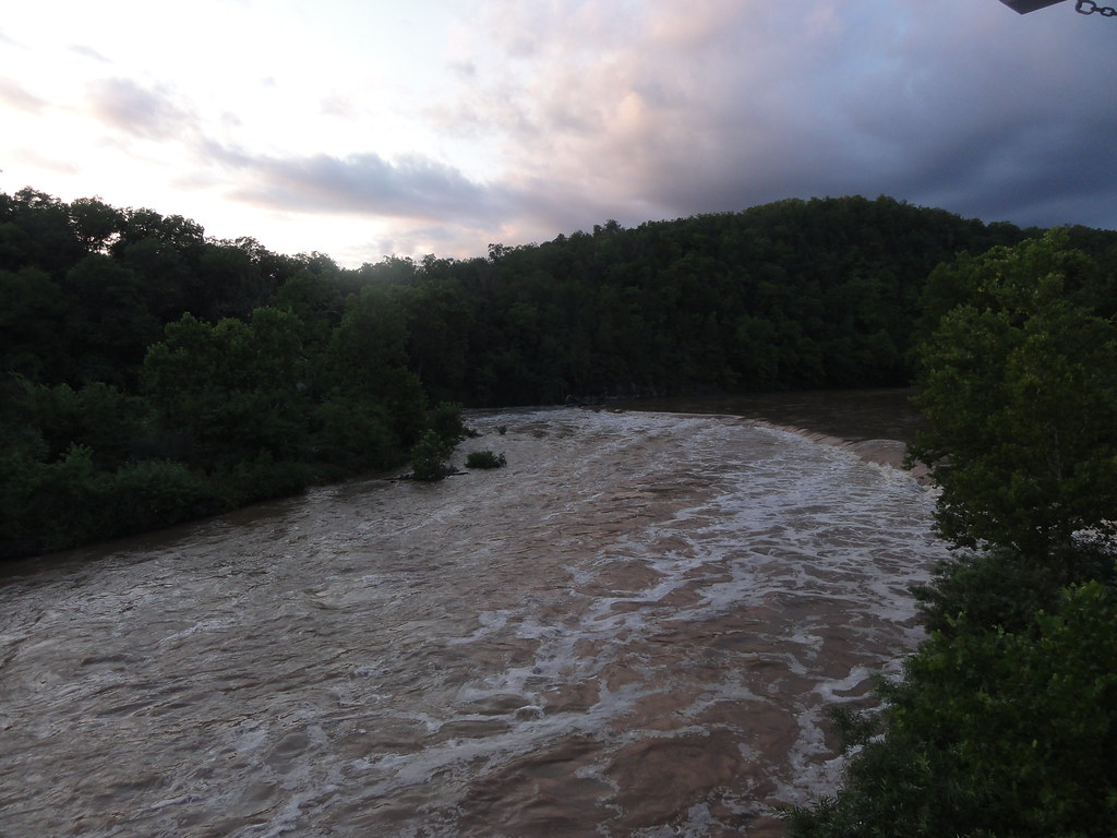
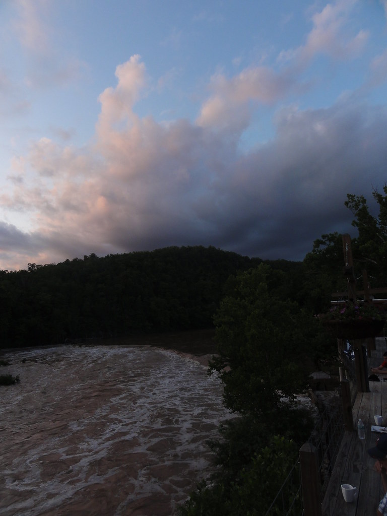
Dawt Mill Morning
DSC03562.JPG
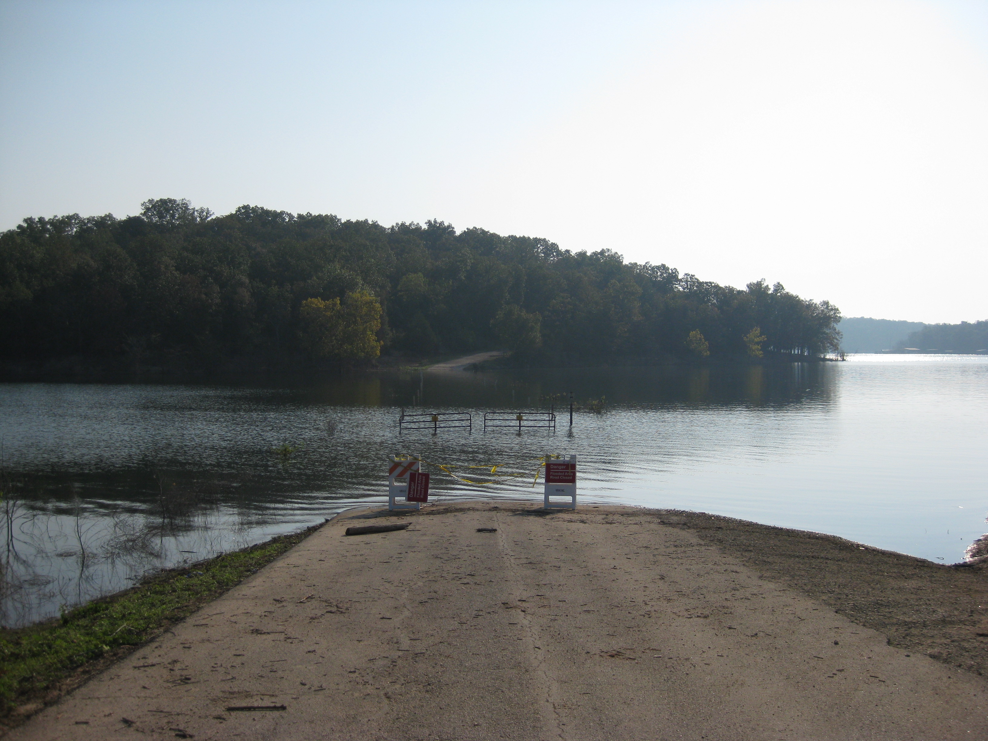
Norfork Lake
DSC03564.JPG
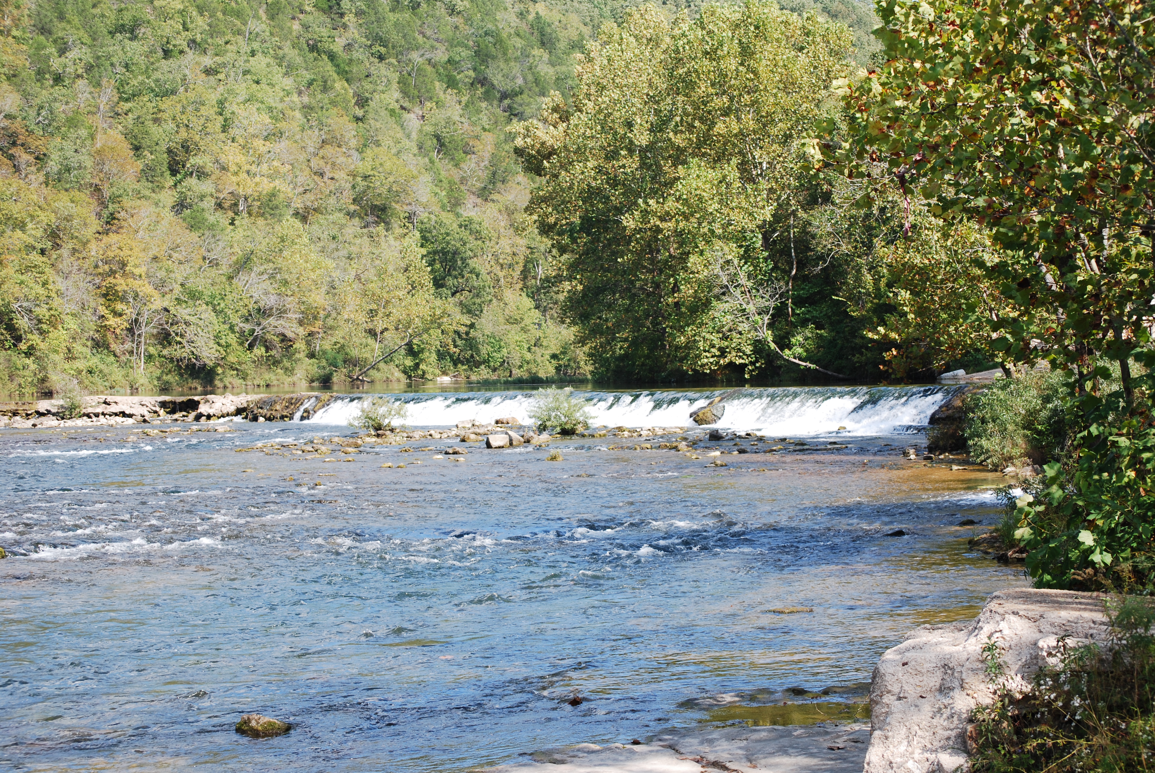
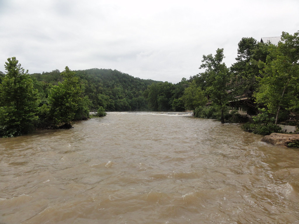
Dawt Mill Dam
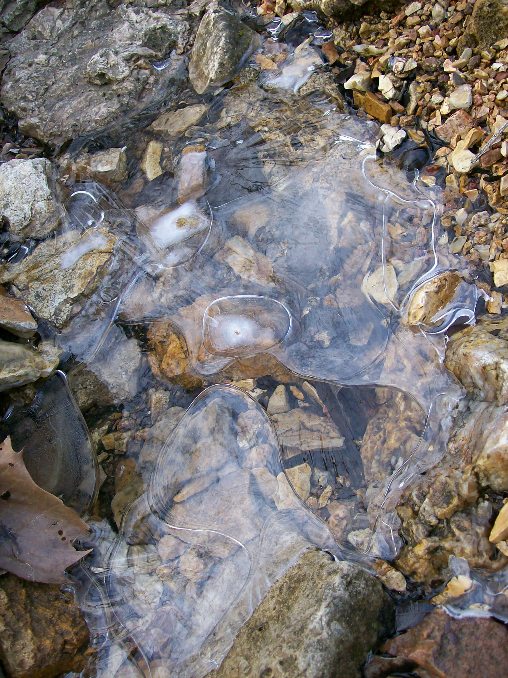
Ice creek

Norfolk Lake
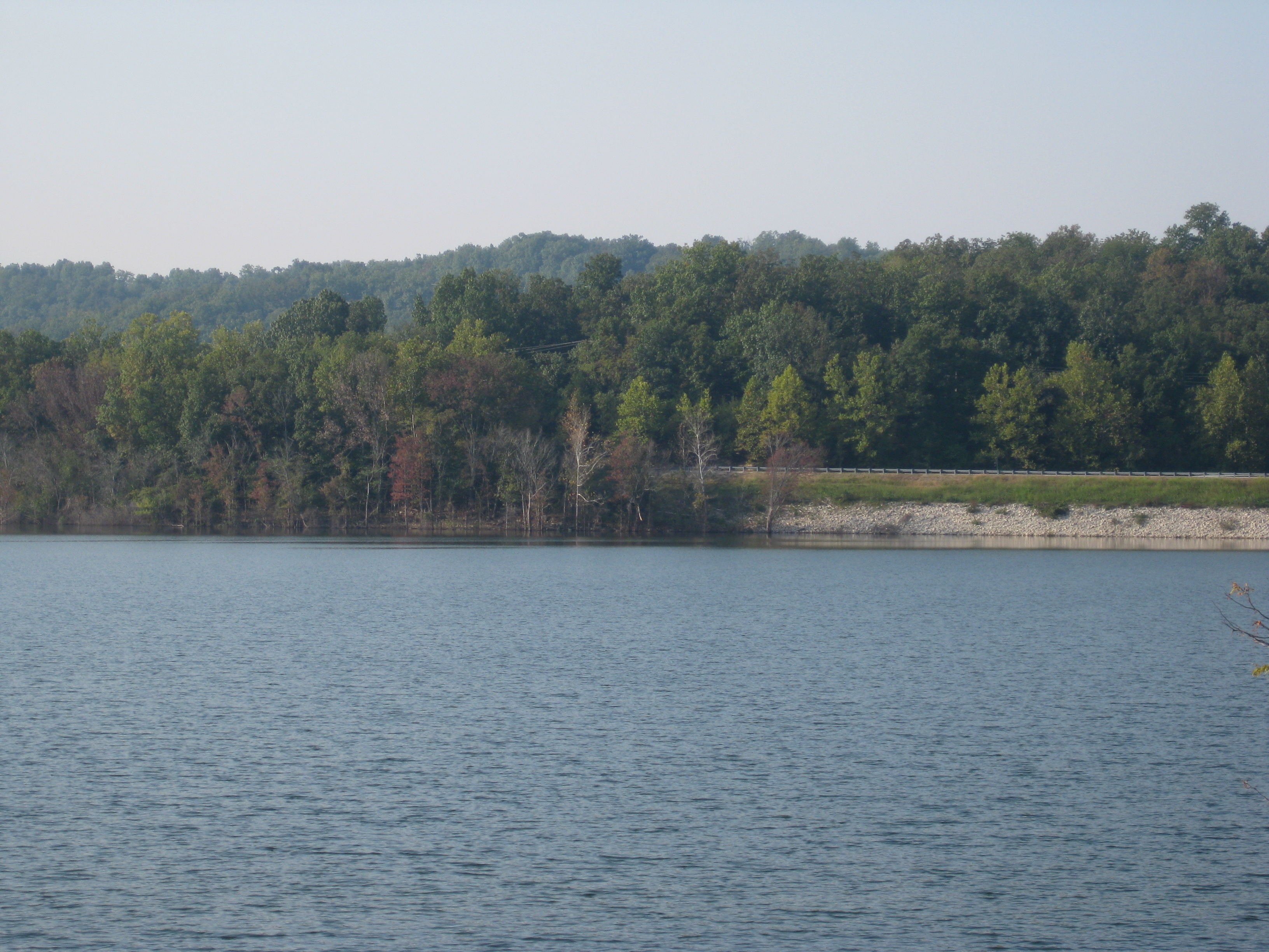
Norfork Lake
DSC03579.JPG

Merry Christmas from Arkansas
Topographic Map of Co Rd 23, Clarkridge, AR, USA
Find elevation by address:

Places near Co Rd 23, Clarkridge, AR, USA:
640 Co Rd 241
Gamaliel
Bayou Township
111 Arnett Ln
4644 Ar-101
Bayou I Township
45 Co Rd, Clarkridge, AR, USA
Clarkridge
Mallard Point Rd, Mountain Home, AR, USA
285 Buff Rd
Mill Township
Pigeon Township
Mallard Run Drive
1044 Ar-101
1044 Ar-101
1044 Ar-101
1044 Ar-101
9 Mallard Run Dr
9 Mallard Run Dr
9 Mallard Run Dr
Recent Searches:
- Elevation of Corso Fratelli Cairoli, 35, Macerata MC, Italy
- Elevation of Tallevast Rd, Sarasota, FL, USA
- Elevation of 4th St E, Sonoma, CA, USA
- Elevation of Black Hollow Rd, Pennsdale, PA, USA
- Elevation of Oakland Ave, Williamsport, PA, USA
- Elevation of Pedrógão Grande, Portugal
- Elevation of Klee Dr, Martinsburg, WV, USA
- Elevation of Via Roma, Pieranica CR, Italy
- Elevation of Tavkvetili Mountain, Georgia
- Elevation of Hartfords Bluff Cir, Mt Pleasant, SC, USA