Elevation of AR-, Gamaliel, AR, USA
Location: United States > Arkansas > Baxter County > Bayou Township > Gamaliel >
Longitude: -92.262427
Latitude: 36.4213345
Elevation: 255m / 837feet
Barometric Pressure: 98KPa
Elevation Map:
Satellite Map:
Related Photos:

Listen to the Trees

Riverfront fixer-upper with a view.
pigeon creek view

Google Street View 365° by Andrea Speziali

Ride to Arkansas

view from the photo stage

Side View: Bennett Bay Bridge

Luna Moth 2
Untitled_HDR8-2-Edit.jpg

Pier on Lake Norfork
Rapps Barren Settlement

Listen to the Trees. No. 3 (infrared fun)
Mountain Home, AR
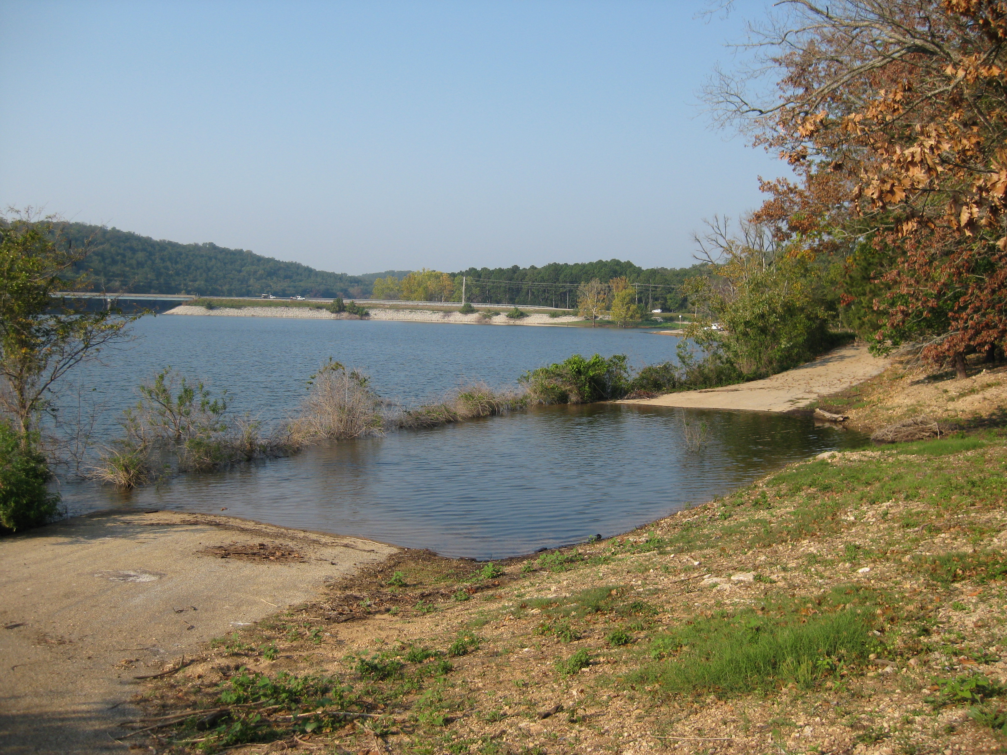
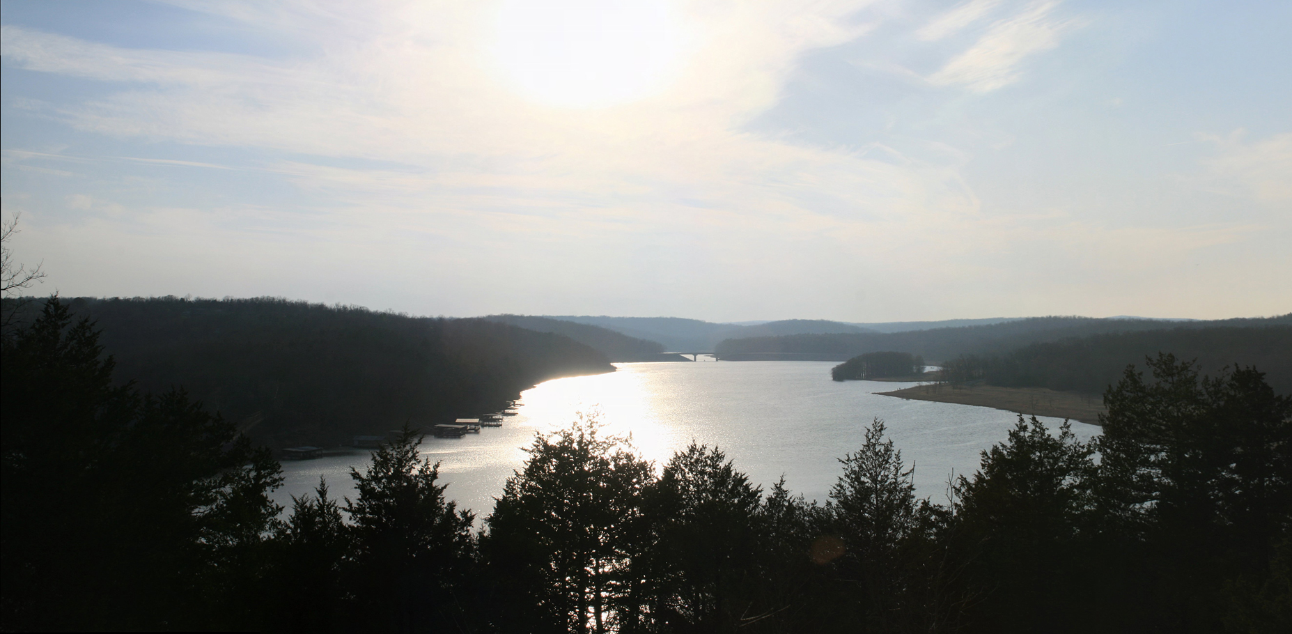
Norfork Lake

Norfolk Lake

Norfork Lake

Norfork Lake

Crossing Norfork Lake

Georges Cove this Morning
Picture 003

Picture 005

Ice creek

East Moon
Topographic Map of AR-, Gamaliel, AR, USA
Find elevation by address:

Places near AR-, Gamaliel, AR, USA:
Mallard Point Rd, Mountain Home, AR, USA
Mill Township
111 Arnett Ln
1044 Ar-101
1044 Ar-101
1044 Ar-101
1044 Ar-101
Gamaliel
640 Co Rd 241
Henderson
Mallard Run Drive
Dogwood Park
349 Forest Hills Dr
Irish Hl, Mountain Home, AR, USA
9 Mallard Run Dr
9 Mallard Run Dr
9 Mallard Run Dr
9 Mallard Run Dr
131 Co Rd 23
Bayou Township
Recent Searches:
- Elevation of Corso Fratelli Cairoli, 35, Macerata MC, Italy
- Elevation of Tallevast Rd, Sarasota, FL, USA
- Elevation of 4th St E, Sonoma, CA, USA
- Elevation of Black Hollow Rd, Pennsdale, PA, USA
- Elevation of Oakland Ave, Williamsport, PA, USA
- Elevation of Pedrógão Grande, Portugal
- Elevation of Klee Dr, Martinsburg, WV, USA
- Elevation of Via Roma, Pieranica CR, Italy
- Elevation of Tavkvetili Mountain, Georgia
- Elevation of Hartfords Bluff Cir, Mt Pleasant, SC, USA